 Outdoor Pitstop
Walking route · Midden-Drenthe · Drenthe Trail · Updated on 5 November 2026
Drenthepad walk
Drenthepad is a walk of 364.7 km from Midden-Drenthe that starts and ends at the same spot. Along the way: 758 benches and picnic tables, 19 water fountains and refill points and 16 public toilets.
i
The route step by step
From start to finish, with what you pass along the way and the distance in between.
- 364.7 km
- ± 3:50 h per stage
- ↑ 136 m · ↓ 153 m
- Moderate per stage
- Circular walk
- Regional route
Start in Midden-Drenthe
0 kmAt the start: water point.
13 km · 32 benches
Public toilet
13 km3.7 km · 4 benches

Benderse Berg
16.7 kmViewpoint
1.9 km · 2 benches
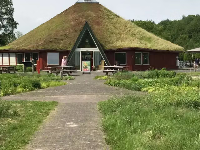
Bezoekerscentrum Dwingelderveld
18.6 kmAttraction
2.9 km · 6 benches
2 water fountains and refill points
21.5 km17.3 km · 50 benches
Public toilet and water point
38.8 km1.3 km · 12 benches
Hunebed D53 Havelterberg and 1 more
40.1 kmHunebed D54 Havelterberg
16.3 km · 10 benches
Schultehuis and 1 more
56.4 kmOermuseum
1.3 km · 45 benches
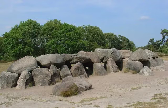
Hunebed D52 Diever
57.7 kmArchaeological site
19 km · 26 benches
Water point
76.7 km1.7 km · 5 benches
Bosbergtoren
78.4 kmObservation tower
516 m · 7 benches
Water point
78.9 km1.2 km · 4 benches
Public toilet
80.1 km15.5 km · 18 benches
Water point
95.6 km3.8 km · 11 benches
De Rode Pannen and 1 more
99.4 kmGevangenismuseum
10.9 km · 14 benches
Hunebed D2 Westervelde
110.3 kmArchaeological site · Audio story · 2 min
20.4 km · 59 benches
Mensinge
130.6 kmMuseum
176 m · 2 benches
Public toilet
130.8 km6.9 km · 31 benches
Public toilet
137.7 km2 km · 20 benches
Public toilet
139.7 km2.7 km · 2 benches
Public toilet
142.4 km175 m
2 public toilets
142.6 km22.6 km · 38 benches
Huize Lemferdinge
165.2 kmCastle
1.8 km · 20 benches
Museum Vosbergen
167 kmMuseum
12.4 km · 27 benches
Hunebed D3 Midlaren and 1 more
179.3 kmHunebed D4 Hunenborg
7.8 km · 8 benches
Laarwoud
187.2 kmCastle
3.8 km · 14 benches
Public toilet
191 km190 m
Public toilet
191.1 km4.3 km · 6 benches
Archaeological site
5.8 km · 7 benches
Hunebed D11 Anloo
201.2 kmArchaeological site
Show the other 25 steps
21.4 km · 30 benches
Hunebed D25 Bronneger and 2 more
222.5 kmHunebed D23 Bronneger and Hunebed D24 Bronneger
2 km · 7 benches
Hunebed D27 Borger
224.6 kmArchaeological site
9.9 km · 20 benches
Hunebed D30 Boswachterij Exloo
234.5 kmArchaeological site
2.6 km · 4 benches
Water point
237.1 km225 m · 4 benches
Water point
237.4 km13 km · 18 benches
Hunebed D35 Valthe Zuid-west
250.4 kmArchaeological site
412 m · 3 benches
Het onderduikershol 1942-1945
250.8 kmAttraction
7.9 km · 11 benches
2 water fountains and refill points
258.7 km751 m · 23 benches
Public toilet
259.4 km615 m · 11 benches
Public toilet and water point
260 km344 m · 4 benches
Public toilet
260.4 km9.8 km · 17 benches
Water point
270.2 km15.1 km · 20 benches
Klinkenberg
285.3 kmArchaeological site
24.5 km · 25 benches
2 water fountains and refill points
309.8 km3.3 km · 7 benches
ijzertijdboerderij
313.1 kmAttraction
2.2 km · 3 benches
Public toilet
315.3 km18.9 km · 8 benches
Uitkijktoren Holmers-Halkenbroek
334.1 kmObservation tower
3.7 km · 2 benches
Nationaal Monument Westerbork
337.9 kmMemorial
222 m · bench
Monument van de 102.000 Stenen and 1 more
338.1 kmDe Gesproken Namen
327 m · 4 benches
Voormalige commandantswoning and 1 more
338.4 kmTekens in Westerbork and water point
702 m · bench
Public toilet
339.1 km23.4 km · 23 benches
Water point
362.5 km1.1 km · 7 benches
Water point
363.6 km163 m · 10 benches
Water point
363.8 km907 m · 15 benches
Back at the start
364.7 km
Longest stretch without a toilet: 68.3 kmBetween 191.1 km and 259.4 km there is no public toilet within 100 m of the route.
The route with the water points, toilets and sights within 100 m of it.
34 sights along the way
In the order you pass them. With the Outdoor Pitstop app you hear their story on the spot. 26 more along the route are on the map.

Viewpoint · after 16.7 km
i
Photo: G.Lanting · Wikimedia Commons · CC BY 4.0View the photo on Wikimedia CommonsAttraction · after 18.6 km
- Story
Hunebed D53 Havelterberg
Archaeological site · after 40.1 km
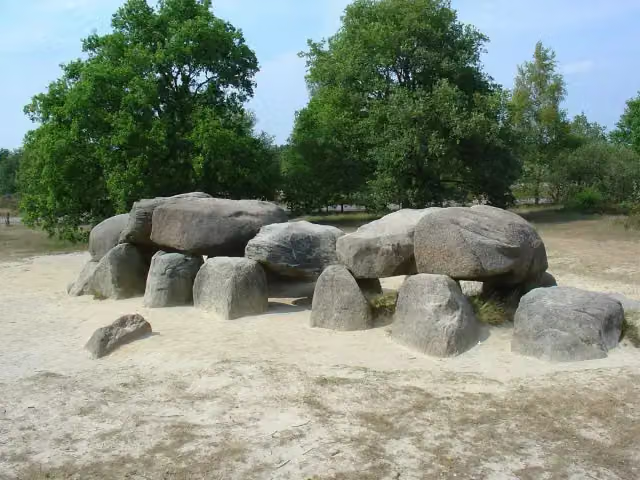 Audio story · 2 min
Hunebed D54 Havelterberg
Archaeological site · after 40.3 km
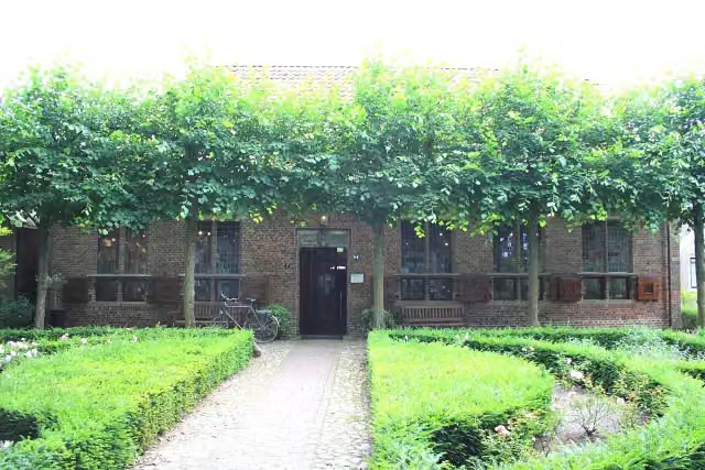
i
Photo: Pa3ems · Wikimedia Commons · CC BY-SA 3.0View the photo on Wikimedia CommonsCastle · after 56.4 km
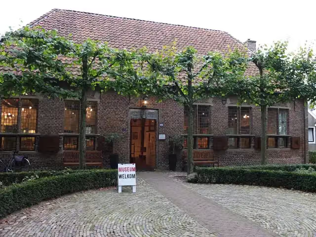
i
Photo: Drenthe007 · Wikimedia Commons · CC BY-SA 3.0View the photo on Wikimedia CommonsMuseum · after 56.4 km
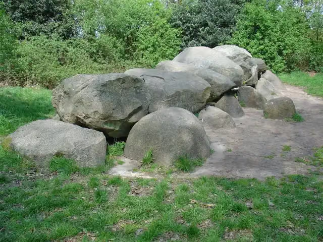 Story
Hunebed D52 Diever
Archaeological site · after 57.7 km
Observation tower · after 78.4 km
Stages (21)
- 1Stage 0121.6 km
- 2Stage 0217 km
- 3Stage 0317.8 km
- 4Stage 0423.3 km
- 5Stage 0514.4 km
- 6Stage 0619.1 km
- 7Stage 0718 km
- 8Stage 0823.5 km
- 9Stage 0917.2 km
- 10Stage 1016.1 km
- 11Stage 1121.1 km
- 12Stage 1216.4 km
- 13Stage 1318 km
- 14Stage 1415.2 km
- 15Stage 1519.4 km
- 16Stage 1614.5 km
- 17Stage 1717 km
- 18Stage 1816.3 km
- 19Stage 1917.4 km
- 20Stage 2020.2 km
- 21Aanlooproute GietenAccess route Gieten1.1 km
Elevation and terrain
- Up
- ↑ 136 m
- Down
- ↓ 153 m
- Highest point
- 26 m
- Lowest point
- -1 m
- 3 stairs
Elevation from AHN (Rijkswaterstaat), smoothed.
Way types
364.7 km in total- Track: 139.2 km
- Path: 87.1 km
- Road: 69 km
- Cycleway: 38.7 km
- Footpath: 16.4 km
- Street: 11.8 km
- Busy road: 834 m
- Stairs: 3 stairs
Surfaces
364.7 km in total- Natural: 79.2 km
- Paved: 52.1 km
- Asphalt: 49 km
- Unpaved: 38.3 km
- Gravel: 20.2 km
- Unknown: 124.4 km
About the walking route Drenthepad
Updated on 5 November 2026, with data from OpenStreetMap and the AHN.
Where do you walk?
Drenthepad is a circular walk of 364.7 km from Midden-Drenthe: it starts and ends in the same place. Along the way you pass Benderse Berg (after 16.7 km), Bezoekerscentrum Dwingelderveld (after 18.6 km) and Hunebed D53 Havelterberg (after 40.1 km).
How hard is the route?
You climb 136 m in total and descend 153 m. There are 3 flights of steps along the way. Allow ± 3:50 h per stage, without breaks. The level is moderate per stage.
What paths do you walk on?
The longest part is track (139.2 km), path (87.1 km) and road (69 km). Of the surface, 79.2 km natural and 52.1 km paved. For 124.4 km the surface is not known.
Pitstops along the way
Within 100 metres of the route there are 758 benches and picnic tables, 19 water fountains and refill points and 16 public toilets. The longest stretch without a toilet is 68.3 km. The Outdoor Pitstop app navigates you there.
Walks nearby
6Sights nearby
Within 10 km of the route, best known first.
- 1
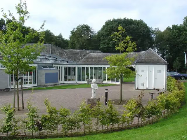 HunebedcentrumMuseum · 130 m from the route
- 2
 Hortus HarenAttraction · 3.5 km from the route
- 3
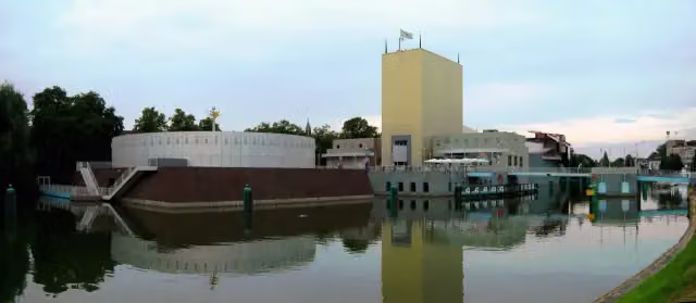 Groninger MuseumMuseum · 3.8 km from the route
- 4
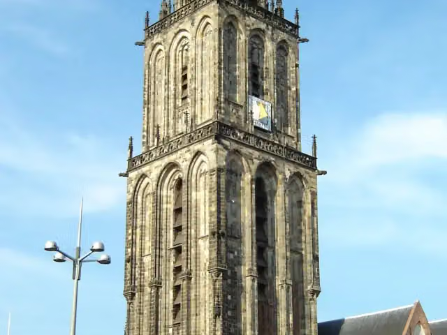 MartinitorenViewpoint · 4.4 km from the route
- 5
 NoorderplantsoenArchaeological site · 4.3 km from the route
- 6
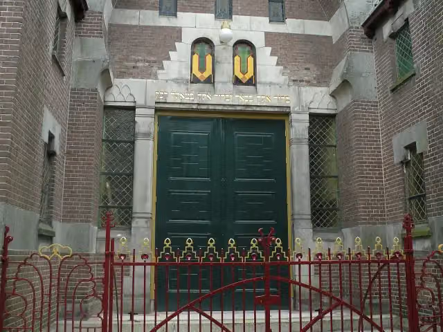 Synagoge GroningenMuseum · 4 km from the route
- 7
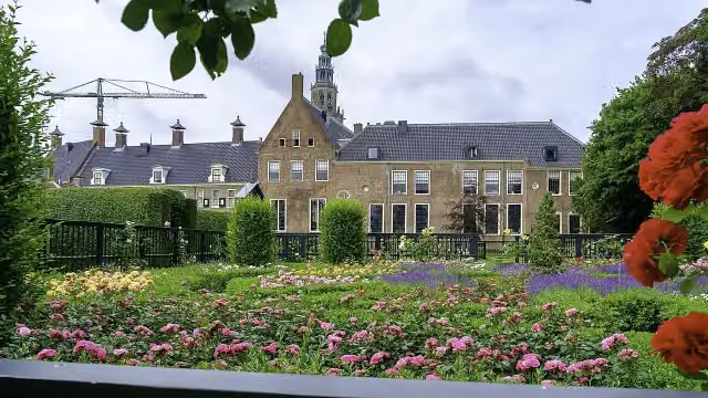 PrinsentuinAttraction · 4.6 km from the route
- 8
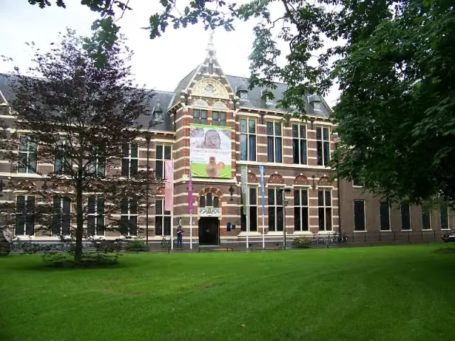 Drents MuseumMuseum · 7.7 km from the route
- 9
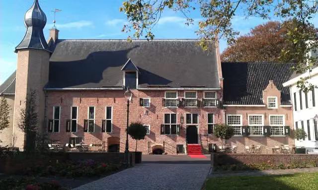 Kasteel van CoevordenCastle · 9.4 km from the route
- 10
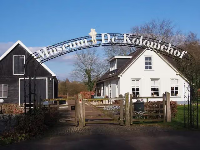 Museum De ProefkolonieMuseum · 4.2 km from the route
- 11
 Internationaal KlompenmuseumMuseum · 785 m from the route
- 12
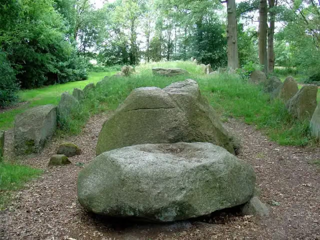 Hunebed D43 Emmen SchimmeresArchaeological site · 856 m from the route
- 13
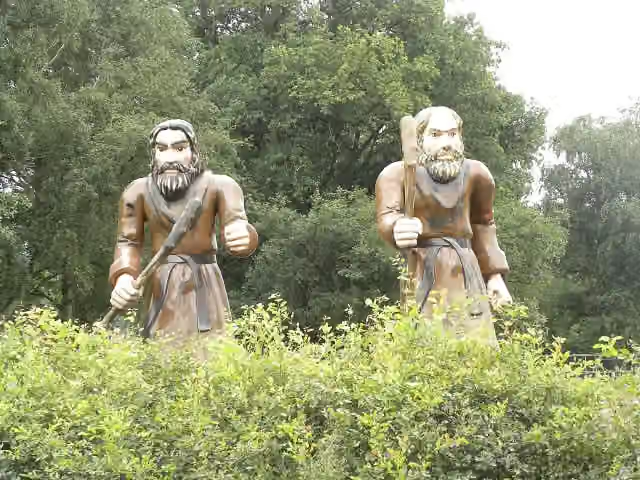 Openluchtmuseum Ellert en BrammertMuseum · 3.6 km from the route
- 14
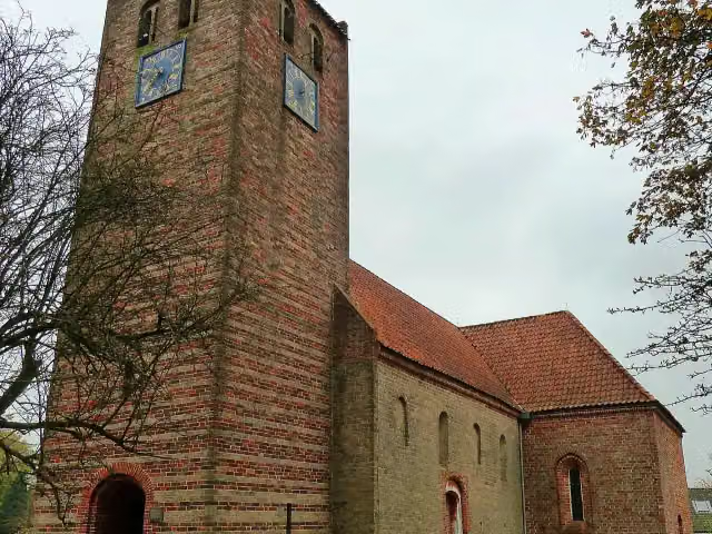 De HaringetersMemorial · 6.4 km from the route
- 15
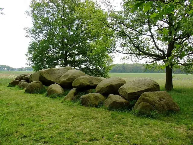 Hunebed D16 BallooArchaeological site · 6.6 km from the route
- 16
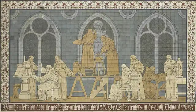 KloostermuseumMuseum · 7.7 km from the route
- 17
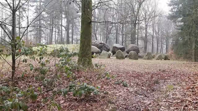 Hunebed D49 Papeloze kerkArchaeological site · 5.3 km from the route
- 18
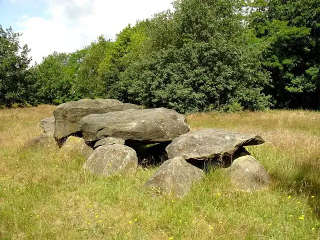 Hunebed D41 Emmen NoordArchaeological site · 1.2 km from the route
- 19
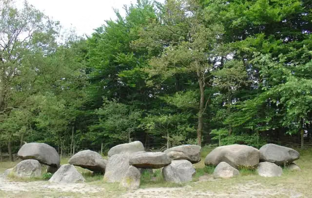 Hunebed D1 SteenbergenArchaeological site · 1.5 km from the route
- 20
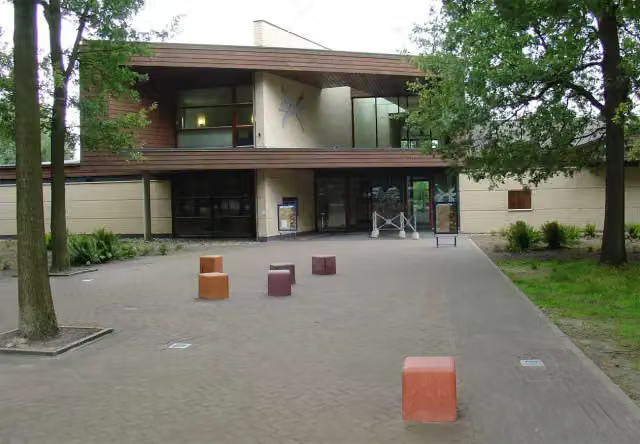 Herinneringscentrum Kamp WesterborkMuseum · 128 m from the route
- 21
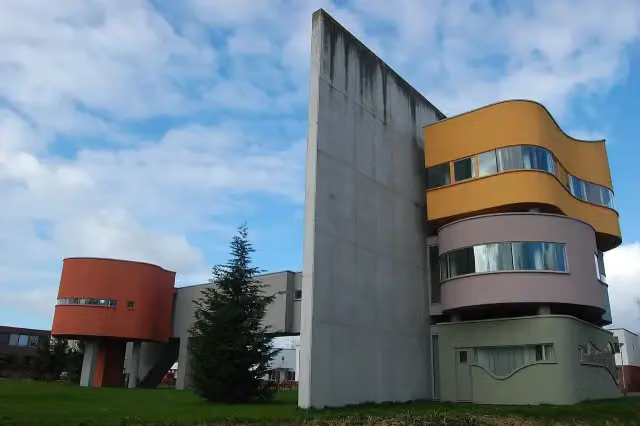 Wall House #2Museum · 1.4 km from the route
- 22
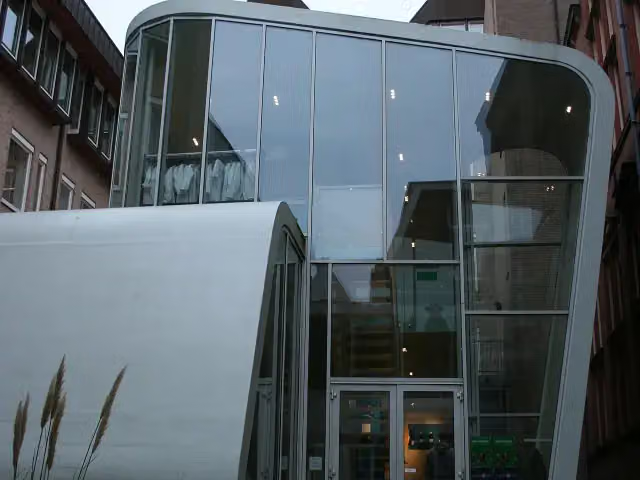 University MuseumMuseum · 4.1 km from the route
- 23
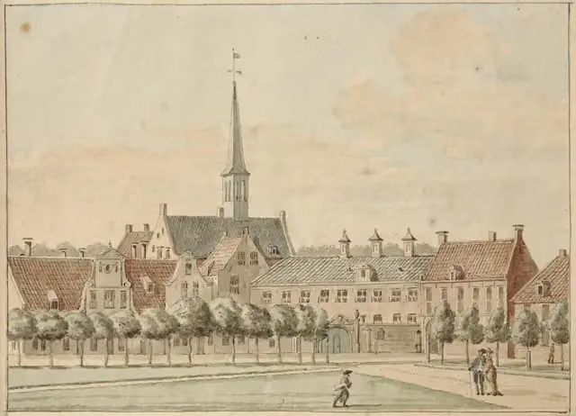 PrinsenhofCastle · 4.6 km from the route
- 24
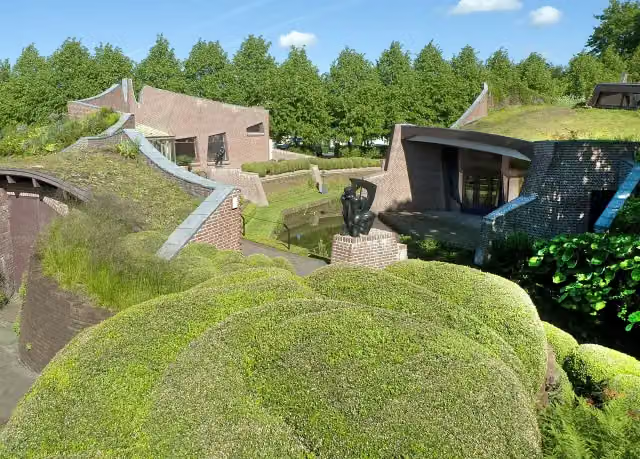 Museum De BuitenplaatsMuseum · 1.4 km from the route
- 25
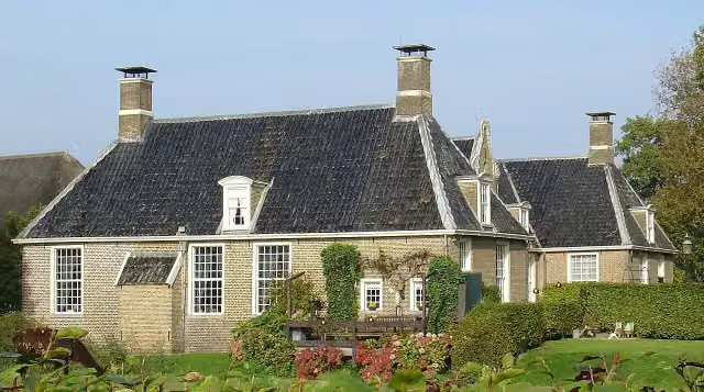 De KlenckeCastle · 383 m from the route
Explore more
More walks around Midden-Drenthe
Frequently asked questions
How long is Drenthepad?
Drenthepad is 364.7 km long, in 21 stages of 17.4 km on average. Allow ± 3:50 h per stage of walking: 4.5 km an hour and 10 minutes more per 100 metres of climbing, without breaks.
Is this route a circular walk?
Yes, the route starts and ends at the same spot.
Where does this route start?
The route starts in Midden-Drenthe.
How hard is this route?
Moderate per stage, with 6 m per stage of climbing.
Are there toilets along this route?
Yes, there are 16 public toilets within 100 m of the route. The longest stretch without a toilet is 68.3 km.
Can you fill up with water along this route?
Yes, there are 19 water fountains and refill points within 100 m of the route.
What is there to see along this route?
Along the way you pass Benderse Berg, Bezoekerscentrum Dwingelderveld and Hunebed D53 Havelterberg.
Start place
More routes from this place
Route data © OpenStreetMap contributors





