 Outdoor Pitstop
Walking route · Westerveld · Drenthe Trail - 4 · Updated on 5 November 2026
Drenthepad - 4 walk
Drenthepad - 4 is a walk of 23.3 km from Westerveld. Along the way you'll find 71 benches and picnic tables and 2 water fountains and refill points.
i
i
The route step by step
From start to finish, with what you pass along the way and the distance in between.
- 23.3 km
- ± 5:10 h
- ↑ 6 m · ↓ 7 m
- Hard
- From A to B
- Regional route
Start in Westerveld
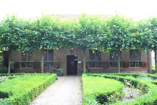
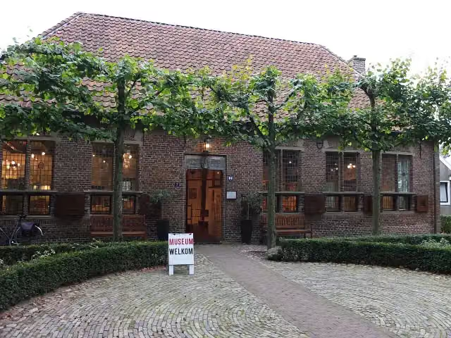
0 kmAt the start: Schultehuis and Oermuseum.
1.2 km · 25 benches

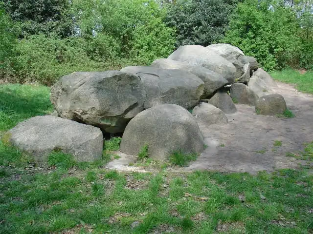
Hunebed D52 Diever
1.2 kmArchaeological site
19 km · 26 benches
Water point
20.2 km1.7 km · 5 benches
Bosbergtoren
21.9 kmObservation tower
516 m · 7 benches
Water point
22.4 km934 m · 4 benches
Finish
23.3 km
No public toilet along the wayThere is no public toilet within 100 m of the route. Go before you start, or find one a bit further away in the app.
The route with the pitstops and sights within 100 m of it.
4 sights along the way
In the order you pass them. With the Outdoor Pitstop app you hear their story on the spot.
i
Photo: Pa3ems · Wikimedia Commons · CC BY-SA 3.0View the photo on Wikimedia CommonsCastle · after 0 m
i
Photo: Drenthe007 · Wikimedia Commons · CC BY-SA 3.0View the photo on Wikimedia CommonsMuseum · after 0 m
- Story
Hunebed D52 Diever
Archaeological site · after 1.2 km

Observation tower · after 21.9 km
Elevation and terrain
- Up
- ↑ 6 m
- Down
- ↓ 7 m
- Highest point
- 14 m
- Lowest point
- 8 m
Nowhere steeper than 5%.
Elevation from AHN (Rijkswaterstaat), smoothed.
Way types
23.3 km in total- Track: 11.9 km
- Path: 5.7 km
- Footpath: 1.7 km
- Cycleway: 1.5 km
- Road: 1.3 km
- Street: 1.1 km
- Busy road: 109 m
Surfaces
23.3 km in total- Natural: 6.8 km
- Paved: 3.3 km
- Unpaved: 1.6 km
- Asphalt: 750 m
- Gravel: 425 m
- Unknown: 10.3 km
About the walking route Drenthepad - 4
Updated on 5 November 2026, with data from OpenStreetMap and the AHN.
Where do you walk?
Drenthepad - 4 is a walking route of 23.3 km that starts in Westerveld. It does not end where it starts. You start in Diever and finish in Appelscha. Along the way you pass Schultehuis (after 0 m), Oermuseum (after 0 m) and Hunebed D52 Diever (after 1.2 km).
How hard is the route?
The route is almost flat. You climb 6 m in total and descend 7 m. Allow ± 5:10 h, without breaks. The level is hard.
What paths do you walk on?
The longest part is track (11.9 km), path (5.7 km) and footpath (1.7 km). Of the surface, 6.8 km natural and 3.3 km paved. For 10.3 km the surface is not known.
Pitstops along the way
Within 100 metres of the route there are 71 benches and picnic tables and 2 water fountains and refill points. You can fill your bottle after 20.2 km and after 22.4 km. There is no public toilet within 100 metres of the route. The Outdoor Pitstop app navigates you there.
Part of Drenthepad (Drenthe Trail)
Website of the routeWalks nearby
6Sights nearby
Within 10 km of the route, best known first.
- 1
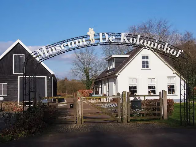 Museum De ProefkolonieMuseum · 7.3 km from the route
- 2
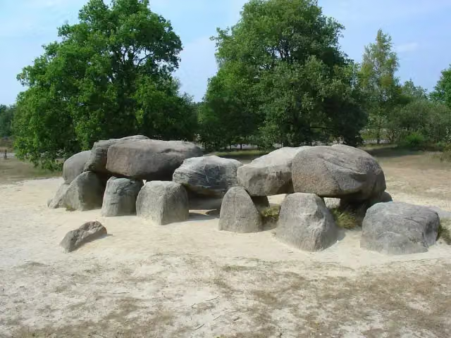 Hunebed D54 HavelterbergArchaeological site · 9.5 km from the route
- 3
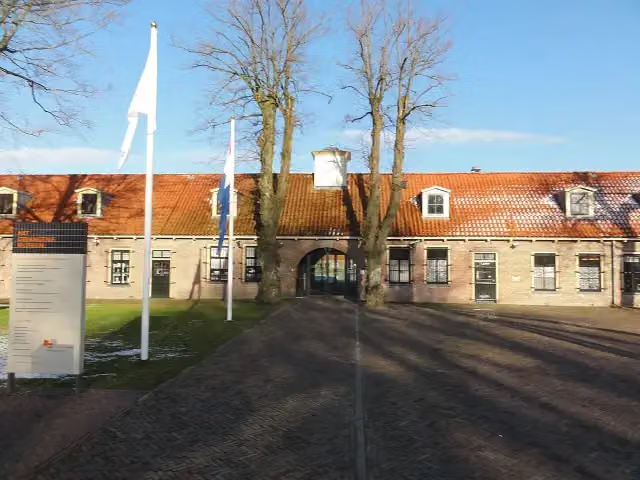 GevangenismuseumMuseum · 9.8 km from the route
- 4
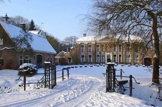 OldengaerdeCastle · 4.1 km from the route
- 5
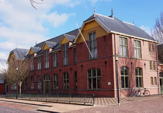 Nationaal VlechtmuseumMuseum · 9.5 km from the route
- 6
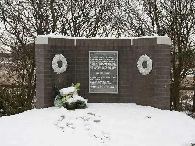 Monument DoldersumMemorial · 1.6 km from the route
- 7
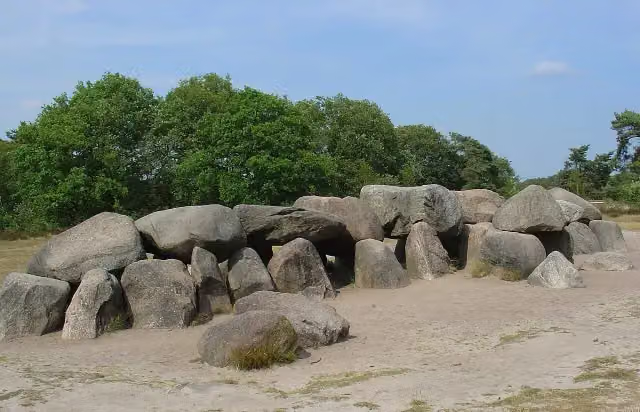 Hunebed D53 HavelterbergArchaeological site · 9.6 km from the route
- 8
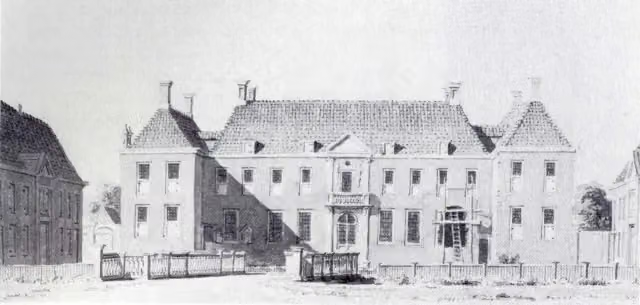 Havezathe BatingheCastle · 3 km from the route
- 9
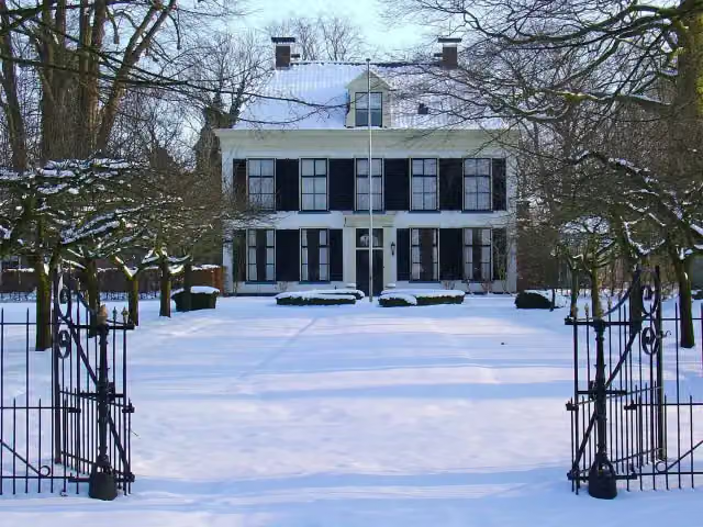 WestrupCastle · 3.4 km from the route
- 10
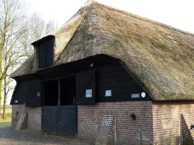 Schaapskooi RuinenAttraction · 9 km from the route
- 11
 Bezoekerscentrum DwingelderveldAttraction · 9 km from the route
- 12WittelterbergArchaeological site · 2.9 km from the route
- 13Museum Valse KunstMuseum · 5.2 km from the route
- 14UitkijktorenObservation tower · 2.9 km from the route
- 15CompagnonsbossenObservation tower · 3.4 km from the route
- 16Uitkijktoren "De Zeven"Observation tower · 4.5 km from the route
- 17Observation towerObservation tower · 7.1 km from the route
- 18Observation towerObservation tower · 7.6 km from the route
- 19Vogelkijkhut DiependalObservation tower · 7.7 km from the route
- 20UitkijktorenObservation tower · 8.1 km from the route
- 21Benderse BergViewpoint · 8.3 km from the route
- 22De Rode PannenMuseum · 9.9 km from the route
Explore more
Frequently asked questions
How long is Drenthepad - 4?
Drenthepad - 4 is 23.3 km long. Allow ± 5:10 h of walking: 4.5 km an hour and 10 minutes more per 100 metres of climbing, without breaks.
Is this route a circular walk?
No, the route runs from Diever to Appelscha.
Where does this route start?
The route starts in Westerveld.
How hard is this route?
Hard, with 6 m of climbing.
Are there toilets along this route?
No, there is no public toilet within 100 m of the route. Go before you start.
Can you fill up with water along this route?
Yes, there are 2 water fountains and refill points within 100 m of the route.
What is there to see along this route?
Along the way you pass Schultehuis, Oermuseum and Hunebed D52 Diever.
Starting point
More routes from this place
Route data © OpenStreetMap contributors





