 Outdoor Pitstop
Walking route · Villingen-Schwenningen · Updated on 14 November 2026
Neckarweg walk
Neckarweg is a walk of 462 km from Villingen-Schwenningen. Along the way you'll find 2,521 benches, 37 water fountains and refill points, 97 public toilets, 34 bike pumps and 3 honesty boxes and farm vending machines.
i
i
i
The route step by step
From start to finish, with what you pass along the way and the distance in between.
- 462 km
- From A to B
- National route
Pick a stage to see the pitstops per kilometre. Along the way you'll find 2,521 benches, 37 water fountains and refill points, 97 public toilets, 34 bike pumps and 3 honesty boxes and farm vending machines.
Follow these steps in the appThe route with the water points, toilets and sights within 100 m of it.
61 sights along the way
In the order you pass them. With the Outdoor Pitstop app you hear their story on the spot. 53 more along the route are on the map.
i
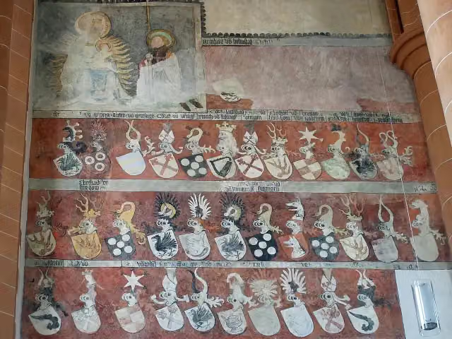
Photo: Photo: Andreas Praefcke · Wikimedia Commons · CC BY 3.0View the photo on Wikimedia CommonsMuseum
i
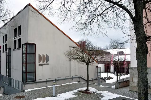
Photo: Stefan Karl · Wikimedia Commons · CC BY-SA 3.0View the photo on Wikimedia CommonsCastle
i
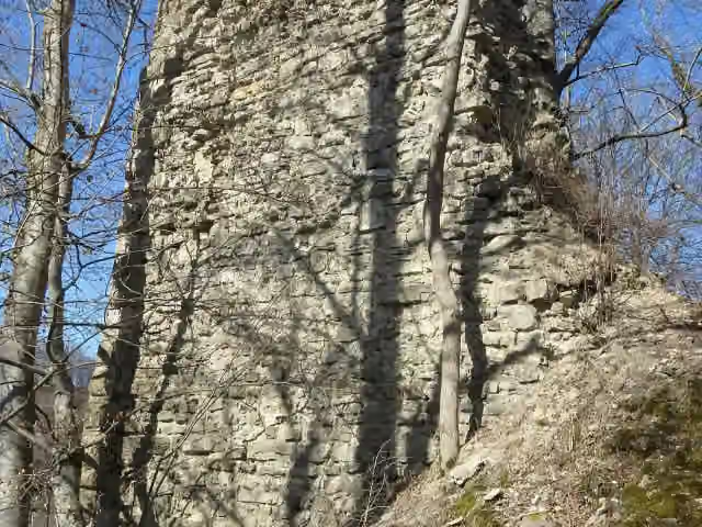
Photo: Harke · Wikimedia Commons · CC BY-SA 3.0View the photo on Wikimedia CommonsCastle
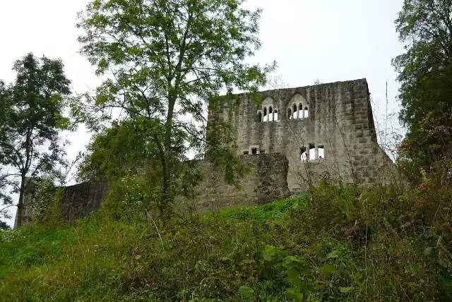
i
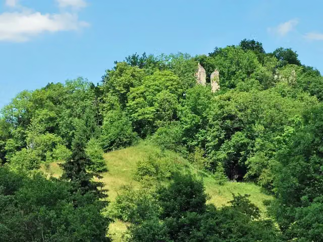
Photo: Afr66 · Wikimedia Commons · CC BY-SA 3.0View the photo on Wikimedia CommonsRuins

Museum
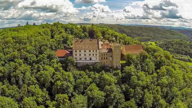
i
Photo: Draufsichtfpv · Wikimedia Commons · CC BY-SA 4.0View the photo on Wikimedia CommonsCastle
Castle
Museum
Stages (8)
- 1Neckarweg Abschnitt 1: Schwenningen - Oberndorf52 km
- 2Neckarweg Abschnitt 2: Oberndorf - Tübingen70.3 km
- 3Neckarweg Abschnitt 3: Tübingen - Plochingen48.9 km
- 4Neckarweg Abschnitt 4: Plochingen - Neckarrems45.6 km
- 5Neckarweg Abschnitt 5: Neckarrems - Lauffen47.8 km
- 6Neckarweg Abschnitt 6: Lauffen - Bad Wimpfen41.5 km
- 7Neckarsteig126.5 km
- 8Neckarweg Abschnitt 8: Heidelberg - Mannheim29.3 km
About the walking route Neckarweg
Updated on 14 November 2026, with data from OpenStreetMap, the AHN and Copernicus.
Where do you walk?
Neckarweg is a walking route of 462 km that starts in Villingen-Schwenningen. It does not end where it starts.
Pitstops along the way
Within 100 metres of the route there are 2,521 benches, 37 water fountains and refill points, 97 public toilets, 34 bike pumps and 3 honesty boxes and farm vending machines. The Outdoor Pitstop app navigates you there.
Walks nearby
6- Linker NeckarrandwegHard · From A to B84 km
- Odenwaldklub HW 44, Wiesloch - Steinsfurt - Bad WimpfenHard · From A to B53.7 km
- Neckarsteig Teilstrecke Bad Wimpfen - NeckargerachHard · From A to B40.5 km
- Jakobsweg Rothenburg - Speyer (3)Hard · From A to B69.4 km
- Kulturwanderweg Jagst - Etappe 1Moderate · From A to B12.4 km
- Odenwaldklub HW 31, Amorbach - Mülben - Bad RappenauHard · From A to B69.9 km
Sights nearby
Within 10 km of the route, best known first.
- 1
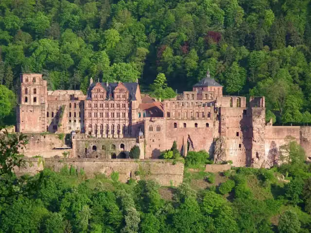 Heidelberg CastleAttraction · 131 m from the route
- 2
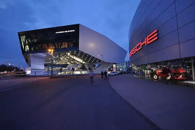 Porsche MuseumMuseum · 3.5 km from the route
- 3
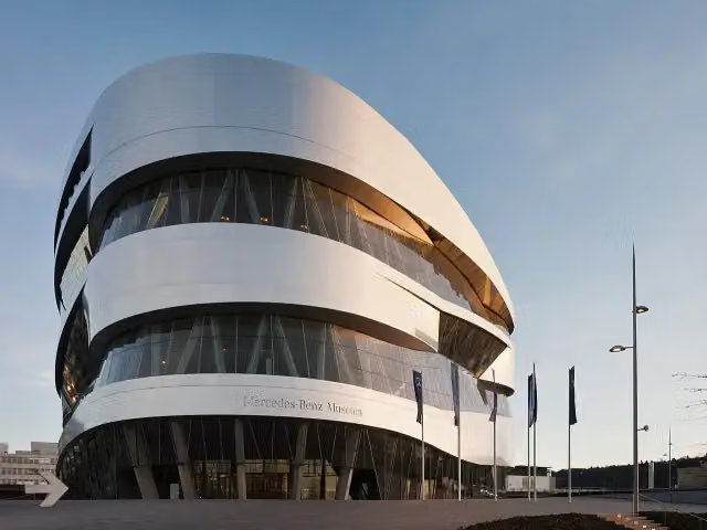 Mercedes-Benz MuseumMuseum · 2 km from the route
- 4
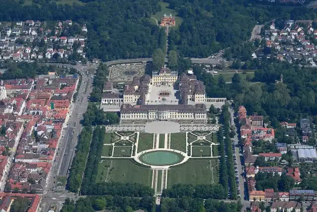 Schloss LudwigsburgAttraction · 1.8 km from the route
- 5
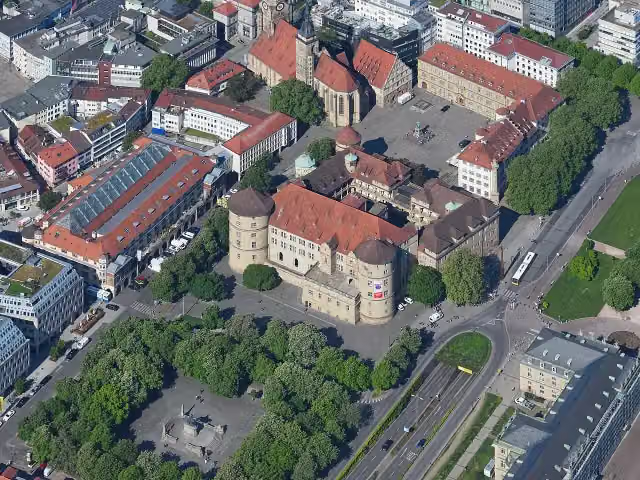 Altes SchlossCastle · 5.6 km from the route
- 6
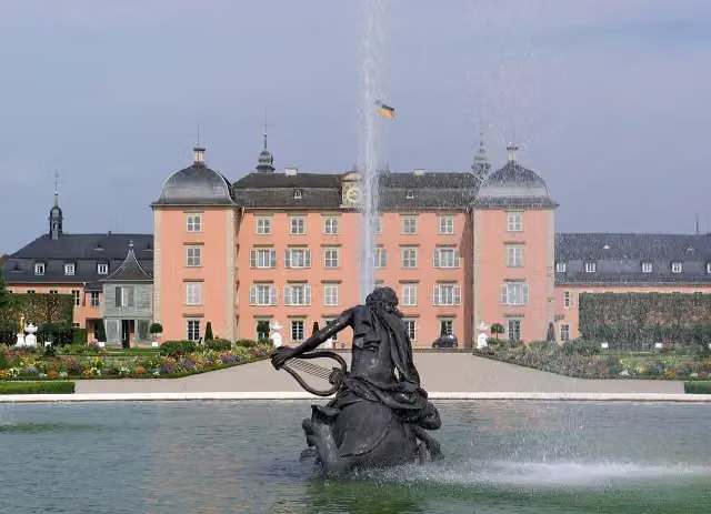 Schloss SchwetzingenCastle · 7.3 km from the route
- 7
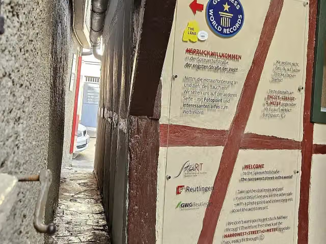 SpreuerhofstraßeAttraction · 6.8 km from the route
- 8
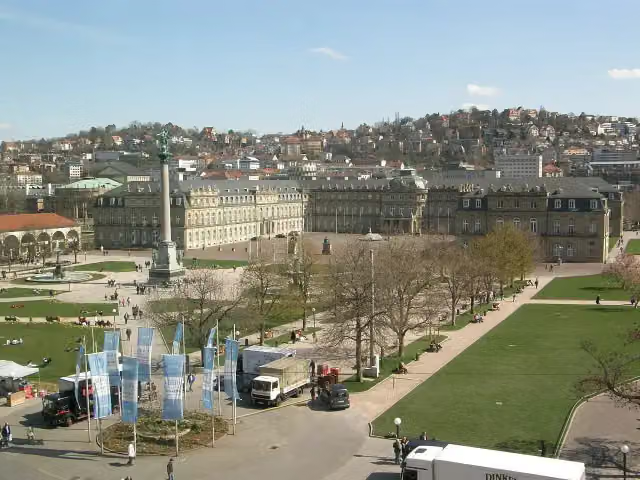 Neues SchlossCastle · 5.4 km from the route
- 9
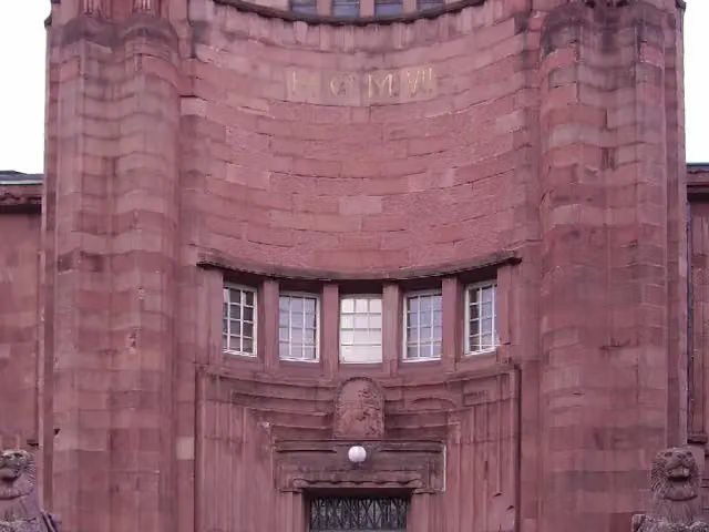 Kunsthalle MannheimMuseum · 971 m from the route
- 10
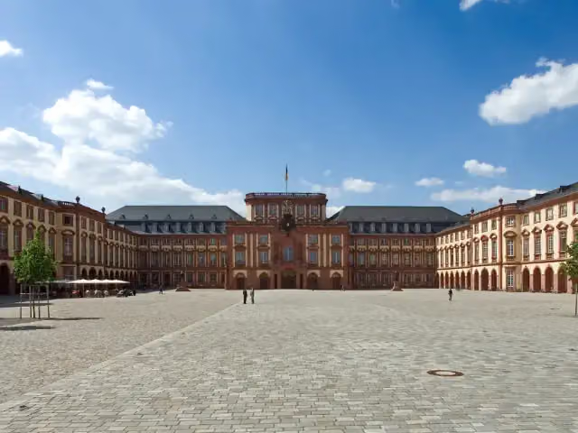 Schloss MannheimAttraction · 1.3 km from the route
- 11
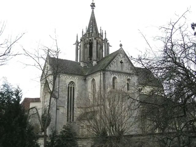 Kloster BebenhausenMuseum · 4.3 km from the route
- 12
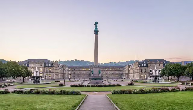 SchlossplatzAttraction · 5.5 km from the route
- 13
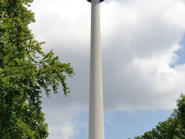 Fernsehturm StuttgartAttraction · 5.8 km from the route
- 14
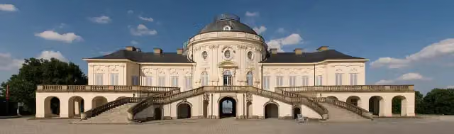 Schloss SolitudeAttraction · 9.9 km from the route
- 15
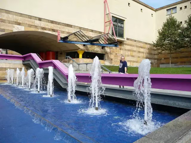 StaatsgalerieMuseum · 4.9 km from the route
- 16
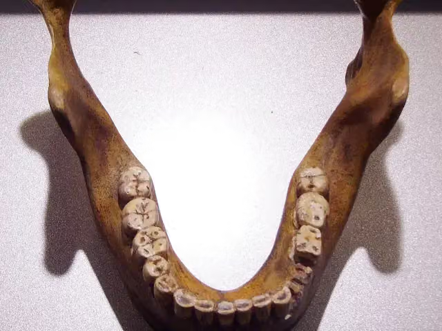 Fundstelle Homo heidelbergensisArchaeological site · 4.4 km from the route
- 17
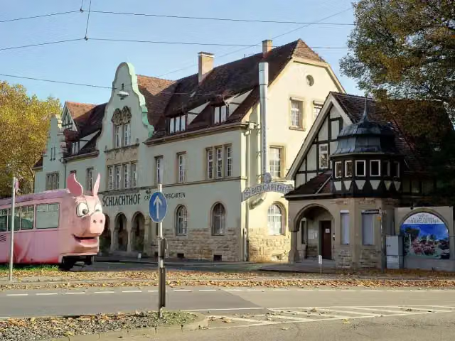 SchweinemuseumMuseum · 2.9 km from the route
- 18
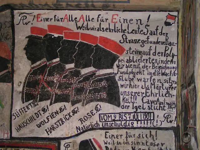 Historischer StudentenkarzerMuseum · 315 m from the route
- 19
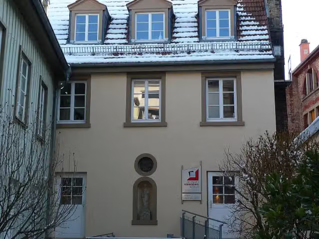 Deutsches VerpackungsmuseumMuseum · 408 m from the route
- 20
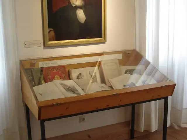 Berthold-Auerbach-MuseumMuseum · 812 m from the route
- 21
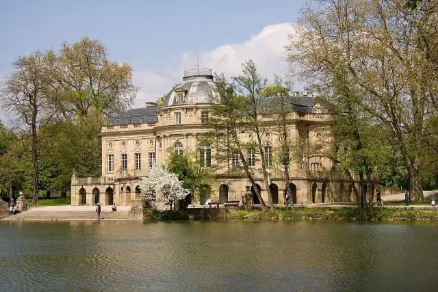 Monrepos CastleAttraction · 2.8 km from the route
- 22
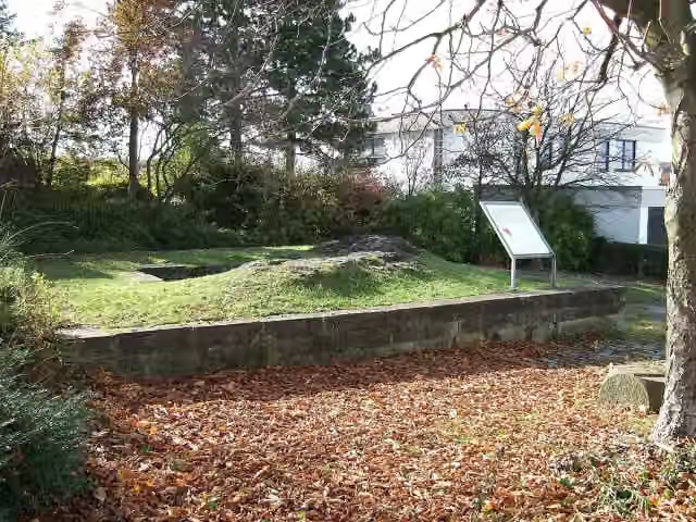 Burg FrauenbergCastle · 4.5 km from the route
- 23
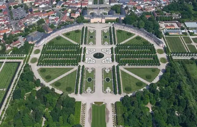 Schwetzingen Palace GardensAttraction · 7.7 km from the route
- 24
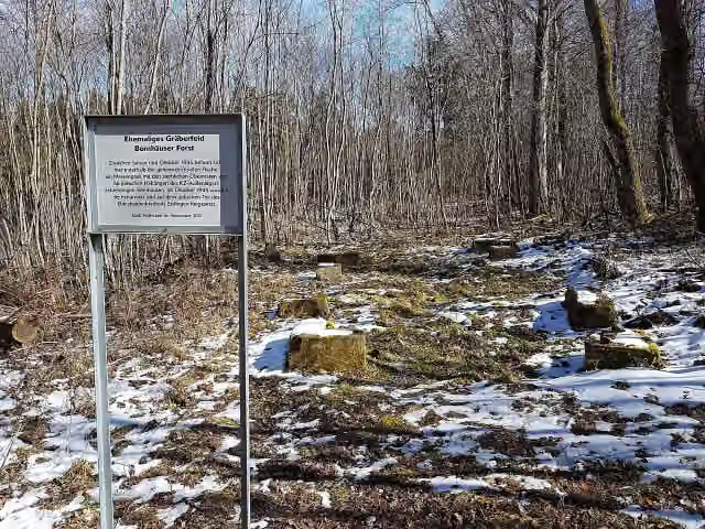 Ehemaliges Gräberfeld, Bernhäuser ForstMemorial · 8.2 km from the route
- 25
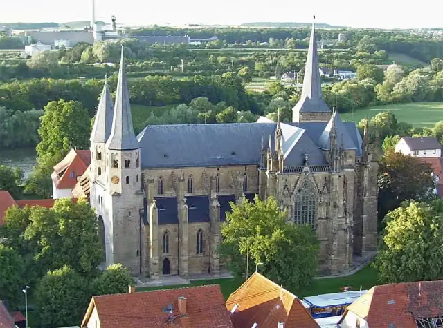 Stiftskirche St. PeterAttraction · 88 m from the route
Explore more
More walks around Villingen-Schwenningen
Frequently asked questions
How long is Neckarweg?
Neckarweg is 462 km long, split into several parts and stages.
Is this route a circular walk?
No, the route starts and ends at different spots.
Where does this route start?
The route starts in Villingen-Schwenningen.
Are there toilets along this route?
Yes, there are 97 public toilets within 100 m of the route.
Can you fill up with water along this route?
Yes, there are 37 water fountains and refill points within 100 m of the route.
What is there to see along this route?
Along the way you pass Dominikanermuseum, Burgruine Hohenstein and Ruine Neckarburg.
Can I download this route as a GPX file?
Yes. Sign in with your Outdoor Pitstop account and choose Download GPX at the top of this page: 10 routes a month for free, unlimited with Pro.
Starting point
More routes from this place
Route data © OpenStreetMap contributors





