 Outdoor Pitstop
Walking route · Bad Wimpfen · Updated on 14 November 2026
Neckarsteig walk
Neckarsteig is a walk of 126.5 km from Bad Wimpfen. Along the way you'll find 577 benches, 15 water fountains and refill points, 25 public toilets and 4 bike pumps.
i
i
i
The route step by step
From start to finish, with what you pass along the way and the distance in between.
- 126.5 km
- ± 11:10 h per stage
- ↑ 3,173 m · ↓ 3,124 m
- Hard per stage
- From A to B
- Regional route
Start in Bad Wimpfen
0 kmAt the start: public toilet and bike pump.
193 m · 18 benches
Public toilet
193 m168 m · 10 benches

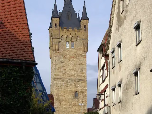
Blauer Turm
361 mPublic toilet
1.5 km · 27 benches
Public toilet
1.9 km3 km · 14 benches
2 public toilets
4.8 km6.1 km · 16 benches
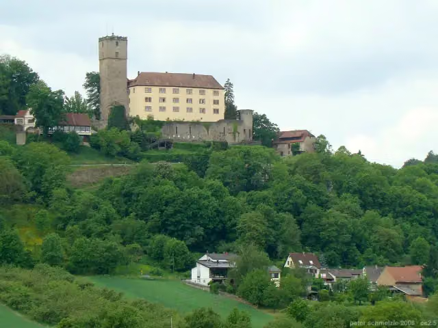
Burg Guttenberg
10.9 km2 public toilets
3.5 km · 6 benches
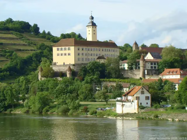
Schloss Horneck and 1 more
14.4 kmSiebenbürgisches Museum
5.4 km · 15 benches
Burg Hornberg
19.8 kmAttraction
1.9 km · 9 benches
Mahnmal
21.7 kmMemorial
5.5 km · 19 benches
Stadtmuseum
27.2 kmPublic toilet
299 m · 10 benches
Loretto-Denkmal
27.5 kmBike pump
11.2 km · 30 benches
Margarethenschlucht
38.7 kmAttraction
2.3 km · 34 benches
2 public toilets
41 km7.2 km · 12 benches
Public toilet
48.2 km3.2 km · 6 benches
Minneburg
51.3 kmCastle
936 m · bench
Water point
52.3 km11.1 km · 10 benches
Burg Stolzeneck
63.4 kmCastle
12.7 km · 9 benches
Bike pump
76.1 km263 m · 12 benches
2 water fountains and refill points
76.4 km225 m · 23 benches
Public toilet and 2 water fountains and refill points
76.6 km11.8 km · 37 benches
Observation tower and 1 more
88.4 kmBurg Hirschhorn
286 m · 11 benches
Public toilet and 2 water fountains and refill points
88.7 km395 m · 15 benches
2 public toilets
89.1 km6.5 km · 30 benches
Public toilet
95.6 km6.8 km · 11 benches
Water point
102.4 km1.8 km · 7 benches
Hinterburg
104.2 kmCastle
910 m · 25 benches
Public toilet and bike pump
105.1 km2.3 km · 24 benches
Burg Dilsberg
107.4 km3 public toilets
6.7 km · 52 benches
3 water fountains and refill points
114.2 km154 m · 2 benches
Stadttor
114.3 kmPublic toilet and water point
Show the other 5 steps
2 km · 13 benches
Public toilet
116.4 km5.6 km · 9 benches
Water point
122 km553 m · 5 benches
Water point
122.6 km2.6 km · 11 benches
Public toilet and water point
125.2 km1.3 km · 37 benches
Finish
126.5 kmAt the finish: Elisabethentor and public toilet.
Longest stretch without a toilet: 28.5 kmBetween 48.2 km and 76.6 km there is no public toilet within 100 m of the route.
The route with the water points, toilets and sights within 100 m of it.
17 sights along the way
In the order you pass them. With the Outdoor Pitstop app you hear their story on the spot. 9 more along the route are on the map.
i
Photo: Berthold Werner · Wikimedia Commons · CC BY-SA 3.0View the photo on Wikimedia CommonsViewpoint · after 361 m
i
Photo: p.schmelzle · Wikimedia Commons · CC BY-SA 3.0View the photo on Wikimedia CommonsMuseum · after 10.9 km
i
Photo: peter schmelzle · Wikimedia Commons · CC BY-SA 3.0View the photo on Wikimedia CommonsAttraction · after 14.4 km
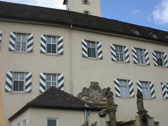
i
Photo: p.schmelzle · Wikimedia Commons · CC BY-SA 2.5View the photo on Wikimedia CommonsMuseum · after 14.4 km
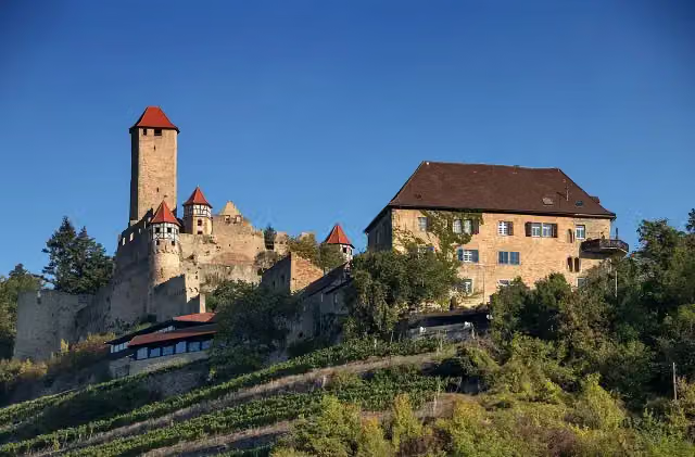
i
Photo: Derzno · Wikimedia Commons · CC BY-SA 4.0View the photo on Wikimedia CommonsAttraction · after 19.8 km
i
Photo: "Ökumenisches Jugendprojekt Mahnmal" · Wikimedia Commons · CC BY-SA 3.0 deView the photo on Wikimedia CommonsMemorial · after 21.7 km

Museum · after 27.2 km
Memorial · after 27.6 km
Stages (3)
Elevation and terrain
- Up
- ↑ 3,173 m
- Down
- ↓ 3,124 m
- Highest point
- 573 m
- Lowest point
- 115 m
- 5-10% slope · 32.5 km
- 10-15% slope · 11.7 km
- 15-20% slope · 5.8 km
- 20% slope or steeper · 940 m
- 46 stairs
Elevation from Copernicus GLO-30 (European Union and ESA), smoothed.
produced using Copernicus WorldDEM-30 © DLR e.V. 2010-2014 and © Airbus Defence and Space GmbH 2014-2018 provided under COPERNICUS by the European Union and ESA; all rights reserved
Way types
126.5 km in total- Track: 78.1 km
- Path: 28.6 km
- Street: 7.6 km
- Road: 3.9 km
- Stairs: 46 stairs
- Footpath: 3.1 km
- Busy road: 1 km
Surfaces
126.5 km in total- Gravel: 52.1 km
- Unpaved: 32.6 km
- Asphalt: 14.5 km
- Natural: 6.3 km
- Paved: 6.2 km
- Unknown: 14.2 km
About the walking route Neckarsteig
Updated on 14 November 2026, with data from OpenStreetMap, the AHN and Copernicus.
Where do you walk?
Neckarsteig is a walking route of 126.5 km that starts in Bad Wimpfen. It does not end where it starts. You start in Bad Wimpfen and finish in Heidelberg. Along the way you pass Blauer Turm (after 361 m), Burg Guttenberg (after 10.9 km) and Schloss Horneck (after 14.4 km).
How hard is the route?
You climb 3,173 m in total and descend 3,124 m. There are 46 flights of steps along the way. Allow ± 11:10 h per stage, without breaks. Per stage the level is hard.
What paths do you walk on?
The longest part is track (78.1 km), path (28.6 km) and street (7.6 km). Of the surface, 52.1 km gravel and 32.6 km unpaved. For 14.2 km the surface is not known.
Pitstops along the way
Within 100 metres of the route there are 577 benches, 15 water fountains and refill points, 25 public toilets and 4 bike pumps. The longest stretch without a toilet is 28.5 km. The Outdoor Pitstop app navigates you there.
The Neckarsteig is a long-distance trail of about 127 km in the Odenwald above the Neckar, between Bad Wimpfen and Heidelberg, and part of the Neckarweg. It runs via Gundelsheim, Mosbach, Eberbach, Hirschhorn, Neckarsteinach and Neckargemünd and crosses the Neckar several times. Castles along the way include Guttenberg, Hornberg, Hirschhorn and Dilsberg. You find drinking water at 15 places and toilets at 25. Nearly two thirds is on forest and farm tracks, a quarter on footpaths. The trail is looked after by the Odenwaldklub.
Source: Wikipedia (CC BY-SA)
Part of Neckarweg
Website of the routeWalks nearby
6- Linker NeckarrandwegHard · From A to B84 km
- Odenwaldklub HW 44, Wiesloch - Steinsfurt - Bad WimpfenHard · From A to B53.7 km
- Jakobsweg Rothenburg - Speyer (3)Hard · From A to B69.4 km
- Neckarweg Abschnitt 6: Lauffen - Bad WimpfenHard · From A to B41.5 km
- Kulturwanderweg Jagst - Etappe 1Moderate · From A to B12.4 km
- Odenwaldklub HW 31, Amorbach - Mülben - Bad RappenauHard · From A to B69.9 km
Sights nearby
Within 10 km of the route, best known first.
- 1
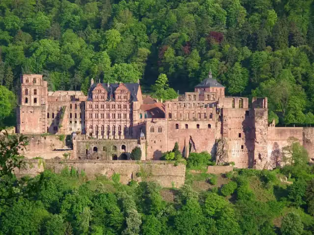 Heidelberg CastleAttraction · 131 m from the route
- 2
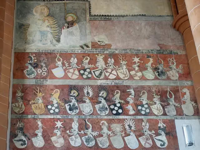 Church of the Holy SpiritAttraction · 428 m from the route
- 3
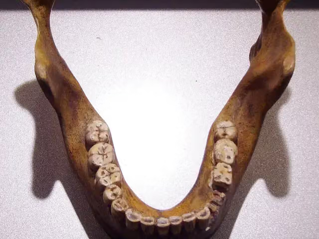 Fundstelle Homo heidelbergensisArchaeological site · 4.4 km from the route
- 4
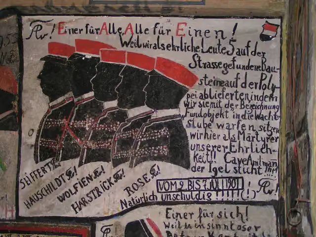 Historischer StudentenkarzerMuseum · 575 m from the route
- 5
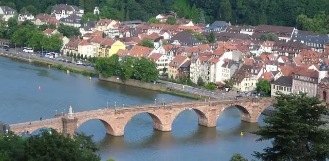 Alte BrückeAttraction · 625 m from the route
- 6
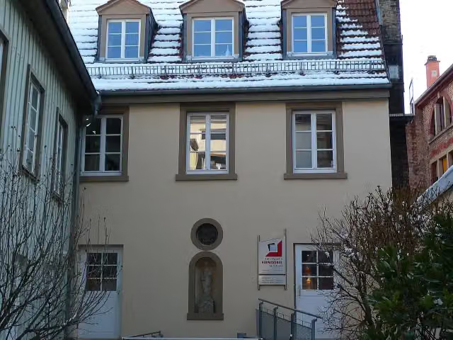 Deutsches VerpackungsmuseumMuseum · 1.3 km from the route
- 7
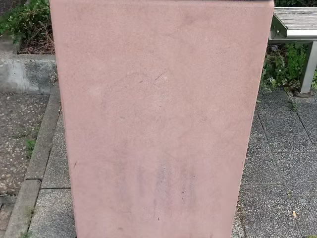 MemorialMemorial · 121 m from the route
- 8
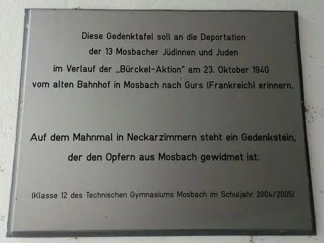 MemorialMemorial · 128 m from the route
- 9
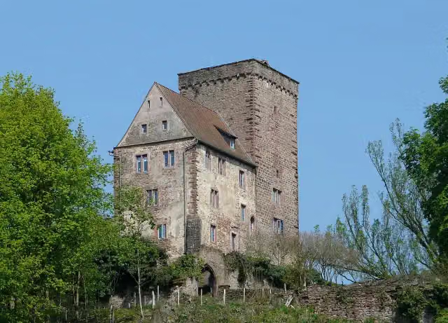 VorderburgCastle · 134 m from the route
- 10
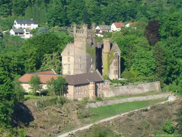 MittelburgCastle · 137 m from the route
- 11
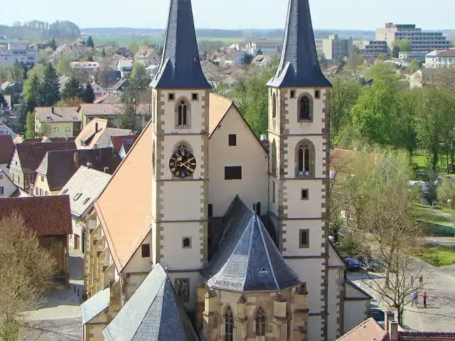 StadtkircheAttraction · 145 m from the route
- 12
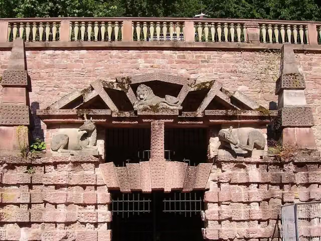 Große GrotteAttraction · 151 m from the route
- 13
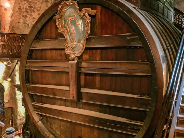 Großes FassAttraction · 187 m from the route
- 14
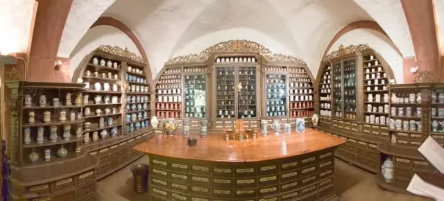 Deutsches Apotheken-MuseumMuseum · 195 m from the route
- 15
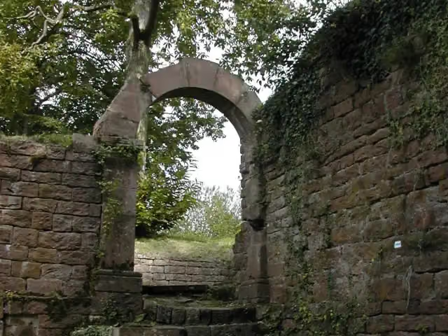 Burg ReichensteinCastle · 203 m from the route
- 16
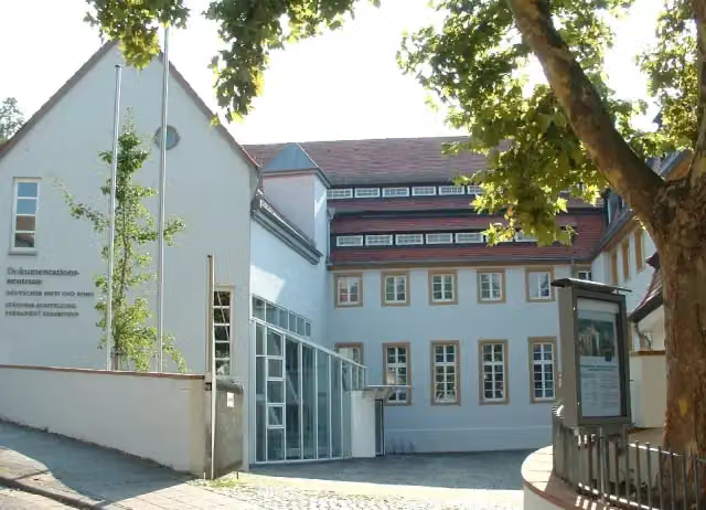 Dokumentations- und Kulturzentrum Deutscher Sinti und RomaMuseum · 261 m from the route
- 17
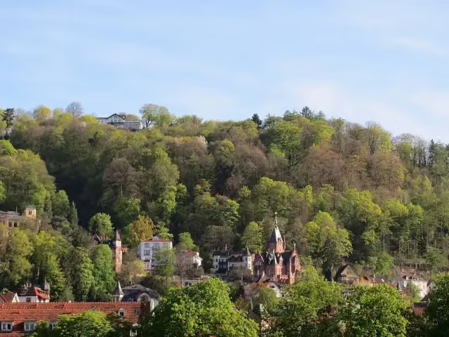 Obere BurgArchaeological site · 272 m from the route
- 18
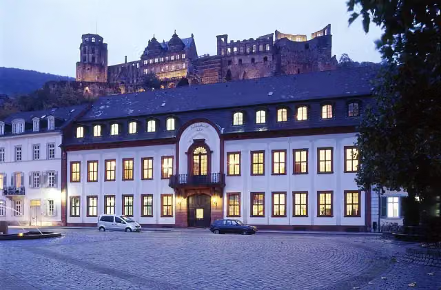 Großherzogliches PalaisCastle · 295 m from the route
- 19
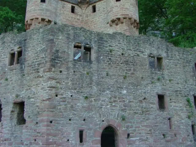 SchwalbennestCastle · 347 m from the route
- 20
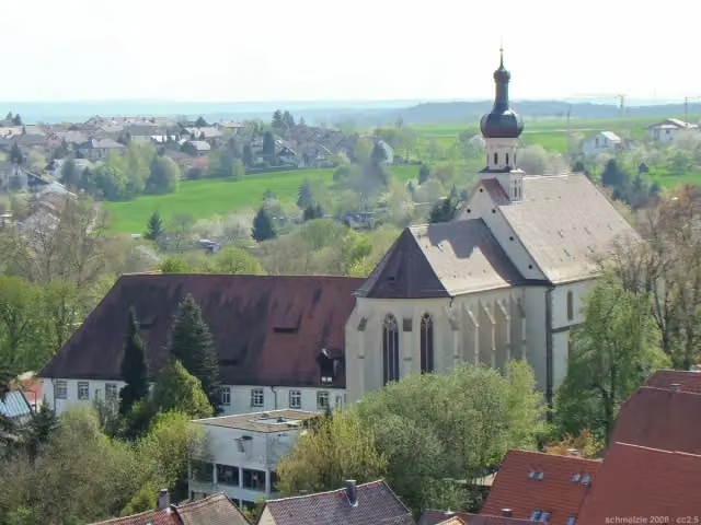 Heilig KreuzAttraction · 382 m from the route
- 21
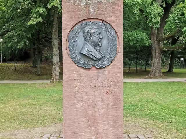 Joseph Victor von ScheffelMemorial · 404 m from the route
- 22
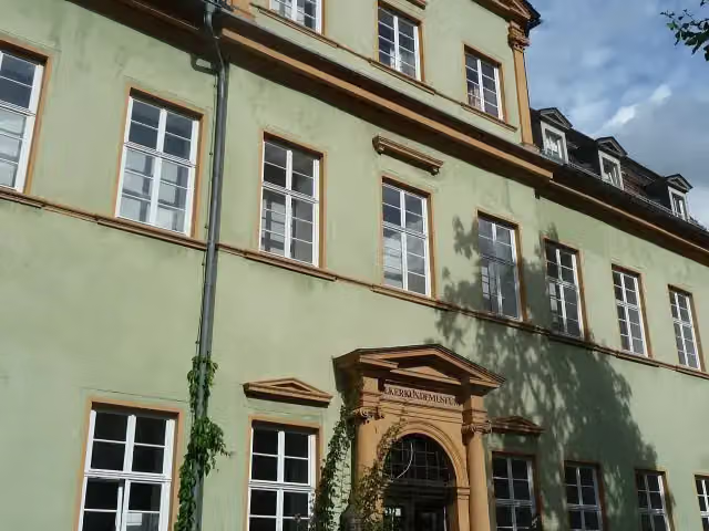 VölkerkundemuseumMuseum · 448 m from the route
- 23
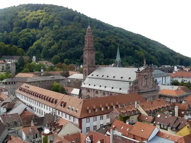 JesuitenkircheAttraction · 468 m from the route
- 24
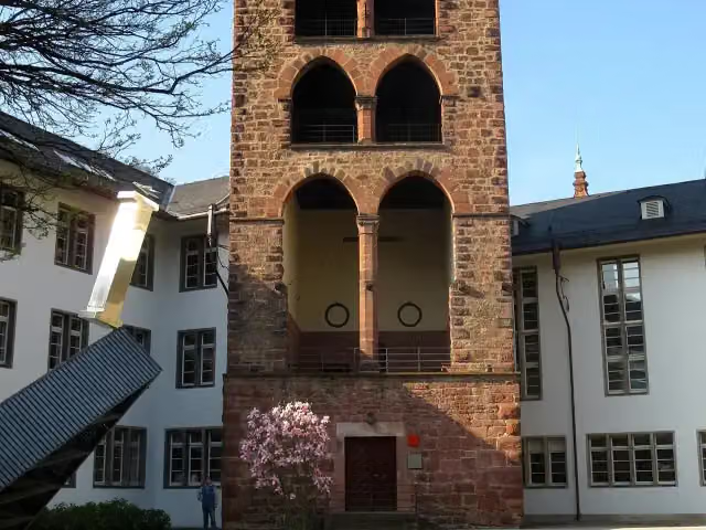 HexenturmAttraction · 514 m from the route
- 25
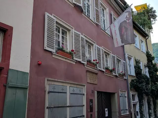 Reichspräsident-Friedrich-Ebert-GedenkstätteMuseum · 527 m from the route
Explore more
More walks around Bad Wimpfen
Frequently asked questions
How long is Neckarsteig?
Neckarsteig is 126.5 km long, in 3 parts of 42.2 km on average. Allow ± 11:10 h per part of walking: 4.5 km an hour and 10 minutes more per 100 metres of climbing, without breaks.
Is this route a circular walk?
No, the route runs from Bad Wimpfen to Heidelberg.
Where does this route start?
The route starts in Bad Wimpfen.
How hard is this route?
Hard per stage, with 1,058 m per stage of climbing.
Are there toilets along this route?
Yes, there are 25 public toilets within 100 m of the route. The longest stretch without a toilet is 28.5 km.
Can you fill up with water along this route?
Yes, there are 15 water fountains and refill points within 100 m of the route.
What is there to see along this route?
Along the way you pass Blauer Turm, Burg Guttenberg and Schloss Horneck.
Can I download this route as a GPX file?
Yes. Sign in with your Outdoor Pitstop account and choose Download GPX at the top of this page: 10 routes a month for free, unlimited with Pro.
Starting point
More routes from this place
Route data © OpenStreetMap contributors





