 Outdoor Pitstop
Walking route · Heidelberg · Updated on 14 November 2026
Linker Neckarrandweg walk
Linker Neckarrandweg is a walk of 84 km from Heidelberg. Along the way you'll find 275 benches, 8 water fountains and refill points, 12 public toilets and 2 bike pumps.
i
i
i
The route step by step
From start to finish, with what you pass along the way and the distance in between.
- 84 km
- ± 22:00 h
- ↑ 1,996 m · ↓ 1,944 m
- Hard
- From A to B
- Regional route
Start in Heidelberg
0 kmAt the start: Dulger-Brunnen and public toilet.
244 m · 11 benches

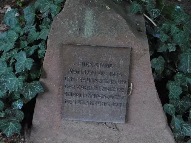
Maulbeerbaum
244 mPublic toilet
2.9 km · 33 benches
Public toilet
3.2 km2.1 km · 10 benches
Water point
5.2 km9.8 km · 22 benches
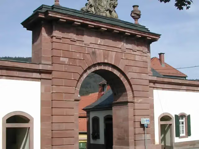
Stadttor
15.1 kmPublic toilet and 2 water fountains and refill points
18.5 km · 45 benches
2 water fountains and refill points
33.5 km4.5 km · 16 benches
Water point
38.1 km3.7 km · bench
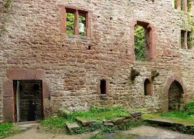
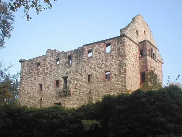
Burg Stolzeneck
41.8 kmCastle
6.5 km · 2 benches
Water point
48.3 km938 m · bench
Minneburg
49.2 kmCastle
1.9 km · 7 benches
Bike pump
51.1 km6 km · 2 benches
Water point
57.1 km5.2 km · bench
Schloss Neuburg
62.2 kmCastle
1 km · 4 benches
Burg Landsehr
63.3 kmCastle
3.5 km · 2 benches
Schloss Hochhausen
66.8 kmCastle
9.1 km · 12 benches
Burg Guttenberg
75.8 km2 public toilets
3.4 km · 13 benches
2 public toilets
79.3 km2.9 km · 14 benches
Public toilet
82.2 km1.5 km · 27 benches
Blauer Turm
83.6 kmPublic toilet
202 m · 10 benches
Public toilet
83.8 km194 m · 25 benches
Finish
84 kmAt the finish: public toilet and bike pump.
Longest stretch without a toilet: 60.8 kmBetween 15.1 km and 75.8 km there is no public toilet within 100 m of the route.
The route with the pitstops and sights within 100 m of it.
10 sights along the way
In the order you pass them. With the Outdoor Pitstop app you hear their story on the spot. 2 more along the route are on the map.
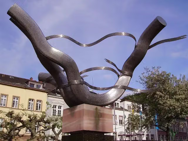
Memorial · after 26 m
i
Photo: Andy Mabbett · Wikimedia Commons · CC BY-SA 4.0View the photo on Wikimedia CommonsMemorial · after 244 m
Attraction · after 15.1 km
i
Photo: Hartmann Linge · Wikimedia Commons · CC BY-SA 4.0View the photo on Wikimedia CommonsCastle · after 41.8 km
i
Photo: p.schmelzle · Wikimedia Commons · CC BY-SA 3.0View the photo on Wikimedia CommonsCastle · after 49.2 km
i
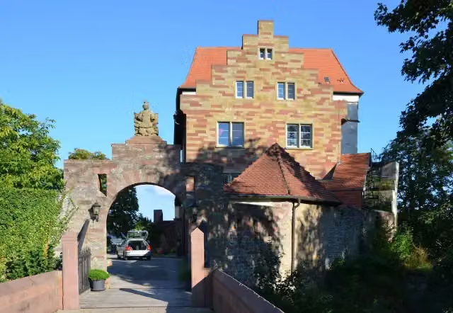
Photo: K. Jähne · Wikimedia Commons · CC BY-SA 3.0View the photo on Wikimedia CommonsCastle · after 62.2 km
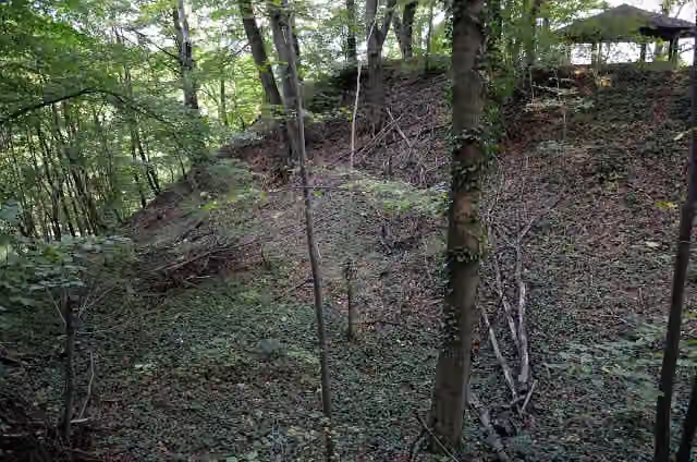
i
Photo: K. Jähne · Wikimedia Commons · CC BY-SA 3.0View the photo on Wikimedia CommonsCastle · after 63.3 km
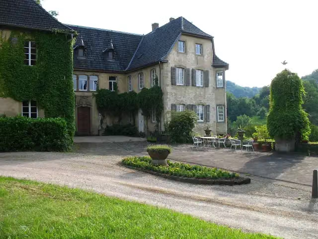
i
Photo: Graimhuegel · Wikimedia Commons · CC BY-SA 3.0View the photo on Wikimedia CommonsCastle · after 66.8 km
Elevation and terrain
- Up
- ↑ 1,996 m
- Down
- ↓ 1,944 m
- Highest point
- 383 m
- Lowest point
- 118 m
- 5-10% slope · 23.2 km
- 10-15% slope · 7.6 km
- 15-20% slope · 1.7 km
- 16 stairs
Elevation from Copernicus GLO-30 (European Union and ESA), smoothed.
produced using Copernicus WorldDEM-30 © DLR e.V. 2010-2014 and © Airbus Defence and Space GmbH 2014-2018 provided under COPERNICUS by the European Union and ESA; all rights reserved
Way types
84 km in total- Track: 57.6 km
- Path: 10.9 km
- Street: 9.8 km
- Road: 3.2 km
- Stairs: 16 stairs
- Busy road: 775 m
- Footpath: 423 m
Surfaces
84 km in total- Gravel: 38.4 km
- Asphalt: 19.2 km
- Unpaved: 8.2 km
- Paved: 1.8 km
- Natural: 875 m
- Unknown: 15.3 km
About the walking route Linker Neckarrandweg
Updated on 14 November 2026, with data from OpenStreetMap, the AHN and Copernicus.
Where do you walk?
Linker Neckarrandweg is a walking route of 84 km that starts in Heidelberg. It does not end where it starts. You start in Heidelberg and finish in Bad Wimpfen. Along the way you pass Dulger-Brunnen (after 26 m), Maulbeerbaum (after 244 m) and Stadttor (after 15.1 km).
How hard is the route?
You climb 1,996 m in total and descend 1,944 m. There are 16 flights of steps along the way. Allow ± 22:00 h, without breaks. The level is hard.
What paths do you walk on?
The longest part is track (57.6 km), path (10.9 km) and street (9.8 km). Of the surface, 38.4 km gravel and 19.2 km asphalt. For 15.3 km the surface is not known.
Pitstops along the way
Within 100 metres of the route there are 275 benches, 8 water fountains and refill points, 12 public toilets and 2 bike pumps. The longest stretch without a toilet is 60.8 km. The Outdoor Pitstop app navigates you there.
Walks nearby
6- Rechter NeckarrandwegHard · From A to B84.6 km
- Badischer Jakobusweg -nördlicher Teil-Hard · From A to B128.9 km
- Blütenweg Teilstück Schriesheim - WieslochHard · From A to B31 km
- Neckarweg Abschnitt 8: Heidelberg - MannheimHard · From A to B29.3 km
- Camino InclusoHard · From A to B79.4 km
- Odenwald-Vogesen-Weg Teil 1Hard · From A to B96.4 km
Sights nearby
Within 10 km of the route, best known first.
- 1
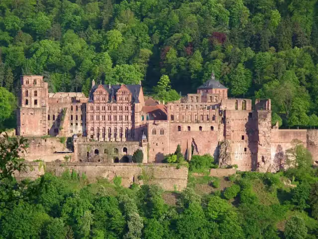 Heidelberg CastleAttraction · 311 m from the route
- 2
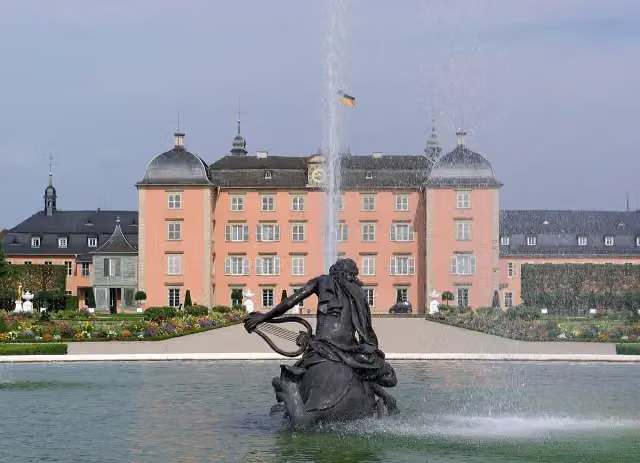 Schloss SchwetzingenCastle · 9.3 km from the route
- 3
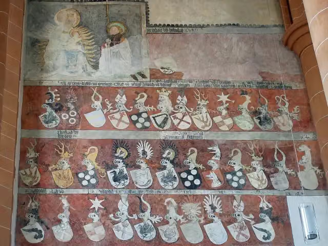 Church of the Holy SpiritAttraction · 683 m from the route
- 4
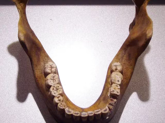 Fundstelle Homo heidelbergensisArchaeological site · 4.7 km from the route
- 5
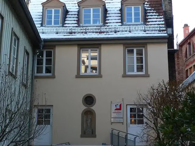 Deutsches VerpackungsmuseumMuseum · 154 m from the route
- 6
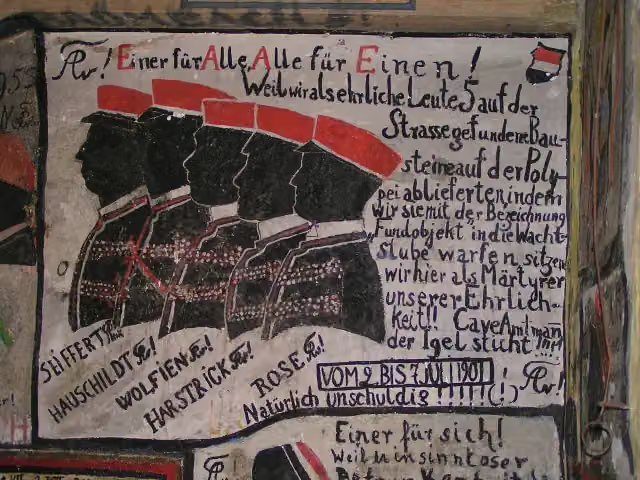 Historischer StudentenkarzerMuseum · 618 m from the route
- 7
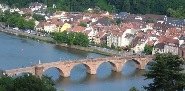 Alte BrückeAttraction · 889 m from the route
- 8
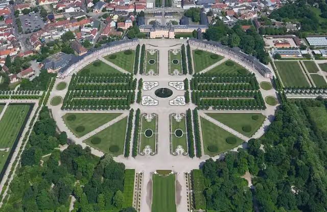 Schwetzingen Palace GardensAttraction · 9.8 km from the route
- 9
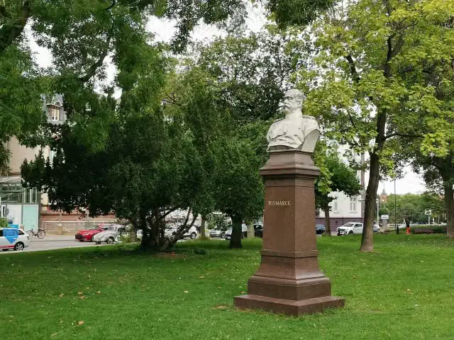 BismarckMemorial · 123 m from the route
- 10
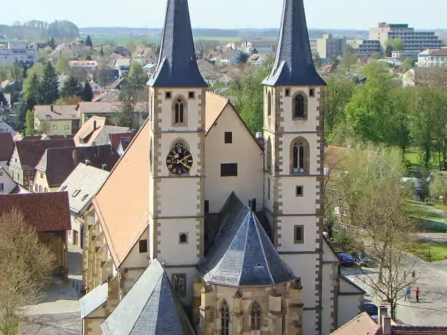 StadtkircheAttraction · 124 m from the route
- 11
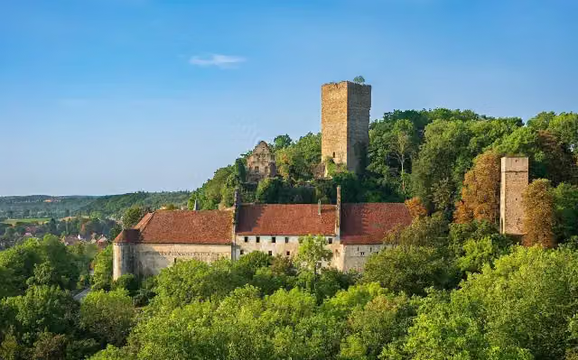 Burg EhrenbergCastle · 128 m from the route
- 12
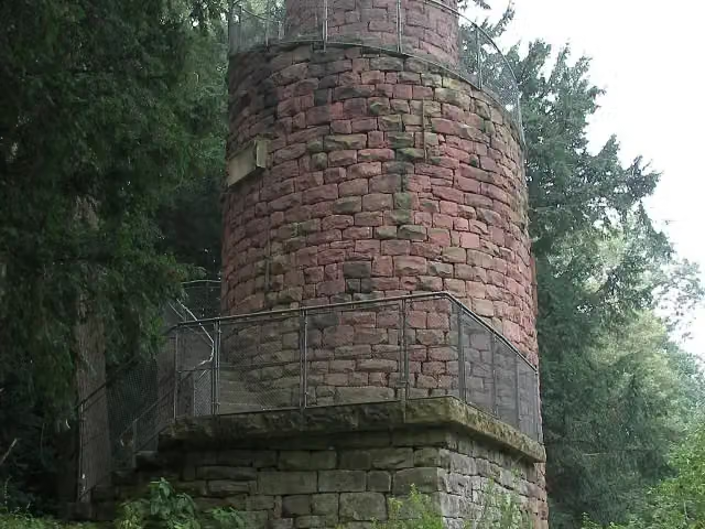 GaisbergturmObservation tower · 151 m from the route
- 13
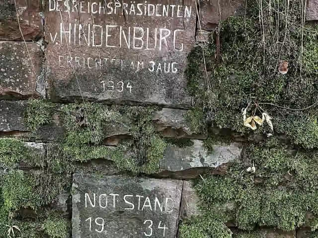 Reichspräsident von HindenburgMemorial · 160 m from the route
- 14
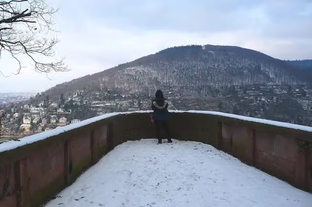 RiesensteinAttraction · 162 m from the route
- 15
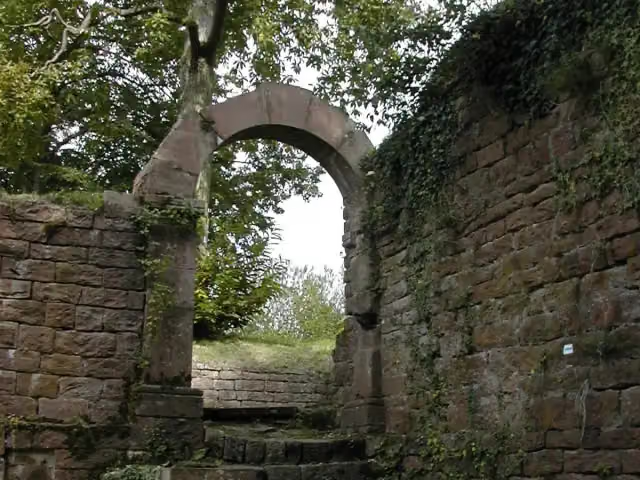 Burg ReichensteinCastle · 201 m from the route
- 16
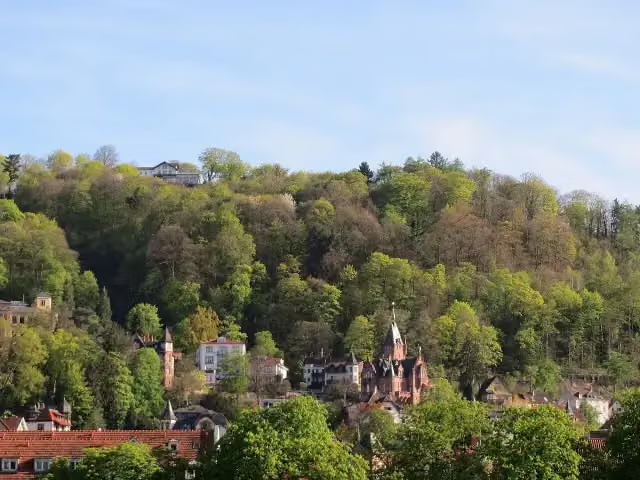 Obere BurgArchaeological site · 231 m from the route
- 17
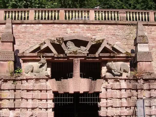 Große GrotteAttraction · 254 m from the route
- 18
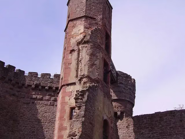 Burg DilsbergCastle · 255 m from the route
- 19
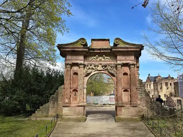 ElisabethentorAttraction · 276 m from the route
- 20
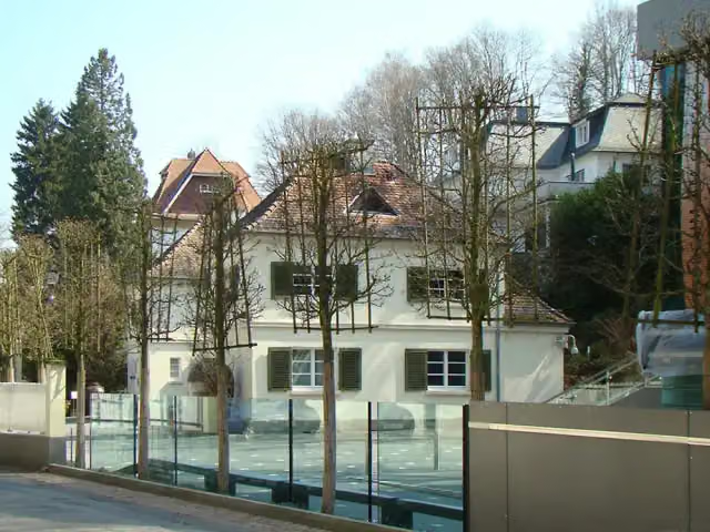 Carl Bosch MuseumMuseum · 295 m from the route
- 21
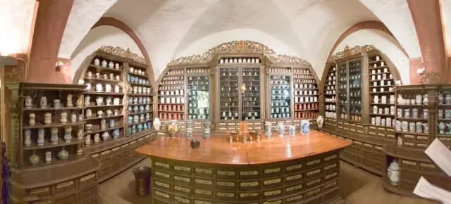 Deutsches Apotheken-MuseumMuseum · 350 m from the route
- 22
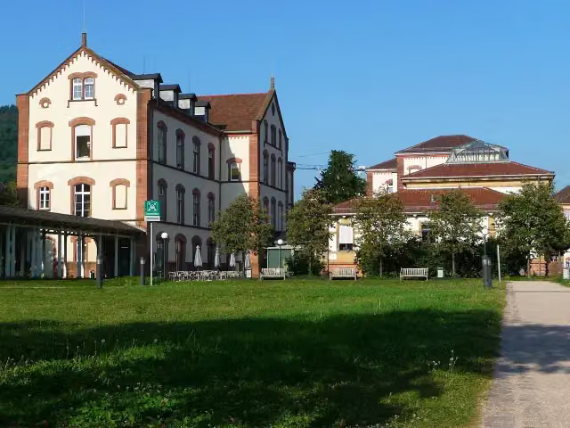 Sammlung PrinzhornMuseum · 353 m from the route
- 23
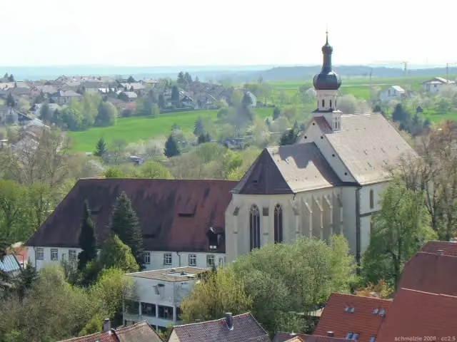 Heilig KreuzAttraction · 367 m from the route
- 24
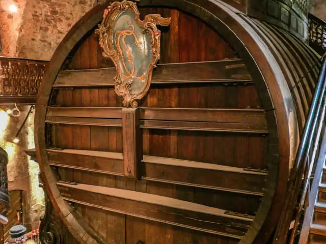 Großes FassAttraction · 385 m from the route
- 25
 KörperweltenMuseum · 389 m from the route
Explore more
More walks around Heidelberg
Frequently asked questions
How long is Linker Neckarrandweg?
Linker Neckarrandweg is 84 km long. Allow ± 22:00 h of walking: 4.5 km an hour and 10 minutes more per 100 metres of climbing, without breaks.
Is this route a circular walk?
No, the route runs from Heidelberg to Bad Wimpfen.
Where does this route start?
The route starts in Heidelberg.
How hard is this route?
Hard, with 1,996 m of climbing.
Are there toilets along this route?
Yes, there are 12 public toilets within 100 m of the route. The longest stretch without a toilet is 60.8 km.
Can you fill up with water along this route?
Yes, there are 8 water fountains and refill points within 100 m of the route.
What is there to see along this route?
Along the way you pass Dulger-Brunnen, Maulbeerbaum and Stadttor.
Can I download this route as a GPX file?
Yes. Sign in with your Outdoor Pitstop account and choose Download GPX at the top of this page: 10 routes a month for free, unlimited with Pro.
Starting point
More routes from this place
Route data © OpenStreetMap contributors





