 Outdoor Pitstop
Walking route · Rheinbrohl · Updated on 14 November 2026
Limeswanderweg walk
Limeswanderweg is a walk of 754.5 km from Rheinbrohl. Along the way you'll find 1,118 benches, 19 water fountains and refill points, 64 public toilets, 14 bike pumps and 1 honesty box.
i
i
i
The route step by step
From start to finish, with what you pass along the way and the distance in between.
- 754.5 km
- From A to B
- National route
Pick a stage to see the pitstops per kilometre. Along the way you'll find 1,118 benches, 19 water fountains and refill points, 64 public toilets, 14 bike pumps and 1 honesty box.
Follow these steps in the appThe route with the water points, toilets and sights within 100 m of it.
82 sights along the way
In the order you pass them. With the Outdoor Pitstop app you hear their story on the spot. 74 more along the route are on the map.

Observation tower
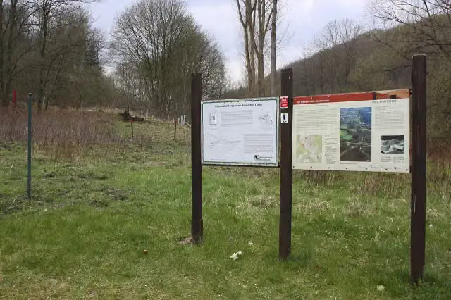
Archaeological site
i
Photo: Frila · Wikimedia Commons · CC BY-SA 3.0View the photo on Wikimedia CommonsRuins
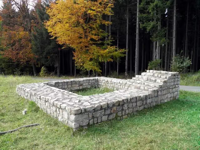
i
Photo: LigaDue · Wikimedia Commons · CC BY-SA 4.0View the photo on Wikimedia CommonsArchaeological site
i
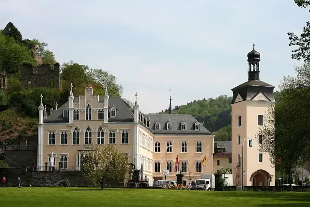
Photo: Lothar Spurzem · Wikimedia Commons · CC BY-SA 2.0 deView the photo on Wikimedia CommonsCastle
i
Photo: LigaDue · Wikimedia Commons · CC BY-SA 4.0View the photo on Wikimedia CommonsArchaeological site
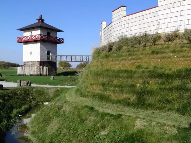
i
Photo: Carole Raddato from FRANKFURT, Germany · Wikimedia Commons · CC BY-SA 2.0View the photo on Wikimedia CommonsAttraction
i
Photo: Carole Raddato from FRANKFURT, Germany · Wikimedia Commons · CC BY-SA 2.0View the photo on Wikimedia CommonsMuseum
Stages (7)
About the walking route Limeswanderweg
Updated on 14 November 2026, with data from OpenStreetMap, the AHN and Copernicus.
Where do you walk?
Limeswanderweg is a walking route of 754.5 km that starts in Rheinbrohl. It does not end where it starts.
Pitstops along the way
Within 100 metres of the route there are 1,118 benches, 19 water fountains and refill points, 64 public toilets, 14 bike pumps and 1 honesty box. The Outdoor Pitstop app navigates you there.
Walks nearby
6- Rheinsteig Etappe 5 [Bad Hönningen - Leutesdorf]Hard · From A to B17 km
- Nord Süd Trail, Abschnitt Bad Honnef - LeutesdorfHard · From A to B47.9 km
- [R] Rheinhöhenweg [rrh. Lahnstein → Bonn Beuel]Hard · From A to B124.1 km
- Europäischer Fernwanderweg E8, Rheinland-PfalzHard · From A to B292.2 km
- Rheinhöhenweg Bonn - Koblenz (lrh. - Eifel)Hard · From A to B88.3 km
- Rheinburgenweg 3. Etappe Bad Breisig - AndernachHard · From A to B19.4 km
Sights nearby
Within 10 km of the route, best known first.
- 1
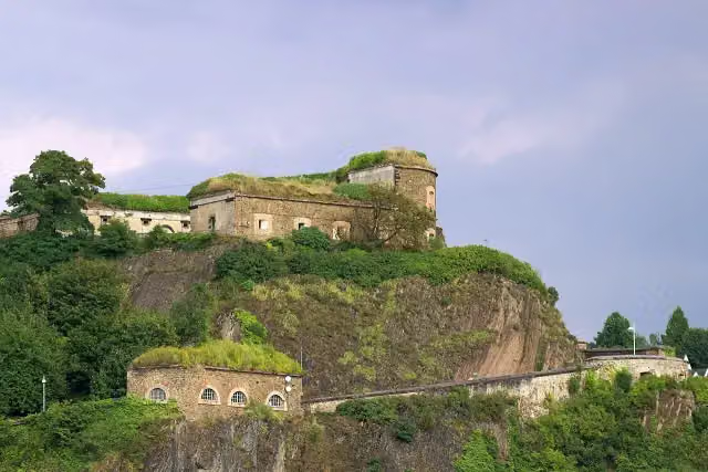 Ehrenbreitstein FortressCastle · 7.1 km from the route
- 2
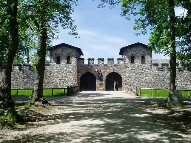 Römerkastell SaalburgMuseum · 130 m from the route
- 3
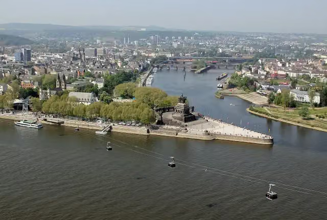 Deutsches EckViewpoint · 7.4 km from the route
- 4
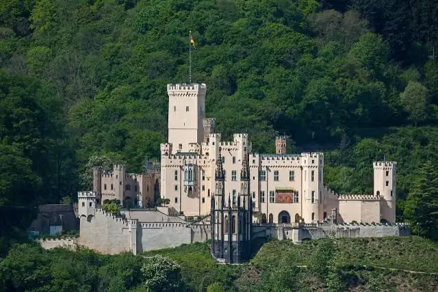 Schloss StolzenfelsCastle · 8.6 km from the route
- 5
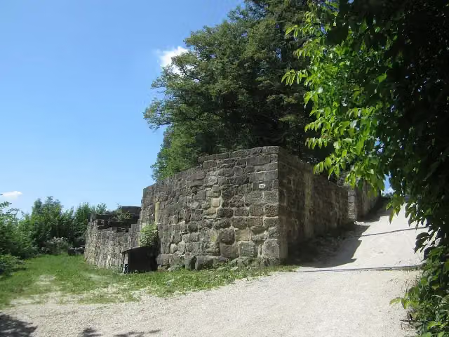 Burgruine HohenstaufenCastle · 6.2 km from the route
- 6
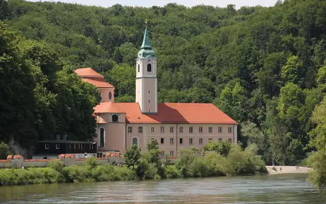 Kloster WeltenburgAttraction · 3.4 km from the route
- 7
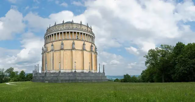 Hall of LiberationAttraction · 7 km from the route
- 8
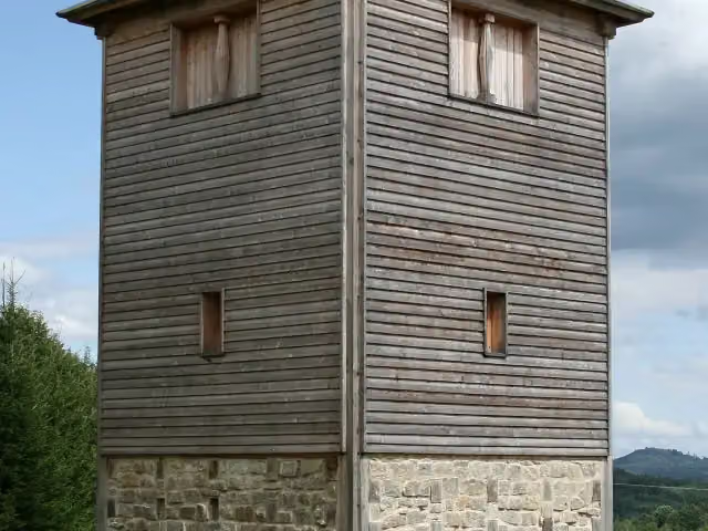 Römischer LimesAttraction · 153 m from the route
- 9
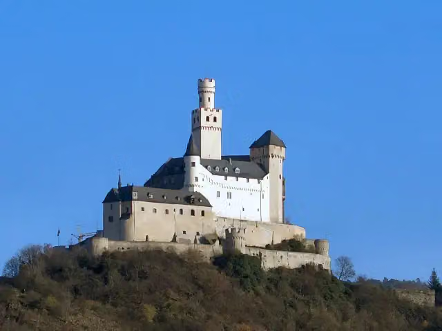 MarksburgMuseum · 5.6 km from the route
- 10
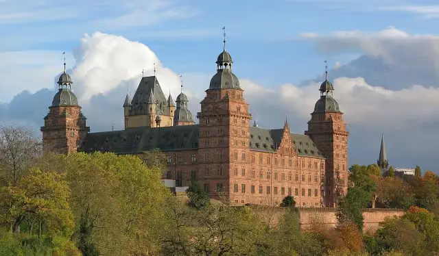 Schloss JohannisburgAttraction · 5.8 km from the route
- 11
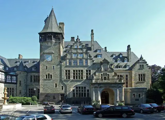 Schloss FriedrichshofCastle · 6.3 km from the route
- 12
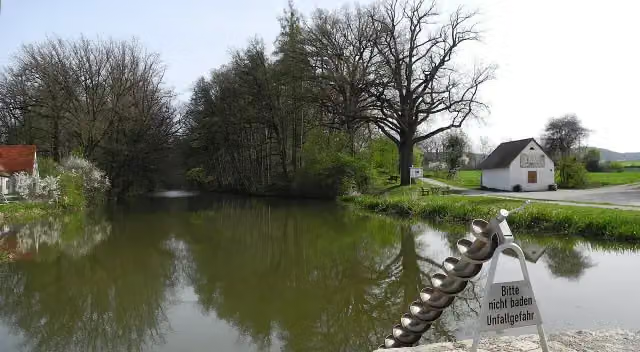 Fossa CarolinaAttraction · 8.7 km from the route
- 13
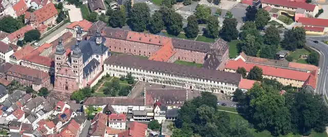 Abbey ChurchAttraction · 5.5 km from the route
- 14
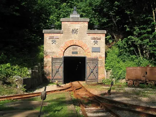 Mining museum (show mine)Museum · 4.3 km from the route
- 15
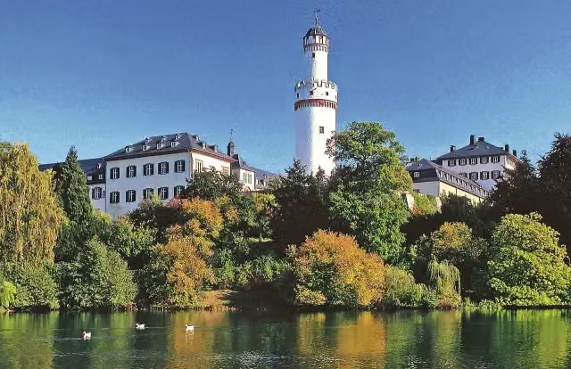 Bad Homburger SchlossCastle · 5.5 km from the route
- 16
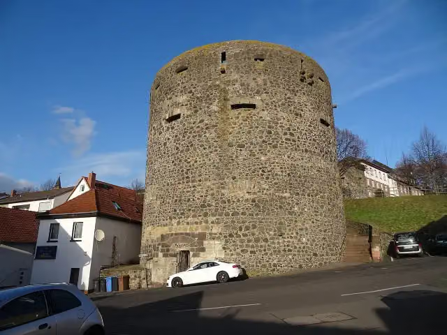 Dicker TurmRuins · 7.4 km from the route
- 17
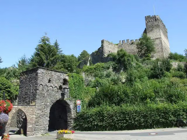 Altwied castle ruinsCastle · 1.1 km from the route
- 18
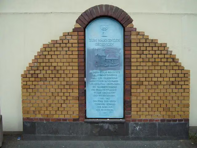 SynagogeMemorial · 3.5 km from the route
- 19
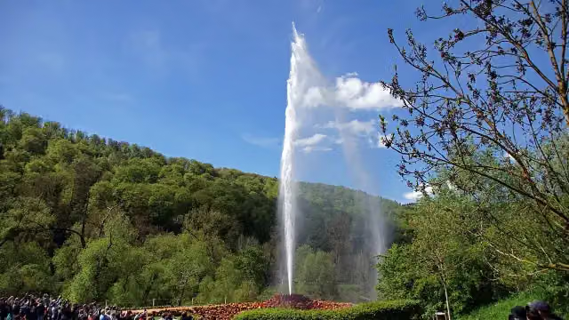 Andernach GeyserAttraction · 3.6 km from the route
- 20
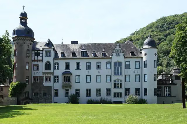 Namedy CastleAttraction · 4 km from the route
- 21
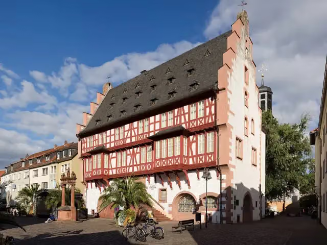 German Goldsmiths´ HouseMuseum · 4.8 km from the route
- 22
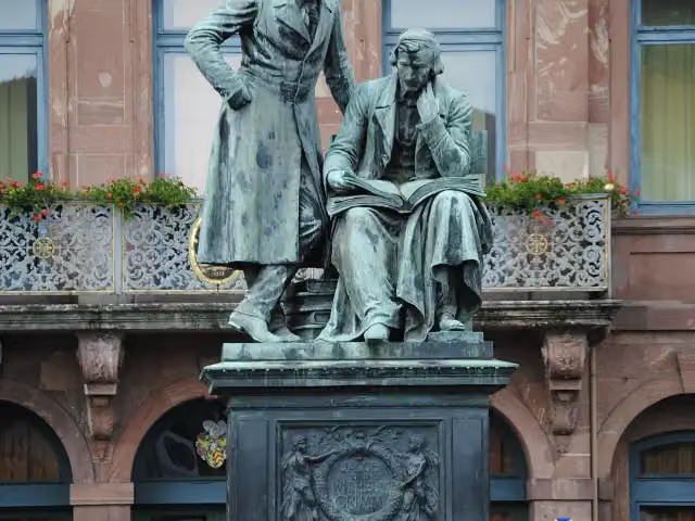 Brothers Grimm MemorialAttraction · 4.9 km from the route
- 23
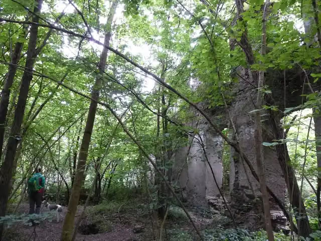 Klosterruine TönnissteinAttraction · 5.1 km from the route
- 24
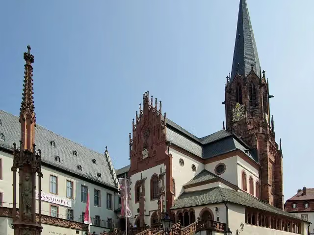 Collegiate Church of St Peter and St AlexanderAttraction · 6 km from the route
- 25
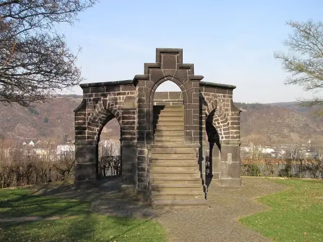 Royal ChairMonument · 7.4 km from the route
Explore more
More walks around Rheinbrohl
Frequently asked questions
How long is Limeswanderweg?
Limeswanderweg is 754.5 km long, split into several parts and stages.
Is this route a circular walk?
No, the route starts and ends at different spots.
Where does this route start?
The route starts in Rheinbrohl.
Are there toilets along this route?
Yes, there are 64 public toilets within 100 m of the route.
Can you fill up with water along this route?
Yes, there are 19 water fountains and refill points within 100 m of the route.
What is there to see along this route?
Along the way you pass Römerturm IX, Kleinkastell „Am Forsthofweg“ and Ruine Kreuzkirche.
Can I download this route as a GPX file?
Yes. Sign in with your Outdoor Pitstop account and choose Download GPX at the top of this page: 10 routes a month for free, unlimited with Pro.
Starting point
More routes from this place
Route data © OpenStreetMap contributors





