 Outdoor Pitstop
Walking route · Gunzenhausen · Updated on 14 November 2026
Limesweg walk
Limesweg is a walk of 117.3 km from Gunzenhausen. Along the way you'll find 105 benches, 3 water fountains and refill points, 12 public toilets and 3 bike pumps.
i
i
The route step by step
From start to finish, with what you pass along the way and the distance in between.
- 117.3 km
- ± 28:00 h
- ↑ 1,175 m · ↓ 1,237 m
- Hard
- From A to B
- Regional route
Start in Gunzenhausen
0 kmAt the start: public toilet.
260 m · 10 benches
4 public toilets
260 m152 m · 6 benches

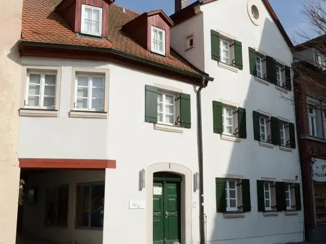
Archäologisches Museum Gunzenhausen
412 m2 public toilets and bike pump
680 m · bench
Water point
1.1 km1.5 km · 29 benches
Kleinkastell am Hinteren Schloßbuck
2.6 kmArchaeological site
20 km · 7 benches
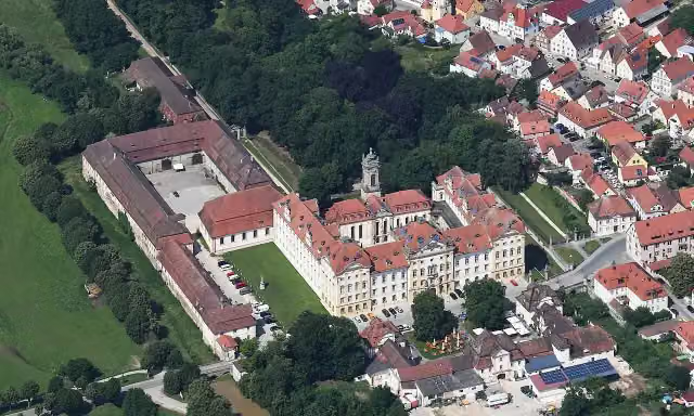
Schloss Ellingen and 1 more
22.6 kmSchloßstraße and bike pump
190 m · bench
Water point
22.8 km18.5 km · 10 benches
Kleinkastell Raitenbuch
41.3 kmArchaeological site
15.7 km · bench
Kleinkastell Biebig
57 kmArchaeological site
999 m
Kleinkastell Hegelohe
58 kmArchaeological site
10.6 km · 10 benches
Public toilet and bike pump
68.5 km271 m
Public toilet
68.8 km157 m
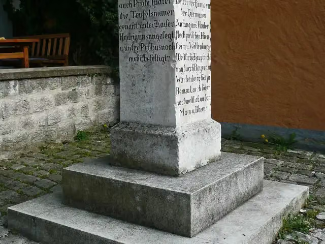
Limes-Gedenkstein
69 kmPublic toilet
371 m
Burg Kipfenberg and 1 more
69.3 kmRömer- und Bajuwaren-Museum
3.4 km · 5 benches
Limesbuche
72.8 kmAttraction
16.5 km · 8 benches
Schloss Sandersdorf
89.3 kmCastle
5.3 km · 9 benches
Ignaz-Günther-Museum and 1 more
94.6 kmKriegerdenkmal
11.3 km · bench
Kleinkastell Hienheim
105.9 kmArchaeological site
403 m
Roman watchtower WP 15/46
106.3 kmObservation tower
267 m
Hadriansäule
106.6 kmMemorial
215 m
Limes
106.8 kmArchaeological site
4.7 km · 4 benches
Public toilet and water point
111.5 km694 m
Public toilet
112.2 km188 m · bench
Römisches Kastell Abusina
112.4 kmArchaeological site
4.9 km · 2 benches
Finish
117.3 kmAt the finish: Römisches Museum für Kur- und Badewesen.
Longest stretch without a toilet: 68.1 kmBetween 468 m and 68.6 km there is no public toilet within 100 m of the route.
The route with the pitstops and sights within 100 m of it.
20 sights along the way
In the order you pass them. With the Outdoor Pitstop app you hear their story on the spot. 12 more along the route are on the map.
i
Photo: Tilman2007 · Wikimedia Commons · CC BY-SA 3.0View the photo on Wikimedia CommonsMuseum · after 451 m
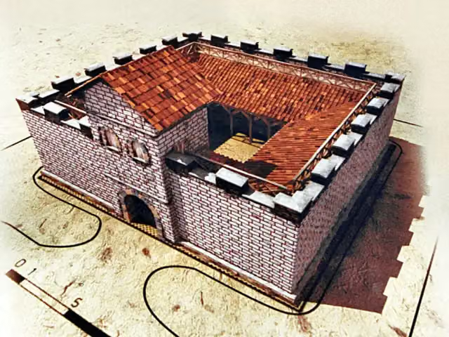
Archaeological site · after 2.6 km
i
Photo: Carsten Steger · Wikimedia Commons · CC BY-SA 4.0View the photo on Wikimedia CommonsCastle · after 22.6 km

Attraction · after 22.6 km
Archaeological site · after 41.3 km
Archaeological site · after 57 km
Archaeological site · after 58 km
i
Photo: Heinrich Stürzl · Wikimedia Commons · CC BY-SA 3.0View the photo on Wikimedia CommonsMemorial · after 69 km
Elevation and terrain
- Up
- ↑ 1,175 m
- Down
- ↓ 1,237 m
- Highest point
- 610 m
- Lowest point
- 346 m
- 5-10% slope · 7.7 km
- 10-15% slope · 1.8 km
- 2 stairs
Elevation from Copernicus GLO-30 (European Union and ESA), smoothed.
produced using Copernicus WorldDEM-30 © DLR e.V. 2010-2014 and © Airbus Defence and Space GmbH 2014-2018 provided under COPERNICUS by the European Union and ESA; all rights reserved
Way types
117.3 km in total- Track: 78.1 km
- Road: 13.9 km
- Path: 13.5 km
- Street: 8.4 km
- Busy road: 2.5 km
- Footpath: 419 m
- Stairs: 2 stairs
- Unknown: 125 m
Surfaces
117.3 km in total- Gravel: 34.2 km
- Asphalt: 25.6 km
- Natural: 12.7 km
- Unpaved: 12.2 km
- Paved: 6 km
- Unknown: 26.2 km
About the walking route Limesweg
Updated on 14 November 2026, with data from OpenStreetMap, the AHN and Copernicus.
Where do you walk?
Limesweg is a walking route of 117.3 km that starts in Gunzenhausen. It does not end where it starts. You start in Gunzenhausen and finish in Neustadt a.d. Donau. Along the way you pass Archäologisches Museum Gunzenhausen (after 451 m), Kleinkastell am Hinteren Schloßbuck (after 2.6 km) and Schloss Ellingen (after 22.6 km).
How hard is the route?
You climb 1,175 m in total and descend 1,237 m. There are 2 flights of steps along the way. Allow ± 28:00 h, without breaks. The level is hard.
What paths do you walk on?
The longest part is track (78.1 km), road (13.9 km) and path (13.5 km). Of the surface, 34.2 km gravel and 25.6 km asphalt. For 26.2 km the surface is not known.
Pitstops along the way
Within 100 metres of the route there are 105 benches, 3 water fountains and refill points, 12 public toilets and 3 bike pumps. You can fill your bottle after 1.1 km, after 22.8 km and after 111.5 km. The longest stretch without a toilet is 68.1 km. The Outdoor Pitstop app navigates you there.
Part of Limeswanderweg
Walks nearby
6- LimeswegHard · From A to B40.9 km
- Altmühl Panoramaweg Schlaufe 1 Teufelsmauer-WegModerate · Circular walk17.2 km
- Main-Donau-Weg (Querverbindung Feuchtwangen – Pappenheim)Hard · From A to B85.7 km
- Dr.-Fritz-Linnert-WegHard · From A to B136.7 km
- Jakobsweg Schwabach-OettingenHard · From A to B77.3 km
- Rangau-QuerwegHard · From A to B86.5 km
Sights nearby
Within 10 km of the route, best known first.
- 1
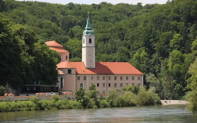 Kloster WeltenburgAttraction · 3.4 km from the route
- 2
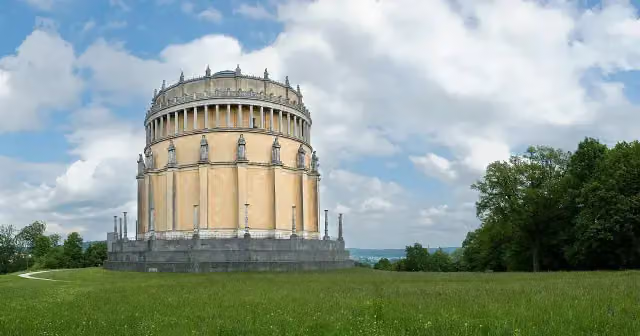 Hall of LiberationAttraction · 7 km from the route
- 3
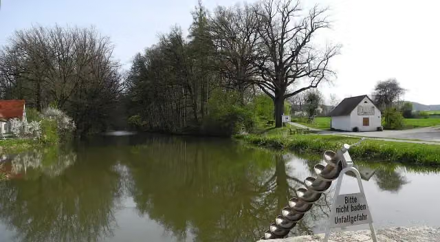 Fossa CarolinaAttraction · 8.7 km from the route
- 4
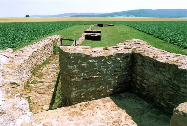 Kastell Ellingen - SablonetumArchaeological site · 101 m from the route
- 5
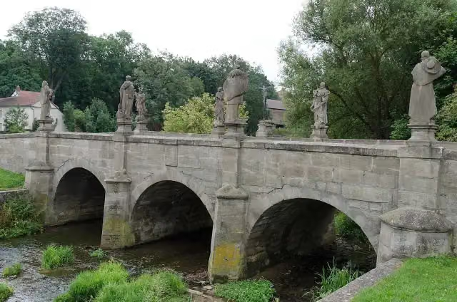 HeiligenbrückeAttraction · 130 m from the route
- 6
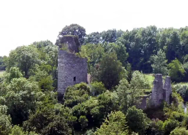 Burg AltmannsteinAttraction · 168 m from the route
- 7
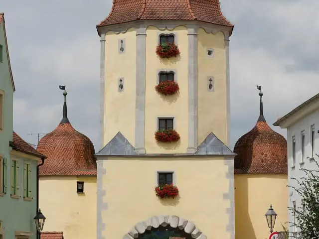 Spielzeugmuseum im Pleinfelder TorMuseum · 231 m from the route
- 8
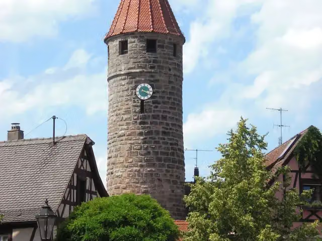 FärberturmAttraction · 284 m from the route
- 9
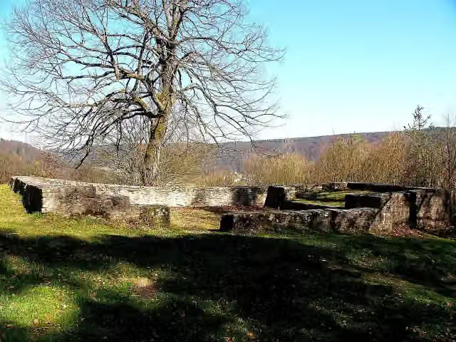 MichaelskapelleRuins · 427 m from the route
- 10
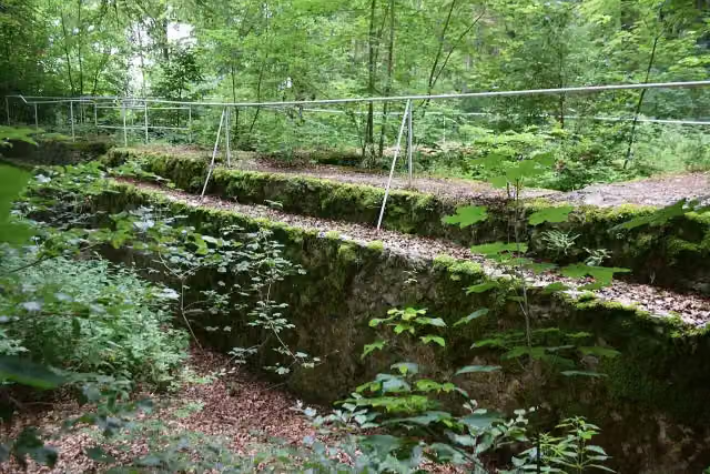 Burgruine MichelsbergCastle · 603 m from the route
- 11
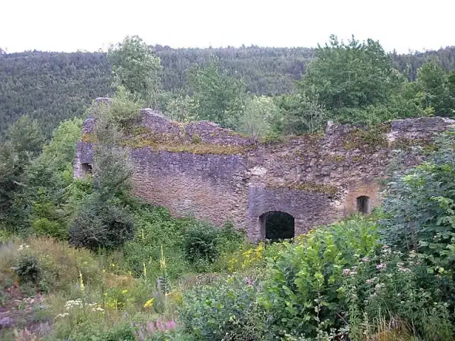 Burgruine BrunneckCastle · 892 m from the route
- 12
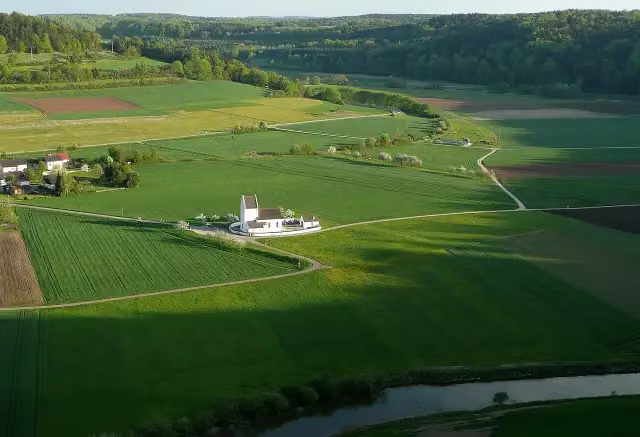 Kastell BöhmingArchaeological site · 902 m from the route
- 13
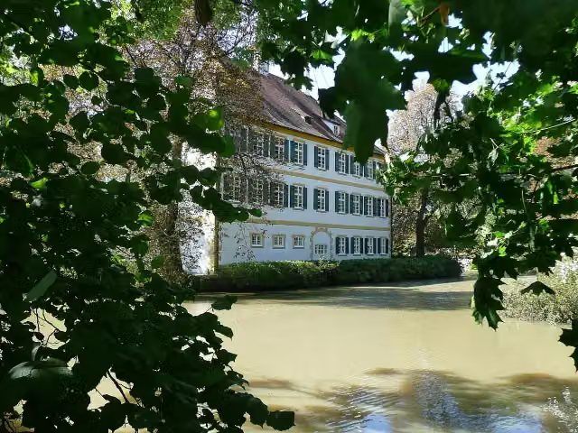 Schloss SchönbrunnCastle · 1.1 km from the route
- 14
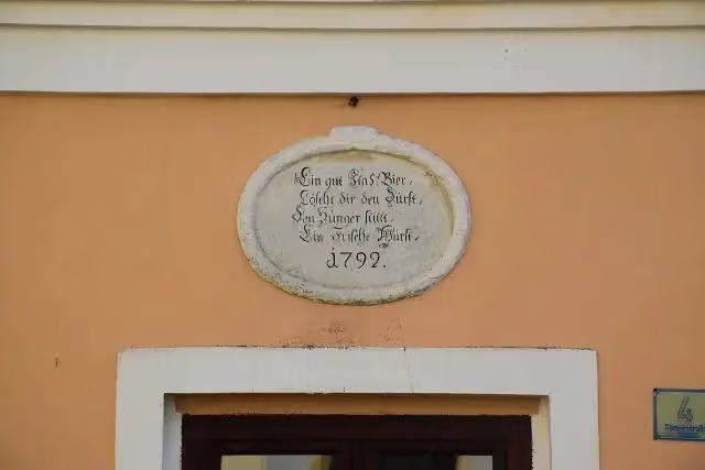 MemorialMemorial · 1.1 km from the route
- 15
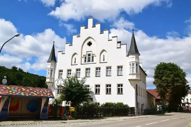 Schloss SchamhauptenCastle · 1.1 km from the route
- 16
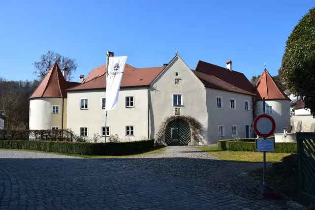 Schloss TittingCastle · 1.3 km from the route
- 17
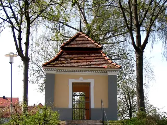 GartenpavillonAttraction · 1.6 km from the route
- 18
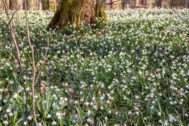 MärzenbecherwaldAttraction · 1.9 km from the route
- 19
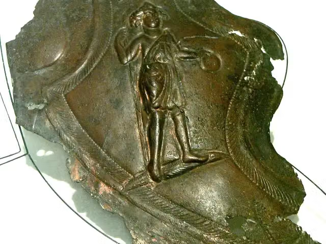 Kastell TheilenhofenArchaeological site · 2.2 km from the route
- 20
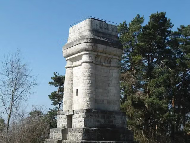 Bismarckturm WeißenburgObservation tower · 2.3 km from the route
- 21
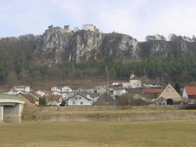 Schloss ArnsbergCastle · 2.5 km from the route
- 22
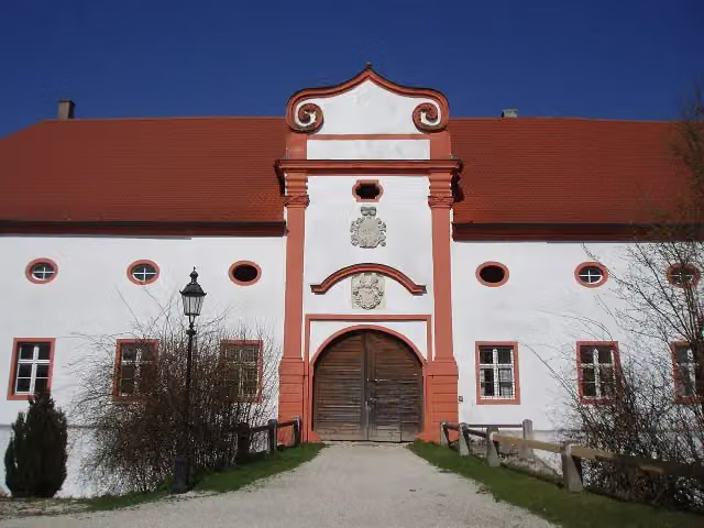 Schloss StopfenheimCastle · 2.5 km from the route
- 23
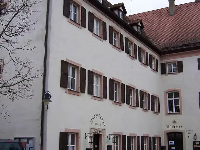 Heimat und BrauereimuseumMuseum · 3.1 km from the route
- 24
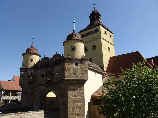 Ellinger TorAttraction · 3.1 km from the route
- 25
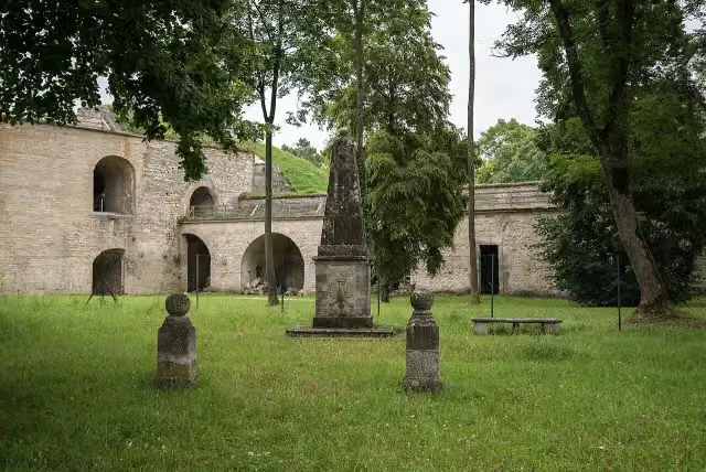 KriegerdenkmalMemorial · 3.2 km from the route
Explore more
More walks around Gunzenhausen
Frequently asked questions
How long is Limesweg?
Limesweg is 117.3 km long. Allow ± 28:00 h of walking: 4.5 km an hour and 10 minutes more per 100 metres of climbing, without breaks.
Is this route a circular walk?
No, the route runs from Gunzenhausen to Neustadt a.d. Donau.
Where does this route start?
The route starts in Gunzenhausen.
How hard is this route?
Hard, with 1,175 m of climbing.
Are there toilets along this route?
Yes, there are 12 public toilets within 100 m of the route. The longest stretch without a toilet is 68.1 km.
Can you fill up with water along this route?
Yes, there are 3 water fountains and refill points within 100 m of the route.
What is there to see along this route?
Along the way you pass Archäologisches Museum Gunzenhausen, Kleinkastell am Hinteren Schloßbuck and Schloss Ellingen.
Can I download this route as a GPX file?
Yes. Sign in with your Outdoor Pitstop account and choose Download GPX at the top of this page: 10 routes a month for free, unlimited with Pro.
Starting point
More routes from this place
Route data © OpenStreetMap contributors





