 Outdoor Pitstop
Walking route · Nijmegen · Regional Trail Rijk van Nijmegen · Updated on 5 November 2026
Streekpad Rijk van Nijmegen walk
Streekpad Rijk van Nijmegen is a walk of 113.3 km from Nijmegen that starts and ends at the same spot. Along the way: 186 benches and picnic tables, 16 water fountains and refill points and 7 public toilets.
The route step by step
From start to finish, with what you pass along the way and the distance in between.
- 113.3 km
- ± 3:35 h per stage
- Moderate per stage
- Circular walk
- Regional route
Pick a stage to see the pitstops per kilometre. Along the way: 186 benches and picnic tables, 16 water fountains and refill points and 7 public toilets.
Follow these steps in the appThe route with the water points, toilets and sights within 100 m of it.
11 sights along the way
In the order you pass them. With the Outdoor Pitstop app you hear their story on the spot. 3 more along the route are on the map.
Ruins
- Audio story · 2 min
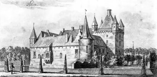
Hernen
Castle
- Story
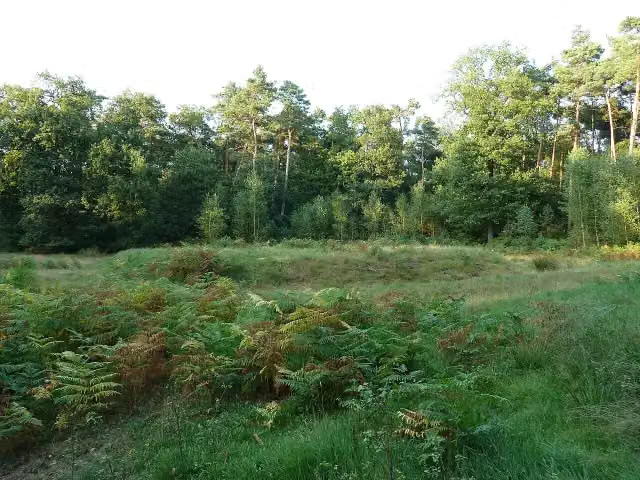
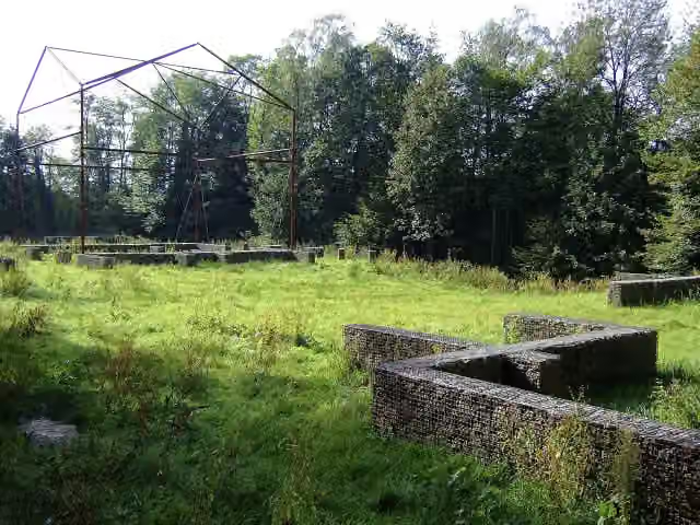
Romeinse Wachtpost Heumensoord
Archaeological site
 Story
i
Photo: Peter van der Wielen · Wikimedia Commons · CC BY-SA 3.0 nlView the photo on Wikimedia CommonsJachtslot De Mookerheide
Castle
Romeinse villa Plasmolen
Archaeological site
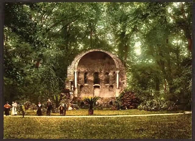 Story
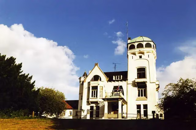
Barbarossakapel
Ruins
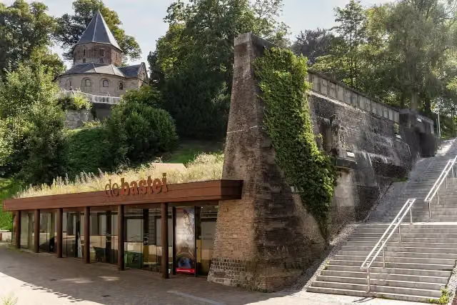 Story
i
Photo: Stichting De Bastei · Wikimedia Commons · CC BY-SA 4.0View the photo on Wikimedia CommonsMuseum De Bastei
Museum

Observation tower
Stages (7)
Elevation and terrain
Way types
113.3 km in total- Road: 49.4 km
- Path: 24.7 km
- Cycleway: 12 km
- Track: 10.5 km
- Street: 8.2 km
- Footpath: 6.3 km
- Busy road: 925 m
- Stairs: 13 stairs
Surfaces
113.3 km in total- Asphalt: 49.1 km
- Unpaved: 11.9 km
- Paved: 8.9 km
- Gravel: 8.8 km
- Natural: 7.4 km
- Unknown: 26.8 km
About the walking route Streekpad Rijk van Nijmegen
Updated on 5 November 2026, with data from OpenStreetMap and the AHN.
Where do you walk?
Streekpad Rijk van Nijmegen is a circular walk of 113.3 km from Nijmegen: it starts and ends in the same place.
How hard is the route?
There are 13 flights of steps along the way. Allow ± 3:35 h per stage, without breaks. The level is moderate per stage.
What paths do you walk on?
The longest part is road (49.4 km), path (24.7 km) and cycleway (12 km). Of the surface, 49.1 km asphalt and 11.9 km unpaved. For 26.8 km the surface is not known.
Pitstops along the way
Within 100 metres of the route there are 186 benches and picnic tables, 16 water fountains and refill points and 7 public toilets. The Outdoor Pitstop app navigates you there.
Walks nearby
6- WNW Arnhem Nijmegen - Goffertstadion - groene routeModerate · Circular walk12.1 km
- WNW Arnhem Nijmegen - Centrum - rode routeEasy · Circular walk5.9 km
- WNW Arnhem Nijmegen - Lingezegen - turquoise routeModerate · From A to B14.8 km
- WNW Arnhem Nijmegen - Lent - paarse routeModerate · From A to B11.9 km
- Airbornepad Market Garden - 26Easy · From A to B8.9 km
- WNW Arnhem Nijmegen - Nijmegen Oost - blauwe routeEasy · Circular walk6.5 km
Sights nearby
Within 10 km of the route, best known first.
- 1
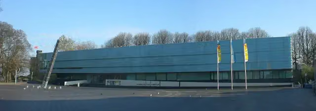 Valkhof MuseumMuseum · 155 m from the route
- 2
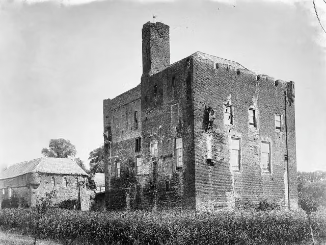 Kasteel DoornenburgAttraction · 5.6 km from the route
- 3
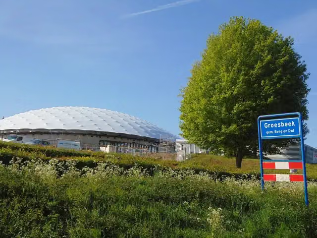 Freedom MuseumMuseum · 3.1 km from the route
- 4
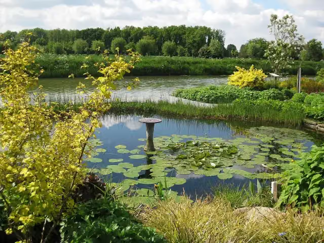 Bloemenpark AppelternAttraction · 3.8 km from the route
- 5
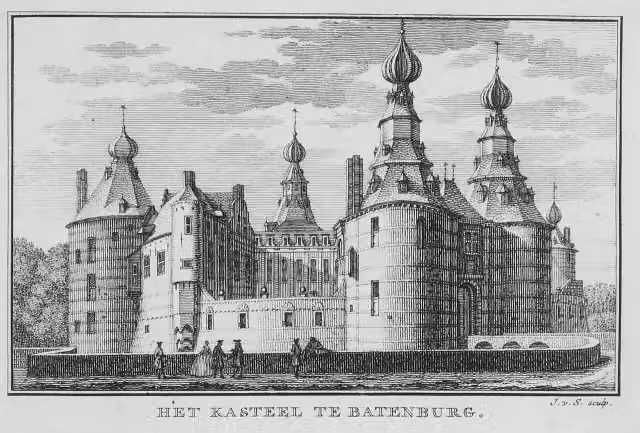 Kasteel BatenburgRuins · 3 km from the route
- 6
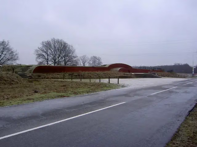 VorstengrafArchaeological site · 8.5 km from the route
- 7
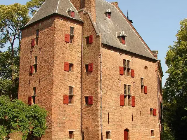 De KinkelenburgCastle · 2.7 km from the route
- 8
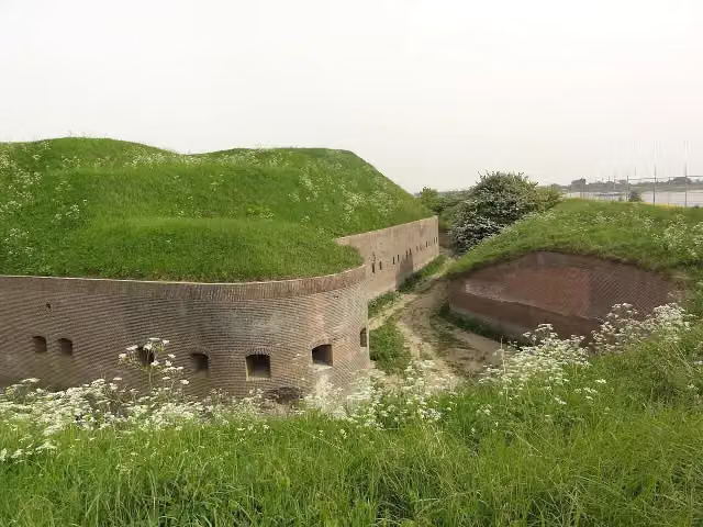 Fort PannerdenAttraction · 6.5 km from the route
- 9
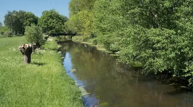 NiersmündungAttraction · 3 km from the route
- 10
 MuZIEumMuseum · 278 m from the route
- 11
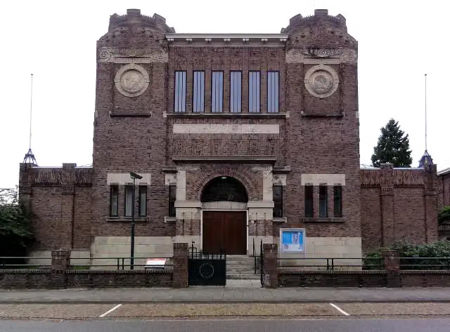 Museum KamMuseum · 836 m from the route
- 12
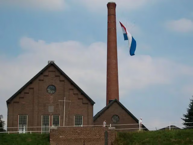 Stoomgemaal de TuutMuseum · 4.7 km from the route
- 13
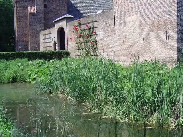 Kasteel TongelaarCastle · 5.8 km from the route
- 14
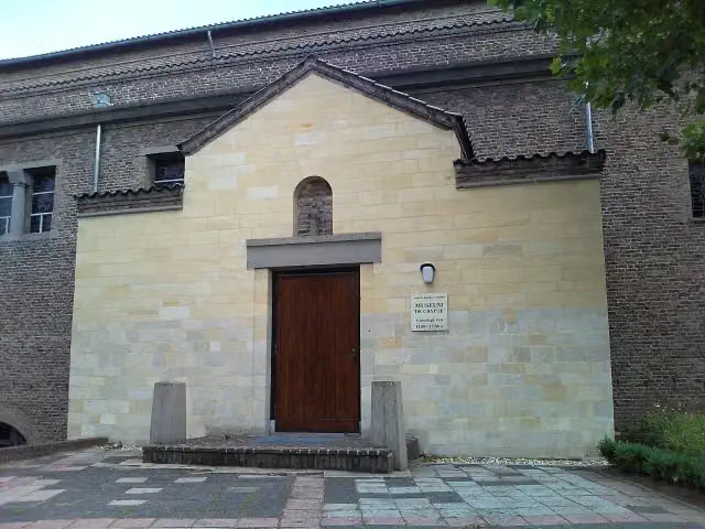 De CrypteMuseum · 5.1 km from the route
- 15
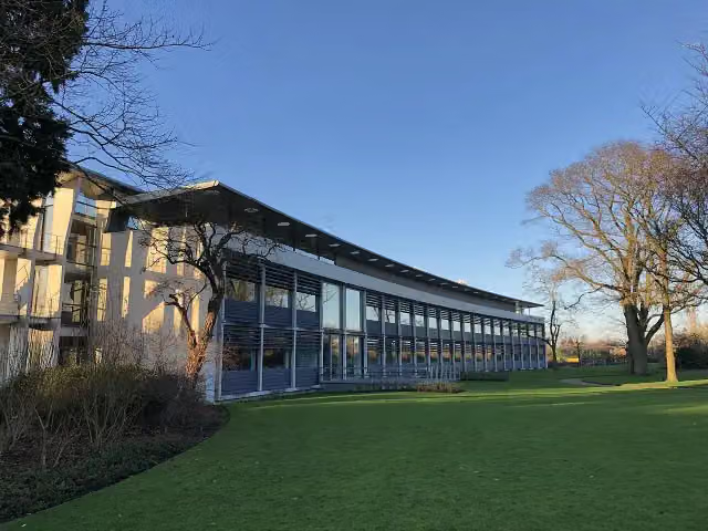 Het DepotMuseum · 8.2 km from the route
- 16
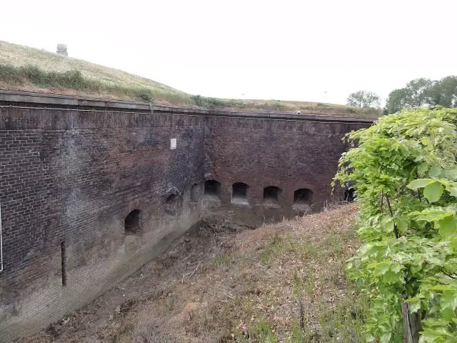 Fort Boven-LentAttraction · 682 m from the route
- 17
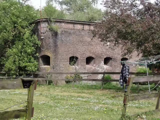 Fort Beneden LentFort · 1.1 km from the route
- 18
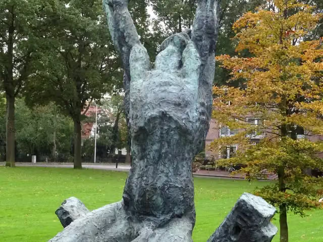 Waarom ik?Memorial · 2.7 km from the route
- 19
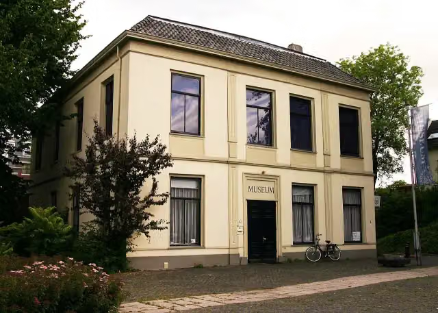 De Casteelse PoortMuseum · 8.1 km from the route
- 20
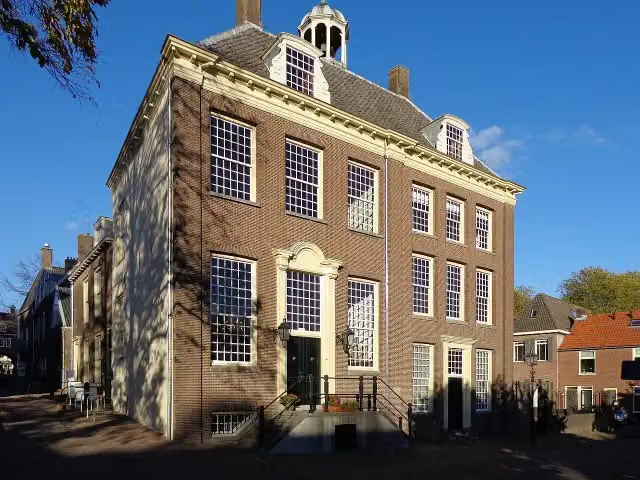 Stadsmuseum RhenenMuseum · 9 km from the route
- 21
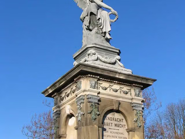 SpoorwegmonumentMemorial · 120 m from the route
- 22
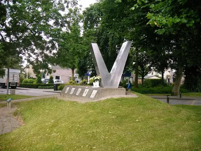 Bevrijdingsmonument ZettenMemorial · 4.3 km from the route
- 23
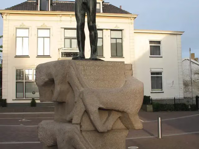 Dutch National Liberation MonumentMemorial · 8.3 km from the route
- 24
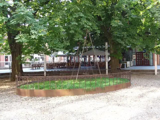 De SchommelMemorial · 226 m from the route
- 25
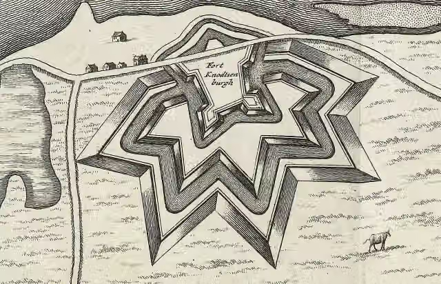 Fort KnodsenburgArchaeological site · 596 m from the route
Explore more
More walks around Nijmegen
Frequently asked questions
How long is Streekpad Rijk van Nijmegen?
Streekpad Rijk van Nijmegen is 113.3 km long, in 7 stages of 16.2 km on average. Allow ± 3:35 h per stage of walking: 4.5 km an hour and 10 minutes more per 100 metres of climbing, without breaks.
Is this route a circular walk?
Yes, the route starts and ends at the same spot.
Where does this route start?
The route starts in Nijmegen.
How hard is this route?
Moderate per stage.
Are there toilets along this route?
Yes, there are 7 public toilets within 100 m of the route.
Can you fill up with water along this route?
Yes, there are 16 water fountains and refill points within 100 m of the route.
What is there to see along this route?
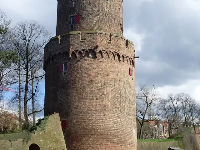
Along the way you pass Kruittoren, Hernen and Romeinse Wachtpost Heumensoord.
Start place
More routes from this place
Route data © OpenStreetMap contributors





