 Outdoor Pitstop
Cycling guide Rhenen · Updated on 5 November 2026
The best cycle routes in Rhenen
Rhenen has 9 cycle routes on the Outdoor Pitstop map. The 4 best are 171.5 km long on average. Along the way you find 1,076 benches and picnic tables, 39 water fountains and refill points, 16 public toilets and 1 food stand in total.
i
i
The 4 best cycle routes
In the order of our score: a photo, points of interest along the way, a toilet or water point, a circular ride, a description and how often people search for the route.
The best cycle route in Rhenen is Midden-Nederlandroute - 05 - Amerongen - Arnhem (47.2 km, moderate).
The numbers on the map are the routes below, at their starting point. Pitstops count up to 100 m from the route. Riding time assumes 15 km an hour, without breaks.
- 1
i
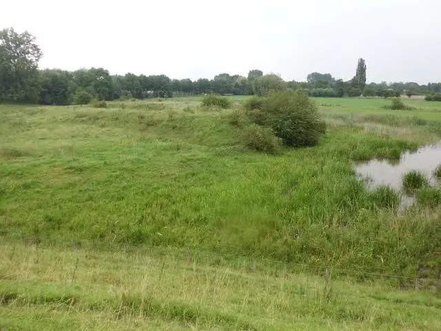
Photo: HenkvD · Wikimedia Commons · CC BY-SA 3.0View the photo on Wikimedia Commons47.2 km · ± 3:10 h · ↗ 232 m · From A to B · start Utrechtse Heuvelrug
0 public toilets6 water fountains and refill points126 benches and picnic tables
- 2
i
Photo: HenkvD · Wikimedia Commons · CC BY-SA 3.0View the photo on Wikimedia Commons144.5 km · ± 9:40 h · ↗ 462 m · From A to B · start Utrechtse Heuvelrug
2 public toilets10 water fountains and refill points261 benches and picnic tables
- 3
i
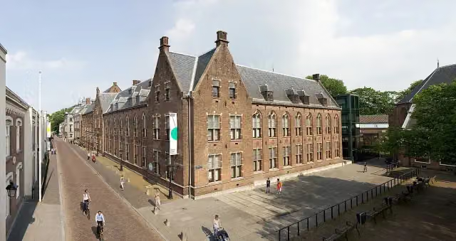
Photo: Centraal Museum / fotograaf: Vincent Zedelius · Wikimedia Commons · CC BY-SA 3.0View the photo on Wikimedia Commons263.9 km · ± 17:35 h · ↗ 512 m · From A to B · start Wassenaar
14 public toilets23 water fountains and refill points689 benches and picnic tables
- 4
230.5 km · ± 15:20 h · From A to B · start Katwijk
0 public toilets0 water fountains and refill points0 benches and picnic tables
Long-distance routes through Rhenen
Rides of several days, in stages, like the Dutch LF routes and EuroVelo.
i
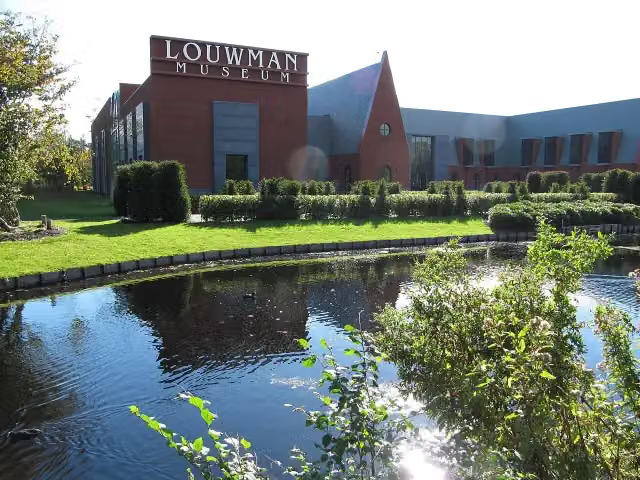
Photo: Michiel1972 · Wikimedia Commons · CC BY-SA 3.0View the photo on Wikimedia CommonsMidden-Nederlandroute
311.9 km · From A to B
i
Photo: Centraal Museum / fotograaf: Vincent Zedelius · Wikimedia Commons · CC BY-SA 3.0View the photo on Wikimedia CommonsEuroVelo 2 - Hoofdstedenroute - deel Nederland
292.8 km · From A to B
i
Photo: Centraal Museum / fotograaf: Vincent Zedelius · Wikimedia Commons · CC BY-SA 3.0View the photo on Wikimedia CommonsEuroparadweg R1
465.7 km · From A to B
i
Photo: Centraal Museum / fotograaf: Vincent Zedelius · Wikimedia Commons · CC BY-SA 3.0View the photo on Wikimedia CommonsEuroroute R1 - deel Nederland
460.9 km · From A to B
European Limes Cycling Route
230.5 km · From A to B
Points of interest along the cycle routes
Along the 4 best cycle routes.
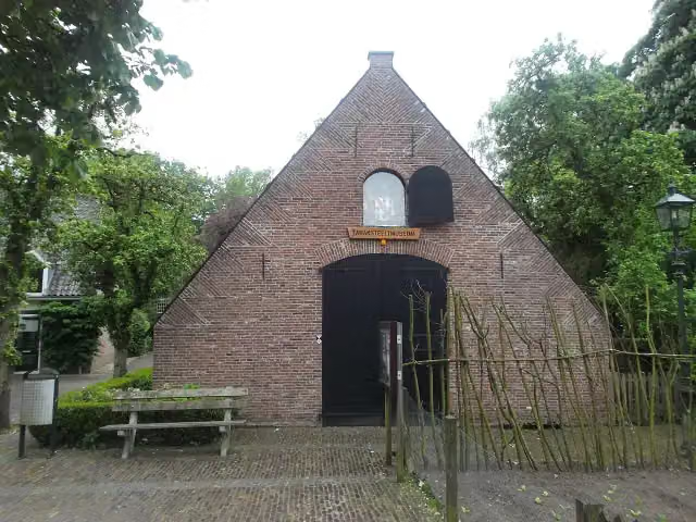
Tabaksteeltmuseum
Museum · along 3 cycle routes
Hoornwerk aan de Grebbe
Fort · along 3 cycle routes
 Story
i
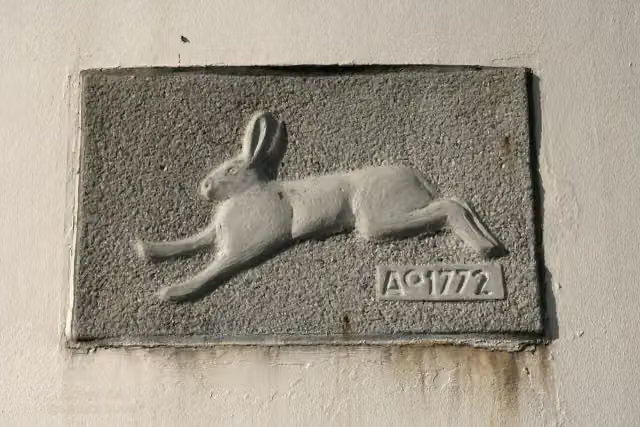
Photo: Quistnix at nl.wikipedia · Wikimedia Commons · CC BY-SA 2.5View the photo on Wikimedia CommonsMolen "de Haas"
Viewpoint · along 1 cycle route
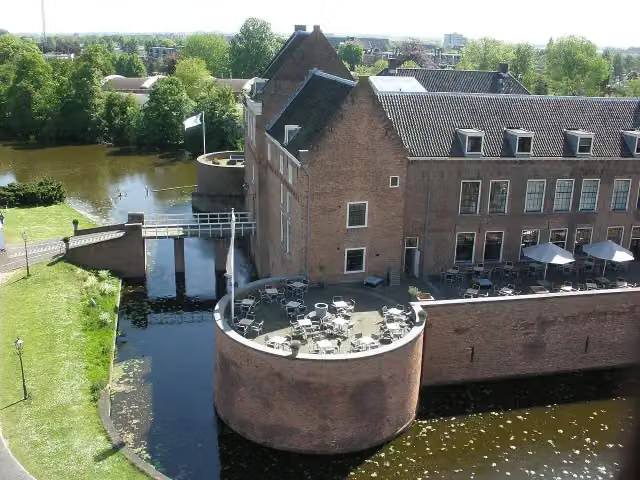
Kasteel van Woerden
Castle · along 1 cycle route
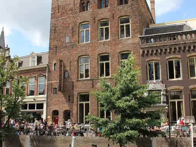
Kasteel Oudaen
Castle · along 1 cycle route
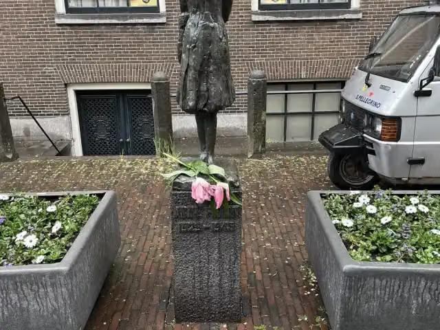
Anne Frank
Memorial · along 1 cycle route
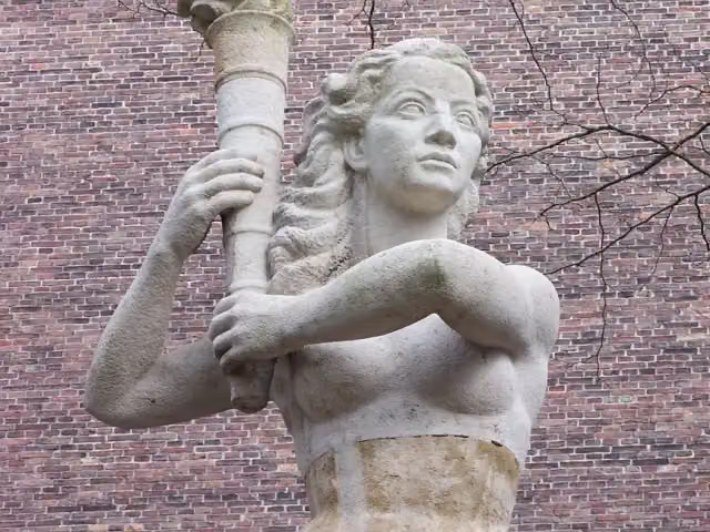
Verzetsmonument
Memorial · along 1 cycle route
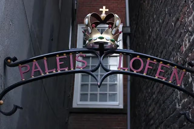
Paleis Lofen
Castle · along 1 cycle route
Cycle routes per place in Utrecht province
15 places have their own guide.
Explore further
Frequently asked questions
How many cycle routes are there in Rhenen?
The Outdoor Pitstop map has 9 cycle routes in Rhenen, including 5 long-distance routes in stages.
What is the best cycle route in Rhenen?
At the top of this guide is Midden-Nederlandroute - 05 - Amerongen - Arnhem (47.2 km, moderate). Next come EuroVelo 2 - Nederland part 2 and Euroroute R1 - Meijendel - Zwillbrock.
Which cycle routes in Rhenen have a toilet along the way?
In this guide, EuroVelo 2 - Nederland part 2 and Euroroute R1 - Meijendel - Zwillbrock have a public toilet along the route.
Which long-distance routes run through Rhenen?
Among others Midden-Nederlandroute, EuroVelo 2 - Hoofdstedenroute - deel Nederland, Europaradweg R1 and Euroroute R1 - deel Nederland run through this area.
Popular nearby
Guides of places nearby





