 Outdoor Pitstop
Cycle route · Katwijk · Updated on 6 November 2026
Romeinse Limesroute cycle route
Romeinse Limesroute is a cycle route of 230.5 km from Katwijk.
The route step by step
From start to finish, with what you pass along the way and the distance in between.
- 230.5 km
- ± 5 min per stage
- Easy per stage
- From A to B
- National route
Start in Katwijk
0 km230.5 km
Finish
230.5 km
No public toilet along the wayThere is no public toilet within 100 m of the route. Go before you start, or find one a bit further away in the app.
The route with the water points, toilets and sights within 100 m of it.
Stages (159)
- 163-973.5 km
- 296-97683 m
- 345-96734 m
- 445-931.5 km
- 593-93140 m
- 689-931.8 km
- 789-90294 m
- 888-90894 m
- 935-88613 m
- 1035-99665 m
- 1107-991.1 km
- 1207-79180 m
- 1353-791.4 km
- 1402-53237 m
- 1502-862.3 km
- 1611-862.5 km
- 1711-12627 m
- 1812-19508 m
- 1917-191.3 km
- 2017-181.4 km
- 2118-711.1 km
- 2208-714.5 km
- 2308-08318 m
- 2407-08909 m
- 2507-98386 m
- 2605-981.7 km
- 2705-062.3 km
- 2806-093.7 km
- 2909-85423 m
- 3004-851.3 km
- 3104-10473 m
- 3203-101.1 km
- 3303-883 km
- 3488-8899 m
- 3588-891.2 km
- 3689-941.9 km
- 3733-941.2 km
- 3831-331.3 km
- 3931-678.2 km
- 4028-671.2 km
- 4128-70531 m
- 4270-84961 m
- 4345-711.3 km
- 4445-72979 m
- 4572-731.6 km
- 4609-733.7 km
- 4709-10847 m
- 4810-11647 m
- 4911-17996 m
- 5012-17178 m
- 5112-40449 m
- 5240-59555 m
- 5359-92731 m
- 5444-9286 m
- 5504-44281 m
- 5604-55494 m
- 5755-561.1 km
- 5832-561.1 km
- 5932-491.1 km
- 6025-49477 m
- 6125-761.8 km
- 6276-87561 m
- 6321-87485 m
- 6419-211.6 km
- 6501-19575 m
- 6601-48148 m
- 6723-522 km
- 6826-52862 m
- 6916-26536 m
- 7031-582.6 km
- 7138-58613 m
- 7238-8035 m
- 7380-96717 m
- 7437-96532 m
- 7537-6291 m
- 7662-95609 m
- 7722-95439 m
- 7822-351.8 km
- 7935-98653 m
- 8039-981 km
- 8139-53373 m
- 8240-53559 m
- 8340-41838 m
- 8441-441.9 km
- 8543-441.5 km
- 8642-43684 m
- 8742-783.6 km
- 8876-784.2 km
- 8960-764.8 km
- 9057-602.7 km
- 9130-57189 m
- 9230-561.1 km
- 9355-561.1 km
- 9414-555.9 km
- 9514-15100 m
- 9615-931.3 km
- 9737-735.8 km
- 9873-74795 m
- 9974-762.1 km
- 10076-772.6 km
- 10108-772.4 km
- 10208-09164 m
- 10309-905.7 km
- 10490-931.2 km
- 10591-931.9 km
- 10691-92204 m
- 10792-941.3 km
- 10824-941.5 km
- 10924-733.4 km
- 11073-831.1 km
- 11161-83833 m
- 11261-81178 m
- 11306-812.6 km
- 11406-20763 m
- 11502-20559 m
- 11602-082.1 km
- 11708-092 km
- 11809-371.1 km
- 11937-532.9 km
- 12053-59691 m
- 12127-59662 m
- 12227-872.5 km
- 12328-87529 m
- 12428-861.3 km
- 12529-86381 m
- 12622-291 km
- 12722-303 km
- 12830-662.5 km
- 12963-662 km
- 13063-641.2 km
- 13164-651.2 km
- 13206-653.8 km
- 13306-88773 m
- 13488-891.4 km
- 13546-892.4 km
- 13633-461.4 km
- 13733-44729 m
- 13844-961.6 km
- 13981-961.1 km
- 14081-941.3 km
- 14172-941.3 km
- 14271-722.3 km
- 14371-953 km
- 14467-952.3 km
- 14549-674.6 km
- 14649-50602 m
- 14750-741 km
- 14855-741.2 km
- 14948-55538 m
- 15016-482.5 km
- 15102-16529 m
- 15201-02743 m
- 15301-81277 m
- 15403-811.7 km
- 15503-041.2 km
- 15604-151.9 km
- 15715-572.3 km
- 15857-601.4 km
- 15959-60863 m
Elevation and terrain
Way types
230.5 km in total- Road: 122.8 km
- Cycle path: 70 km
- Street: 28.9 km
- Track: 3.8 km
- Busy road: 1.5 km
- Footpath (walk your bike): 1.5 km
- Path: 150 m
- Unknown: 1 km
Surfaces
230.5 km in total- Asphalt: 165.7 km
- Paved: 22.9 km
- Unpaved: 675 m
- Natural: 400 m
- Unknown: 40 km
About the cycle route Romeinse Limesroute
Updated on 6 November 2026, with data from OpenStreetMap and the AHN.
Where do you cycle?
Romeinse Limesroute is a cycle route of 230.5 km that starts in Katwijk. It does not end where it starts. You start in Katwijk aan Zee and finish in Berg en Dal.
How hard is the route?
Allow ± 5 min per stage, without breaks. Per stage the level is easy.
What roads do you cycle on?
The longest part is road (122.8 km), cycle path (70 km) and street (28.9 km). Of the surface, 165.7 km asphalt and 22.9 km paved. For 40 km the surface is not known.
Pitstops along the way
There are no pitstops within 100 metres of the route yet. There is no public toilet within 100 metres of the route.
The Romeinse Limesroute is a long-distance cycle route of just over 230 km along the Limes, the old frontier of the Roman Empire, from Katwijk aan Zee to Berg en Dal. It is managed by Nederland Fietsland and forms the Dutch part of the European Limes Cycling Route. Almost three quarters is asphalt; about half follows roads and almost a third is cycle path.
Part of European Limes Cycling Route
Website of the routeCycle routes nearby
6- LF Kustroute - 08 - Noordwijk - OostvoorneHard · From A to B67.4 km
- EuroVelo 12 - North Sea Cycle Route - part Nederland westHard · From A to B266.1 km
- LF Kustroute - 07 - Egmond - NoordwijkHard · From A to B61.5 km
- LandgoederenrouteEasy · From A to B6.4 km
- VelostradaEasy · From A to B9.2 km
- Midden-Nederlandroute - alt - Den Haag - WassenaarEasy · From A to B5.8 km
Sights nearby
Within 10 km of the route, best known first.
- 1
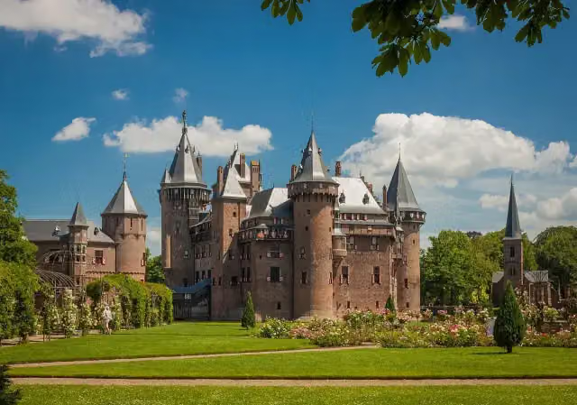 Kasteel de HaarAttraction · 190 m from the route
- 2
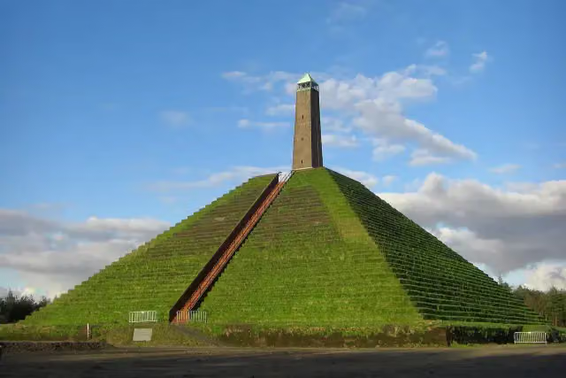 Pyramid of AusterlitzAttraction · 7.8 km from the route
- 3
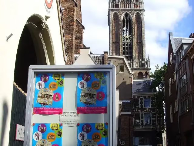 Museum SpeelklokMuseum · 208 m from the route
- 4
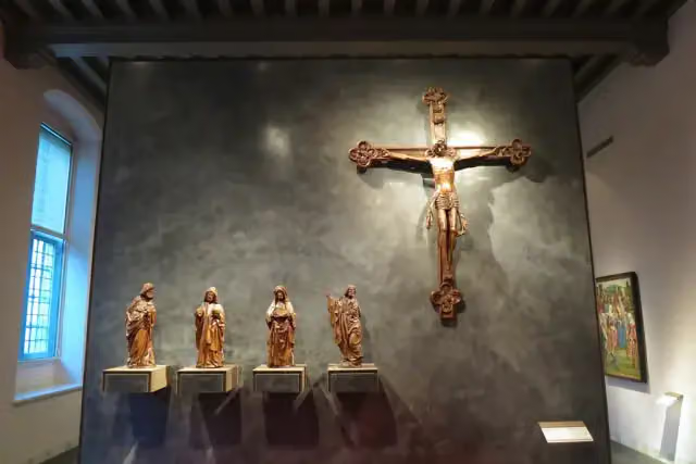 Museum CatharijneconventMuseum · 58 m from the route
- 5
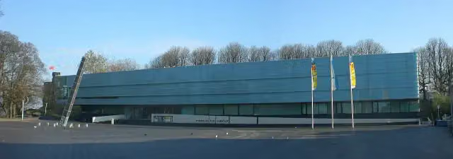 Valkhof MuseumMuseum · 65 m from the route
- 6
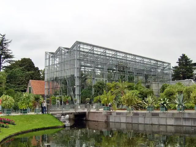 Hortus botanicus LeidenAttraction · 67 m from the route
- 7
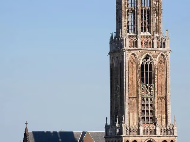 Dom towerAttraction · 93 m from the route
- 8
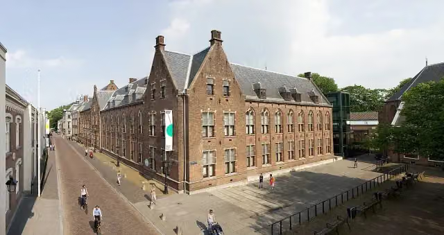 Centraal MuseumMuseum · 108 m from the route
- 9
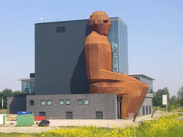 CorpusMuseum · 244 m from the route
- 10
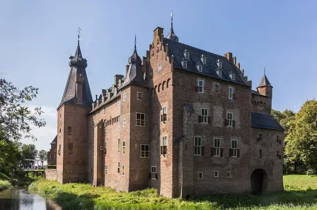 Kasteel DoorwerthCastle · 257 m from the route
- 11
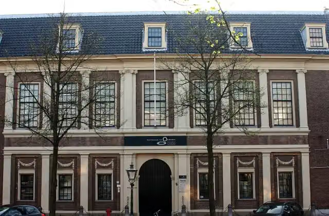 Rijksmuseum van OudhedenMuseum · 266 m from the route
- 12
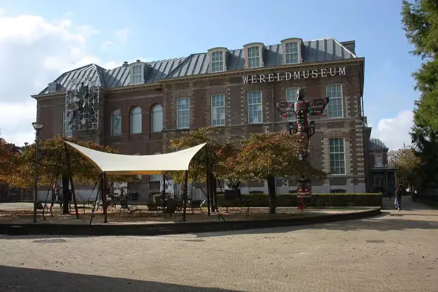 Wereldmuseum LeidenMuseum · 399 m from the route
- 13
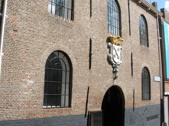 Rijksmuseum BoerhaaveMuseum · 598 m from the route
- 14
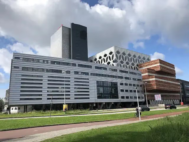 Naturalis Biodiversity CentreMuseum · 690 m from the route
- 15
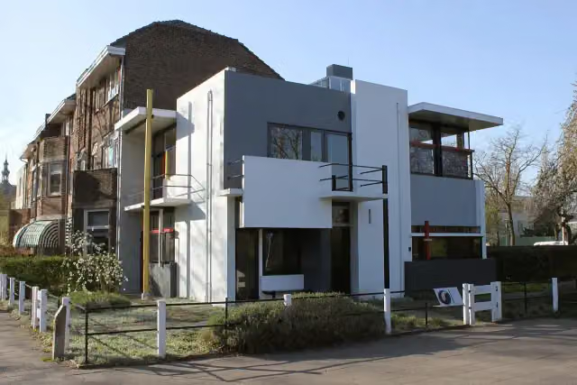 Rietveld-SchröderhuisMuseum · 1.2 km from the route
- 16
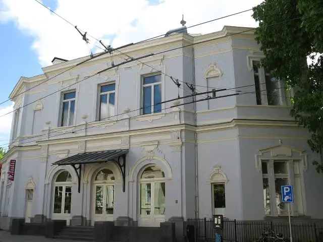 Museum ArnhemMuseum · 1.4 km from the route
- 17
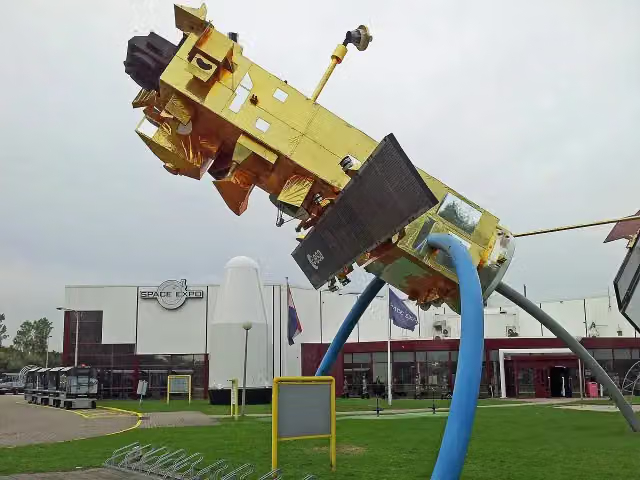 Space ExpoMuseum · 1.4 km from the route
- 18
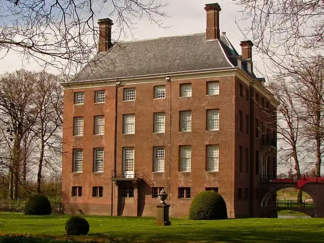 Kasteel AmerongenCastle · 1.6 km from the route
- 19
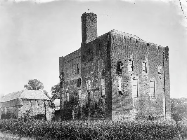 Kasteel DoornenburgAttraction · 1.6 km from the route
- 20
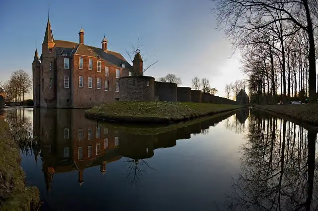 Slot ZuylenCastle · 4.5 km from the route
- 21
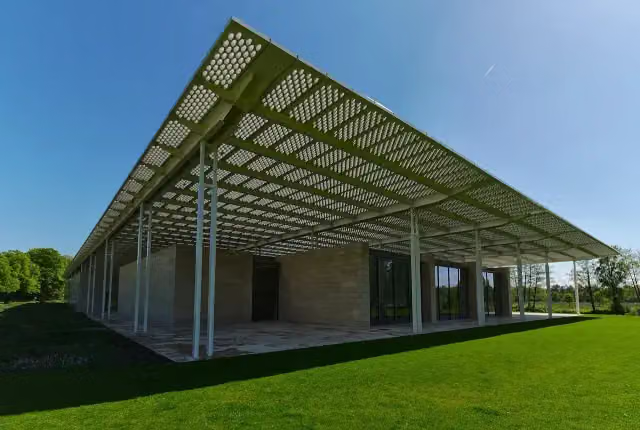 Museum VoorlindenMuseum · 8.3 km from the route
- 22
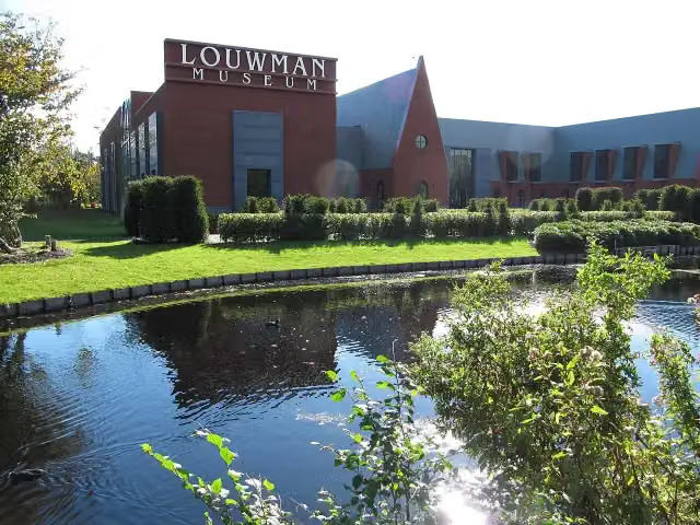 Louwman MuseumMuseum · 9.3 km from the route
- 23
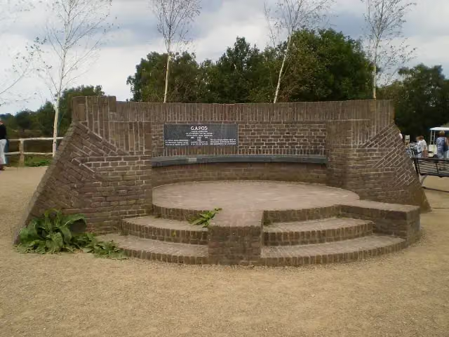 PosbankMemorial · 9.4 km from the route
- 24
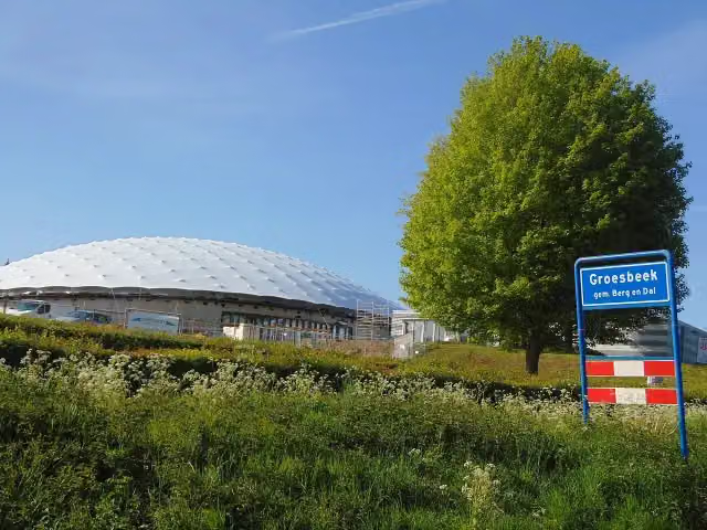 Freedom MuseumMuseum · 3.5 km from the route
- 25
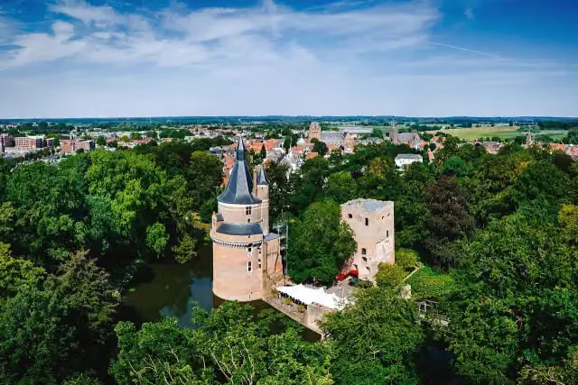 Duurstede CastleCastle · 155 m from the route
Explore more
Frequently asked questions
How long is Romeinse Limesroute?
Romeinse Limesroute is 230.5 km long, in 159 stages of 1.4 km on average. Allow ± 5 min per stage of riding: 15 km an hour, without breaks.
Is this route a circular ride?
No, the route runs from Katwijk aan Zee to Berg en Dal.
Where does this route start?
The route starts in Katwijk.
How hard is this route?
Easy per stage.
Are there toilets along this route?
No, there is no public toilet within 100 m of the route. Go before you start.
Can you fill up with water along this route?
No, there is no water point within 100 m of the route. Bring enough water.
Starting point
More routes from this place
Route data © OpenStreetMap contributors





