 Outdoor Pitstop
Cycle route · Utrechtse Heuvelrug · Updated on 6 November 2026
Midden-Nederlandroute - 05 - Amerongen - Arnhem cycle route
Midden-Nederlandroute - 05 - Amerongen - Arnhem is a cycle route of 47.2 km from Utrechtse Heuvelrug. Along the way you'll find 126 benches and picnic tables and 6 water fountains and refill points.
i
i
i
The route step by step
From start to finish, with what you pass along the way and the distance in between.
- 47.2 km
- ± 3:10 h
- ↑ 232 m · ↓ 221 m
- Moderate
- From A to B
- National route
Start in Utrechtse Heuvelrug
0 kmAt the start: water point.
203 m

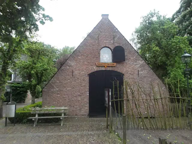
Tabaksteeltmuseum
203 mMuseum
1.2 km · 4 benches
Water point
1.4 km12.7 km · 21 benches
Water point
14.1 km375 m
Water point
14.4 km4.9 km · 9 benches
Hoornwerk aan de Grebbe
19.3 kmFort
27.8 km · 89 benches
Finish
47.2 kmAt the finish: 2 water fountains and refill points.
No public toilet along the wayThere is no public toilet within 100 m of the route. Go before you start, or find one a bit further away in the app.
The route with the pitstops and sights within 100 m of it.
2 sights along the way
In the order you pass them. With the Outdoor Pitstop app you hear their story on the spot.
Tabaksteeltmuseum
Museum · after 203 m
Hoornwerk aan de Grebbe
Fort · after 19.3 km
Elevation and terrain
- Up
- ↑ 232 m
- Down
- ↓ 221 m
- Highest point
- 57 m
- Lowest point
- 6 m
- 5-10% slope · 711 m
Elevation from AHN (Rijkswaterstaat), smoothed.
Way types
47.2 km in total- Cycle path: 21.8 km
- Road: 19.4 km
- Street: 4.8 km
- Busy road: 1.1 km
Surfaces
47.2 km in total- Asphalt: 42.2 km
- Paved: 4.7 km
- Gravel: 125 m
About the cycle route Midden-Nederlandroute - 05 - Amerongen - Arnhem
Updated on 6 November 2026, with data from OpenStreetMap and the AHN.
Where do you cycle?
Midden-Nederlandroute - 05 - Amerongen - Arnhem is a cycle route of 47.2 km that starts in Utrechtse Heuvelrug. It does not end where it starts. Along the way you pass Tabaksteeltmuseum (after 203 m) and Hoornwerk aan de Grebbe (after 19.3 km).
How hard is the route?
You climb 232 m in total and descend 221 m. Allow ± 3:10 h, without breaks. The level is moderate.
What roads do you cycle on?
The longest part is cycle path (21.8 km), road (19.4 km) and street (4.8 km). Of the surface, 42.2 km asphalt and 4.7 km paved.
Pitstops along the way
Within 100 metres of the route there are 126 benches and picnic tables and 6 water fountains and refill points. You can fill your bottle at the start, after 1.4 km, after 14.1 km, after 14.4 km and at the finish. There is no public toilet within 100 metres of the route. The Outdoor Pitstop app navigates you there.
This stage of the Midden-Nederlandroute (LF4) is a cycle route of about 47 km from Amerongen to Arnhem. You pass Amerongen Castle and the Tabaksteeltmuseum (tobacco growing museum), ride through the Amerongse Bos and the town woods of Rhenen, past the Laarsenberg and the Hoornwerk aan de Grebbe, and on through Wageningen, Heelsum, Doorwerth and Oosterbeek to Arnhem. With over 230 metres of climbing it is a hilly ride by Dutch standards. Almost all of it is asphalt. We know of six water taps along the way, but no toilet or bike pump. Between Wijk bij Duurstede and Arnhem the LF4 shares its course with the Rhine cycle route.
Source: Wikipedia (CC BY-SA)
Part of Midden-Nederlandroute
Website of the routeCycle routes nearby
6- EuroVelo 2 - Nederland part 1Hard · From A to B148.3 km
- EuroVelo 2 - Nederland part 2Hard · From A to B144.5 km
- Midden-Nederlandroute - 04 - Utrecht - AmerongenModerate · From A to B39.5 km
- Rijnfietsroute - 03 - Amerongen - Wijk bij DuurstedeEasy · From A to B10.9 km
- Euroroute R1 - Meijendel - ZwillbrockHard · From A to B263.9 km
- Rijnfietsroute - 04 - Wijk bij Duurstede - GorinchemHard · From A to B60 km
Sights nearby
Within 10 km of the route, best known first.
- 1
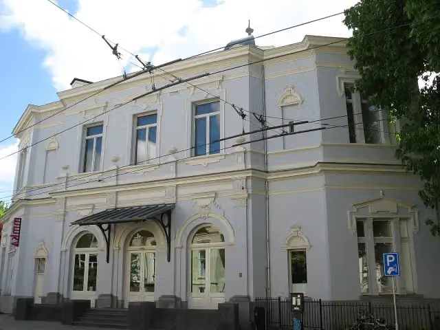 Museum ArnhemMuseum · 123 m from the route
- 2
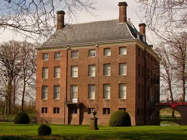 Kasteel AmerongenCastle · 238 m from the route
- 3
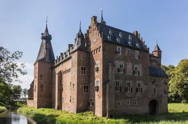 Kasteel DoorwerthCastle · 344 m from the route
- 4
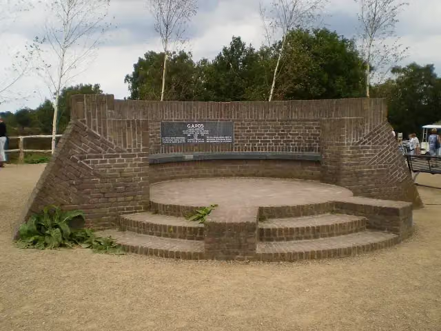 PosbankMemorial · 9.5 km from the route
- 5
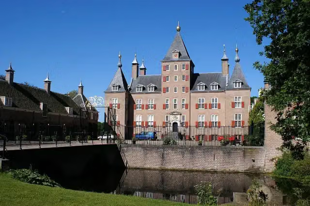 Kasteel RenswoudeCastle · 8.3 km from the route
- 6
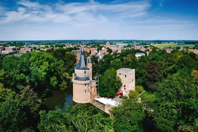 Duurstede CastleCastle · 8.5 km from the route
- 7
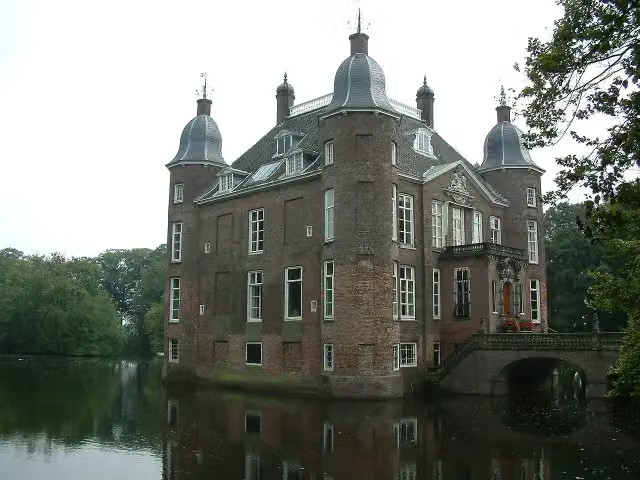 Kasteel BiljoenCastle · 6.3 km from the route
- 8
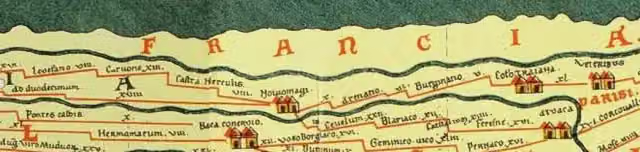 Castellum MeinerswijkArchaeological site · 1.7 km from the route
- 9
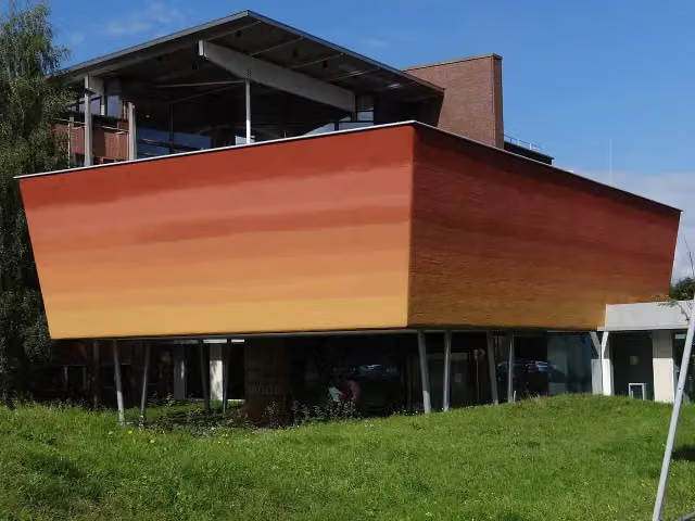 World Soil MuseumMuseum · 2.5 km from the route
- 10
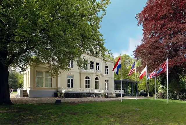 Airborne Museum 'Hartenstein'Museum · 142 m from the route
- 11
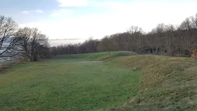 HunneschansArchaeological site · 814 m from the route
- 12
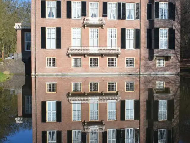 Huis ZypendaalCastle · 1.4 km from the route
- 13
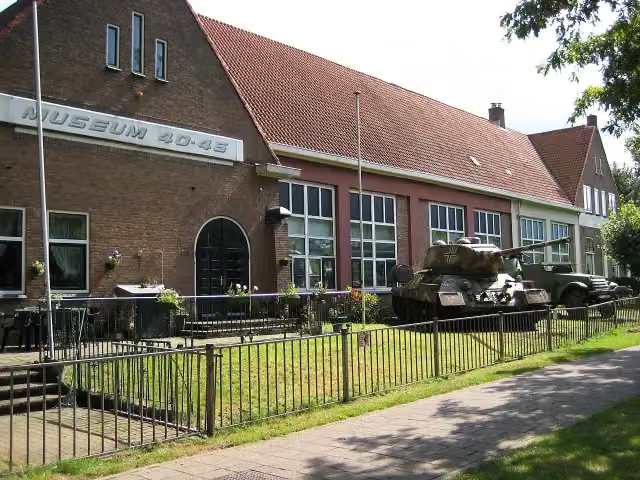 Arnhem War Museum 40 - 45Museum · 4.2 km from the route
- 14
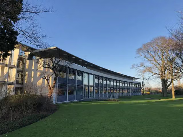 Het DepotMuseum · 175 m from the route
- 15
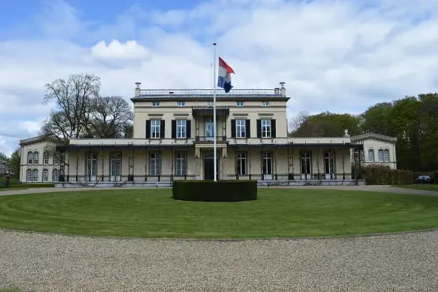 Koninklijk Tehuis voor Oud-Militairen en Museum BronbeekMuseum · 3.5 km from the route
- 16
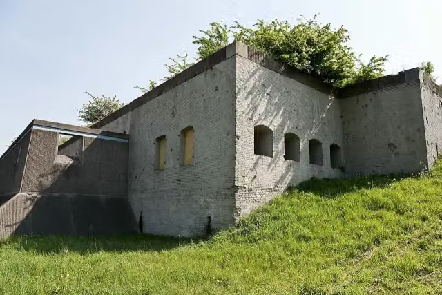 Fort WestervoortFort · 3.8 km from the route
- 17
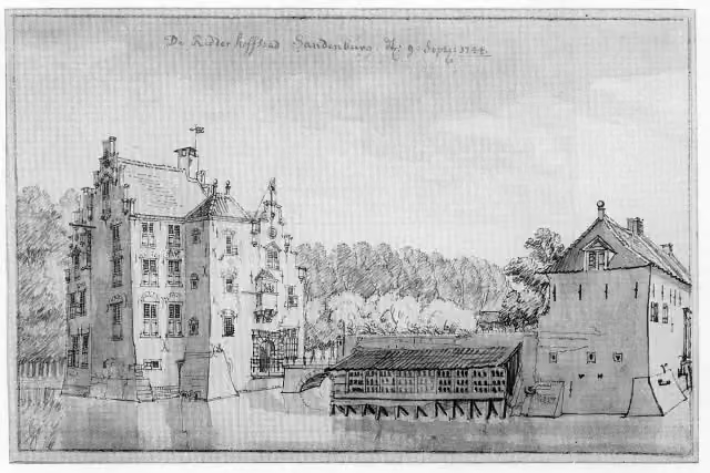 Kasteel SandenburgCastle · 8.1 km from the route
- 18
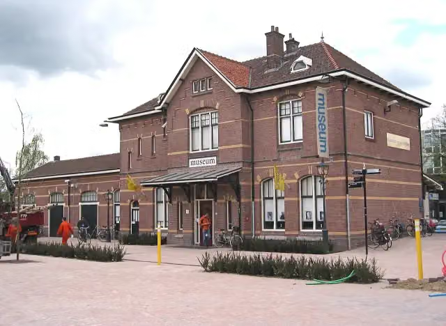 Historisch Museum EdeMuseum · 7.8 km from the route
- 19
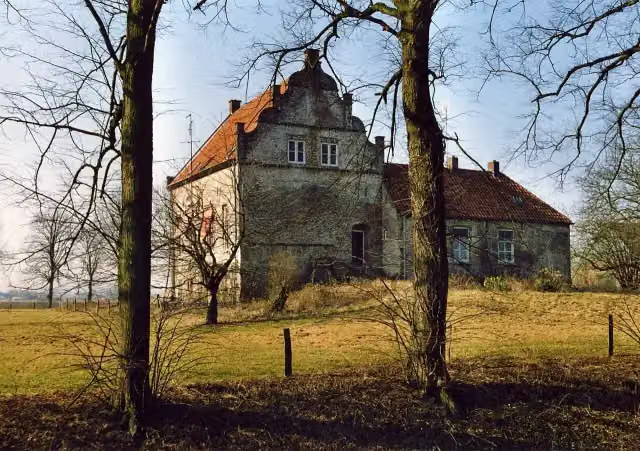 Huis te LathumCastle · 8.1 km from the route
- 20
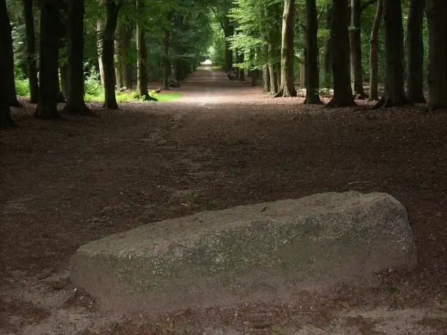 Blood StoneAttraction · 8.4 km from the route
- 21
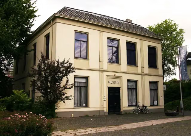 De Casteelse PoortMuseum · 171 m from the route
- 22
 Soldaat met bloemenmeisjeMemorial · 179 m from the route
- 23
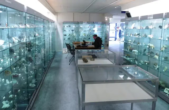 Gelders Geologisch MuseumMuseum · 5 km from the route
- 24
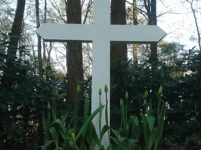 Het kruis op de bergMemorial · 1.4 km from the route
- 25
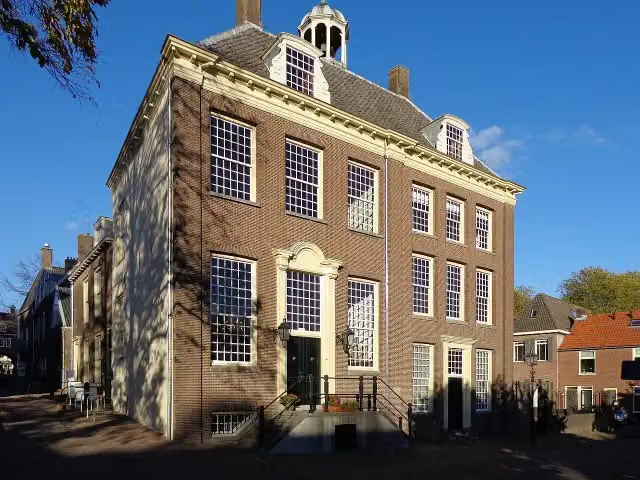 Stadsmuseum RhenenMuseum · 189 m from the route
Explore more
Frequently asked questions
How long is Midden-Nederlandroute - 05 - Amerongen - Arnhem?
Midden-Nederlandroute - 05 - Amerongen - Arnhem is 47.2 km long. Allow ± 3:10 h of riding: 15 km an hour, without breaks.
Is this route a circular ride?
No, the route starts and ends at different spots.
Where does this route start?
The route starts in Utrechtse Heuvelrug.
How hard is this route?
Moderate, with 232 m of climbing.
Are there toilets along this route?
No, there is no public toilet within 100 m of the route. Go before you start.
Can you fill up with water along this route?
Yes, there are 6 water fountains and refill points within 100 m of the route.
What is there to see along this route?
Along the way you pass Tabaksteeltmuseum and Hoornwerk aan de Grebbe.
Starting point
More routes from this place
Route data © OpenStreetMap contributors





