 Outdoor Pitstop
Cycle route · Utrechtse Heuvelrug · Updated on 6 November 2026
EuroVelo 2 - Nederland part 2 cycle route
EuroVelo 2 - Nederland part 2 is a cycle route of 144.5 km from Utrechtse Heuvelrug. Along the way you'll find 261 benches and picnic tables, 10 water fountains and refill points and 2 public toilets.
i
i
i
The route step by step
From start to finish, with what you pass along the way and the distance in between.
- 144.5 km
- ± 9:40 h
- ↑ 462 m · ↓ 446 m
- Hard
- From A to B
- International route
- Colour of the signs
Start in Utrechtse Heuvelrug
0 kmAt the start: water point.
202 m

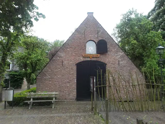
Tabaksteeltmuseum
202 mMuseum
1.2 km · 4 benches
Water point
1.4 km12.7 km · 21 benches
Water point
14.1 km375 m
Water point
14.4 km4.9 km · 9 benches
Hoornwerk aan de Grebbe
19.3 kmFort
27.7 km · 83 benches
2 water fountains and refill points
47 km352 m · 9 benches
Public toilet and water point
47.4 km1.2 km · 9 benches
Water point
48.6 km10.7 km · 20 benches
Public toilet and water point
59.3 km60.3 km · 95 benches
Water point
119.5 km25 km · 8 benches
Finish
144.5 km
Longest stretch without a toilet: 85.2 kmBetween 59.3 km and 144.5 km there is no public toilet within 100 m of the route.
The route with the pitstops and sights within 100 m of it.
2 sights along the way
In the order you pass them. With the Outdoor Pitstop app you hear their story on the spot.
Tabaksteeltmuseum
Museum · after 202 m
Hoornwerk aan de Grebbe
Fort · after 19.3 km
Elevation and terrain
- Up
- ↑ 462 m
- Down
- ↓ 446 m
- Highest point
- 101 m
- Lowest point
- 6 m
- 5-10% slope · 726 m
Elevation from AHN (Rijkswaterstaat), smoothed.
Way types
144.5 km in total- Road: 77.2 km
- Cycle path: 46.7 km
- Street: 10.3 km
- Track: 4.9 km
- Path: 3.2 km
- Busy road: 1.7 km
- Unknown: 75 m
Surfaces
144.5 km in total- Asphalt: 96.7 km
- Paved: 28.2 km
- Gravel: 10.7 km
- Unpaved: 475 m
- Natural: 50 m
- Unknown: 8 km
About the cycle route EuroVelo 2 - Nederland part 2
Updated on 6 November 2026, with data from OpenStreetMap and the AHN.
Where do you cycle?
EuroVelo 2 - Nederland part 2 is a cycle route of 144.5 km that starts in Utrechtse Heuvelrug. It does not end where it starts. Along the way you pass Tabaksteeltmuseum (after 202 m) and Hoornwerk aan de Grebbe (after 19.3 km).
How hard is the route?
You climb 462 m in total and descend 446 m. Allow ± 9:40 h, without breaks. The level is hard.
What roads do you cycle on?
The longest part is road (77.2 km), cycle path (46.7 km) and street (10.3 km). Of the surface, 96.7 km asphalt and 28.2 km paved. For 8 km the surface is not known.
Pitstops along the way
Within 100 metres of the route there are 261 benches and picnic tables, 10 water fountains and refill points and 2 public toilets. The longest stretch without a toilet is 85.2 km. The Outdoor Pitstop app navigates you there.
This second Dutch section of EuroVelo 2, the Capitals Route, is a cycle route of almost 145 km from Amerongen to the German border near Zwilbroek. You ride over the Utrechtse Heuvelrug to Rhenen, past the Hoornwerk aan de Grebbe fort, to Wageningen and through Heelsum, Doorwerth and Oosterbeek, with Park Hartenstein, to Arnhem and Rozendaal. The route then runs through Brummen, Bronkhorst and Vorden across the Achterhoek to Eibergen. With over 450 metres of climbing it is a hilly route by Dutch standards. We know of two toilets and ten water taps along the way.
Source: Wikipedia (CC BY-SA)
Part of EuroVelo 2 - Hoofdstedenroute - deel Nederland
Website of the routeCycle routes nearby
6- EuroVelo 2 - Nederland part 1Hard · From A to B148.3 km
- Midden-Nederlandroute - 05 - Amerongen - ArnhemModerate · From A to B47.2 km
- Midden-Nederlandroute - 04 - Utrecht - AmerongenModerate · From A to B39.5 km
- Rijnfietsroute - 03 - Amerongen - Wijk bij DuurstedeEasy · From A to B10.9 km
- Euroroute R1 - Meijendel - ZwillbrockHard · From A to B263.9 km
- Rijnfietsroute - 04 - Wijk bij Duurstede - GorinchemHard · From A to B60 km
Sights nearby
Within 10 km of the route, best known first.
- 1
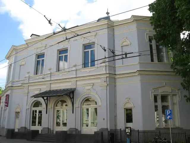 Museum ArnhemMuseum · 123 m from the route
- 2
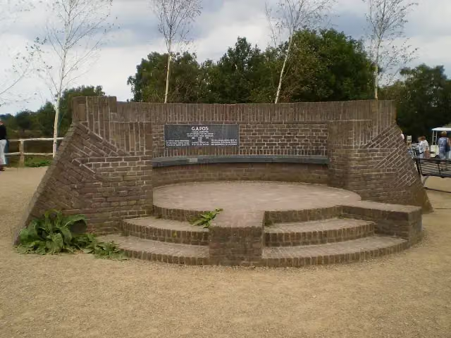 PosbankMemorial · 212 m from the route
- 3
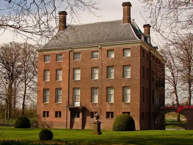 Kasteel AmerongenCastle · 238 m from the route
- 4
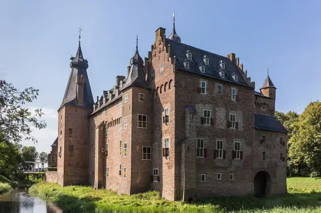 Kasteel DoorwerthCastle · 344 m from the route
- 5
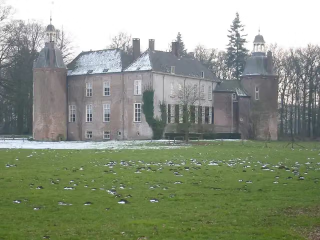 Kasteel HackfortCastle · 216 m from the route
- 6
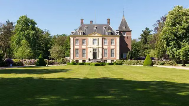 Huis VerwoldeCastle · 7.3 km from the route
- 7
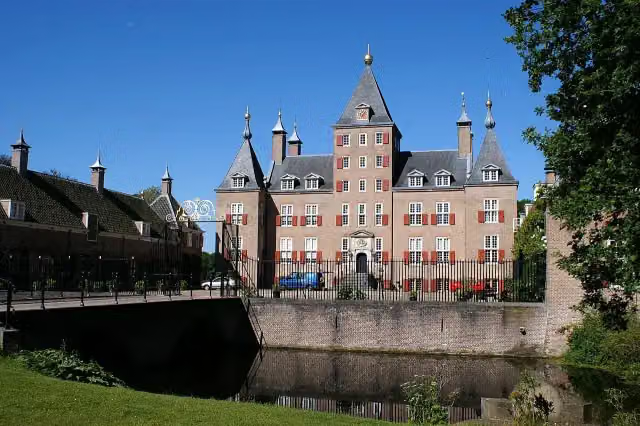 Kasteel RenswoudeCastle · 8.3 km from the route
- 8
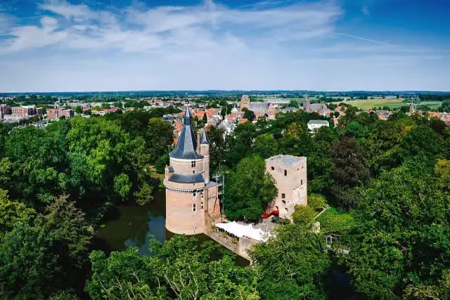 Duurstede CastleCastle · 8.5 km from the route
- 9
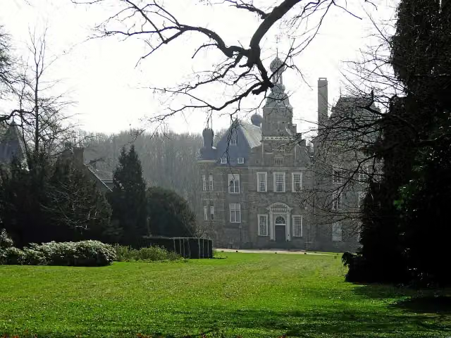 Kasteel KeppelCastle · 10 km from the route
- 10
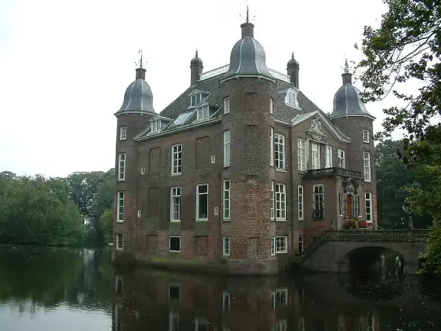 Kasteel BiljoenCastle · 2.3 km from the route
- 11
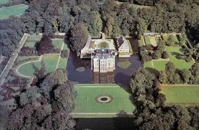 Kasteel MiddachtenCastle · 1.6 km from the route
- 12
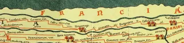 Castellum MeinerswijkArchaeological site · 1.7 km from the route
- 13
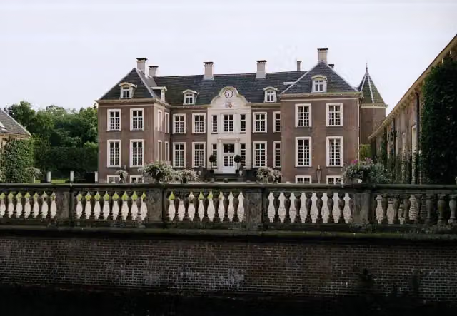 Kasteel AmpsenCastle · 4.4 km from the route
- 14
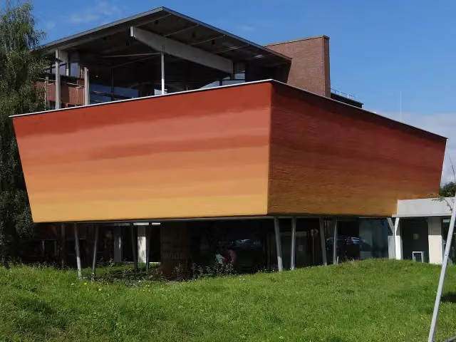 World Soil MuseumMuseum · 2.5 km from the route
- 15
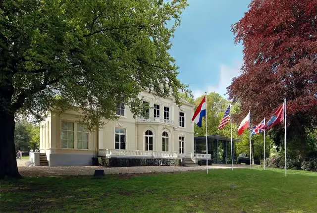 Airborne Museum 'Hartenstein'Museum · 142 m from the route
- 16
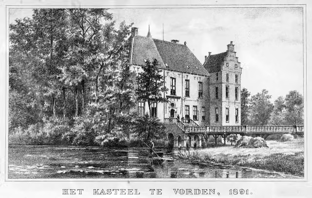 Kasteel VordenCastle · 730 m from the route
- 17
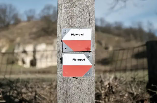 Halverwege PieterpadMemorial · 753 m from the route
- 18
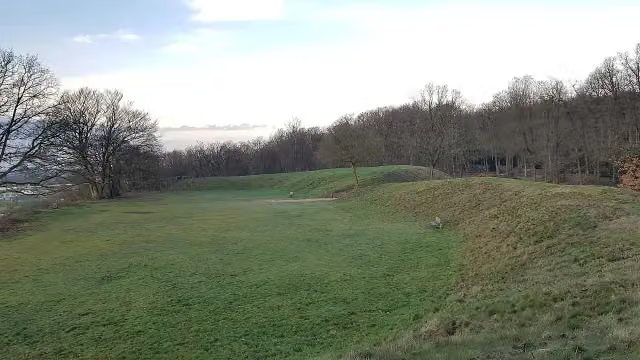 HunneschansArchaeological site · 814 m from the route
- 19
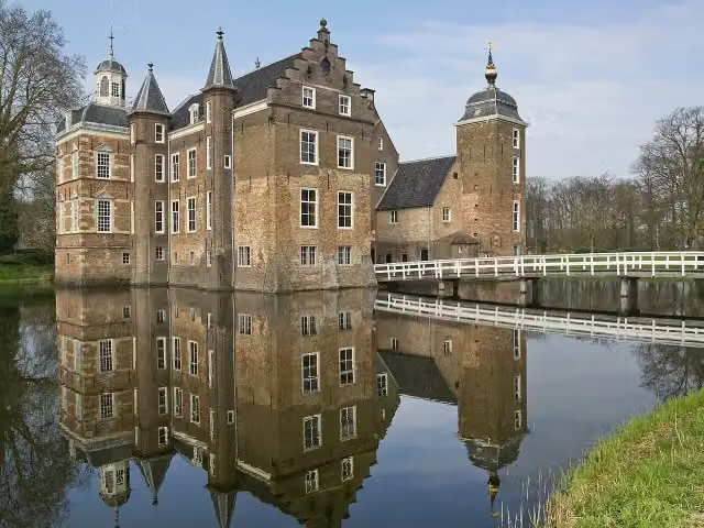 Kasteel Huize RuurloCastle · 5.2 km from the route
- 20
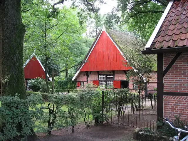 Achterhoeks OpenluchtmuseumMuseum · 6.3 km from the route
- 21
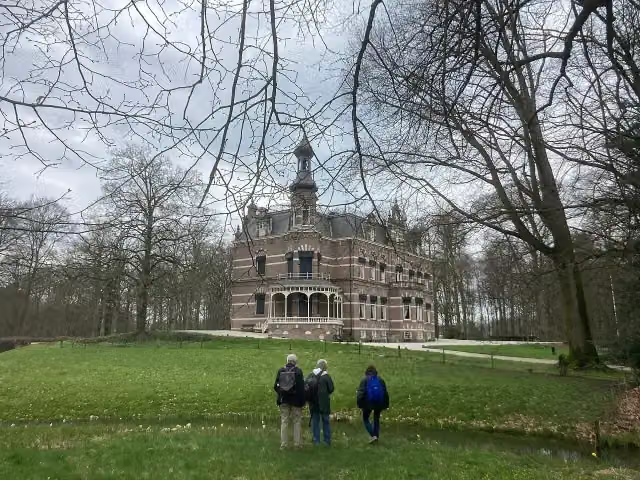 Kasteel 't SuiderasCastle · 349 m from the route
- 22
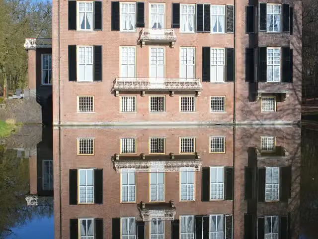 Huis ZypendaalCastle · 1.4 km from the route
- 23
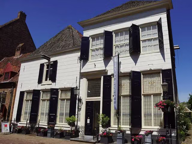 Lalique MuseumMuseum · 5.7 km from the route
- 24
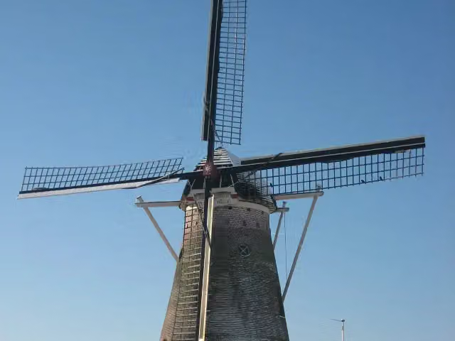 SevinkmolenAttraction · 6.8 km from the route
- 25
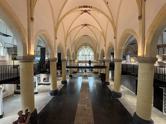 Nationaal Museum Tachtigjarige OorlogMuseum · 3.4 km from the route
Explore more
Frequently asked questions
How long is EuroVelo 2 - Nederland part 2?
EuroVelo 2 - Nederland part 2 is 144.5 km long. Allow ± 9:40 h of riding: 15 km an hour, without breaks.
Is this route a circular ride?
No, the route starts and ends at different spots.
Where does this route start?
The route starts in Utrechtse Heuvelrug.
How hard is this route?
Hard, with 462 m of climbing.
Are there toilets along this route?
Yes, there are 2 public toilets within 100 m of the route. The longest stretch without a toilet is 85.2 km.
Can you fill up with water along this route?
Yes, there are 10 water fountains and refill points within 100 m of the route.
What is there to see along this route?
Along the way you pass Tabaksteeltmuseum and Hoornwerk aan de Grebbe.
Starting point
More routes from this place
Route data © OpenStreetMap contributors





