 Outdoor Pitstop
Cycling guide De Ronde Venen · Updated on 5 November 2026
The best cycle routes in De Ronde Venen
De Ronde Venen has 3 cycle routes on the Outdoor Pitstop map. The 2 best are 35.8 km long on average. Along the way you find 222 benches and picnic tables, 10 water fountains and refill points and 4 public toilets in total.
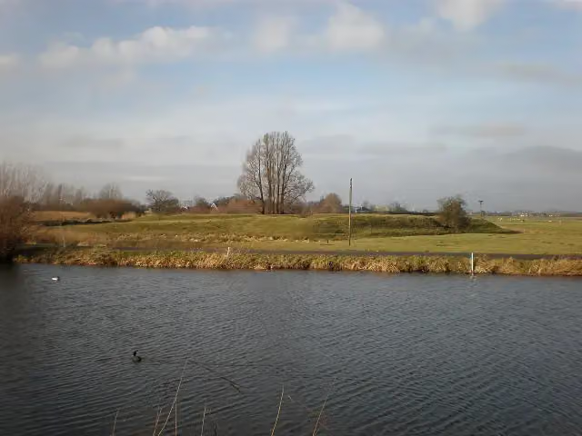
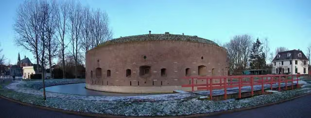
The 2 best cycle routes
In the order of our score: a photo, points of interest along the way, a toilet or water point, a circular ride, a description and how often people search for the route.
The best cycle route in De Ronde Venen is LF Waterlinieroute - 03 - Uithoorn - Naarden (47.8 km, moderate).
The numbers on the map are the routes below, at their starting point. Pitstops count up to 100 m from the route. Riding time assumes 15 km an hour, without breaks.
- 1
47.8 km · ± 3:10 h · ↗ 15 m · From A to B · start De Ronde Venen
2 public toilets7 water fountains and refill points122 benches and picnic tables
- 2
Electric Freeway
Easy23.8 km · ± 1:35 h · ↗ 34 m · From A to B · start Amsterdam
2 public toilets3 water fountains and refill points100 benches and picnic tables
All 1 cycle routes from De Ronde Venen, A to Z
Long-distance routes through De Ronde Venen
Rides of several days, in stages, like the Dutch LF routes and EuroVelo.
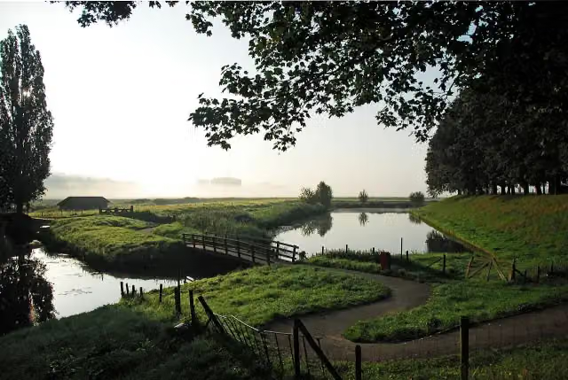
i
Photo: J.L. van Loon · Wikimedia Commons · CC BY-SA 3.0 nlView the photo on Wikimedia CommonsLF Waterlinieroute
407 km · From A to B
Points of interest along the cycle routes
Along the 2 best cycle routes.
- Story
Torenfort aan de Ossenmarkt
Fort · along 2 cycle routes
- Story
Batterijen aan het Gein
Fort · along 1 cycle route
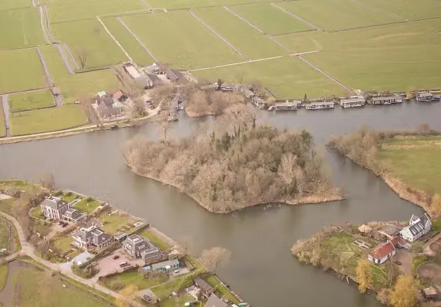 Audio story · 2 min
i
Photo: Johan Bakker · Wikimedia Commons · CC BY-SA 3.0 nlView the photo on Wikimedia CommonsFort Hinderdam
Fort · along 1 cycle route
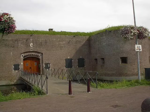 Audio story · 2 min
i
Photo: Marion Golsteijn · Wikimedia Commons · CC BY-SA 3.0View the photo on Wikimedia CommonsMouse Fort
Fort · along 1 cycle route
Cycle routes per place in Utrecht province
15 places have their own guide.
Explore further
Frequently asked questions
How many cycle routes are there in De Ronde Venen?
The Outdoor Pitstop map has 3 cycle routes in De Ronde Venen, including 1 long-distance route in stages.
What is the best cycle route in De Ronde Venen?
At the top of this guide is LF Waterlinieroute - 03 - Uithoorn - Naarden (47.8 km, moderate). Next come Electric Freeway.
Which cycle routes in De Ronde Venen have a toilet along the way?
In this guide, LF Waterlinieroute - 03 - Uithoorn - Naarden and Electric Freeway have a public toilet along the route.
Which long-distance routes run through De Ronde Venen?
Among others LF Waterlinieroute run through this area.
Popular nearby
Guides of places nearby





