 Outdoor Pitstop
Cycling guide Wageningen · Updated on 5 November 2026
The best cycle routes in Wageningen
Wageningen has 10 cycle routes on the Outdoor Pitstop map. The 5 best are 139 km long on average. Along the way you find 1,122 benches and picnic tables, 40 water fountains and refill points, 16 public toilets and 1 food stand in total.
i
i
The 5 best cycle routes
In the order of our score: a photo, points of interest along the way, a toilet or water point, a circular ride, a description and how often people search for the route.
The best cycle route in Wageningen is Midden-Nederlandroute - 05 - Amerongen - Arnhem (47.2 km, moderate).
The numbers on the map are the routes below, at their starting point. Pitstops count up to 100 m from the route. Riding time assumes 15 km an hour, without breaks.
- 1
i
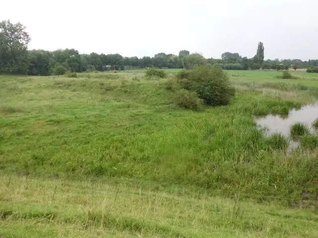
Photo: HenkvD · Wikimedia Commons · CC BY-SA 3.0View the photo on Wikimedia Commons47.2 km · ± 3:10 h · ↗ 232 m · From A to B · start Utrechtse Heuvelrug
0 public toilets6 water fountains and refill points126 benches and picnic tables
- 2
i
Photo: HenkvD · Wikimedia Commons · CC BY-SA 3.0View the photo on Wikimedia Commons144.5 km · ± 9:40 h · ↗ 462 m · From A to B · start Utrechtse Heuvelrug
2 public toilets10 water fountains and refill points261 benches and picnic tables
- 3
i
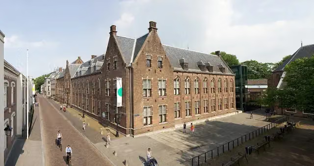
Photo: Centraal Museum / fotograaf: Vincent Zedelius · Wikimedia Commons · CC BY-SA 3.0View the photo on Wikimedia Commons263.9 km · ± 17:35 h · ↗ 512 m · From A to B · start Wassenaar
14 public toilets23 water fountains and refill points689 benches and picnic tables
- 4
Pico Bello Pad
Easy8.9 km · ± 35 min · ↗ 6 m · From A to B · start Ede
0 public toilets1 water point46 benches and picnic tables
- 5
230.5 km · ± 15:20 h · From A to B · start Katwijk
0 public toilets0 water fountains and refill points0 benches and picnic tables
Long-distance routes through Wageningen
Rides of several days, in stages, like the Dutch LF routes and EuroVelo.
i
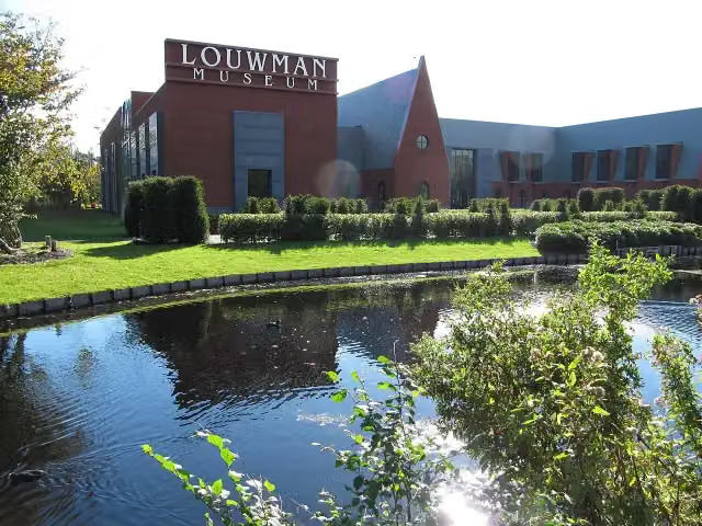
Photo: Michiel1972 · Wikimedia Commons · CC BY-SA 3.0View the photo on Wikimedia CommonsMidden-Nederlandroute
311.9 km · From A to B
i
Photo: Centraal Museum / fotograaf: Vincent Zedelius · Wikimedia Commons · CC BY-SA 3.0View the photo on Wikimedia CommonsEuroVelo 2 - Hoofdstedenroute - deel Nederland
292.8 km · From A to B
i
Photo: Centraal Museum / fotograaf: Vincent Zedelius · Wikimedia Commons · CC BY-SA 3.0View the photo on Wikimedia CommonsEuroparadweg R1
465.7 km · From A to B
i
Photo: Centraal Museum / fotograaf: Vincent Zedelius · Wikimedia Commons · CC BY-SA 3.0View the photo on Wikimedia CommonsEuroroute R1 - deel Nederland
460.9 km · From A to B
European Limes Cycling Route
230.5 km · From A to B
Points of interest along the cycle routes
Along the 5 best cycle routes.
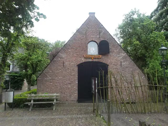
Tabaksteeltmuseum
Museum · along 3 cycle routes
Hoornwerk aan de Grebbe
Fort · along 3 cycle routes
 Story
i
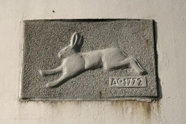
Photo: Quistnix at nl.wikipedia · Wikimedia Commons · CC BY-SA 2.5View the photo on Wikimedia CommonsMolen "de Haas"
Viewpoint · along 1 cycle route
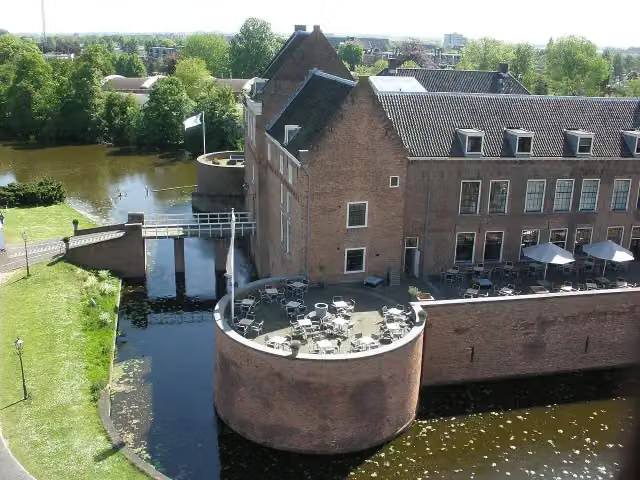
Kasteel van Woerden
Castle · along 1 cycle route
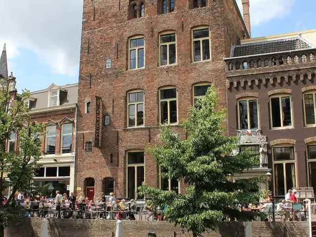
Kasteel Oudaen
Castle · along 1 cycle route
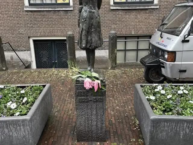
Anne Frank
Memorial · along 1 cycle route
Verzetsmonument
Memorial · along 1 cycle route
Paleis Lofen
Castle · along 1 cycle route
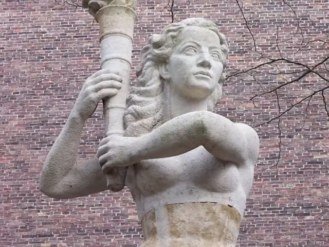
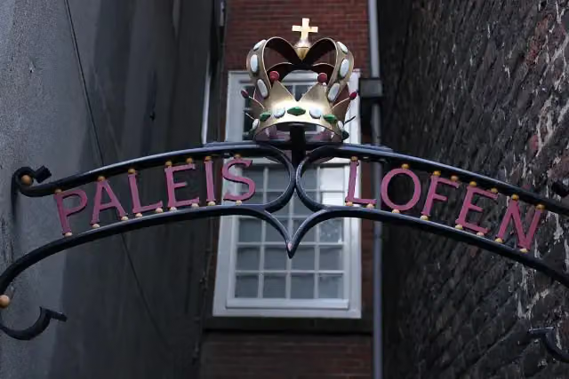
Cycle routes per place in Gelderland
34 places have their own guide.
- Aalten3 ›
- Apeldoorn3 ›
- Arnhem18 ›
- Berg en Dal11 ›
- Berkelland11 ›
- Bronckhorst15 ›
- Brummen14 ›
- Buren4 ›
- Doesburg3 ›
- Doetinchem3 ›
- Duiven9 ›
- Ede3 ›
- Elburg6 ›
- Heumen5 ›
- Lingewaard12 ›
- Lochem12 ›
- Maasdriel4 ›
- Nijkerk5 ›
- Nijmegen11 ›
- Oldebroek4 ›
- Oost Gelre3 ›
- Oude IJsselstreek3 ›
- Putten4 ›
- Renkum9 ›
- Rheden9 ›
- Rozendaal7 ›
- Voorst4 ›
- West Betuwe5 ›
- West Maas en Waal4 ›
- Westervoort3 ›
- Winterswijk6 ›
- Zaltbommel5 ›
- Zevenaar9 ›
- Zutphen7 ›
Explore further
Frequently asked questions
How many cycle routes are there in Wageningen?
The Outdoor Pitstop map has 10 cycle routes in Wageningen, including 5 long-distance routes in stages.
What is the best cycle route in Wageningen?
At the top of this guide is Midden-Nederlandroute - 05 - Amerongen - Arnhem (47.2 km, moderate). Next come EuroVelo 2 - Nederland part 2 and Euroroute R1 - Meijendel - Zwillbrock.
Which cycle routes in Wageningen have a toilet along the way?
In this guide, EuroVelo 2 - Nederland part 2 and Euroroute R1 - Meijendel - Zwillbrock have a public toilet along the route.
Which long-distance routes run through Wageningen?
Among others Midden-Nederlandroute, EuroVelo 2 - Hoofdstedenroute - deel Nederland, Europaradweg R1 and Euroroute R1 - deel Nederland run through this area.
Popular nearby
Guides of places nearby





