 Outdoor Pitstop
Cycling guide Lingewaard · Updated on 5 November 2026
The best cycle routes in Lingewaard
Lingewaard has 12 cycle routes on the Outdoor Pitstop map. The 6 best are 68.6 km long on average. Along the way you find 354 benches and picnic tables, 22 water fountains and refill points and 9 public toilets in total.
i
i
i
The 6 best cycle routes
In the order of our score: a photo, points of interest along the way, a toilet or water point, a circular ride, a description and how often people search for the route.
The best cycle route in Lingewaard is Hanzeroute - 03 - Zutphen - Millingen (58.7 km, moderate).
The numbers on the map are the routes below, at their starting point. Pitstops count up to 100 m from the route. Riding time assumes 15 km an hour, without breaks.
- 1
i
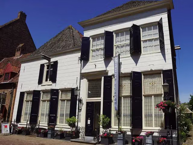
Photo: Otter · Wikimedia Commons · CC BY-SA 4.0View the photo on Wikimedia Commons58.7 km · ± 3:55 h · ↗ 34 m · From A to B · start Zutphen
2 public toilets2 water fountains and refill points120 benches and picnic tables
- 2
i
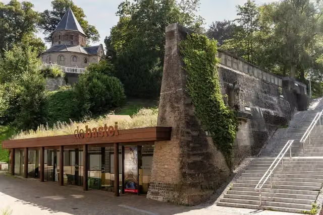
Photo: Stichting De Bastei · Wikimedia Commons · CC BY-SA 4.0View the photo on Wikimedia CommonsLF3 Maasroute
Hard60.6 km · ± 4:00 h · ↗ 122 m · From A to B · start Mook en Middelaar
3 public toilets13 water fountains and refill points118 benches and picnic tables
- 3
i
Photo: Stichting De Bastei · Wikimedia Commons · CC BY-SA 4.0View the photo on Wikimedia Commons20.5 km · ± 1:20 h · ↗ 7 m · From A to B · start Berg en Dal
0 public toilets3 water fountains and refill points20 benches and picnic tables
- 4
i
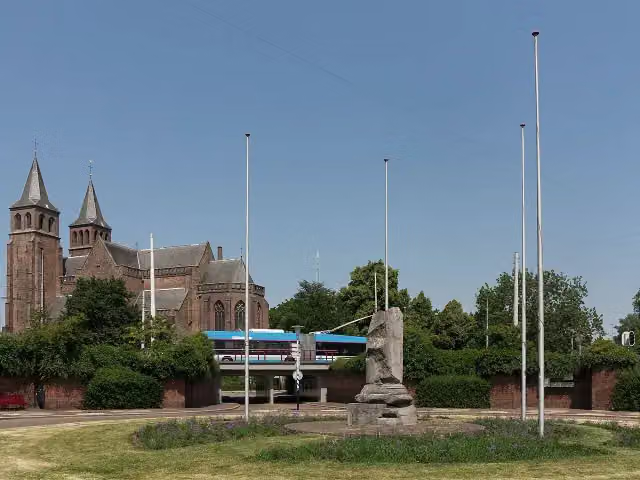
Photo: Michielverbeek · Wikimedia Commons · CC BY-SA 4.0View the photo on Wikimedia Commons17.9 km · ± 1:10 h · ↗ 30 m · From A to B · start Arnhem
4 public toilets3 water fountains and refill points53 benches and picnic tables
- 5
i
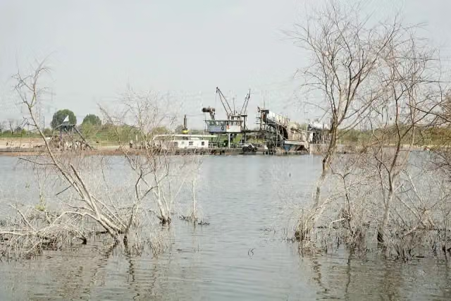
Photo: Bert van As · Wikimedia Commons · CC BY-SA 4.0View the photo on Wikimedia Commons23.4 km · ± 1:35 h · ↗ 27 m · From A to B · start Berg en Dal
0 public toilets1 water point43 benches and picnic tables
- 6
230.5 km · ± 15:20 h · From A to B · start Katwijk
0 public toilets0 water fountains and refill points0 benches and picnic tables
Long-distance routes through Lingewaard
Rides of several days, in stages, like the Dutch LF routes and EuroVelo.
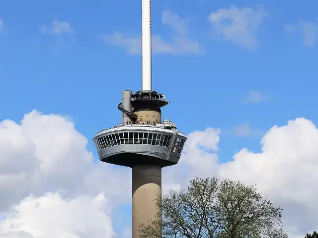
i
Photo: W. Bulach · Wikimedia Commons · CC BY-SA 4.0View the photo on Wikimedia CommonsEuroVelo 15 - Rheinradweg
262.9 km · From A to B
i
Photo: Michielverbeek · Wikimedia Commons · CC BY-SA 4.0View the photo on Wikimedia CommonsRijnWaalpad
22.6 km · From A to B
i
Photo: Otter · Wikimedia Commons · CC BY-SA 4.0View the photo on Wikimedia CommonsHanzeroute
140.6 km · From A to B
i
Photo: W. Bulach · Wikimedia Commons · CC BY-SA 4.0View the photo on Wikimedia CommonsEuroVelo 15 - Rijnfietsroute - deel Nederland
261.5 km · From A to B
i
Photo: Stichting De Bastei · Wikimedia Commons · CC BY-SA 4.0View the photo on Wikimedia CommonsRijnfietsroute
282.1 km · From A to B
European Limes Cycling Route
230.5 km · From A to B
Points of interest along the cycle routes
Along the 6 best cycle routes.
- Story
i
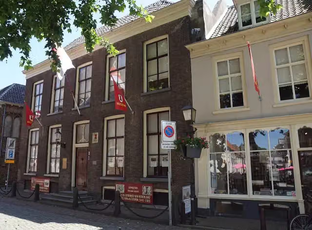
Photo: Stichting De Bastei · Wikimedia Commons · CC BY-SA 4.0View the photo on Wikimedia CommonsMuseum De Bastei
Museum · along 2 cycle routes
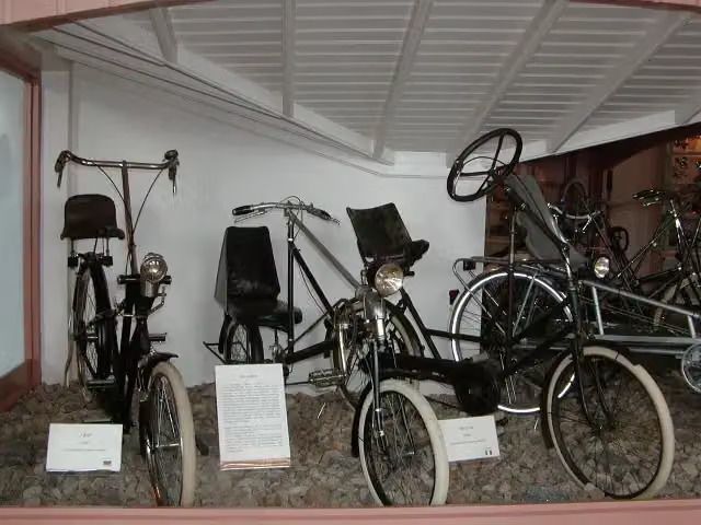 Audio story · 2 min
i
Photo: Eva K. / Eva K. · Wikimedia Commons · CC BY-SA 2.5View the photo on Wikimedia CommonsNationaal Fietsmuseum Velorama
Museum · along 2 cycle routes
Lalique Museum
Museum · along 1 cycle route
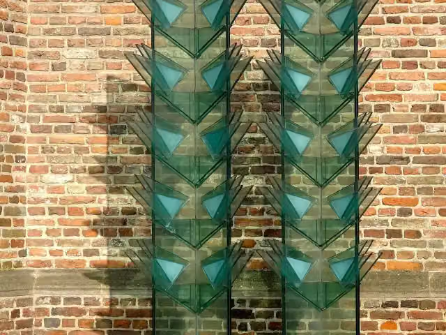 Story
Vredesmonument
Memorial · along 1 cycle route
Streekmuseum De Roode Tooren
Museum · along 1 cycle route
Airborne monument
Memorial · along 1 cycle route
 Story
Memorial · along 1 cycle route
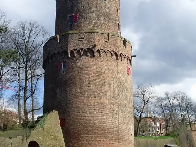
Ruins · along 1 cycle route
Cycle routes per place in Gelderland
34 places have their own guide.
- Aalten3 ›
- Apeldoorn3 ›
- Arnhem18 ›
- Berg en Dal11 ›
- Berkelland11 ›
- Bronckhorst15 ›
- Brummen14 ›
- Buren4 ›
- Doesburg3 ›
- Doetinchem3 ›
- Duiven9 ›
- Ede3 ›
- Elburg6 ›
- Heumen5 ›
- Lochem12 ›
- Maasdriel4 ›
- Nijkerk5 ›
- Nijmegen11 ›
- Oldebroek4 ›
- Oost Gelre3 ›
- Oude IJsselstreek3 ›
- Putten4 ›
- Renkum9 ›
- Rheden9 ›
- Rozendaal7 ›
- Voorst4 ›
- Wageningen10 ›
- West Betuwe5 ›
- West Maas en Waal4 ›
- Westervoort3 ›
- Winterswijk6 ›
- Zaltbommel5 ›
- Zevenaar9 ›
- Zutphen7 ›
Explore further
Frequently asked questions
How many cycle routes are there in Lingewaard?
The Outdoor Pitstop map has 12 cycle routes in Lingewaard, including 6 long-distance routes in stages.
What is the best cycle route in Lingewaard?
At the top of this guide is Hanzeroute - 03 - Zutphen - Millingen (58.7 km, moderate). Next come LF3 Maasroute and Rijnfietsroute - Waalvariant.
Which cycle routes in Lingewaard have a toilet along the way?
In this guide, Hanzeroute - 03 - Zutphen - Millingen, LF3 Maasroute and RijnWaalpad - hoofdroute have a public toilet along the route.
Which long-distance routes run through Lingewaard?
Among others EuroVelo 15 - Rheinradweg, RijnWaalpad, Hanzeroute and EuroVelo 15 - Rijnfietsroute - deel Nederland run through this area.
Popular nearby
Guides of places nearby





