 Outdoor Pitstop
Cycle route · Arnhem · Updated on 6 November 2026
RijnWaalpad - hoofdroute cycle route
RijnWaalpad - hoofdroute is a cycle route of 17.9 km from Arnhem. Along the way you'll find 53 benches and picnic tables, 3 water fountains and refill points and 4 public toilets.
i
i
The route step by step
From start to finish, with what you pass along the way and the distance in between.
- 17.9 km
- ± 1:10 h
- ↑ 30 m · ↓ 22 m
- Easy
- From A to B
- Regional route
Start in Arnhem
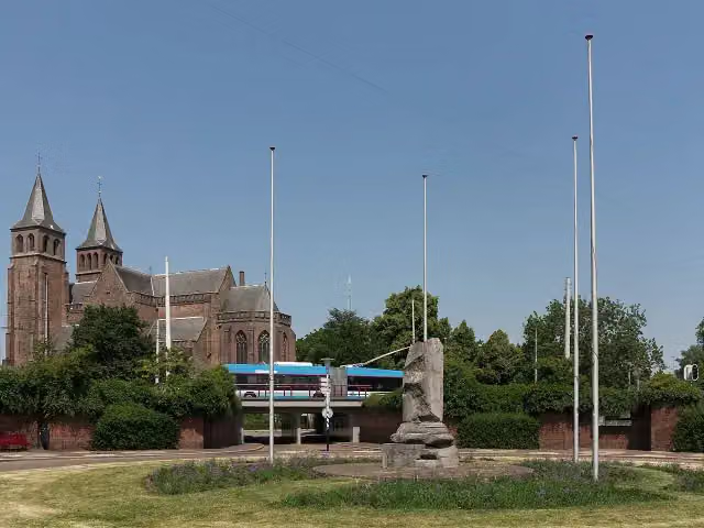
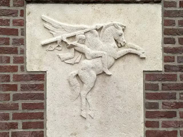
0 kmAt the start: Airborne monument and Airborne-embleem.
6.2 km · 27 benches
Public toilet
6.2 km155 m
Public toilet
6.3 km410 m

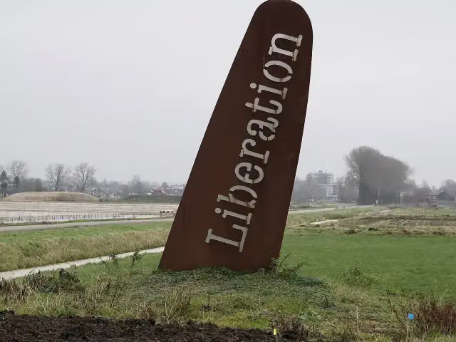
The Wing
6.8 kmMemorial
9.7 km · 17 benches
Public toilet and water point
16.5 km1.4 km · 4 benches
Finish
17.9 kmAt the finish: public toilet and 2 water fountains and refill points.
Longest stretch without a toilet: 10.1 kmBetween 6.3 km and 16.5 km there is no public toilet within 100 m of the route.
The route with the pitstops and sights within 100 m of it.
3 sights along the way
In the order you pass them. With the Outdoor Pitstop app you hear their story on the spot.
Airborne monument
Memorial · after 0 m
i
Photo: FakirNL · Wikimedia Commons · CC BY-SA 4.0View the photo on Wikimedia CommonsMemorial · after 0 m
i
Photo: Marczoutendijk · Wikimedia Commons · CC BY-SA 4.0View the photo on Wikimedia CommonsMemorial · after 6.8 km
Elevation and terrain
- Up
- ↑ 30 m
- Down
- ↓ 22 m
- Highest point
- 24 m
- Lowest point
- 8 m
Nowhere steeper than 5%.
Elevation from AHN (Rijkswaterstaat), smoothed.
Way types
17.9 km in total- Cycle path: 14.5 km
- Road: 2 km
- Street: 1.4 km
Surfaces
17.9 km in total- Asphalt: 17.5 km
- Paved: 225 m
- Unknown: 75 m
About the cycle route RijnWaalpad - hoofdroute
Updated on 6 November 2026, with data from OpenStreetMap and the AHN.
Where do you cycle?
RijnWaalpad - hoofdroute is a cycle route of 17.9 km that starts in Arnhem. It does not end where it starts. You start in Arnhem and finish in Nijmegen. Along the way you pass Airborne monument (after 0 m), Airborne-embleem (after 0 m) and The Wing (after 6.8 km).
How hard is the route?
You climb 30 m in total and descend 22 m. Allow ± 1:10 h, without breaks. The level is easy.
What roads do you cycle on?
The longest part is cycle path (14.5 km), road (2 km) and street (1.4 km). Of the surface, 17.5 km asphalt and 225 m paved. For 75 m the surface is not known.
Pitstops along the way
Within 100 metres of the route there are 53 benches and picnic tables, 3 water fountains and refill points and 4 public toilets. You can fill your bottle after 16.5 km and at the finish. The longest stretch without a toilet is 10.1 km. The Outdoor Pitstop app navigates you there.
The RijnWaalpad (F325) is a cycle superhighway of almost 18 km from Arnhem to Nijmegen, through the municipalities of Overbetuwe and Lingewaard. You ride through Elden, Ressen and Lent on a separate cycle path where you rarely wait at traffic lights; a cycle tunnel under the A15, a cycle bridge at Lent and a tunnel at Ressen were built for it. Along the way are the Airborne memorial and the De Vleugel memorial. Almost all of it is asphalt. We know of four toilets and three water taps along the route. It opened in 2015.
Source: Wikipedia (CC BY-SA)
Part of RijnWaalpad
Website of the routeCycle routes nearby
6- De LiemersEasy · From A to B13.4 km
- EuroVelo 2 - Nederland part 2Hard · From A to B144.5 km
- Midden-Nederlandroute - 06 - Arnhem - DierenModerate · From A to B33.4 km
- Euroroute R1 - Meijendel - ZwillbrockHard · From A to B263.9 km
- LF3 MaasrouteHard · From A to B60.6 km
- Rijnfietsroute - 01 - Millingen - ArnhemEasy · From A to B23.4 km
Sights nearby
Within 10 km of the route, best known first.
- 1
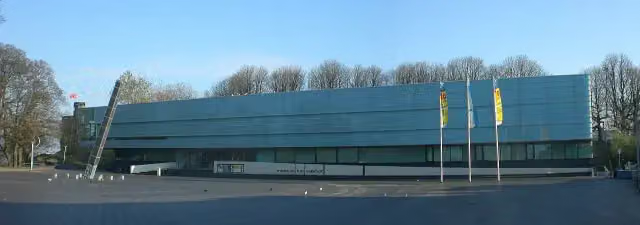 Valkhof MuseumMuseum · 1.1 km from the route
- 2
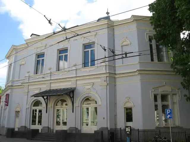 Museum ArnhemMuseum · 1.7 km from the route
- 3
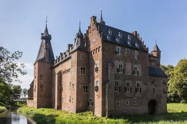 Kasteel DoorwerthCastle · 7 km from the route
- 4
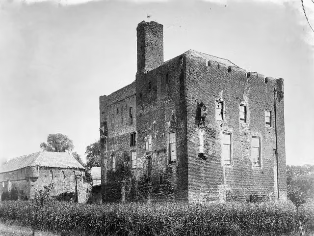 Kasteel DoornenburgAttraction · 8.6 km from the route
- 5
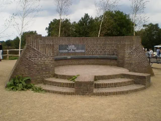 PosbankMemorial · 9.2 km from the route
- 6
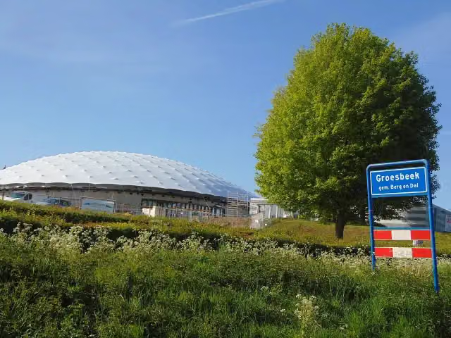 Freedom MuseumMuseum · 8.6 km from the route
- 7
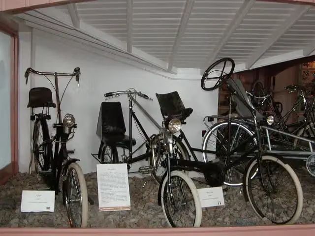 Nationaal Fietsmuseum VeloramaMuseum · 982 m from the route
- 8
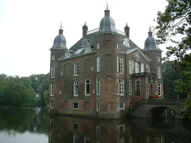 Kasteel BiljoenCastle · 5.7 km from the route
- 9
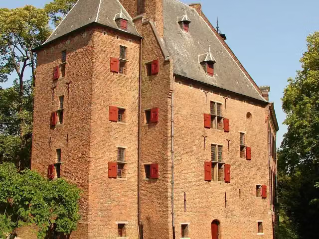 De KinkelenburgCastle · 1.5 km from the route
- 10
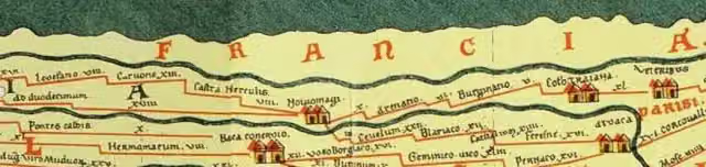 Castellum MeinerswijkArchaeological site · 1.9 km from the route
- 11
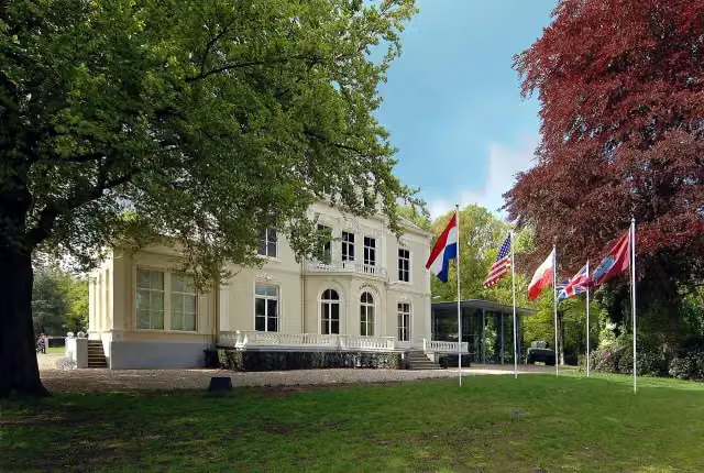 Airborne Museum 'Hartenstein'Museum · 5.1 km from the route
- 12
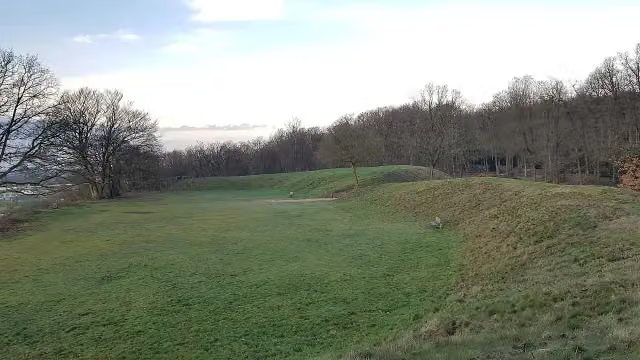 HunneschansArchaeological site · 5.5 km from the route
- 13
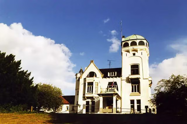 Jachtslot De MookerheideCastle · 8.4 km from the route
- 14
 MuZIEumMuseum · 613 m from the route
- 15
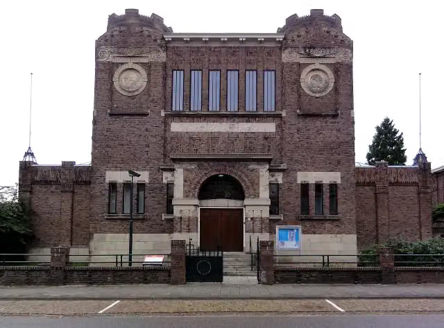 Museum KamMuseum · 1.6 km from the route
- 16
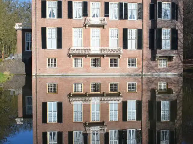 Huis ZypendaalCastle · 2.7 km from the route
- 17
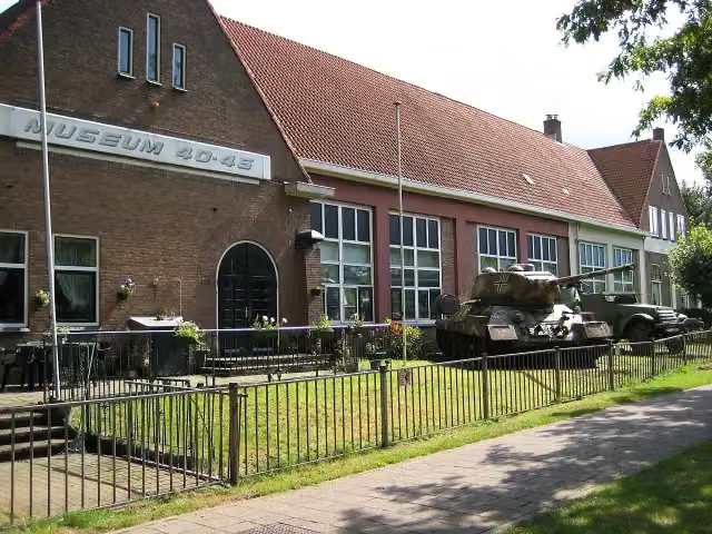 Arnhem War Museum 40 - 45Museum · 6.1 km from the route
- 18
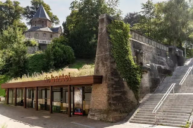 Museum De BasteiMuseum · 949 m from the route
- 19
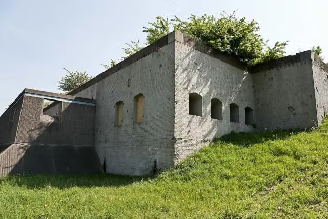 Fort WestervoortFort · 2.9 km from the route
- 20
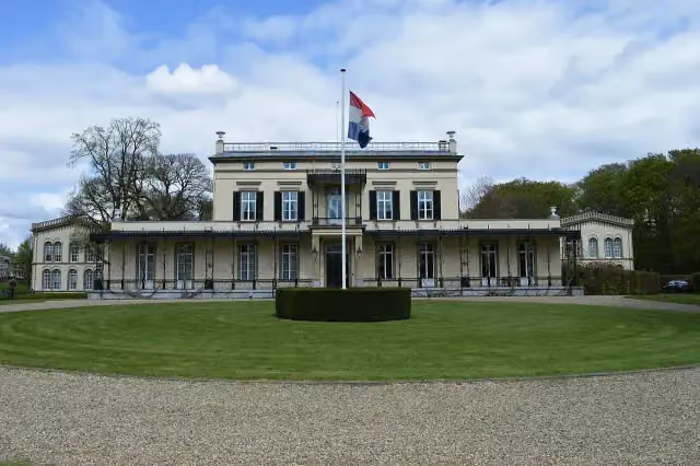 Koninklijk Tehuis voor Oud-Militairen en Museum BronbeekMuseum · 3.1 km from the route
- 21
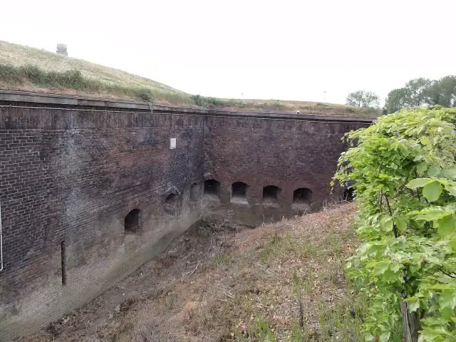 Fort Boven-LentAttraction · 844 m from the route
- 22
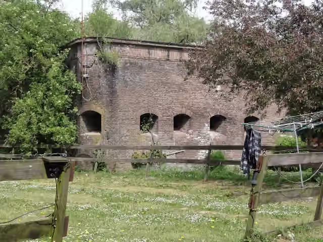 Fort Beneden LentFort · 539 m from the route
- 23
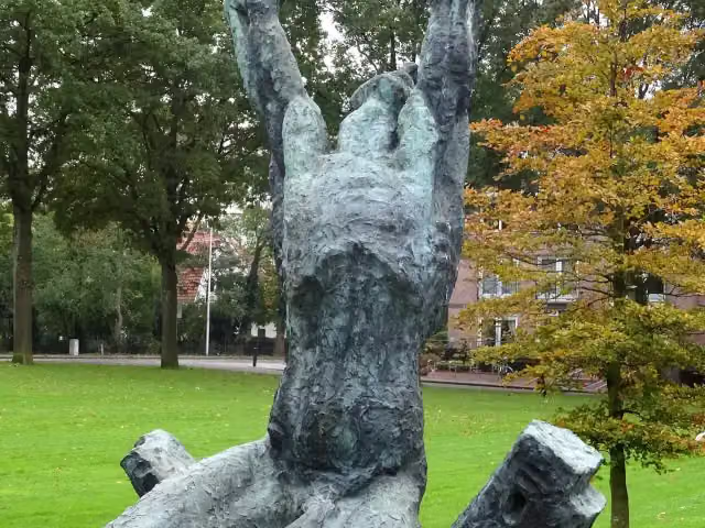 Waarom ik?Memorial · 1.6 km from the route
- 24
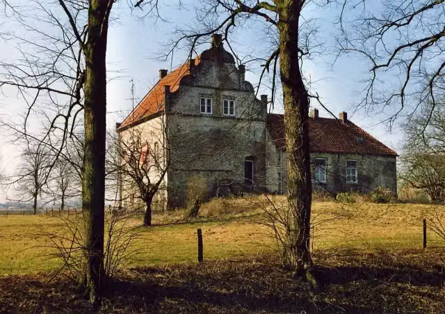 Huis te LathumCastle · 7.3 km from the route
- 25
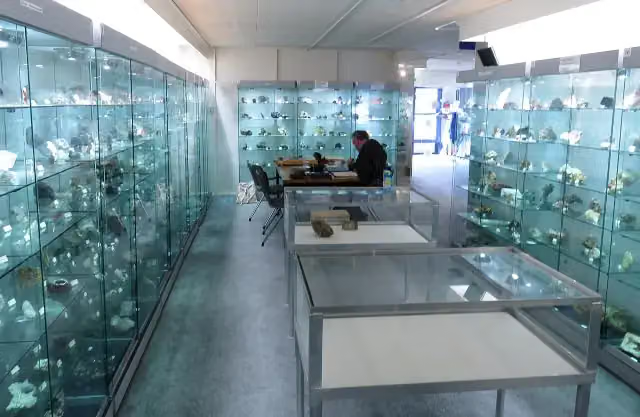 Gelders Geologisch MuseumMuseum · 4.5 km from the route
Explore more
Frequently asked questions
How long is RijnWaalpad - hoofdroute?
RijnWaalpad - hoofdroute is 17.9 km long. Allow ± 1:10 h of riding: 15 km an hour, without breaks.
Is this route a circular ride?
No, the route runs from Arnhem to Nijmegen.
Where does this route start?
The route starts in Arnhem.
How hard is this route?
Easy, with 30 m of climbing.
Are there toilets along this route?
Yes, there are 4 public toilets within 100 m of the route. The longest stretch without a toilet is 10.1 km.
Can you fill up with water along this route?
Yes, there are 3 water fountains and refill points within 100 m of the route.
What is there to see along this route?
Along the way you pass Airborne monument, Airborne-embleem and The Wing.
Starting point
More routes from this place
Route data © OpenStreetMap contributors





