 Outdoor Pitstop
Cycle route · Arnhem · Updated on 6 November 2026
Midden-Nederlandroute - 06 - Arnhem - Dieren cycle route
Midden-Nederlandroute - 06 - Arnhem - Dieren is a cycle route of 33.4 km from Arnhem. Along the way you'll find 63 benches and picnic tables, 4 water fountains and refill points and 2 public toilets.
i
i
i
The route step by step
From start to finish, with what you pass along the way and the distance in between.
- 33.4 km
- ± 2:15 h
- ↑ 205 m · ↓ 216 m
- Moderate
- From A to B
- National route
Start in Arnhem
0 kmAt the start: water point.
230 m · 4 benches
Public toilet and water point
230 m1.2 km · 9 benches
Water point
1.5 km10.7 km · 20 benches
Public toilet and water point
12.1 km21.3 km · 28 benches
Finish
33.4 km
Longest stretch without a toilet: 21.3 kmBetween 12.1 km and 33.4 km there is no public toilet within 100 m of the route.
The route with the pitstops and sights within 100 m of it.
Elevation and terrain
- Up
- ↑ 205 m
- Down
- ↓ 216 m
- Highest point
- 101 m
- Lowest point
- 9 m
- 5-10% slope · 336 m
Elevation from AHN (Rijkswaterstaat), smoothed.
Way types
33.4 km in total- Cycle path: 15.3 km
- Road: 12.8 km
- Street: 3.3 km
- Track: 1.6 km
- Busy road: 300 m
Surfaces
33.4 km in total- Asphalt: 16.2 km
- Paved: 15.3 km
- Gravel: 600 m
- Unknown: 1.2 km
About the cycle route Midden-Nederlandroute - 06 - Arnhem - Dieren
Updated on 6 November 2026, with data from OpenStreetMap and the AHN.
Where do you cycle?
Midden-Nederlandroute - 06 - Arnhem - Dieren is a cycle route of 33.4 km that starts in Arnhem. It does not end where it starts.
How hard is the route?
You climb 205 m in total and descend 216 m. Allow ± 2:15 h, without breaks. The level is moderate.
What roads do you cycle on?
The longest part is cycle path (15.3 km), road (12.8 km) and street (3.3 km). Of the surface, 16.2 km asphalt and 15.3 km paved. For 1.2 km the surface is not known.
Pitstops along the way
Within 100 metres of the route there are 63 benches and picnic tables, 4 water fountains and refill points and 2 public toilets. You can fill your bottle at the start, after 230 m, after 1.5 km and after 12.1 km. The longest stretch without a toilet is 21.3 km. The Outdoor Pitstop app navigates you there.
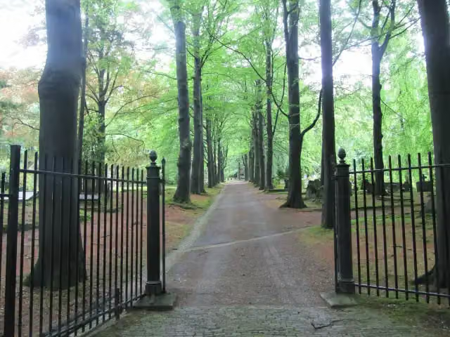
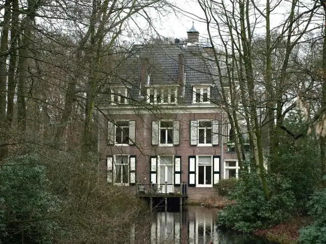
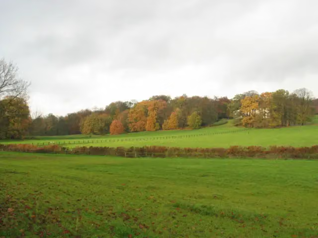
This stage of the Midden-Nederlandroute (LF4) is a cycle route of about 33 km from Arnhem to Dieren. You ride through Sonsbeek park in Arnhem, past the castle garden of Rosendael in Rozendaal, through the Rozendaalse Bos and across the Veluwezoom, and by way of Hof te Dieren and the Soerense Broek to Dieren. With over 200 metres of climbing it is a hilly stage by Dutch standards. Almost all of it is asphalt or paved and about half is cycle path. We know of two toilets and four water taps on the way, but no bike pump. The full LF4 runs for some 300 km from The Hague to Enschede.
Source: Wikipedia (CC BY-SA)
Part of Midden-Nederlandroute
Website of the routeCycle routes nearby
6- LF3 MaasrouteHard · From A to B60.6 km
- RijnWaalpad - zijtak Nelson Mandela BrugEasy · From A to B3.3 km
- EuroVelo 2 - Nederland part 2Hard · From A to B144.5 km
- Midden-Nederlandroute - 05 - Amerongen - ArnhemModerate · From A to B47.2 km
- Rijnfietsroute - 01 - Millingen - ArnhemEasy · From A to B23.4 km
- Euroroute R1 - Meijendel - ZwillbrockHard · From A to B263.9 km
Sights nearby
Within 10 km of the route, best known first.
- 1
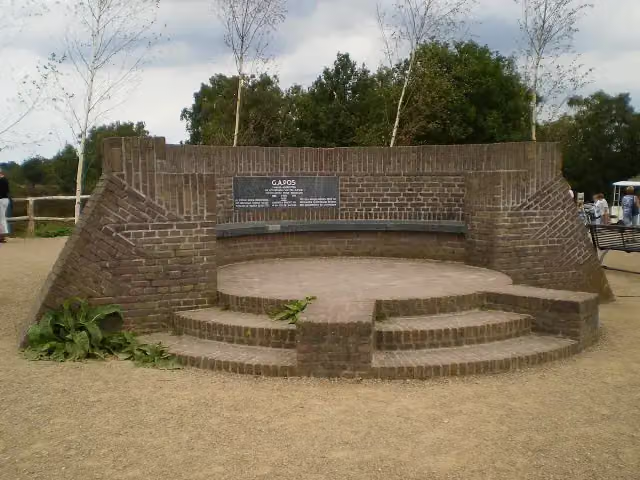 PosbankMemorial · 212 m from the route
- 2
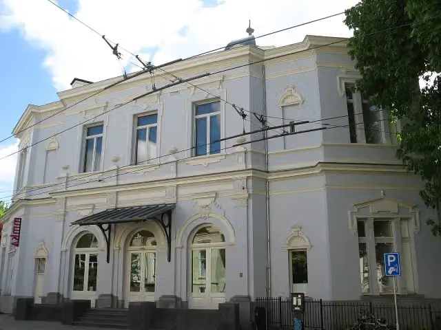 Museum ArnhemMuseum · 814 m from the route
- 3
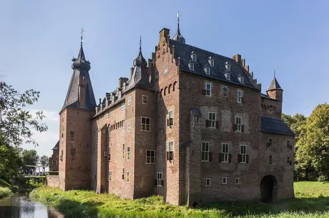 Kasteel DoorwerthCastle · 8.1 km from the route
- 4
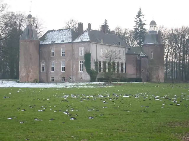 Kasteel HackfortCastle · 8.3 km from the route
- 5
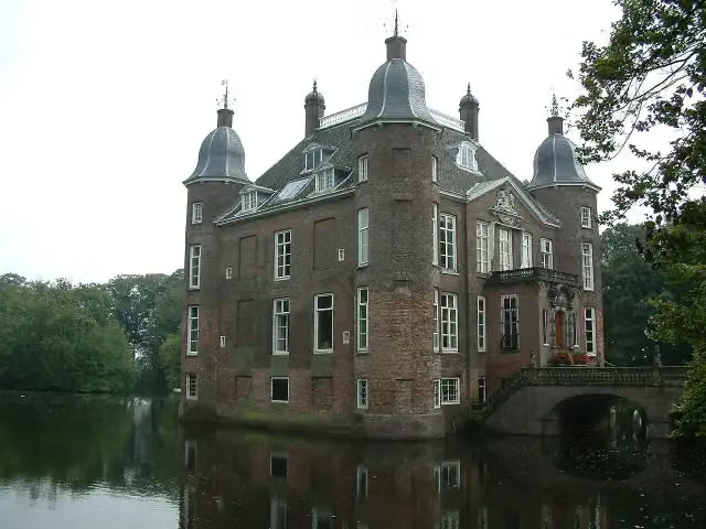 Kasteel BiljoenCastle · 2.3 km from the route
- 6
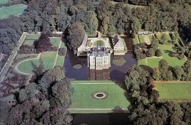 Kasteel MiddachtenCastle · 1.6 km from the route
- 7
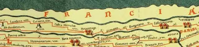 Castellum MeinerswijkArchaeological site · 2.4 km from the route
- 8
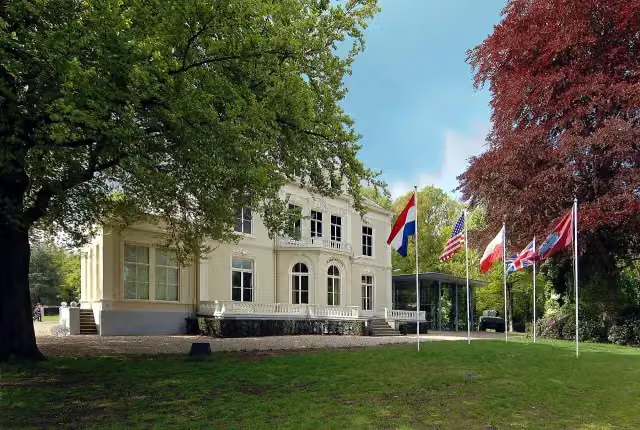 Airborne Museum 'Hartenstein'Museum · 4.9 km from the route
- 9
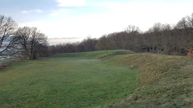 HunneschansArchaeological site · 6.4 km from the route
- 10
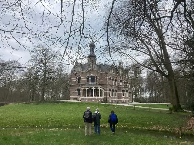 Kasteel 't SuiderasCastle · 6.5 km from the route
- 11
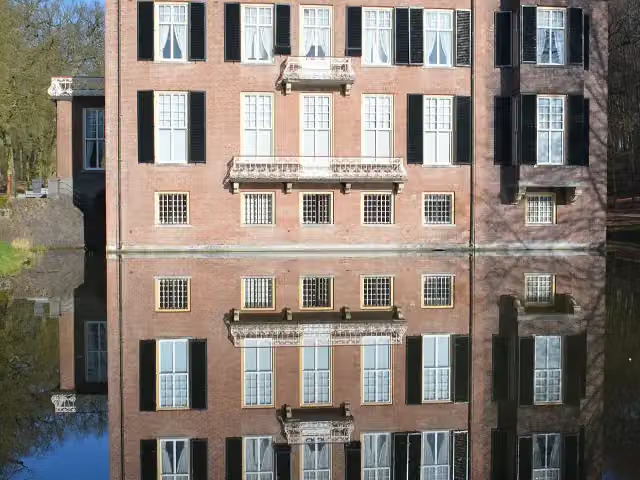 Huis ZypendaalCastle · 1.7 km from the route
- 12
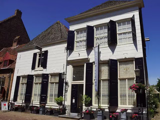 Lalique MuseumMuseum · 5.7 km from the route
- 13
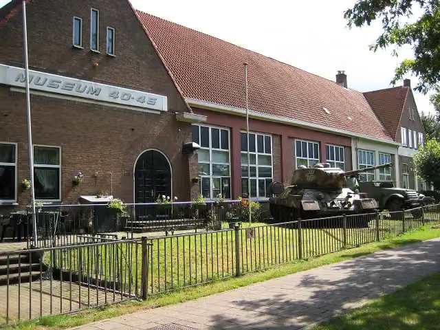 Arnhem War Museum 40 - 45Museum · 5 km from the route
- 14
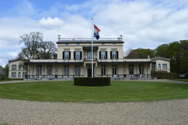 Koninklijk Tehuis voor Oud-Militairen en Museum BronbeekMuseum · 714 m from the route
- 15
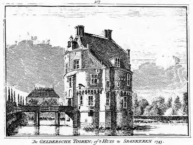 Gelderse TorenCastle · 1.7 km from the route
- 16
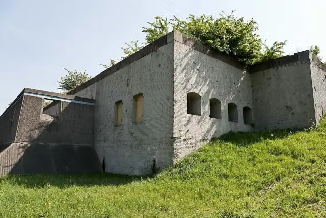 Fort WestervoortFort · 2.8 km from the route
- 17
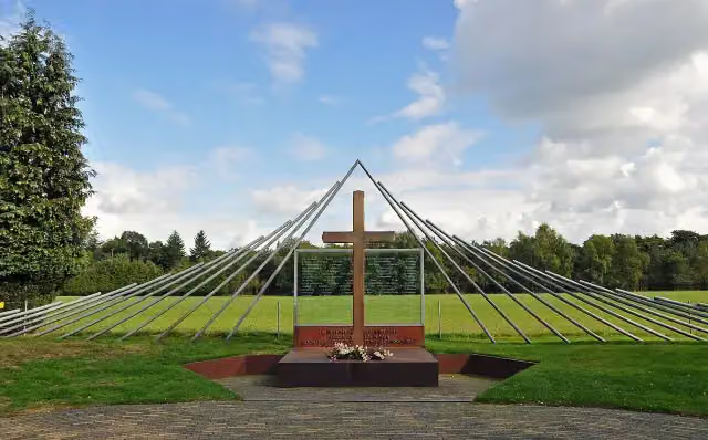 Monument Woeste HoeveMemorial · 6.6 km from the route
- 18
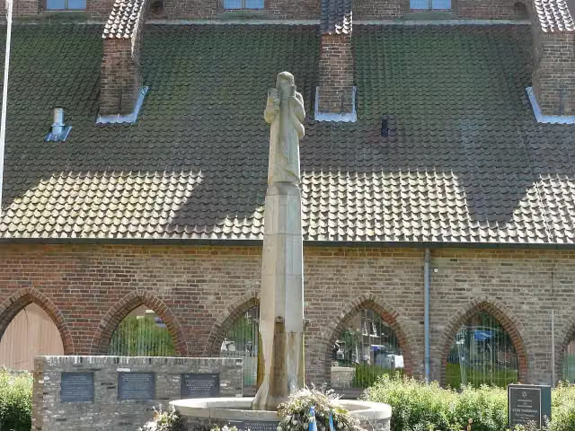 Gideon-monumentMemorial · 6.7 km from the route
- 19
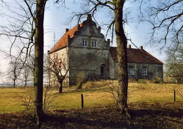 Huis te LathumCastle · 4.7 km from the route
- 20
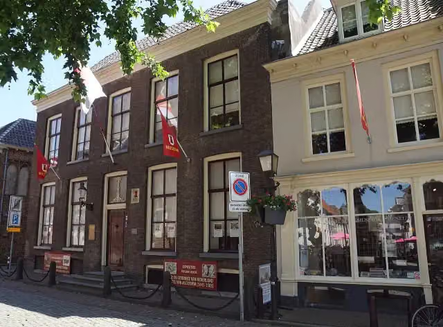 Streekmuseum De Roode ToorenMuseum · 5.6 km from the route
- 21
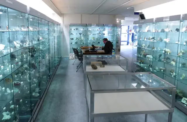 Gelders Geologisch MuseumMuseum · 1.2 km from the route
- 22
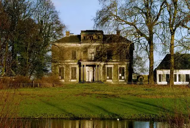 Kasteel ReuversweerdCastle · 3.5 km from the route
- 23
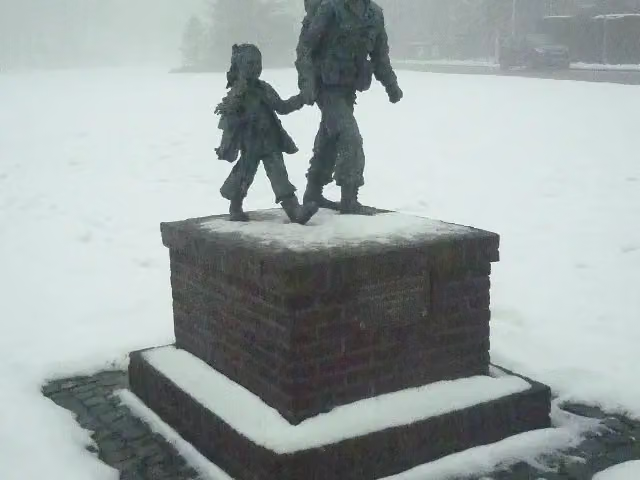 Soldaat met bloemenmeisjeMemorial · 4.9 km from the route
- 24
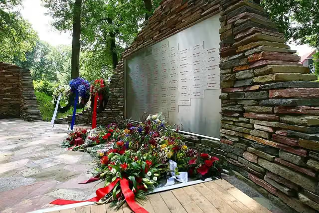 Nationaal BrandweermonumentMonument · 5.2 km from the route
- 25
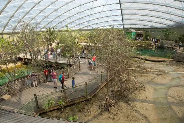 MangroveAttraction · 2.2 km from the route
Explore more
Frequently asked questions
How long is Midden-Nederlandroute - 06 - Arnhem - Dieren?
Midden-Nederlandroute - 06 - Arnhem - Dieren is 33.4 km long. Allow ± 2:15 h of riding: 15 km an hour, without breaks.
Is this route a circular ride?
No, the route starts and ends at different spots.
Where does this route start?
The route starts in Arnhem.
How hard is this route?
Moderate, with 205 m of climbing.
Are there toilets along this route?
Yes, there are 2 public toilets within 100 m of the route. The longest stretch without a toilet is 21.3 km.
Can you fill up with water along this route?
Yes, there are 4 water fountains and refill points within 100 m of the route.
Starting point
More routes from this place
Route data © OpenStreetMap contributors





