 Outdoor Pitstop
Cycle route · Berg en Dal · Updated on 6 November 2026
EuroVelo 15 - Rijnfietsroute - deel Nederland
EuroVelo 15 - Rijnfietsroute - deel Nederland is a cycle route of 261.5 km from Berg en Dal. Along the way you'll find 570 benches and picnic tables, 14 water fountains and refill points, 11 public toilets and 1 bike pump.
i
i
i
The route step by step
From start to finish, with what you pass along the way and the distance in between.
- 261.5 km
- ± 4:20 h per stage
- ↑ 85 m · ↓ 79 m
- Hard per stage
- From A to B
- International route
- Colour of the signs
Start in Berg en Dal
0 km23.4 km · 43 benches
Water point
23.4 km4.7 km · 4 benches
Water point
28.1 km6.2 km · 17 benches
Water point
34.3 km14.4 km · 31 benches

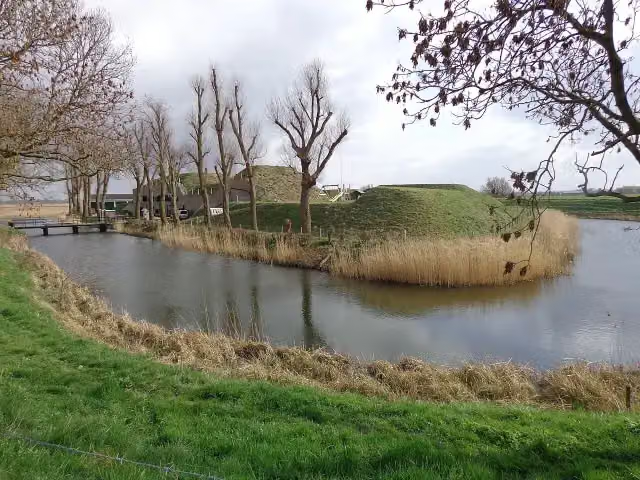
Werk aan de Bakkerskil
48.6 kmFort
22.7 km · 13 benches
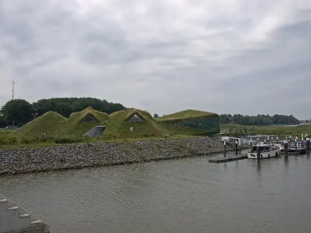
Biesbosch MuseumEiland
71.3 kmPublic toilet
9.6 km · 15 benches
Public toilet
80.8 km4.3 km · 24 benches
Water point
85.1 km854 m · 6 benches
Public toilet
85.9 km8.7 km · 12 benches
Water point
94.7 km6.6 km · 7 benches
Public toilet
101.2 km1.2 km · 11 benches
3 public toilets
102.4 km7.5 km · 16 benches
Monument 1940 - 1945
109.8 kmMemorial
3.6 km · 15 benches
Water point
113.4 km3 km · 65 benches
Stadswerf Koningspoort and 1 more
116.4 kmT.G. Masaryk en Rotterdam
520 m · 15 benches
2 water fountains and refill points
116.9 km252 m · bench
Water point
117.1 km156 m · 15 benches
De Boeg
117.3 kmMonument
810 m · 26 benches
Belasting & Douane Museum
118.1 kmPublic toilet
462 m · 13 benches
Water point
118.6 km203 m · 16 benches
Wilhelmina
118.8 kmMemorial
318 m · 18 benches
Herdenking strijd & verzet 1940-1945
119.1 kmWater point
402 m · 19 benches
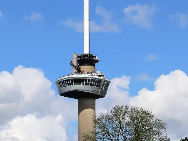
Euromast
119.5 kmAttraction · Audio story · 2 min
5.7 km · 58 benches
Public toilet
125.2 km233 m · 3 benches
The Distilleries Museum and 1 more
125.4 kmStedelijk Museum Schiedam
335 m · 2 benches
Zakkendragershuisje
125.7 kmAttraction
5.8 km · 23 benches
Zeillogger V92 Balder and 1 more
131.5 kmMuseum Vlaardingen
9.4 km · 33 benches
Water point and bike pump
140.9 km12.3 km · 45 benches
Public toilet and water point
153.3 km1.1 km · 3 benches
Public toilet and water point
154.4 km
Show the other 1 steps
107.1 km · bench
Finish
261.5 km
Longest stretch without a toilet: 107.1 kmBetween 154.4 km and 261.5 km there is no public toilet within 100 m of the route.
The route with the water points, toilets and sights within 100 m of it.
15 sights along the way
In the order you pass them. With the Outdoor Pitstop app you hear their story on the spot. 7 more along the route are on the map.
Werk aan de Bakkerskil
Fort · after 48.6 km
Biesbosch MuseumEiland
Museum · after 71.3 km
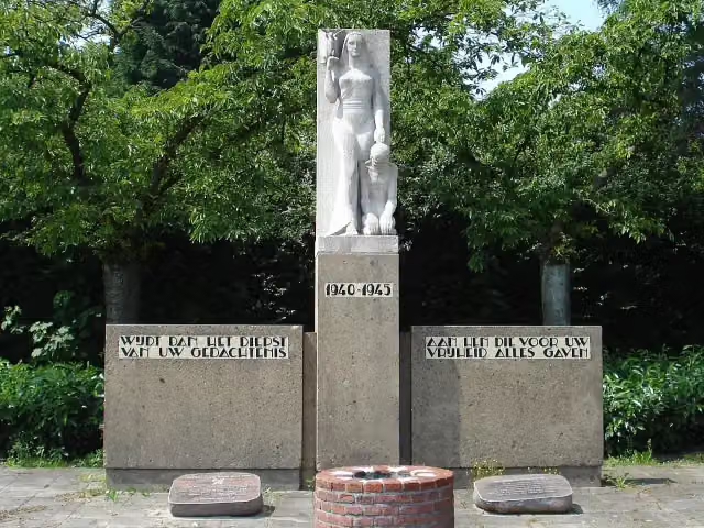
Memorial · after 109.8 km
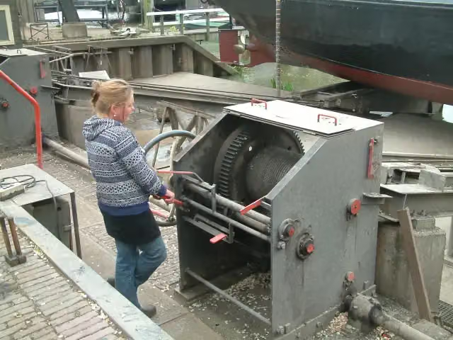
i
Photo: S.J. de Waard · Wikimedia Commons · CC BY-SA 3.0View the photo on Wikimedia CommonsMuseum · after 116.4 km
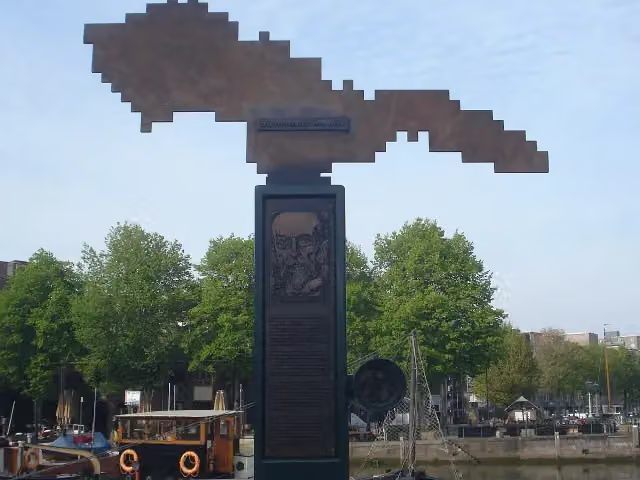
Memorial · after 116.4 km
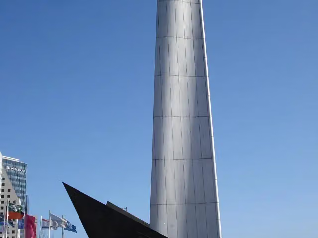
i
Photo: F.Eveleens · Wikimedia Commons · CC BY 3.0View the photo on Wikimedia CommonsMonument · after 117.3 km
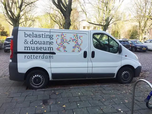
i
Photo: S.J. de Waard · Wikimedia Commons · CC BY-SA 3.0View the photo on Wikimedia CommonsMuseum · after 118.2 km
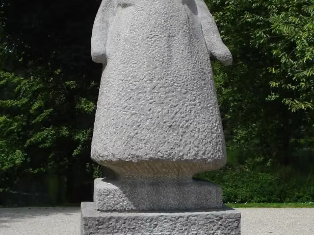
i
Photo: F.Eveleens · Wikimedia Commons · CC BY 3.0View the photo on Wikimedia CommonsMemorial · after 118.8 km
Stages (4)
Elevation and terrain
- Up
- ↑ 85 m
- Down
- ↓ 79 m
- Highest point
- 22 m
- Lowest point
- -2 m
Nowhere steeper than 5%.
Elevation from AHN (Rijkswaterstaat), smoothed.
Way types
261.5 km in total- Road: 69.5 km
- Cycle path: 65.5 km
- Street: 9.1 km
- Busy road: 2 km
- Track: 2 km
- Footpath (walk your bike): 250 m
- Path: 125 m
- Unknown: 5.6 km
Surfaces
261.5 km in total- Asphalt: 132.6 km
- Paved: 15.5 km
- Gravel: 125 m
- Unknown: 5.8 km
About the cycle route EuroVelo 15 - Rijnfietsroute - deel Nederland
Updated on 6 November 2026, with data from OpenStreetMap and the AHN.
Where do you cycle?
EuroVelo 15 - Rijnfietsroute - deel Nederland is a cycle route of 261.5 km that starts in Berg en Dal. It does not end where it starts. Along the way you pass Werk aan de Bakkerskil (after 48.6 km), Biesbosch MuseumEiland (after 71.3 km) and Monument 1940 - 1945 (after 109.8 km).
How hard is the route?
You climb 85 m in total and descend 79 m. Allow ± 4:20 h per stage, without breaks. Per stage the level is hard.
What roads do you cycle on?
The longest part is road (69.5 km), cycle path (65.5 km) and street (9.1 km). Of the surface, 132.6 km asphalt and 15.5 km paved. For 5.8 km the surface is not known.
Pitstops along the way
Within 100 metres of the route there are 570 benches and picnic tables, 14 water fountains and refill points, 11 public toilets and 1 bike pump. The longest stretch without a toilet is 107.1 km. The Outdoor Pitstop app navigates you there.
This is the Rhine Cycle Route (EuroVelo 15) in the Netherlands, about 262 km in our data across four stages: Millingen - Arnhem, Amerongen - Wijk bij Duurstede, Gorinchem - Kinderdijk and Kinderdijk - Hook of Holland. You ride through the Gelderse Poort and past Huissen to Arnhem, past Kasteel Amerongen, and from Gorinchem via Woudrichem and Werkendam through the Biesbosch to Dordrecht. After Kinderdijk the route runs through Rotterdam, past the Euromast and via Schiedam and Vlaardingen to Hook of Holland. Almost all of it is asphalt. We know of eleven toilets, fourteen water taps and one bike pump on the way.
Source: Wikipedia (CC BY-SA)
Part of EuroVelo 15 - Rheinradweg
Website of the routeCycle routes nearby
4Sights nearby
Within 10 km of the route, best known first.
- 1
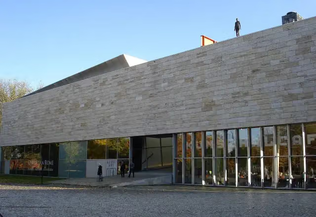 KunstHALMuseum · 316 m from the route
- 2
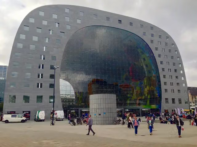 Market HallAttraction · 442 m from the route
- 3
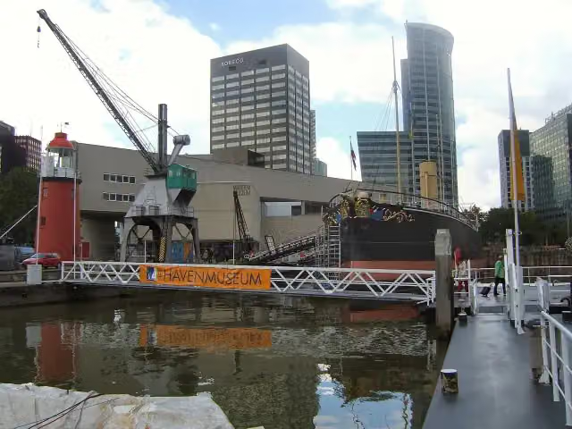 Maritime MuseumMuseum · 509 m from the route
- 4
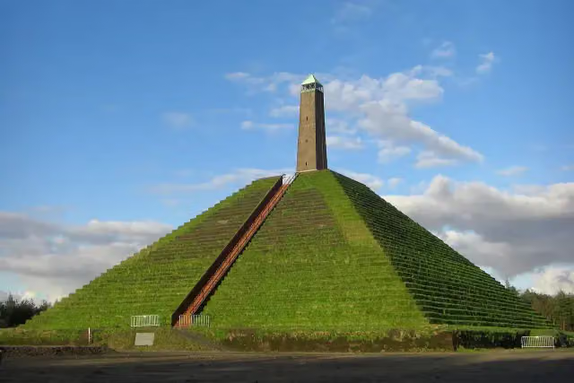 Pyramid of AusterlitzAttraction · 7.3 km from the route
- 5
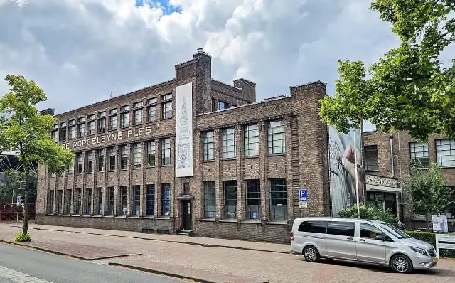 Royal DelftMuseum · 8.5 km from the route
- 6
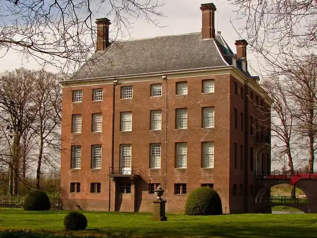 Kasteel AmerongenCastle · 190 m from the route
- 7
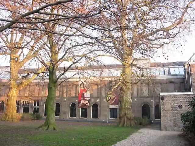 Dordrechts MuseumMuseum · 325 m from the route
- 8
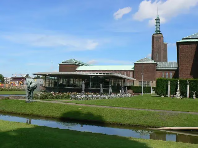 Museum Boijmans Van BeuningenMuseum · 469 m from the route
- 9
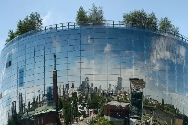 Depot Boijmans Van BeuningenMuseum · 543 m from the route
- 10
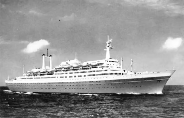 SS RotterdamAttraction · 657 m from the route
- 11
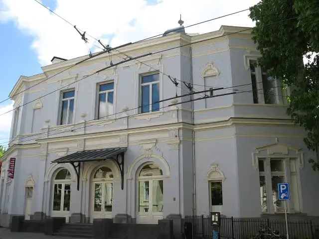 Museum ArnhemMuseum · 814 m from the route
- 12
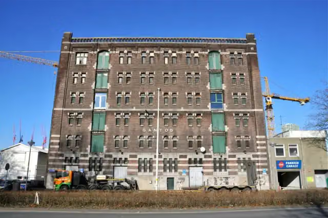 Nederlands FotomuseumMuseum · 1.2 km from the route
- 13
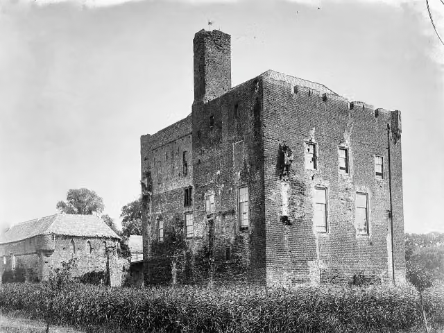 Kasteel DoornenburgAttraction · 1.6 km from the route
- 14
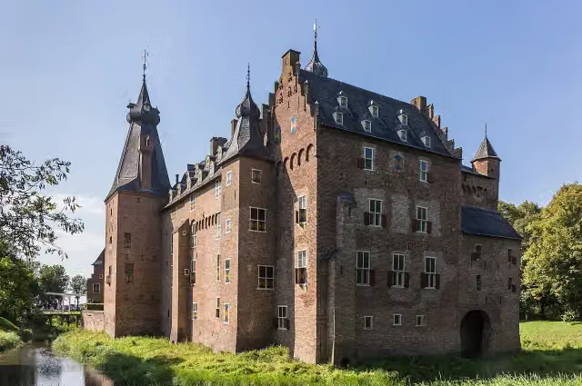 Kasteel DoorwerthCastle · 7.3 km from the route
- 15
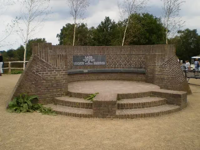 PosbankMemorial · 9.4 km from the route
- 16
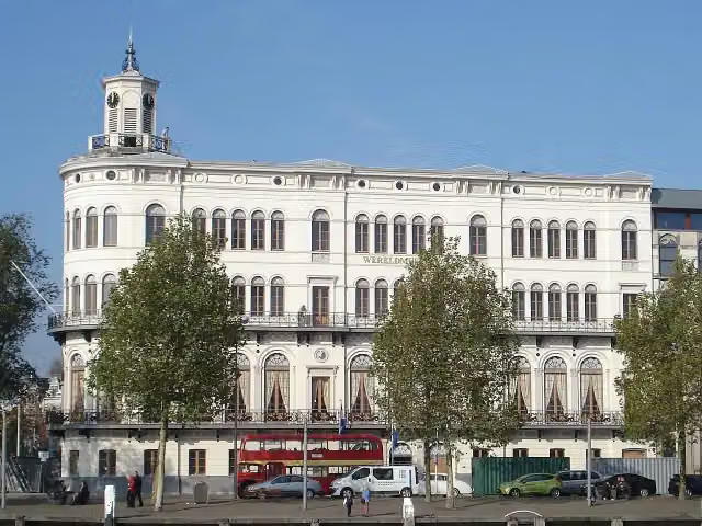 Wereldmuseum RotterdamMuseum · 180 m from the route
- 17
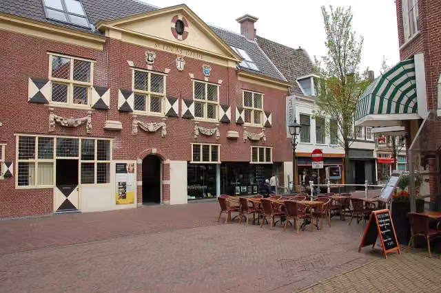 Vermeer CentrumMuseum · 9.8 km from the route
- 18
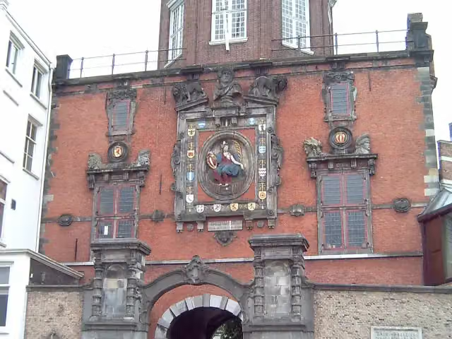 GroothoofdspoortAttraction · 331 m from the route
- 19
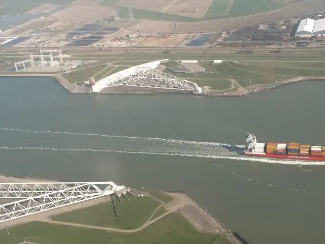 Maeslant BarrierAttraction · 385 m from the route
- 20
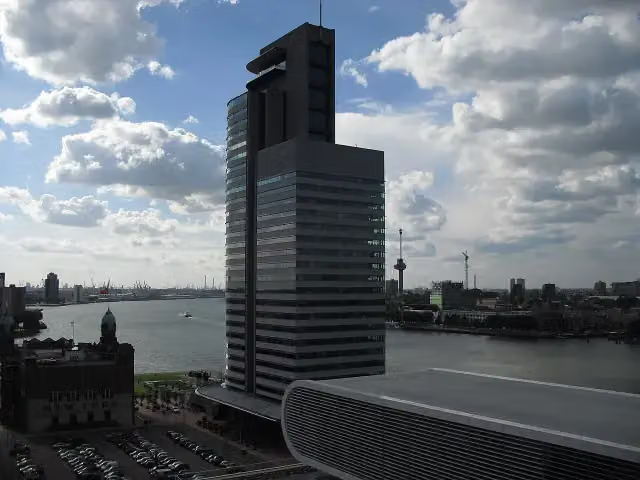 World Port CenterAttraction · 453 m from the route
- 21
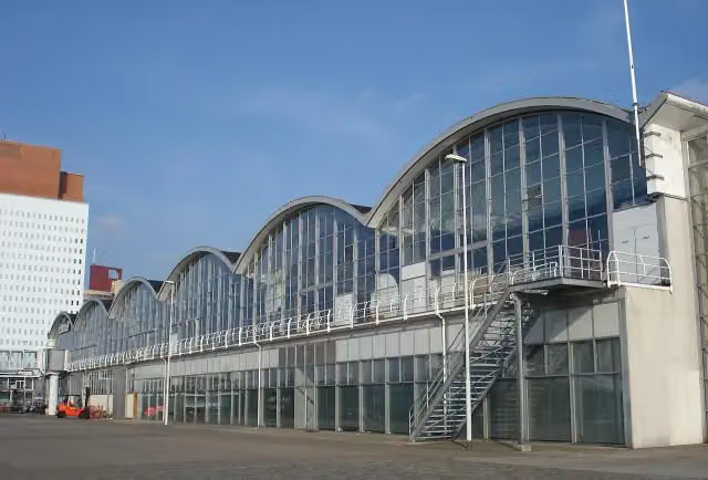 Rotterdam Cruise TerminalAttraction · 575 m from the route
- 22
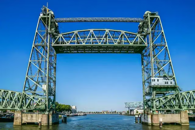 De HefAttraction · 644 m from the route
- 23
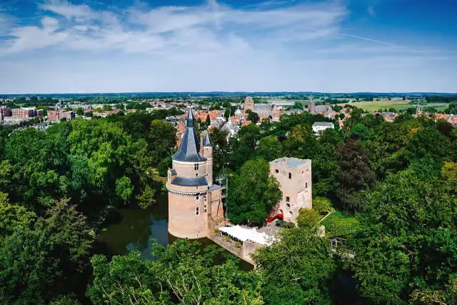 Duurstede CastleCastle · 5.1 km from the route
- 24
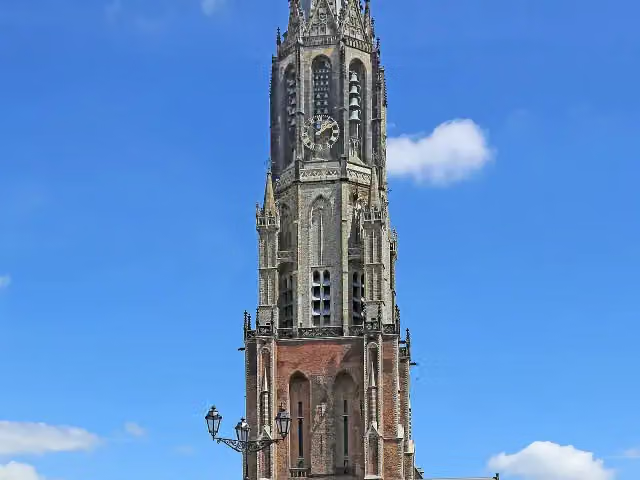 New ChurchAttraction · 9.7 km from the route
- 25
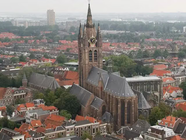 Old ChurchAttraction · 9.8 km from the route
Explore more
More cycle routes around Berg en Dal
Frequently asked questions
How long is EuroVelo 15 - Rijnfietsroute - deel Nederland?
EuroVelo 15 - Rijnfietsroute - deel Nederland is 261.5 km long, in 4 stages of 65.4 km on average. Allow ± 4:20 h per stage of riding: 15 km an hour, without breaks.
Is this route a circular ride?
No, the route starts and ends at different spots.
Where does this route start?
The route starts in Berg en Dal.
How hard is this route?
Hard per stage, with 21 m per stage of climbing.
Are there toilets along this route?
Yes, there are 11 public toilets within 100 m of the route. The longest stretch without a toilet is 107.1 km.
Can you fill up with water along this route?
Yes, there are 14 water fountains and refill points within 100 m of the route.
What is there to see along this route?
Along the way you pass Werk aan de Bakkerskil, Biesbosch MuseumEiland and Monument 1940 - 1945.
Starting point
More routes from this place
Route data © OpenStreetMap contributors





