 Outdoor Pitstop
Cycle route · Düren · Updated on 13 November 2026
Grünroute cycle route
Grünroute is a cycle route of 153.1 km from Düren. Along the way you'll find 481 benches, 4 water fountains and refill points, 10 public toilets and 2 bike pumps.
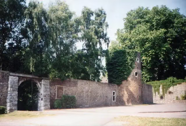
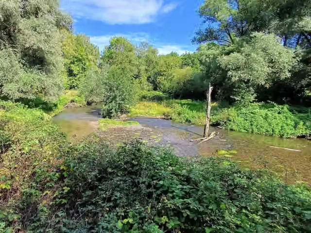
i
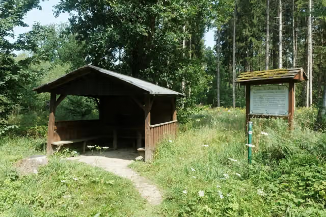
i
The route step by step
From start to finish, with what you pass along the way and the distance in between.
- 153.1 km
- ± 10:10 h
- ↑ 953 m · ↓ 1,037 m
- Hard
- From A to B
- International route
- Colour of the signs
This route is in pieces in OpenStreetMap, so there are no kilometres per pitstop. Along the way you'll find 481 benches, 4 water fountains and refill points, 10 public toilets and 2 bike pumps.
Follow these steps in the appThe route with the pitstops and sights within 100 m of it.
13 sights along the way
In the order you pass them. With the Outdoor Pitstop app you hear their story on the spot. 5 more along the route are on the map.
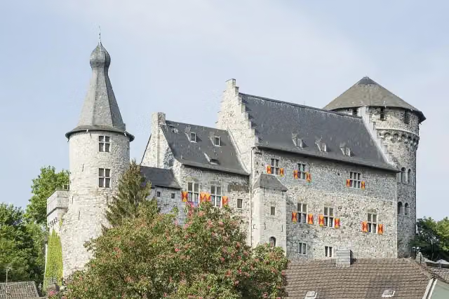
i
Photo: CEphoto, Uwe Aranas · Wikimedia Commons · CC BY-SA 3.0View the photo on Wikimedia CommonsCastle
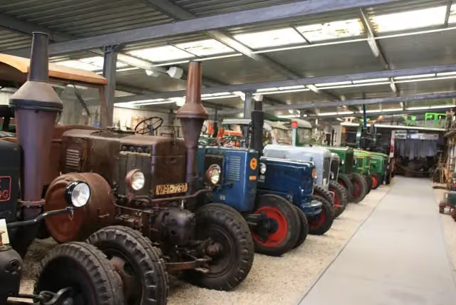
i
Photo: Karl-Heinz Jansen · Wikimedia Commons · CC BY-SA 4.0View the photo on Wikimedia CommonsMuseum
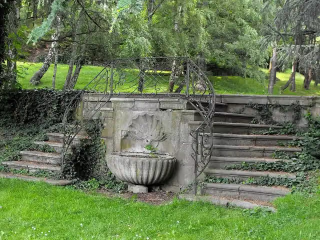
i
Photo: Geolina163 · Wikimedia Commons · CC BY-SA 3.0View the photo on Wikimedia CommonsAttraction
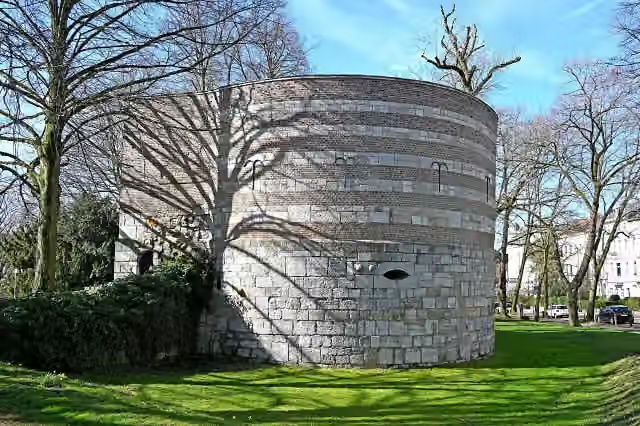
i
Photo: Thomas Hummel · Wikimedia Commons · CC BY-SA 4.0View the photo on Wikimedia CommonsMonument
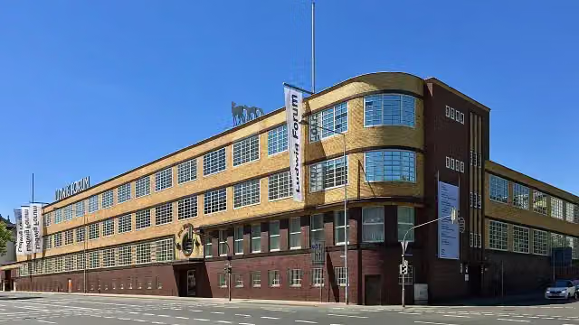
i
Photo: Sebastianat · Wikimedia Commons · CC BY-SA 4.0View the photo on Wikimedia CommonsMuseum
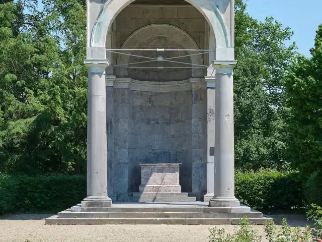
i
Photo: Sascha Faber · Wikimedia Commons · CC BY-SA 4.0View the photo on Wikimedia CommonsMonument
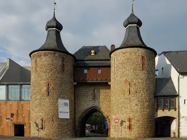
i
Photo: Peter Haas · Wikimedia Commons · CC BY-SA 3.0View the photo on Wikimedia CommonsAttraction
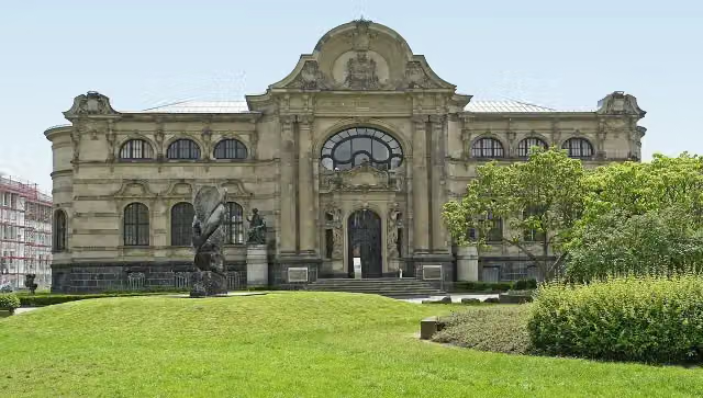
i
Photo: Wikimedia Commons · Wikimedia Commons · CC BY-SA 3.0View the photo on Wikimedia CommonsMuseum
Elevation and terrain
- Up
- ↑ 953 m
- Down
- ↓ 1,037 m
- Highest point
- 273 m
- Lowest point
- 35 m
- 5-10% slope · 4.6 km
- 10-15% slope · 769 m
- 15-20% slope · 1.5 km
Elevation from Copernicus GLO-30 (European Union and ESA), smoothed.
produced using Copernicus WorldDEM-30 © DLR e.V. 2010-2014 and © Airbus Defence and Space GmbH 2014-2018 provided under COPERNICUS by the European Union and ESA; all rights reserved
Way types
153.1 km in total- Track: 57.5 km
- Street: 33.1 km
- Path: 25.6 km
- Road: 25.1 km
- Busy road: 5.1 km
- Cycle path: 4.4 km
- Footpath (walk your bike): 1.9 km
Surfaces
153.1 km in total- Asphalt: 91.4 km
- Gravel: 27.9 km
- Paved: 12.8 km
- Unpaved: 3.8 km
- Unknown: 16.8 km
About the cycle route Grünroute
Updated on 13 November 2026, with data from OpenStreetMap, the AHN and Copernicus.
Where do you cycle?
Grünroute is a cycle route of 153.1 km that starts in Düren. It does not end where it starts. You start in Düren and finish in Hasselt.
How hard is the route?
You climb 953 m in total and descend 1,037 m. Allow ± 10:10 h, without breaks. The level is hard.
What roads do you cycle on?
The longest part is track (57.5 km), street (33.1 km) and path (25.6 km). Of the surface, 91.4 km asphalt and 27.9 km gravel. For 16.8 km the surface is not known.
Pitstops along the way
Within 100 metres of the route there are 481 benches, 4 water fountains and refill points, 10 public toilets and 2 bike pumps. The Outdoor Pitstop app navigates you there.
The Grünroute is an international cycle route from Düren in Germany via Parkstad Limburg to Belgian Limburg; in our data it is 119 km long, mainly the section in South Limburg and the border area. The route links nature areas in what was once a major coal-mining region. Among other things you ride across the Brunssummerheide, through the Geleenbeekdal and the Schutterspark, and past castles such as Terworm, Amstenrade, Puth and Elsloo, as well as the ruins of Schaesberg. Nearly three quarters is asphalt or paved. We know of eight water taps and two toilets on the way.
Source: Wikipedia (CC BY-SA)
Cycle routes nearby
6- Deutsche Fußball Route NRW (West)Hard · From A to B257.7 km
- Wasserburgen-Route Etappe 7bModerate · From A to B50 km
- Wasserburgen-Route Etappe 6b (nicht gemeinsamer Abschnitt)Easy · From A to B6.3 km
- RurUfer-RadwegHard · From A to B136.1 km
- Wasserburgen-Route Etappe 6a und 6b (gemeinsamer Abschnitt)Moderate · From A to B35 km
- Wasserburgen-Route Etappe 6a (nicht gemeinsamer Abschnitt)Easy · From A to B28.1 km
Sights nearby
Within 10 km of the route, best known first.
- 1
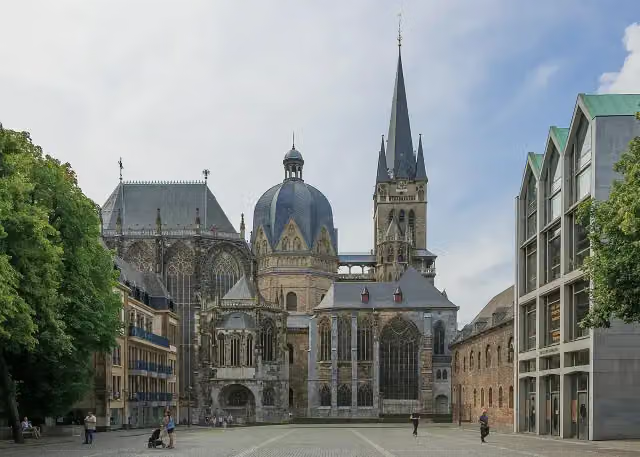 Aachen CathedralAttraction · 567 m from the route
- 2
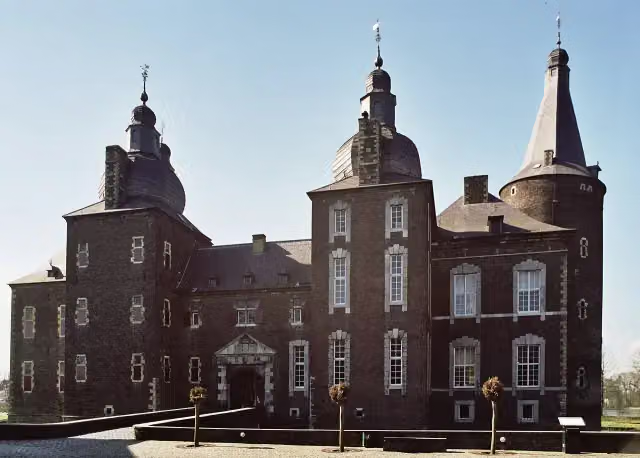 Hoensbroek CastleCastle · 6.3 km from the route
- 3
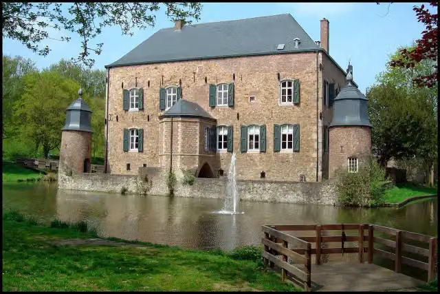 Kasteel ErensteinCastle · 2.2 km from the route
- 4
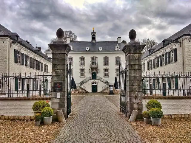 Kasteel VaalsbroekCastle · 5.9 km from the route
- 5
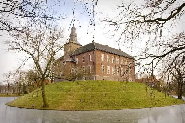 Kasteel LimbrichtCastle · 2.8 km from the route
- 6
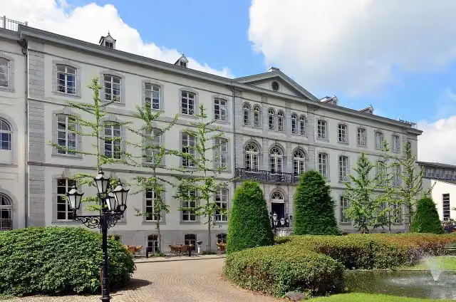 Huis BloemendalCastle · 4.5 km from the route
- 7
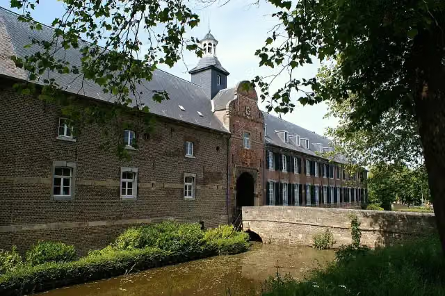 Kasteel WijnandsradeCastle · 8.2 km from the route
- 8
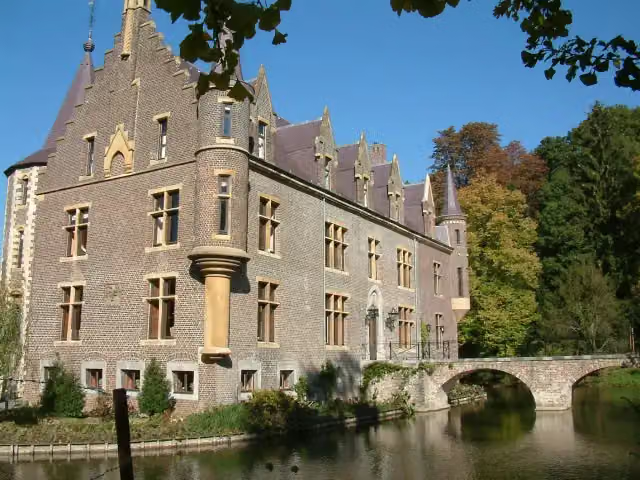 Kasteel TerwormCastle · 8.8 km from the route
- 9
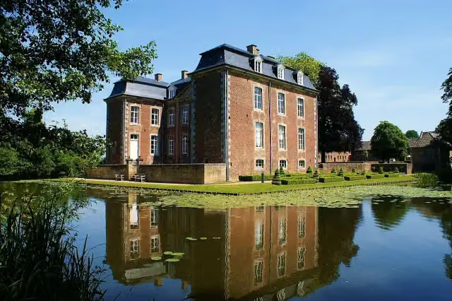 Kasteel CortenbachCastle · 9.9 km from the route
- 10
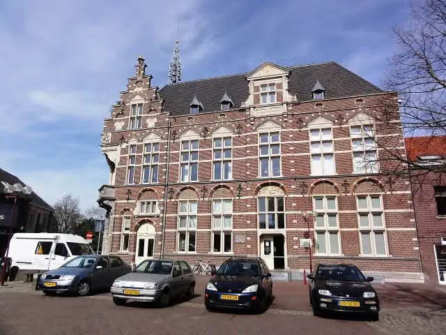 Museum van de VrouwMuseum · 6.6 km from the route
- 11
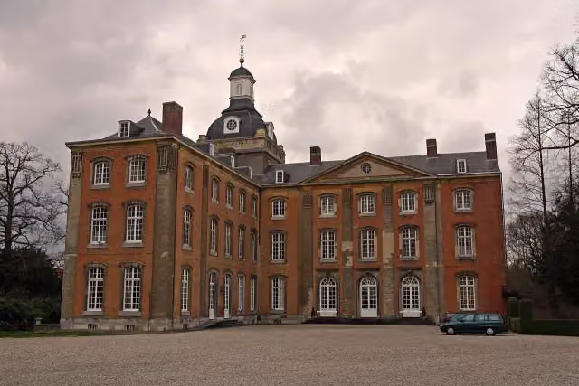 Kasteel AmstenradeCastle · 3.8 km from the route
- 12
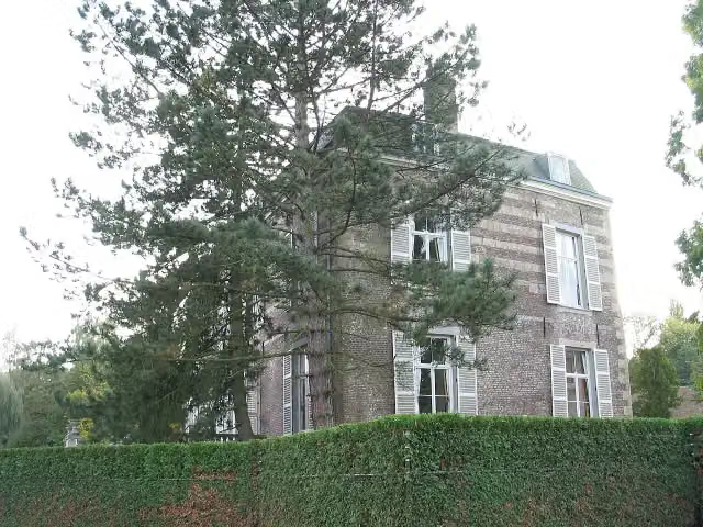 Kasteel StrijthagenCastle · 3.1 km from the route
- 13
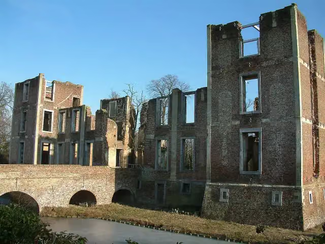 Kasteel BornAttraction · 4.3 km from the route
- 14
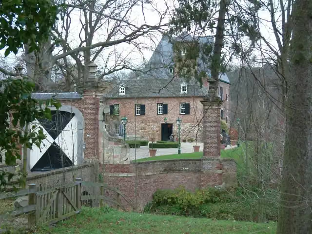 Kasteel LemiersCastle · 5.3 km from the route
- 15
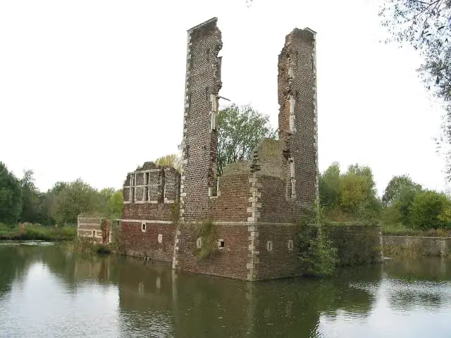 Kasteelruïne SchaesbergRuins · 5.5 km from the route
- 16
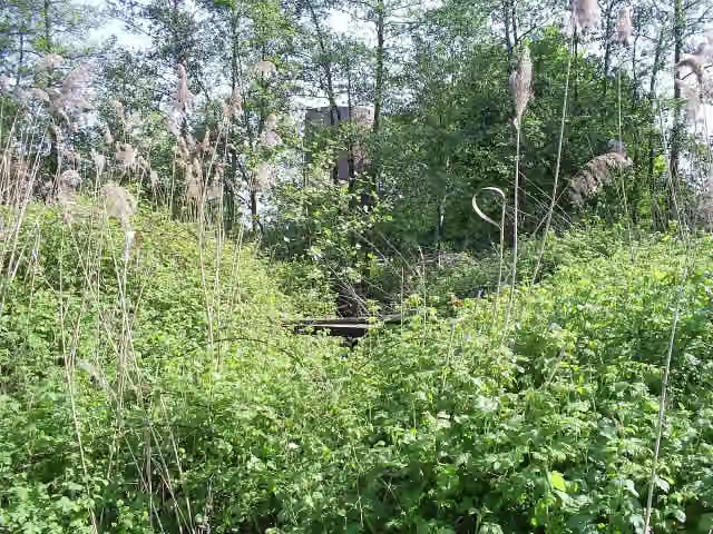 Kasteel MillenCastle · 162 m from the route
- 17
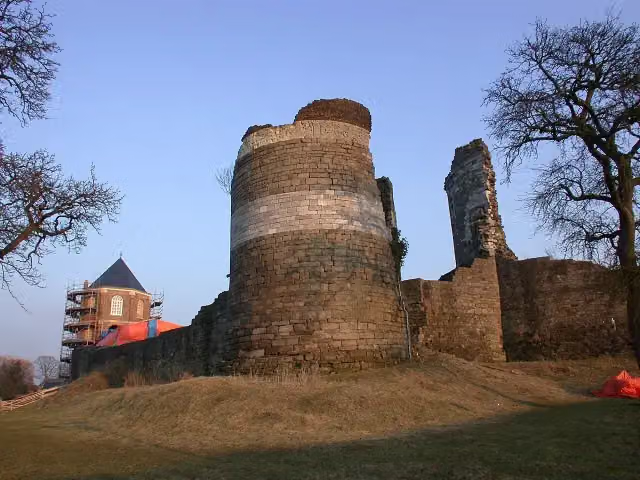 Kasteelruïne MontfortRuins · 8.4 km from the route
- 18
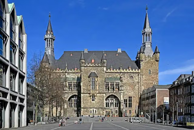 Aachen Town HallAttraction · 418 m from the route
- 19
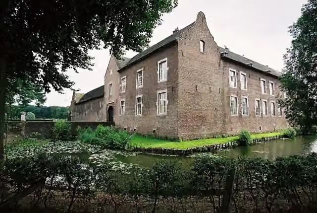 Kasteel TerborghCastle · 4.6 km from the route
- 20
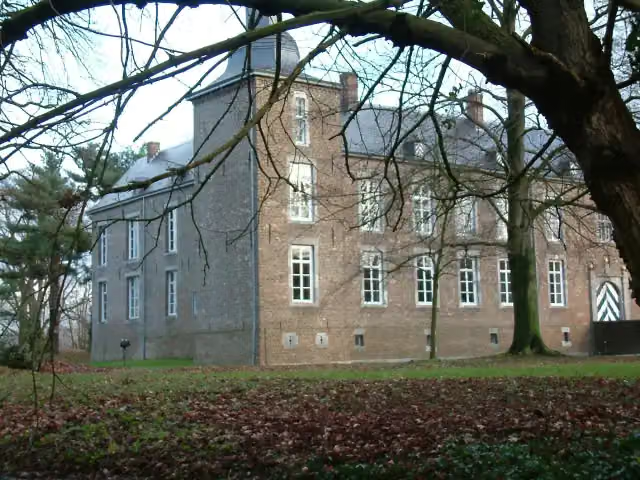 Kasteel WolfrathCastle · 2.7 km from the route
- 21
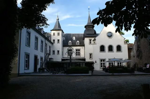 Kasteel DoenradeCastle · 1.3 km from the route
- 22
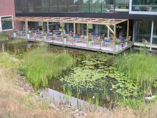 Discovery MuseumMuseum · 2.1 km from the route
- 23
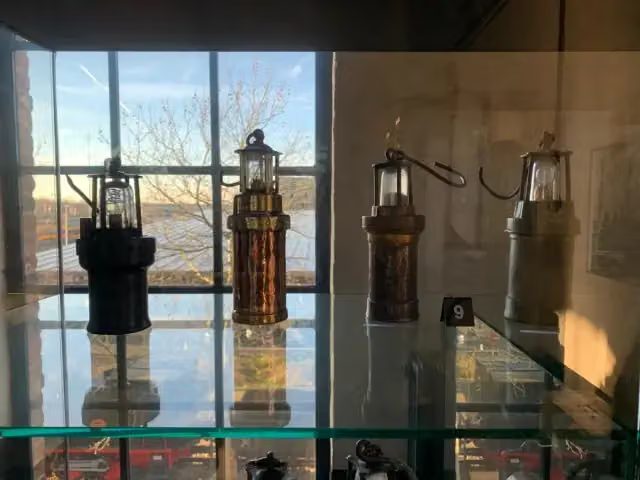 Nederlands MijnmuseumMuseum · 6.8 km from the route
- 24
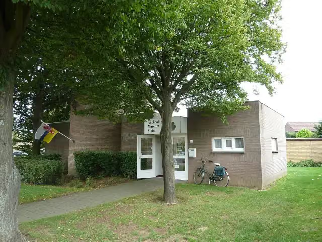 Archeologisch MuseumMuseum · 10 km from the route
- 25
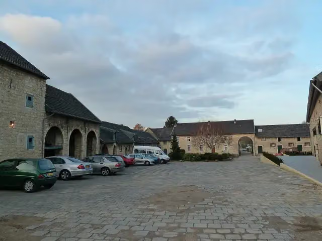 Hoeve OverhuizenCastle · 4.7 km from the route
Explore more
More cycle routes around Düren
Frequently asked questions
How long is Grünroute?
Grünroute is 153.1 km long. Allow ± 10:10 h of riding: 15 km an hour, without breaks.
Is this route a circular ride?
No, the route runs from Düren to Hasselt.
Where does this route start?
The route starts in Düren.
How hard is this route?
Hard, with 953 m of climbing.
Are there toilets along this route?
Yes, there are 10 public toilets within 100 m of the route.
Can you fill up with water along this route?
Yes, there are 4 water fountains and refill points within 100 m of the route.
What is there to see along this route?
Along the way you pass Burg Stolberg, Bauernmuseum Selfkant and Guaita’sche Gartentreppe.
Can I download this route as a GPX file?
Yes. Sign in with your Outdoor Pitstop account and choose Download GPX at the top of this page: 10 routes a month for free, unlimited with Pro.
Starting point
More routes from this place
Route data © OpenStreetMap contributors





