 Outdoor Pitstop
Cycle route · Roerdalen · Updated on 13 November 2026
RurUfer-Radweg cycle route
RurUfer-Radweg is a cycle route of 136.1 km from Roerdalen. Along the way you'll find 416 benches, 4 water fountains and refill points, 16 public toilets and 3 bike pumps.
i
i
i
The route step by step
From start to finish, with what you pass along the way and the distance in between.
- 136.1 km
- ± 9:05 h
- ↑ 885 m · ↓ 375 m
- Hard
- From A to B
- Regional route
Start in Roerdalen
0 km30.7 km · 42 benches
Bike pump
30.7 km7.8 km · 17 benches

Observation tower
38.4 kmObservation tower
41.1 km · 155 benches
Public toilet
79.6 km7 km · 35 benches
Public toilet
86.6 km212 m · 6 benches
Burg Blens
86.8 kmCastle
825 m · bench
Public toilet
87.6 km4.7 km · 7 benches
2 public toilets and water point
92.4 km479 m · 17 benches
Burg Hengebach
92.9 km2 public toilets and bike pump
2.7 km · 30 benches
Kraftwerk Heimbach
95.6 kmAttraction
1.3 km · 6 benches
3 public toilets
96.9 km8.8 km · 22 benches
Public toilet
105.7 km7 km · 19 benches
Water point
112.7 km5.6 km · 8 benches
Water point
118.3 km8.7 km · 5 benches
Fotografie-Forum der StädteRegion Aachen
127 kmPublic toilet
272 m · 11 benches
Rotes Haus
127.3 kmMuseum
534 m · 19 benches
Burg Monschau
127.9 km2 public toilets and bike pump
173 m · 4 benches
Erlebnismuseum Lernort Natur
128 kmPublic toilet
1.5 km · 5 benches
Public toilet and water point
129.6 km6.5 km · 7 benches
Finish
136.1 km
Longest stretch without a toilet: 79.6 kmBetween 0 km and 79.6 km there is no public toilet within 100 m of the route.
The route with the pitstops and sights within 100 m of it.
8 sights along the way
In the order you pass them. With the Outdoor Pitstop app you hear their story on the spot.

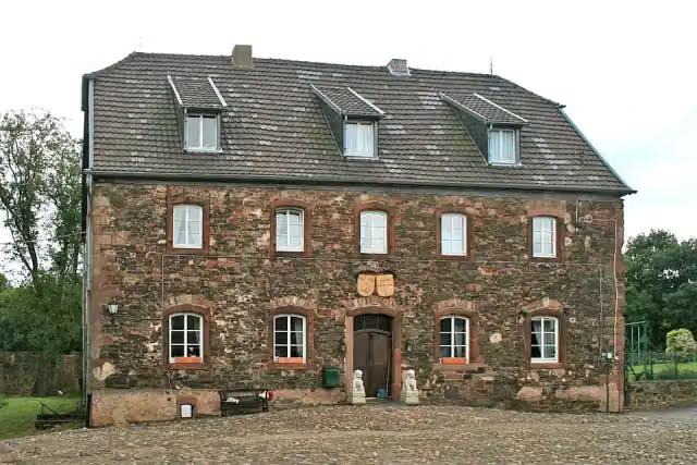
Observation tower · after 38.4 km
i
Photo: Käthe und Bernd Limburg, www.limburg-bernd.de · Wikimedia Commons · CC BY-SA 3.0 deView the photo on Wikimedia CommonsCastle · after 86.8 km
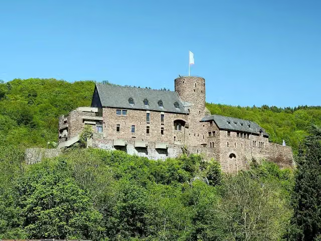
Attraction · after 93 km
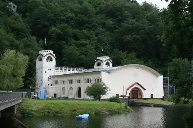
i
Photo: Käthe und Bernd Limburg, www.limburg-bernd.de · Wikimedia Commons · CC BY-SA 3.0 deView the photo on Wikimedia CommonsAttraction · after 95.6 km
i
Photo: kaʁstn Disk/Cat · Wikimedia Commons · CC BY-SA 3.0 deView the photo on Wikimedia CommonsMuseum · after 127.1 km
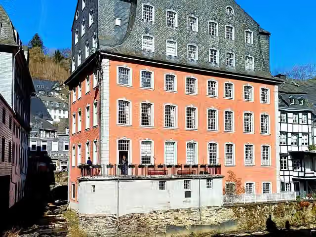
i
Photo: ArthurMcGill · Wikimedia Commons · CC BY-SA 4.0View the photo on Wikimedia CommonsMuseum · after 127.3 km
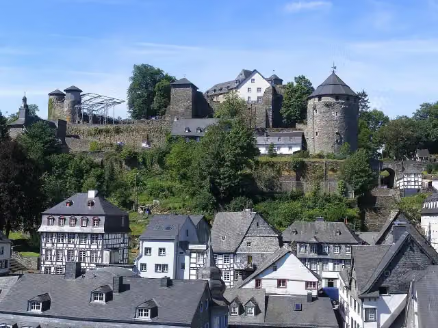
i
Photo: Steffen Heinz Caronna · Wikimedia Commons · CC BY 3.0View the photo on Wikimedia CommonsCastle · after 127.9 km
Museum · after 128 km
Elevation and terrain
- Up
- ↑ 885 m
- Down
- ↓ 375 m
- Highest point
- 543 m
- Lowest point
- 28 m
- 5-10% slope · 2.1 km
Elevation from Copernicus GLO-30 (European Union and ESA), smoothed.
produced using Copernicus WorldDEM-30 © DLR e.V. 2010-2014 and © Airbus Defence and Space GmbH 2014-2018 provided under COPERNICUS by the European Union and ESA; all rights reserved
Way types
136.1 km in total- Track: 64.7 km
- Path: 32.3 km
- Street: 17.3 km
- Road: 13.5 km
- Busy road: 3.8 km
- Footpath (walk your bike): 2.6 km
- Cycle path: 1.6 km
Surfaces
136.1 km in total- Asphalt: 61.5 km
- Gravel: 49 km
- Unpaved: 5.6 km
- Paved: 2.3 km
- Unknown: 17.2 km
About the cycle route RurUfer-Radweg
Updated on 13 November 2026, with data from OpenStreetMap, the AHN and Copernicus.
Where do you cycle?
RurUfer-Radweg is a cycle route of 136.1 km that starts in Roerdalen. It does not end where it starts. You start in Signal de Botrang bei Venn (Belgien) and finish in Maasmündung in Roermond (Niederlande). Along the way you pass Observation tower (after 38.4 km), Burg Blens (after 86.8 km) and Burg Hengebach (after 93 km).
How hard is the route?
You climb 885 m in total and descend 375 m. Allow ± 9:05 h, without breaks. The level is hard.
What roads do you cycle on?
The longest part is track (64.7 km), path (32.3 km) and street (17.3 km). Of the surface, 61.5 km asphalt and 49 km gravel. For 17.2 km the surface is not known.
Pitstops along the way
Within 100 metres of the route there are 416 benches, 4 water fountains and refill points, 16 public toilets and 3 bike pumps. You can fill your bottle after 92.4 km, after 112.7 km, after 118.3 km and after 129.6 km. The longest stretch without a toilet is 79.6 km. The Outdoor Pitstop app navigates you there.
This is the Dutch part of the RurUfer-Radweg, a cycle route of just over 16 km from Wassenberg in Germany to Roermond. The full route follows the Rur (Roer) for about 180 km, from its source near the Botrange in Belgium to where it flows into the Maas at Roermond. After the Effelder Waldsee you cross the border and ride through the Roer valley by way of Vlodrop, Sint Odiliënberg and Herten. In Roermond you find the Roerstreekmuseum. It is flat and mostly asphalt. There are thirteen benches, but we know of no drinking water or toilets along the way.
Source: Wikipedia (CC BY-SA)
Cycle routes nearby
6Sights nearby
Within 10 km of the route, best known first.
- 1
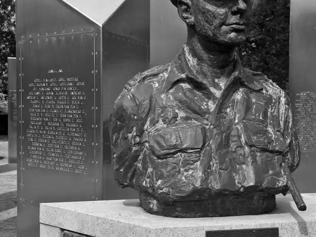 Nationaal Indië MonumentMemorial · 8.6 km from the route
- 2
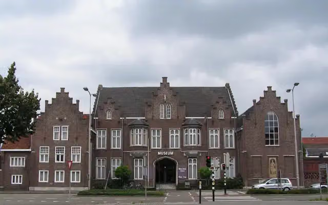 CuypershuisMuseum · 9 km from the route
- 3
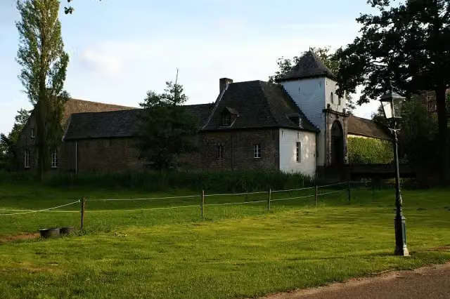 Kasteel DaelenbroeckCastle · 1.8 km from the route
- 4
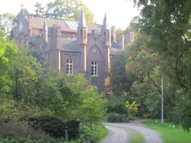 Kasteel AerwinkelCastle · 5.4 km from the route
- 5
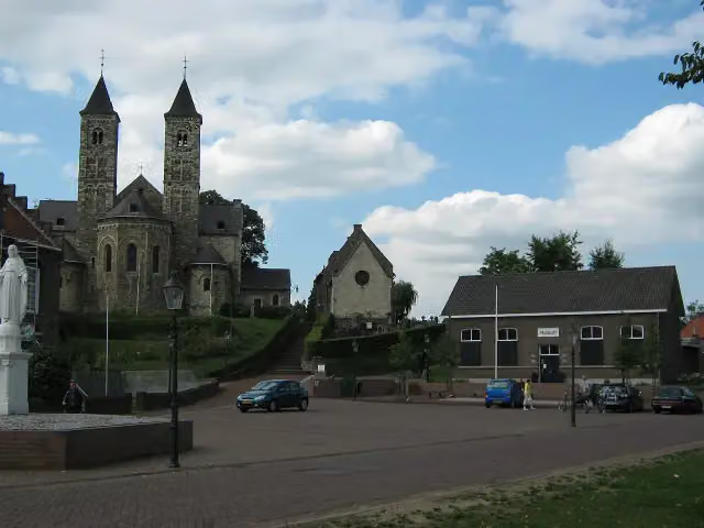 RoerstreekmuseumMuseum · 6.4 km from the route
- 6
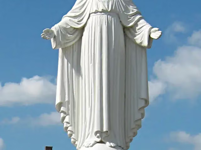 Statue of Sacred Heart of Jesus ChristMemorial · 6.3 km from the route
- 7
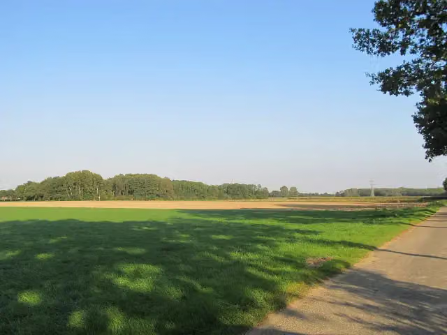 motteheuvel BolbergArchaeological site · 3.4 km from the route
- 8
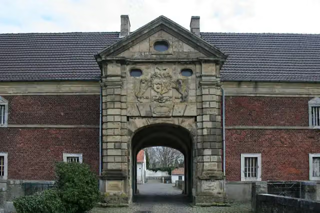 Gut MüllenarkCastle · 517 m from the route
- 9
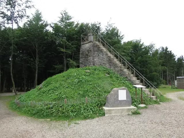 Butte BaltiaViewpoint · 7.4 km from the route
- 10
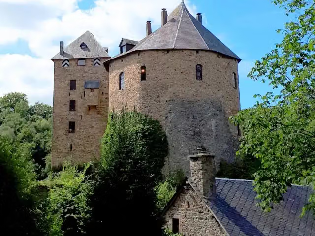 Reinhardstein CastleCastle · 9.7 km from the route
- 11
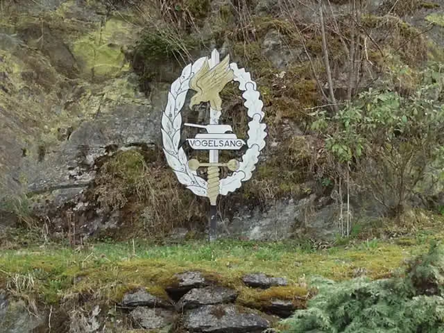 Vogelsang International PlaceMuseum · 4.6 km from the route
- 12
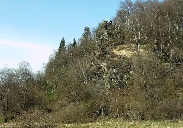 Aussichtspunkt BieleiViewpoint · 4.8 km from the route
- 13
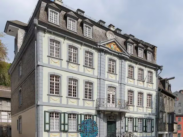 Troistorff HouseAttraction · 105 m from the route
- 14
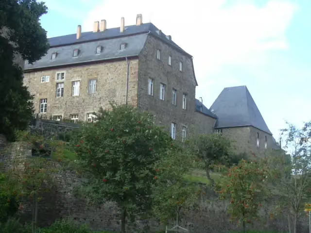 Burg UntermaubachCastle · 106 m from the route
- 15
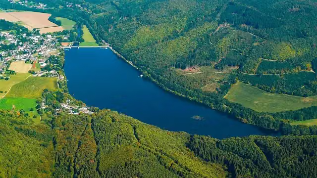 FischtreppeAttraction · 112 m from the route
- 16
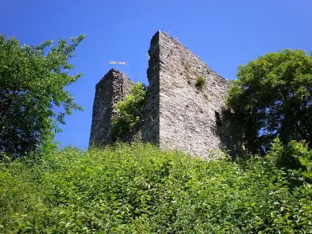 HallerAttraction · 116 m from the route
- 17
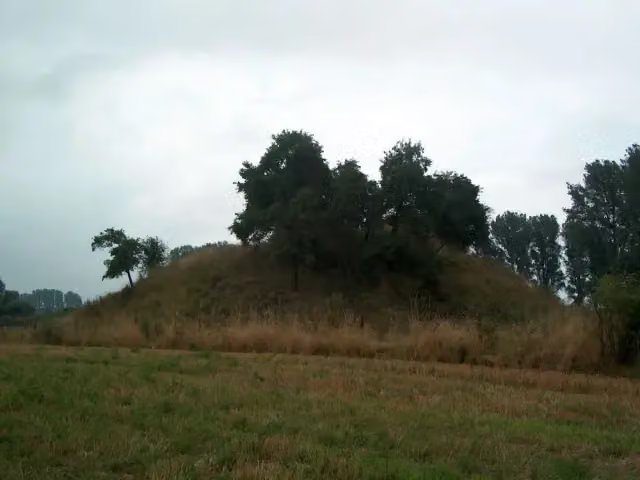 Motte AltenburgArchaeological site · 135 m from the route
- 18
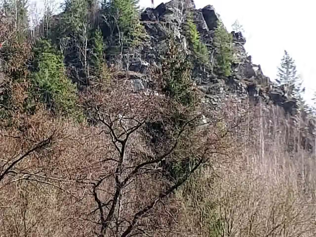 EhrensteinsleyViewpoint · 166 m from the route
- 19
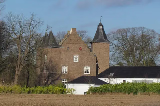 Haus EffeldCastle · 186 m from the route
- 20
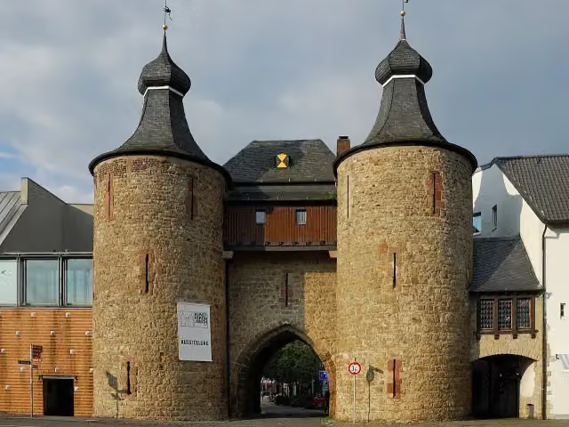 HexenturmAttraction · 230 m from the route
- 21
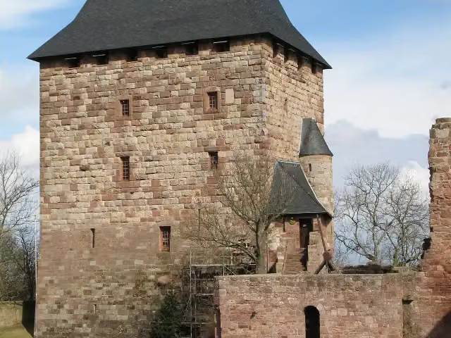 BurgenmuseumMuseum · 245 m from the route
- 22
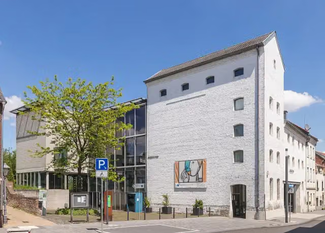 GlasmalereimuseumMuseum · 329 m from the route
- 23
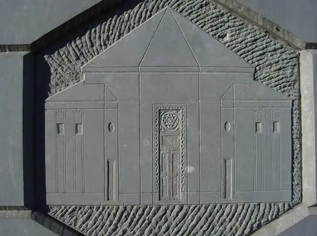 MemorialMemorial · 390 m from the route
- 24
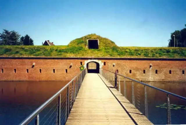 Brückenkopf ParkAttraction · 413 m from the route
- 25
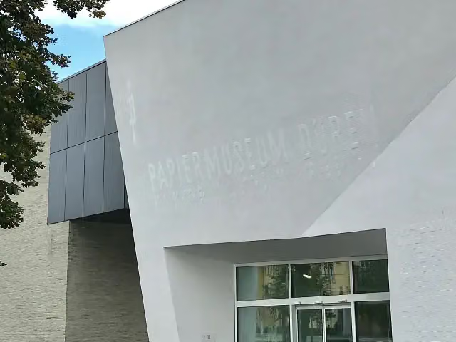 Papiermuseum DürenMuseum · 617 m from the route
Explore more
Frequently asked questions
How long is RurUfer-Radweg?
RurUfer-Radweg is 136.1 km long. Allow ± 9:05 h of riding: 15 km an hour, without breaks.
Is this route a circular ride?
No, the route runs from Signal de Botrang bei Venn (Belgien) to Maasmündung in Roermond (Niederlande).
Where does this route start?
The route starts in Roerdalen.
How hard is this route?
Hard, with 885 m of climbing.
Are there toilets along this route?
Yes, there are 16 public toilets within 100 m of the route. The longest stretch without a toilet is 79.6 km.
Can you fill up with water along this route?
Yes, there are 4 water fountains and refill points within 100 m of the route.
What is there to see along this route?
Along the way you pass Observation tower, Burg Blens and Burg Hengebach.
Can I download this route as a GPX file?
Yes. Sign in with your Outdoor Pitstop account and choose Download GPX at the top of this page: 10 routes a month for free, unlimited with Pro.
Starting point
More routes from this place
Route data © OpenStreetMap contributors





