 Outdoor Pitstop
Cycle route · Bremerhaven · Updated on 14 November 2026
Weser - Romantische Straße cycle route
Weser - Romantische Straße is a cycle route of 1,244.9 km from Bremerhaven. Along the way you'll find 3,241 benches, 64 water fountains and refill points, 226 public toilets, 50 bike pumps and 11 honesty boxes and farm vending machines.
i
i
i
The route step by step
From start to finish, with what you pass along the way and the distance in between.
- 1,244.9 km
- ± 8:20 h per stage
- ↑ 3,819 m · ↓ 3,038 m
- Hard per stage
- From A to B
- National route
Start in Bremerhaven
0 kmAt the start: public toilet.
169 m · 2 benches

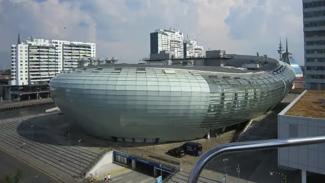
Klimahaus Bremerhaven
169 mWater point
279 m
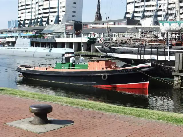
Helmut and 1 more
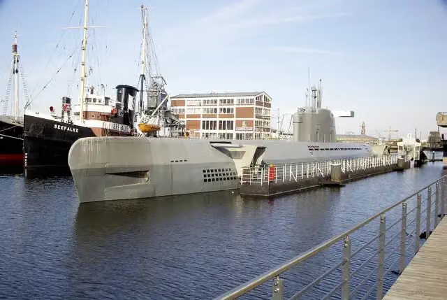
448 mU-Boot Wilhelm Bauer and public toilet
180 m
Emma and 4 more
628 mSeefalke, Deutsches Schifffahrtsmuseum, Elbe 3 and DIVA
220 m · 5 benches
Altes Unterfeuer Sandstedt and 1 more
848 mRadarturm and public toilet
175 m · bench
19 public toilets
1 km160 m · bench
9 public toilets
1.2 km155 m · 6 benches
Wencke-Dock
1.3 km47 public toilets
304 m · 13 benches
Busse-Denkmal and 1 more
1.6 kmHistorisches Museum Bremerhaven and public toilet
10.9 km · 4 benches
Public toilet
12.6 km1.2 km · 13 benches
2 public toilets
13.7 km225 m
Public toilet
13.9 km20.8 km · 2 benches
Schiffahrtsmuseum Brake (Haus1) and 1 more
34.7 kmSoldatendenkmal and public toilet
10.9 km · 12 benches
Denkmal des Schwarzen Herzogs
45.6 kmBike pump
1.2 km · 7 benches
Honesty box
46.8 km9 km
Public toilet
55.8 km3.3 km · bench
Public toilet
59.1 km2.4 km · 7 benches
Public toilet
61.5 km5.9 km · 4 benches
Kapelle am Deich
67.4 kmAttraction
766 m
Public toilet
68.1 km626 m
Aussichtsturm Weitblick
68.8 kmObservation tower
8.1 km · 9 benches
Glockenstein
76.9 kmMemorial
11.6 km · 45 benches
Fangturm and 1 more
88.5 kmSteinkammern
168 m · 8 benches
Schlachte
88.7 kmPublic toilet
246 m · 18 benches
Balge and 1 more
88.9 kmAlexander von Humboldt and public toilet
334 m · 55 benches
Paula-Modersohn-Becker-Museum and 5 more
89.3 kmBöttcherstraße, Ludwig Roselius Museum, Die Gluckhenne, Haus des Glockenspiels and The Atlantis House
189 m · 25 benches
Balge and 3 more
89.4 kmBalge, Balge and Klosterbalge
356 m · 11 benches
Ludwig Franzius
89.8 kmMemorial
203 m · 2 benches
Olbers-Planetarium
90 kmAttraction
1.3 km · 34 benches
Public toilet
91.3 km
Show the other 201 steps
8.8 km · 51 benches
Bike pump and honesty box
100.1 km15.3 km · 21 benches
2 public toilets
115.3 km375 m · 7 benches
Erbhof
115.7 kmAttraction
6 km · 8 benches
Hünenburg
121.7 kmBike pump
4.5 km · 16 benches
Water point
126.2 km13.1 km · 32 benches
Public toilet and bike pump
139.3 km912 m · 15 benches
Public toilet
140.2 km22.3 km · 12 benches
Public toilet and bike pump
162.5 km11.2 km · 7 benches
Public toilet
173.7 km16.3 km · 3 benches
Public toilet
190.1 km8.6 km · 18 benches
Bike pump
198.7 km192 m · 5 benches
Polizeimuseum Niedersachsen
198.8 km2 public toilets
23.6 km · 40 benches
Water point
222.4 km3.8 km · 14 benches
Bike pump
226.2 km3.1 km · bench
Water point
229.3 km15.7 km · 5 benches
Bike pump
245 km1.4 km · 2 benches
Alte Synagoge Petershagen
246.4 kmWater point and bike pump
9.7 km · 5 benches
Bike pump
256.1 km2.9 km · 24 benches
Großer Kurfürst
259.1 kmMemorial
586 m · 37 benches
Schiffmühle
259.7 kmAttraction
4.8 km · 55 benches
Public toilet and bike pump
264.5 km9 km · 37 benches
2 public toilets and bike pump
273.4 km5.4 km · 7 benches
Bike pump
278.9 km1.6 km · 2 benches
Bike pump
280.5 km15.7 km · 9 benches
Public toilet
296.3 km2.3 km · 7 benches
Public toilet
298.5 km227 m
Public toilet
298.7 km10.3 km · 21 benches
Bike pump
309 km14 km · 14 benches
Bike pump
323 km8.2 km · 75 benches
Bike pump
331.2 km1.8 km · 3 benches
Tündernsche Mühle
333 kmAttraction
1.9 km · 2 benches
Burg Ohsen
334.9 kmCastle
296 m · bench
Bike pump
335.2 km4.6 km · 3 benches
Public toilet and bike pump
339.8 km13.7 km · 15 benches
Honesty box
353.6 km10.6 km · 26 benches
Public toilet
364.2 km18.1 km · 15 benches
Public toilet
382.3 km3.2 km · 16 benches
Bike pump
385.5 km7.9 km · 24 benches
Public toilet
393.3 km533 m
Bike pump
393.9 km1.9 km · 25 benches
Public toilet
395.8 km6.5 km · 35 benches
Public toilet
402.3 km6.9 km · 29 benches
Public toilet and bike pump
409.1 km254 m · 14 benches
Alte Burg
409.4 kmCastle
6.5 km · 30 benches
Bike pump
415.9 km1.2 km · 7 benches
Weser-Skywalk
417.1 kmAttraction
969 m · 11 benches
2 public toilets
418.1 km971 m · 38 benches
Public toilet
419 km10.4 km · 13 benches
Honesty box
429.4 km3.6 km · 8 benches
Burg Gieselwerder
433.1 kmPublic toilet
3.2 km · 18 benches
2 public toilets and water point
436.3 km6.5 km · 9 benches
Public toilet
442.8 km15.9 km · 24 benches
Water point
458.8 km1.9 km · bench
Ruine St. Laurentius
460.7 kmAttraction
7.6 km · 23 benches
Public toilet
468.3 km6 km · 12 benches
Water point
474.2 km3.7 km · 5 benches
Bike pump
477.9 km11.2 km · 40 benches
Bike pump
489.1 km416 m · 4 benches
Water point
489.6 km902 m · 7 benches
Bike pump
490.5 km1.5 km · 10 benches
Public toilet
492 km22 km · 60 benches
Honesty box
513.9 km10.9 km · 10 benches
Public toilet
524.8 km179 m · 5 benches
Public toilet and 2 water fountains and refill points
525 km182 m · 7 benches
2 bike pumps
525.2 km4.9 km · 5 benches
Honesty box
530.1 km25.1 km · 35 benches
2 water fountains and refill points
555.2 km940 m · 36 benches
Landgräfliches Schloss
556.2 kmCastle
954 m · 2 benches
Public toilet
557.1 km28.9 km · 15 benches
Schloss Eichhof
586 kmCastle
1.7 km · bench
Public toilet
587.7 km29.1 km · 25 benches
Public toilet
616.8 km14.9 km · 27 benches
Public toilet
631.7 km200 m · 8 benches
Bike pump
631.9 km152 m · 7 benches
Public toilet
632.1 km795 m · 13 benches
Deutsches Feuerwehr-Museum
632.9 kmBike pump
928 m · 37 benches
Public toilet
633.8 km63.2 km · 72 benches
Public toilet
697 km1.8 km · 6 benches
Public toilet
698.8 km157 m · 4 benches
Honesty box
699 km6 km · 16 benches
Wasserburg
705 kmPublic toilet
14.3 km · 35 benches
Public toilet
719.2 km319 m · bench
Public toilet, water point and bike pump
719.6 km256 m · 16 benches
Water point
719.8 km14.9 km · 27 benches
Public toilet
734.8 km2.4 km · 12 benches
Public toilet
737.1 km4.4 km · 11 benches
Public toilet
741.5 km636 m · bench
Water point
742.1 km10.9 km · 18 benches
Public toilet
753 km198 m · bench
Public toilet
753.2 km782 m · 3 benches
Bike pump
754 km323 m
Public toilet
754.3 km2.4 km · 46 benches
Pietà and 1 more
756.7 kmHausmadonna and water point
248 m · 2 benches
Hausmadonna
757 kmMemorial
2.4 km · 12 benches
2 public toilets
759.4 km688 m · 12 benches
Bike pump
760.1 km1.1 km · bench
Bike pump
761.2 km167 m · 4 benches
3 public toilets and water point
761.4 km605 m · 18 benches
Old Main Bridge
762 km2 public toilets
158 m · 3 benches
Public toilet
762.1 km13.7 km · 34 benches
Water point
775.9 km16.8 km · 7 benches
Public toilet and water point
792.6 km9.2 km · 7 benches
Schlösschen im Hofgarten
801.8 kmCastle
1.1 km · 8 benches
Grafschaftsmuseum Wertheim
802.9 km2 public toilets
5 km · 28 benches
2 public toilets
807.9 km11.8 km · 17 benches
Unteres Schloss
819.8 kmCastle
12.2 km · 25 benches
St. Liobakirche
831.9 km3 public toilets and honesty box
233 m · 3 benches
St. Martin and 3 more
832.2 kmZwinger, Tauberfränkisches Landschaftsmuseum and Kurmainzisches Schloss
314 m · 12 benches
Public toilet
832.5 km3.8 km · 28 benches
Water point
836.3 km3.4 km · 2 benches
Public toilet
839.7 km1 km · 5 benches
Public toilet
840.7 km12.3 km · 30 benches
Bike pump
853 km11.6 km · 33 benches
Tauberländer Dorfmuseum
864.6 kmPublic toilet
245 m · bench
Public toilet
864.8 km7.3 km · 5 benches
Public toilet
872.2 km286 m
2 public toilets
872.5 km10.1 km · 16 benches
Schloss Creglingen
882.6 kmPublic toilet
212 m
Jüdisches Museum Creglingen
882.8 kmMuseum
7.1 km · 16 benches
Bike pump and honesty box
889.9 km9 km · 14 benches
Public toilet and bike pump
898.9 km1.8 km · 10 benches
Schäfertanzmuseum
900.7 kmPublic toilet
243 m · 7 benches
Dominikanerinnenkloster and 2 more
900.9 kmRothenburgMuseum, St James' Church, public toilet, water point and bike pump
168 m · 21 benches
Rothenburg Town History Museum and 2 more
901.1 kmRathausturm, German Christmas Museum, public toilet, water point and bike pump
280 m · 40 benches
Medieval Crime Museum
901.4 kmWater point
16.6 km · 81 benches
2 public toilets
918 km194 m
2 public toilets and 2 water fountains and refill points
918.2 km14.5 km · 11 benches
Jagsheimisches Schlösschen
932.7 kmWater point
270 m · 7 benches
Public toilet
933 km369 m · 7 benches
Sängermuseum
933.4 kmMuseum
5.8 km · 2 benches
Schloss Thürnhofen
939.2 kmCastle
20.4 km · 19 benches
Mühlrad and 1 more
959.6 kmFärbermang and 2 public toilets
291 m · 13 benches
Christoph-von-Schmid-Denkmal and 2 more
959.9 kmHoly Cross, Haus der Geschichte Dinkelsbühl, public toilet and water point
532 m · 22 benches
Museum 3. Dimension
960.5 kmMuseum
188 m · 2 benches
Public toilet
960.6 km211 m
Public toilet
960.9 km25 km · 2 benches
Burgstall Maihingen
985.9 kmRuins
334 m
Public toilet
986.2 km3.6 km · 2 benches
Water point
989.8 km6.6 km · 6 benches
Public toilet
996.4 km158 m · 3 benches
Stadtmuseum
996.6 km2 public toilets and water point
318 m · 3 benches
Public toilet and 2 water fountains and refill points
996.9 km511 m · 6 benches
Münzhaus
997.4 kmAttraction
232 m · 7 benches
Honesty box
997.6 km24.2 km · 11 benches
Public toilet, water point and honesty box
1,021.8 km1.6 km · 10 benches
Burgruine Wellwart
1,023.4 kmRuins
12.1 km · 5 benches
Käthe-Kruse-Puppen-Museum
1,035.5 kmWater point
252 m · 6 benches
Public toilet and water point
1,035.8 km655 m · 36 benches
Public toilet
1,036.4 km5.3 km
Public toilet
1,041.7 km3 km
Water point
1,044.7 km1.1 km
Schloss Leitheim
1,045.8 kmWater point
12.8 km · 6 benches
Schloss Rain
1,058.5 kmCastle
226 m
Water point
1,058.8 km303 m
Heimatmuseum
1,059.1 kmMuseum
40.5 km · 33 benches
Public toilet
1,099.6 km538 m · 5 benches
Leopold-Mozart-Haus
1,100.2 kmMuseum
268 m · bench
Diözesanmuseum St. Afra
1,100.4 km2 public toilets
153 m · 7 benches
Römermauer and 2 more
1,100.6 kmFundamente St. Johann and Kapitulation
220 m · bench
Perlachturm
1,100.8 kmWater point
181 m · 16 benches
Rathaus and 3 more
1,101 kmGoldener Saal, Fugger-Denkmal, Weberhaus, public toilet and 2 water fountains and refill points
428 m · 86 benches
Schaezlerpalais
1,101.4 kmPublic toilet
307 m · 11 benches
Heilige Barbara and 2 more
1,101.7 kmBasilika St. Ulrich und Afra, Godehardskapelle, public toilet and water point
317 m · 10 benches
Water point
1,102 km881 m · 40 benches
Fuggerei and 1 more
1,102.9 kmFuggereimuseum and public toilet
664 m · 6 benches
Public toilet
1,103.6 km7.3 km · 45 benches
3 public toilets and water point
1,110.9 km335 m · 10 benches
2 public toilets
1,111.2 km5.6 km · 48 benches
Public toilet
1,116.8 km352 m · 13 benches
Public toilet
1,117.2 km321 m · 5 benches
Public toilet
1,117.5 km24.1 km · 53 benches
Bike pump
1,141.6 km6.5 km · 11 benches
Schanzen im Westerholz
1,148.1 kmArchaeological site
9 km · 43 benches
2 public toilets
1,157.1 km339 m · 3 benches
Public toilet and 2 water fountains and refill points
1,157.5 km184 m · 2 benches
Public toilet
1,157.7 km196 m · 5 benches
Water point
1,157.9 km3.1 km · 28 benches
Water point
1,160.9 km561 m · 2 benches
Schloss Pöring
1,161.5 kmCastle
7.6 km · 11 benches
Water point
1,169.1 km4.8 km · 12 benches
Public toilet and water point
1,173.8 km3.1 km · 8 benches
Water point
1,176.9 km324 m · bench
Museum Abodiacum
1,177.2 kmMuseum
10.2 km · 8 benches
Water point
1,187.4 km179 m
Bike pump
1,187.6 km2.1 km · bench
Water point and bike pump
1,189.7 km3.2 km · 12 benches
Public toilet and bike pump
1,192.9 km164 m · bench
Stadtmuseum
1,193 kmWater point and bike pump
19.6 km · 22 benches
Kriegerdenkmal and 2 more
1,212.7 kmWelfenmünster, Klostermuseum im Pfarrhof, public toilet, 2 water fountains and refill points and bike pump
174 m · 12 benches
Water point
1,212.8 km4.5 km · 16 benches
Wieskirche
1,217.4 km2 public toilets and water point
4.5 km · 13 benches
Bike pump
1,221.9 km5.4 km · 6 benches
Dorfmuseum and 2 more
1,227.2 kmKriegergedächtniskapelle, Kriegerdenkmal and water point
3.5 km · 7 benches
2 bike pumps
1,230.7 km4.6 km · 9 benches
3 public toilets and water point
1,235.3 km167 m
2 public toilets and water point
1,235.4 km162 m
Public toilet
1,235.6 km196 m
Public toilet
1,235.8 km5.4 km · 20 benches
2 public toilets
1,241.2 km3.2 km · 18 benches
Public toilet, water point and bike pump
1,244.4 km546 m · 25 benches
Finish
1,244.9 kmAt the finish: 2 public toilets, 2 water fountains and refill points and bike pump.
Longest stretch without a toilet: 65.6 kmBetween 198.9 km and 264.5 km there is no public toilet within 100 m of the route.
The route with the water points, toilets and sights within 100 m of it.
119 sights along the way
In the order you pass them. With the Outdoor Pitstop app you hear their story on the spot. 111 more along the route are on the map.
i
Photo: Corradox · Wikimedia Commons · CC BY-SA 4.0View the photo on Wikimedia CommonsMuseum · after 252 m
i
Photo: Mueck (talk) · Wikimedia Commons · CC BY-SA 3.0View the photo on Wikimedia CommonsAttraction · after 505 m
 Audio story · 2 min
i
Photo: The original uploader was Vulkan at English Wikipedia. · Wikimedia Commons · CC BY-SA 3.0View the photo on Wikimedia CommonsU-Boot Wilhelm Bauer
Museum · after 595 m
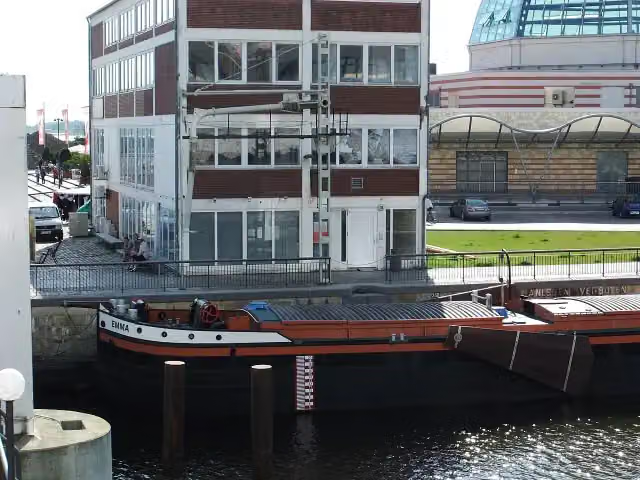
i
Photo: Mueck (talk) · Wikimedia Commons · CC BY-SA 3.0View the photo on Wikimedia CommonsAttraction · after 628 m
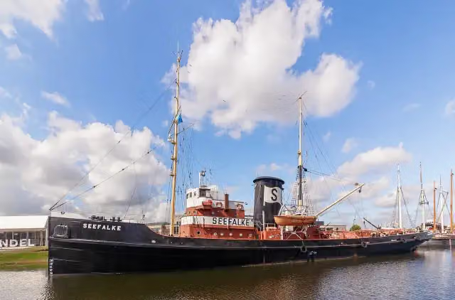
i
Photo: Llez · Wikimedia Commons · CC BY-SA 3.0View the photo on Wikimedia CommonsAttraction · after 655 m
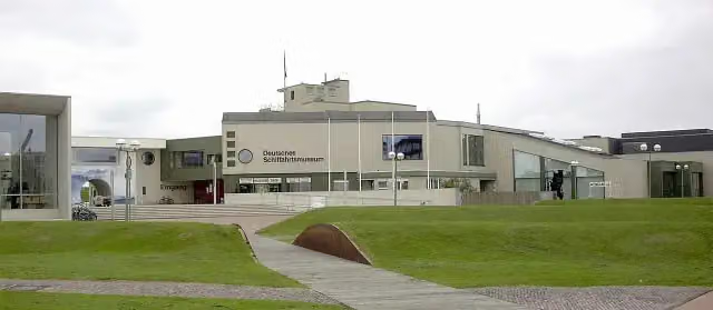
i
Photo: Uwe H. Friese · Wikimedia Commons · CC BY-SA 3.0View the photo on Wikimedia CommonsMuseum · after 665 m
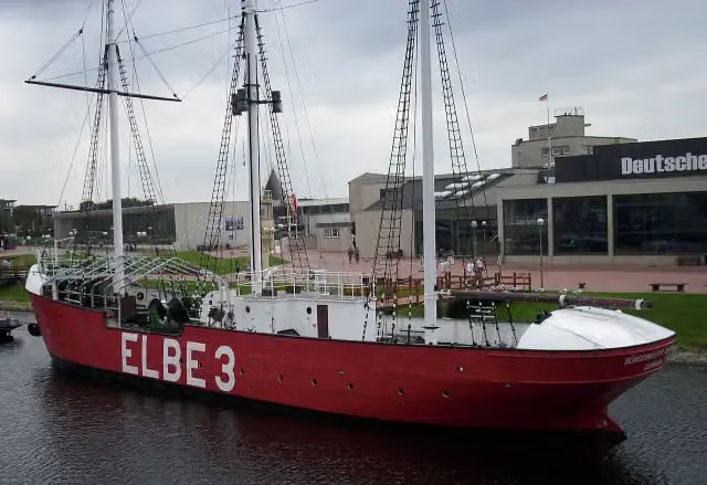
i
Photo: C.Mezzo-1 at de.wikipedia · Wikimedia Commons · CC BY-SA 3.0View the photo on Wikimedia CommonsAttraction · after 739 m
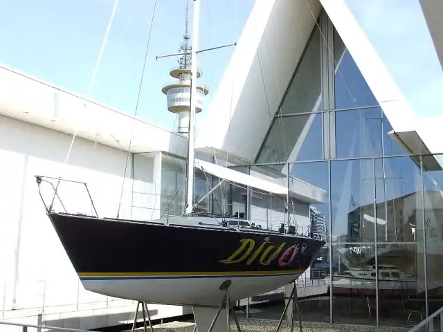
i
Photo: Mueck (talk) · Wikimedia Commons · CC BY-SA 3.0View the photo on Wikimedia CommonsAttraction · after 748 m
Stages (10)
- 1[D9] Weser-Romantische Straße Teil 189.2 km
- 2[D9] Weser-Romantische Straße Teil 2175.9 km
- 3[D9] Weser-Romantische Straße Teil 3152.4 km
- 4[D9] Weser-Romantische Straße Teil 4138.6 km
- 5[D9] Weser-Romantische Straße Teil 5100.1 km
- 6[D9] Weser-Romantische Straße Teil 6106 km
- 7[D9] Weser-Romantische Straße Teil 7139 km
- 8[D9] Weser-Romantische Straße Teil 8134.9 km
- 9[D9] Weser-Romantische Straße Teil 965.1 km
- 10[D9] Weser-Romantische Straße Teil 10143.8 km
Elevation and terrain
- Up
- ↑ 3,819 m
- Down
- ↓ 3,038 m
- Highest point
- 877 m
- Lowest point
- 0 m
- 5-10% slope · 5.6 km
Elevation from Copernicus GLO-30 (European Union and ESA), smoothed.
produced using Copernicus WorldDEM-30 © DLR e.V. 2010-2014 and © Airbus Defence and Space GmbH 2014-2018 provided under COPERNICUS by the European Union and ESA; all rights reserved
Way types
1,244.9 km in total- Track: 413 km
- Path: 260.6 km
- Road: 241 km
- Street: 194.9 km
- Cycle path: 67.3 km
- Busy road: 41.3 km
- Footpath (walk your bike): 20.7 km
- Unknown: 3.3 km
Surfaces
1,244.9 km in total- Asphalt: 1,010.5 km
- Paved: 107.8 km
- Gravel: 92.2 km
- Unpaved: 875 m
- Natural: 100 m
- Unknown: 30.6 km
About the cycle route Weser - Romantische Straße
Updated on 14 November 2026, with data from OpenStreetMap, the AHN and Copernicus.
Where do you cycle?
Weser - Romantische Straße is a cycle route of 1,244.9 km that starts in Bremerhaven. It does not end where it starts. Along the way you pass Klimahaus Bremerhaven (after 252 m), Helmut (after 505 m) and U-Boot Wilhelm Bauer (after 595 m).
How hard is the route?
You climb 3,819 m in total and descend 3,038 m. Allow ± 8:20 h per stage, without breaks. Per stage the level is hard.
What roads do you cycle on?
The longest part is track (413 km), path (260.6 km) and road (241 km). Of the surface, 1,010.5 km asphalt and 107.8 km paved. For 30.6 km the surface is not known.
Pitstops along the way
Within 100 metres of the route there are 3,241 benches, 64 water fountains and refill points, 226 public toilets, 50 bike pumps and 11 honesty boxes and farm vending machines. The longest stretch without a toilet is 65.6 km. The Outdoor Pitstop app navigates you there.
Cycle routes nearby
6- EuroVelo 12 - North Sea Cycle Route - part GermanyHard · From A to B929.4 km
- Weser-RadwegHard · From A to B515.4 km
- Nordseeküstenroute (Niedersachsen Bremerhaven-Hamburg)Hard · From A to B167.1 km
- Vom Teufelsmoor zum Wattenmeer AlternativeModerate · From A to B48 km
- Vom Teufelsmoor zum WattenmeerHard · From A to B80.2 km
- Nordseeküstenroute (Niedersachsen-Niederlande-Bremerhaven)Hard · From A to B377.5 km
Sights nearby
Within 10 km of the route, best known first.
- 1
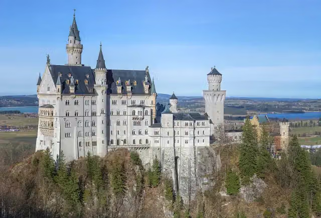 Neuschwanstein CastleAttraction · 682 m from the route
- 2
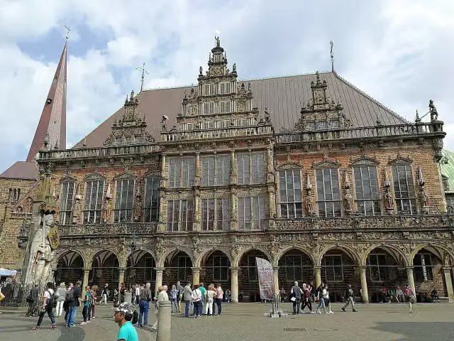 Town HallAttraction · 270 m from the route
- 3
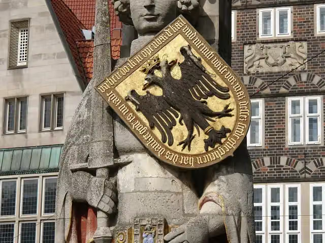 RolandAttraction · 224 m from the route
- 4
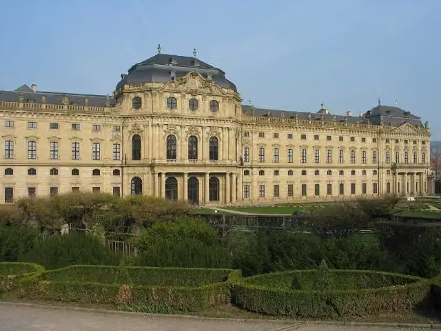 Würzburg ResidenceAttraction · 1 km from the route
- 5
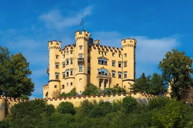 Schloss HohenschwangauAttraction · 156 m from the route
- 6
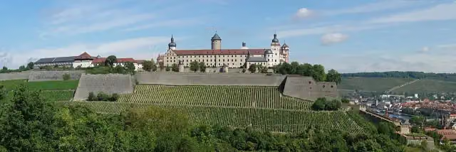 Marienberg FortressAttraction · 217 m from the route
- 7
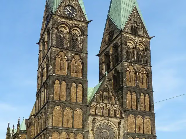 Saint Peter's CathedralAttraction · 287 m from the route
- 8
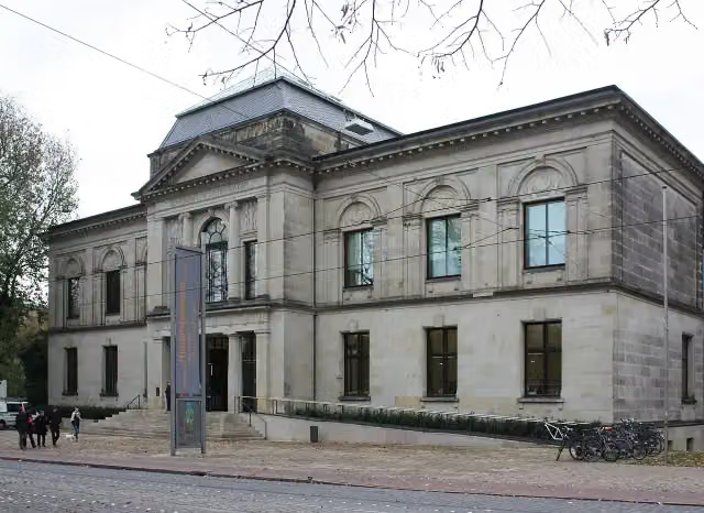 Kunsthalle BremenMuseum · 476 m from the route
- 9
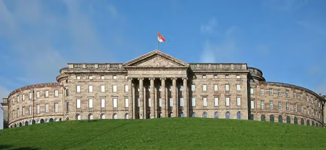 Wilhelmshöhe PalaceAttraction · 5.9 km from the route
- 10
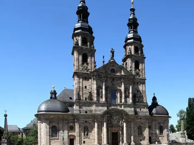 Dom St. SalvatorAttraction · 370 m from the route
- 11
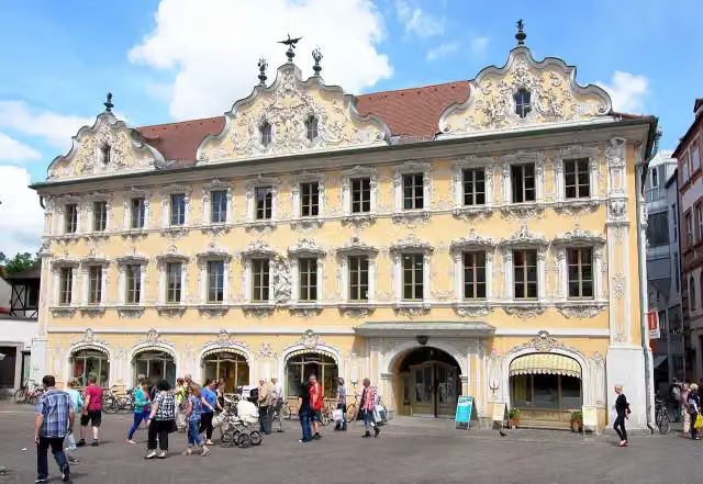 FalkenhausAttraction · 401 m from the route
- 12
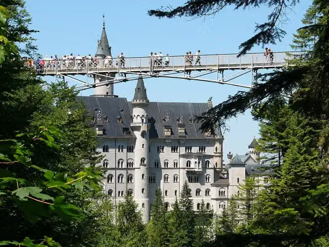 Queen Mary's BridgeAttraction · 688 m from the route
- 13
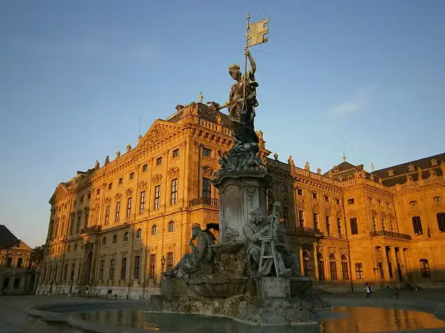 FrankoniabrunnenAttraction · 957 m from the route
- 14
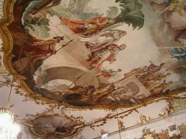 Kleiner Goldener SaalAttraction · 116 m from the route
- 15
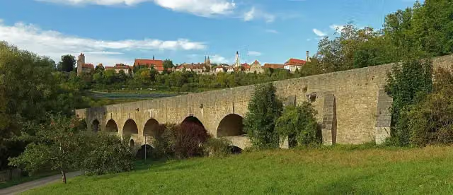 Double Bridge over the Tauber RiverAttraction · 300 m from the route
- 16
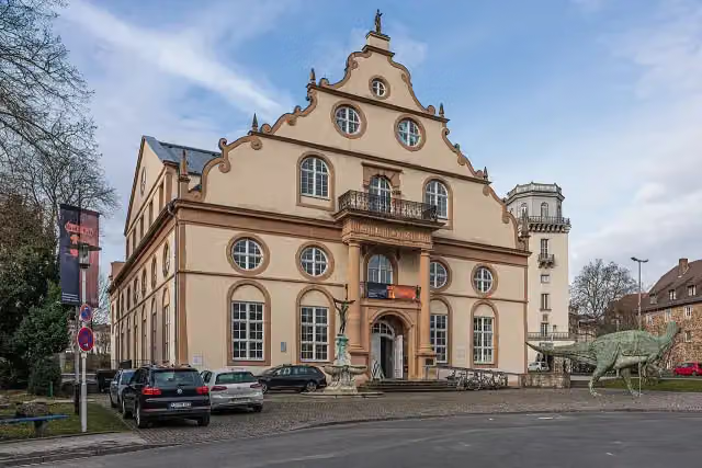 NaturkundemuseumMuseum · 314 m from the route
- 17
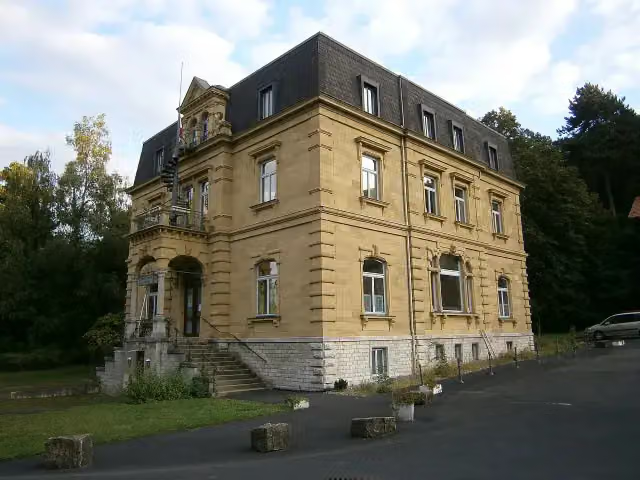 Siebold-MuseumMuseum · 360 m from the route
- 18
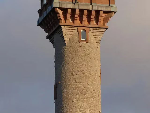 Aussichtsturm FrankenwarteObservation tower · 710 m from the route
- 19
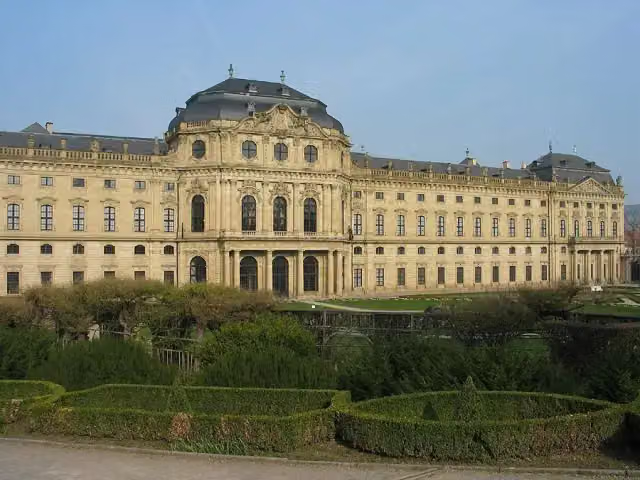 Martin-von-Wagner-MuseumMuseum · 1 km from the route
- 20
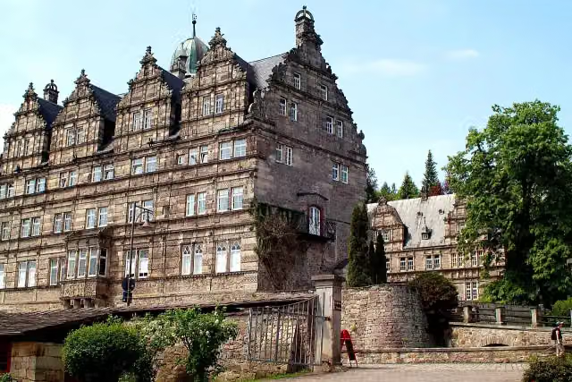 Schloss HämelschenburgAttraction · 4.2 km from the route
- 21
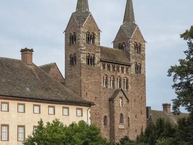 Abteikirche St. Stephanus und VitusAttraction · 139 m from the route
- 22
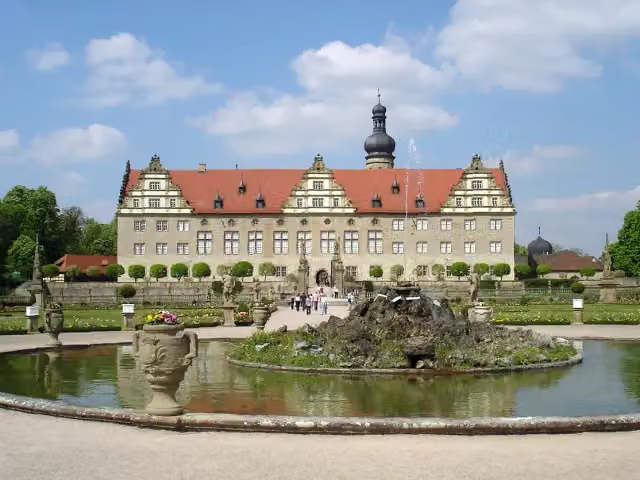 Schloss WeikersheimAttraction · 162 m from the route
- 23
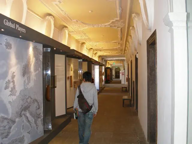 Museum der Stadt FüssenMuseum · 353 m from the route
- 24
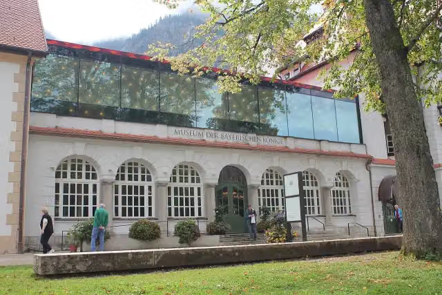 Museum of the Bavarian KingsMuseum · 378 m from the route
- 25
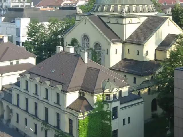 Jewish Museum Augsburg SwabiaMuseum · 528 m from the route
Explore more
Frequently asked questions
How long is Weser - Romantische Straße?
Weser - Romantische Straße is 1,244.9 km long, in 10 parts of 124.5 km on average. Allow ± 8:20 h per part of riding: 15 km an hour, without breaks.
Is this route a circular ride?
No, the route starts and ends at different spots.
Where does this route start?
The route starts in Bremerhaven.
How hard is this route?
Hard per stage, with 382 m per stage of climbing.
Are there toilets along this route?
Yes, there are 226 public toilets within 100 m of the route. The longest stretch without a toilet is 65.6 km.
Can you fill up with water along this route?
Yes, there are 64 water fountains and refill points within 100 m of the route.
What is there to see along this route?
Along the way you pass Klimahaus Bremerhaven, Helmut and U-Boot Wilhelm Bauer.
Can I download this route as a GPX file?
Yes. Sign in with your Outdoor Pitstop account and choose Download GPX at the top of this page: 10 routes a month for free, unlimited with Pro.
Starting point
More routes from this place
Route data © OpenStreetMap contributors





