 Outdoor Pitstop
Walking route · Brandenburg an der Havel · Updated on 13 November 2026
Jakobswege Brandenburg walk
Jakobswege Brandenburg is a walk of 832.5 km from Brandenburg an der Havel. Along the way you'll find 2,099 benches, 20 water fountains and refill points, 64 public toilets, 12 bike pumps and 1 honesty box.
i
i
i
The route step by step
From start to finish, with what you pass along the way and the distance in between.
- 832.5 km
- ± 18:55 h per stage
- ↑ 2,350 m · ↓ 2,231 m
- Hard per stage
- From A to B
- National route
Pick a stage to see the pitstops per kilometre. Along the way you'll find 2,099 benches, 20 water fountains and refill points, 64 public toilets, 12 bike pumps and 1 honesty box.
Follow these steps in the appThe route with the water points, toilets and sights within 100 m of it.
90 sights along the way
In the order you pass them. With the Outdoor Pitstop app you hear their story on the spot. 82 more along the route are on the map.
i
Photo: No machine-readable author provided. Martinum~commonswiki assumed (based on copyright claims). · Wikimedia Commons · CC BY-SA 3.0View the photo on Wikimedia CommonsMemorial
i
Photo: A.Savin · Wikimedia Commons · CC BY-SA 3.0View the photo on Wikimedia CommonsAttraction
i
Photo: Auregann · Wikimedia Commons · CC BY-SA 3.0View the photo on Wikimedia CommonsAttraction
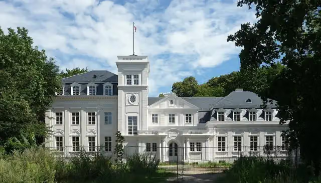
i
Photo: Suse · Wikimedia Commons · CC BY-SA 4.0View the photo on Wikimedia CommonsAttraction
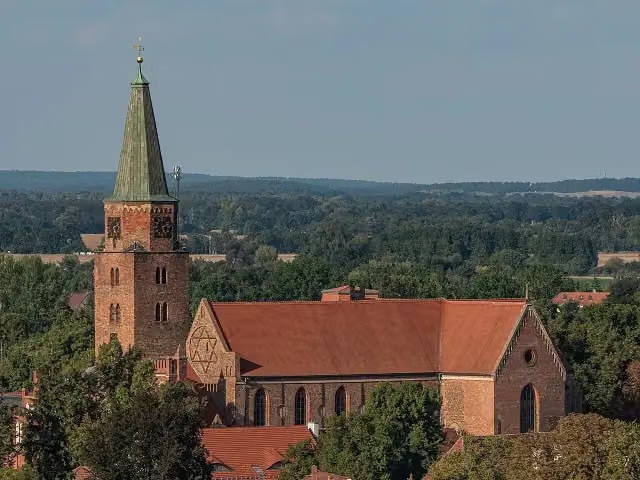
i
Photo: A.Savin · Wikimedia Commons · FALView the photo on Wikimedia CommonsAttraction
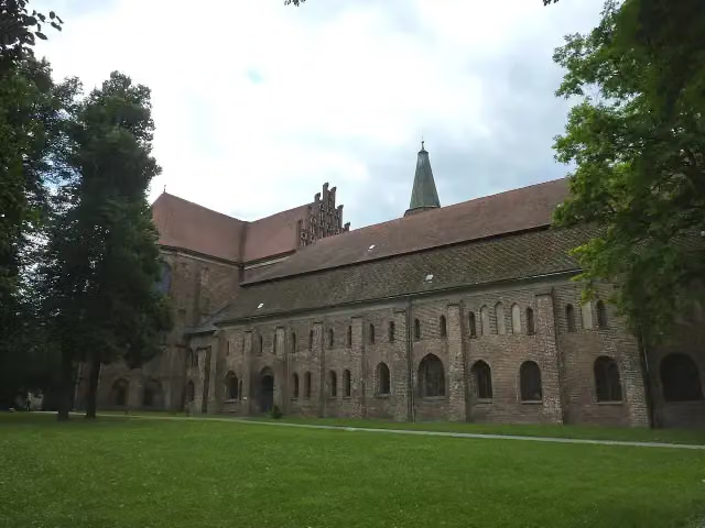
i
Photo: Chris06 · Wikimedia Commons · CC BY-SA 4.0View the photo on Wikimedia CommonsMuseum
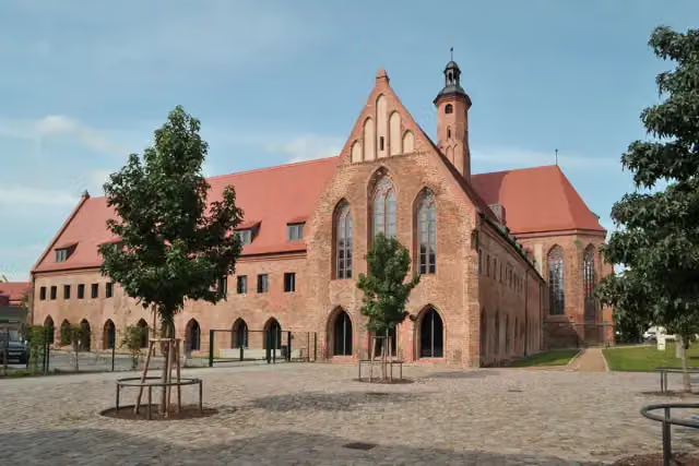
i
Photo: Sommer · Wikimedia Commons · CC BY-SA 3.0View the photo on Wikimedia CommonsMuseum
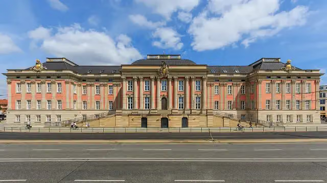
City Palace
Castle
Stages (10)
- 1Jakobsweg Potsdam - Vehlen88.9 km
- 2JW Brandenburg Alternativroute (Lebus)26.8 km
- 3Jakobsweg Brandenburg Südroute108.2 km
- 4Pilgerweg Berlin - Bad Wilsnack120.3 km
- 5JW Brandenburg Fürstenwalde/Spree-Müncheberg Verbindungsroute23.9 km
- 6Jakobsweg Frankfurt/Oder - Leipzig190.9 km
- 7Jakobsweg ...-Goyatz-Waldow-Straupitz-...18.7 km
- 8JW Brandenburg Nordroute (FF/O - Muencheberg - Berlin)112.6 km
- 9Jakobsweg Via Imperii SzczecinPL- BerlinDE184.7 km
- 10JW Brandenburg Nebenroute Nordroute (FF/O - Muencheberg - Berlin)8.2 km
Elevation and terrain
- Up
- ↑ 2,350 m
- Down
- ↓ 2,231 m
- Highest point
- 141 m
- Lowest point
- 2 m
- 5-10% slope · 1.3 km
- 20 stairs
Elevation from Copernicus GLO-30 (European Union and ESA), smoothed.
produced using Copernicus WorldDEM-30 © DLR e.V. 2010-2014 and © Airbus Defence and Space GmbH 2014-2018 provided under COPERNICUS by the European Union and ESA; all rights reserved
Way types
832.5 km in total- Track: 372.2 km
- Street: 166.8 km
- Path: 126.8 km
- Road: 124.4 km
- Footpath: 58.7 km
- Busy road: 27.9 km
- Cycleway: 3.4 km
- Stairs: 20 stairs
- Unknown: 400 m
Surfaces
832.5 km in total- Asphalt: 309.7 km
- Paved: 155.5 km
- Gravel: 136.6 km
- Unpaved: 112.8 km
- Natural: 47.2 km
- Unknown: 119.9 km
About the walking route Jakobswege Brandenburg
Updated on 13 November 2026, with data from OpenStreetMap, the AHN and Copernicus.
Where do you walk?
Jakobswege Brandenburg is a walking route of 832.5 km that starts in Brandenburg an der Havel. It does not end where it starts.
How hard is the route?
You climb 2,350 m in total and descend 2,231 m. There are 20 flights of steps along the way. Allow ± 18:55 h per stage, without breaks. Per stage the level is hard.
What paths do you walk on?
The longest part is track (372.2 km), street (166.8 km) and path (126.8 km). Of the surface, 309.7 km asphalt and 155.5 km paved. For 119.9 km the surface is not known.
Pitstops along the way
Within 100 metres of the route there are 2,099 benches, 20 water fountains and refill points, 64 public toilets, 12 bike pumps and 1 honesty box. The Outdoor Pitstop app navigates you there.
Walks nearby
2Sights nearby
Within 10 km of the route, best known first.
- 1
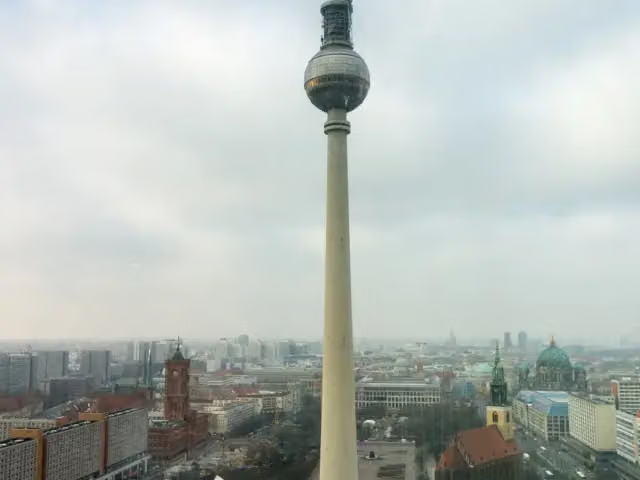 Fernsehturm BerlinAttraction · 1.5 km from the route
- 2
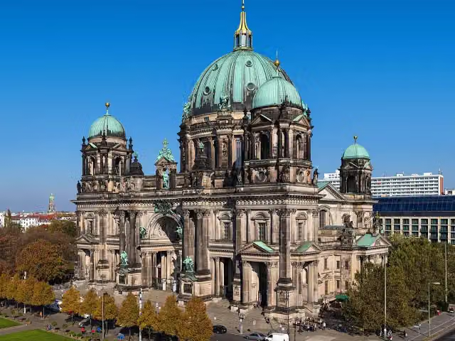 Berlin CathedralAttraction · 993 m from the route
- 3
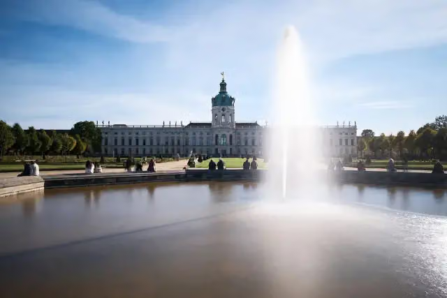 Charlottenburg PalaceCastle · 5.2 km from the route
- 4
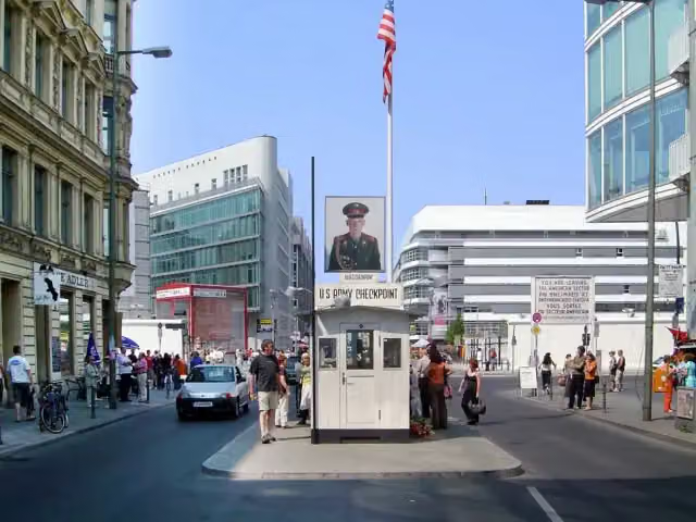 Checkpoint CharlieAttraction · 1.3 km from the route
- 5
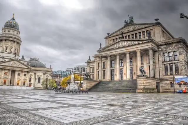 GendarmenmarktAttraction · 939 m from the route
- 6
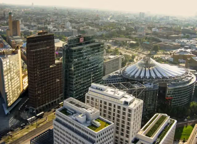 Potsdamer PlatzAttraction · 767 m from the route
- 7
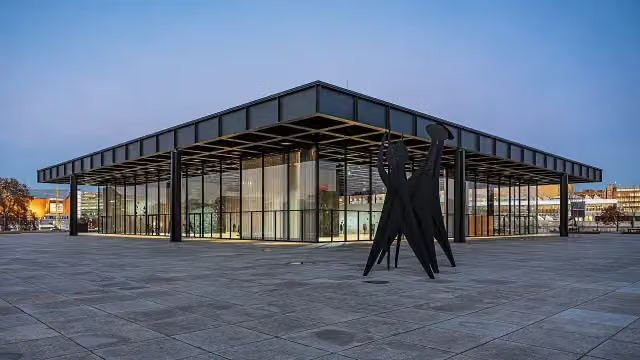 Neue NationalgalerieMuseum · 1.2 km from the route
- 8
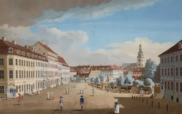 Hackescher MarktAttraction · 1 km from the route
- 9
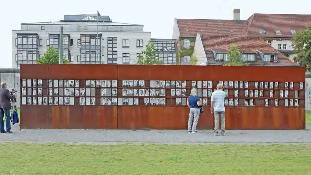 Berlin Wall MemorialAttraction · 1.3 km from the route
- 10
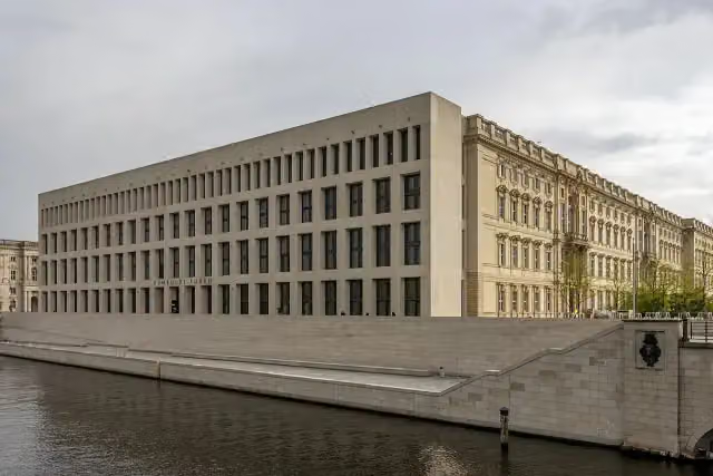 Humboldt ForumMuseum · 1.1 km from the route
- 11
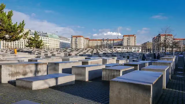 Memorial to the Murdered Jews of EuropeAttraction · 271 m from the route
- 12
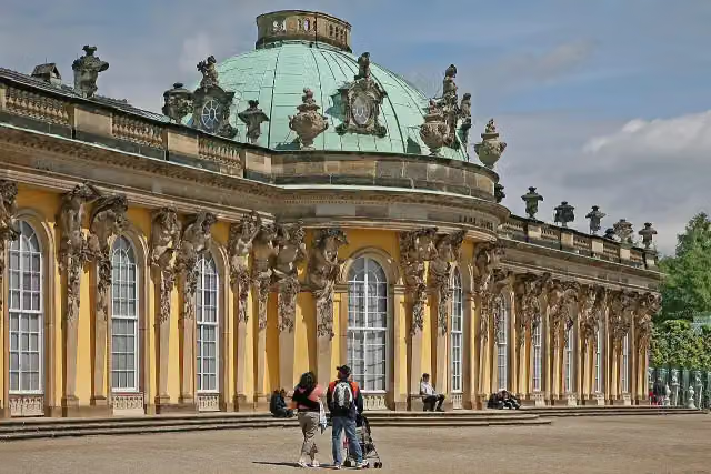 Sanssouci PalaceAttraction · 1.3 km from the route
- 13
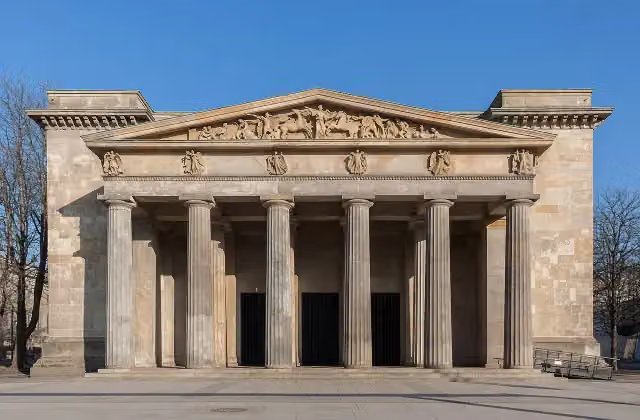 New Guard HouseAttraction · 734 m from the route
- 14
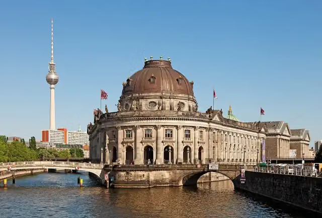 Museum IslandAttraction · 736 m from the route
- 15
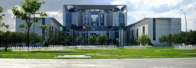 Federal ChancelleryAttraction · 561 m from the route
- 16
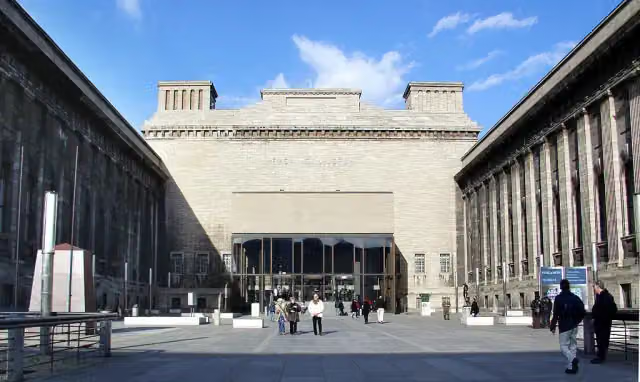 Pergamon MuseumMuseum · 642 m from the route
- 17
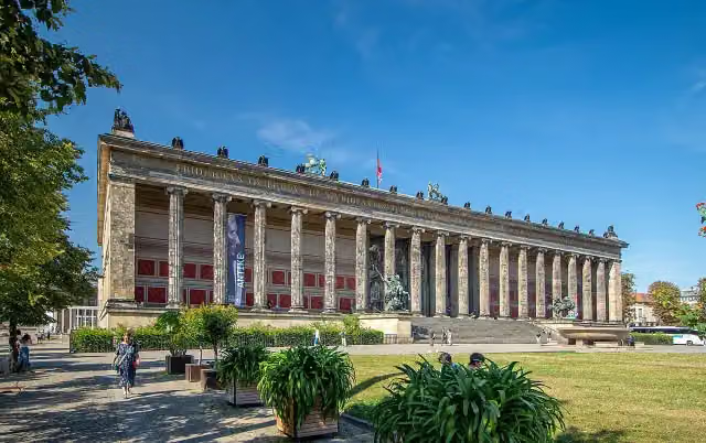 Old MuseumMuseum · 834 m from the route
- 18
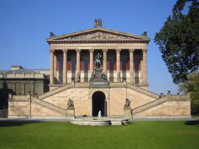 Old National GalleryMuseum · 754 m from the route
- 19
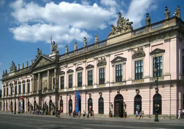 German Historical MuseumMuseum · 822 m from the route
- 20
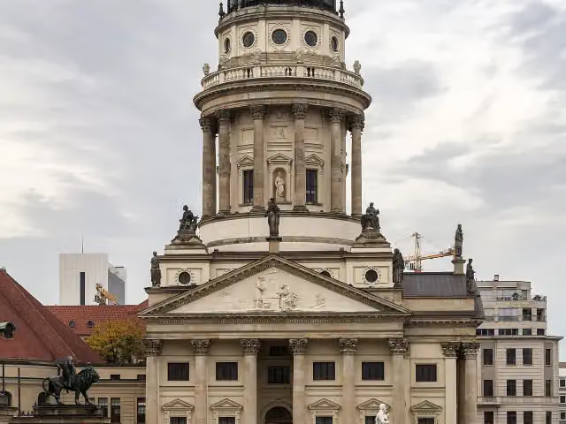 French CathedralAttraction · 873 m from the route
- 21
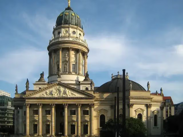 New ChurchAttraction · 1 km from the route
- 22
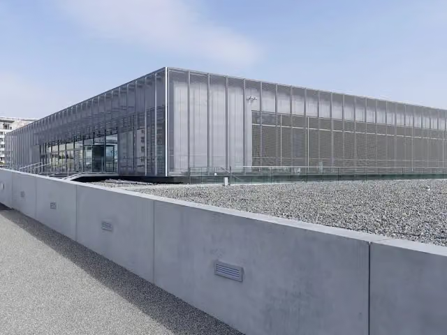 Topography of TerrorMuseum · 1.2 km from the route
- 23
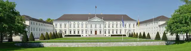 Bellevue PalaceAttraction · 1.6 km from the route
- 24
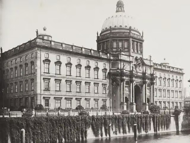 Berlin PalaceAttraction · 1.1 km from the route
- 25
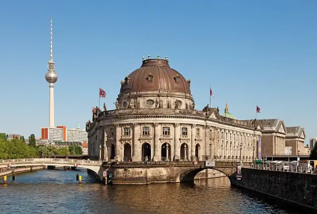 Bode MuseumMuseum · 519 m from the route
Explore more
Frequently asked questions
How long is Jakobswege Brandenburg?
Jakobswege Brandenburg is 832.5 km long, in 10 parts of 83.3 km on average. Allow ± 18:55 h per part of walking: 4.5 km an hour and 10 minutes more per 100 metres of climbing, without breaks.
Is this route a circular walk?
No, the route starts and ends at different spots.
Where does this route start?
The route starts in Brandenburg an der Havel.
How hard is this route?
Hard per stage, with 235 m per stage of climbing.
Are there toilets along this route?
Yes, there are 64 public toilets within 100 m of the route.
Can you fill up with water along this route?
Yes, there are 20 water fountains and refill points within 100 m of the route.
What is there to see along this route?
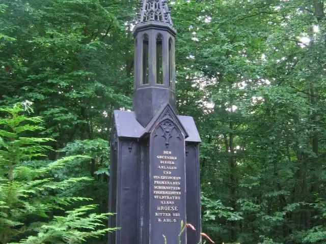
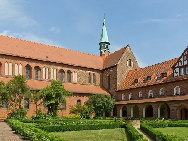
Along the way you pass Brösedenkmal, Kloster Lehnin and Bittschriftenlinde.
Can I download this route as a GPX file?
Yes. Sign in with your Outdoor Pitstop account and choose Download GPX at the top of this page: 10 routes a month for free, unlimited with Pro.
Starting point
More routes from this place
Route data © OpenStreetMap contributors





