 Outdoor Pitstop
Walking route · Hoeksche Waard · Updated on 6 November 2026
Vlietmondingroute walk
Vlietmondingroute is a walk of 863 m from Hoeksche Waard. Along the way you'll find 1 bench and 1 public toilet.
The route step by step
From start to finish, with what you pass along the way and the distance in between.
- 863 m
- ± 10 min
- ↑ 0 m · ↓ 0 m
- Easy
- From A to B
- Local route
Start in Hoeksche Waard
0 kmAt the start: public toilet.
863 m · bench
Finish
863 m
Longest stretch without a toilet: 839 mBetween 24 m and 863 m there is no public toilet within 100 m of the route.
The route with the pitstops and sights within 100 m of it.
Elevation and terrain
- Up
- ↑ 0 m
- Down
- ↓ 0 m
- Highest point
- 5 m
- Lowest point
- 3 m
Nowhere steeper than 5%.
Elevation from AHN (Rijkswaterstaat), smoothed.
Way types
863 m in total- Track: 711 m
- Footpath: 150 m
Surfaces
863 m in total- Unknown: 861 m
About the walking route Vlietmondingroute
Updated on 6 November 2026, with data from OpenStreetMap and the AHN.
Where do you walk?
Vlietmondingroute is a walking route of 863 m that starts in Hoeksche Waard. It does not end where it starts.
How hard is the route?
The route is almost flat. You climb 0 m in total and descend 0 m. Allow ± 10 min, without breaks. The level is easy.
What paths do you walk on?
The longest part is track (711 m) and footpath (150 m). For 861 m the surface is not known.
Pitstops along the way
Within 100 metres of the route there are 1 bench and 1 public toilet. The longest stretch without a toilet is 839 m. The Outdoor Pitstop app navigates you there.
Walks nearby
6- Het eiland rond, de oeverloopEasy · From A to B7.5 km
- De StaartEasy · From A to B1.4 km
- Grote Rivierenpad - 4Moderate · From A to B18.1 km
- Grote Rivierenpad - 3Moderate · From A to B14.9 km
- Grote Rivierenpad - 20 - Variant ErasmuspadHard · From A to B20.7 km
- Negentien MorgenvlietrouteEasy · Circular walk5 km
Sights nearby
Within 10 km of the route, best known first.
- 1
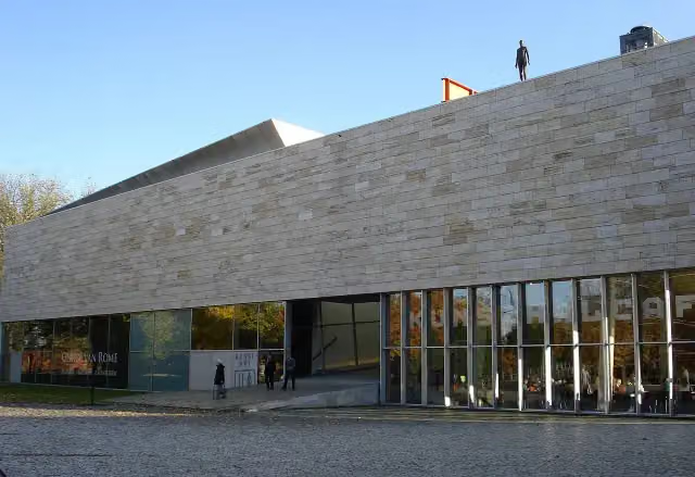 KunstHALMuseum · 9 km from the route
- 2
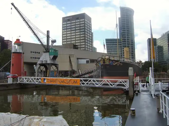 Maritime MuseumMuseum · 9.9 km from the route
- 3
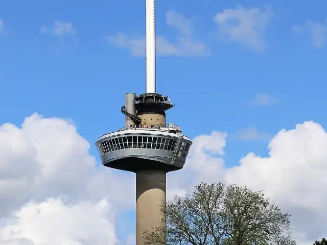 EuromastAttraction · 8.3 km from the route
- 4
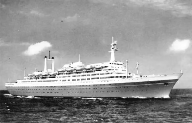 SS RotterdamAttraction · 7.6 km from the route
- 5
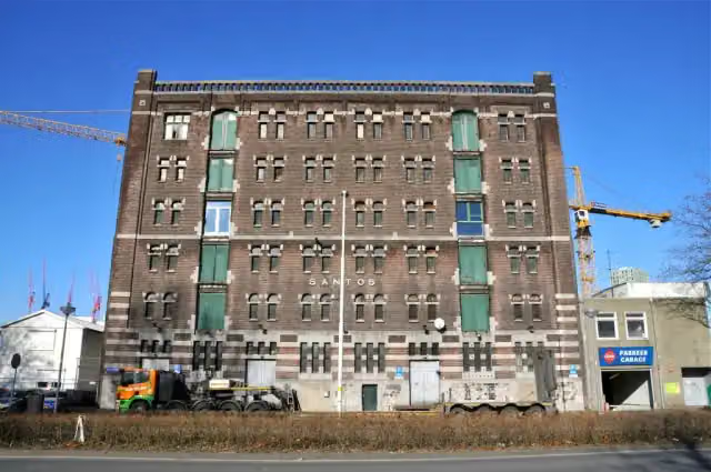 Nederlands FotomuseumMuseum · 8.7 km from the route
- 6
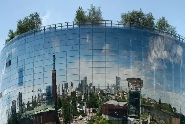 Depot Boijmans Van BeuningenMuseum · 9.3 km from the route
- 7
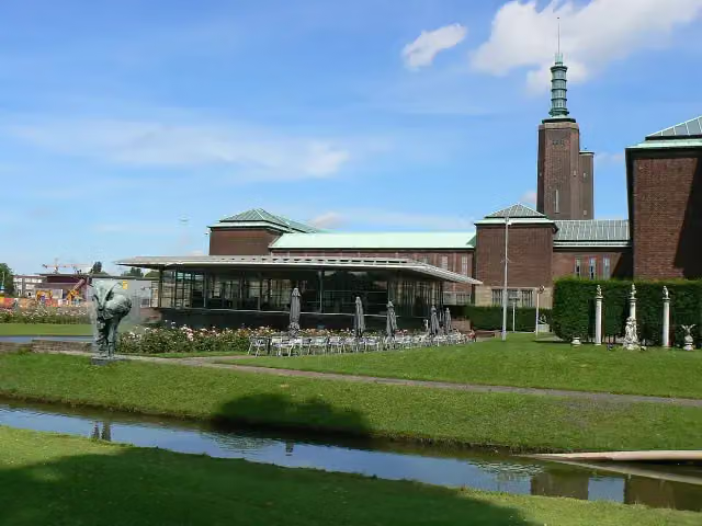 Museum Boijmans Van BeuningenMuseum · 9.4 km from the route
- 8
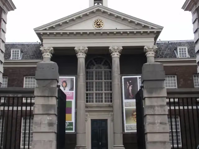 Stedelijk Museum SchiedamMuseum · 9.7 km from the route
- 9
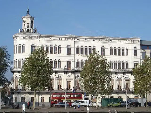 Wereldmuseum RotterdamMuseum · 8.8 km from the route
- 10
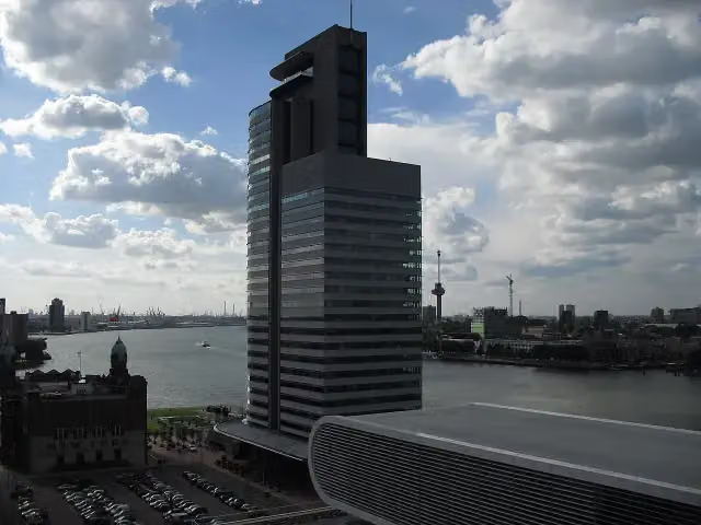 World Port CenterAttraction · 8.6 km from the route
- 11
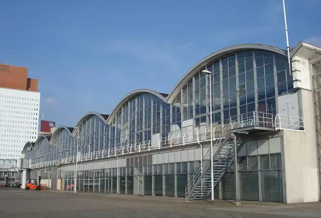 Rotterdam Cruise TerminalAttraction · 8.8 km from the route
- 12
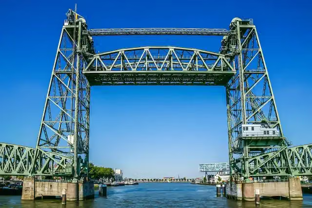 De HefAttraction · 9.9 km from the route
- 13
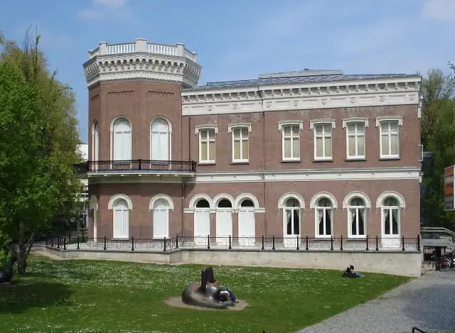 Natuurhistorisch Museum RotterdamMuseum · 9 km from the route
- 14
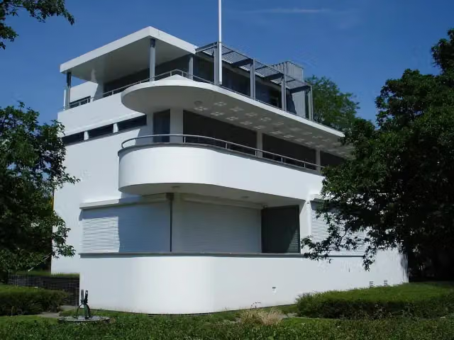 Chabot MuseumMuseum · 9.4 km from the route
- 15
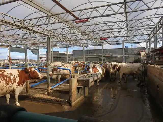 Floating FARMAttraction · 9.1 km from the route
- 16
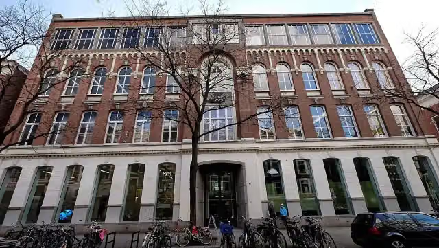 Kunstinstituut MellyMuseum · 9.6 km from the route
- 17
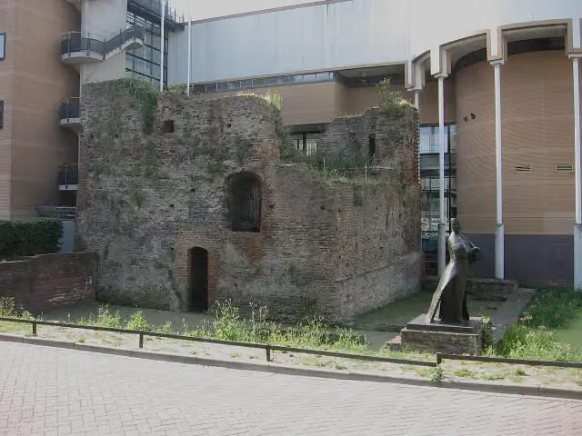 Huis te RiviereRuins · 9.8 km from the route
- 18
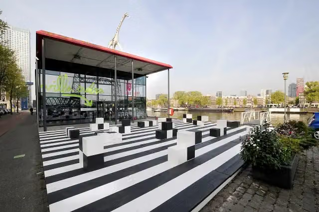 Villa ZebraMuseum · 9.6 km from the route
- 19
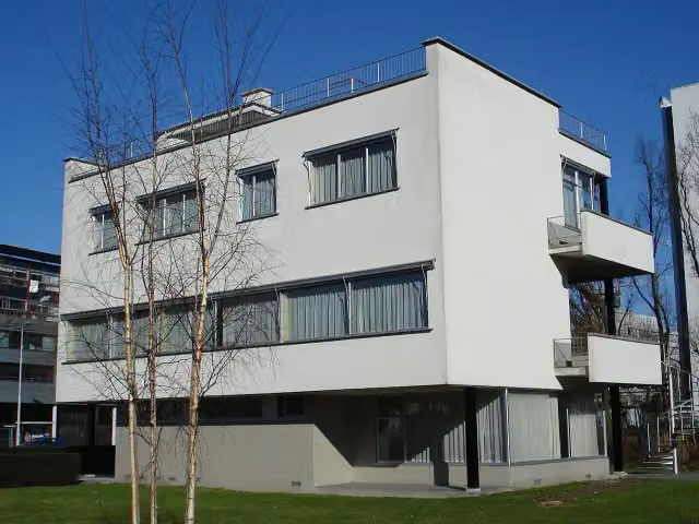 Sonneveld HouseMuseum · 9.5 km from the route
- 20
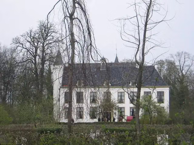 Kasteel van RhoonCastle · 3.5 km from the route
- 21
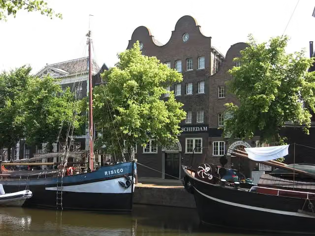 The Distilleries MuseumMuseum · 9.6 km from the route
- 22
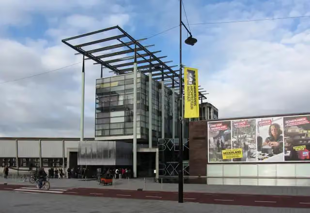 Nieuwe InstituutMuseum · 9.4 km from the route
- 23
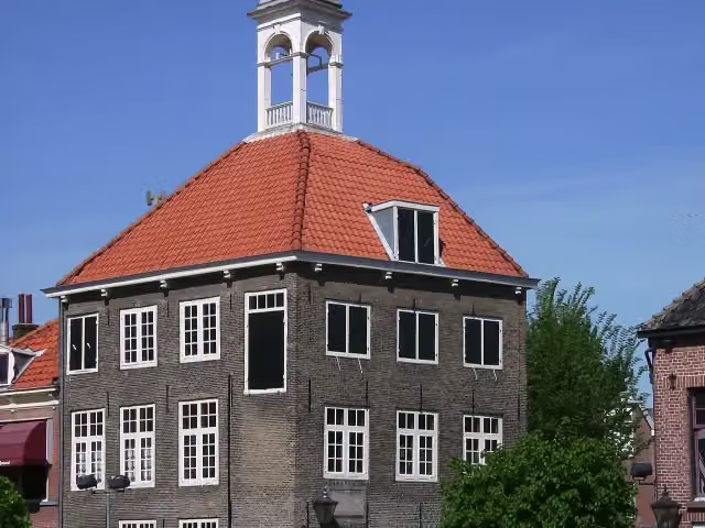 ZakkendragershuisjeAttraction · 10 km from the route
- 24
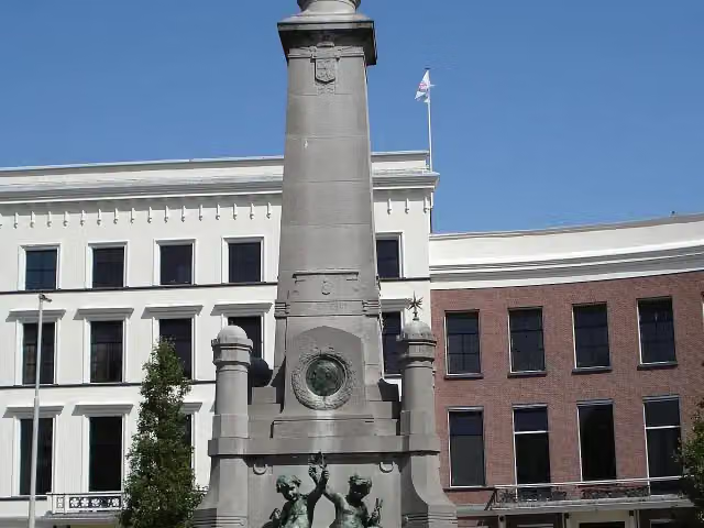 CalandmonumentMonument · 8.8 km from the route
- 25
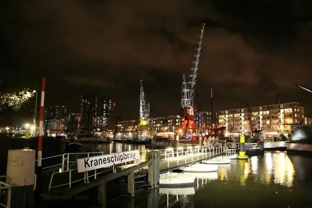 HavenmuseumMuseum · 9.7 km from the route
Explore more
Frequently asked questions
How long is Vlietmondingroute?
Vlietmondingroute is 863 m long. Allow ± 10 min of walking: 4.5 km an hour and 10 minutes more per 100 metres of climbing, without breaks.
Is this route a circular walk?
No, the route starts and ends at different spots.
Where does this route start?
The route starts in Hoeksche Waard.
How hard is this route?
Easy.
Are there toilets along this route?
Yes, there are 1 public toilet within 100 m of the route. The longest stretch without a toilet is 839 m.
Can you fill up with water along this route?
No, there is no water point within 100 m of the route. Bring enough water.
Starting point
More routes from this place
Route data © OpenStreetMap contributors





