 Outdoor Pitstop
Walking route · Kranenburg · European long distance path E8, North Rhine-Westphalia · Updated on 5 November 2026
Europäischer Fernwanderweg E8, Nordrhein-Westfalen walk
Europäischer Fernwanderweg E8, Nordrhein-Westfalen is a walk of 26 km from Kranenburg. Along the way: 35 benches and picnic tables.
i
i
i
The route step by step
From start to finish, with what you pass along the way and the distance in between.
- 26 km
- ± 5:45 h
- Hard
- From A to B
- International route
This route is in pieces in OpenStreetMap, so there are no kilometres per pitstop. Along the way: 35 benches and picnic tables.
Follow these steps in the appNo public toilet along the wayThere is no public toilet within 100 m of the route. Go before you start, or find one a bit further away in the app.
The route with the pitstops and sights within 100 m of it.
Elevation and terrain
Way types
26 km in total- Track: 15.5 km
- Road: 4.6 km
- Path: 4.4 km
- Cycleway: 925 m
- Street: 528 m
- Stairs: 2 stairs
Surfaces
26 km in total- Gravel: 8.3 km
- Unpaved: 5.1 km
- Asphalt: 5.1 km
- Natural: 1.6 km
- Paved: 550 m
- Unknown: 5.3 km
About the walking route Europäischer Fernwanderweg E8, Nordrhein-Westfalen
Updated on 5 November 2026, with data from OpenStreetMap and the AHN.
Where do you walk?
Europäischer Fernwanderweg E8, Nordrhein-Westfalen is a walking route of 26 km that starts in Kranenburg. It does not end where it starts. You start in Wyler and finish in Rolandswerth.
How hard is the route?
There are 2 flights of steps along the way. Allow ± 5:45 h, without breaks. The level is hard.
What paths do you walk on?
The longest part is track (15.5 km), road (4.6 km) and path (4.4 km). Of the surface, 8.3 km gravel and 5.1 km unpaved. For 5.3 km the surface is not known.
Pitstops along the way
Within 100 metres of the route there are 35 benches and picnic tables. There is no public toilet within 100 metres of the route. The Outdoor Pitstop app navigates you there.
Part of Europäischer Fernwanderweg E8, Deutschland (European long distance path E8 - part Germany)
Website of the routeWalks nearby
6- Grote Rivierenpad - 14Moderate · From A to B13.4 km
- Streekpad Rijk van Nijmegen - 07Moderate · From A to B17.6 km
- Streekpad Rijk van Nijmegen - 06Easy · From A to B8.1 km
- Wandelroute GrensEasy · Circular walk2 km
- N70 NatuurwandelrouteModerate · Circular walk14.1 km
- X7 KleverlandwegEasy · From A to B7.6 km
Sights nearby
Within 10 km of the route, best known first.
- 1
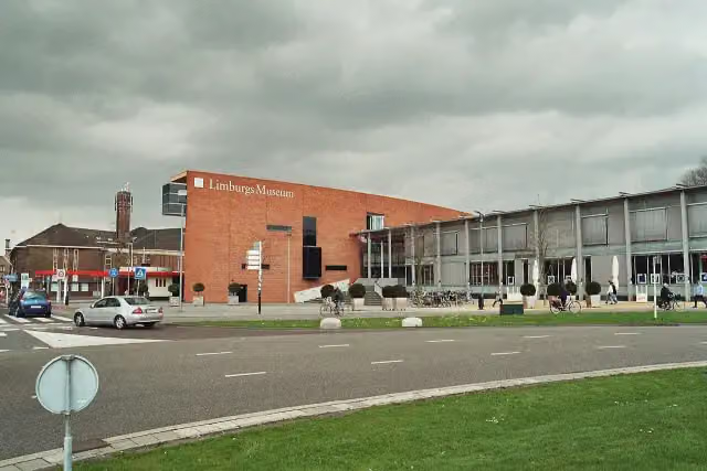 Limburgs MuseumMuseum · 6 km from the route
- 2
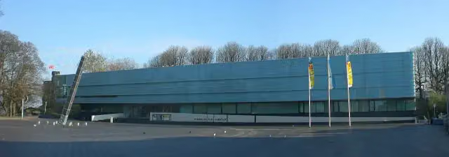 Valkhof MuseumMuseum · 6.2 km from the route
- 3
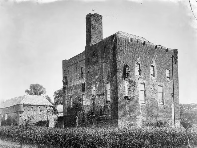 Kasteel DoornenburgAttraction · 9.3 km from the route
- 4
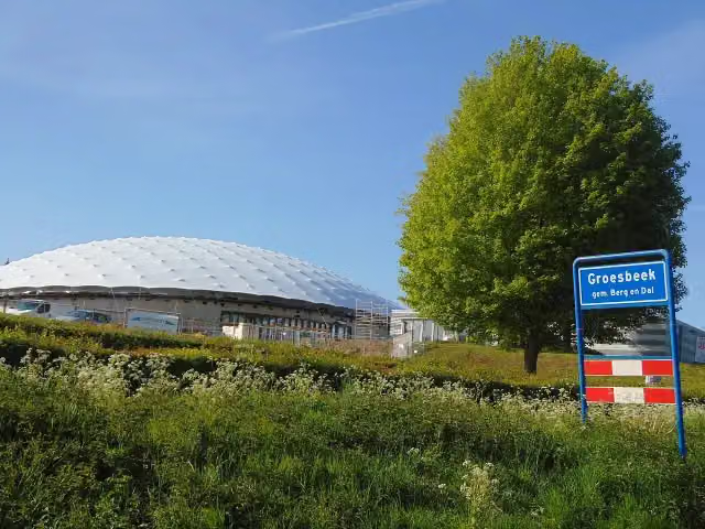 Freedom MuseumMuseum · 3.1 km from the route
- 5
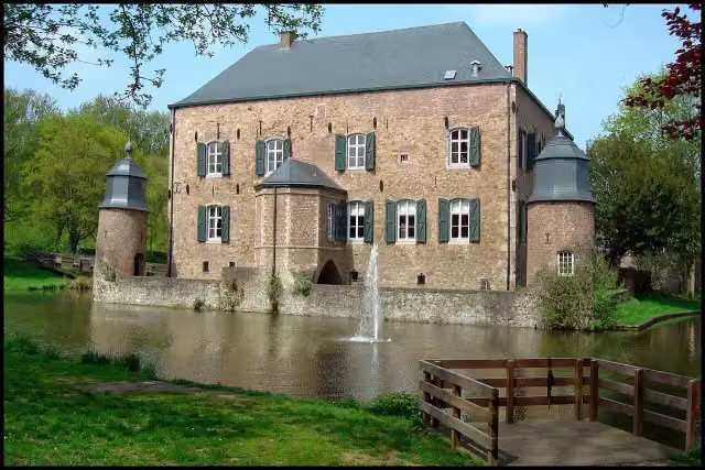 Kasteel ErensteinCastle · 2.1 km from the route
- 6
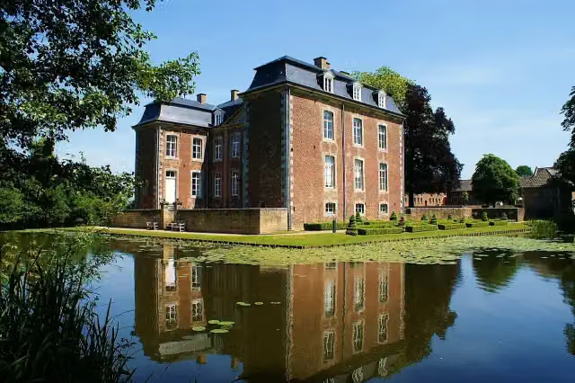 Kasteel CortenbachCastle · 9.9 km from the route
- 7
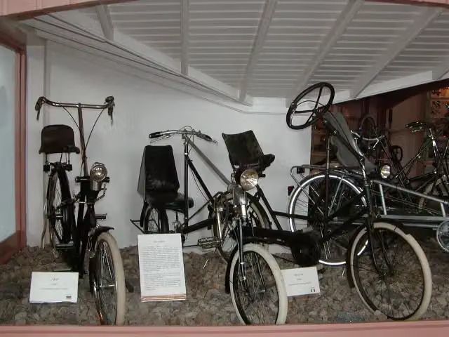 Nationaal Fietsmuseum VeloramaMuseum · 6.4 km from the route
- 8
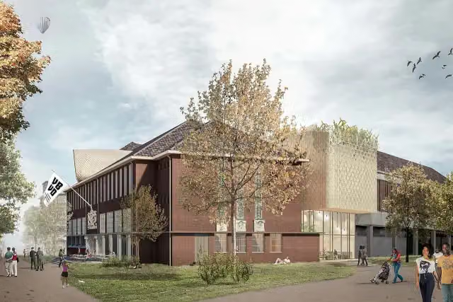 Museum van Bommel van DamMuseum · 6 km from the route
- 9
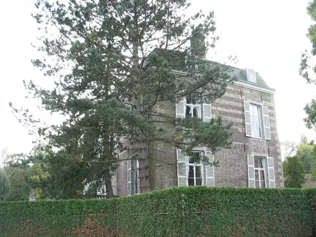 Kasteel StrijthagenCastle · 3 km from the route
- 10
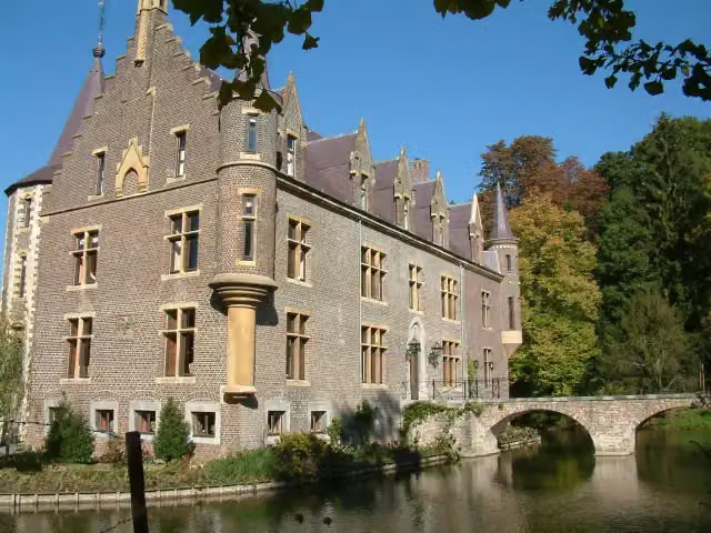 Kasteel TerwormCastle · 8.8 km from the route
- 11
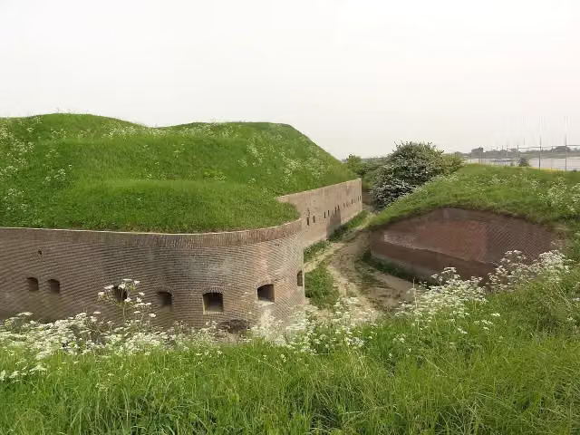 Fort PannerdenAttraction · 8.7 km from the route
- 12
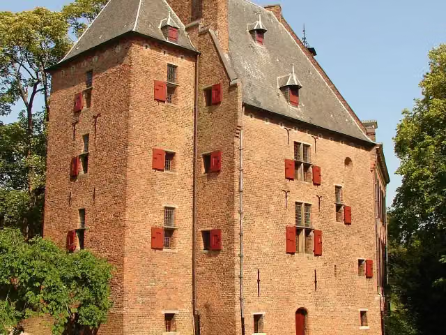 De KinkelenburgCastle · 8.9 km from the route
- 13
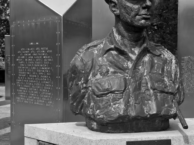 Nationaal Indië MonumentMemorial · 9.7 km from the route
- 14
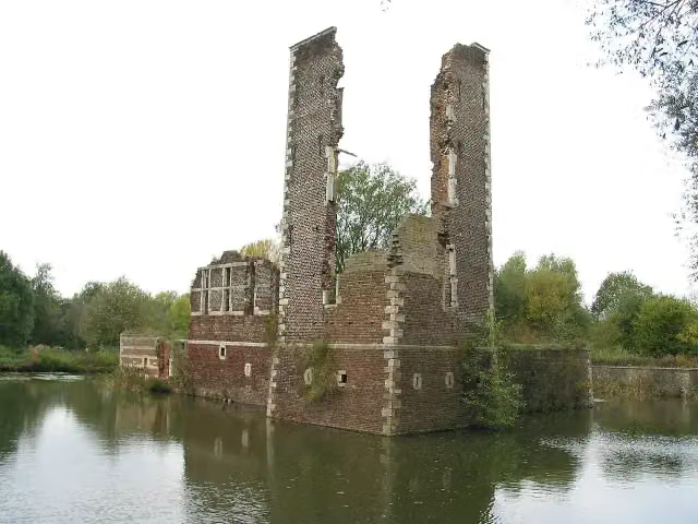 Kasteelruïne SchaesbergRuins · 5.5 km from the route
- 15
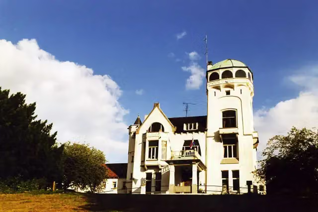 Jachtslot De MookerheideCastle · 6.5 km from the route
- 16
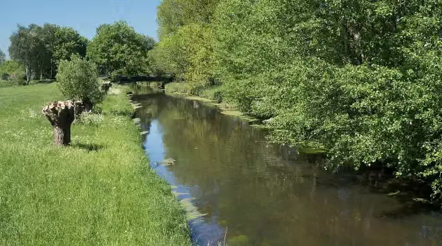 NiersmündungAttraction · 9.7 km from the route
- 17
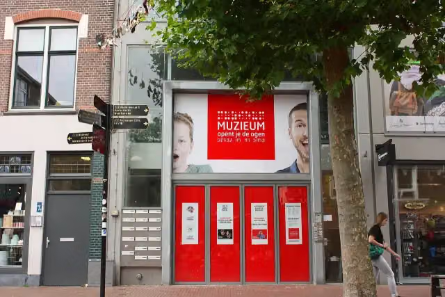 MuZIEumMuseum · 6.6 km from the route
- 18
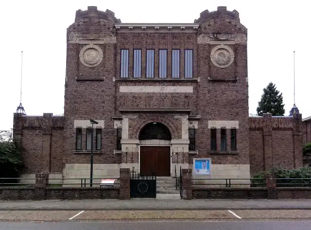 Museum KamMuseum · 5.6 km from the route
- 19
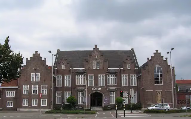 CuypershuisMuseum · 9.2 km from the route
- 20
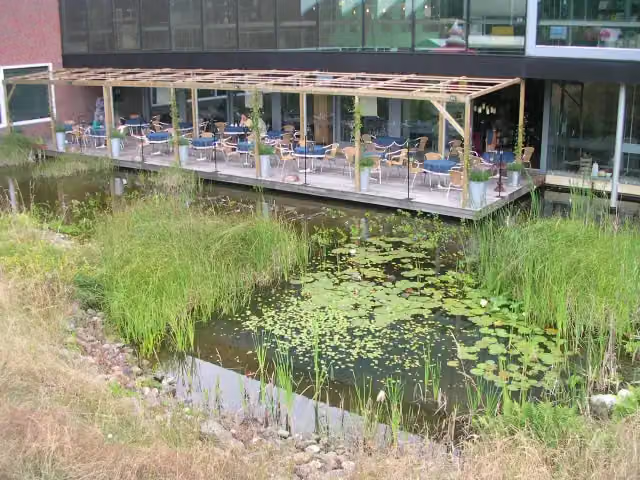 Discovery MuseumMuseum · 2.4 km from the route
- 21
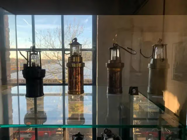 Nederlands MijnmuseumMuseum · 6.8 km from the route
- 22
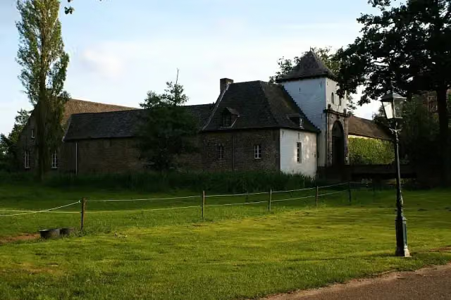 Kasteel DaelenbroeckCastle · 6.1 km from the route
- 23
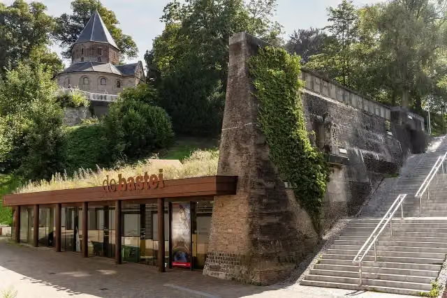 Museum De BasteiMuseum · 6.5 km from the route
- 24
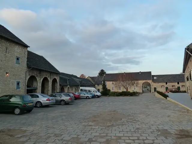 Hoeve OverhuizenCastle · 7.7 km from the route
- 25
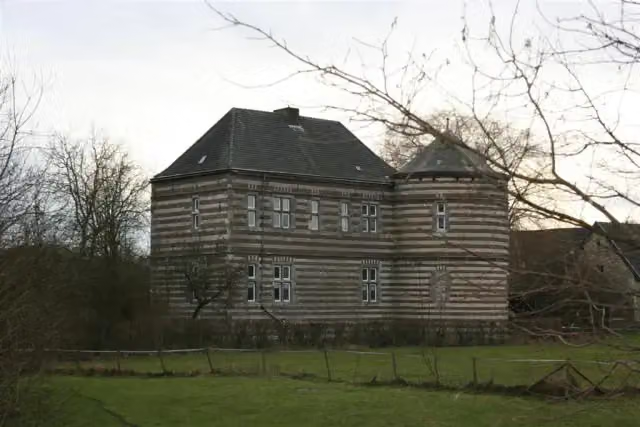 Kasteel De BongardCastle · 7.9 km from the route
Explore more
More walks around Kranenburg
Frequently asked questions
How long is Europäischer Fernwanderweg E8, Nordrhein-Westfalen?
Europäischer Fernwanderweg E8, Nordrhein-Westfalen is 26 km long. Allow ± 5:45 h of walking: 4.5 km an hour and 10 minutes more per 100 metres of climbing, without breaks.
Is this route a circular walk?
No, the route runs from Wyler to Rolandswerth.
Where does this route start?
The route starts in Kranenburg.
How hard is this route?
Hard.
Are there toilets along this route?
No, there is no public toilet within 100 m of the route. Go before you start.
Can you fill up with water along this route?
No, there is no water point within 100 m of the route. Bring enough water.
Start place
More routes from this place
Route data © OpenStreetMap contributors





