 Outdoor Pitstop
Walking route · Twist · Updated on 5 November 2026
Hünenweg - total walk
Hünenweg - total is a walk of 148.5 km from Twist. Along the way you'll find 313 benches and picnic tables, 5 water fountains and refill points, 3 public toilets and 1 bike pump.
The route step by step
From start to finish, with what you pass along the way and the distance in between.
- 148.5 km
- ± 3:20 h per stage
- Moderate per stage
- From A to B
- International route
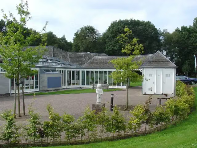
Start in Twist
0 km36.1 km · 28 benches

Emmerschans
36.1 kmArchaeological site
4.5 km · 8 benches
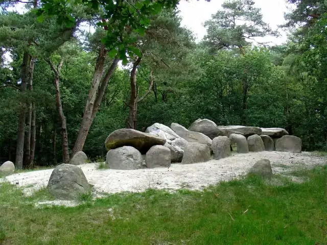
Hunebed D45 Emmerdennen
40.7 kmArchaeological site
597 m · 8 benches
Water point
41.3 km523 m · 6 benches
2 public toilets
41.8 km1.8 km · 16 benches
Hunebed D41 Emmen Noord
43.6 kmArchaeological site · Audio story · 2 min
1.6 km · 3 benches
Hunebed D40 Boswachterij Emmen and 2 more
45.2 kmHunebed D39 Boswachterij Emmen and Hunebed D38 Boswachterij Emmen
5.4 km · bench
Attraction
412 m · 4 benches
Hunebed D35 Valthe Zuid-west
51.1 kmArchaeological site
1.2 km
Hunebed D34 Valthe West
52.2 kmArchaeological site
5.3 km · 2 benches
Hunebed D31 Hunzebos
57.6 kmArchaeological site
5 km · 7 benches
Archaeological site
11 km · 11 benches
Hunebedcentrum
73.6 kmMuseum · Audio story · 2 min
202 m · 2 benches
Hunebed D27 Borger
73.8 kmArchaeological site
2 km · 7 benches
Hunebed D24 Bronneger and 2 more
75.8 kmHunebed D23 Bronneger and Hunebed D25 Bronneger
7.8 km · 9 benches
Water point
83.6 km14.5 km · 30 benches
Hunebed D11 Anloo
98.1 kmArchaeological site
5.3 km · 7 benches
Archaeological site
4.7 km · 15 benches
2 water fountains and refill points
108.1 km336 m · 8 benches
Laarwoud
108.4 kmCastle
7.3 km · 8 benches
Hunebed D3 Midlaren and 1 more
115.8 kmHunebed D4 Hunenborg
3.4 km · 6 benches
Hunebed G1 Noordlaren
119.2 kmArchaeological site
10.9 km · 19 benches
Museum Vosbergen
130.1 kmMuseum
5.9 km · 12 benches
Bike pump
135.9 km1.7 km · 14 benches
Oorlogsmonument
137.6 kmMemorial
5.1 km · 18 benches
Oorlogsmonument Esserveld
142.7 kmMemorial
1.4 km · 15 benches
Groenestein
144 kmCastle
1.4 km · 17 benches
Joods Monument and 1 more
145.5 kmHelperlinie
3.1 km · 32 benches
Finish
148.5 kmAt the finish: public toilet and water point.
Longest stretch without a toilet: 106.6 kmBetween 41.9 km and 148.5 km there is no public toilet within 100 m of the route.
The route with the water points, toilets and sights within 100 m of it.
28 sights along the way
In the order you pass them. With the Outdoor Pitstop app you hear their story on the spot. 20 more along the route are on the map.
Archaeological site · after 36.1 km
- Story
Hunebed D45 Emmerdennen
Archaeological site · after 40.7 km
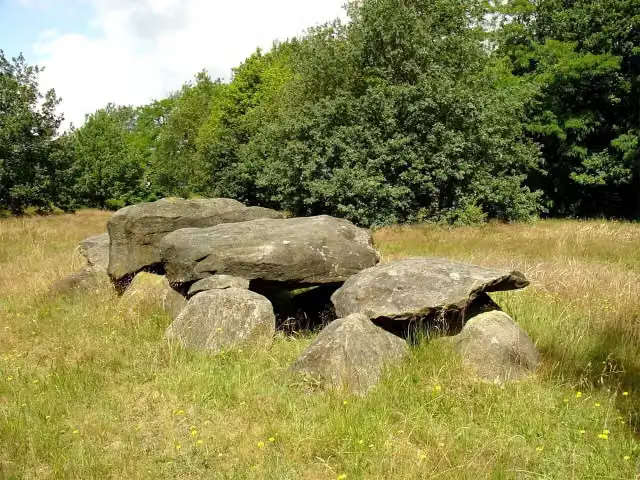 Audio story · 2 min
Hunebed D41 Emmen Noord
Archaeological site · after 43.6 km
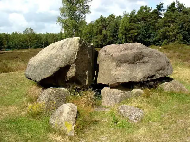 Story
Hunebed D40 Boswachterij Emmen
Archaeological site · after 45.2 km
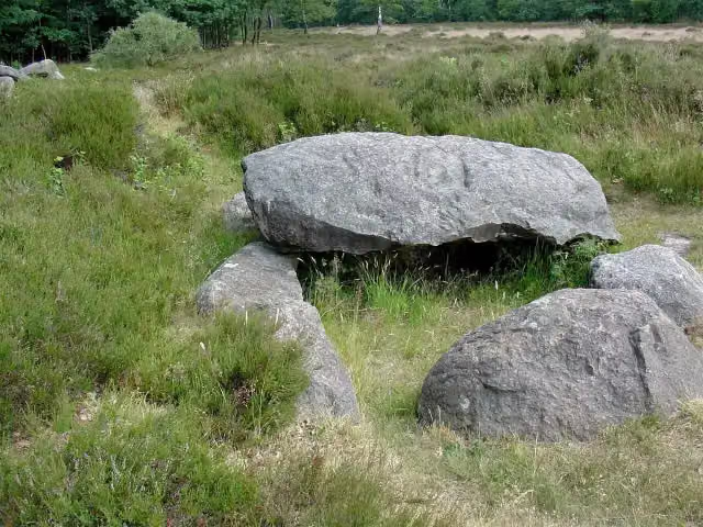 Story
Hunebed D39 Boswachterij Emmen
Archaeological site · after 45.3 km
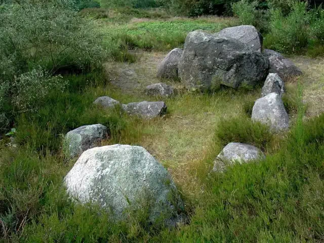 Story
Hunebed D38 Boswachterij Emmen
Archaeological site · after 45.3 km
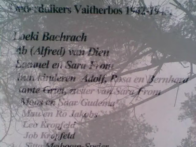 Story
Het onderduikershol 1942-1945
Attraction · after 50.6 km
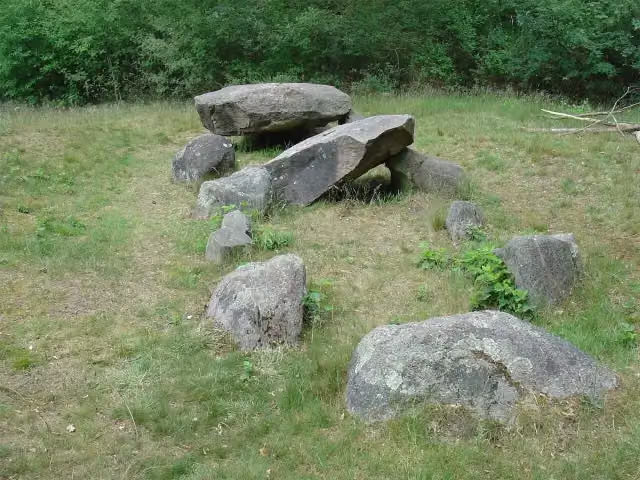 Story
Hunebed D35 Valthe Zuid-west
Archaeological site · after 51.1 km
Stages (10)
Elevation and terrain
Way types
148.5 km in total- Track: 53.3 km
- Path: 44.5 km
- Cycleway: 19.2 km
- Road: 15.5 km
- Footpath: 10 km
- Street: 5.1 km
- Stairs: 4 stairs
- Busy road: 125 m
Surfaces
148.5 km in total- Natural: 37.9 km
- Paved: 17.9 km
- Unpaved: 16.4 km
- Asphalt: 15.4 km
- Gravel: 7.9 km
- Unknown: 52.5 km
About the walking route Hünenweg - total
Updated on 5 November 2026, with data from OpenStreetMap and the AHN.
Where do you walk?
Hünenweg - total is a walking route of 148.5 km that starts in Twist. It does not end where it starts. You start in Osnabrück and finish in Groningen. Along the way you pass Emmerschans (after 36.1 km), Hunebed D45 Emmerdennen (after 40.7 km) and Hunebed D41 Emmen Noord (after 43.6 km).
How hard is the route?
There are 4 flights of steps along the way. Allow ± 3:20 h per stage, without breaks. Per stage the level is moderate.
What paths do you walk on?
The longest part is track (53.3 km), path (44.5 km) and cycleway (19.2 km). Of the surface, 37.9 km natural and 17.9 km paved. For 52.5 km the surface is not known.
Pitstops along the way
Within 100 metres of the route there are 313 benches and picnic tables, 5 water fountains and refill points, 3 public toilets and 1 bike pump. You can fill your bottle after 41.3 km, after 83.6 km, after 108.1 km and at the finish. The longest stretch without a toilet is 106.6 km. The Outdoor Pitstop app navigates you there.
Walks nearby
4Sights nearby
Within 10 km of the route, best known first.
- 1
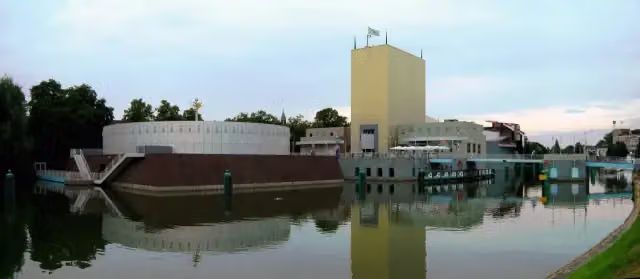 Groninger MuseumMuseum · 149 m from the route
- 2
 Hortus HarenAttraction · 418 m from the route
- 3
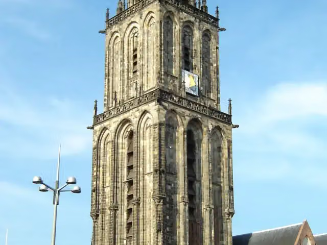 MartinitorenViewpoint · 937 m from the route
- 4
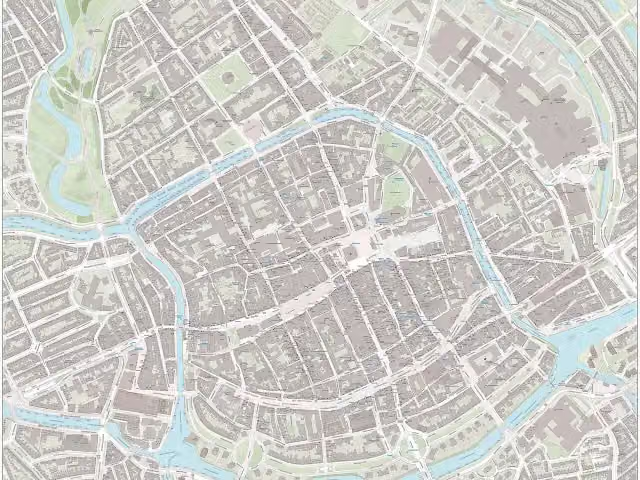 NoorderplantsoenArchaeological site · 1.4 km from the route
- 5
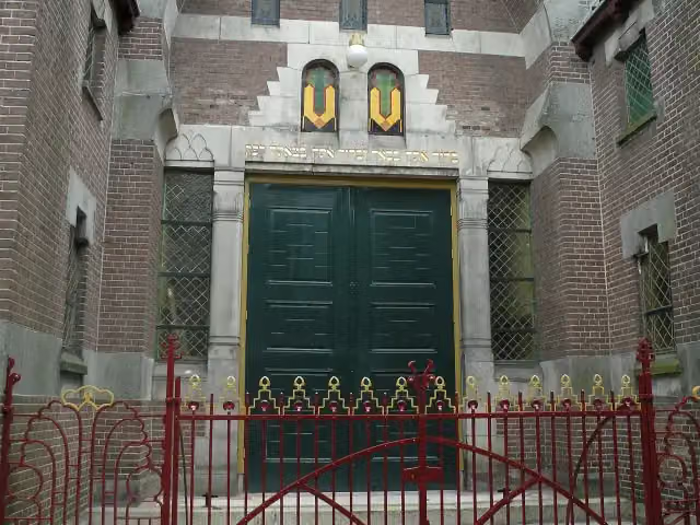 Synagoge GroningenMuseum · 398 m from the route
- 6
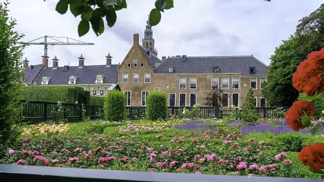 PrinsentuinAttraction · 1.2 km from the route
- 7
 Internationaal KlompenmuseumMuseum · 1.2 km from the route
- 8
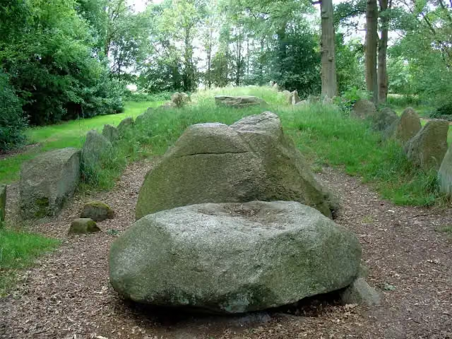 Hunebed D43 Emmen SchimmeresArchaeological site · 189 m from the route
- 9
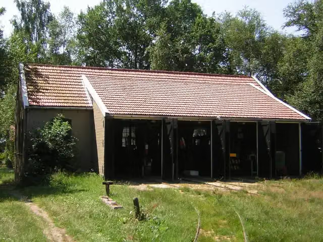 Industrieel Smalspoor MuseumMuseum · 3.6 km from the route
- 10
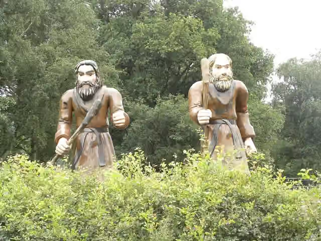 Openluchtmuseum Ellert en BrammertMuseum · 6.8 km from the route
- 11
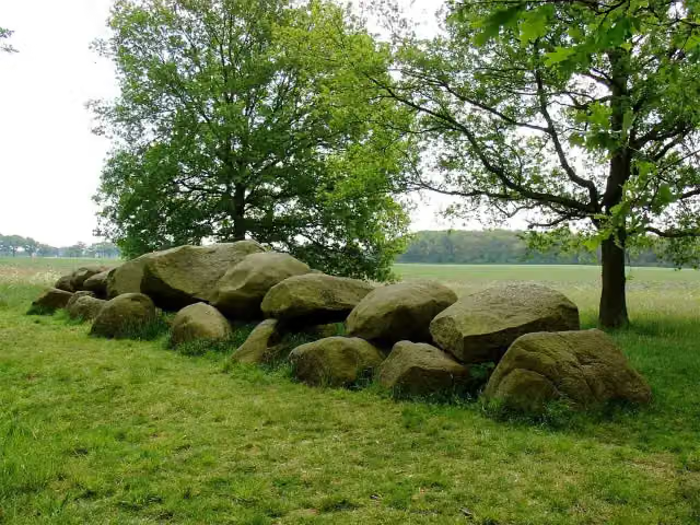 Hunebed D16 BallooArchaeological site · 6.6 km from the route
- 12
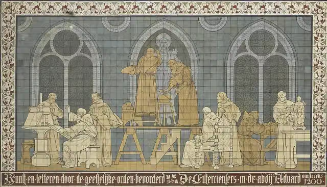 KloostermuseumMuseum · 8.4 km from the route
- 13
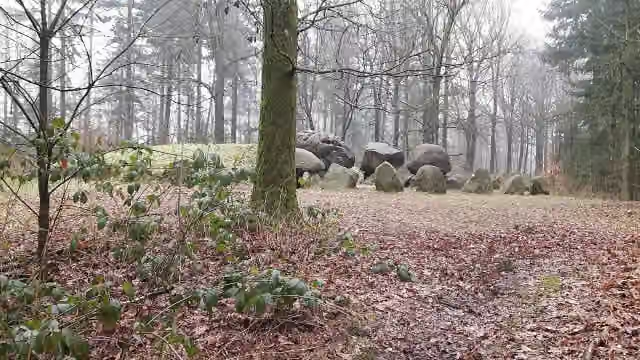 Hunebed D49 Papeloze kerkArchaeological site · 6.2 km from the route
- 14
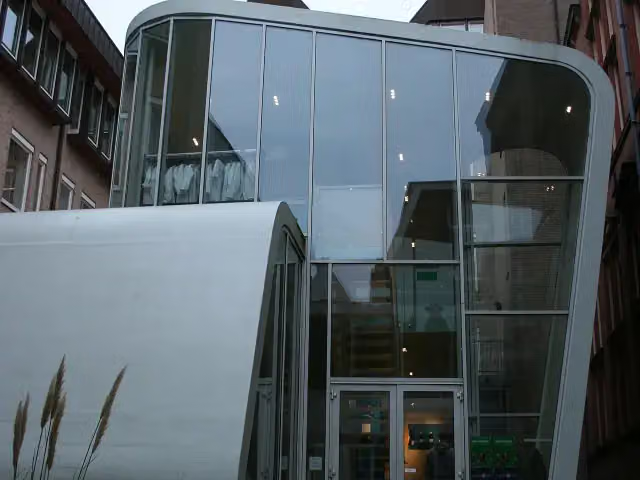 University MuseumMuseum · 769 m from the route
- 15
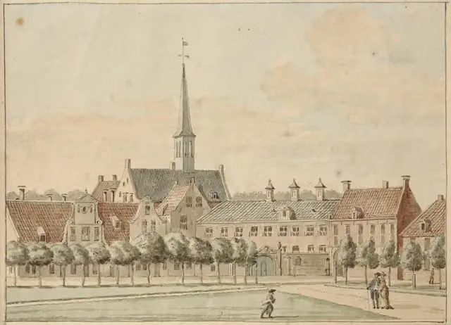 PrinsenhofCastle · 1.1 km from the route
- 16
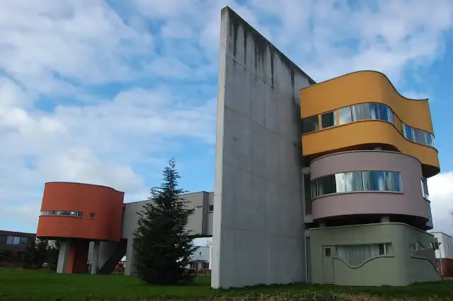 Wall House #2Museum · 2.2 km from the route
- 17
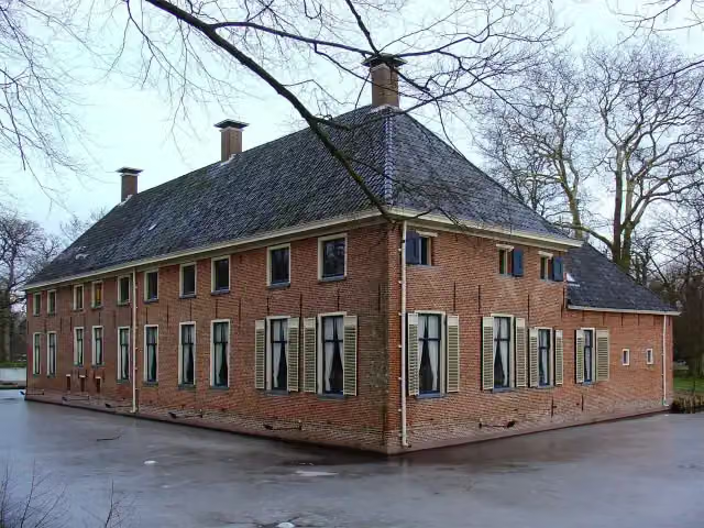 MensingeMuseum · 9.8 km from the route
- 18
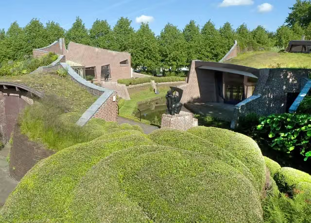 Museum De BuitenplaatsMuseum · 1.7 km from the route
- 19
 TweestrydAttraction · 1.1 km from the route
- 20
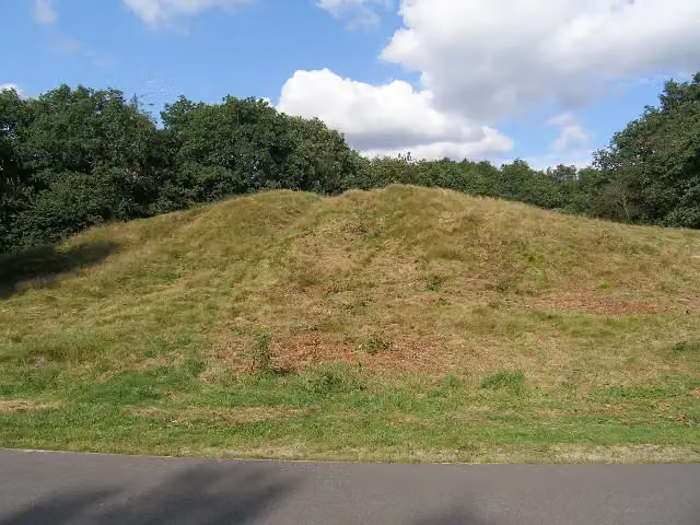 KymmelsbergViewpoint · 1.7 km from the route
- 21
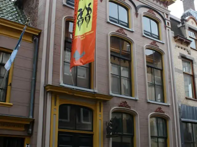 Museum aan de AMuseum · 518 m from the route
- 22
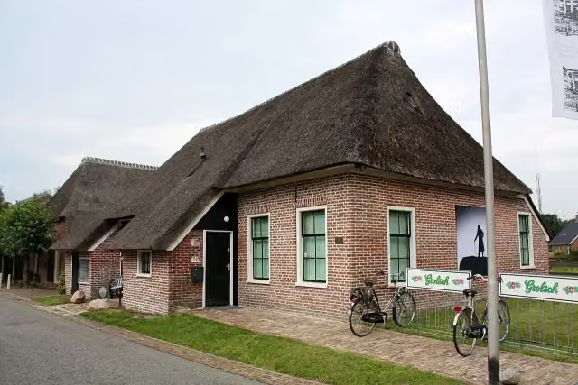 C+B MuseumMuseum · 8.3 km from the route
- 23
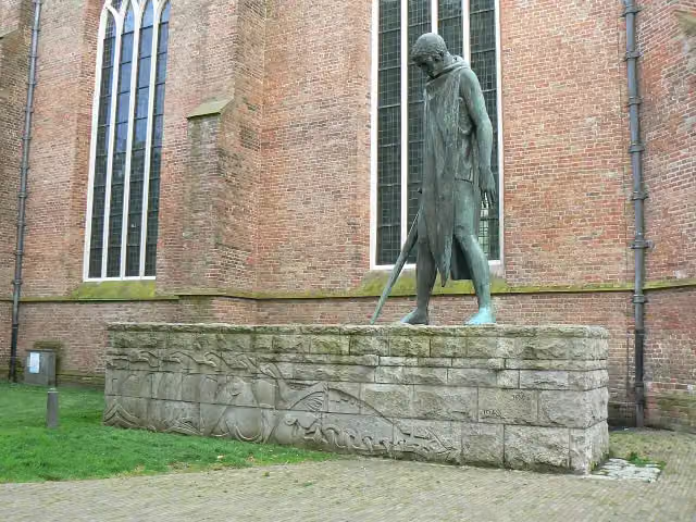 Sint-Joris en de draakMemorial · 967 m from the route
- 24
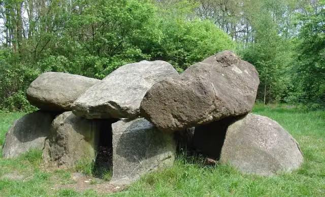 Hunebed D6 TynaarloArchaeological site · 4.3 km from the route
- 25
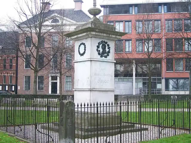 GuyotMemorial · 1.1 km from the route
Explore more
Frequently asked questions
How long is Hünenweg - total?
Hünenweg - total is 148.5 km long, in 10 stages of 14.9 km on average. Allow ± 3:20 h per stage of walking: 4.5 km an hour and 10 minutes more per 100 metres of climbing, without breaks.
Is this route a circular walk?
No, the route runs from Osnabrück to Groningen.
Where does this route start?
The route starts in Twist.
How hard is this route?
Moderate per stage.
Are there toilets along this route?
Yes, there are 3 public toilets within 100 m of the route. The longest stretch without a toilet is 106.6 km.
Can you fill up with water along this route?
Yes, there are 5 water fountains and refill points within 100 m of the route.
What is there to see along this route?
Along the way you pass Emmerschans, Hunebed D45 Emmerdennen and Hunebed D41 Emmen Noord.
Starting point
More routes from this place
Route data © OpenStreetMap contributors





