 Outdoor Pitstop
Walking route · Sittard-Geleen · Sittard-Geleen SG2 Native Plant Garden Route · Updated on 5 November 2026
Sittard-Geleen SG2 Heemtuinroute walk
Sittard-Geleen SG2 Heemtuinroute is a walk of 8.2 km from Sittard-Geleen that starts and ends at the same spot. Along the way you'll find 10 benches and picnic tables.
The route step by step
From start to finish, with what you pass along the way and the distance in between.
- 8.2 km
- ± 2:00 h
- ↑ 93 m · ↓ 95 m
- Easy
- Circular walk
- Local route
Start in Sittard-Geleen
0 km8.2 km · 10 benches
Back at the start
8.2 km
No public toilet along the wayThere is no public toilet within 100 m of the route. Go before you start, or find one a bit further away in the app.
The route with the pitstops and sights within 100 m of it.
Elevation and terrain
- Up
- ↑ 93 m
- Down
- ↓ 95 m
- Highest point
- 97 m
- Lowest point
- 51 m
- 5-10% slope · 955 m
- 3 stairs
Elevation from AHN (Rijkswaterstaat), smoothed.
Way types
8.2 km in total- Road: 3.5 km
- Street: 2.3 km
- Path: 1.9 km
- Footpath: 275 m
- Stairs: 3 stairs
- Cycleway: 75 m
Surfaces
8.2 km in total- Asphalt: 4.6 km
- Unpaved: 1 km
- Paved: 500 m
- Unknown: 2 km
About the walking route Sittard-Geleen SG2 Heemtuinroute
Updated on 5 November 2026, with data from OpenStreetMap and the AHN.
Where do you walk?
Sittard-Geleen SG2 Heemtuinroute is a circular walk of 8.2 km from Sittard-Geleen: it starts and ends in the same place.
How hard is the route?
You climb 93 m in total and descend 95 m. There are 3 flights of steps along the way. Allow ± 2:00 h, without breaks. The level is easy.
What paths do you walk on?
The longest part is road (3.5 km), street (2.3 km) and path (1.9 km). Of the surface, 4.6 km asphalt and 1 km unpaved. For 2 km the surface is not known.
Pitstops along the way
Within 100 metres of the route there are 10 benches and picnic tables. There is no public toilet within 100 metres of the route. The Outdoor Pitstop app navigates you there.
Walks nearby
6- Jakobs-Pilgerweg Nijmegen-Maastricht-LüttichHard · From A to B143.1 km
- Schinnen SC07 RéngeloaterouteEasy · Circular walk5.3 km
- Schinnen SC10 NatuurpadEasy · Circular walk2.3 km
- Pelgrimspad 2 - 10Moderate · From A to B17.3 km
- Pieterpad deel 2 - 12Hard · From A to B22.3 km
- RVN 5 - Pe 2 - 10 - Nuth-Sittard stationModerate · From A to B16.9 km
Sights nearby
Within 10 km of the route, best known first.
- 1
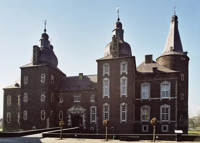 Hoensbroek CastleCastle · 6 km from the route
- 2
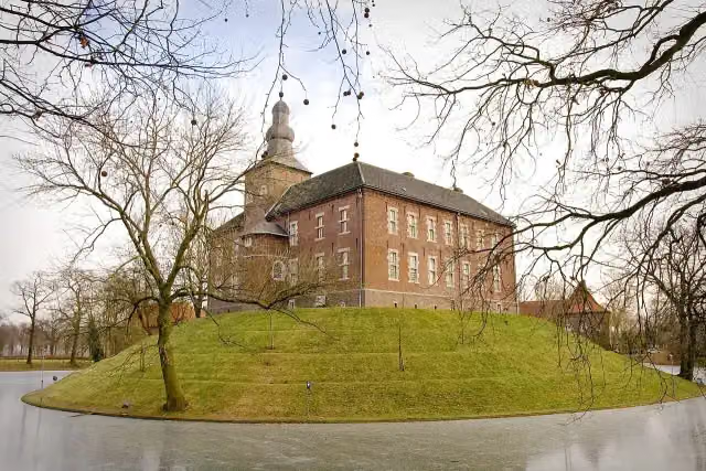 Kasteel LimbrichtCastle · 4.6 km from the route
- 3
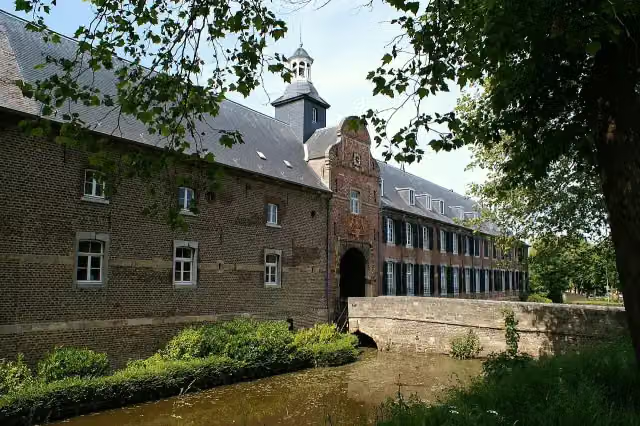 Kasteel WijnandsradeCastle · 6.8 km from the route
- 4
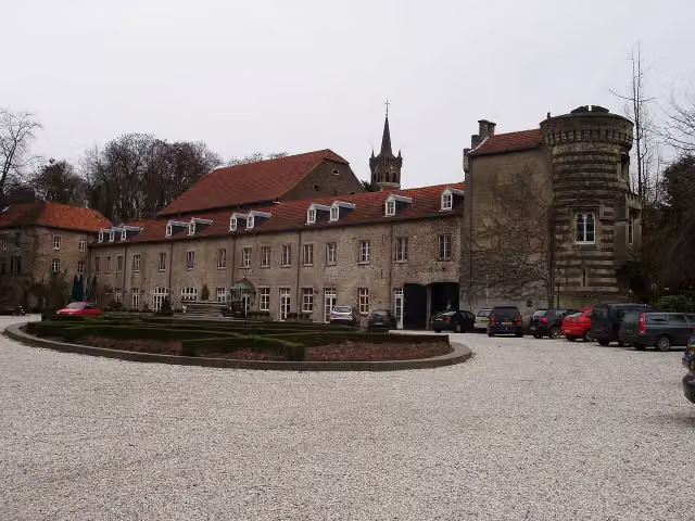 Kasteel ElslooCastle · 7.3 km from the route
- 5
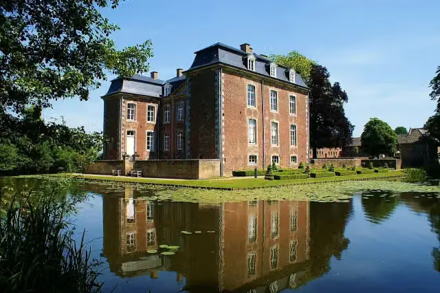 Kasteel CortenbachCastle · 9.7 km from the route
- 6
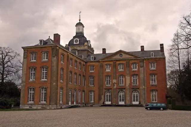 Kasteel AmstenradeCastle · 4.3 km from the route
- 7
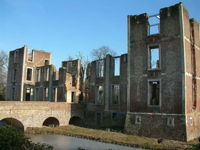 Kasteel BornAttraction · 6.9 km from the route
- 8
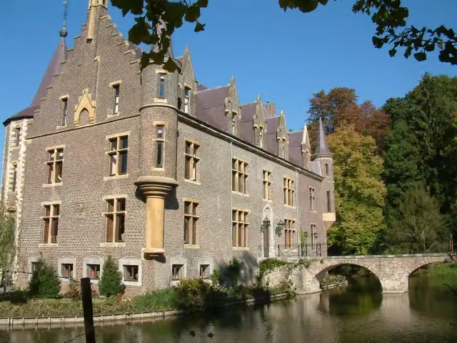 Kasteel TerwormCastle · 9.8 km from the route
- 9
 Kasteel MillenCastle · 5.4 km from the route
- 10
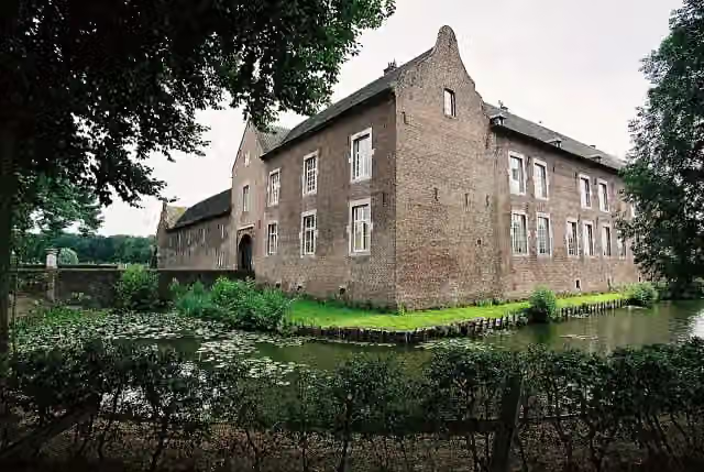 Kasteel TerborghCastle · 2.1 km from the route
- 11
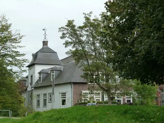 Kasteel SteinCastle · 7 km from the route
- 12
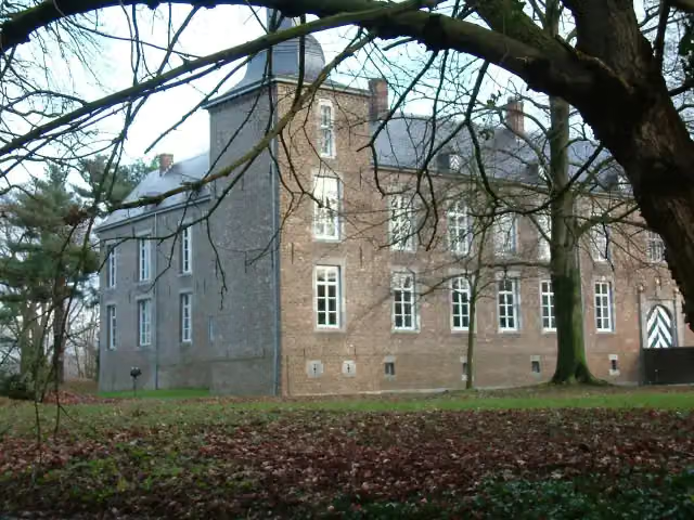 Kasteel WolfrathCastle · 8 km from the route
- 13
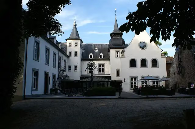 Kasteel DoenradeCastle · 2 km from the route
- 14
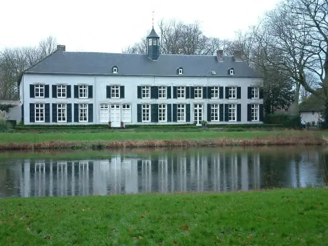 Kasteel GenbroekCastle · 6.2 km from the route
- 15
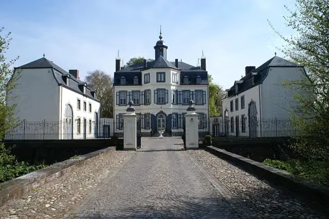 Kasteel ObbichtCastle · 7.5 km from the route
- 16
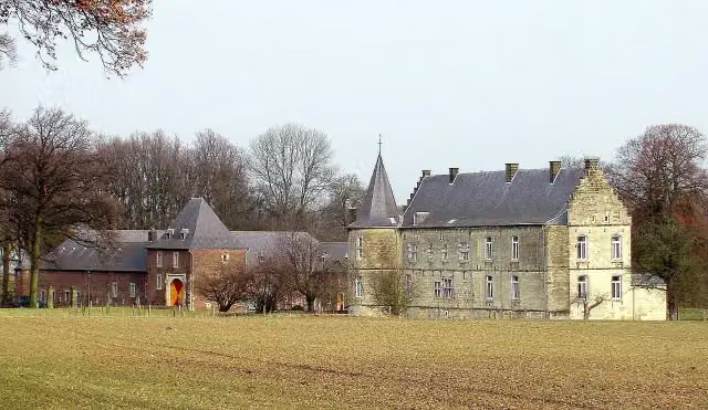 Kasteel RivierenCastle · 8.2 km from the route
- 17
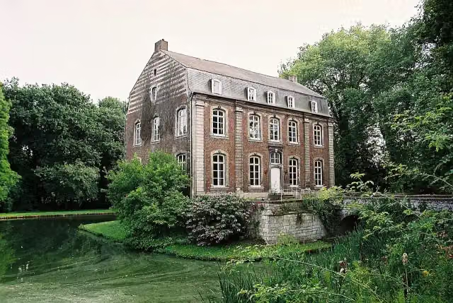 Kasteel PuthCastle · 9 km from the route
- 18
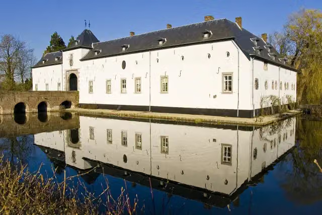 Kasteel GeulleCastle · 9.6 km from the route
- 19
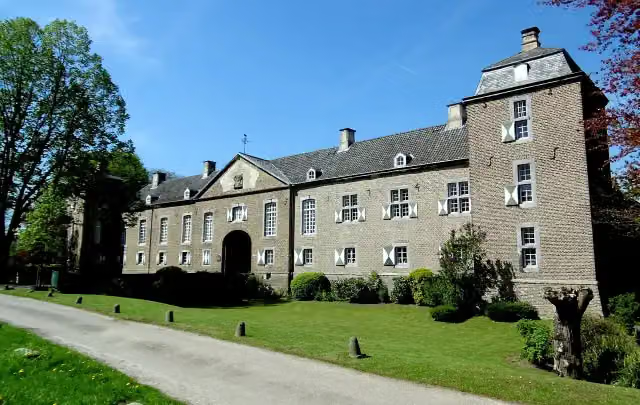 Kasteel HaerenCastle · 9.6 km from the route
- 20
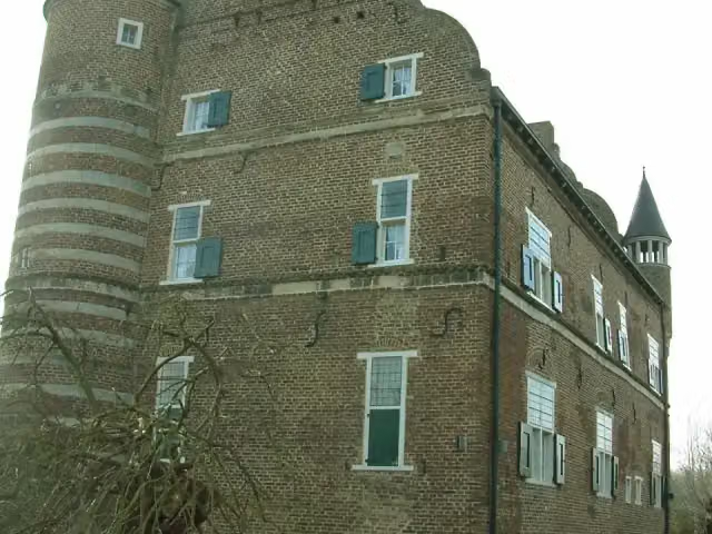 Kasteel GrasbroekCastle · 5.8 km from the route
- 21
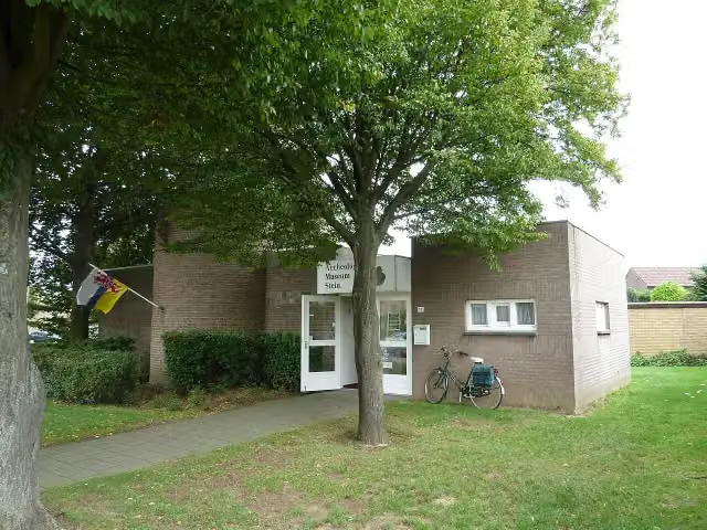 Archeologisch MuseumMuseum · 6.6 km from the route
- 22
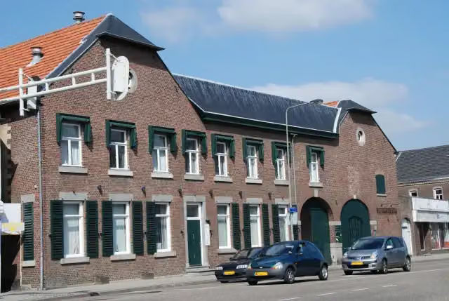 ElsmuseumMuseum · 5.6 km from the route
- 23
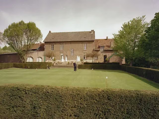 HoenshuisCastle · 9.2 km from the route
- 24
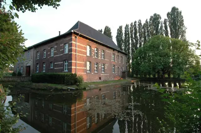 Huis Ten DijckenCastle · 2.7 km from the route
- 25
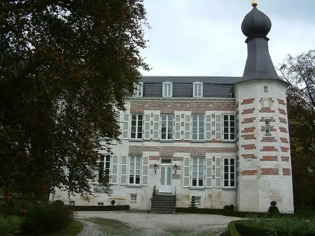 Kasteel ReijmersbeekCastle · 3.5 km from the route
Explore more
Frequently asked questions
How long is Sittard-Geleen SG2 Heemtuinroute?
Sittard-Geleen SG2 Heemtuinroute is 8.2 km long. Allow ± 2:00 h of walking: 4.5 km an hour and 10 minutes more per 100 metres of climbing, without breaks.
Is this route a circular walk?
Yes, the route starts and ends at the same spot.
Where does this route start?
The route starts in Sittard-Geleen.
How hard is this route?
Easy, with 93 m of climbing.
Are there toilets along this route?
No, there is no public toilet within 100 m of the route. Go before you start.
Can you fill up with water along this route?
No, there is no water point within 100 m of the route. Bring enough water.
Starting point
More routes from this place
Route data © OpenStreetMap contributors





