 Outdoor Pitstop
Cycle route · Jork · Updated on 14 November 2026
Nordseeküstenroute (Hamburg und Schleswig-Holstein) cycle route
Nordseeküstenroute (Hamburg und Schleswig-Holstein) is a cycle route of 390.5 km from Jork. Along the way you'll find 1,437 benches, 4 water fountains and refill points, 80 public toilets and 17 bike pumps.
i
i
The route step by step
From start to finish, with what you pass along the way and the distance in between.
- 390.5 km
- ± 26:00 h
- ↑ 140 m · ↓ 139 m
- Hard
- From A to B
- National route
Start in Jork
0 km14.6 km · 30 benches
Public toilet
14.6 km3.5 km · 27 benches

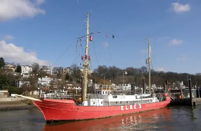
Elbe 3 and 2 more
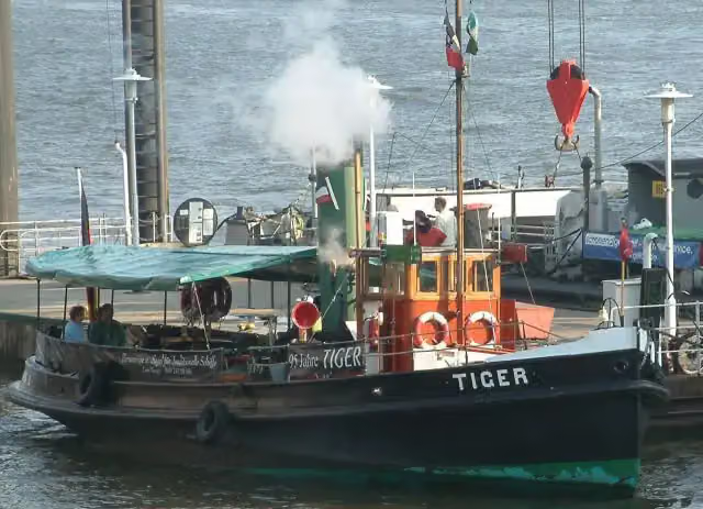
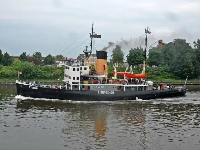
18 kmTiger and Dampfeisbrecher Stettin
4.1 km · 22 benches
Public toilet
22.1 km204 m · 7 benches
Public toilet
22.3 km173 m · 14 benches
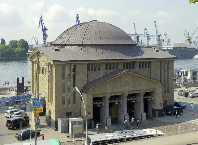
St. Pauli Elbe Tunnel
22.5 kmAttraction
218 m · 15 benches
Public toilet
22.7 km160 m
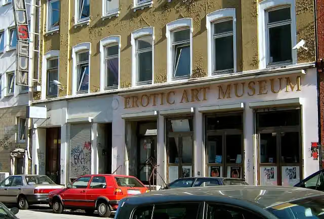
Erotic Art Museum
22.9 kmMuseum
269 m · 5 benches
Park Fiction
23.1 km2 public toilets and water point
191 m · 13 benches
U-434 and 1 more
23.3 kmMahnmal Madonna der Seefahrt and public toilet
177 m · 8 benches
Fischmarkt
23.5 kmAttraction
434 m · 6 benches
Popeye der Seefahrer
23.9 kmMemorial
797 m · 22 benches
Altonaer Balkon
24.7 kmViewpoint
1.4 km · 46 benches
SD WOLTMAN and 3 more
26.1 kmClaus D., Flut 1976, Flut 1962 and public toilet
205 m · 9 benches
Public toilet
26.3 km524 m · 18 benches
2 public toilets
26.8 km482 m
Flut 1976 and 1 more
27.3 kmFlut 1962
200 m · 12 benches
Alter Schwede
27.5 kmAttraction
243 m · 16 benches
Public toilet
27.8 km854 m · 21 benches
Flut 1976
28.6 kmAttraction
2 km · 72 benches
Public toilet
30.6 km3.1 km · 145 benches
Treppenviertel
33.7 kmPublic toilet
415 m · 14 benches
Fischerhaus Museum
34.1 kmMuseum
1.6 km · 19 benches
Public toilet
35.7 km882 m · 2 benches
Public toilet
36.6 km888 m · 18 benches
Public toilet
37.5 km4.6 km · 37 benches
Bike pump
42 km397 m · 36 benches
Public toilet
42.4 km11.7 km · 6 benches
Public toilet and bike pump
54.1 km32.5 km · 21 benches
Fähre Kronsnest
86.6 kmAttraction
Show the other 65 steps
7.7 km · 6 benches
Public toilet
94.3 km4.8 km · 15 benches
Public toilet
99 km5.6 km · 14 benches
Public toilet and bike pump
104.6 km562 m · 18 benches
Wiebke-Kruse-Turm
105.2 kmAttraction
5.5 km · 21 benches
Public toilet
110.7 km13.1 km · 22 benches
Bike pump
123.8 km7.9 km · 25 benches
Kanalmuseum ATRIUM
131.7 kmPublic toilet and bike pump
5.4 km · 15 benches
Water point
137.1 km309 m · 3 benches
Heimatmuseum
137.4 kmPublic toilet
1.4 km · bench
Stadtgalerie im Elbeforum
138.8 kmMuseum
22.2 km · 25 benches
Public toilet and bike pump
161 km1.1 km · 6 benches
Freimaurer Museum
162.1 kmMuseum
15 km · 11 benches
Public toilet and bike pump
177.1 km399 m · 3 benches
Schleswig-Holsteinisches Landwirtschaftsmuseum
177.5 kmPublic toilet
8.5 km · 14 benches
Public toilet
186 km1.9 km · 7 benches
Public toilet and bike pump
187.9 km5.1 km · 21 benches
2 public toilets and bike pump
193 km2.2 km · 5 benches
2 public toilets
195.2 km433 m · 3 benches
Bike pump
195.6 km373 m · 14 benches
Museumshafen
196 kmPublic toilet
372 m · 51 benches
2 public toilets and bike pump
196.4 km403 m · 24 benches
Bike pump
196.8 km788 m · 13 benches
Public toilet
197.6 km406 m · 10 benches
Bike pump
198 km446 m · 13 benches
Public toilet
198.4 km2.6 km · 13 benches
Public toilet
201 km622 m · 6 benches
Public toilet
201.6 km2.5 km · 6 benches
Public toilet and water point
204.1 km247 m · 3 benches
Bike pump
204.4 km7.9 km · 4 benches
Public toilet
212.2 km2.1 km · 11 benches
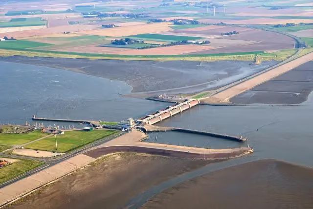
Eidersperrwerk
214.3 kmAttraction
3.5 km · 4 benches
Public toilet
217.8 km3.6 km · 4 benches
Public toilet
221.4 km14.2 km · 34 benches
Grüne Nordsee
235.6 kmPublic toilet
729 m · 15 benches
Public toilet
236.3 km355 m · 13 benches
Public toilet
236.7 km1.9 km · 45 benches
Public toilet
238.6 km990 m · 12 benches
2 public toilets
239.6 km349 m · 2 benches
2 public toilets
240 km9.8 km · 16 benches
Public toilet
249.8 km36.8 km · 16 benches
Schifffahrtsmuseum Nordfriesland and 2 more
286.6 kmKulturpfad 29 - Kaufmannshaus, Kulturpfad 30 - Wernersches Haus, 5 public toilets and bike pump
249 m · 7 benches
Kulturpfad 16 - Slipanlage der alten Werft and 1 more
286.8 kmTheodor-Storm-Haus and 2 public toilets
184 m · 8 benches
Nationalpark-Haus
287 kmPublic toilet
373 m · 3 benches
Water point
287.4 km2.3 km · 9 benches
Public toilet
289.8 km3.9 km · 12 benches
Public toilet and bike pump
293.7 km5.4 km · 14 benches
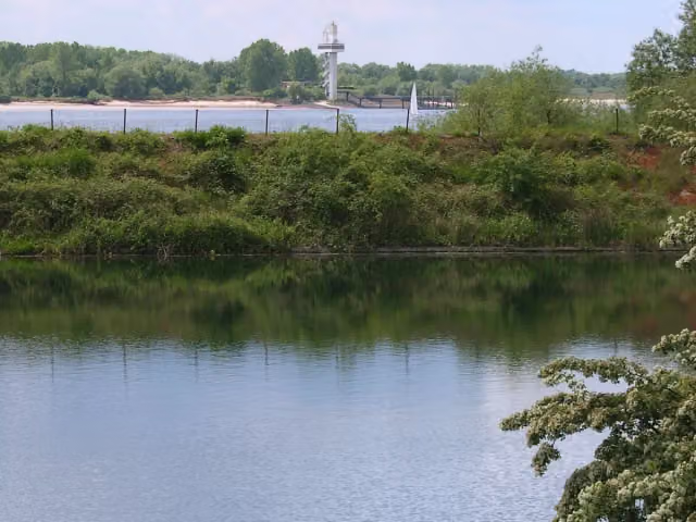
Observation tower
299.1 kmObservation tower
326 m
Public toilet
299.4 km5.6 km · 5 benches
Public toilet
305 km316 m · 4 benches
Public toilet
305.3 km6.9 km · 8 benches
2 public toilets
312.2 km1.7 km · 9 benches
Public toilet
313.9 km1.9 km · 41 benches
Public toilet
315.8 km2.4 km · 11 benches
Public toilet
318.2 km2 km
Public toilet
320.2 km3.9 km · 7 benches
Public toilet
324.1 km7.1 km · 4 benches
Public toilet and bike pump
331.2 km11 km · 3 benches
Public toilet
342.2 km7.6 km · 11 benches
Public toilet
349.8 km167 m · 2 benches
Public toilet
349.9 km859 m · 18 benches
Public toilet
350.8 km17.2 km · 7 benches
Naturkundemuseum Niebüll
368 kmMuseum
1.5 km · 11 benches
Public toilet
369.5 km18.7 km · 8 benches
Museum und Garten Nolde and 1 more
388.2 kmHistorisches Noldehaus
2.3 km · 10 benches
Finish
390.5 km
Longest stretch without a toilet: 40.2 kmBetween 54.1 km and 94.3 km there is no public toilet within 100 m of the route.
The route with the pitstops and sights within 100 m of it.
41 sights along the way
In the order you pass them. With the Outdoor Pitstop app you hear their story on the spot. 33 more along the route are on the map.
i
Photo: Ra Boe · Wikimedia Commons · CC BY-SA 3.0View the photo on Wikimedia CommonsAttraction · after 18 km
i
Photo: Dr. Karl-Heinz Hochhaus · Wikimedia Commons · CC BY 3.0View the photo on Wikimedia CommonsAttraction · after 18.1 km
i
Photo: Wusel007 · Wikimedia Commons · CC BY-SA 3.0View the photo on Wikimedia CommonsAttraction · after 18.1 km
i
Photo: Wolfi1946 · Wikimedia Commons · CC BY-SA 4.0View the photo on Wikimedia CommonsAttraction · after 22.5 km
i
Photo: Staro1 at German Wikipedia · Wikimedia Commons · CC BY-SA 3.0View the photo on Wikimedia CommonsMuseum · after 22.9 km
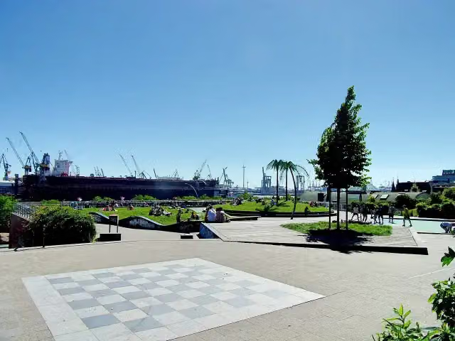
i
Photo: Pauli-Pirat · Wikimedia Commons · CC BY-SA 4.0View the photo on Wikimedia CommonsAttraction · after 23.2 km
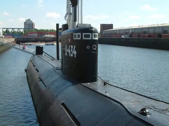
Museum · after 23.3 km
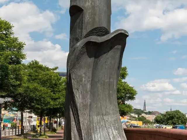
i
Photo: Dietmar Rabich · Wikimedia Commons · CC BY-SA 4.0View the photo on Wikimedia CommonsMemorial · after 23.4 km
Elevation and terrain
- Up
- ↑ 140 m
- Down
- ↓ 139 m
- Highest point
- 26 m
- Lowest point
- -1 m
- 1 flight of stairs
Elevation from Copernicus GLO-30 (European Union and ESA), smoothed.
produced using Copernicus WorldDEM-30 © DLR e.V. 2010-2014 and © Airbus Defence and Space GmbH 2014-2018 provided under COPERNICUS by the European Union and ESA; all rights reserved
Way types
390.5 km in total- Road: 117.2 km
- Track: 86.1 km
- Street: 82.7 km
- Path: 53.9 km
- Busy road: 18.8 km
- Footpath (walk your bike): 13.5 km
- Cycle path: 10.2 km
- Steps (carry your bike): 1 flight of stairs
- Unknown: 7.6 km
Surfaces
390.5 km in total- Asphalt: 326.6 km
- Paved: 39 km
- Gravel: 6.6 km
- Natural: 1.3 km
- Unknown: 16.4 km
About the cycle route Nordseeküstenroute (Hamburg und Schleswig-Holstein)
Updated on 14 November 2026, with data from OpenStreetMap, the AHN and Copernicus.
Where do you cycle?
Nordseeküstenroute (Hamburg und Schleswig-Holstein) is a cycle route of 390.5 km that starts in Jork. It does not end where it starts. You start in Hamburg and finish in Grenze Dänemark. Along the way you pass Elbe 3 (after 18 km), Tiger (after 18.1 km) and Dampfeisbrecher Stettin (after 18.1 km).
How hard is the route?
You climb 140 m in total and descend 139 m. There is 1 flight of steps along the way. Allow ± 26:00 h, without breaks. The level is hard.
What roads do you cycle on?
The longest part is road (117.2 km), track (86.1 km) and street (82.7 km). Of the surface, 326.6 km asphalt and 39 km paved. For 16.4 km the surface is not known.
Pitstops along the way
Within 100 metres of the route there are 1,437 benches, 4 water fountains and refill points, 80 public toilets and 17 bike pumps. You can fill your bottle after 23.2 km, after 137.1 km, after 204.1 km and after 287.4 km. The longest stretch without a toilet is 40.2 km. The Outdoor Pitstop app navigates you there.
Part of Nordseeküstenroute
Website of the routeCycle routes nearby
6- EuroVelo 12 - North Sea Cycle Route - part GermanyHard · From A to B929.4 km
- Nordseeküstenroute (Niedersachsen Bremerhaven-Hamburg)Hard · From A to B167.1 km
- Este-RadwegHard · From A to B61.6 km
- [D10] Elberadweg linkselbisch [Abschnitt B]Hard · From A to B80.2 km
- Pilgerroute Niedersachsen HamburgHard · From A to B351.7 km
- [D10] Elberadweg rechtselbisch [Abschnitt C]Moderate · From A to B43.5 km
Sights nearby
Within 10 km of the route, best known first.
- 1
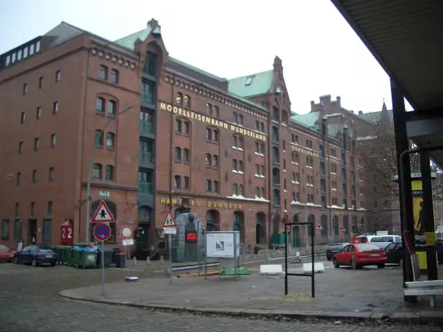 Miniature WonderlandAttraction · 1.2 km from the route
- 2
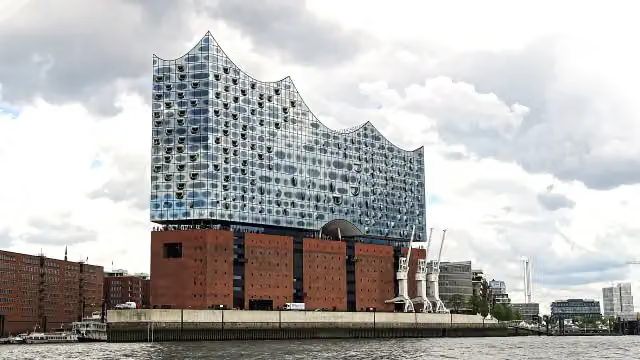 Elbe Philharmonic HallAttraction · 1 km from the route
- 3
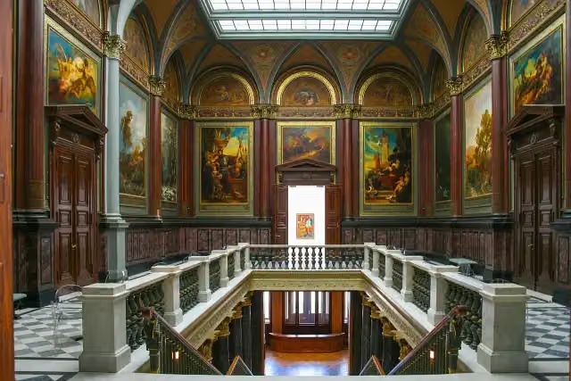 Hamburger KunsthalleMuseum · 2.4 km from the route
- 4
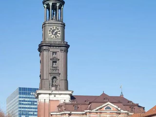 Church of St. MichaelAttraction · 663 m from the route
- 5
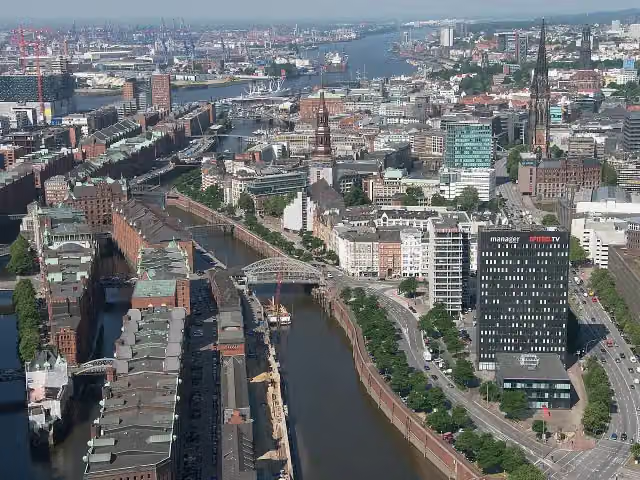 SpeicherstadtAttraction · 1.1 km from the route
- 6
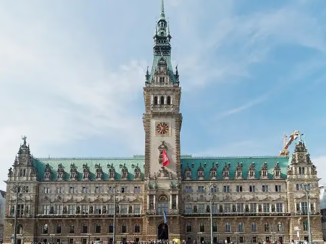 RathausAttraction · 1.6 km from the route
- 7
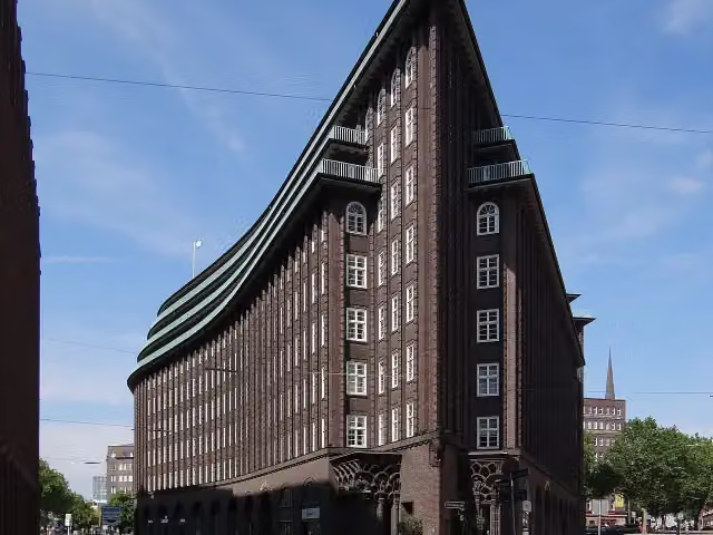 Chilehaus HamburgAttraction · 2.1 km from the route
- 8
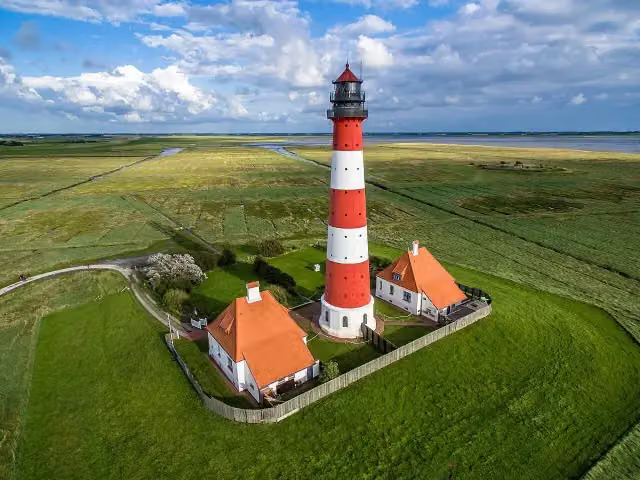 Leuchtturm WesterheversandAttraction · 3.6 km from the route
- 9
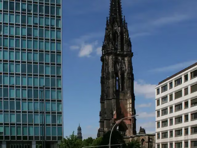 St. Nikolai MuseumMuseum · 1.4 km from the route
- 10
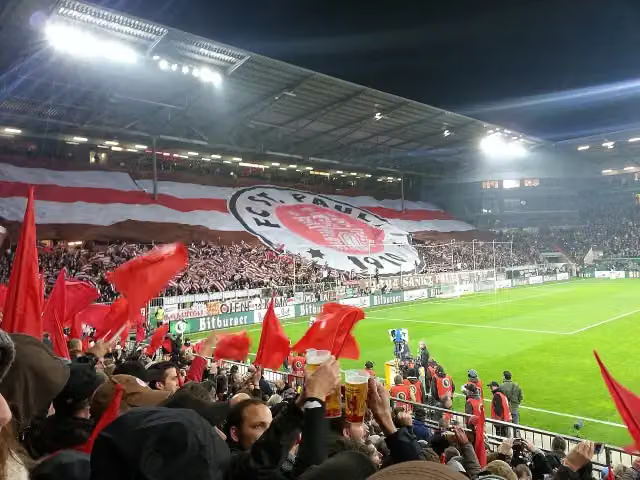 Wappen FC St. PauliMemorial · 787 m from the route
- 11
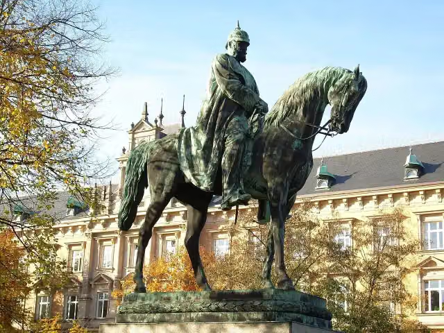 Planten un BlomenAttraction · 1.6 km from the route
- 12
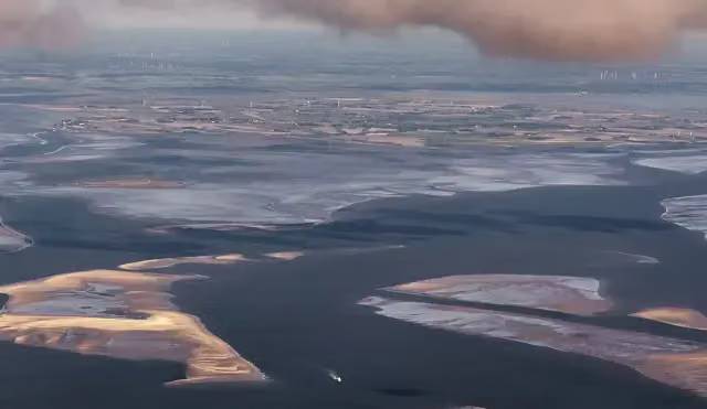 RungholtArchaeological site · 5.7 km from the route
- 13
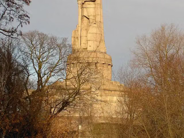 Bismarck-DenkmalAttraction · 337 m from the route
- 14
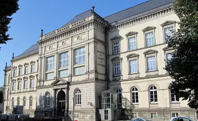 Museum für Kunst und Gewerbe HamburgMuseum · 2.7 km from the route
- 15
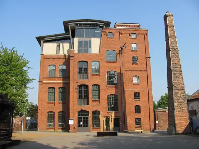 Museum of WorkMuseum · 6.7 km from the route
- 16
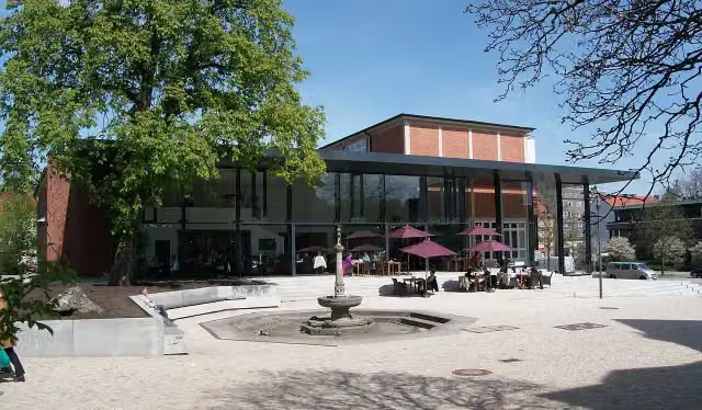 Hamburg Archaeological MuseumMuseum · 9.1 km from the route
- 17
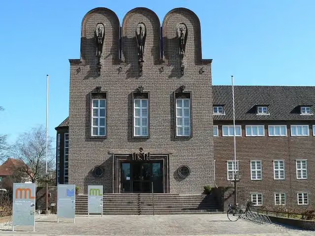 NordseeMuseum Husum - NissenhausMuseum · 339 m from the route
- 18
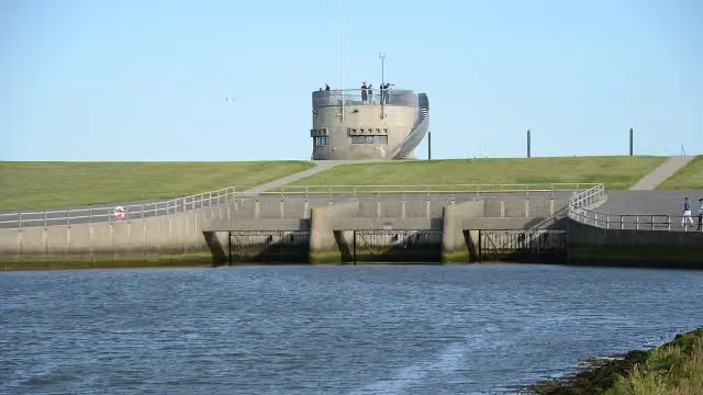 VidåslusenAttraction · 9.3 km from the route
- 19
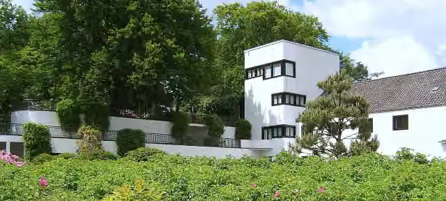 Doll Museum FalkensteinMuseum · 96 m from the route
- 20
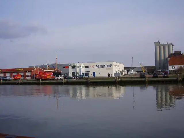 Museum am MeerMuseum · 123 m from the route
- 21
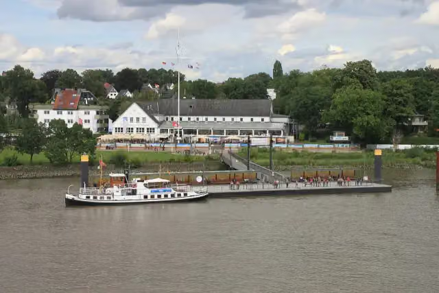 Welcome PointAttraction · 125 m from the route
- 22
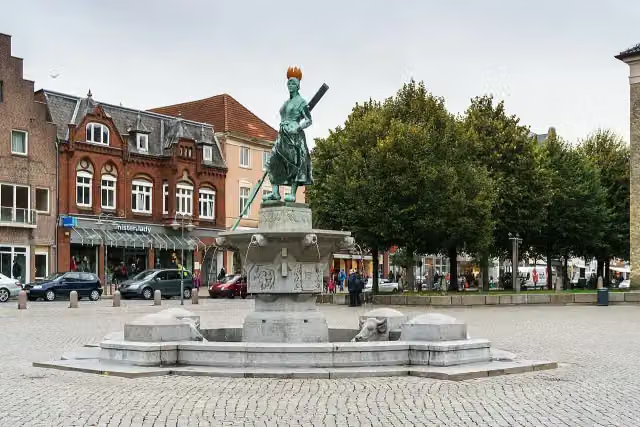 Asmussen-Woldsen-DenkmalAttraction · 148 m from the route
- 23
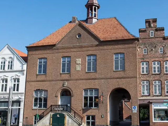 Altes RathausAttraction · 149 m from the route
- 24
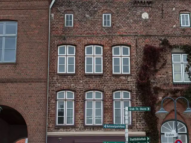 Kulturpfad 2 - Markt 1 und 3Attraction · 150 m from the route
- 25
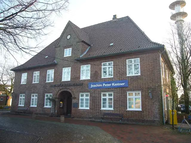 Richard-Haizmann-MuseumMuseum · 150 m from the route
Explore more
More cycle routes around Jork
Frequently asked questions
How long is Nordseeküstenroute (Hamburg und Schleswig-Holstein)?
Nordseeküstenroute (Hamburg und Schleswig-Holstein) is 390.5 km long. Allow ± 26:00 h of riding: 15 km an hour, without breaks.
Is this route a circular ride?
No, the route runs from Hamburg to Grenze Dänemark.
Where does this route start?
The route starts in Jork.
How hard is this route?
Hard, with 140 m of climbing.
Are there toilets along this route?
Yes, there are 80 public toilets within 100 m of the route. The longest stretch without a toilet is 40.2 km.
Can you fill up with water along this route?
Yes, there are 4 water fountains and refill points within 100 m of the route.
What is there to see along this route?
Along the way you pass Elbe 3, Tiger and Dampfeisbrecher Stettin.
Can I download this route as a GPX file?
Yes. Sign in with your Outdoor Pitstop account and choose Download GPX at the top of this page: 10 routes a month for free, unlimited with Pro.
Starting point
More routes from this place
Route data © OpenStreetMap contributors





