 Outdoor Pitstop
Cycle route · Aachen · Updated on 14 November 2026
Mittelland-Route cycle route
Mittelland-Route is a cycle route of 1,043.2 km from Aachen. Along the way you'll find 3,458 benches, 29 water fountains and refill points, 102 public toilets, 23 bike pumps and 3 honesty boxes and farm vending machines.
i
i
i
The route step by step
From start to finish, with what you pass along the way and the distance in between.
- 1,043.2 km
- ± 11:35 h per stage
- ↑ 6,529 m · ↓ 6,502 m
- Hard per stage
- From A to B
- National route
Start in Aachen
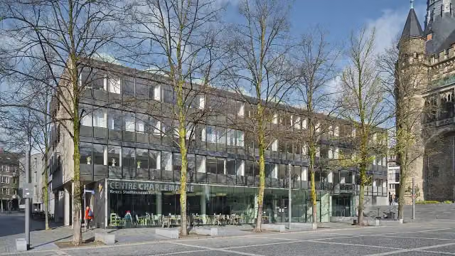
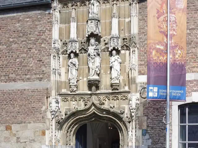
0 kmAt the start: Centre Charlemagne, Domschatzkammer, 2 public toilets and water point.
160 m · 15 benches

Grashaus and 1 more
160 mAachen Cathedral and water point
171 m · 2 benches
Römische Mauer and 1 more
331 mElisenbrunnen, public toilet, water point and bike pump
253 m · 29 benches
Public toilet
584 m1.4 km · 47 benches
Burg Frankenberg
2 km2 public toilets
1.2 km · 16 benches
Public toilet
3.2 km5.8 km · 27 benches
Bike pump
9 km1.1 km · 11 benches
Bike pump
10.1 km3 km · 21 benches
Bike pump
13.1 km520 m · 16 benches
Public toilet
13.6 km264 m · 3 benches
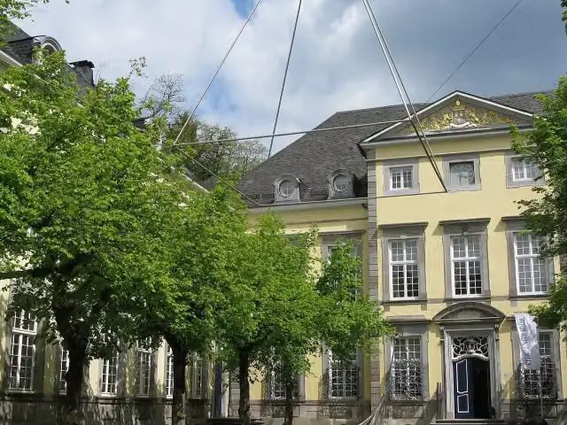
kunsthaus nrw
13.9 kmMuseum
189 m · 16 benches
Water point
14.1 km38.4 km · 73 benches
Public toilet
52.5 km7 km · 35 benches
Public toilet
59.5 km212 m · 6 benches
Burg Blens
59.7 kmCastle
825 m · bench
Public toilet
60.5 km4.7 km · 7 benches
2 public toilets and water point
65.3 km479 m · 17 benches
Burg Hengebach
65.7 km3 public toilets and bike pump
15 km · 52 benches
2 public toilets
80.8 km696 m · 3 benches
Public toilet
81.5 km1.1 km · 4 benches
Burg Kommern
82.5 km3 public toilets
1.9 km · 12 benches
Water point
84.4 km12.3 km · 54 benches
Public toilet
96.7 km13.8 km · 17 benches
Teilstück Römische Wasserleitung
110.5 kmRuins · Audio story · 2 min
3.3 km
Bike pump
113.8 km3.4 km · bench
Public toilet
117.2 km6.5 km · 8 benches
Burg Odenhausen
123.7 kmCastle
3.5 km · 6 benches
Observation tower
127.2 kmObservation tower
8.9 km · 81 benches
von Carstanjen Mausoleum
136 kmAttraction
2.7 km · 14 benches
Bismarckturm Bonn-Gronau
138.7 kmAttraction
Show the other 153 steps
200 m · bench
Denkmal der Kriegsgefangenen
138.9 kmMemorial
550 m · 9 benches
Public toilet
139.4 km159 m · 4 benches
Altes Wasserwerk
139.6 kmAttraction
161 m · 5 benches
Ehemaliger Deutscher Bundestag
139.8 kmAttraction
475 m · 18 benches
Kanzler-Teehaus and 1 more
140.2 kmVilla Hammerschmidt
907 m · 38 benches
Ernst-Moritz-Arndt-Haus
141.1 kmMuseum
616 m · 24 benches
Beethoven and 2 more
141.8 kmAlter Zoll, Lenné-Haus and public toilet
167 m · 6 benches
Public toilet and water point
141.9 km239 m · 9 benches
Brückenmännchen and 1 more
142.2 kmSynagoge Bonn Denkmal and water point
21.4 km · 78 benches
Bike pump
163.5 km1.6 km · 20 benches
Bike pump
165.1 km15.5 km · 41 benches
Bike pump
180.6 km10.2 km · 28 benches
Water point
190.8 km7.4 km · 17 benches
Burg Dattenfeld
198.3 kmCastle
4.8 km · 19 benches
Burg Mauel
203.1 kmCastle
20.4 km · 56 benches
Schloss Schönstein
223.5 kmCastle
34.6 km · 21 benches
Honesty box
258.1 km4.1 km · 9 benches
Bike pump
262.2 km1.6 km
Public toilet and bike pump
263.7 km174 m · 8 benches
Public toilet
263.9 km3.1 km · 12 benches
2 public toilets
267 km151 m · bench
Public toilet
267.1 km708 m · 6 benches
Friedrich Flender vor der Hardt
267.8 kmMemorial
2.6 km · bench
Alte Burg
270.4 kmCastle
7.7 km · 5 benches
Public toilet
278.1 km6.6 km · 17 benches
Public toilet
284.7 km4.7 km
Observation tower
289.4 kmObservation tower
2.8 km · bench
Lahnquelle
292.2 kmAttraction
16.4 km · 17 benches
Internationales Radiomuseum
308.6 kmMuseum
3.4 km · 3 benches
Bike pump
312 km15.6 km · 32 benches
Bike pump
327.6 km2.9 km · 2 benches
Burg Buchenau
330.5 kmArchaeological site
19.5 km · 19 benches
Honesty box
350 km4.3 km · 3 benches
Hunburg
354.3 kmArchaeological site
7.1 km · 4 benches
Public toilet
361.4 km11 km · 14 benches
Public toilet
372.4 km9.2 km · 58 benches
Junker-Hansen-Turm and 1 more
381.6 kmSchloss Dörnberg and honesty box
11.8 km · 15 benches
Public toilet
393.4 km3.1 km
Water point and bike pump
396.5 km9.5 km · 19 benches
Public toilet and water point
406 km286 m · 2 benches
3 public toilets and water point
406.2 km25.8 km · 18 benches
Water point
432.1 km18.4 km · 16 benches
Public toilet
450.5 km1.7 km · bench
Schloss Eichhof
452.2 kmCastle
40.8 km · 55 benches
Kalibergbau-Museum
493.1 kmPublic toilet
7.3 km · 20 benches
Gefallenendenkmal
500.4 kmMemorial
7.8 km · 23 benches
Water point
508.2 km6.9 km · 11 benches
Water point
515.1 km4.9 km · 8 benches
Public toilet
520 km5.6 km · 19 benches
Gefallenendenkmal
525.6 kmMemorial
1.7 km · 12 benches
Water point
527.3 km9.6 km · 35 benches
St. Georg
536.8 kmMemorial
194 m · 18 benches
Stadtschloss Eisenach and 1 more
537 kmSt. Georg-Brunnen and public toilet
157 m · 44 benches
Water point
537.2 km258 m · 5 benches
Public toilet
537.4 km195 m
Lutherdenkmal and 2 more
537.6 kmÄrztedenkmal and Nikolaitor
456 m · 16 benches
Public toilet
538.1 km3.9 km · 8 benches
Hellwigdenkmal
542 kmMemorial
11.6 km · 17 benches
Bike pump
553.6 km6.6 km · 3 benches
Water point
560.2 km14.7 km · 3 benches
2 public toilets
574.9 km253 m · bench
Public toilet
575.1 km7.7 km · bench
Gefallenendenkmal
582.8 kmMemorial
281 m
Bach-Stammhaus
583.1 kmMuseum
3.9 km · 3 benches
Public toilet
587 km7.2 km · 14 benches
Christian Hunold (Menantes)
594.2 kmMemorial
13.3 km · 80 benches
Public toilet
607.4 km5.3 km · 95 benches
St Thomas' Church
612.8 kmAttraction
295 m · 12 benches
Richard-Breslau-Denkmal
613.1 kmMemorial
672 m · 30 benches
2 public toilets and bike pump
613.7 km521 m · 16 benches
Angermuseum Erfurt
614.3 km2 water fountains and refill points
175 m · 3 benches
Angermuseum - Barfüßerkirche and 1 more
614.4 kmBarfüßerkirche and 2 public toilets
194 m · 5 benches
New Mill and 1 more
614.6 kmRömer, public toilet and water point
183 m · 3 benches
Kleine Synagoge and 5 more
614.8 kmRathaus Erfurt, Alte Synagoge Erfurt, Zum Breiten Herd, Krämerbrücke, Mikwe and 3 public toilets
152 m · 5 benches
Krämerbrücke and 1 more
615 kmKrämerbrücke and 2 public toilets
309 m · 15 benches
Lutherdenkmal
615.3 kmPublic toilet
24.5 km · 30 benches
Water point
639.8 km250 m · 17 benches
Muschelbrunnen
640.1 kmAttraction
311 m · 10 benches
Kunsthalle Harry Graf Kessler and 3 more
640.4 kmKasseturm, Brunnen am Graben, Pavillon-Presse and public toilet
176 m · 10 benches
Delphinbrunnen and 3 more
640.6 kmJohannes Falk, Löwenbrunnen, Museum zur bürgerlichen Wohnkultur im 18. und 19. Jahrhundert and public toilet
336 m · 4 benches
Albert-Schweitzer-Museum and 2 more
640.9 kmAlbert-Schweitzer-Denkmal and Adam-Mickiewicz-Denkmal
757 m · 14 benches
Stone of Good Fortune and 1 more
641.6 kmGoethes Gartenhaus and public toilet
1.4 km · 14 benches
Deutsches Bienenmuseum
643 kmMuseum
4.7 km · 10 benches
Bike pump
647.7 km13.8 km · 8 benches
Bike pump
661.5 km2 km · 28 benches
Ergo Bibamus and 1 more
663.5 kmJohannistor, 3 public toilets, 2 water fountains and refill points and bike pump
158 m · 26 benches
Anatomieturm
663.7 kmPublic toilet and bike pump
176 m · 22 benches
Friedrich Maurer and 1 more
663.8 kmLöbdertor and water point
194 m · 13 benches
Karmelitenkloster
664 kmWater point
157 m · 4 benches
Volksbad
664.2 kmPublic toilet
177 m · 13 benches
Romantikerhaus and 1 more
664.4 kmRoter Turm and public toilet
3 km · 27 benches
Zum Gedenken an die Gefallenen des 2. Weltkrieges
667.4 kmMemorial
32 km · 134 benches
Milo-Barus Ausstellung
699.4 kmMuseum
2.2 km · 5 benches
Public toilet
701.5 km21.8 km · 49 benches
Otto-Dix-Haus
723.3 kmWater point
719 m · 8 benches
Villa Jahr
724 kmPublic toilet
955 m · 9 benches
Bike pump
725 km2.4 km · bench
Public toilet
727.3 km7 km · 32 benches
Ronneburger Schloss
734.3 kmAttraction
12.7 km · 6 benches
Water point
747 km7.4 km · 2 benches
Public toilet
754.3 km8.4 km · 7 benches
Public toilet
762.7 km9.9 km · 8 benches
Public toilet
772.6 km20.4 km · 11 benches
Public toilet
793 km1.1 km · 3 benches
Maria-Josepha-Turm
794.1 kmObservation tower
10.7 km · 26 benches
Industriemuseum Chemnitz
804.8 kmMuseum
648 m · 8 benches
Museum für Sächsische Fahrzeuge Chemnitz
805.4 kmMuseum
546 m · bench
Museum Gunzenhauser
806 kmMuseum
225 m
Public toilet
806.2 km1.6 km · 60 benches
Karl Marx Monument
807.8 kmAttraction
216 m · 12 benches
smac Staatliches Museum für Archäologie Chemnitz
808.1 kmMuseum
823 m · 12 benches
Public toilet
808.9 km1.7 km · 15 benches
Public toilet
810.6 km5.7 km · 8 benches
Anton Günther Gedenkstein (Euba)
816.2 kmMemorial
4.9 km · 9 benches
Schloss Erdmannsdorf
821.1 kmCastle
2.9 km · 5 benches
Holzbrücke Hennersdorf
824 kmAttraction
3.4 km · 5 benches
Public toilet
827.4 km925 m · 8 benches
Gänsediebbrunnen
828.3 kmAttraction
4.8 km · 7 benches
Public toilet
833.1 km7 km · 3 benches
Public toilet
840.2 km16.4 km · 8 benches
Bike pump
856.6 km988 m · 6 benches
Kreuzbrunnen
857.5 km2 public toilets
382 m · 27 benches
Klatschweiberbrunnen
857.9 kmPublic toilet
281 m · 20 benches
Kursächsische Postmeilensäule and 1 more
858.2 kmBismarckgedenktafel
22.3 km · 48 benches
Hetzdorfer Heimatpyramide
880.5 kmPublic toilet
8.4 km · 40 benches
Forstvermessungsdenkmal
888.9 kmMemorial
5.5 km · 15 benches
Kursächsische Postmeilensäule and 1 more
894.4 kmSchloss Tharandt
775 m · 31 benches
Bike pump
895.1 km2.9 km · 27 benches
Water point
898 km1.5 km · 2 benches
Public toilet
899.6 km6.2 km · 102 benches
Begerburg
905.8 kmCastle
1.6 km · 7 benches
Hohenplauensches Wasserhaus (Fundamentreste) and 1 more
907.4 kmMuseum Hofmühle
1.6 km · 23 benches
2 public toilets
909 km2.4 km · 95 benches
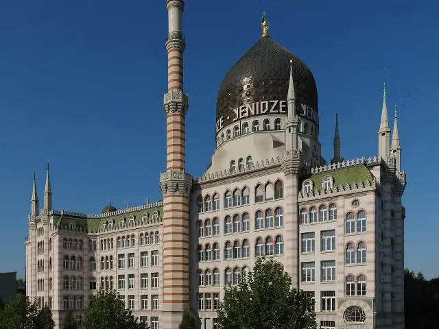
Yenidze
911.4 kmAttraction
870 m · 5 benches
Saxon State Parliament
912.3 kmAttraction
406 m · 12 benches
Theaterkahn Dresden and 2 more
912.7 kmNapoleonstein, Frederick Augustus I of Saxony Monument and public toilet
281 m · 14 benches
Brühl's Terrace
912.9 kmPublic toilet
152 m · 27 benches
Kunsthalle im Lipsiusbau and 4 more
913.1 kmMuseum Festung Dresden, Hinsehen, Gottfried Semper Denkmal and Ludwig Richter Denkmal
155 m · 27 benches
Johann Friedrich Böttger Denkmal and 1 more
913.3 kmMoritzmonument and public toilet
1.8 km · 36 benches
Public toilet
915 km7.6 km · 83 benches
Hungersteine
922.7 kmAttraction
3.7 km · 19 benches
Public toilet
926.4 km6.8 km · 16 benches
Public toilet
933.2 km3.5 km · 4 benches
Public toilet
936.7 km1.2 km · 11 benches
Elektrizitätswerk Copitz
937.9 kmRuins
211 m · 4 benches
Richard-Wagner-Denkmal
938.1 kmMemorial
5.3 km · 12 benches
Public toilet
943.4 km46.9 km · 44 benches
Ecce-Homo
990.3 kmMemorial
13.3 km · 29 benches
Public toilet
1,003.6 km21.2 km · 16 benches
Wetterstudio Ost - "Zittauer Gebirge"
1,024.9 kmMuseum
10.7 km · 16 benches
Althörnitz
1,035.6 kmCastle
2.1 km · 17 benches
Public toilet
1,037.7 km5.6 km · 52 benches
Finish
1,043.2 km
Longest stretch without a toilet: 121.8 kmBetween 141.9 km and 263.7 km there is no public toilet within 100 m of the route.
The route with the water points, toilets and sights within 100 m of it.
138 sights along the way
In the order you pass them. With the Outdoor Pitstop app you hear their story on the spot. 130 more along the route are on the map.
i
Photo: Armin Kleiner · Wikimedia Commons · CC BY-SA 4.0View the photo on Wikimedia CommonsMuseum · after 30 m
i
Photo: Berthold Werner · Wikimedia Commons · CC BY-SA 3.0View the photo on Wikimedia CommonsMuseum · after 88 m
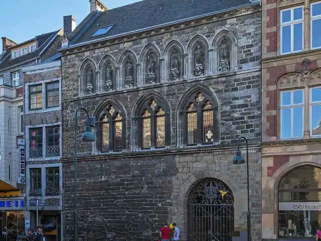
i
Photo: A.Savin · Wikimedia Commons · FALView the photo on Wikimedia CommonsAttraction · after 160 m
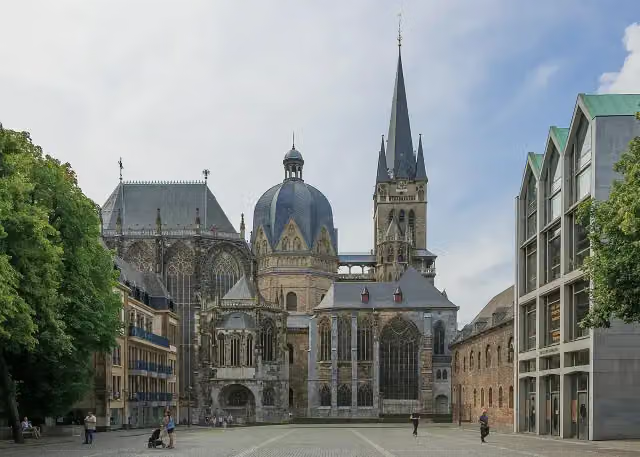 Audio story · 2 min
i
Photo: CEphoto, Uwe Aranas · Wikimedia Commons · CC BY-SA 3.0View the photo on Wikimedia CommonsAachen Cathedral
Attraction · after 259 m
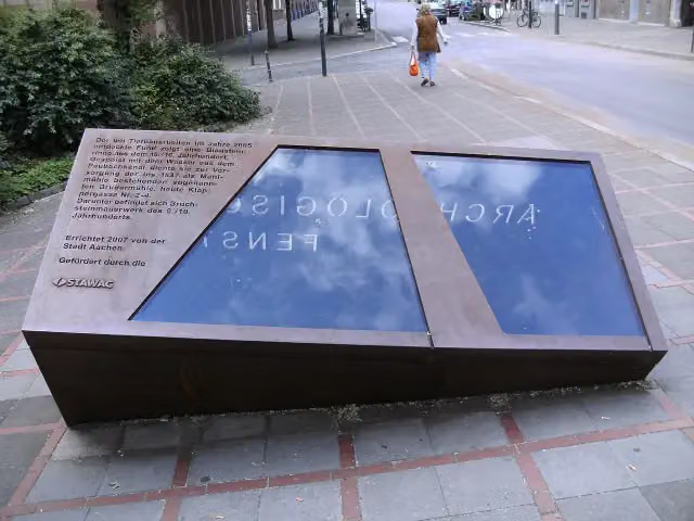
i
Photo: BBKurt · Wikimedia Commons · CC BY 3.0View the photo on Wikimedia CommonsArchaeological site · after 331 m
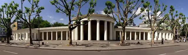
i
Photo: Karl Friedrich Schinkel · Wikimedia Commons · CC BY-SA 2.5View the photo on Wikimedia CommonsAttraction · after 476 m
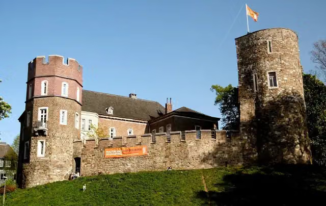
i
Photo: ArthurMcGill · Wikimedia Commons · CC BY 3.0View the photo on Wikimedia CommonsMuseum · after 2 km
i
Photo: Moltkeplatz · Wikimedia Commons · CC BY-SA 4.0View the photo on Wikimedia CommonsMuseum · after 13.9 km
Stages (6)
Elevation and terrain
- Up
- ↑ 6,529 m
- Down
- ↓ 6,502 m
- Highest point
- 643 m
- Lowest point
- 50 m
- 5-10% slope · 16.2 km
- 10-15% slope · 1.1 km
Elevation from Copernicus GLO-30 (European Union and ESA), smoothed.
produced using Copernicus WorldDEM-30 © DLR e.V. 2010-2014 and © Airbus Defence and Space GmbH 2014-2018 provided under COPERNICUS by the European Union and ESA; all rights reserved
Way types
1,043.2 km in total- Street: 252.7 km
- Path: 233.4 km
- Track: 223.5 km
- Road: 202 km
- Busy road: 78.2 km
- Cycle path: 34.6 km
- Footpath (walk your bike): 15.5 km
- Unknown: 100 m
Surfaces
1,043.2 km in total- Asphalt: 869.6 km
- Gravel: 70.6 km
- Paved: 51.3 km
- Unpaved: 2.9 km
- Natural: 475 m
- Unknown: 45.3 km
About the cycle route Mittelland-Route
Updated on 14 November 2026, with data from OpenStreetMap, the AHN and Copernicus.
Where do you cycle?
Mittelland-Route is a cycle route of 1,043.2 km that starts in Aachen. It does not end where it starts. You start in Aachen and finish in Zittau. Along the way you pass Centre Charlemagne (after 30 m), Domschatzkammer (after 88 m) and Grashaus (after 160 m).
How hard is the route?
You climb 6,529 m in total and descend 6,502 m. Allow ± 11:35 h per stage, without breaks. Per stage the level is hard.
What roads do you cycle on?
The longest part is street (252.7 km), path (233.4 km) and track (223.5 km). Of the surface, 869.6 km asphalt and 70.6 km gravel. For 45.3 km the surface is not known.
Pitstops along the way
Within 100 metres of the route there are 3,458 benches, 29 water fountains and refill points, 102 public toilets, 23 bike pumps and 3 honesty boxes and farm vending machines. The longest stretch without a toilet is 121.8 km. The Outdoor Pitstop app navigates you there.
Cycle routes nearby
6- Pilgerroute NRWHard · From A to B492.7 km
- Deutsche Fußball Route NRW (West)Hard · From A to B257.7 km
- Wasserburgen-Route Etappe 4Hard · From A to B72.4 km
- EuroVelo 3 - Pilgrim's Route - part Germany Wasserburgen RouteHard · From A to B137.1 km
- Wasserburgen-Route Etappe 5Easy · From A to B22.9 km
- Bahntrassenradweg Aachen - JülichModerate · From A to B32.3 km
Sights nearby
Within 10 km of the route, best known first.
- 1
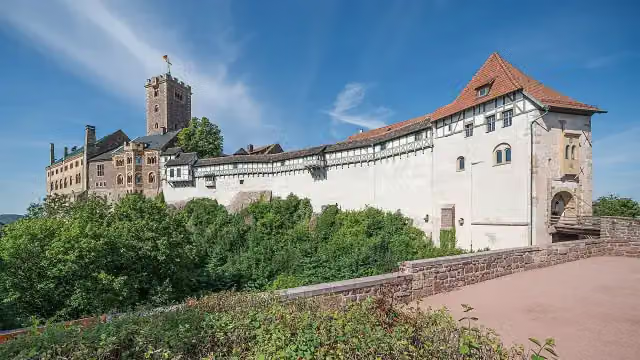 WartburgAttraction · 1.4 km from the route
- 2
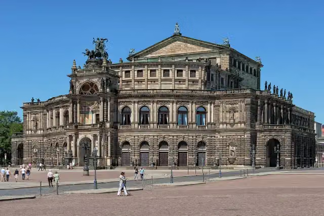 SemperoperAttraction · 150 m from the route
- 3
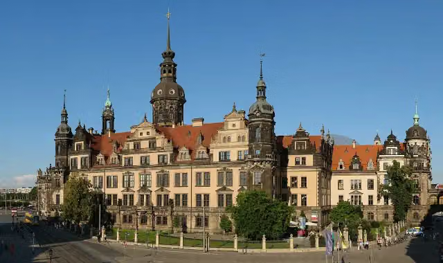 Dresden CastleAttraction · 207 m from the route
- 4
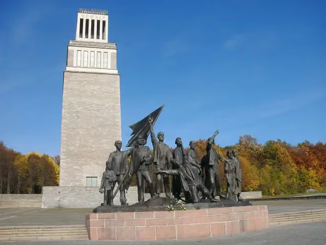 Buchenwald MemorialMonument · 4 km from the route
- 5
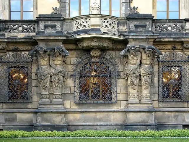 Historisches Grünes GewölbeMuseum · 228 m from the route
- 6
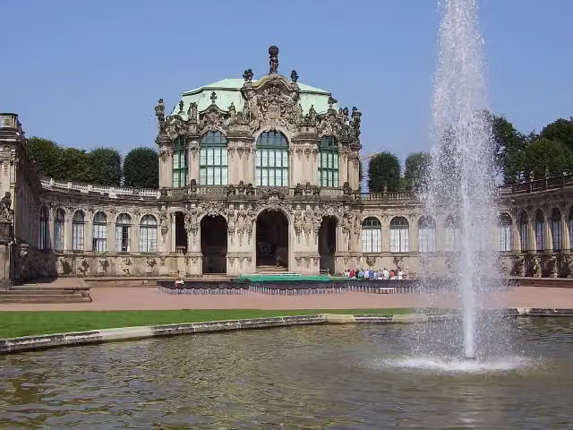 ZwingerAttraction · 318 m from the route
- 7
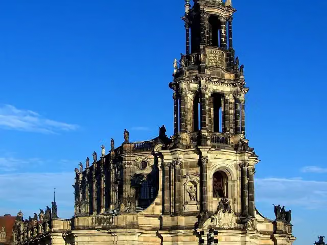 Kathedrale Ss. TrinitatisAttraction · 105 m from the route
- 8
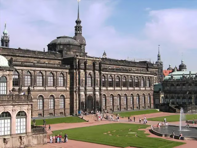 Gemäldegalerie Alte MeisterMuseum · 251 m from the route
- 9
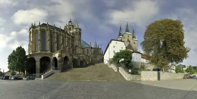 Erfurt CathedralAttraction · 470 m from the route
- 10
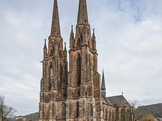 elisabeth churchAttraction · 4.3 km from the route
- 11
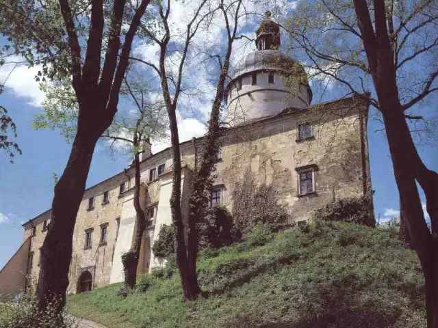 Hrad GrabštejnAttraction · 4.6 km from the route
- 12
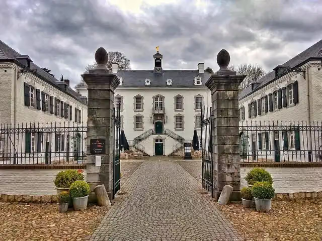 Kasteel VaalsbroekCastle · 6.2 km from the route
- 13
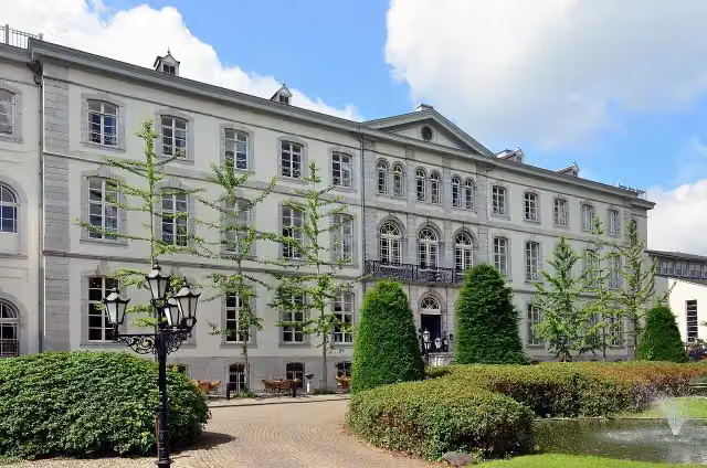 Huis BloemendalCastle · 4.9 km from the route
- 14
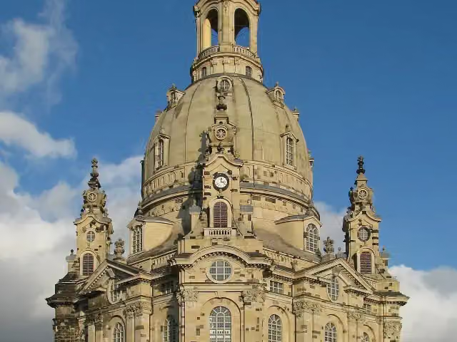 Church of Our LadyAttraction · 216 m from the route
- 15
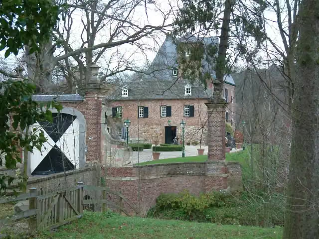 Kasteel LemiersCastle · 6.3 km from the route
- 16
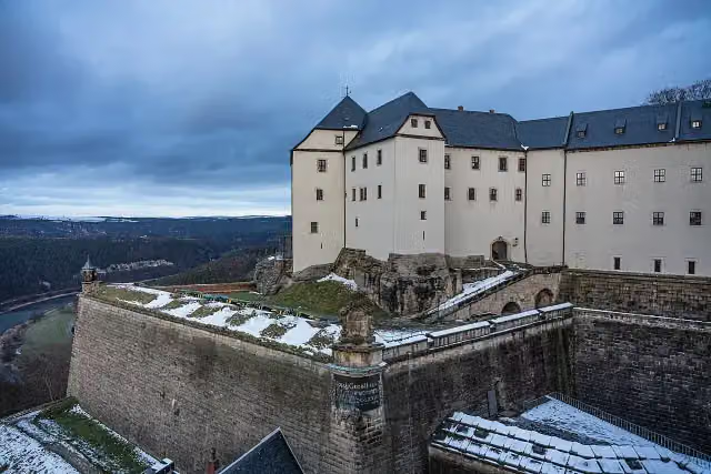 Königstein FortressAttraction · 9.8 km from the route
- 17
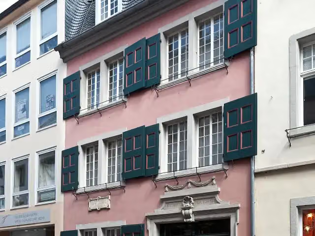 Beethoven HouseMuseum · 426 m from the route
- 18
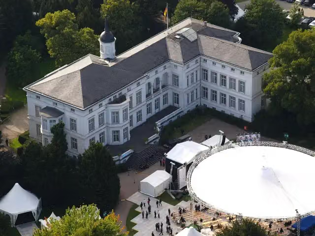 Palais SchaumburgAttraction · 295 m from the route
- 19
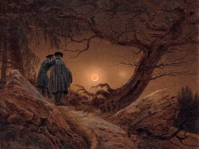 AlbertinumMuseum · 173 m from the route
- 20
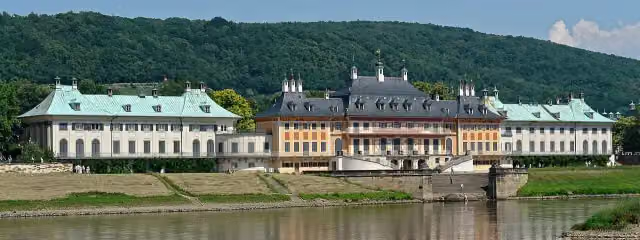 Schloss PillnitzAttraction · 396 m from the route
- 21
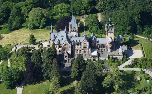 Schloß DrachenburgAttraction · 982 m from the route
- 22
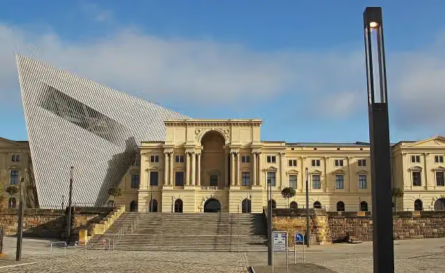 Bundeswehr Military History MuseumMuseum · 2 km from the route
- 23
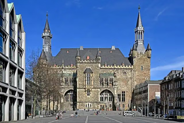 Aachen Town HallAttraction · 114 m from the route
- 24
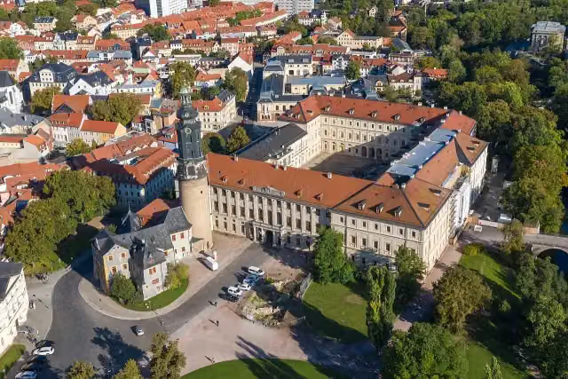 StadtschlossCastle · 156 m from the route
- 25
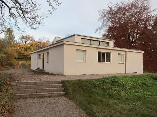 Haus am HornAttraction · 106 m from the route
Explore more
Frequently asked questions
How long is Mittelland-Route?
Mittelland-Route is 1,043.2 km long, in 6 parts of 173.9 km on average. Allow ± 11:35 h per part of riding: 15 km an hour, without breaks.
Is this route a circular ride?
No, the route runs from Aachen to Zittau.
Where does this route start?
The route starts in Aachen.
How hard is this route?
Hard per stage, with 1,088 m per stage of climbing.
Are there toilets along this route?
Yes, there are 102 public toilets within 100 m of the route. The longest stretch without a toilet is 121.8 km.
Can you fill up with water along this route?
Yes, there are 29 water fountains and refill points within 100 m of the route.
What is there to see along this route?
Along the way you pass Centre Charlemagne, Domschatzkammer and Grashaus.
Can I download this route as a GPX file?
Yes. Sign in with your Outdoor Pitstop account and choose Download GPX at the top of this page: 10 routes a month for free, unlimited with Pro.
Starting point
More routes from this place
Route data © OpenStreetMap contributors





