 Outdoor Pitstop
Cycle route · Berlin · Updated on 14 November 2026
Havelland-Radweg cycle route
Havelland-Radweg is a cycle route of 142.1 km from Berlin. Along the way you'll find 251 benches, 3 water fountains and refill points, 6 public toilets and 6 bike pumps.
i
i
i
The route step by step
From start to finish, with what you pass along the way and the distance in between.
- 142.1 km
- ± 9:30 h
- ↑ 210 m · ↓ 216 m
- Hard
- From A to B
- Regional route
Start in Berlin
0 kmAt the start: public toilet.
13.4 km · 112 benches
Water point
13.4 km9.8 km · 12 benches
2 bike pumps
23.3 km6.2 km · 15 benches
Bike pump
29.5 km17.5 km · 10 benches
Bike pump
46.9 km14.9 km · 8 benches
Water point
61.8 km7.1 km · 2 benches

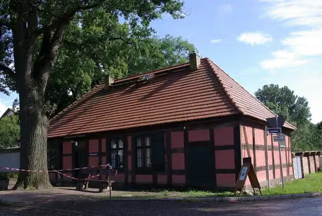
Fintelmannhaus
68.9 kmAttraction
12.3 km · 3 benches
Public toilet
81.2 km579 m
Bike pump
81.8 km9.3 km · 39 benches
Public toilet
91 km347 m · 20 benches
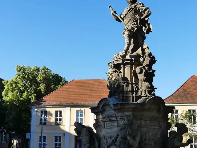
Kurfürstendenkmal "Friedrich Wilhelm"
91.4 kmMemorial
675 m · 16 benches
Public toilet
92.1 km7.4 km · 4 benches
Public toilet
99.4 km1.1 km
Public toilet
100.5 km5 km · 4 benches
Water point and bike pump
105.5 km26.2 km · 2 benches
Observation tower
131.7 kmObservation tower
10.4 km
Finish
142.1 km
Longest stretch without a toilet: 81.1 kmBetween 72 m and 81.2 km there is no public toilet within 100 m of the route.
The route with the pitstops and sights within 100 m of it.
3 sights along the way
In the order you pass them. With the Outdoor Pitstop app you hear their story on the spot.
i
Photo: Clemensfranz · Wikimedia Commons · CC BY-SA 3.0View the photo on Wikimedia CommonsAttraction · after 68.9 km
i
Photo: Mimooo · Wikimedia Commons · CC BY-SA 4.0View the photo on Wikimedia CommonsMemorial · after 91.4 km

Observation tower · after 131.7 km
Elevation and terrain
- Up
- ↑ 210 m
- Down
- ↓ 216 m
- Highest point
- 61 m
- Lowest point
- 25 m
Nowhere steeper than 5%.
Elevation from Copernicus GLO-30 (European Union and ESA), smoothed.
produced using Copernicus WorldDEM-30 © DLR e.V. 2010-2014 and © Airbus Defence and Space GmbH 2014-2018 provided under COPERNICUS by the European Union and ESA; all rights reserved
Way types
142.1 km in total- Path: 37 km
- Track: 35.9 km
- Cycle path: 21.2 km
- Street: 20.1 km
- Road: 12.9 km
- Busy road: 10.1 km
- Footpath (walk your bike): 4.7 km
Surfaces
142.1 km in total- Asphalt: 112.6 km
- Paved: 22.9 km
- Gravel: 75 m
- Unpaved: 25 m
- Unknown: 6.2 km
About the cycle route Havelland-Radweg
Updated on 14 November 2026, with data from OpenStreetMap, the AHN and Copernicus.
Where do you cycle?
Havelland-Radweg is a cycle route of 142.1 km that starts in Berlin. It does not end where it starts. Along the way you pass Fintelmannhaus (after 68.9 km), Kurfürstendenkmal "Friedrich Wilhelm" (after 91.4 km) and Observation tower (after 131.7 km).
How hard is the route?
You climb 210 m in total and descend 216 m. Allow ± 9:30 h, without breaks. The level is hard.
What roads do you cycle on?
The longest part is path (37 km), track (35.9 km) and cycle path (21.2 km). Of the surface, 112.6 km asphalt and 22.9 km paved. For 6.2 km the surface is not known.
Pitstops along the way
Within 100 metres of the route there are 251 benches, 3 water fountains and refill points, 6 public toilets and 6 bike pumps. You can fill your bottle after 13.4 km, after 61.8 km and after 105.5 km. The longest stretch without a toilet is 81.1 km. The Outdoor Pitstop app navigates you there.
Cycle routes nearby
6- Havel-RadwegHard · From A to B396.1 km
- Radschnellverbindung West-RouteEasy · From A to B19.7 km
- [D11] Ostsee-Oberbayern 03 [Brandenburg Mitte]Hard · From A to B64.9 km
- Eurovelo 7 - Sun Route - part GermanyHard · From A to B737.9 km
- Radfernweg Berlin-Kopenhagen BrandenburgHard · From A to B135.4 km
- Berliner MauerwegHard · Circular ride157.8 km
Sights nearby
Within 10 km of the route, best known first.
- 1
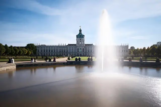 Charlottenburg PalaceCastle · 6.7 km from the route
- 2
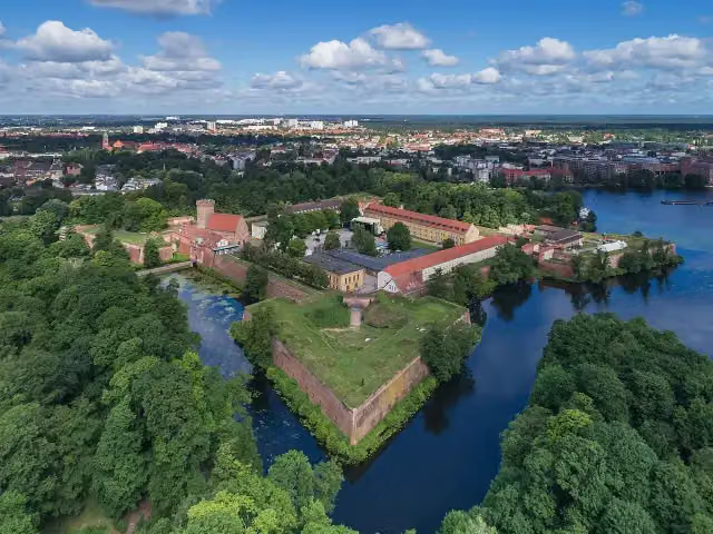 Spandau CitadelAttraction · 1.1 km from the route
- 3
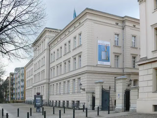 Bröhan MuseumMuseum · 6.7 km from the route
- 4
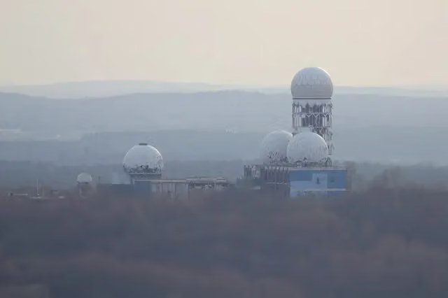 TeufelsbergViewpoint · 5.1 km from the route
- 5
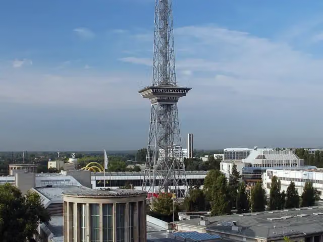 Funkturm BerlinAttraction · 6.3 km from the route
- 6
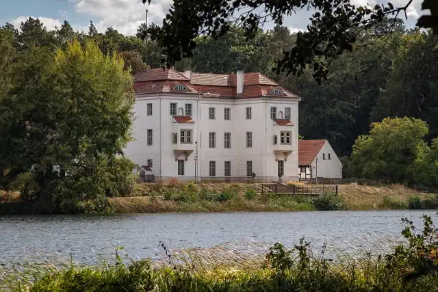 Jagdschloss GrunewaldCastle · 8.6 km from the route
- 7
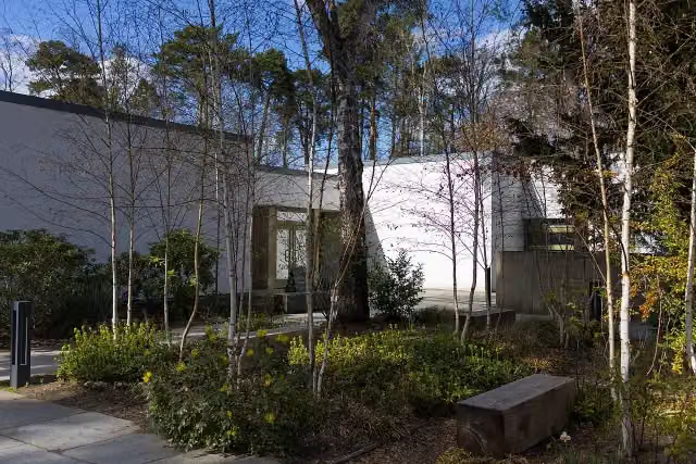 Bridges MuseumMuseum · 9.1 km from the route
- 8
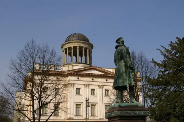 Museum BerggruenMuseum · 6.7 km from the route
- 9
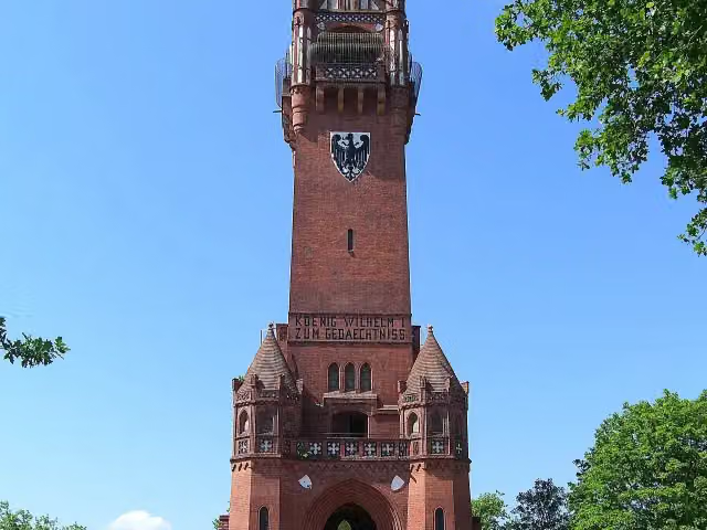 GrunewaldturmObservation tower · 6.3 km from the route
- 10
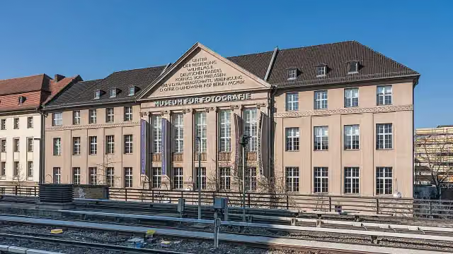 Museum of PhotographyMuseum · 9.5 km from the route
- 11
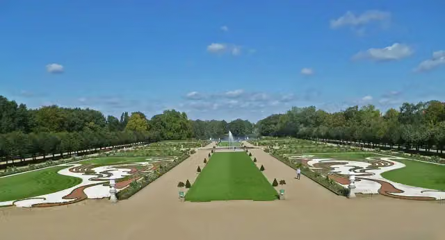 Charlottenburg Palace GardensAttraction · 6.4 km from the route
- 12
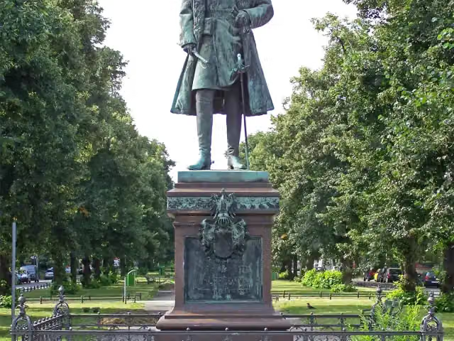 Prinz Albrecht von PreußenMemorial · 6.8 km from the route
- 13
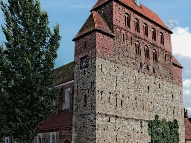 Havelberg CathedralAttraction · 665 m from the route
- 14
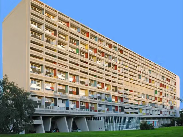 CorbusierhausAttraction · 4.1 km from the route
- 15
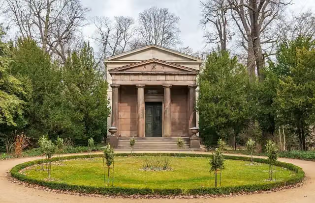 Mausoleum CharlottenburgMuseum · 6.4 km from the route
- 16
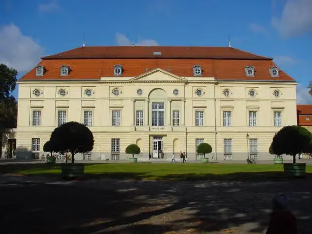 Käthe Kollwitz MuseumMuseum · 6.5 km from the route
- 17
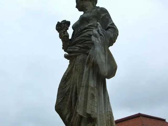 FloraMemorial · 6.6 km from the route
- 18
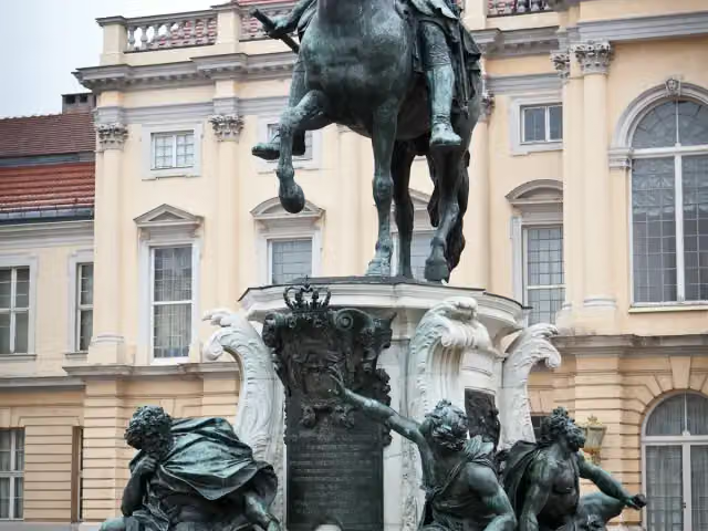 Equestrian statue of Friedrich Wilhelm IMemorial · 6.7 km from the route
- 19
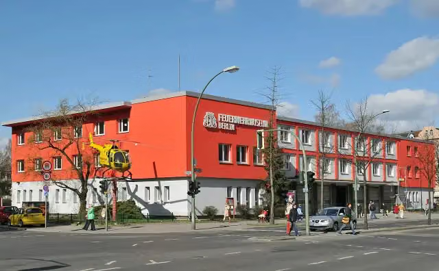 Fire Departnent Museum BerlinMuseum · 8.1 km from the route
- 20
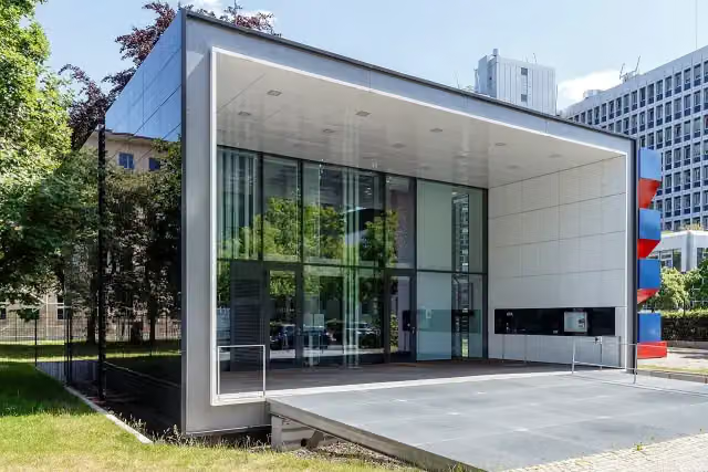 Effizienzhaus-Plus mit ElektromobilitätMuseum · 9.2 km from the route
- 21
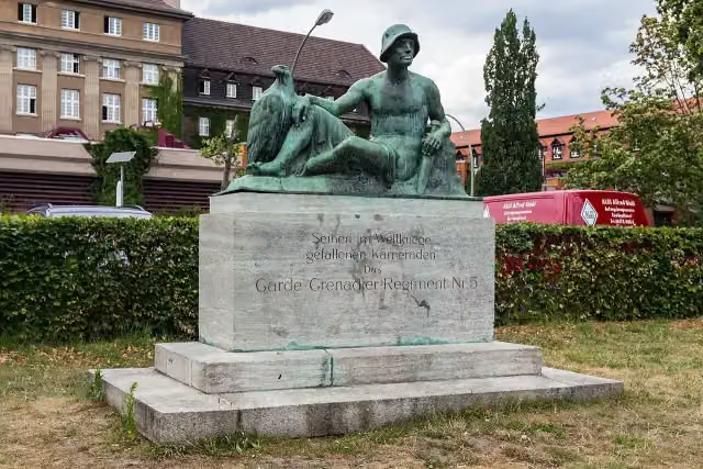 Denkmal des Garde-Grenadier-Regiments Nr. 5Memorial · 177 m from the route
- 22
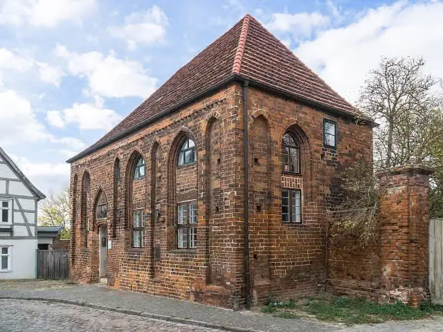 BeguinenhausAttraction · 266 m from the route
- 23
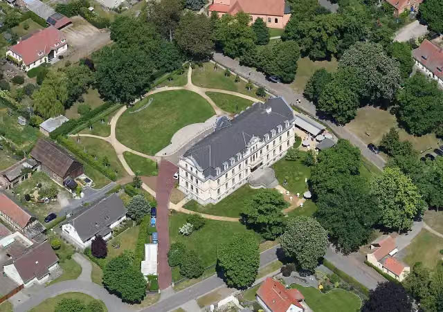 Schloss RibbeckMuseum · 374 m from the route
- 24
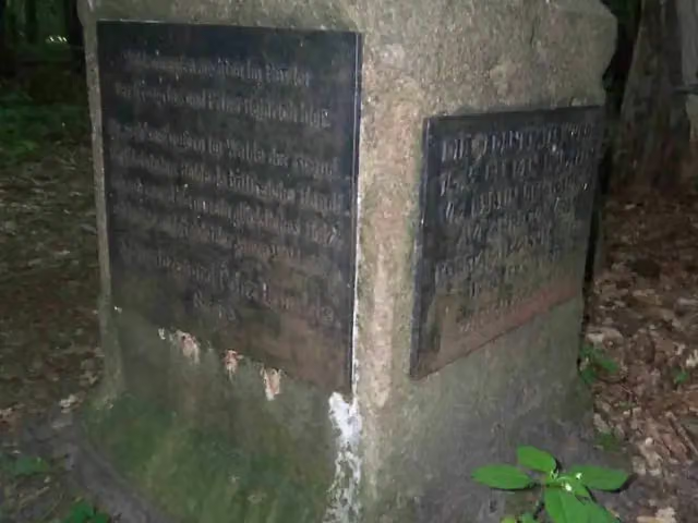 KronprinzenbucheMemorial · 422 m from the route
- 25
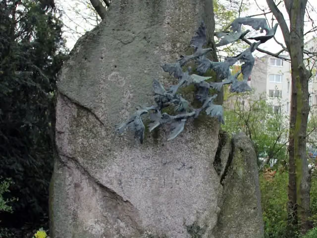 Denkmal der HeeresbrieftaubeMemorial · 438 m from the route
Explore more
More cycle routes around Berlin
Frequently asked questions
How long is Havelland-Radweg?
Havelland-Radweg is 142.1 km long. Allow ± 9:30 h of riding: 15 km an hour, without breaks.
Is this route a circular ride?
No, the route starts and ends at different spots.
Where does this route start?
The route starts in Berlin.
How hard is this route?
Hard, with 210 m of climbing.
Are there toilets along this route?
Yes, there are 6 public toilets within 100 m of the route. The longest stretch without a toilet is 81.1 km.
Can you fill up with water along this route?
Yes, there are 3 water fountains and refill points within 100 m of the route.
What is there to see along this route?
Along the way you pass Fintelmannhaus, Kurfürstendenkmal "Friedrich Wilhelm" and Observation tower.
Can I download this route as a GPX file?
Yes. Sign in with your Outdoor Pitstop account and choose Download GPX at the top of this page: 10 routes a month for free, unlimited with Pro.
Starting point
More routes from this place
Route data © OpenStreetMap contributors





