 Outdoor Pitstop
Cycle route · Leinefelde-Worbis · Updated on 14 November 2026
Leine-Heide-Radweg cycle route
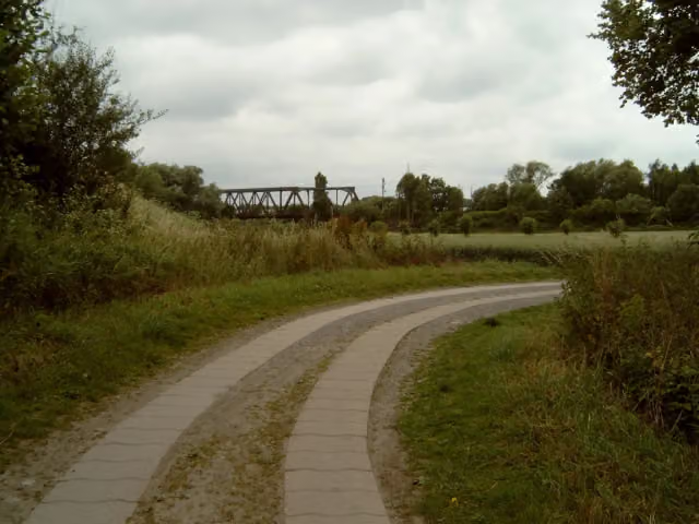
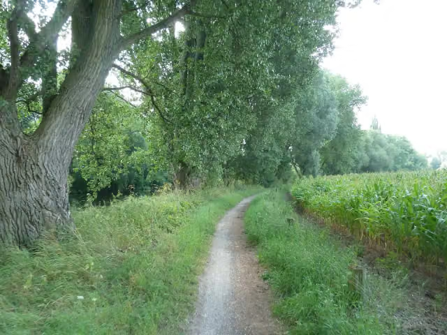
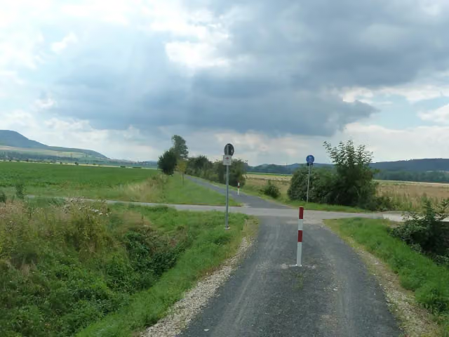
Leine-Heide-Radweg is a cycle route of 404.6 km from Leinefelde-Worbis. Along the way you'll find 1,070 benches, 4 water fountains and refill points, 34 public toilets, 14 bike pumps and 5 honesty boxes and farm vending machines.
i
i
i
The route step by step
From start to finish, with what you pass along the way and the distance in between.
- 404.6 km
- ± 27:00 h
- ↑ 679 m · ↓ 1,009 m
- Hard
- From A to B
- Regional route
- Colour of the signs
Start in Leinefelde-Worbis
0 km15.2 km · 16 benches
2 public toilets
15.2 km773 m · 16 benches

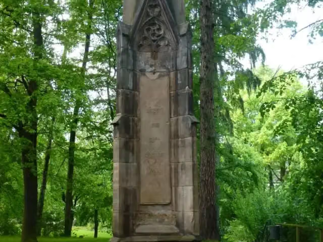
Völkerschlachtdenkmal
15.9 kmMemorial
155 m · 19 benches
2 public toilets
16.1 km4.4 km · 20 benches
Rengelröder Warte
20.5 kmAttraction
16.6 km · 56 benches
Museum Friedland
37.1 kmMuseum
72.9 km · 126 benches
Bike pump
109.9 km478 m · 4 benches
Alt-Freden-Sammlung
110.4 kmMuseum
6 km · 6 benches
Bike pump
116.4 km8.7 km · 8 benches
Water point
125.1 km4.4 km
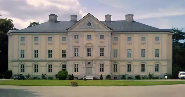
Schloss Brüggen
129.4 kmCastle
5.6 km · 19 benches
Public toilet
135 km6.4 km · 18 benches
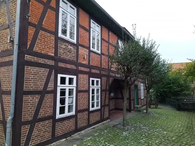
Heimatmuseum Elze and 1 more
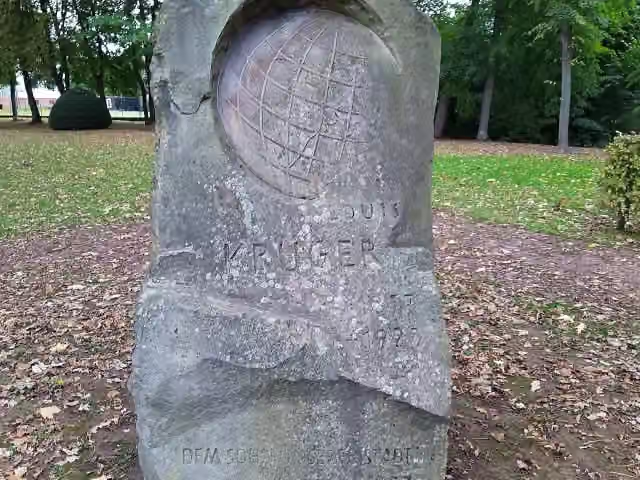
141.5 kmLouis-Krüger-Denkmal
18.3 km · 25 benches
Honesty box
159.8 km9.3 km · 23 benches
Bike pump
169 km1.3 km · 3 benches
Aussichtsturm Leinemasch
170.3 kmObservation tower
2.1 km · 9 benches
Public toilet
172.4 km7 km · 92 benches
Public toilet
179.4 km407 m · 4 benches
Water point
179.8 km2.4 km · 44 benches
Georg Egestorff
182.2 kmMemorial
1.1 km · 21 benches
Public toilet
183.3 km2.1 km · 14 benches
Sackmann-Denkmal and 1 more
185.3 kmSt. Nicolaikirche
189 m
Gedenktafel für das ehemalige Konzentrationslager Limmer
185.5 kmMemorial
3.7 km · 2 benches
Honesty box
189.2 km9.1 km · 18 benches
Public toilet
198.3 km570 m
Public toilet and water point
198.9 km307 m · bench
Public toilet
199.2 km214 m
Public toilet
199.4 km3.3 km
Gefallenendenkmal and 1 more
202.7 kmKirche Schloß Ricklingen
5.1 km · 5 benches
Water point
207.8 km
Show the other 39 steps
156 m
3 bike pumps
208 km37.1 km · 18 benches
Harrys Klingendes Museum
245.1 kmMuseum
1 km · 11 benches
Public toilet
246.1 km11.4 km · 2 benches
Schloss Ahlden
257.4 kmCastle
210 m
Bunkenburg
257.7 kmArchaeological site
10.4 km · 6 benches
Observation tower
268.1 kmObservation tower
422 m · bench
Dorfmuseum
268.5 kmMuseum
8.7 km · 29 benches
Public toilet
277.2 km157 m · 7 benches
Archäologisch-Geologisches Museum
277.4 kmMuseum
7.1 km · 40 benches
Kriegerdenkmal
284.5 kmPublic toilet
876 m · 9 benches
Public toilet
285.4 km7.7 km · 13 benches
Public toilet
293.1 km5.5 km · 19 benches
Public toilet and bike pump
298.5 km694 m · 16 benches
Soltauer Salzmuseum
299.2 kmMuseum
442 m
Public toilet
299.7 km1.2 km · bench
Gesundbrunnen
300.8 kmAttraction
6.8 km · 12 benches
Bike pump
307.6 km2.4 km · 5 benches
Public toilet
310 km4.2 km · 6 benches
Bike pump
314.2 km10.7 km · 7 benches
Public toilet and bike pump
325 km1.4 km · 17 benches
Honesty box
326.3 km13.5 km · 31 benches
Heidemuseum Dat Ole Hus
339.8 km2 public toilets and 2 bike pumps
3.8 km · 23 benches
Public toilet
343.6 km12.1 km · 12 benches
Holmer Mühle
355.8 kmMuseum
5 km · 9 benches
Sniers Hus
360.8 kmPublic toilet and honesty box
4.2 km · 14 benches
2 public toilets
365 km221 m · 4 benches
Mahnmal für die Opfer des Nationalsozialismus und Gewaltherschaft and 1 more
365.2 kmMutter mit Kind and bike pump
823 m · 14 benches
Bike pump
366 km2.5 km · bench
Hünenschloss
368.5 kmArchaeological site
13.8 km · 17 benches
Public toilet
382.3 km2.2 km · 5 benches
3 public toilets
384.6 km182 m · 9 benches
Public toilet
384.7 km4.4 km · 7 benches
Honesty box
389.1 km1.3 km · 3 benches
Public toilet
390.4 km1.6 km · 22 benches
electrum - Museum der Elektrizität
392.1 kmMuseum
4.2 km · 23 benches
Keltisches Baumhoroskop
396.3 kmAttraction
7 km · 59 benches
German Food Additives Museum
403.2 kmMuseum
1 km · 19 benches
Public toilet
404.3 km309 m · 10 benches
Finish
404.6 kmAt the finish: Haus der Photographie.
Longest stretch without a toilet: 118.9 kmBetween 16.1 km and 135 km there is no public toilet within 100 m of the route.
The route with the pitstops and sights within 100 m of it.
33 sights along the way
In the order you pass them. With the Outdoor Pitstop app you hear their story on the spot. 25 more along the route are on the map.
i
Photo: Tnemtsoni · Wikimedia Commons · CC BY-SA 3.0View the photo on Wikimedia CommonsMemorial · after 15.9 km

i
Photo: Jan Stubenitzky (Dehio) · Wikimedia Commons · CC BY-SA 3.0View the photo on Wikimedia CommonsAttraction · after 20.5 km

Museum · after 37.1 km
Museum · after 110.4 km
i
Photo: user:Party2hearty · Wikimedia Commons · CC BY 4.0View the photo on Wikimedia CommonsCastle · after 129.4 km
i
Photo: Gerd Fahrenhorst · Wikimedia Commons · CC BY 4.0View the photo on Wikimedia CommonsMuseum · after 141.5 km
i
Photo: Gerd Fahrenhorst · Wikimedia Commons · CC BY 4.0View the photo on Wikimedia CommonsMemorial · after 141.5 km
Observation tower · after 170.3 km
Elevation and terrain
- Up
- ↑ 679 m
- Down
- ↓ 1,009 m
- Highest point
- 331 m
- Lowest point
- 3 m
- 1 flight of stairs
Elevation from Copernicus GLO-30 (European Union and ESA), smoothed.
produced using Copernicus WorldDEM-30 © DLR e.V. 2010-2014 and © Airbus Defence and Space GmbH 2014-2018 provided under COPERNICUS by the European Union and ESA; all rights reserved
Way types
404.6 km in total- Track: 144 km
- Road: 72.3 km
- Street: 61.5 km
- Path: 57.2 km
- Cycle path: 31.7 km
- Busy road: 28.9 km
- Footpath (walk your bike): 7.9 km
- Steps (carry your bike): 1 flight of stairs
- Unknown: 275 m
Surfaces
404.6 km in total- Asphalt: 252.1 km
- Paved: 64.6 km
- Gravel: 62 km
- Unpaved: 9.9 km
- Natural: 2.7 km
- Unknown: 12.6 km
About the cycle route Leine-Heide-Radweg
Updated on 14 November 2026, with data from OpenStreetMap, the AHN and Copernicus.
Where do you cycle?
Leine-Heide-Radweg is a cycle route of 404.6 km that starts in Leinefelde-Worbis. It does not end where it starts. You start in Leinefelde and finish in Hamburg. Along the way you pass Völkerschlachtdenkmal (after 15.9 km), Rengelröder Warte (after 20.5 km) and Museum Friedland (after 37.1 km).
How hard is the route?
You climb 679 m in total and descend 1,009 m. There is 1 flight of steps along the way. Allow ± 27:00 h, without breaks. The level is hard.
What roads do you cycle on?
The longest part is track (144 km), road (72.3 km) and street (61.5 km). Of the surface, 252.1 km asphalt and 64.6 km paved. For 12.6 km the surface is not known.
Pitstops along the way
Within 100 metres of the route there are 1,070 benches, 4 water fountains and refill points, 34 public toilets, 14 bike pumps and 5 honesty boxes and farm vending machines. You can fill your bottle after 125.1 km, after 179.8 km, after 198.9 km and after 207.8 km. The longest stretch without a toilet is 118.9 km. The Outdoor Pitstop app navigates you there.
Cycle routes nearby
6Sights nearby
Within 10 km of the route, best known first.
- 1
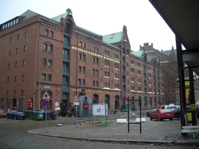 Miniature WonderlandAttraction · 1.1 km from the route
- 2
 Elbe Philharmonic HallAttraction · 1.4 km from the route
- 3
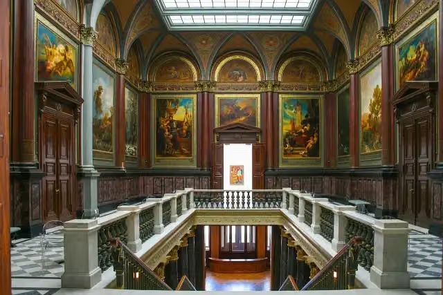 Hamburger KunsthalleMuseum · 966 m from the route
- 4
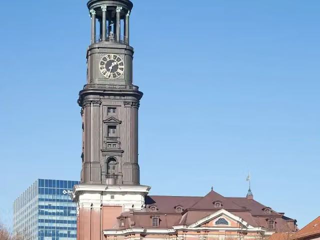 Church of St. MichaelAttraction · 1.7 km from the route
- 5
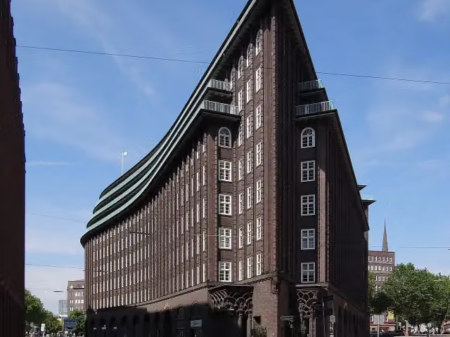 Chilehaus HamburgAttraction · 250 m from the route
- 6
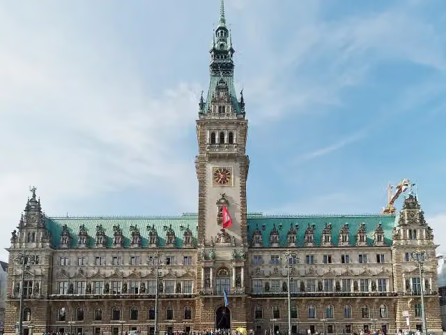 RathausAttraction · 890 m from the route
- 7
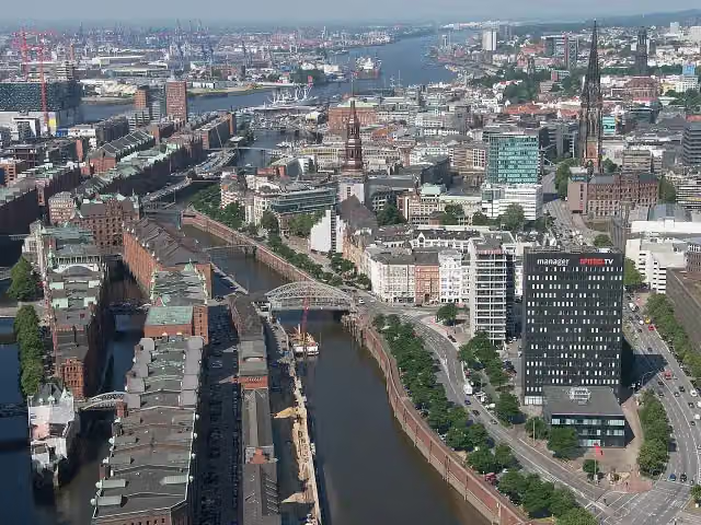 SpeicherstadtAttraction · 1.2 km from the route
- 8
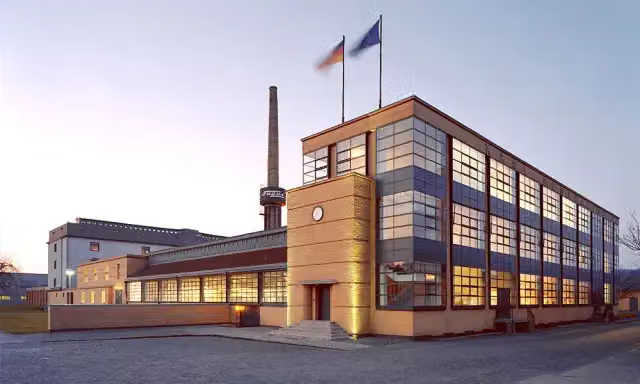 Fagus FactoryAttraction · 244 m from the route
- 9
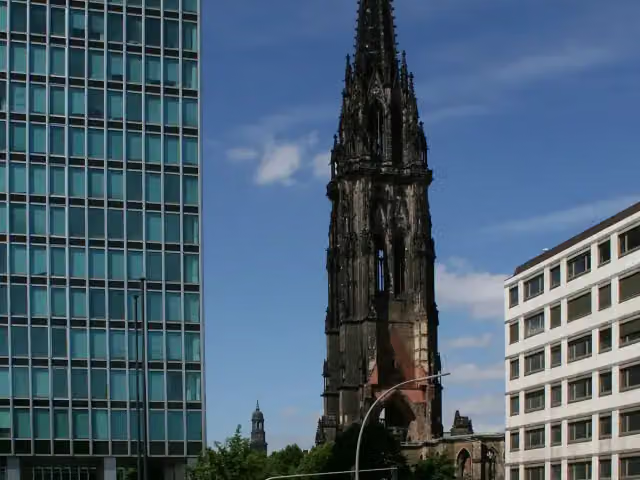 St. Nikolai MuseumMuseum · 869 m from the route
- 10
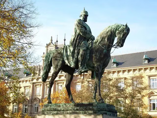 Planten un BlomenAttraction · 2.1 km from the route
- 11
 Wappen FC St. PauliMemorial · 2.6 km from the route
- 12
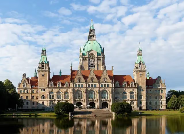 New Town HallAttraction · 992 m from the route
- 13
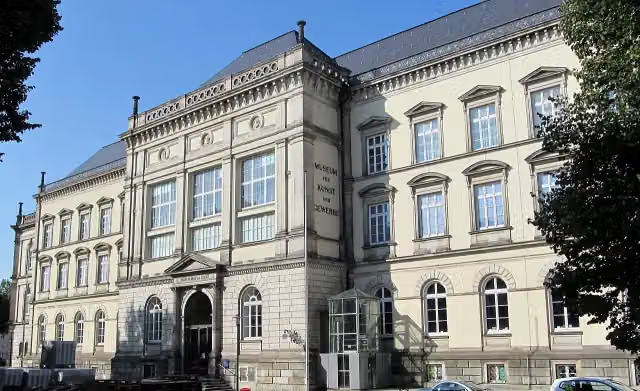 Museum für Kunst und Gewerbe HamburgMuseum · 616 m from the route
- 14
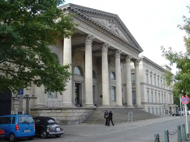 Niedersächsischer LandtagCastle · 824 m from the route
- 15
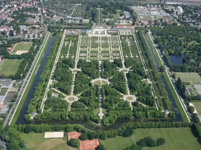 Herrenhäuser GärtenAttraction · 1.2 km from the route
- 16
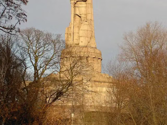 Bismarck-DenkmalAttraction · 2.1 km from the route
- 17
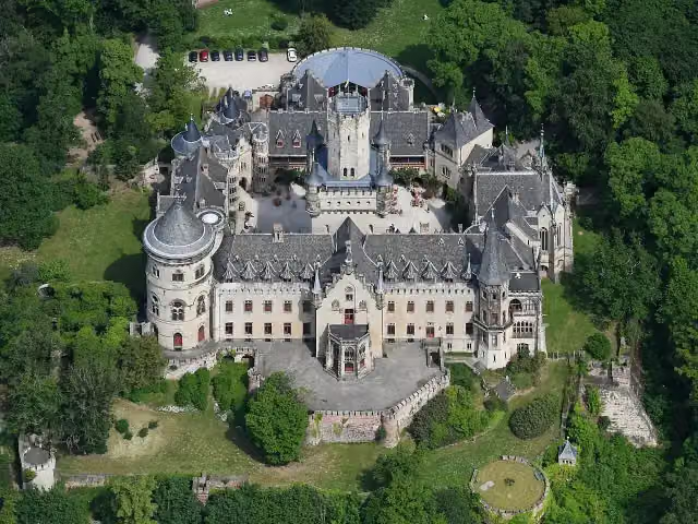 Schloss MarienburgAttraction · 182 m from the route
- 18
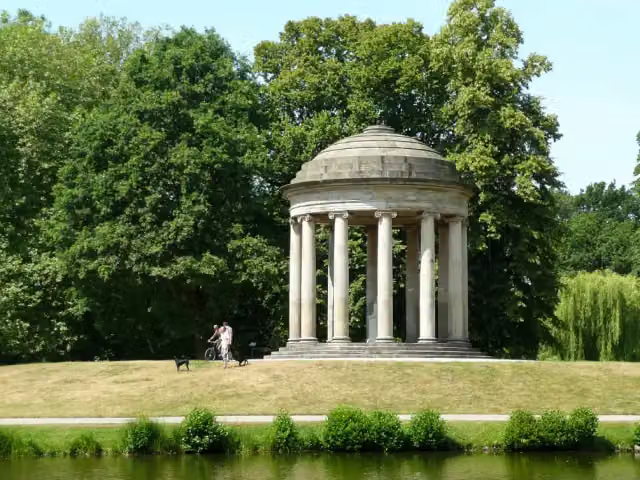 LeibniztempelMonument · 917 m from the route
- 19
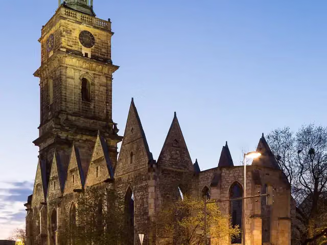 Aegidien ChurchRuins · 1.2 km from the route
- 20
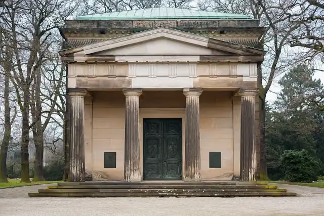 Welf family mausoleumAttraction · 1.6 km from the route
- 21
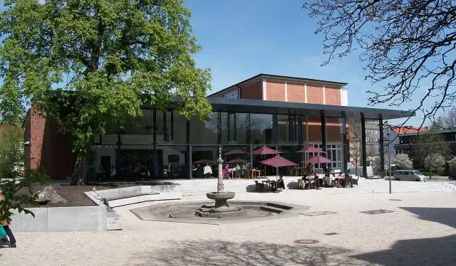 Hamburg Archaeological MuseumMuseum · 218 m from the route
- 22
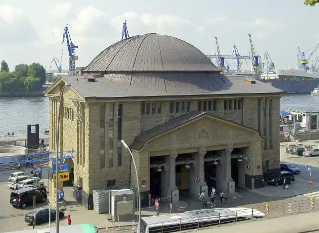 St. Pauli Elbe TunnelAttraction · 2.5 km from the route
- 23
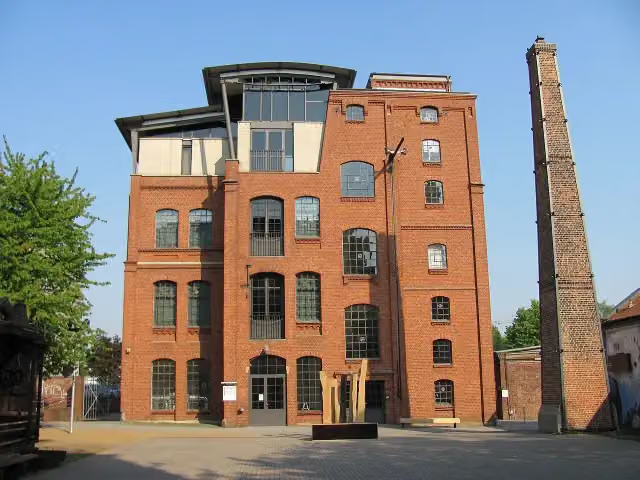 Museum of WorkMuseum · 5.1 km from the route
- 24
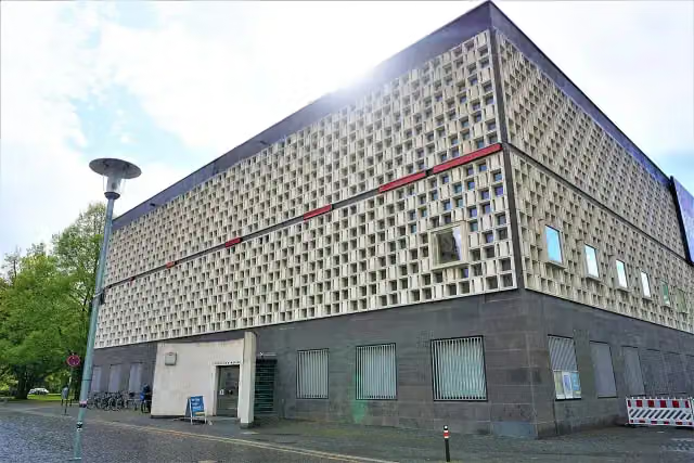 Museum August KestnerMuseum · 977 m from the route
- 25
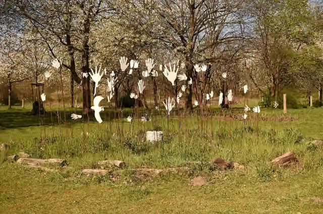 Hiroshima-GedenkhainMemorial · 2.2 km from the route
Explore more
More cycle routes around Leinefelde-Worbis
Frequently asked questions
How long is Leine-Heide-Radweg?
Leine-Heide-Radweg is 404.6 km long. Allow ± 27:00 h of riding: 15 km an hour, without breaks.
Is this route a circular ride?
No, the route runs from Leinefelde to Hamburg.
Where does this route start?
The route starts in Leinefelde-Worbis.
How hard is this route?
Hard, with 679 m of climbing.
Are there toilets along this route?
Yes, there are 34 public toilets within 100 m of the route. The longest stretch without a toilet is 118.9 km.
Can you fill up with water along this route?
Yes, there are 4 water fountains and refill points within 100 m of the route.
What is there to see along this route?
Along the way you pass Völkerschlachtdenkmal, Rengelröder Warte and Museum Friedland.
Can I download this route as a GPX file?
Yes. Sign in with your Outdoor Pitstop account and choose Download GPX at the top of this page: 10 routes a month for free, unlimited with Pro.
Starting point
More routes from this place
Route data © OpenStreetMap contributors





