 Outdoor Pitstop
Walking route · Boxtel · Brabant Fens Trail (Main route) · Updated on 6 November 2026
Brabants Vennenpad (Hoofdroute) walk
Brabants Vennenpad (Hoofdroute) is a walk of 257.7 km from Boxtel that starts and ends at the same spot. Along the way you'll find 356 benches and picnic tables, 6 water fountains and refill points and 1 public toilet.
i
i
i
The route step by step
From start to finish, with what you pass along the way and the distance in between.
- 257.7 km
- ± 4:45 h per stage
- ↑ 53 m · ↓ 61 m
- Hard per stage
- Circular walk
- Regional route
Pick a stage to see the pitstops per kilometre. Along the way you'll find 356 benches and picnic tables, 6 water fountains and refill points and 1 public toilet.
Follow these steps in the appThe route with the water points, toilets and sights within 100 m of it.
10 sights along the way
In the order you pass them. With the Outdoor Pitstop app you hear their story on the spot. 2 more along the route are on the map.

Observation tower
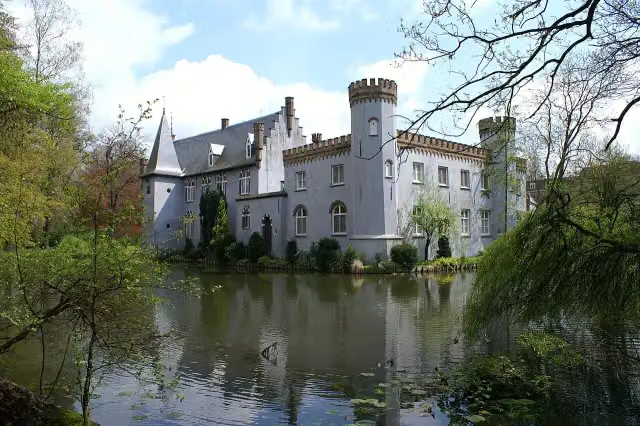
Kasteel Stapelen
Castle
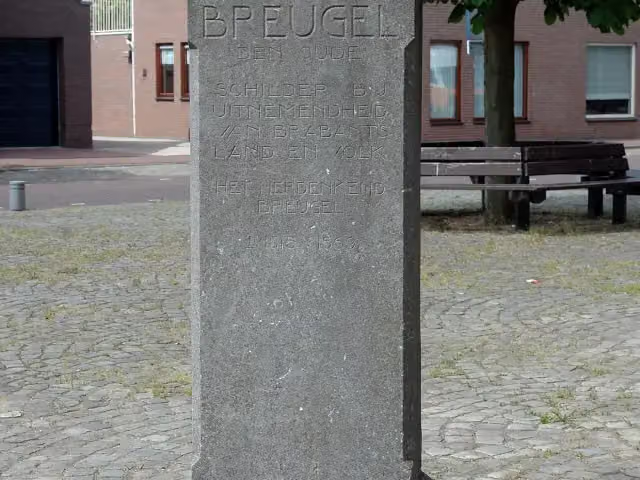
Pieter Bruegelmonument
Memorial
i
Photo: Cariboe55 · Wikimedia Commons · CC BY-SA 4.0View the photo on Wikimedia CommonsMemorial
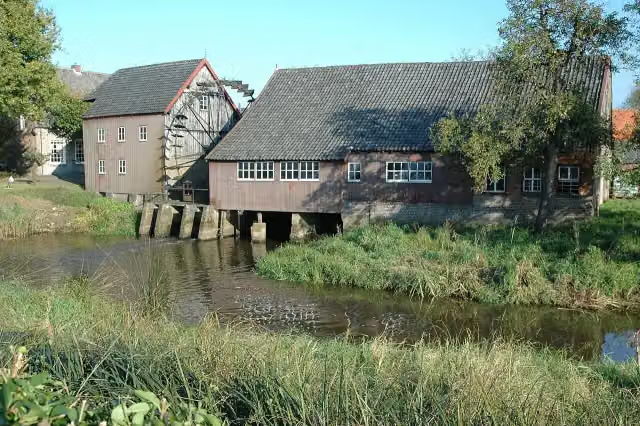
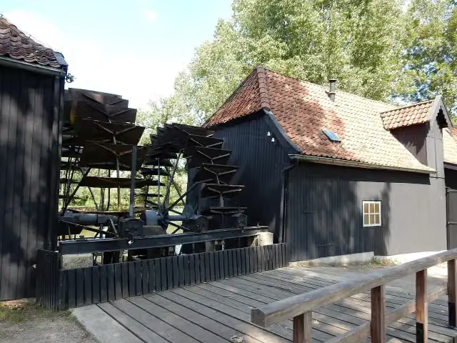
Collse Watermolen
Attraction
Opwettense watermolen
Attraction
 Audio story · 2 min
i
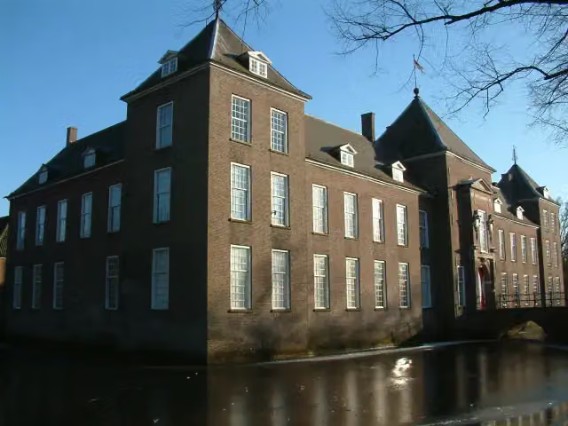
Photo: Pivos at Dutch Wikipedia (Original text: Pivos) · Wikimedia Commons · CC BY-SA 3.0View the photo on Wikimedia CommonsKasteel Heeze
Castle
Observation tower
Stages (12)
- 1Brabants Vennenpad - 1Brabant Fens Trail - 122 km
- 2Brabants Vennenpad - 2Brabant Fens Trail - 224.7 km
- 3Brabants Vennenpad - 3Brabant Fens Trail - 317.2 km
- 4Brabants Vennenpad - 4Brabant Fens Trail - 418 km
- 5Brabants Vennenpad - 5Brabant Fens Trail - 514 km
- 6Brabants Vennenpad - 6Brabant Fens Trail - 624.2 km
- 7Brabants Vennenpad - 7Brabant Fens Trail - 724.1 km
- 8Brabants Vennenpad - 8Brabant Fens Trail - 824.7 km
- 9Brabants Vennenpad - 9Brabant Fens Trail - 921.8 km
- 10Brabants Vennenpad - 10Brabant Fens Trail - 1019.5 km
- 11Brabants Vennenpad - 11Brabant Fens Trail - 1125.7 km
- 12Brabants Vennenpad - 12Brabant Fens Trail - 1221.9 km
Elevation and terrain
- Up
- ↑ 53 m
- Down
- ↓ 61 m
- Highest point
- 41 m
- Lowest point
- 7 m
- 2 stairs
Elevation from AHN (Rijkswaterstaat), smoothed.
Way types
257.7 km in total- Track: 101.5 km
- Path: 74.5 km
- Road: 34.8 km
- Cycleway: 29.1 km
- Street: 10.4 km
- Footpath: 6.3 km
- Busy road: 200 m
- Stairs: 2 stairs
Surfaces
257.7 km in total- Natural: 102.9 km
- Unpaved: 46.2 km
- Asphalt: 37.4 km
- Gravel: 16.7 km
- Paved: 16.4 km
- Unknown: 37.3 km
About the walking route Brabants Vennenpad (Hoofdroute)
Updated on 6 November 2026, with data from OpenStreetMap and the AHN.
Where do you walk?
Brabants Vennenpad (Hoofdroute) is a circular walk of 257.7 km from Boxtel: it starts and ends in the same place.
How hard is the route?
You climb 53 m in total and descend 61 m. There are 2 flights of steps along the way. Allow ± 4:45 h per stage, without breaks. Per stage the level is hard.
What paths do you walk on?
The longest part is track (101.5 km), path (74.5 km) and road (34.8 km). Of the surface, 102.9 km natural and 46.2 km unpaved. For 37.3 km the surface is not known.
Pitstops along the way
Within 100 metres of the route there are 356 benches and picnic tables, 6 water fountains and refill points and 1 public toilet. The Outdoor Pitstop app navigates you there.
Part of Brabants Vennenpad (Alle varianten) (Brabant Fens Trail)
Website of the routeWalks nearby
6Sights nearby
Within 10 km of the route, best known first.
- 1
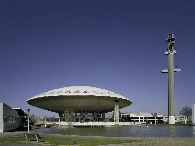 EvoluonAttraction · 4.7 km from the route
- 2
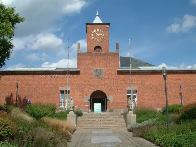 Van AbbemuseumMuseum · 3.6 km from the route
- 3
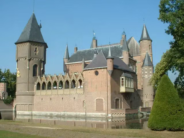 Kasteel HeeswijkCastle · 7.8 km from the route
- 4
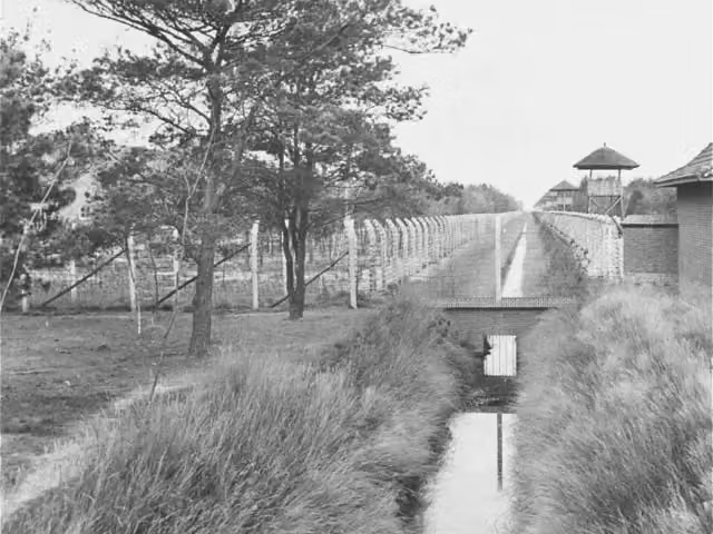 Concentration Camp MuseumMuseum · 9.5 km from the route
- 5
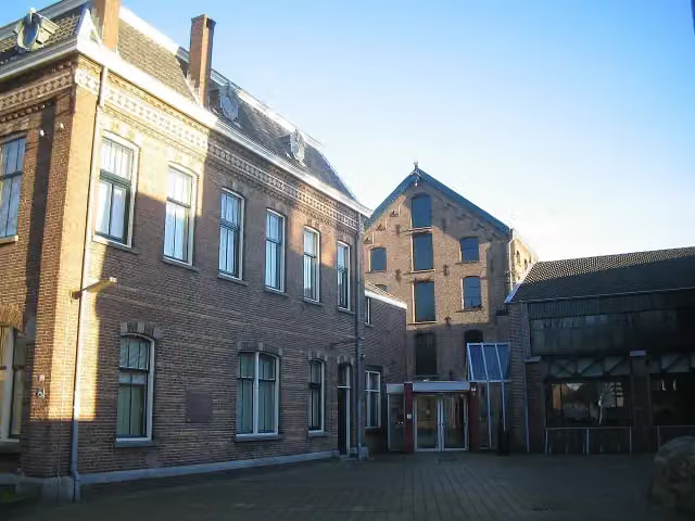 TextielmuseumMuseum · 4.3 km from the route
- 6
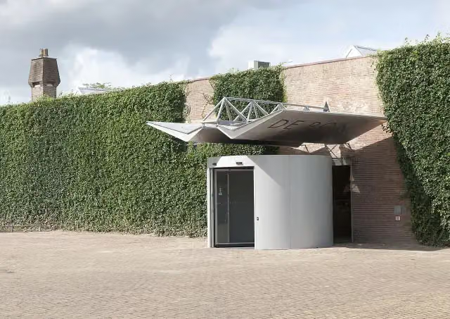 Museum De PontMuseum · 4.5 km from the route
- 7
 Kasteel CroyCastle · 7.3 km from the route
- 8
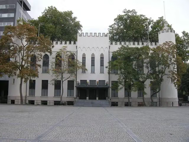 Paleis-RaadhuisCastle · 3.5 km from the route
- 9
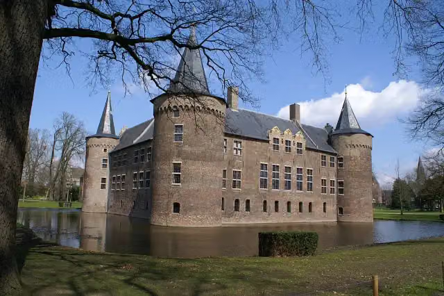 Kasteel van HelmondCastle · 7.9 km from the route
- 10
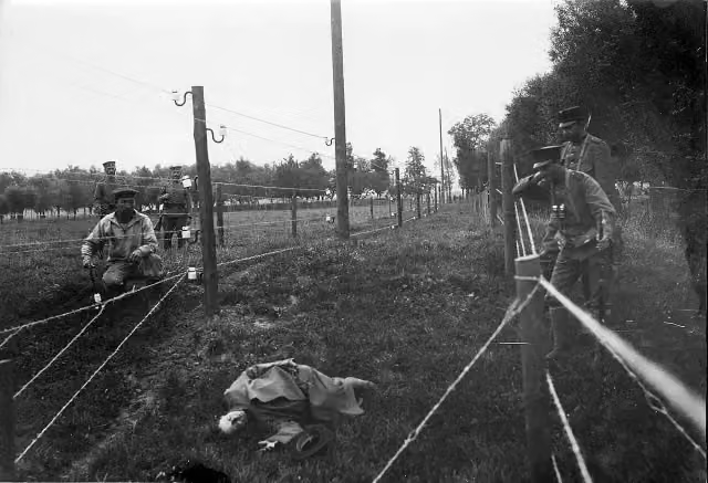 Wire of DeathMemorial · 313 m from the route
- 11
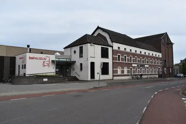 DAF MuseumMuseum · 3 km from the route
- 12
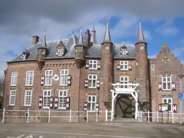 Kasteel MaurickCastle · 7.7 km from the route
- 13
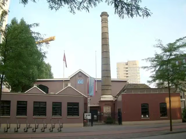 Philips MuseumMuseum · 3.4 km from the route
- 14
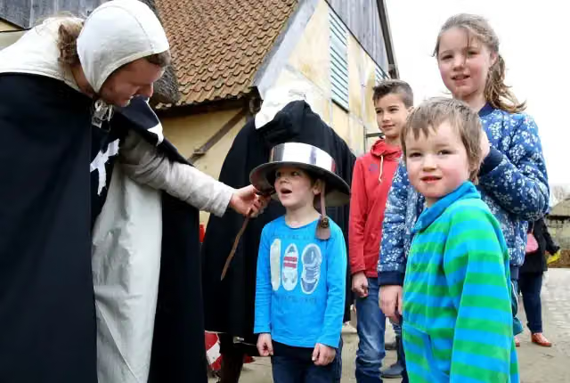 PreHistorisch DorpMuseum · 4.5 km from the route
- 15
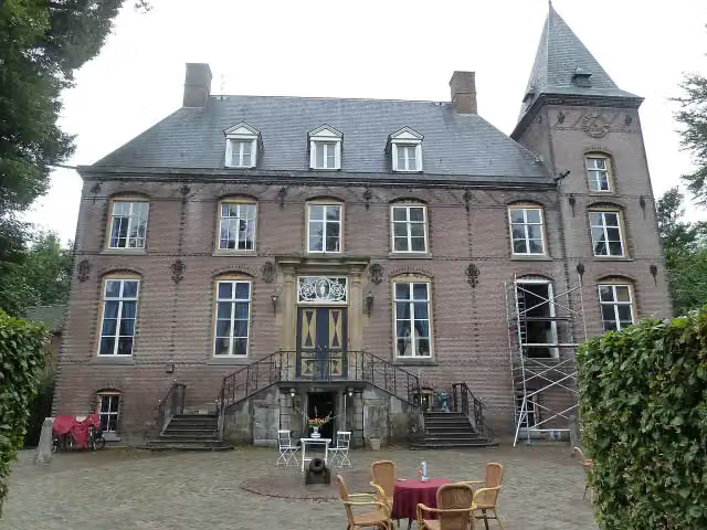 Kasteel NemerlaerCastle · 1.5 km from the route
- 16
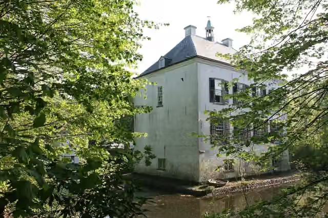 Het Witte KasteelCastle · 8.5 km from the route
- 17
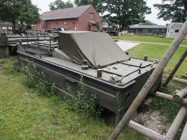 GeniemuseumMuseum · 8.9 km from the route
- 18
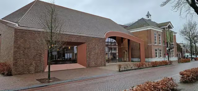 Van Gogh Village MuseumMuseum · 2 km from the route
- 19
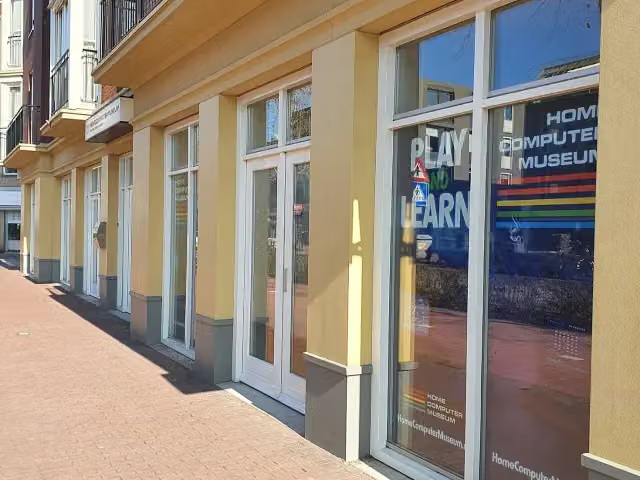 HomeComputerMuseumMuseum · 8.3 km from the route
- 20
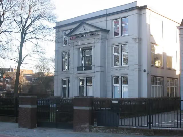 Natuurmuseum BrabantMuseum · 3.9 km from the route
- 21
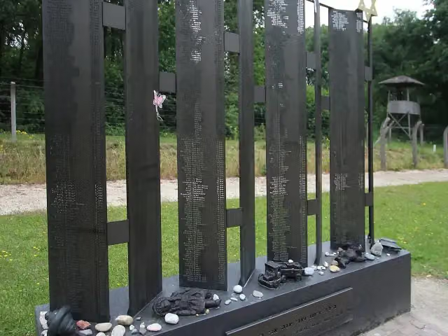 Monument der verloren kinderenMemorial · 9.7 km from the route
- 22
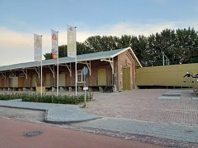 DraaiorgelmuseumMuseum · 8.2 km from the route
- 23
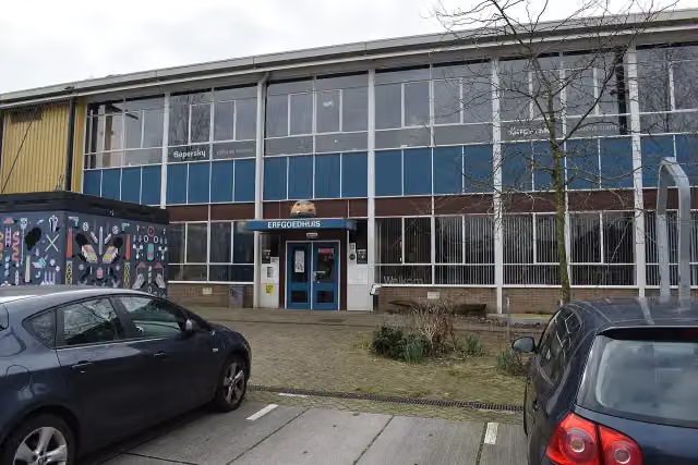 ErfgoedhuisMuseum · 3 km from the route
- 24
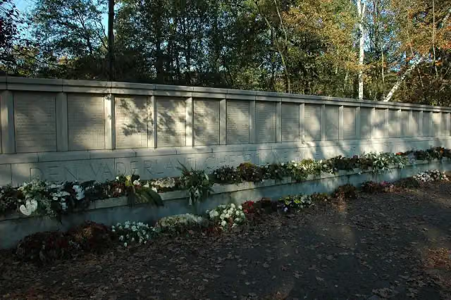 FusilladeplaatsMemorial · 9 km from the route
- 25
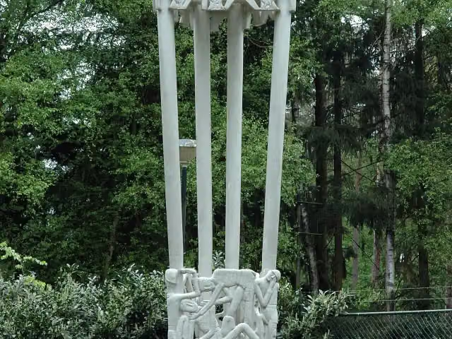 Joe Mann MonumentMemorial · 4.1 km from the route
Explore more
Frequently asked questions
How long is Brabants Vennenpad (Hoofdroute)?
Brabants Vennenpad (Hoofdroute) is 257.7 km long, in 12 stages of 21.5 km on average. Allow ± 4:45 h per stage of walking: 4.5 km an hour and 10 minutes more per 100 metres of climbing, without breaks.
Is this route a circular walk?
Yes, the route starts and ends at the same spot.
Where does this route start?
The route starts in Boxtel.
How hard is this route?
Hard per stage, with 4 m per stage of climbing.
Are there toilets along this route?
Yes, there are 1 public toilet within 100 m of the route.
Can you fill up with water along this route?
Yes, there are 6 water fountains and refill points within 100 m of the route.
What is there to see along this route?
Along the way you pass Uitkijktoren Tour de Frans, Kasteel Stapelen and Pieter Bruegelmonument.
Starting point
More routes from this place
Route data © OpenStreetMap contributors





