 Outdoor Pitstop
Walking route · Maaseik · Updated on 6 November 2026
RVN 5 - Pe 2 - 08 - Roosteren-Thorn walk
RVN 5 - Pe 2 - 08 - Roosteren-Thorn is a walk of 7.2 km from Maaseik. Along the way you'll find 37 benches and picnic tables.
i
The route step by step
From start to finish, with what you pass along the way and the distance in between.
- 7.2 km
- ± 1:35 h
- Easy
- From A to B
- International route
This route is in pieces in OpenStreetMap, so there are no kilometres per pitstop. Along the way you'll find 37 benches and picnic tables.
Follow these steps in the appNo public toilet along the wayThere is no public toilet within 100 m of the route. Go before you start, or find one a bit further away in the app.
The route with the pitstops and sights within 100 m of it.
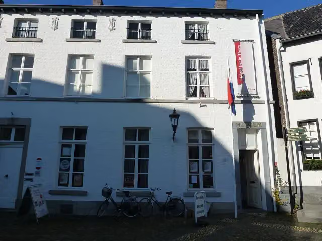
1 sight along the way
In the order you pass them. With the Outdoor Pitstop app you hear their story on the spot.
i
Photo: Rosemoon · Wikimedia Commons · CC BY-SA 3.0View the photo on Wikimedia CommonsMuseum
Elevation and terrain
Way types
7.2 km in total- Road: 4 km
- Track: 1.3 km
- Street: 1.1 km
- Cycleway: 450 m
- Footpath: 225 m
- Stairs: 1 flight of stairs
- Unknown: 125 m
Surfaces
7.2 km in total- Asphalt: 3.6 km
- Natural: 1.3 km
- Paved: 512 m
- Unknown: 1.8 km
About the walking route RVN 5 - Pe 2 - 08 - Roosteren-Thorn
Updated on 6 November 2026, with data from OpenStreetMap and the AHN.
Where do you walk?
RVN 5 - Pe 2 - 08 - Roosteren-Thorn is a walking route of 7.2 km that starts in Maaseik. It does not end where it starts. You start in Roosteren and finish in Thorn.
How hard is the route?
There is 1 flight of steps along the way. Allow ± 1:35 h, without breaks. The level is easy.
What paths do you walk on?
The longest part is road (4 km), track (1.3 km) and street (1.1 km). Of the surface, 3.6 km asphalt and 1.3 km natural. For 1.8 km the surface is not known.
Pitstops along the way
Within 100 metres of the route there are 37 benches and picnic tables. There is no public toilet within 100 metres of the route. The Outdoor Pitstop app navigates you there.
Part of Ronde van Nederland deel 5 - Pelgrimspad (Tour of the Netherlands part 5 - Pilgrim Trail)
Walks nearby
6- Pelgrimspad 2 - 8Moderate · From A to B16.5 km
- Rivierpark Maasvallei LangeafstandswandelingHard · From A to B107.8 km
- Via LimburgicaEasy · From A to B4.2 km
- Jakobs-Pilgerweg Nijmegen-Maastricht-LüttichHard · From A to B143.1 km
- Pelgrimspad 2 - 9Moderate · From A to B17.7 km
- RVN 5 - Pe 2 - 09 Sittard station-RoosterenModerate · From A to B18.1 km
Sights nearby
Within 10 km of the route, best known first.
- 1
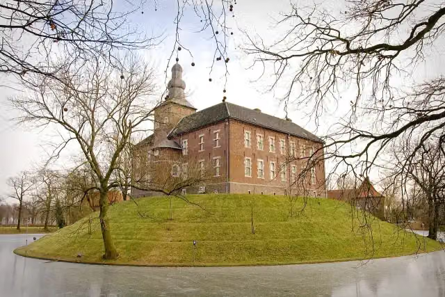 Kasteel LimbrichtCastle · 7.6 km from the route
- 2
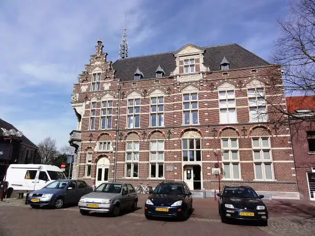 Museum van de VrouwMuseum · 4 km from the route
- 3
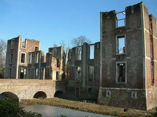 Kasteel BornAttraction · 5.7 km from the route
- 4
 Kasteel MillenCastle · 7.9 km from the route
- 5
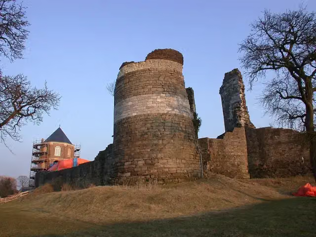 Kasteelruïne MontfortRuins · 8 km from the route
- 6
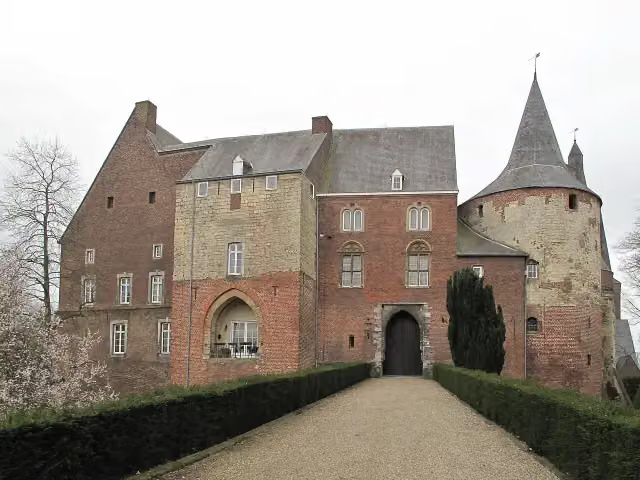 Kasteel HornCastle · 9.3 km from the route
- 7
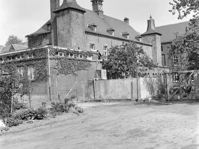 Kasteel ExatenCastle · 7.2 km from the route
- 8
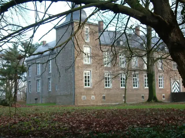 Kasteel WolfrathCastle · 4.3 km from the route
- 9
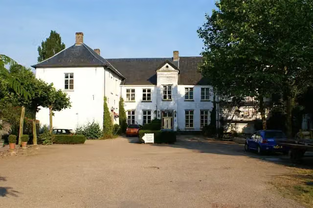 Kasteel BaexemCastle · 7 km from the route
- 10
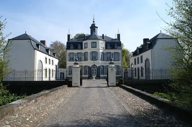 Kasteel ObbichtCastle · 7.1 km from the route
- 11
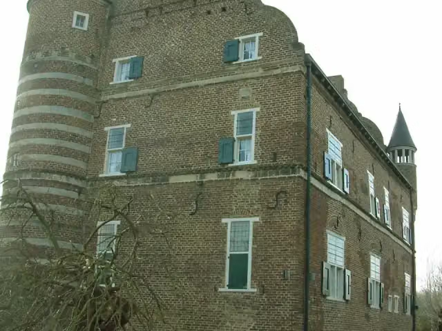 Kasteel GrasbroekCastle · 6.7 km from the route
- 12
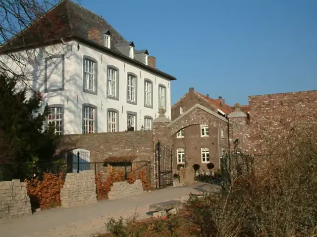 Huize WithamCastle · 6.2 km from the route
- 13
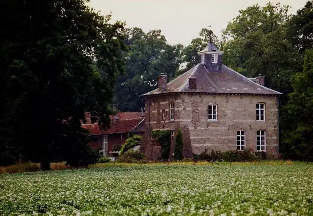 Huis NederhovenCastle · 5 km from the route
- 14
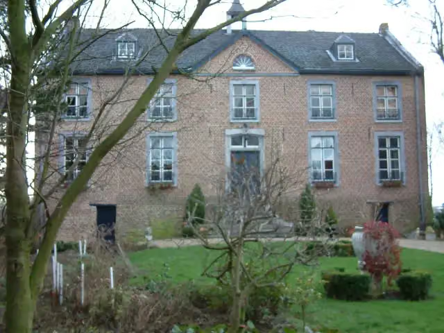 Huize HoltumCastle · 3.6 km from the route
- 15
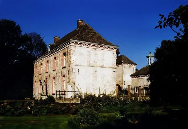 Kasteel Ten HoveCastle · 3.6 km from the route
- 16
 Museum "Terug in de Tijd"Museum · 7.9 km from the route
- 17
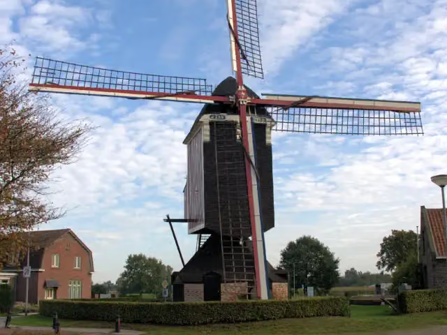 Sint-JanAttraction · 8.3 km from the route
- 18
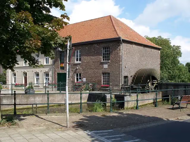 GrathemermolenMuseum · 3.5 km from the route
- 19
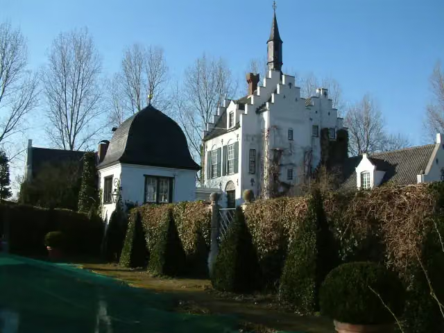 Groot BuggenumCastle · 3.1 km from the route
- 20
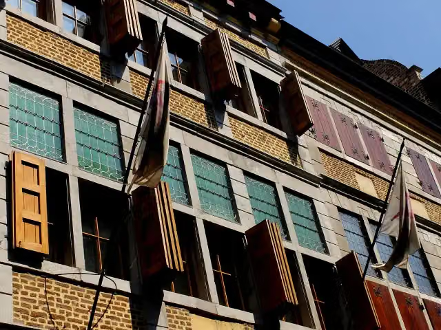 ApotheekmuseumMuseum · 390 m from the route
- 21
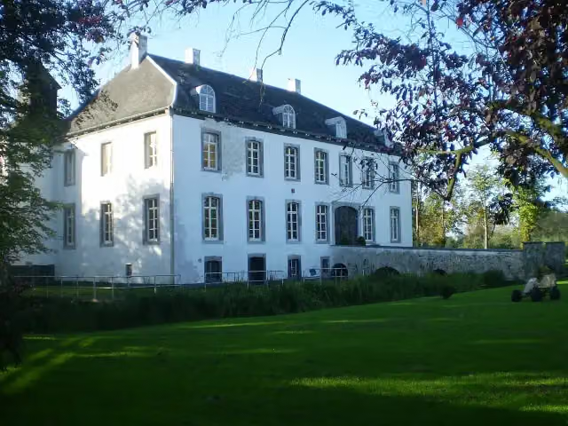 Kasteel BorgitterCastle · 1.8 km from the route
- 22
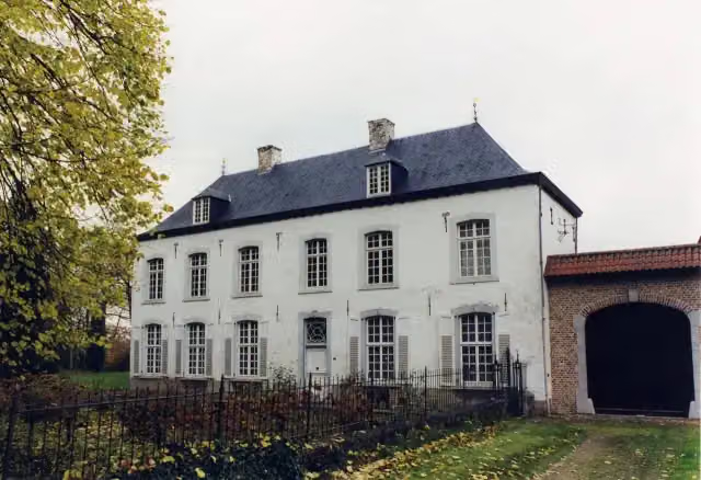 NieuwenhofCastle · 2.8 km from the route
- 23
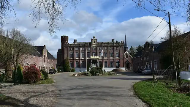 Kasteel SipernauCastle · 4.1 km from the route
- 24
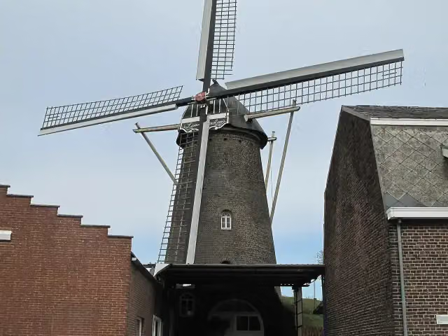 LemmensmolenAttraction · 5 km from the route
- 25
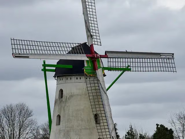 KeijersmolenAttraction · 6.4 km from the route
Explore more
Frequently asked questions
How long is RVN 5 - Pe 2 - 08 - Roosteren-Thorn?
RVN 5 - Pe 2 - 08 - Roosteren-Thorn is 7.2 km long. Allow ± 1:35 h of walking: 4.5 km an hour and 10 minutes more per 100 metres of climbing, without breaks.
Is this route a circular walk?
No, the route runs from Roosteren to Thorn.
Where does this route start?
The route starts in Maaseik.
How hard is this route?
Easy.
Are there toilets along this route?
No, there is no public toilet within 100 m of the route. Go before you start.
Can you fill up with water along this route?
No, there is no water point within 100 m of the route. Bring enough water.
What is there to see along this route?
Along the way you pass Museum Thorn.
Starting point
More routes from this place
Route data © OpenStreetMap contributors





