 Outdoor Pitstop
Walking route · Amersfoort · Westerbork Trail - 9 · Updated on 5 November 2026
Westerborkpad - 9 walk
Westerborkpad - 9 is a walk of 12.7 km from Amersfoort. Along the way you'll find 43 benches and picnic tables, 2 water fountains and refill points and 2 public toilets.
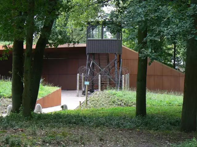
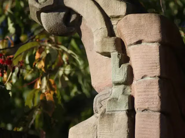
i
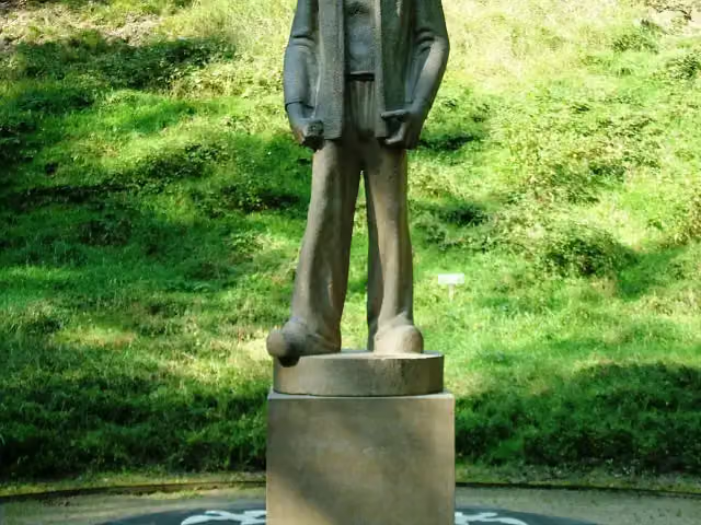
i
The route step by step
From start to finish, with what you pass along the way and the distance in between.
- 12.7 km
- ± 2:50 h
- ↑ 33 m · ↓ 43 m
- Moderate
- From A to B
- National route
Start in Amersfoort
0 kmAt the start: public toilet and 2 water fountains and refill points.
634 m · 2 benches

Memorial
2.9 km · 2 benches
De Stenen Man
3.6 kmMemorial
204 m · 2 benches
Het Lijkenhuisje and 1 more
3.8 kmSchuilplaatsverlenersmonument
175 m · bench
Museum
1.4 km · 2 benches
Sovjet Ereveld
5.4 kmMemorial
3.7 km · 4 benches
Amersfoortse Kei
9.1 kmMemorial
213 m · 2 benches
Onze Lieve Vrouwetoren
9.3 kmAttraction · Audio story · 2 min
305 m
Mondriaanhuis
9.6 kmMuseum · Audio story · 2 min
176 m · bench
Public toilet
9.8 km336 m · 9 benches
Museum Amersfoort
10.2 kmMuseum · Audio story · 2 min
2.5 km · 11 benches
Finish
12.7 km
Longest stretch without a toilet: 9.8 kmBetween 0 km and 9.8 km there is no public toilet within 100 m of the route.
The route with the pitstops and sights within 100 m of it.
10 sights along the way
In the order you pass them. With the Outdoor Pitstop app you hear their story on the spot. 2 more along the route are on the map.
Herdenkingsbank Christine de Bosch Kemper
Memorial · after 634 m
i
Photo: Chantale · Wikimedia Commons · CC BY-SA 3.0 nlView the photo on Wikimedia CommonsMemorial · after 3.6 km
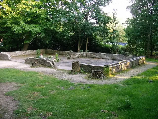
i
Photo: P.J.L Laurens · Wikimedia Commons · CC BY 2.5View the photo on Wikimedia CommonsRuins · after 3.8 km

Memorial · after 3.8 km
- Story
Nationaal Monument Kamp Amersfoort
Museum · after 3.9 km
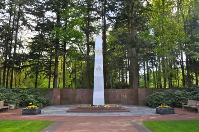 Story
i
Photo: FaceMePLS from The Hague, The Netherlands · Wikimedia Commons · CC BY 2.0View the photo on Wikimedia CommonsSovjet Ereveld
Memorial · after 5.4 km
Amersfoortse Kei
Memorial · after 9.1 km
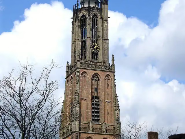 Audio story · 2 min
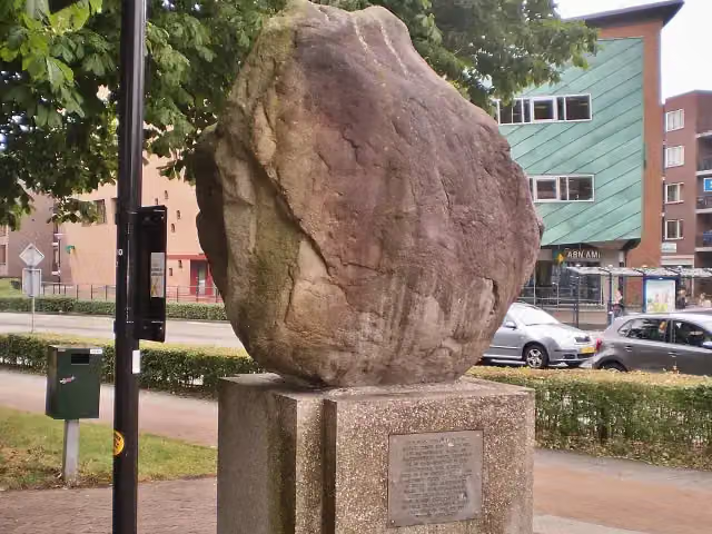
Onze Lieve Vrouwetoren
Attraction · after 9.3 km
Elevation and terrain
- Up
- ↑ 33 m
- Down
- ↓ 43 m
- Highest point
- 40 m
- Lowest point
- 1 m
- 1 flight of stairs
Elevation from AHN (Rijkswaterstaat), smoothed.
Way types
12.7 km in total- Cycleway: 5.5 km
- Road: 2.4 km
- Street: 2.2 km
- Footpath: 1.8 km
- Track: 725 m
- Stairs: 1 flight of stairs
Surfaces
12.7 km in total- Asphalt: 5.2 km
- Paved: 3.3 km
- Gravel: 950 m
- Unpaved: 850 m
- Unknown: 2.3 km
About the walking route Westerborkpad - 9
Updated on 5 November 2026, with data from OpenStreetMap and the AHN.
Where do you walk?
Westerborkpad - 9 is a walking route of 12.7 km that starts in Amersfoort. It does not end where it starts. You start in Amersfoort and finish in Schothorst. Along the way you pass Herdenkingsbank Christine de Bosch Kemper (after 634 m), De Stenen Man (after 3.6 km) and Het Lijkenhuisje (after 3.8 km).
How hard is the route?
You climb 33 m in total and descend 43 m. There is 1 flight of steps along the way. Allow ± 2:50 h, without breaks. The level is moderate.
What paths do you walk on?
The longest part is cycleway (5.5 km), road (2.4 km) and street (2.2 km). Of the surface, 5.2 km asphalt and 3.3 km paved. For 2.3 km the surface is not known.
Pitstops along the way
Within 100 metres of the route there are 43 benches and picnic tables, 2 water fountains and refill points and 2 public toilets. You can fill your bottle at the start. The longest stretch without a toilet is 9.8 km. The Outdoor Pitstop app navigates you there.
Part of Westerborkpad (hoofdroute) (Westerbork Trail (main route))
Website of the routeWalks nearby
6Sights nearby
Within 10 km of the route, best known first.
- 1
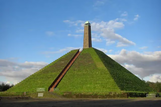 Pyramid of AusterlitzAttraction · 4.9 km from the route
- 2
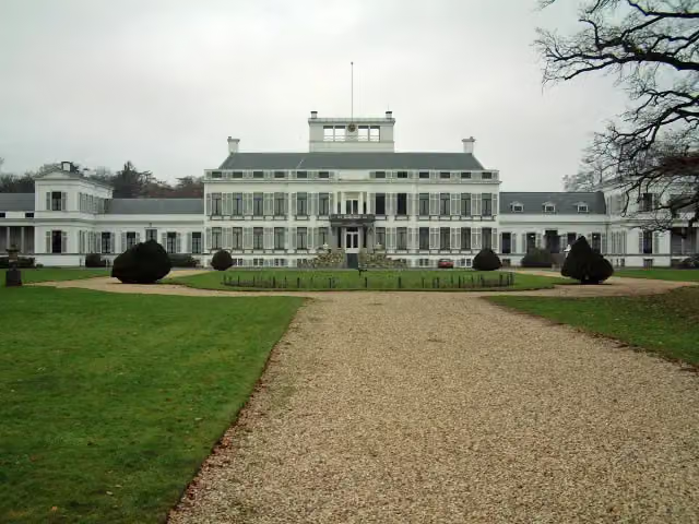 Paleis SoestdijkAttraction · 7.9 km from the route
- 3
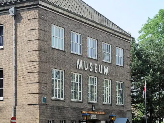 CavaleriemuseumMuseum · 1.3 km from the route
- 4
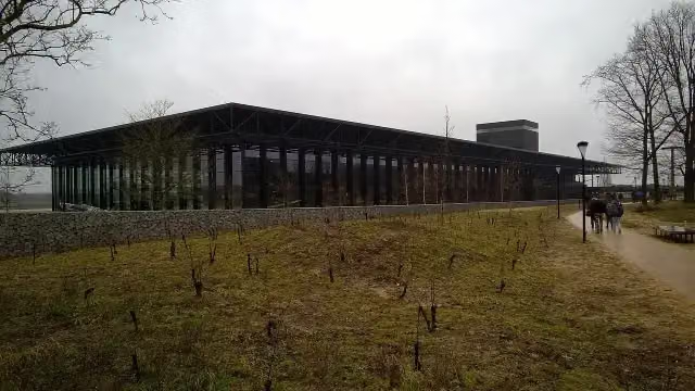 Nationaal Militair MuseumMuseum · 5.7 km from the route
- 5
 MusiomMuseum · 246 m from the route
- 6
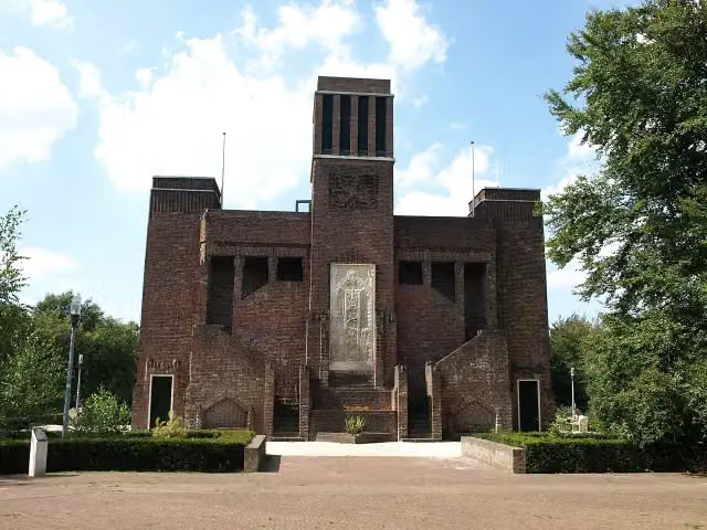 BelgenmonumentMonument · 508 m from the route
- 7
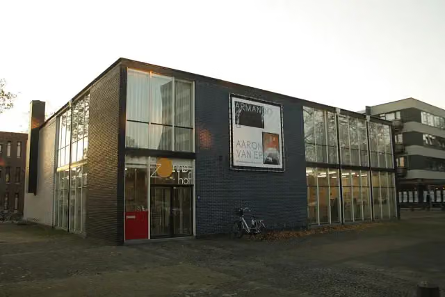 RietveldpaviljoenMuseum · 119 m from the route
- 8
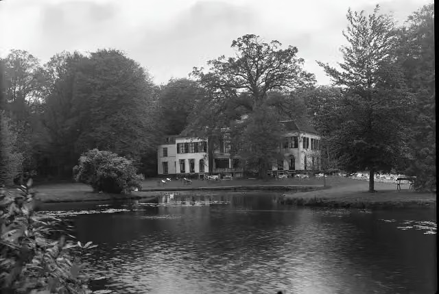 Huize Den TreekCastle · 2.9 km from the route
- 9
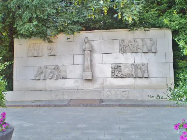 Verzetsmonument SoestMemorial · 6.9 km from the route
- 10
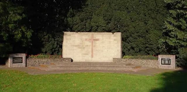 BevrijdingsmonumentMemorial · 8.8 km from the route
- 11
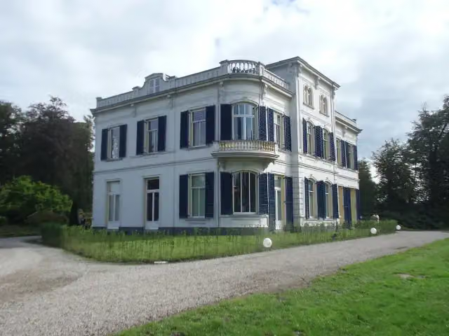 De BoomCastle · 4.1 km from the route
- 12
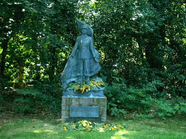 De MarinierMemorial · 9 km from the route
- 13
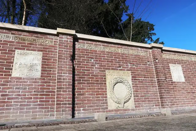 Fusillade AppelwegMemorial · 208 m from the route
- 14
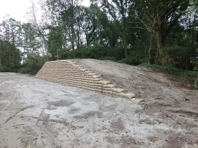 Voorwerk op de AsschatterkeerkadeFort · 5.2 km from the route
- 15
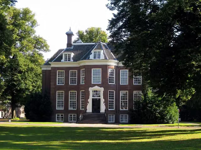 ZandbergenCastle · 7.5 km from the route
- 16
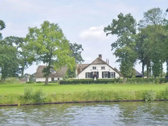 Werk bij KrachtwijkFort · 4.8 km from the route
- 17
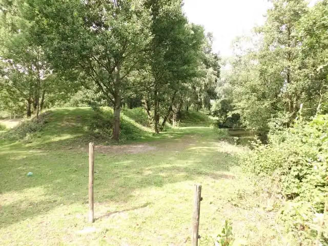 Werk aan de GlashutFort · 1.3 km from the route
- 18
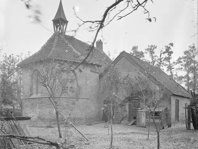 Terrein met overblijfselen van het versterkte huis Van IsseltArchaeological site · 1.9 km from the route
- 19
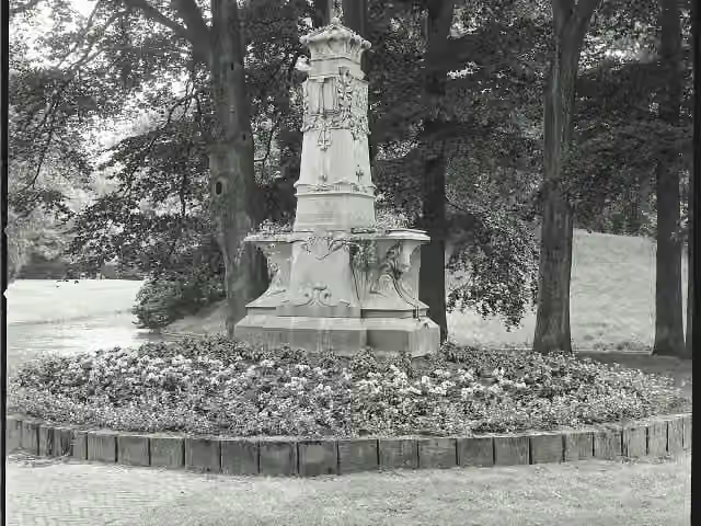 MemorialMemorial · 9.4 km from the route
- 20
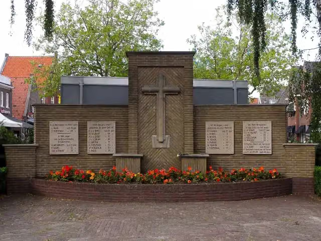 Spakenburgs OorlogsmonumentMemorial · 9 km from the route
- 21
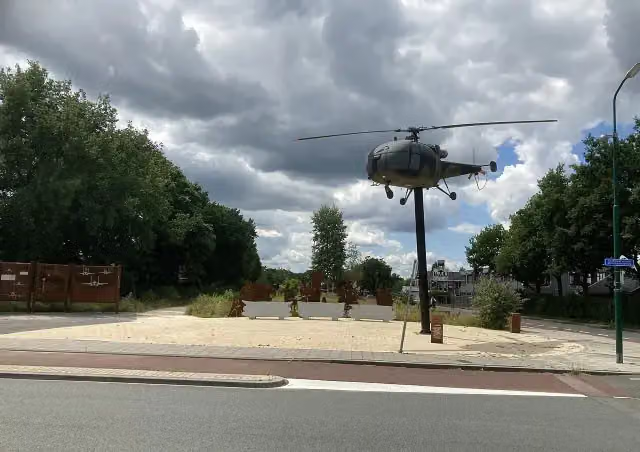 Soesterberg Air force MemorialMemorial · 5.4 km from the route
- 22
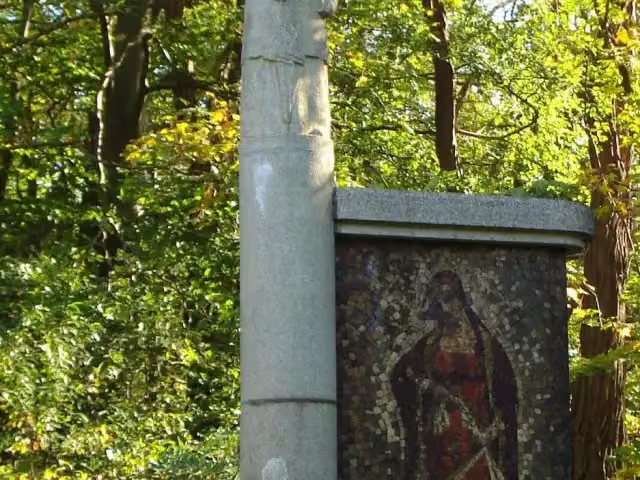 Koningin Emma-MonumentMemorial · 9.4 km from the route
- 23
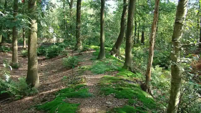 Appelse walburgArchaeological site · 9.5 km from the route
- 24
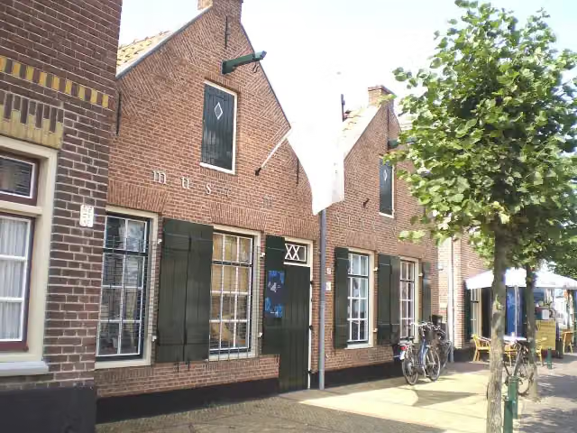 Museum SpakenburgMuseum · 9.2 km from the route
- 25
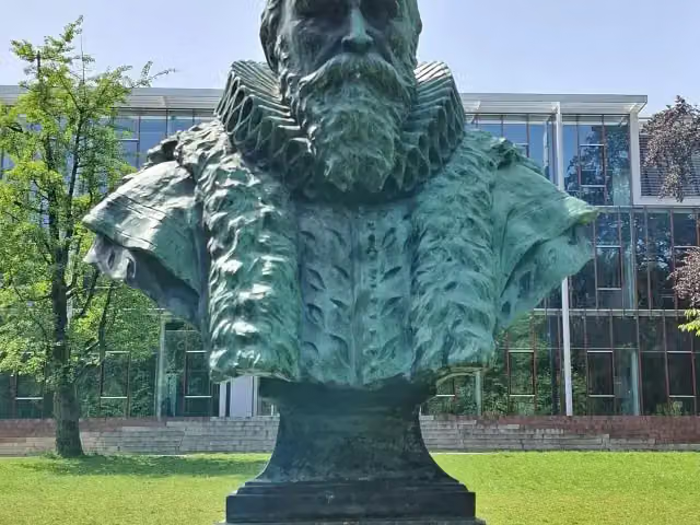 Borstbeeld van Johan van OldenbarneveltMemorial · 359 m from the route
Explore more
More walks around Amersfoort
Frequently asked questions
How long is Westerborkpad - 9?
Westerborkpad - 9 is 12.7 km long. Allow ± 2:50 h of walking: 4.5 km an hour and 10 minutes more per 100 metres of climbing, without breaks.
Is this route a circular walk?
No, the route runs from Amersfoort to Schothorst.
Where does this route start?
The route starts in Amersfoort.
How hard is this route?
Moderate, with 33 m of climbing.
Are there toilets along this route?
Yes, there are 2 public toilets within 100 m of the route. The longest stretch without a toilet is 9.8 km.
Can you fill up with water along this route?
Yes, there are 2 water fountains and refill points within 100 m of the route.
What is there to see along this route?
Along the way you pass Herdenkingsbank Christine de Bosch Kemper, De Stenen Man and Het Lijkenhuisje.
Starting point
More routes from this place
Route data © OpenStreetMap contributors





