 Outdoor Pitstop
Walking route · Marsberg · Updated on 14 November 2026
Hessenweg 4 walk
Hessenweg 4 is a walk of 405.7 km from Marsberg. Along the way you'll find 1,313 benches, 21 water fountains and refill points, 57 public toilets and 12 bike pumps.

i
i

i
The route step by step
From start to finish, with what you pass along the way and the distance in between.
- 405.7 km
- ± 10:00 h per stage
- ↑ 5,997 m · ↓ 6,106 m
- Hard per stage
- From A to B
- National route
Pick a stage to see the pitstops per kilometre. Along the way you'll find 1,313 benches, 21 water fountains and refill points, 57 public toilets and 12 bike pumps.
Follow these steps in the appThe route with the water points, toilets and sights within 100 m of it.
43 sights along the way
In the order you pass them. With the Outdoor Pitstop app you hear their story on the spot. 35 more along the route are on the map.

Museum
Museum
Ruins
Observation tower
Observation tower
i
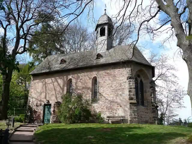
Photo: Heinrich Stürzl · Wikimedia Commons · CC BY-SA 3.0View the photo on Wikimedia CommonsAttraction
elisabeth church
Attraction
Museum
Stages (10)
- 1Hessenweg 4 (Teilstrecke Marsberg - Edersee)55.2 km
- 2Hessenweg 4 (Teilstrecke Edersee - Wetter)77.4 km
- 3Hessenweg 4 (Teilstrecke Wetter - Marburg)19.2 km
- 4Hessenweg 4 (Teilstrecke Marburg - Grünberg)37.2 km
- 5Hessenweg 4 (Teilstrecke Grünberg - Bad Nauheim)43.9 km
- 6H444.2 km
- 7Hessenweg 4 (Teilstrecke Oberursel-Weißkirchen - Frankfurt-Süd)18.5 km
- 8Hessenweg 4 (Teilstrecke Frankfurt-Süd - Ober-Ramstadt)41 km
- 9Hessenweg 4 (Teilstrecke Ober-Ramstadt - Fürth)31.9 km
- 10Hessenweg 4 (Teilstrecke Fürth - Neckarsteinach)37.3 km
Elevation and terrain
- Up
- ↑ 5,997 m
- Down
- ↓ 6,106 m
- Highest point
- 658 m
- Lowest point
- 94 m
- 5-10% slope · 74.5 km
- 10-15% slope · 10.2 km
- 15-20% slope · 695 m
- 20% slope or steeper · 499 m
- 25 stairs
Elevation from Copernicus GLO-30 (European Union and ESA), smoothed.
produced using Copernicus WorldDEM-30 © DLR e.V. 2010-2014 and © Airbus Defence and Space GmbH 2014-2018 provided under COPERNICUS by the European Union and ESA; all rights reserved
Way types
405.7 km in total- Track: 259.4 km
- Street: 60.3 km
- Path: 39.6 km
- Road: 21.2 km
- Footpath: 13 km
- Busy road: 9.2 km
- Stairs: 25 stairs
- Cycleway: 650 m
Surfaces
405.7 km in total- Gravel: 135.1 km
- Asphalt: 131.5 km
- Unpaved: 40.5 km
- Paved: 19.3 km
- Natural: 11.5 km
- Unknown: 66.6 km
About the walking route Hessenweg 4
Updated on 14 November 2026, with data from OpenStreetMap, the AHN and Copernicus.
Where do you walk?
Hessenweg 4 is a walking route of 405.7 km that starts in Marsberg. It does not end where it starts. You start in Marsberg and finish in Neckarsteinach.
How hard is the route?
You climb 5,997 m in total and descend 6,106 m. There are 25 flights of steps along the way. Allow ± 10:00 h per stage, without breaks. Per stage the level is hard.
What paths do you walk on?
The longest part is track (259.4 km), street (60.3 km) and path (39.6 km). Of the surface, 135.1 km gravel and 131.5 km asphalt. For 66.6 km the surface is not known.
Pitstops along the way
Within 100 metres of the route there are 1,313 benches, 21 water fountains and refill points, 57 public toilets and 12 bike pumps. The Outdoor Pitstop app navigates you there.
Walks nearby
6- European Long distance path E1 - part Germany, Nordrhein-Westfalen (south)Hard · From A to B167.3 km
- Jakobs-Pilgerweg Paderborn-KölnHard · From A to B241.3 km
- X16 Kaiser-Otto-WegHard · From A to B42.3 km
- Sauerland-Waldroute (Südroute Marsberg - Warstein)Hard · From A to B74.8 km
- Hermannshöhen - Etappe 13 von Blankenrode nach MarsbergModerate · From A to B16.7 km
- European Long distance path E1 - part Germany, Nordrhein-Westfalen (North)Hard · From A to B135.3 km
Sights nearby
Within 10 km of the route, best known first.
- 1
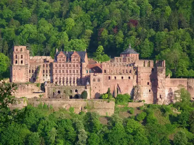 Heidelberg CastleAttraction · 9.1 km from the route
- 2
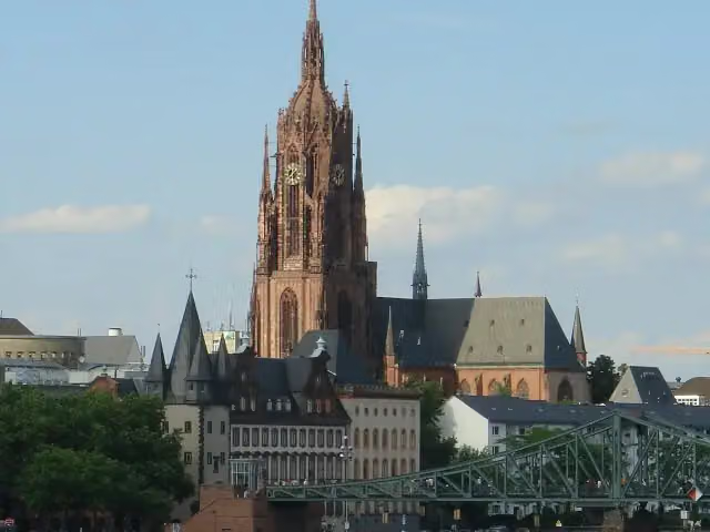 Imperial Cathedral of Saint BartholomewAttraction · 510 m from the route
- 3
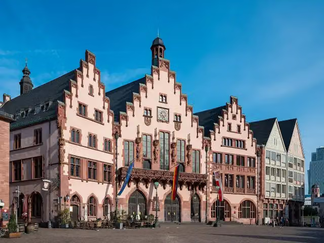 RömerAttraction · 448 m from the route
- 4
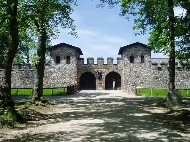 Römerkastell SaalburgMuseum · 109 m from the route
- 5
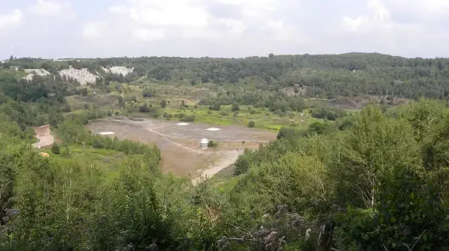 UNESCO Weltnaturerbe Grube MesselAttraction · 864 m from the route
- 6
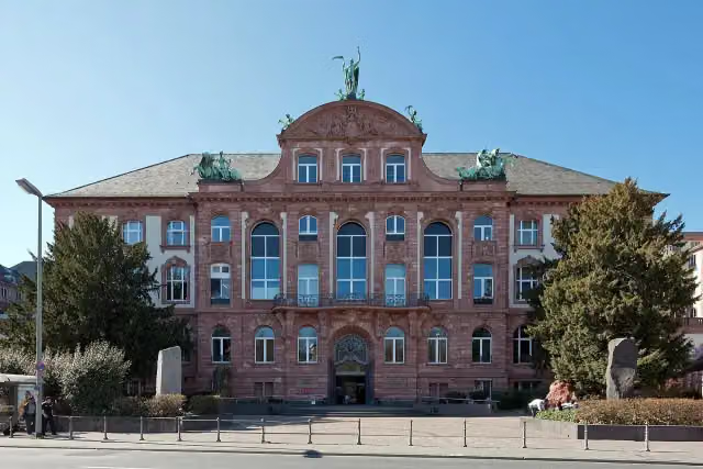 Senckenberg NaturmuseumMuseum · 1.2 km from the route
- 7
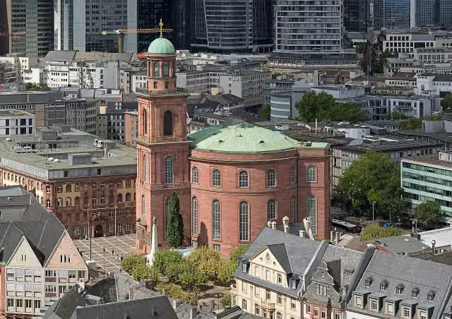 St. Paul's ChurchAttraction · 539 m from the route
- 8
 HauptwacheAttraction · 578 m from the route
- 9
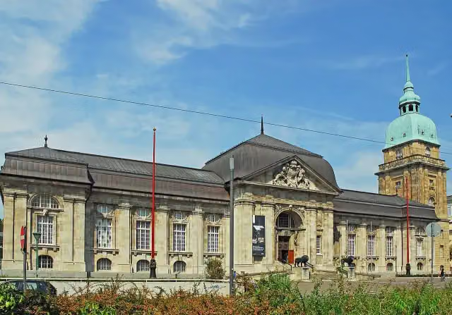 Hessisches LandesmuseumMuseum · 4.6 km from the route
- 10
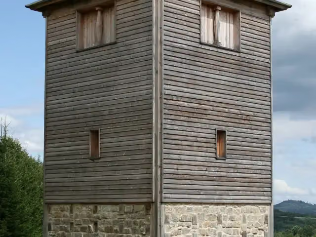 Römischer LimesAttraction · 206 m from the route
- 11
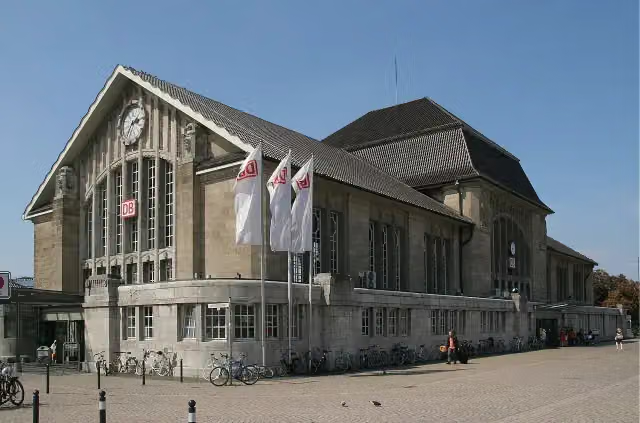 Darmstadt HauptbahnhofAttraction · 6.2 km from the route
- 12
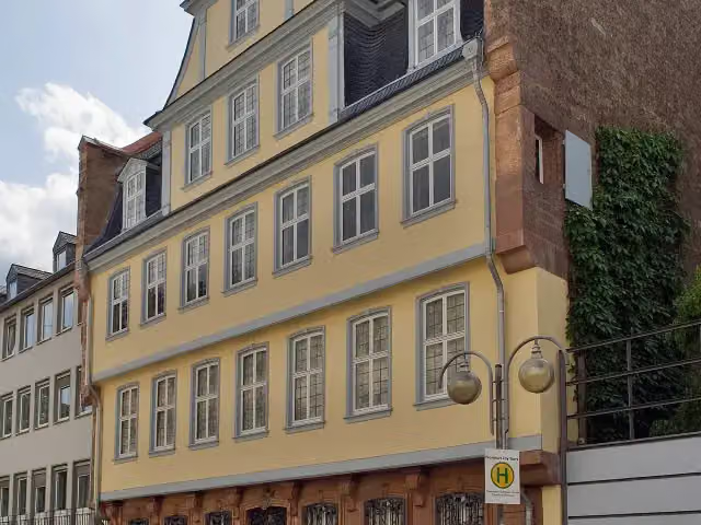 Goethe HouseAttraction · 431 m from the route
- 13
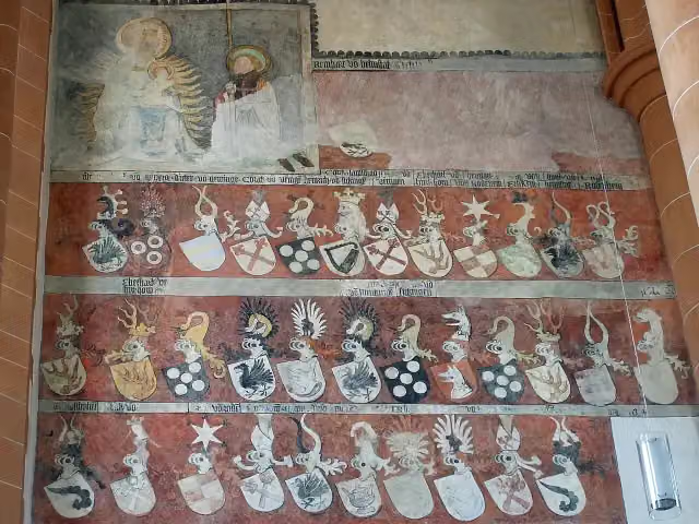 Church of the Holy SpiritAttraction · 9.5 km from the route
- 14
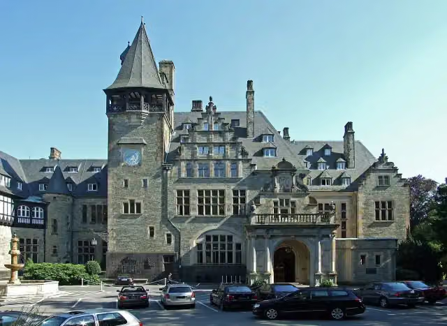 Schloss FriedrichshofCastle · 1.8 km from the route
- 15
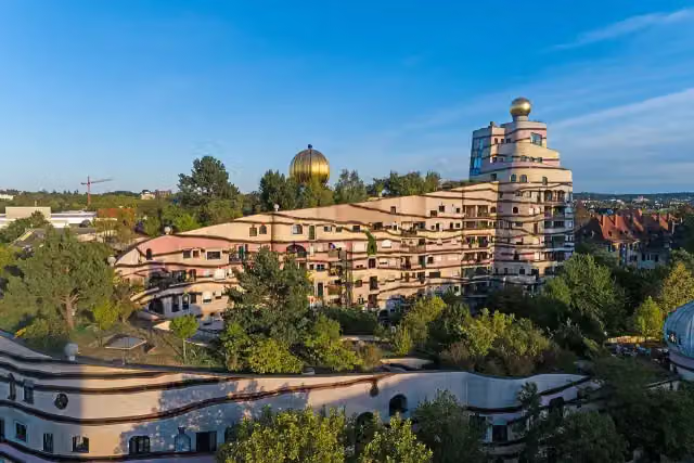 WaldspiraleAttraction · 4.3 km from the route
- 16
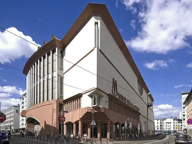 Museum MMKMuseum · 642 m from the route
- 17
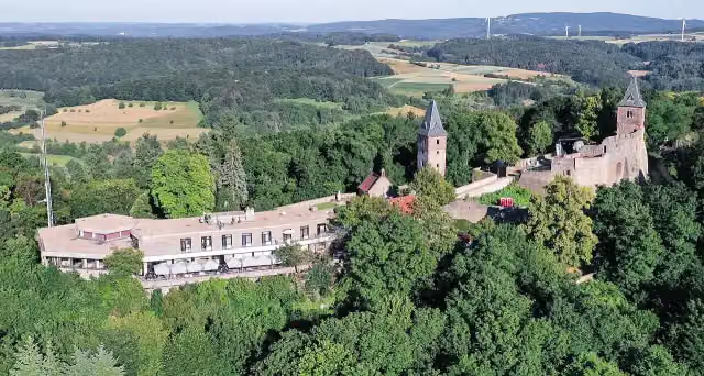 Burg FrankensteinAttraction · 6.5 km from the route
- 18
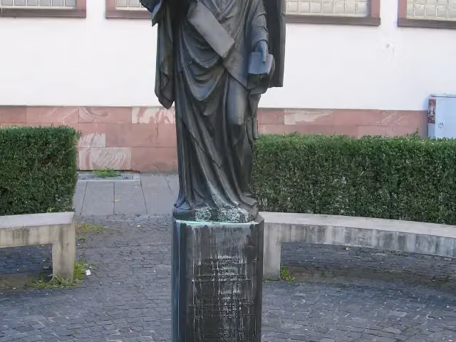 Frankfurter EngelMemorial · 978 m from the route
- 19
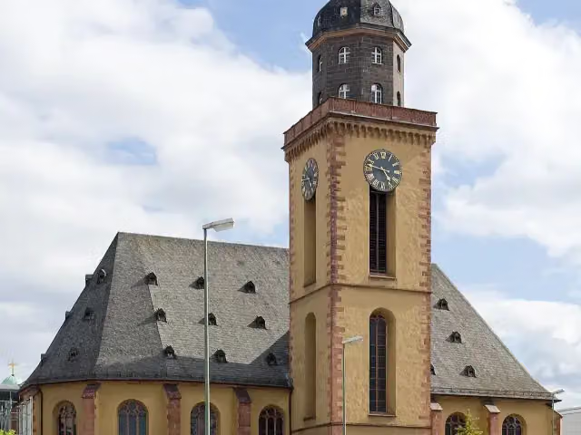 St. Catherine's ChurchAttraction · 635 m from the route
- 20
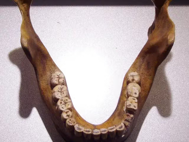 Fundstelle Homo heidelbergensisArchaeological site · 7 km from the route
- 21
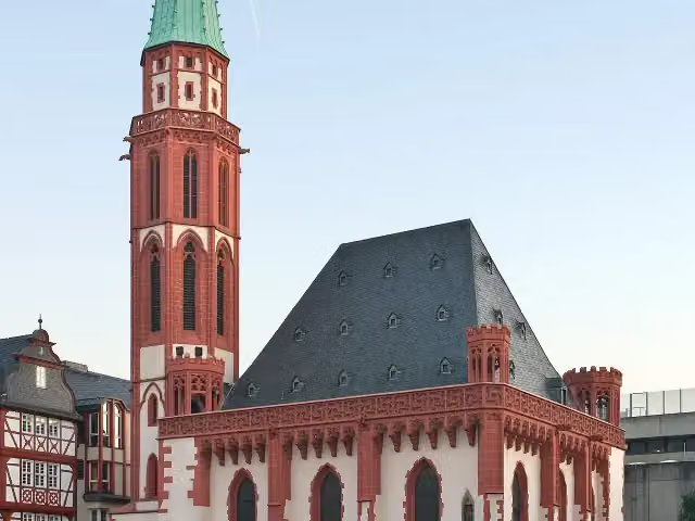 Old St. Nicholas ChurchAttraction · 390 m from the route
- 22
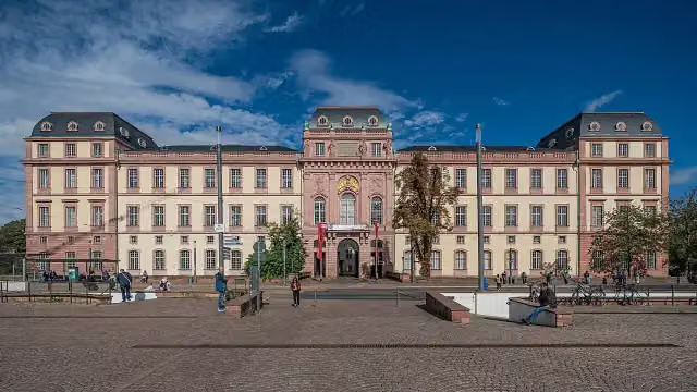 Residential Palace DarmstadtAttraction · 4.5 km from the route
- 23
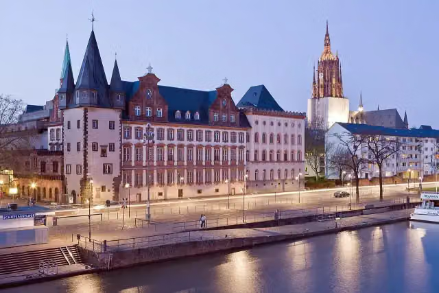 Historical Museum FrankfurtMuseum · 348 m from the route
- 24
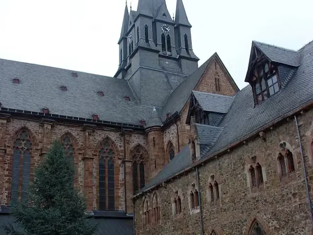 Kloster HainaAttraction · 103 m from the route
- 25
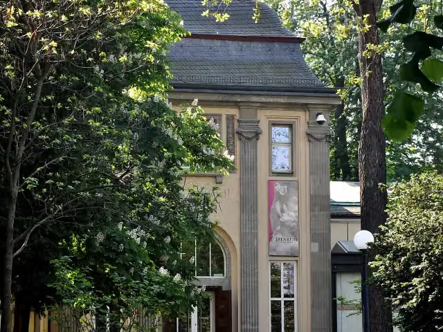 Liebieghaus SkulpturensammlungMuseum · 179 m from the route
Explore more
Frequently asked questions
How long is Hessenweg 4?
Hessenweg 4 is 405.7 km long, in 10 parts of 40.6 km on average. Allow ± 10:00 h per part of walking: 4.5 km an hour and 10 minutes more per 100 metres of climbing, without breaks.
Is this route a circular walk?
No, the route runs from Marsberg to Neckarsteinach.
Where does this route start?
The route starts in Marsberg.
How hard is this route?
Hard per stage, with 600 m per stage of climbing.
Are there toilets along this route?
Yes, there are 57 public toilets within 100 m of the route.
Can you fill up with water along this route?
Yes, there are 21 water fountains and refill points within 100 m of the route.
What is there to see along this route?
Along the way you pass Waldecker Spielzeugmuseum, Ausstellung der Arolsen Archives and Jägersburg.
Can I download this route as a GPX file?
Yes. Sign in with your Outdoor Pitstop account and choose Download GPX at the top of this page: 10 routes a month for free, unlimited with Pro.
Starting point
More routes from this place
Route data © OpenStreetMap contributors





