 Outdoor Pitstop
Walking route · Brunssum · Schutterspark Springs Route · Updated on 6 November 2026
Schutterspark bronnen route walk
Schutterspark bronnen route is a walk of 3.2 km from Brunssum that starts and ends at the same spot. Along the way you'll find 4 benches and picnic tables.
The route step by step
From start to finish, with what you pass along the way and the distance in between.
- 3.2 km
- ± 45 min
- ↑ 37 m · ↓ 38 m
- Easy
- Circular walk
- Local route
Start in Brunssum
0 km3.2 km · 4 benches
Back at the start
3.2 km
No public toilet along the wayThere is no public toilet within 100 m of the route. Go before you start, or find one a bit further away in the app.
The route with the pitstops and sights within 100 m of it.
Elevation and terrain
- Up
- ↑ 37 m
- Down
- ↓ 38 m
- Highest point
- 97 m
- Lowest point
- 67 m
- 5-10% slope · 504 m
Elevation from AHN (Rijkswaterstaat), smoothed.
Way types
3.2 km in total- Footpath: 1.5 km
- Cycleway: 975 m
- Track: 525 m
- Path: 225 m
- Road: 25 m
Surfaces
3.2 km in total- Paved: 675 m
- Asphalt: 275 m
- Gravel: 175 m
- Natural: 175 m
- Unknown: 1.9 km
About the walking route Schutterspark bronnen route
Updated on 6 November 2026, with data from OpenStreetMap and the AHN.
Where do you walk?
Schutterspark bronnen route is a circular walk of 3.2 km from Brunssum: it starts and ends in the same place.
How hard is the route?
You climb 37 m in total and descend 38 m. Allow ± 45 min, without breaks. The level is easy.
What paths do you walk on?
The longest part is footpath (1.5 km), cycleway (975 m) and track (525 m). Of the surface, 675 m paved and 275 m asphalt. For 1.9 km the surface is not known.
Pitstops along the way
Within 100 metres of the route there are 4 benches and picnic tables. There is no public toilet within 100 metres of the route. The Outdoor Pitstop app navigates you there.
Walks nearby
6- Schutterspark Minder valide routeEasy · Circular walk1.7 km
- Schutterspark vijver routeEasy · Circular walk4.3 km
- Onderbanken RR03 bruine routeEasy · Circular walk8.9 km
- Brunssummer Heide NM6 Lichtgroene routeEasy · Circular walk4.7 km
- Schinnen SC02 Graaf Lambert routeModerate · Circular walk11.1 km
- Onderbanken RR05 Gele RouteEasy · Circular walk9.3 km
Sights nearby
Within 10 km of the route, best known first.
- 1
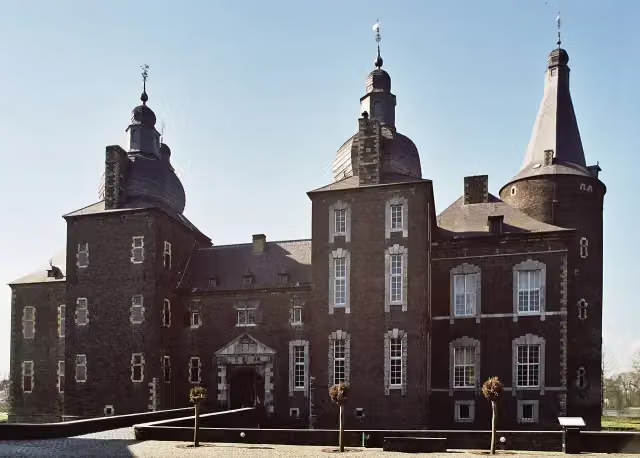 Hoensbroek CastleCastle · 5.8 km from the route
- 2
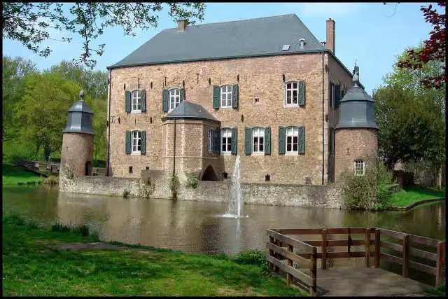 Kasteel ErensteinCastle · 9.1 km from the route
- 3
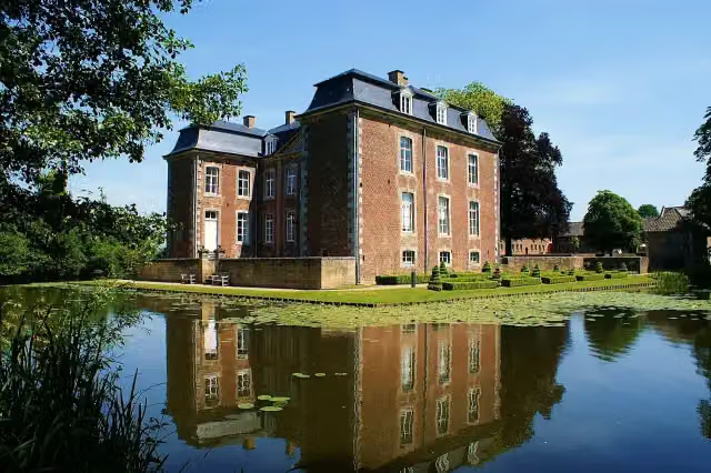 Kasteel CortenbachCastle · 7.6 km from the route
- 4
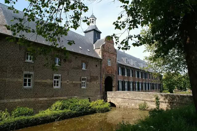 Kasteel WijnandsradeCastle · 8.7 km from the route
- 5
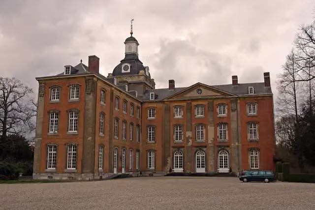 Kasteel AmstenradeCastle · 4.2 km from the route
- 6
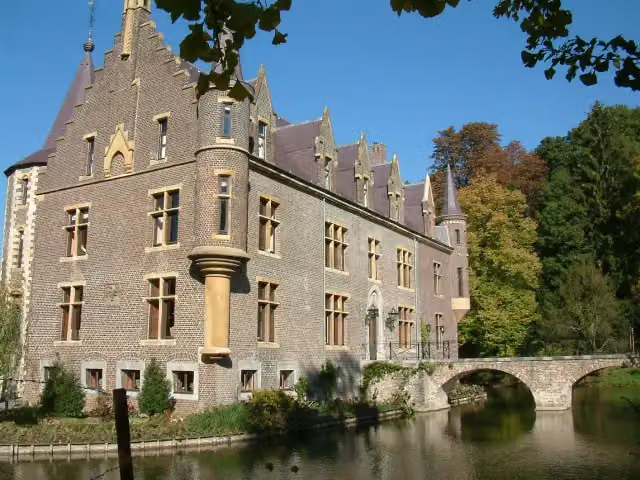 Kasteel TerwormCastle · 6.6 km from the route
- 7
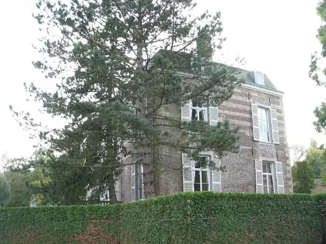 Kasteel StrijthagenCastle · 7.1 km from the route
- 8
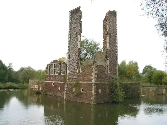 Kasteelruïne SchaesbergRuins · 5 km from the route
- 9
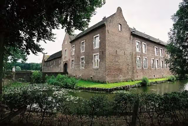 Kasteel TerborghCastle · 8.6 km from the route
- 10
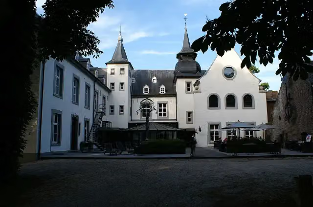 Kasteel DoenradeCastle · 5.5 km from the route
- 11
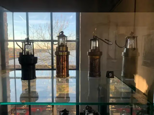 Nederlands MijnmuseumMuseum · 6.4 km from the route
- 12
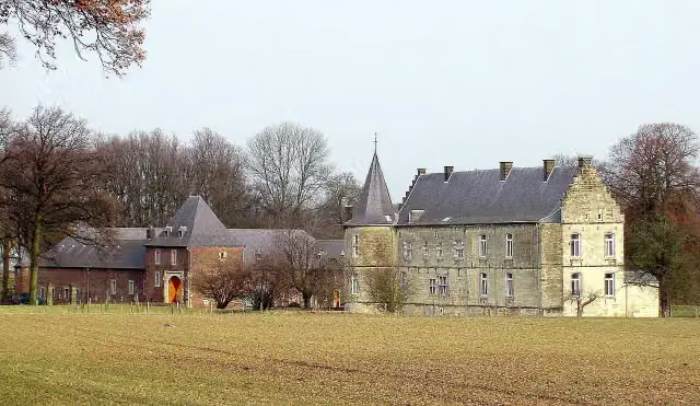 Kasteel RivierenCastle · 6.9 km from the route
- 13
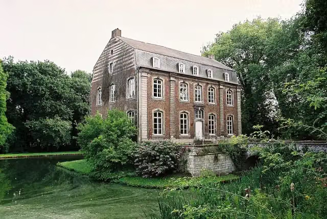 Kasteel PuthCastle · 7.6 km from the route
- 14
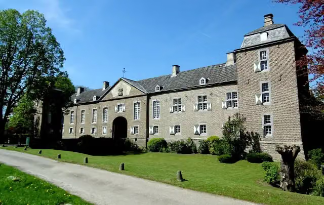 Kasteel HaerenCastle · 8.7 km from the route
- 15
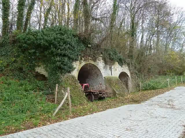 Kalkoven DaelswegRuins · 9.6 km from the route
- 16
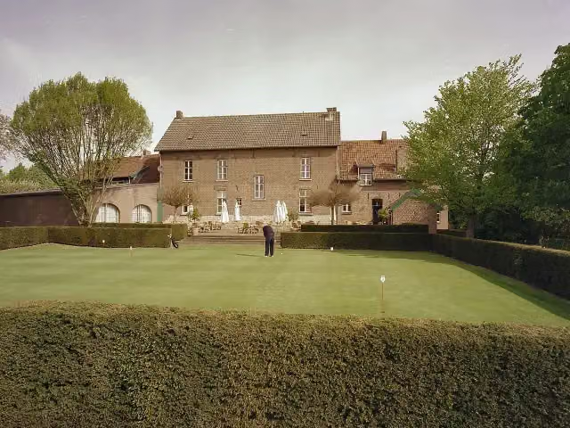 HoenshuisCastle · 8.2 km from the route
- 17
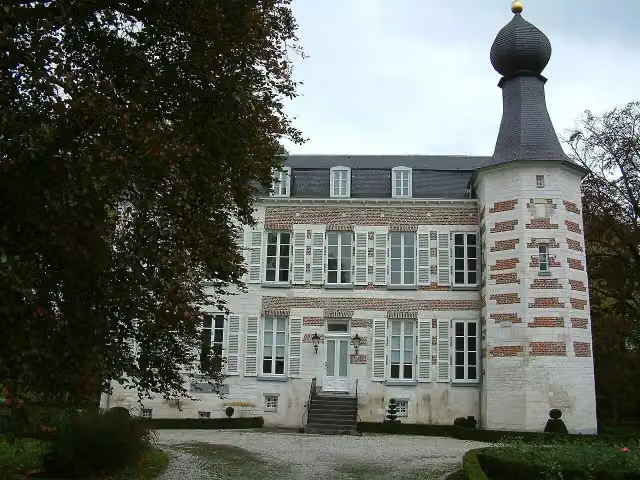 Kasteel ReijmersbeekCastle · 7.2 km from the route
- 18
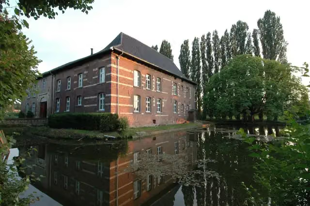 Huis Ten DijckenCastle · 9.2 km from the route
- 19
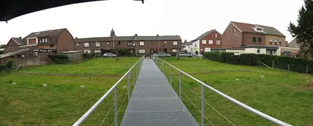 Romeinse villa KaalheideAttraction · 9.6 km from the route
- 20
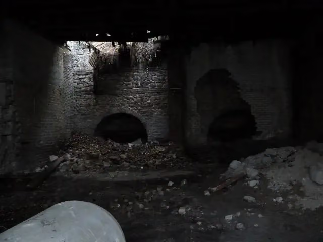 Kalkoven KurversRuins · 9.8 km from the route
- 21
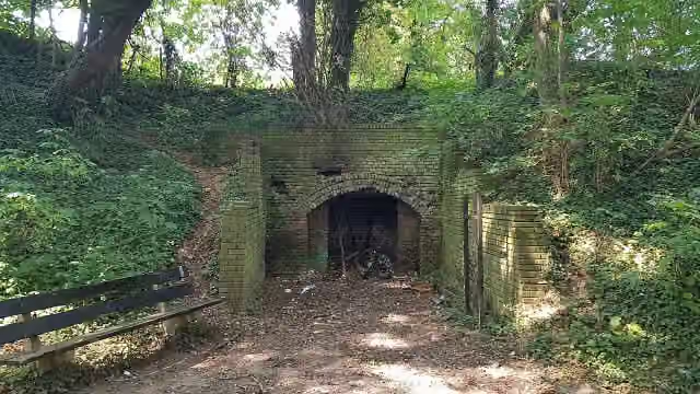 Kalkoven KoffiepotjeRuins · 8.5 km from the route
- 22
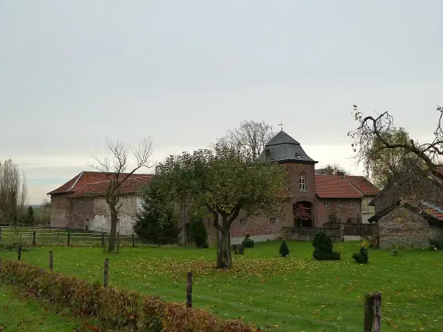 Huize RetersbeekCastle · 9.7 km from the route
- 23
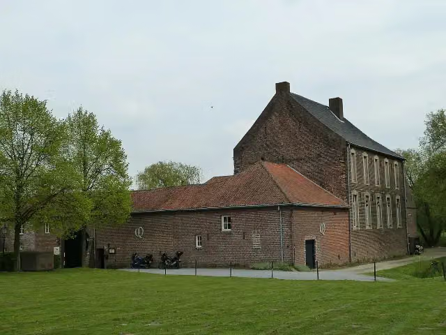 Huis HeyenhovenCastle · 1.5 km from the route
- 24
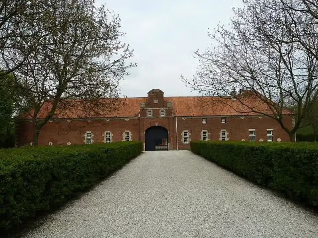 Archaeological siteArchaeological site · 3.2 km from the route
- 25
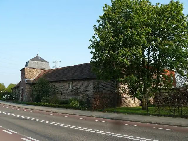 Kasteel Passarts-NieuwenhagenCastle · 3.3 km from the route
Explore more
Frequently asked questions
How long is Schutterspark bronnen route?
Schutterspark bronnen route is 3.2 km long. Allow ± 45 min of walking: 4.5 km an hour and 10 minutes more per 100 metres of climbing, without breaks.
Is this route a circular walk?
Yes, the route starts and ends at the same spot.
Where does this route start?
The route starts in Brunssum.
How hard is this route?
Easy, with 37 m of climbing.
Are there toilets along this route?
No, there is no public toilet within 100 m of the route. Go before you start.
Can you fill up with water along this route?
No, there is no water point within 100 m of the route. Bring enough water.
Starting point
More routes from this place
Route data © OpenStreetMap contributors





