 Outdoor Pitstop
Walking route · Rheinsberg · Updated on 14 November 2026
Europäischer Fernwanderweg E10, Deutschland, Brandenburg walk
Europäischer Fernwanderweg E10, Deutschland, Brandenburg is a walk of 397.9 km from Rheinsberg. Along the way you'll find 662 benches, 2 water fountains and refill points, 34 public toilets, 3 bike pumps and 2 honesty boxes and farm vending machines.
i
i
i
The route step by step
From start to finish, with what you pass along the way and the distance in between.
- 397.9 km
- ± 90:40 h
- ↑ 1,352 m · ↓ 1,304 m
- Hard
- From A to B
- International route
- Colour of the signs
Start in Rheinsberg
0 km15.5 km · 3 benches
Public toilet and 2 water fountains and refill points
15.5 km17.1 km · 30 benches
Public toilet
32.7 km3.5 km · 3 benches
Public toilet
36.1 km1.9 km

Waldmuseum Stendenitz
38 kmMuseum
13.9 km · 14 benches
Public toilet
51.9 km5.5 km · 2 benches
Public toilet
57.4 km3.8 km · 9 benches
Public toilet
61.2 km42.6 km · 21 benches
Bike pump
103.8 km16.3 km · 8 benches
Honesty box
120 km12.7 km · 16 benches
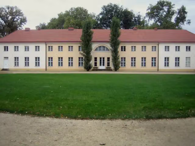
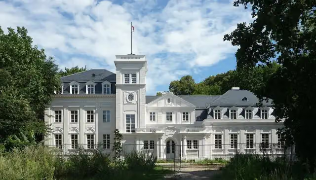
Schloss Paretz
132.7 kmPublic toilet
2 km · 5 benches
Public toilet
134.7 km19.4 km · 14 benches
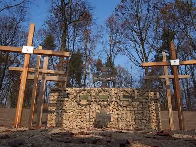
Wald der Erinnerung
154.1 kmMemorial
4.5 km · 12 benches
Villa Carlshagen
158.6 kmAttraction
972 m · 19 benches
Public toilet
159.6 km635 m · 12 benches
Public toilet
160.2 km1.4 km · 43 benches
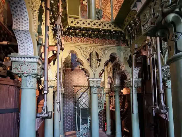
Dampfmaschinenhaus (Moschee)
161.6 kmPublic toilet
1.3 km · 11 benches
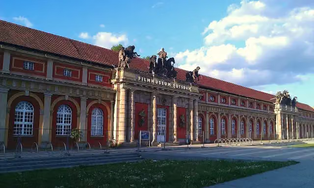
Filmmuseum Potsdam
162.9 kmPublic toilet
154 m · 13 benches
Ringerkolonnade and 1 more
163.1 kmCity Palace
160 m · 5 benches
Bittschriftenlinde
163.2 kmPublic toilet
500 m · 19 benches
Bike pump
163.7 km732 m · 31 benches
Public toilet
164.5 km2.8 km · 8 benches
Kleiner Ravensberg
167.3 kmViewpoint
24.4 km · 23 benches
Bauernmuseum Blankensee
191.7 kmPublic toilet and honesty box
6.7 km · 15 benches
Aussichtsturm auf dem Löwendorfer Berg
198.5 kmObservation tower
29 km · 22 benches
Schulmuseum Zossen
227.4 kmMuseum
19.9 km · 11 benches
Public toilet
247.3 km31.9 km · 21 benches
Public toilet
279.3 km5.8 km
Weidendom Schlepzig
285.1 kmPublic toilet
14.7 km · 21 benches
Museum Schloss Lübben
299.8 km2 public toilets and bike pump
Show the other 16 steps
13.9 km · 23 benches
Spreewald-Museum Lübbenau
313.8 kmMuseum
243 m · 3 benches
Historische Orgel
314 kmPublic toilet
383 m · 21 benches
2 public toilets
314.4 km400 m · 17 benches
Public toilet
314.8 km5.1 km · 8 benches
Public toilet
319.9 km8 km · 5 benches
2 public toilets
327.9 km1.3 km
Public toilet
329.3 km20.8 km · 46 benches
Japanischer Pavillon
350 kmAttraction
1.9 km · 80 benches
Raumflugplanetarium „Juri Gagarin“
351.9 kmAttraction
210 m · 10 benches
Public toilet
352.1 km343 m · 3 benches
2 public toilets
352.5 km2.8 km · 4 benches
Spreebrücke
355.3 kmAttraction
14 km · 8 benches
Public toilet
369.3 km190 m · bench
2 public toilets
369.5 km11.3 km · 18 benches
Bismarckturm Spremberg
380.8 kmAttraction
17.1 km · 4 benches
Finish
397.9 km
Longest stretch without a toilet: 71.7 kmBetween 61.2 km and 132.9 km there is no public toilet within 100 m of the route.
The route with the pitstops and sights within 100 m of it.
21 sights along the way
In the order you pass them. With the Outdoor Pitstop app you hear their story on the spot. 13 more along the route are on the map.

Museum · after 38 km
i
Photo: Manfred Brueckels · Wikimedia Commons · CC BY-SA 3.0View the photo on Wikimedia CommonsCastle · after 132.7 km
i
Photo: Wiegold.de · Wikimedia Commons · CC BY-SA 4.0View the photo on Wikimedia CommonsMemorial · after 154.1 km
i
Photo: Suse · Wikimedia Commons · CC BY-SA 4.0View the photo on Wikimedia CommonsAttraction · after 158.6 km
i
Photo: Rigorius · Wikimedia Commons · CC BY-SA 4.0View the photo on Wikimedia CommonsAttraction · after 161.6 km
i
Photo: Ethan Doyle White · Wikimedia Commons · CC BY-SA 3.0View the photo on Wikimedia CommonsMuseum · after 163 km
Memorial · after 163.1 km
City Palace
Castle · after 163.2 km
Elevation and terrain
- Up
- ↑ 1,352 m
- Down
- ↓ 1,304 m
- Highest point
- 160 m
- Lowest point
- 30 m
- 18 stairs
Elevation from Copernicus GLO-30 (European Union and ESA), smoothed.
produced using Copernicus WorldDEM-30 © DLR e.V. 2010-2014 and © Airbus Defence and Space GmbH 2014-2018 provided under COPERNICUS by the European Union and ESA; all rights reserved
Way types
397.9 km in total- Track: 171.9 km
- Street: 67.9 km
- Path: 64.9 km
- Road: 56.8 km
- Footpath: 17.4 km
- Busy road: 14.5 km
- Cycleway: 2.4 km
- Stairs: 18 stairs
- Unknown: 275 m
Surfaces
397.9 km in total- Asphalt: 114.1 km
- Gravel: 87.7 km
- Unpaved: 55.9 km
- Paved: 53.3 km
- Natural: 32.4 km
- Unknown: 53.8 km
About the walking route Europäischer Fernwanderweg E10, Deutschland, Brandenburg
Updated on 14 November 2026, with data from OpenStreetMap, the AHN and Copernicus.
Where do you walk?
Europäischer Fernwanderweg E10, Deutschland, Brandenburg is a walking route of 397.9 km that starts in Rheinsberg. It does not end where it starts. You start in Großer Pälitzsee / Ellbogensee and finish in Schleife. Along the way you pass Waldmuseum Stendenitz (after 38 km), Schloss Paretz (after 132.7 km) and Wald der Erinnerung (after 154.1 km).
How hard is the route?
You climb 1,352 m in total and descend 1,304 m. There are 18 flights of steps along the way. Allow ± 90:40 h, without breaks. The level is hard.
What paths do you walk on?
The longest part is track (171.9 km), street (67.9 km) and path (64.9 km). Of the surface, 114.1 km asphalt and 87.7 km gravel. For 53.8 km the surface is not known.
Pitstops along the way
Within 100 metres of the route there are 662 benches, 2 water fountains and refill points, 34 public toilets, 3 bike pumps and 2 honesty boxes and farm vending machines. You can fill your bottle after 15.5 km and after 15.6 km. The longest stretch without a toilet is 71.7 km. The Outdoor Pitstop app navigates you there.
Part of Ostsee–Saaletalsperren
Website of the routeWalks nearby
5- Europäischer Fernwanderweg E10, Deutschland, MecklenburgHard · From A to B189.6 km
- Ruppiner Land-RundwegHard · Circular walk243.6 km
- European hiking path E10, Germany, AlternativeHard · From A to B144 km
- Brandenburgischer KlosterwegHard · Circular walk57.2 km
- Pilgerweg Mecklenburgische Seenplatte (Südost)Hard · From A to B121.3 km
Sights nearby
Within 10 km of the route, best known first.
- 1
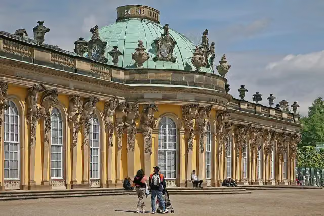 Sanssouci PalaceAttraction · 1 km from the route
- 2
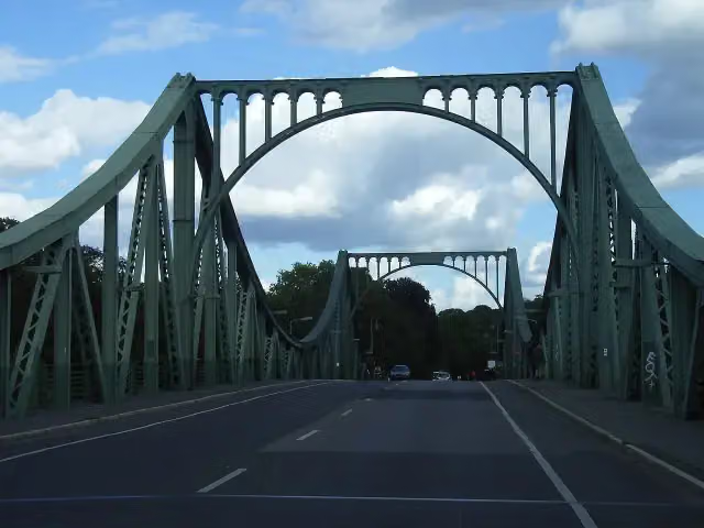 Glienicker BrückeAttraction · 2.9 km from the route
- 3
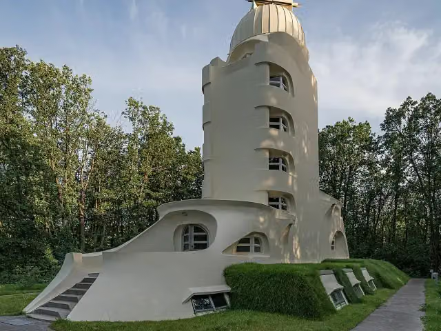 Einstein TowerAttraction · 225 m from the route
- 4
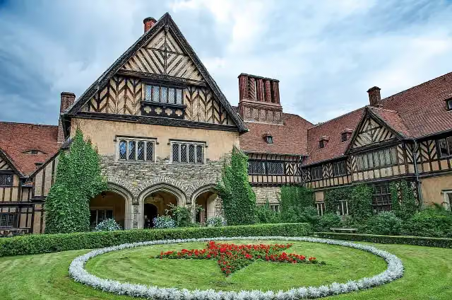 Schloss CecilienhofAttraction · 2.9 km from the route
- 5
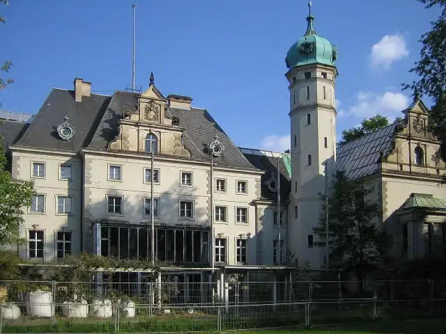 Jagdschloss GlienickeCastle · 3.1 km from the route
- 6
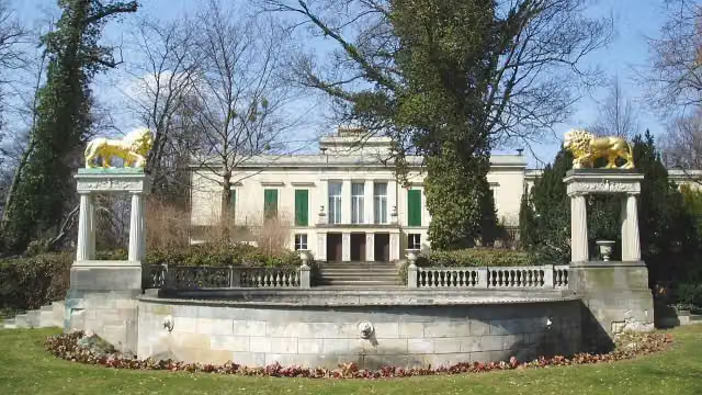 Schloss GlienickeAttraction · 3.2 km from the route
- 7
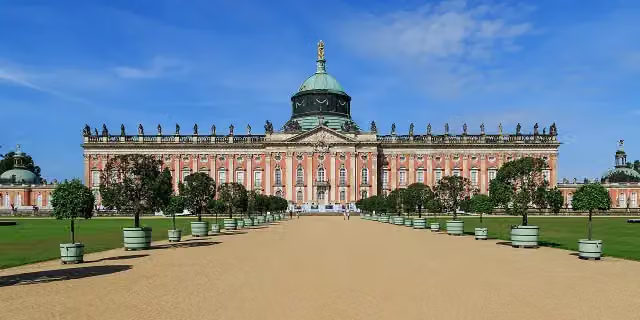 New PalaceAttraction · 1.8 km from the route
- 8
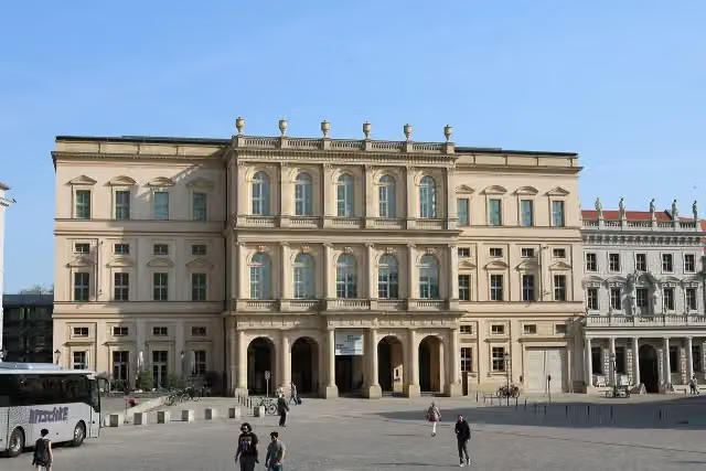 Museum BarberiniMuseum · 172 m from the route
- 9
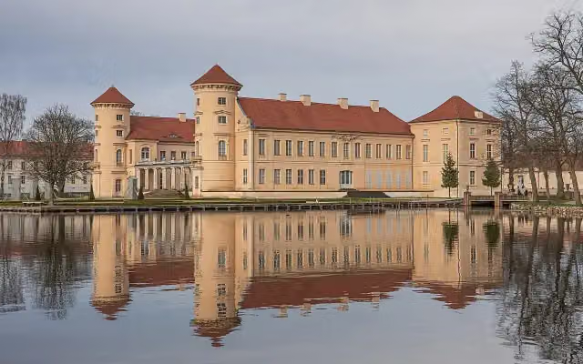 Schloss RheinsbergCastle · 196 m from the route
- 10
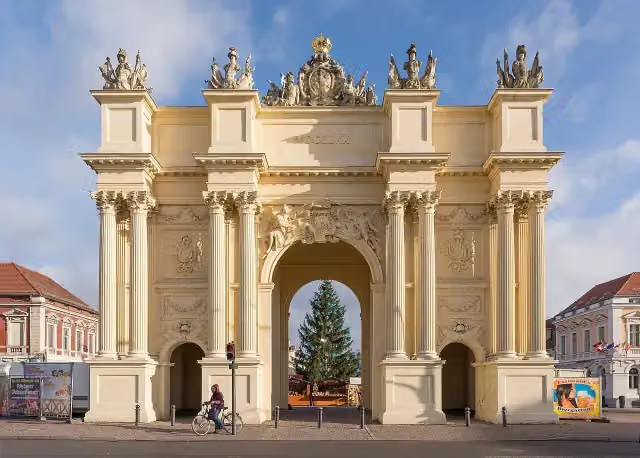 Brandenburger TorAttraction · 433 m from the route
- 11
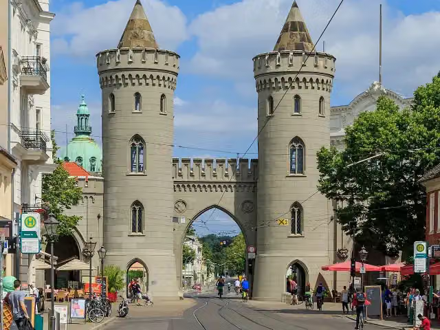 Nauener TorAttraction · 994 m from the route
- 12
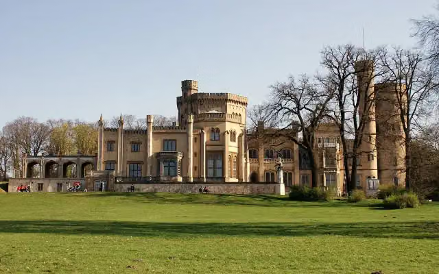 Schloss BabelsbergAttraction · 2.7 km from the route
- 13
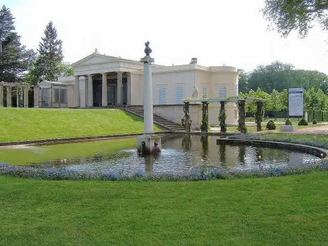 Schloss CharlottenhofCastle · 864 m from the route
- 14
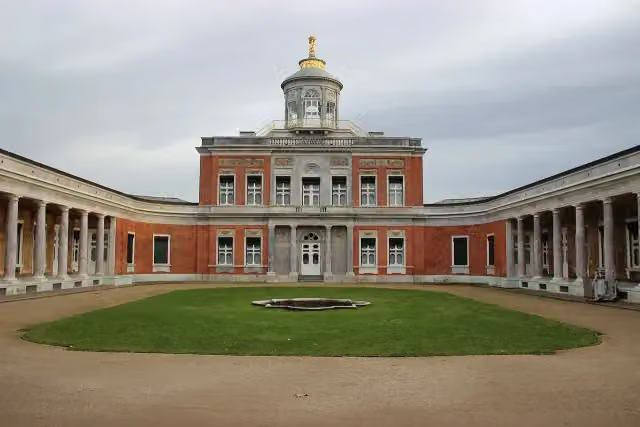 Marmor PalaceAttraction · 2.2 km from the route
- 15
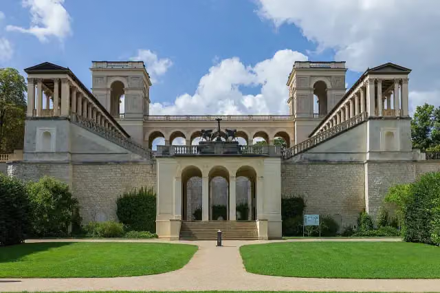 Belvedere auf dem PfingstbergAttraction · 2.7 km from the route
- 16
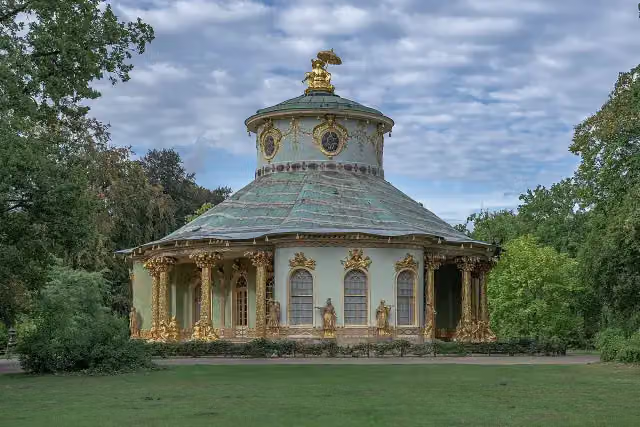 Chinese HouseAttraction · 969 m from the route
- 17
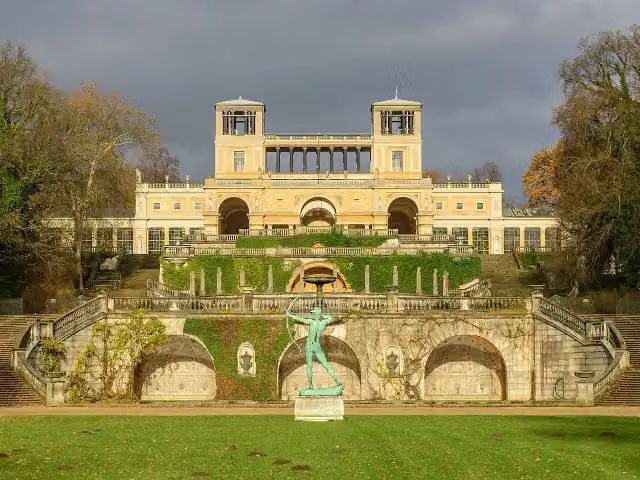 OrangerieschlossAttraction · 1.4 km from the route
- 18
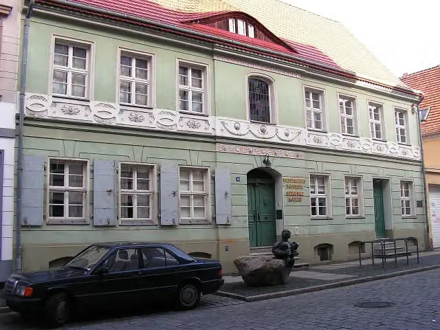 Wendish MuseumMuseum · 319 m from the route
- 19
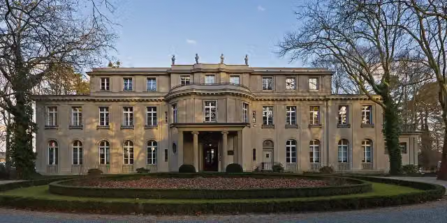 House of the Wannsee ConferenceMuseum · 8.3 km from the route
- 20
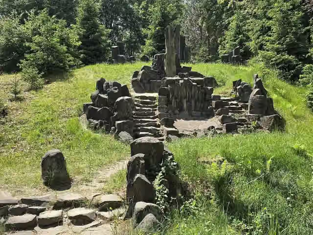 RichterstuhlAttraction · 7.2 km from the route
- 21
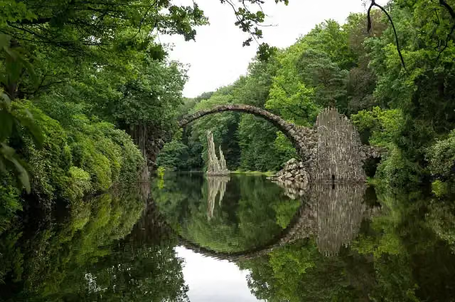 Rhododendron Park KromlauAttraction · 7.8 km from the route
- 22
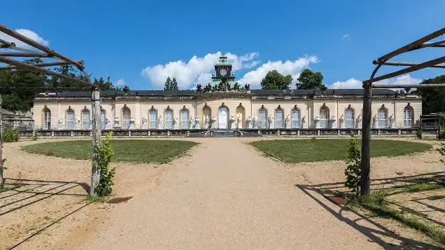 Picture GalleryMuseum · 908 m from the route
- 23
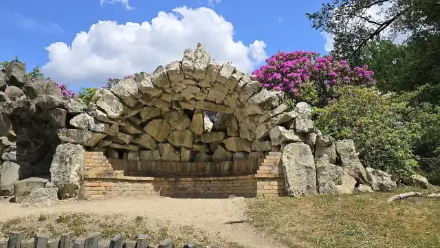 Grotto heaven and hellAttraction · 7.4 km from the route
- 24
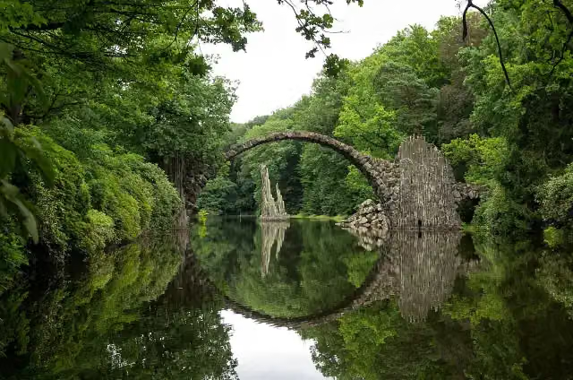 RakotzbrückeAttraction · 8.2 km from the route
- 25
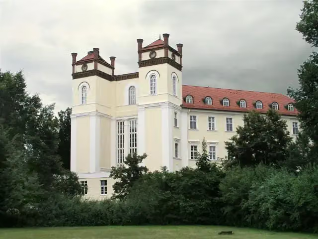 Schloß LübbenauCastle · 202 m from the route
Explore more
More walks around Rheinsberg
More nearby
Frequently asked questions
How long is Europäischer Fernwanderweg E10, Deutschland, Brandenburg?
Europäischer Fernwanderweg E10, Deutschland, Brandenburg is 397.9 km long. Allow ± 90:40 h of walking: 4.5 km an hour and 10 minutes more per 100 metres of climbing, without breaks.
Is this route a circular walk?
No, the route runs from Großer Pälitzsee / Ellbogensee to Schleife.
Where does this route start?
The route starts in Rheinsberg.
How hard is this route?
Hard, with 1,352 m of climbing.
Are there toilets along this route?
Yes, there are 34 public toilets within 100 m of the route. The longest stretch without a toilet is 71.7 km.
Can you fill up with water along this route?
Yes, there are 2 water fountains and refill points within 100 m of the route.
What is there to see along this route?
Along the way you pass Waldmuseum Stendenitz, Schloss Paretz and Wald der Erinnerung.
Can I download this route as a GPX file?
Yes. Sign in with your Outdoor Pitstop account and choose Download GPX at the top of this page: 10 routes a month for free, unlimited with Pro.
Starting point
More routes from this place
Route data © OpenStreetMap contributors





