 Outdoor Pitstop
Walking route · Kelmis - La Calamine · Updated on 6 November 2026
GRP 563 Liaison gare Aix-la-Chapelle walk
GRP 563 Liaison gare Aix-la-Chapelle is a walk of 139 m from Kelmis - La Calamine that starts and ends at the same spot.
The route step by step
From start to finish, with what you pass along the way and the distance in between.
- 139 m
- ± 5 min
- Easy
- Circular walk
- Regional route
Start in Kelmis - La Calamine
0 km139 m
Back at the start
139 m
No public toilet along the wayThere is no public toilet within 100 m of the route. Go before you start, or find one a bit further away in the app.
The route with the pitstops and sights within 100 m of it.
Elevation and terrain
Way types
139 m in total- Path: 139 m
Surfaces
139 m in total- Unpaved: 139 m
About the walking route GRP 563 Liaison gare Aix-la-Chapelle
Updated on 6 November 2026, with data from OpenStreetMap and the AHN.
Where do you walk?
GRP 563 Liaison gare Aix-la-Chapelle is a circular walk of 139 m from Kelmis - La Calamine: it starts and ends in the same place.
How hard is the route?
Allow ± 5 min, without breaks. The level is easy.
What paths do you walk on?
The longest part is path (139 m). Of the surface, 139 m unpaved.
Pitstops along the way
There are no pitstops within 100 metres of the route yet. There is no public toilet within 100 metres of the route.
Walks nearby
6- GR 128 Duits deeltraject: Teuven-AkenHard · From A to B17.3 km
- Promenade du Bois de PreussEasy · From A to B3.2 km
- GRP 563 Tour du Pays de HerveEasy · Circular walk5.2 km
- GRT-BVW 21 Limbourg - Clermont-sur-BerwinneEasy · From A to B5.2 km
- GrenzRouten: Route 2 - Neutral-MoresnetEasy · From A to B1 km
- GrenzRouten: Route 4 - LandgrabenEasy · From A to B1.2 km
Sights nearby
Within 10 km of the route, best known first.
- 1
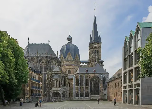 Aachen CathedralAttraction · 4.9 km from the route
- 2
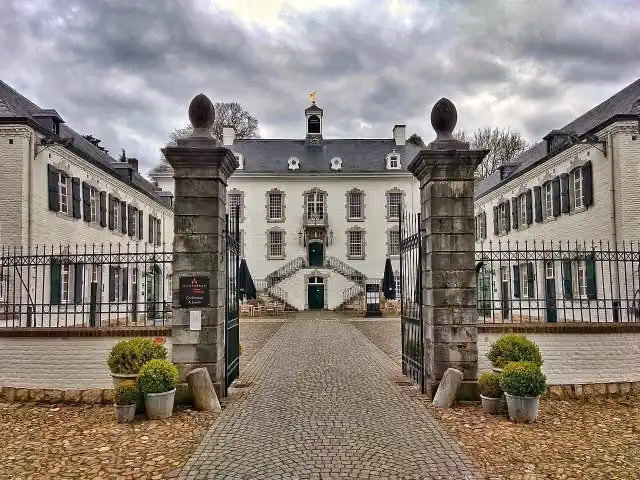 Kasteel VaalsbroekCastle · 2.5 km from the route
- 3
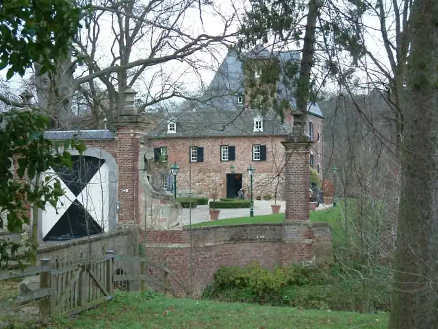 Kasteel LemiersCastle · 4.5 km from the route
- 4
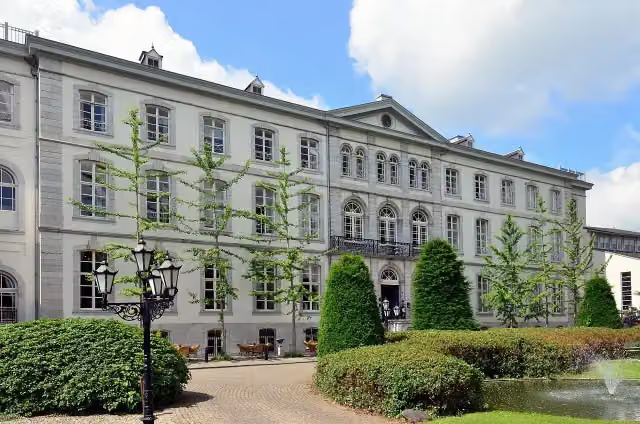 Huis BloemendalCastle · 2.3 km from the route
- 5
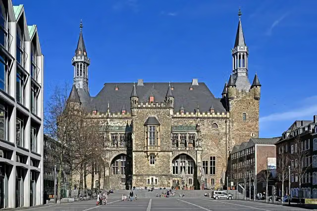 Aachen Town HallAttraction · 5 km from the route
- 6
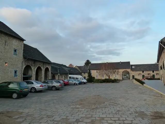 Hoeve OverhuizenCastle · 7.2 km from the route
- 7
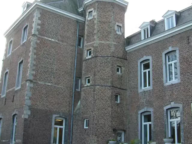 Kasteel NijswillerCastle · 7.4 km from the route
- 8
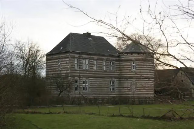 Kasteel De BongardCastle · 7.9 km from the route
- 9
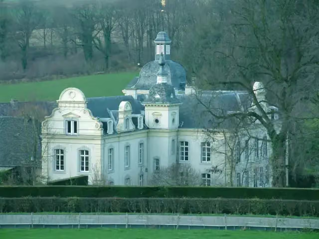 Kasteel GoedenraadCastle · 9.4 km from the route
- 10
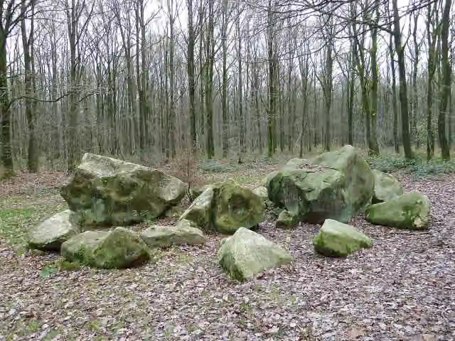 Geologisch monument ZandsteenblokkenMemorial · 4.8 km from the route
- 11
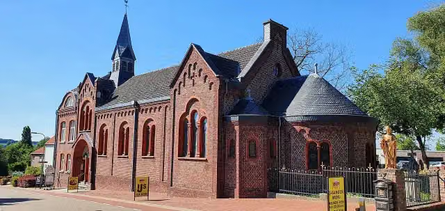 Museum VaalsMuseum · 2.3 km from the route
- 12
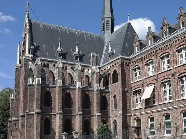 De Schat van SimpelveldMuseum · 9.3 km from the route
- 13
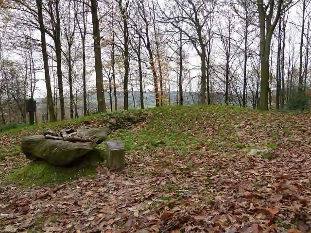 Archaeological siteArchaeological site · 3.1 km from the route
- 14
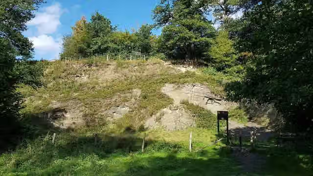 HeimansgroeveViewpoint · 6.5 km from the route
- 15
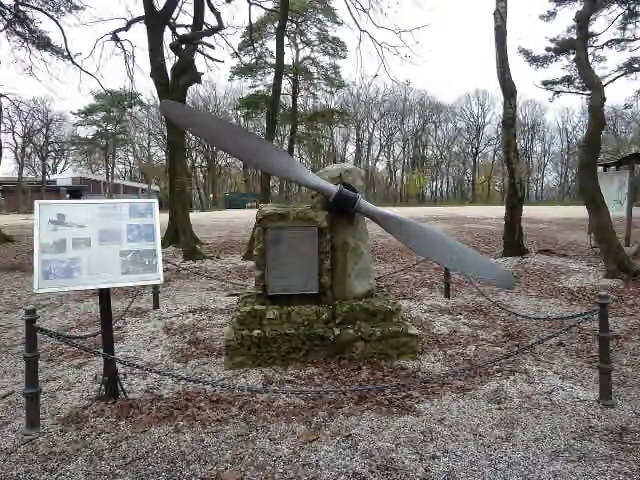 MemorialMemorial · 992 m from the route
- 16
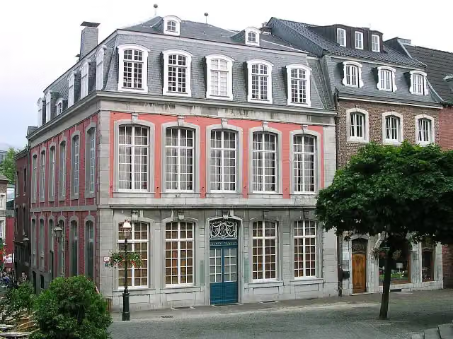 Couven-MuseumMuseum · 5 km from the route
- 17
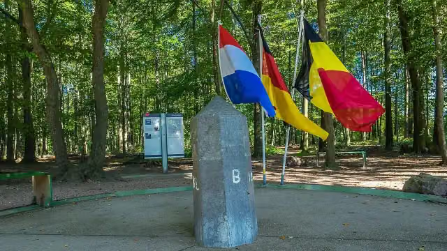 Border tripointAttraction · 157 m from the route
- 18
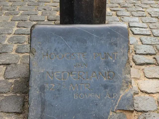 Highest point of the NetherlandsMemorial · 206 m from the route
- 19
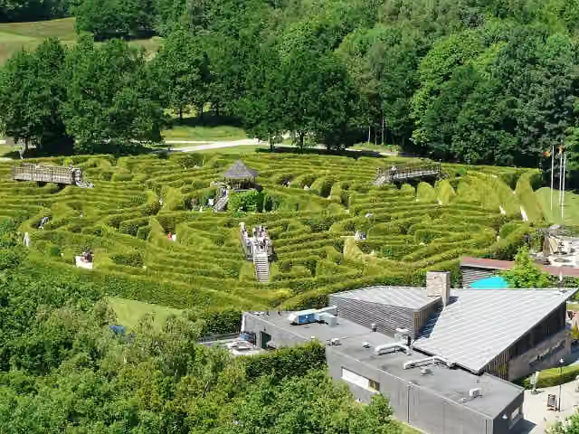 Labyrint DrielandenpuntAttraction · 343 m from the route
- 20
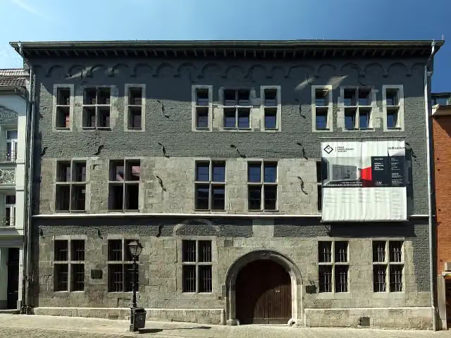 International Newspaper MuseumMuseum · 5 km from the route
- 21
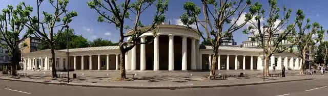 ElisenbrunnenAttraction · 5.1 km from the route
- 22
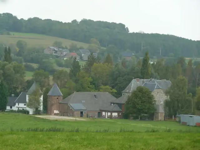 Château de BroichCastle · 7.8 km from the route
- 23
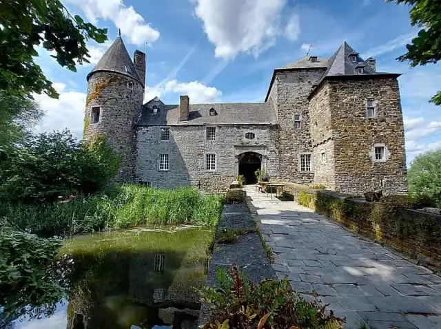 Château de StreversdorpCastle · 8.1 km from the route
- 24
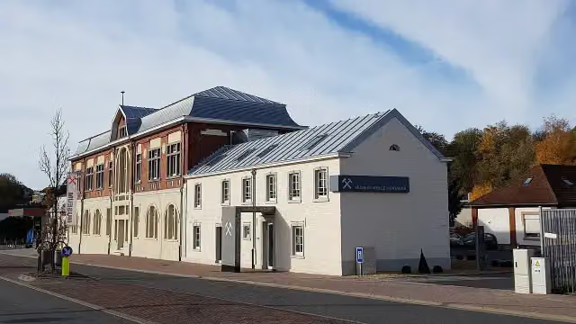 Museum Vieille MontagneMuseum · 4.7 km from the route
- 25
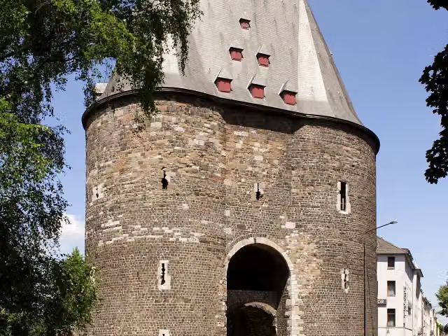 MarschiertorAttraction · 4.8 km from the route
Explore more
More walks around Kelmis - La Calamine
Frequently asked questions
How long is GRP 563 Liaison gare Aix-la-Chapelle?
GRP 563 Liaison gare Aix-la-Chapelle is 139 m long. Allow ± 5 min of walking: 4.5 km an hour and 10 minutes more per 100 metres of climbing, without breaks.
Is this route a circular walk?
Yes, the route starts and ends at the same spot.
Where does this route start?
The route starts in Kelmis - La Calamine.
How hard is this route?
Easy.
Are there toilets along this route?
No, there is no public toilet within 100 m of the route. Go before you start.
Can you fill up with water along this route?
No, there is no water point within 100 m of the route. Bring enough water.
Starting point
More routes from this place
Route data © OpenStreetMap contributors





