 Outdoor Pitstop
Walking route · Loon op Zand · Updated on 6 November 2026
Camino Brabant - R12: Kaatsheuvel-Heusden walk
Camino Brabant - R12: Kaatsheuvel-Heusden is a walk of 22.2 km from Loon op Zand. Along the way you'll find 60 benches and picnic tables, 2 water fountains and refill points and 2 public toilets.
i

i
The route step by step
From start to finish, with what you pass along the way and the distance in between.
- 22.2 km
- ± 4:55 h
- ↑ 17 m · ↓ 19 m
- Hard
- From A to B
- Regional route
- Colour of the signs
Start in Loon op Zand
0 km2.1 km · 8 benches
Public toilet
2.1 km237 m

Fata Morgana
2.3 kmPublic toilet and water point
267 m · 7 benches
Piraña
2.6 kmAttraction · Audio story · 2 min
212 m
Joris en de Draak and 1 more
2.8 kmPython and water point
19.4 km · 45 benches
Finish
22.2 km
Longest stretch without a toilet: 19.8 kmBetween 2.4 km and 22.2 km there is no public toilet within 100 m of the route.
The route with the pitstops and sights within 100 m of it.
4 sights along the way
In the order you pass them. With the Outdoor Pitstop app you hear their story on the spot.
- Audio story · 2 min
i
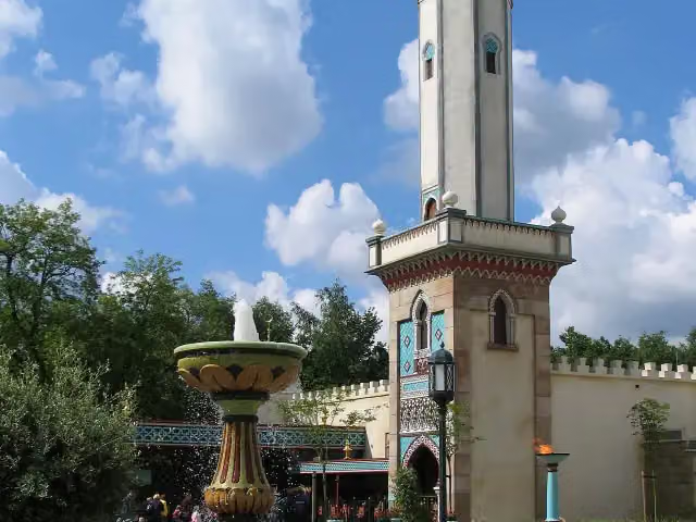
Photo: Stefan Scheer · Wikimedia Commons · CC BY-SA 3.0View the photo on Wikimedia CommonsFata Morgana
Attraction · after 2.3 km
- Audio story · 2 min
i
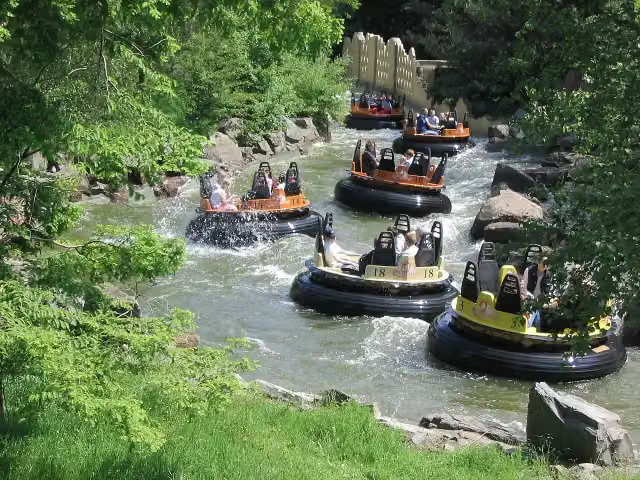
Photo: Stefan Scheer · Wikimedia Commons · CC BY 2.5View the photo on Wikimedia CommonsPiraña
Attraction · after 2.6 km
 Audio story · 2 min
i
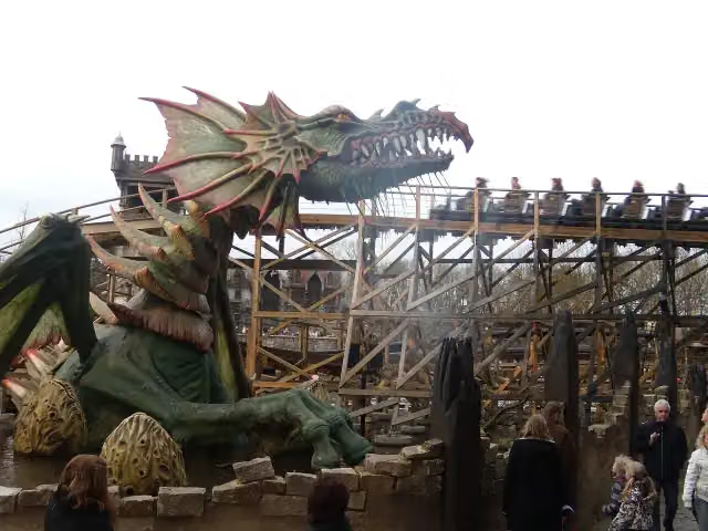
Photo: Freddo · Wikimedia Commons · CC BY-SA 3.0View the photo on Wikimedia CommonsJoris en de Draak
Attraction · after 2.9 km
 Audio story · 2 min
i
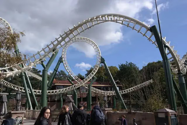
Photo: Steven Lek · Wikimedia Commons · CC BY-SA 4.0View the photo on Wikimedia CommonsPython
Attraction · after 2.9 km
Elevation and terrain
- Up
- ↑ 17 m
- Down
- ↓ 19 m
- Highest point
- 14 m
- Lowest point
- 1 m
- 1 flight of stairs
Elevation from AHN (Rijkswaterstaat), smoothed.
Way types
22.2 km in total- Path: 6.8 km
- Road: 5.9 km
- Cycleway: 4.7 km
- Track: 1.4 km
- Street: 1.3 km
- Footpath: 1.3 km
- Busy road: 800 m
- Stairs: 1 flight of stairs
Surfaces
22.2 km in total- Asphalt: 7.5 km
- Natural: 5.8 km
- Paved: 3.1 km
- Unpaved: 1.5 km
- Gravel: 300 m
- Unknown: 4 km
About the walking route Camino Brabant - R12: Kaatsheuvel-Heusden
Updated on 6 November 2026, with data from OpenStreetMap and the AHN.
Where do you walk?
Camino Brabant - R12: Kaatsheuvel-Heusden is a walking route of 22.2 km that starts in Loon op Zand. It does not end where it starts. Along the way you pass Fata Morgana (after 2.3 km), Piraña (after 2.6 km) and Joris en de Draak (after 2.9 km).
How hard is the route?
The route is almost flat. You climb 17 m in total and descend 19 m. There is 1 flight of steps along the way. Allow ± 4:55 h, without breaks. The level is hard.
What paths do you walk on?
The longest part is path (6.8 km), road (5.9 km) and cycleway (4.7 km). Of the surface, 7.5 km asphalt and 5.8 km natural. For 4 km the surface is not known.
Pitstops along the way
Within 100 metres of the route there are 60 benches and picnic tables, 2 water fountains and refill points and 2 public toilets. You can fill your bottle after 2.4 km and after 2.8 km. The longest stretch without a toilet is 19.8 km. The Outdoor Pitstop app navigates you there.
Part of Camino Brabant - Totale route (Camino Brabant - Complete route)
Website of the routeWalks nearby
6- Camino Brabant - R11: Breda-KaatsheuvelHard · From A to B28.2 km
- Grensdijkjespad - 6 - Kaatsheuvel - Klein DongenModerate · From A to B10.2 km
- Grensdijkjespad - 5 - Nieuwkuijk - KaatsheuvelModerate · From A to B14.9 km
- Wandelroute Canadese Bevrijders etappe 7: Geertruidenberg-Sprang-CapelleHard · From A to B27.7 km
- Wandelroute Canadese Bevrijders etappe 8: Sprang-Capelle-UdenhoutHard · From A to B28.3 km
- Biesboschpad - 10Moderate · From A to B10.5 km
Sights nearby
Within 10 km of the route, best known first.
- 1
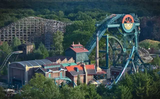 Baron 1898Attraction · 221 m from the route
- 2
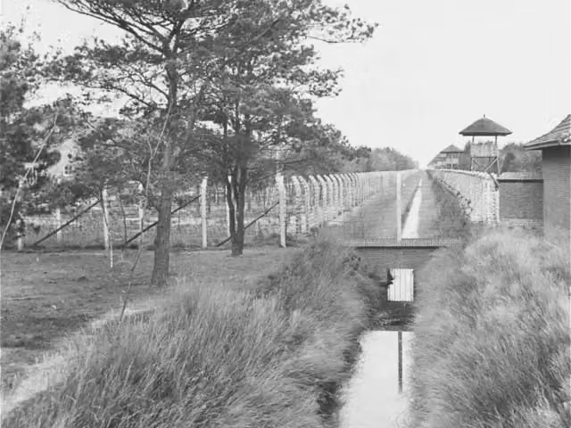 Concentration Camp MuseumMuseum · 9 km from the route
- 3
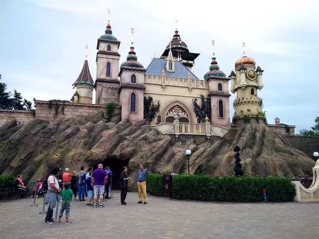 SymbolicaAttraction · 418 m from the route
- 4
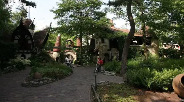 Volk van LaafAttraction · 541 m from the route
- 5
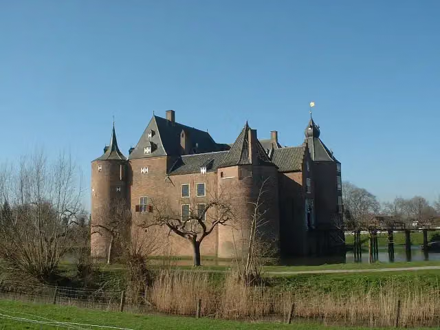 Ammersoyen CastleAttraction · 6.6 km from the route
- 6
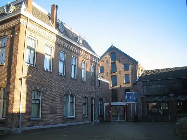 TextielmuseumMuseum · 8.2 km from the route
- 7
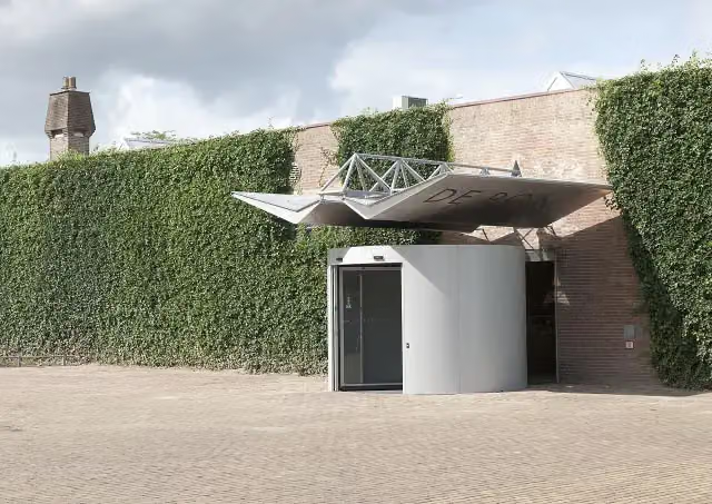 Museum De PontMuseum · 8.5 km from the route
- 8
 AquanuraAttraction · 142 m from the route
- 9
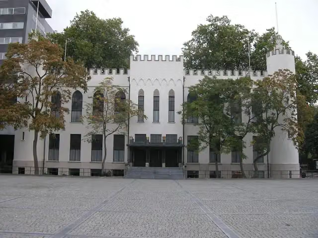 Paleis-RaadhuisCastle · 10 km from the route
- 10
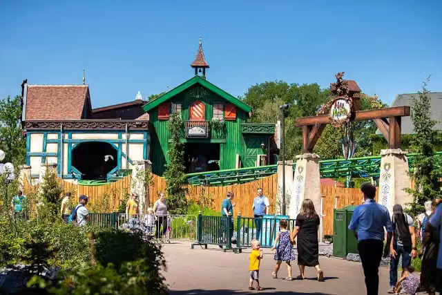 Max & MoritzAttraction · 175 m from the route
- 11
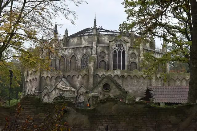 Danse MacabreAttraction · 258 m from the route
- 12
 StoomcarrouselAttraction · 524 m from the route
- 13
 SiroccoAttraction · 587 m from the route
- 14
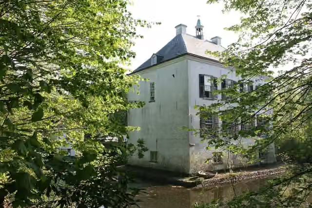 Het Witte KasteelCastle · 2.2 km from the route
- 15
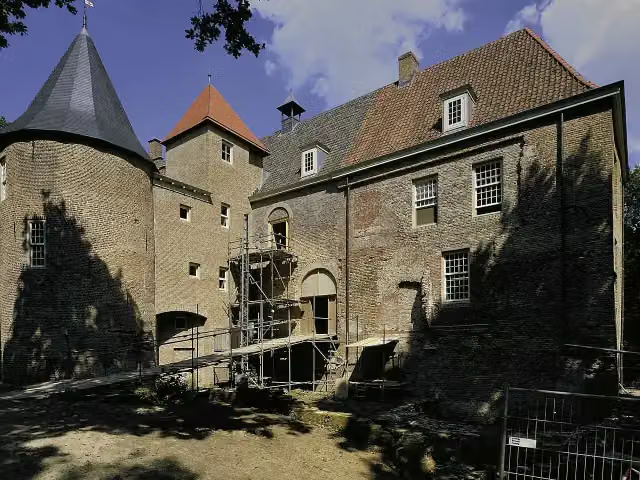 Kasteel NederhemertCastle · 2.5 km from the route
- 16
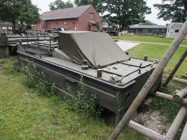 GeniemuseumMuseum · 8.9 km from the route
- 17
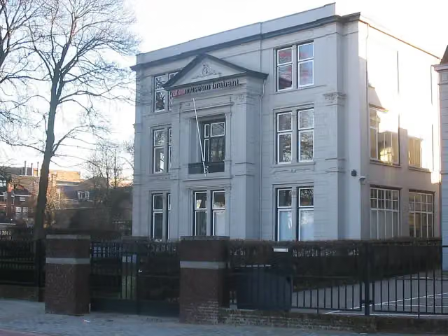 Natuurmuseum BrabantMuseum · 9.4 km from the route
- 18
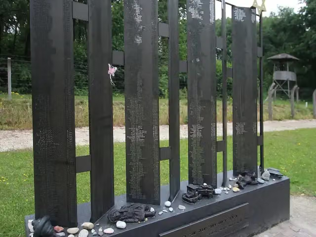 Monument der verloren kinderenMemorial · 8.9 km from the route
- 19
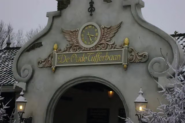 De Oude TufferbaanAttraction · 256 m from the route
- 20
 Efteling MuseumMuseum · 630 m from the route
- 21
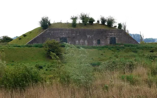 Batterij onder BrakelFort · 10 km from the route
- 22
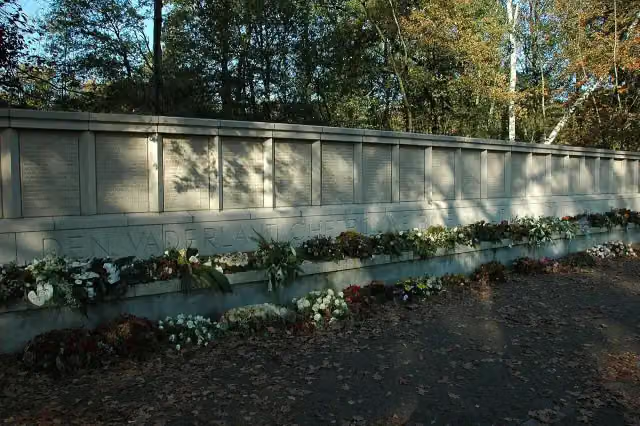 FusilladeplaatsMemorial · 9.3 km from the route
- 23
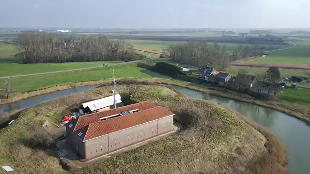 Fort HedikhuizenFort · 3.2 km from the route
- 24
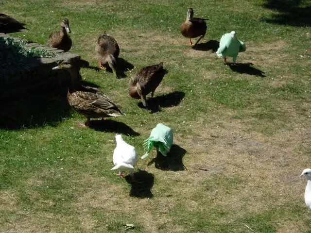 Het Bruidskleed van GenovevaAttraction · 386 m from the route
- 25
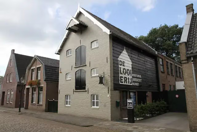 De LooierijMuseum · 7.9 km from the route
Explore more
Frequently asked questions
How long is Camino Brabant - R12: Kaatsheuvel-Heusden?
Camino Brabant - R12: Kaatsheuvel-Heusden is 22.2 km long. Allow ± 4:55 h of walking: 4.5 km an hour and 10 minutes more per 100 metres of climbing, without breaks.
Is this route a circular walk?
No, the route starts and ends at different spots.
Where does this route start?
The route starts in Loon op Zand.
How hard is this route?
Hard, with 17 m of climbing.
Are there toilets along this route?
Yes, there are 2 public toilets within 100 m of the route. The longest stretch without a toilet is 19.8 km.
Can you fill up with water along this route?
Yes, there are 2 water fountains and refill points within 100 m of the route.
What is there to see along this route?
Along the way you pass Fata Morgana, Piraña and Joris en de Draak.
Starting point
More routes from this place
Route data © OpenStreetMap contributors





