 Outdoor Pitstop
Walking route · Stein · Maasvallei River Park Long-Distance Walk High-water variant · Updated on 6 November 2026
Rivierpark Maasvallei LAW Hoogwatervariant walk
Rivierpark Maasvallei LAW Hoogwatervariant is a walk of 2.2 km from Stein. Along the way you'll find 3 benches and picnic tables and 1 water point.
i
The route step by step
From start to finish, with what you pass along the way and the distance in between.
- 2.2 km
- ± 30 min
- ↑ 0 m · ↓ 0 m
- Easy
- From A to B
- Regional route
Start in Stein
0 kmAt the start: water point.
2.2 km · 2 benches

Finish
2.2 kmAt the finish: Kasteel Obbicht.
No public toilet along the wayThere is no public toilet within 100 m of the route. Go before you start, or find one a bit further away in the app.
The route with the pitstops and sights within 100 m of it.
1 sight along the way
In the order you pass them. With the Outdoor Pitstop app you hear their story on the spot.
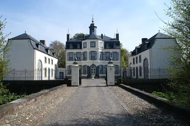
Kasteel Obbicht
Castle · after 2 km
Elevation and terrain
- Up
- ↑ 0 m
- Down
- ↓ 0 m
- Highest point
- 36 m
- Lowest point
- 34 m
Nowhere steeper than 5%.
Elevation from AHN (Rijkswaterstaat), smoothed.
Way types
2.2 km in total- Cycleway: 1.7 km
- Road: 500 m
Surfaces
2.2 km in total- Asphalt: 2.1 km
- Paved: 25 m
- Unknown: 25 m
About the walking route Rivierpark Maasvallei LAW Hoogwatervariant
Updated on 6 November 2026, with data from OpenStreetMap and the AHN.
Where do you walk?
Rivierpark Maasvallei LAW Hoogwatervariant is a walking route of 2.2 km that starts in Stein. It does not end where it starts. Along the way you pass Kasteel Obbicht (after 2 km).
How hard is the route?
The route is almost flat. You climb 0 m in total and descend 0 m. Allow ± 30 min, without breaks. The level is easy.
What paths do you walk on?
The longest part is cycleway (1.7 km) and road (500 m). Of the surface, 2.1 km asphalt and 25 m paved. For 25 m the surface is not known.
Pitstops along the way
Within 100 metres of the route there are 3 benches and picnic tables and 1 water point. You can fill your bottle at the start. There is no public toilet within 100 metres of the route. The Outdoor Pitstop app navigates you there.
Walks nearby
6- Rivierpark Maasvallei LangeafstandswandelingHard · From A to B107.8 km
- PeerkePad - 2 - Houthem Sint Gerlach-Berg aan de MaasHard · From A to B23.3 km
- Stein ST01 CultuurrouteEasy · Circular walk8.6 km
- PeerkePad - 3 - Berg aan de Maas-BreeEasy · From A to B3.5 km
- Leut Blauwe ruitEasy · From A to B1.3 km
- Sittard-Geleen SG4 Grevenbicht langs ObbichtModerate · Circular walk10.2 km
Sights nearby
Within 10 km of the route, best known first.
- 1
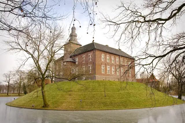 Kasteel LimbrichtCastle · 4.2 km from the route
- 2
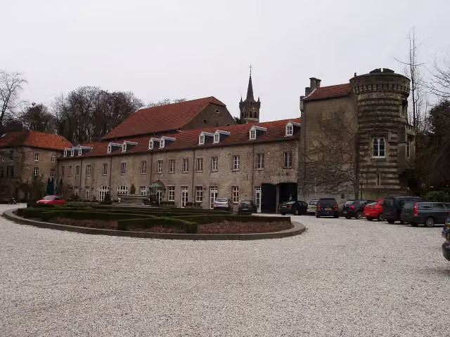 Kasteel ElslooCastle · 6.5 km from the route
- 3
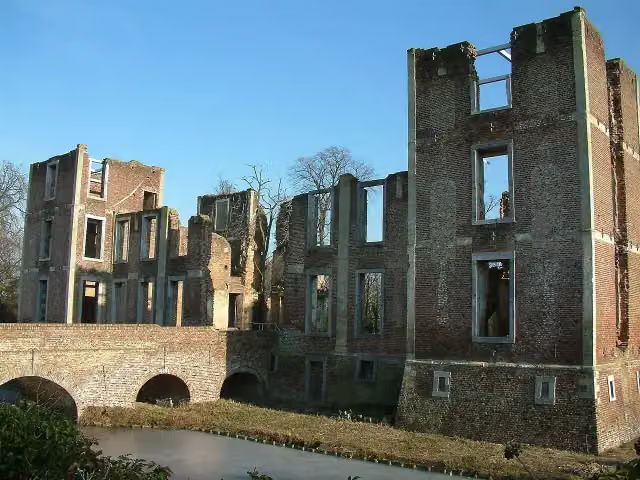 Kasteel BornAttraction · 2.5 km from the route
- 4
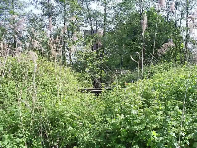 Kasteel MillenCastle · 6.8 km from the route
- 5
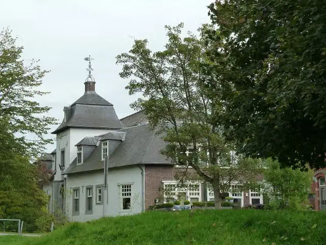 Kasteel SteinCastle · 4.9 km from the route
- 6
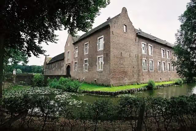 Kasteel TerborghCastle · 9.5 km from the route
- 7
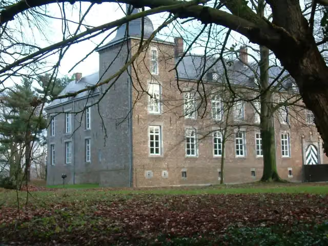 Kasteel WolfrathCastle · 4.8 km from the route
- 8
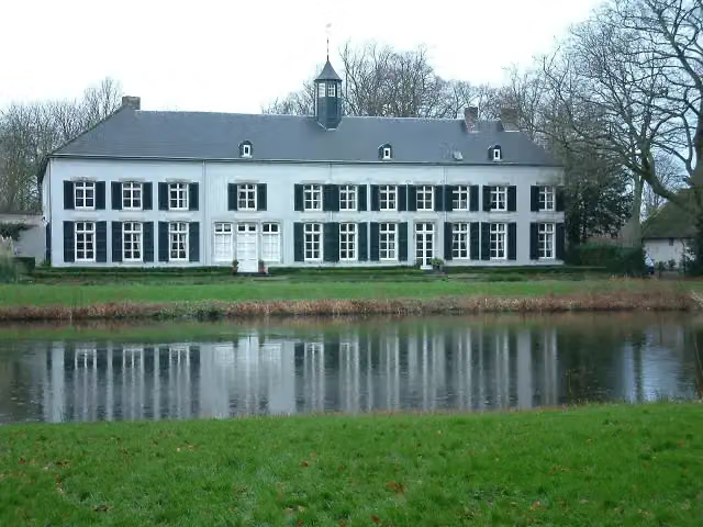 Kasteel GenbroekCastle · 8.2 km from the route
- 9
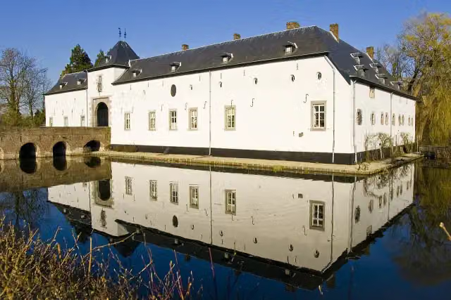 Kasteel GeulleCastle · 9.2 km from the route
- 10
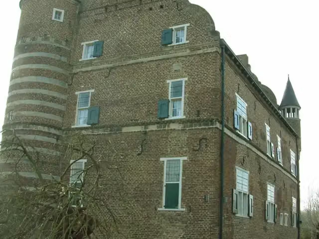 Kasteel GrasbroekCastle · 2.9 km from the route
- 11
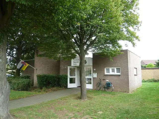 Archeologisch MuseumMuseum · 4.5 km from the route
- 12
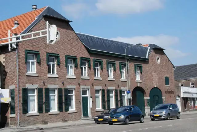 ElsmuseumMuseum · 7.5 km from the route
- 13
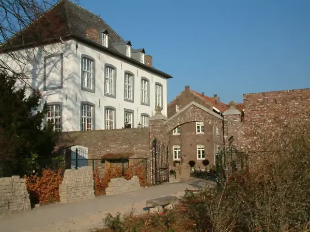 Huize WithamCastle · 5.8 km from the route
- 14
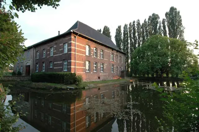 Huis Ten DijckenCastle · 9.4 km from the route
- 15
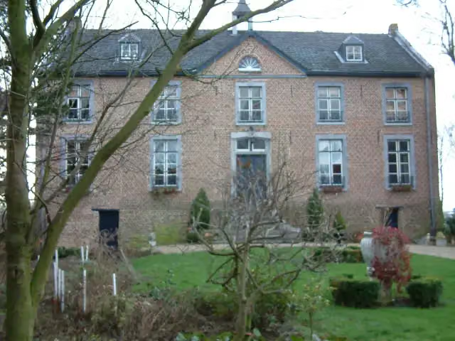 Huize HoltumCastle · 4.4 km from the route
- 16
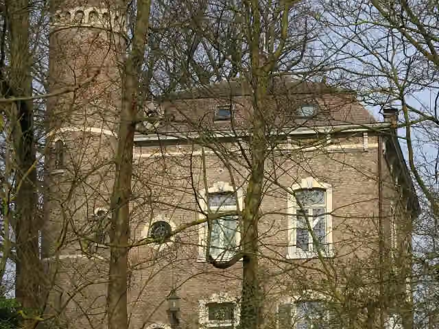 Kasteel CarolinabergCastle · 2 km from the route
- 17
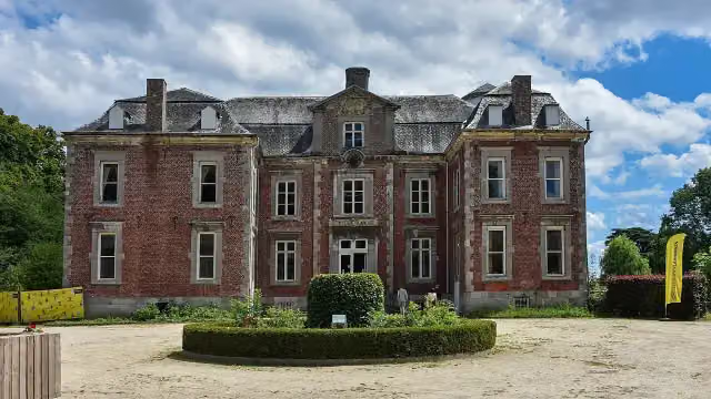 Kasteel Vilain XIIIICastle · 2.1 km from the route
- 18
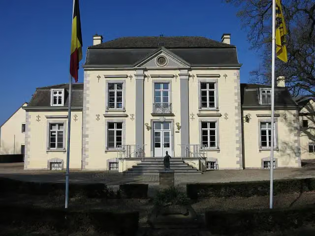 Gemeentehuis Dilsen-StokkemCastle · 3.9 km from the route
- 19
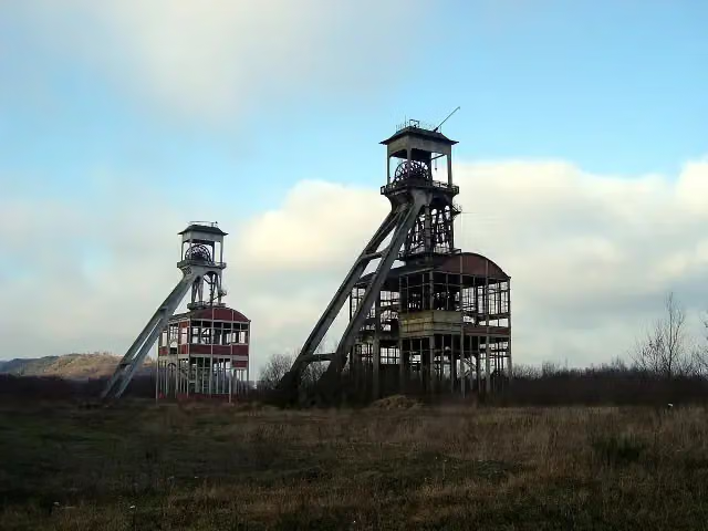 Schachtbok 2 Steenkoolmijn EisdenObservation tower · 4.5 km from the route
- 20
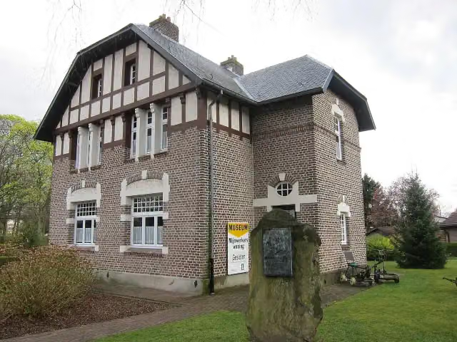 Museum van de MijnwerkerswoningMuseum · 5.9 km from the route
- 21
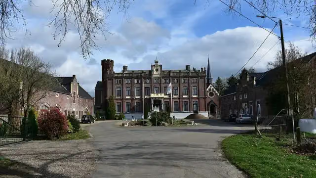 Kasteel SipernauCastle · 6 km from the route
- 22
 Bauernmuseum SelfkantMuseum · 8 km from the route
- 23
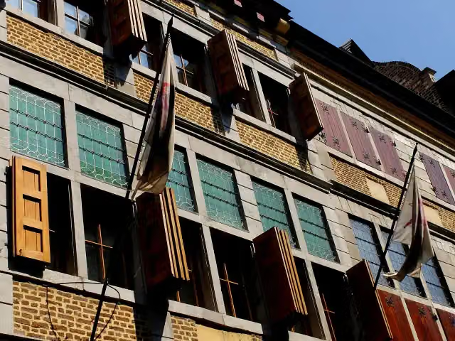 ApotheekmuseumMuseum · 8.1 km from the route
- 24Uitkijktoren Nenenoord-KerkeweerdObservation tower · 1.2 km from the route
- 25Stoel van SwentiboldAttraction · 3 km from the route
Explore more
Frequently asked questions
How long is Rivierpark Maasvallei LAW Hoogwatervariant?
Rivierpark Maasvallei LAW Hoogwatervariant is 2.2 km long. Allow ± 30 min of walking: 4.5 km an hour and 10 minutes more per 100 metres of climbing, without breaks.
Is this route a circular walk?
No, the route starts and ends at different spots.
Where does this route start?
The route starts in Stein.
How hard is this route?
Easy.
Are there toilets along this route?
No, there is no public toilet within 100 m of the route. Go before you start.
Can you fill up with water along this route?
Yes, there are 1 water point within 100 m of the route.
What is there to see along this route?
Along the way you pass Kasteel Obbicht.
Starting point
More routes from this place
Route data © OpenStreetMap contributors





