 Outdoor Pitstop
Mountain bike trail · Echt-Susteren · Updated on 6 November 2026
Montfort mountain bike trail
Montfort is a mountain bike trail of 19.7 km from Echt-Susteren that starts and ends at the same spot. Along the way you'll find 15 benches and picnic tables.
The route step by step
From start to finish, with what you pass along the way and the distance in between.
- 19.7 km
- ± 1:40 h
- ↑ 19 m · ↓ 19 m
- Easy
- Loop
- Local route
- Colour of the signs
Start in Echt-Susteren
0 km5.3 km · bench

Obervatietoren Montfort
5.3 kmObservation tower
14.5 km · 14 benches
Back at the start
19.7 km
No public toilet along the wayThere is no public toilet within 100 m of the route. Go before you start, or find one a bit further away in the app.
The route with the pitstops and sights within 100 m of it.
1 sight along the way
In the order you pass them. With the Outdoor Pitstop app you hear their story on the spot.

Observation tower · after 5.3 km
Elevation and terrain
- Up
- ↑ 19 m
- Down
- ↓ 19 m
- Highest point
- 38 m
- Lowest point
- 26 m
Nowhere steeper than 5%.
Elevation from AHN (Rijkswaterstaat), smoothed.
Way types
19.7 km in total- Path: 12.4 km
- Track: 3.1 km
- Road: 2.2 km
- Cycle path: 675 m
- Busy road: 600 m
- Street: 200 m
Surfaces
19.7 km in total- Unpaved: 13.1 km
- Asphalt: 1.1 km
- Natural: 950 m
- Gravel: 542 m
- Unknown: 3.6 km
About the mountain bike trail Montfort
Updated on 6 November 2026, with data from OpenStreetMap and the AHN.
Where do you ride?
Montfort is a loop of 19.7 km from Echt-Susteren: it starts and ends in the same place. Along the way you pass Obervatietoren Montfort (after 5.3 km).
How hard is the route?
The route is almost flat. You climb 19 m in total and descend 19 m. Allow ± 1:40 h, without breaks. The level is easy.
What trails do you ride on?
The longest part is path (12.4 km), track (3.1 km) and road (2.2 km). Of the surface, 13.1 km unpaved and 1.1 km asphalt. For 3.6 km the surface is not known.
Pitstops along the way
Within 100 metres of the route there are 15 benches and picnic tables. There is no public toilet within 100 metres of the route. The Outdoor Pitstop app navigates you there.
Montfort is a mountain bike trail of almost 20 km in central Limburg, in the municipalities of Roerdalen and Echt-Susteren. You ride across the Het Sweeltje nature area between Montfort and Sint Odiliënberg, with Scots pine woods on old drift-sand dunes and some heath, and through the Rosendaal nature area. Near Montfort there is an observation tower. Two thirds of the route is unpaved, mostly on paths. You follow the blue waymarks clockwise. The trail is run by the Stichting Mountainbike Ontwikkeling Midden-Limburg. We know of no drinking water or toilet on the way.
Mountain bike trails nearby
1Sights nearby
Within 10 km of the route, best known first.
- 1
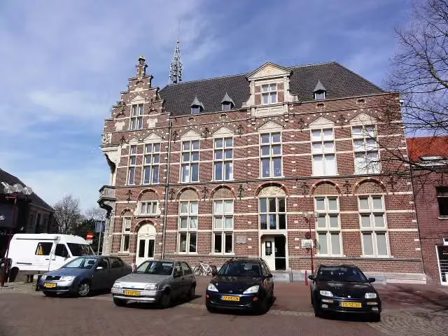 Museum van de VrouwMuseum · 3 km from the route
- 2
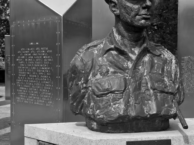 Nationaal Indië MonumentMemorial · 5.4 km from the route
- 3
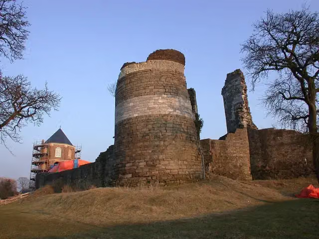 Kasteelruïne MontfortRuins · 472 m from the route
- 4
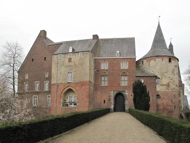 Kasteel HornCastle · 7.4 km from the route
- 5
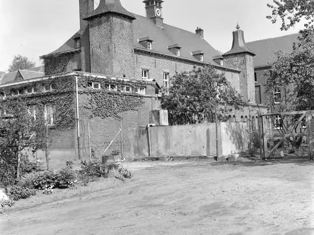 Kasteel ExatenCastle · 8.5 km from the route
- 6
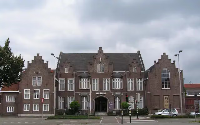 CuypershuisMuseum · 6 km from the route
- 7
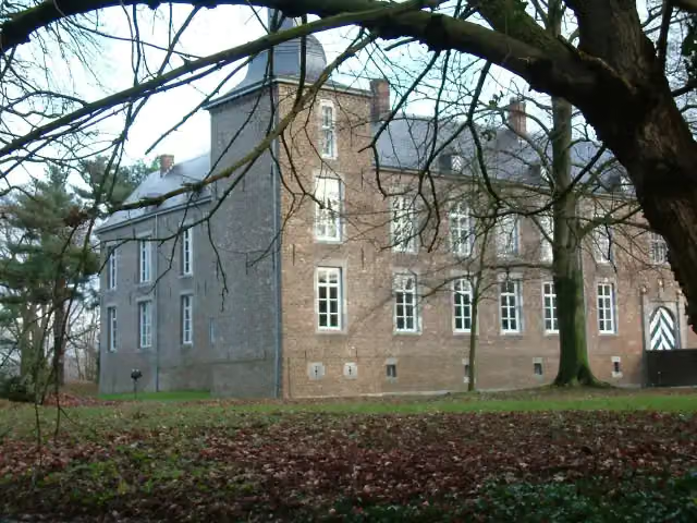 Kasteel WolfrathCastle · 9 km from the route
- 8
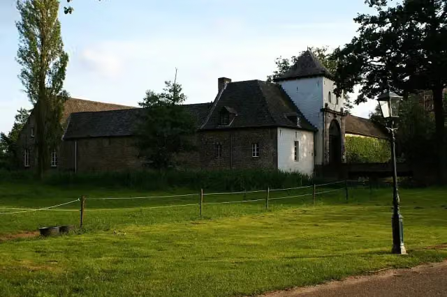 Kasteel DaelenbroeckCastle · 6.9 km from the route
- 9
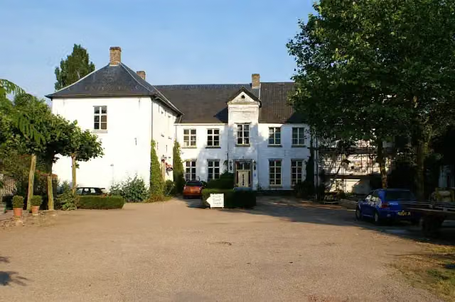 Kasteel BaexemCastle · 8.9 km from the route
- 10
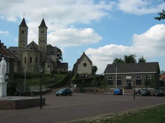 RoerstreekmuseumMuseum · 2.4 km from the route
- 11
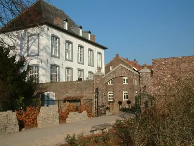 Huize WithamCastle · 9.3 km from the route
- 12
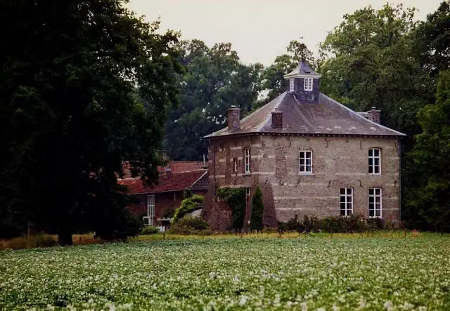 Huis NederhovenCastle · 4.5 km from the route
- 13
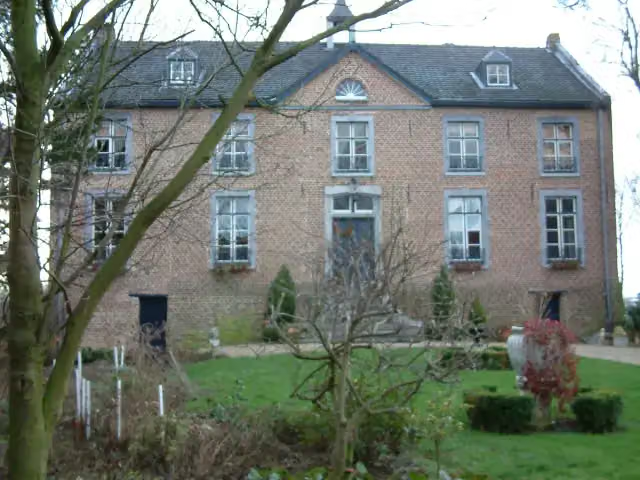 Huize HoltumCastle · 9.2 km from the route
- 14
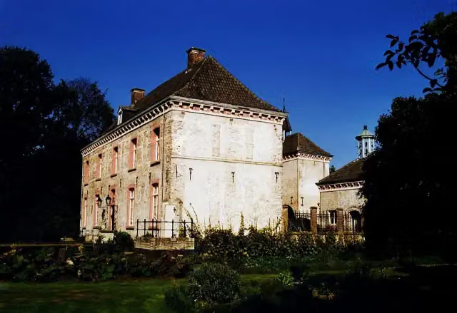 Kasteel Ten HoveCastle · 7.6 km from the route
- 15
 Museum "Terug in de Tijd"Museum · 7.8 km from the route
- 16
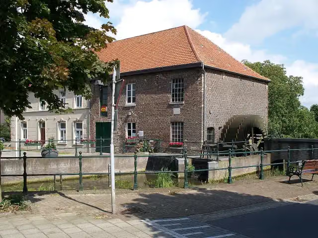 GrathemermolenMuseum · 7.2 km from the route
- 17
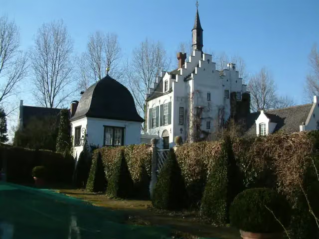 Groot BuggenumCastle · 7.3 km from the route
- 18
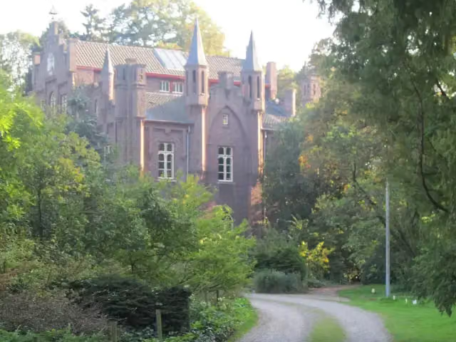 Kasteel AerwinkelCastle · 2.2 km from the route
- 19
 MemorialMemorial · 2.4 km from the route
- 20
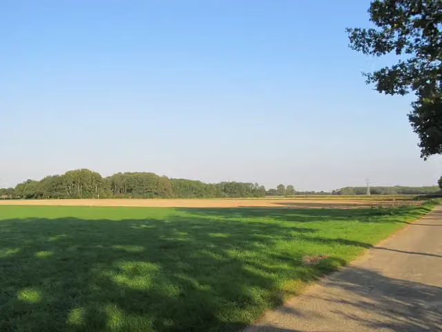 motteheuvel BolbergArchaeological site · 4.7 km from the route
- 21
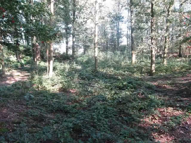 middeleeuwse kasteelheuvel BollebergArchaeological site · 3.5 km from the route
- 22
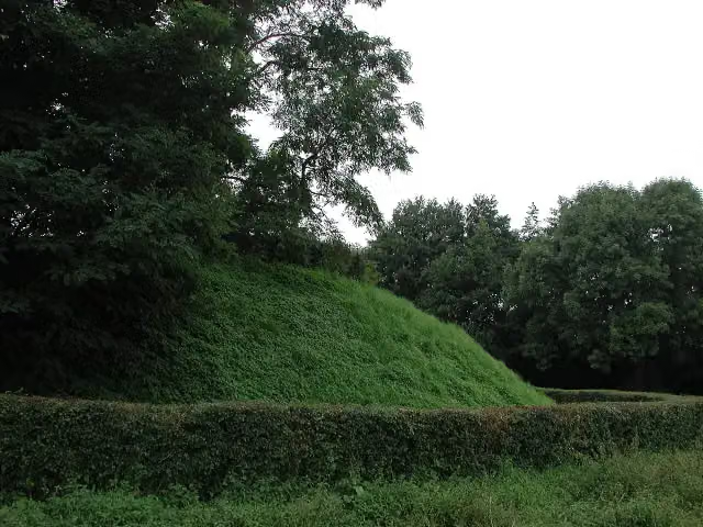 Motte BollerbergArchaeological site · 5.9 km from the route
- 23
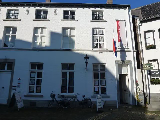 Museum ThornMuseum · 6 km from the route
- 24
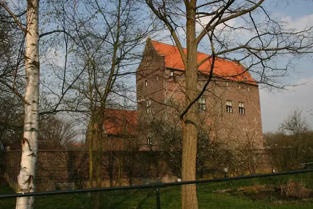 De ThoorenCastle · 7.5 km from the route
- 25
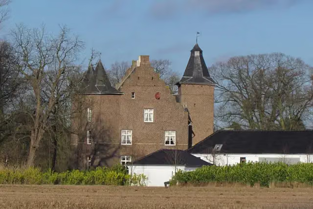 Haus EffeldCastle · 8.2 km from the route
Explore more
More mountain bike trails around Echt-Susteren
Frequently asked questions
How long is Montfort?
Montfort is 19.7 km long. Allow ± 1:40 h of riding: 12 km an hour, without breaks.
Is this route a loop?
Yes, the route starts and ends at the same spot.
Where does this route start?
The route starts in Echt-Susteren.
How hard is this route?
Easy, with 19 m of climbing.
Are there toilets along this route?
No, there is no public toilet within 100 m of the route. Go before you start.
Can you fill up with water along this route?
No, there is no water point within 100 m of the route. Bring enough water.
What is there to see along this route?
Along the way you pass Obervatietoren Montfort.
Starting point
More routes from this place
Route data © OpenStreetMap contributors





