 Outdoor Pitstop
Cycle route · Bischofsgrün · Updated on 14 November 2026
Main-Radweg cycle route
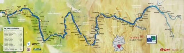
Main-Radweg is a cycle route of 599 km from Bischofsgrün. Along the way you'll find 2,268 benches, 29 water fountains and refill points, 113 public toilets and 31 bike pumps.
i
i
i
The route step by step
From start to finish, with what you pass along the way and the distance in between.
- 599 km
- ± 5:40 h per stage
- ↑ 801 m · ↓ 1,527 m
- Hard per stage
- From A to B
- Regional route
Start in Bischofsgrün
0 kmAt the start: public toilet.
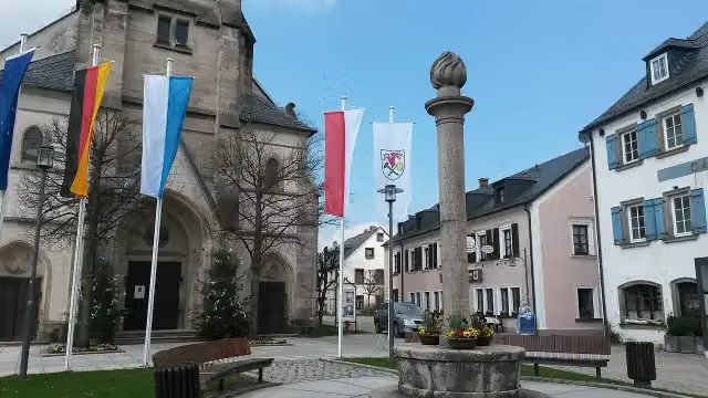
208 m · 6 benches

Gefallenendenkmal
208 mMemorial
264 m · 3 benches
Public toilet
472 m9.3 km · 7 benches
Water point
9.7 km2.1 km · 6 benches
Public toilet
11.9 km13.5 km · 9 benches
Soldatendenkmal Neuenmarkt
25.4 kmMemorial
13.6 km · 15 benches
Public toilet and water point
39 km335 m · 7 benches
Public toilet
39.3 km156 m · 2 benches
Public toilet and water point
39.5 km15.9 km · 44 benches
2 water fountains and refill points
55.3 km2.5 km · bench
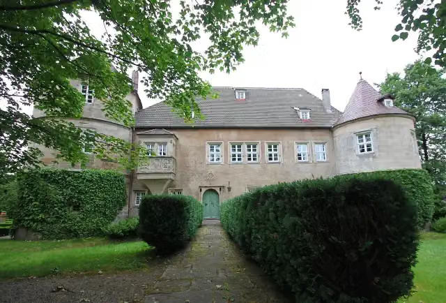
Schloss Unternschreez
57.8 kmCastle
7 km · 23 benches
2 public toilets
64.8 km1.2 km · 15 benches
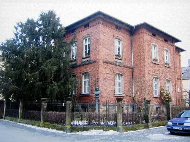
Franz-Liszt-Museum and 3 more
66.1 kmRichard-Wagner-Museum, Ludwig II., Jean-Paul-Museum and public toilet
287 m · bench
Freimaurermuseum
66.4 kmPublic toilet
298 m · 4 benches
Urwelt-Museum and 2 more
66.7 kmMargravial Opera House, Schlosskirche and 3 public toilets
151 m · 14 benches
Iwalewahaus and 1 more
66.8 kmAltes Schloss
245 m · 8 benches
2 public toilets and water point
67.1 km516 m · 10 benches
Public toilet
67.6 km11.1 km · 27 benches
Schloss Neudrossenfeld
78.6 kmCastle
5.7 km · 9 benches
Tanzlinde
84.3 kmAttraction
13 km · 20 benches
Bike pump
97.3 km2.9 km · 17 benches
Water point
100.3 km165 m · 8 benches
Water point
100.4 km1.9 km · 38 benches
4 public toilets
102.3 km274 m · 6 benches
Gärtner- und Häckermuseum
102.6 kmPublic toilet
22.4 km · 40 benches
Schloss Strössendorf
125 kmCastle
8.8 km · 4 benches
Public toilet
133.7 km5.8 km · 15 benches
Sammlung Fossilien des Jura
139.5 kmMuseum
205 m
Stadtschloss
139.7 kmPublic toilet and water point
207 m · 3 benches
Stadtmuseum
139.9 kmMuseum
Show the other 140 steps
8.8 km · 19 benches
Public toilet
148.8 km7.1 km · 14 benches
Water point
155.8 km1.2 km · 6 benches
Bike pump
157.1 km5 km · 5 benches
Schloß Unterleiterbach
162 kmCastle
7.2 km
Public toilet
169.3 km297 m
Marienstatue
169.6 kmMemorial
5.2 km · bench
Water point
174.8 km280 m · 3 benches
Public toilet and water point
175.1 km5.8 km · 39 benches
St. Nepomuk
180.9 kmMemorial
4.7 km · 12 benches
Bike pump
185.6 km6.3 km · 13 benches
Schloss Trunstadt
191.9 kmCastle
8.6 km · 21 benches
Bike pump
200.5 km2.4 km · 7 benches
Water point
202.9 km1.6 km · 5 benches
Public toilet
204.4 km2.4 km · 9 benches
Water point
206.9 km2.6 km · 12 benches
Hexenturm
209.4 kmPublic toilet
4.6 km · 3 benches
2 public toilets
214 km2.5 km · bench
Denkmal für Carl Alexander Heideloff and 2 more
216.6 kmRitterkapelle and Observation tower
411 m · 5 benches
Public toilet
217 km184 m · 3 benches
Public toilet
217.2 km215 m · 6 benches
2 public toilets
217.4 km6.7 km · 7 benches
Bike pump
224.1 km10.1 km · 14 benches
Public toilet and bike pump
234.2 km5 km · 18 benches
Public toilet
239.2 km180 m · bench
Bike pump
239.3 km178 m · 11 benches
Industriedenkmal "Alter Kran"
239.5 km2 public toilets and bike pump
155 m · bench
Naturkundliches Museum and 1 more
239.7 kmMuseum Georg Schäfer and public toilet
241 m · 3 benches
Hafenkran
239.9 kmBike pump
6.1 km · 33 benches
Public toilet
246 km11 km · 13 benches
Public toilet and bike pump
257 km1.7 km · bench
Museum für Militär und Zeitgeschichte
258.7 kmMuseum
2.7 km · 2 benches
Public toilet
261.4 km7.5 km · 9 benches
Public toilet
268.9 km10.8 km · 12 benches
Public toilet
279.7 km4 km · 5 benches
2 public toilets and water point
283.7 km6.4 km · 23 benches
Public toilet
290.1 km3.3 km · 20 benches
Public toilet
293.4 km3.9 km · 6 benches
Public toilet and water point
297.3 km9.9 km · 39 benches
Public toilet and water point
307.2 km501 m · bench
Public toilet and bike pump
307.7 km6.3 km · 16 benches
Trachtenmuseum
314 km2 public toilets
1.6 km · bench
Trias-Museum an der Ochsenfurt
315.7 kmMuseum
4.2 km · 3 benches
Bike pump
319.9 km4.1 km · 26 benches
Public toilet
324 km3.2 km · 16 benches
Public toilet
327.2 km278 m · 7 benches
Kriegerdenkmal
327.5 kmMemorial
1.7 km · 5 benches
Public toilet
329.1 km812 m · 19 benches
Public toilet
330 km1.1 km · 23 benches
Bike pump
331 km1.9 km · 23 benches
Gartenpavillon des ehemaligen Augustinerklosters
332.9 kmPublic toilet
339 m · 5 benches
2 public toilets, water point and bike pump
333.2 km154 m · 9 benches
Old Main Bridge
333.4 kmPublic toilet
565 m · 21 benches
3 public toilets and water point
333.9 km303 m · 4 benches
Bike pump
334.2 km1.1 km · 2 benches
Bike pump
335.3 km686 m · 11 benches
2 public toilets
336 km2.4 km · 12 benches
Hausmadonna
338.5 kmMemorial
160 m · 2 benches
Hausmadonna and 1 more
338.6 kmPietà and water point
2.5 km · 46 benches
Public toilet
341.1 km323 m
Bike pump
341.4 km782 m · 3 benches
Public toilet
342.2 km198 m · bench
Public toilet
342.4 km10.9 km · 18 benches
Water point
353.3 km637 m · 2 benches
Public toilet
354 km4.4 km · 10 benches
Public toilet
358.3 km2.3 km · 13 benches
Public toilet
360.6 km158 m
Stadtgeschichtliches Museum Karlstadt
360.8 kmBike pump
211 m · 2 benches
Public toilet
361 km14.9 km · 26 benches
Water point
375.9 km159 m · 11 benches
Public toilet, water point and bike pump
376 km3.3 km · 9 benches
Water point
379.3 km19.9 km · 75 benches
Public toilet
399.2 km9.2 km · 29 benches
Public toilet
408.5 km768 m · 13 benches
Public toilet
409.2 km5.4 km · 10 benches
2 public toilets
414.6 km2.4 km · 4 benches
Burg Homburg
417.1 kmPublic toilet
13.7 km · 20 benches
Schlösschen im Hofgarten
430.7 kmCastle
1.8 km · 8 benches
Public toilet and bike pump
432.5 km12.8 km · 39 benches
Bike pump
445.4 km3.6 km · 19 benches
Public toilet
449 km4.4 km · 11 benches
Bundsandstein Geschichten
453.3 kmPublic toilet
4 km · 14 benches
Bike pump
457.3 km6.4 km · 25 benches
Public toilet
463.7 km1.5 km · 16 benches
Public toilet
465.3 km420 m · 8 benches
Public toilet
465.7 km384 m · 28 benches
Public toilet and bike pump
466.1 km247 m · 18 benches
Public toilet
466.3 km421 m · 13 benches
Public toilet
466.7 km1.4 km · 7 benches
Kastell Miltenberg-Altstadt
468.1 kmPublic toilet
2.7 km · 11 benches
Public toilet
470.8 km441 m · 8 benches
2 water fountains and refill points
471.2 km4.3 km · 23 benches
Alter Kirchhof Grubingen
475.5 kmRuins
3.2 km · 14 benches
St. Johannes Nepomuk
478.6 kmMemorial
414 m · 8 benches
Public toilet
479.1 km854 m · 15 benches
Public toilet
479.9 km503 m
Public toilet
480.4 km1.3 km · 8 benches
Schifffahrts- und Schiffbaumuseum
481.8 kmMuseum
6.1 km · 13 benches
Public toilet
487.9 km170 m · 9 benches
Bike pump
488.1 km4.5 km · 33 benches
Public toilet
492.5 km8.7 km · 19 benches
Water point
501.3 km4.3 km · 11 benches
Water point
505.6 km773 m · 3 benches
Public toilet
506.3 km894 m · 37 benches
Pompejanum
507.2 kmMuseum
5.6 km · 28 benches
Bike pump
512.8 km2.8 km · 31 benches
Public toilet
515.6 km4.3 km · 8 benches
Bike pump
519.9 km3.9 km · 16 benches
Bike pump
523.7 km250 m · 5 benches
Public toilet
524 km266 m · 22 benches
Public toilet
524.2 km314 m · 25 benches
Pulverturm
524.6 kmAttraction
11.7 km · 19 benches
Museum Schloss Steinheim
536.2 kmMuseum
10.2 km · 46 benches
Rumpenheimer Schloss
546.4 kmCastle
6 km · 52 benches
Public toilet
552.4 km495 m · 2 benches
Isenburger Schloss
552.9 kmCastle
283 m · 5 benches
Lili-Tempel and 1 more
553.2 kmLilitempel
5.4 km · 43 benches
Public toilet and bike pump
558.6 km170 m · 5 benches
Hindemith Kabinett im Kuhhirtenturm and 2 more
558.8 kmKuhhirtenturm (Elefant), Ikonen-Museum and water point
196 m · 2 benches
Portikus
559 kmMuseum
156 m · 4 benches
Dreikönigskirche and 1 more
559.1 kmUlrichstein marking
170 m · 7 benches
Public toilet
559.3 km181 m
Museum Angewandte Kunst and 1 more
559.5 kmWeltkulturen Museum
270 m · 9 benches
Deutsches Filminstitut Filmmuseum and 1 more
559.8 kmDeutsches Architekturmuseum
151 m · 2 benches
Museum für Kommunikation
559.9 kmMuseum
199 m · 6 benches
Städel Museum and 1 more
560.1 kmHolbeinsteg
222 m · 2 benches
Liebieghaus Skulpturensammlung and 1 more
560.3 kmMuseum Giersch der Goethe-Universität and public toilet
2.1 km · 42 benches
Public toilet
562.4 km177 m · 3 benches
Public toilet
562.6 km5.3 km · 38 benches
Public toilet
567.9 km3.6 km · 9 benches
Public toilet
571.5 km6.4 km · 16 benches
Bike pump
577.9 km2.8 km · 6 benches
Bike pump
580.7 km4.6 km · 11 benches
Bike pump
585.4 km171 m · 10 benches
Public toilet
585.5 km5.4 km · 19 benches
Königin-Victoria-Denkmal
590.9 kmMemorial
4.8 km · 11 benches
Aussichtsturm am Mainhafen
595.8 kmObservation tower
1.2 km · 37 benches
Public toilet
596.9 km1.1 km · 25 benches
Public toilet
598 km265 m · 2 benches
2 public toilets
598.2 km731 m · 13 benches
Finish
599 kmAt the finish: Reduit and Museum Castellum.
Longest stretch without a toilet: 34.7 kmBetween 67.6 km and 102.3 km there is no public toilet within 100 m of the route.
The route with the water points, toilets and sights within 100 m of it.
75 sights along the way
In the order you pass them. With the Outdoor Pitstop app you hear their story on the spot. 67 more along the route are on the map.
i
Photo: Lucorient · Wikimedia Commons · CC BY-SA 4.0View the photo on Wikimedia CommonsMemorial · after 208 m

Memorial · after 25.4 km
i
Photo: Benreis · Wikimedia Commons · CC BY-SA 4.0View the photo on Wikimedia CommonsCastle · after 57.8 km
i
Photo: GertGrer · Wikimedia Commons · CC BY-SA 3.0View the photo on Wikimedia CommonsMuseum · after 66.1 km
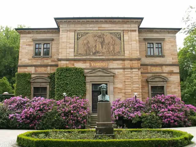 Audio story · 2 min
i
Photo: Wikimedia Commons · Wikimedia Commons · CC BY-SA 3.0View the photo on Wikimedia CommonsRichard-Wagner-Museum
Museum · after 66.1 km
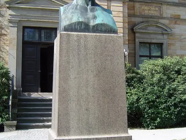
Memorial · after 66.1 km
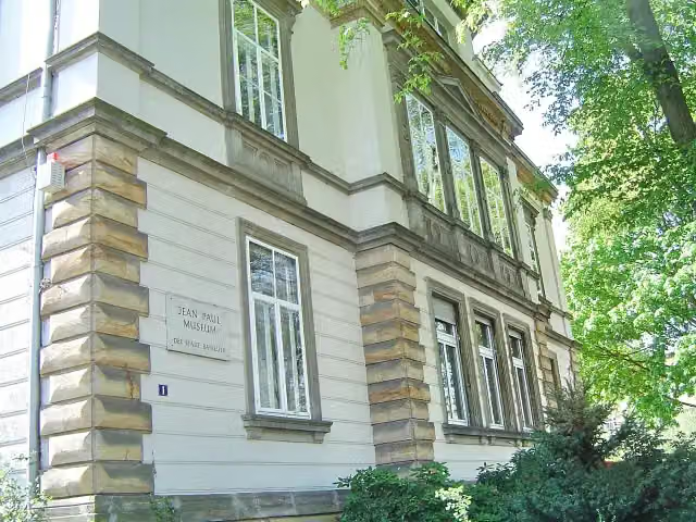
i
Photo: Bayreuth2009 · Wikimedia Commons · CC BY 3.0View the photo on Wikimedia CommonsMuseum · after 66.2 km
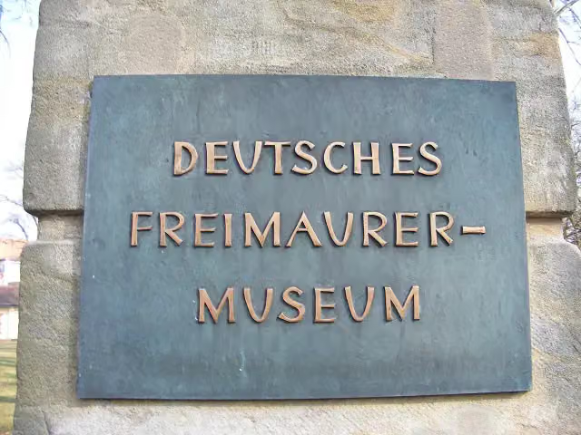
Museum · after 66.4 km
Stages (7)
- 1Abschnitt 1 "Bischofsgrün bis Kulmbach" (Weißer Main)43.6 km
- 2Abschnitt 2 "Creußen bis Kulmbach" (Roter Main)53.7 km
- 3Abschnitt 4 - Alternativroute durch Bamberg9.7 km
- 4Abschnitte 3 bis 9324.6 km
- 5Abschnitt 10 "Wertheim bis Miltenberg"34 km
- 6Abschnitt 11 "Miltenberg bis Aschaffenburg"41.4 km
- 7Abschnitte 12 und 1392 km
Elevation and terrain
- Up
- ↑ 801 m
- Down
- ↓ 1,527 m
- Highest point
- 680 m
- Lowest point
- 83 m
- 5-10% slope · 4.7 km
- 10-15% slope · 101 m
- 20% slope or steeper · 589 m
- 1 flight of stairs
Elevation from Copernicus GLO-30 (European Union and ESA), smoothed.
produced using Copernicus WorldDEM-30 © DLR e.V. 2010-2014 and © Airbus Defence and Space GmbH 2014-2018 provided under COPERNICUS by the European Union and ESA; all rights reserved
Way types
599 km in total- Path: 265.3 km
- Track: 91.8 km
- Street: 85.5 km
- Road: 76.7 km
- Cycle path: 65.5 km
- Busy road: 6.7 km
- Footpath (walk your bike): 6 km
- Steps (carry your bike): 1 flight of stairs
- Unknown: 150 m
Surfaces
599 km in total- Asphalt: 541.8 km
- Paved: 27.8 km
- Gravel: 21 km
- Unpaved: 25 m
- Unknown: 7 km
About the cycle route Main-Radweg
Updated on 14 November 2026, with data from OpenStreetMap, the AHN and Copernicus.
Where do you cycle?
Main-Radweg is a cycle route of 599 km that starts in Bischofsgrün. It does not end where it starts. Along the way you pass Gefallenendenkmal (after 208 m), Soldatendenkmal Neuenmarkt (after 25.4 km) and Schloss Unternschreez (after 57.8 km).
How hard is the route?
You climb 801 m in total and descend 1,527 m. There is 1 flight of steps along the way. Allow ± 5:40 h per stage, without breaks. Per stage the level is hard.
What roads do you cycle on?
The longest part is path (265.3 km), track (91.8 km) and street (85.5 km). Of the surface, 541.8 km asphalt and 27.8 km paved. For 7 km the surface is not known.
Pitstops along the way
Within 100 metres of the route there are 2,268 benches, 29 water fountains and refill points, 113 public toilets and 31 bike pumps. The longest stretch without a toilet is 34.7 km. The Outdoor Pitstop app navigates you there.
The Main-Radweg is a 599 km long-distance cycle route in Bavaria and Hesse, from the sources of the White Main on the Ochsenkopf near Bischofsgrün and of the Red Main in Creussen to where the river flows into the Rhine at Mainz. The two headwaters join at Kulmbach; from there the route runs via Bamberg, Schweinfurt, Würzburg, Wertheim, Miltenberg, Aschaffenburg and Frankfurt. In Bayreuth it passes the Margravial Opera House, and in Würzburg the Old Main Bridge. 91 per cent is asphalt. We know of 113 toilets, 31 bike pumps and 29 drinking water points along the route.
Source: Wikipedia (CC BY-SA)
Cycle routes nearby
6- Fichtelnaab-RadwegModerate · From A to B53.7 km
- Saar-Mosel-Main [Kulmbach - Schirnding]Hard · From A to B113.4 km
- Siebenstern-RadwegHard · Circular ride153.7 km
- Euregio-Egrensis-Radfernweg [DE-BY (Bayern)]Hard · From A to B209.5 km
- Radrunde OberfrankenHard · From A to B295.1 km
- EV4 Germany, Bayreuth - borderHard · From A to B83.6 km
Sights nearby
Within 10 km of the route, best known first.
- 1
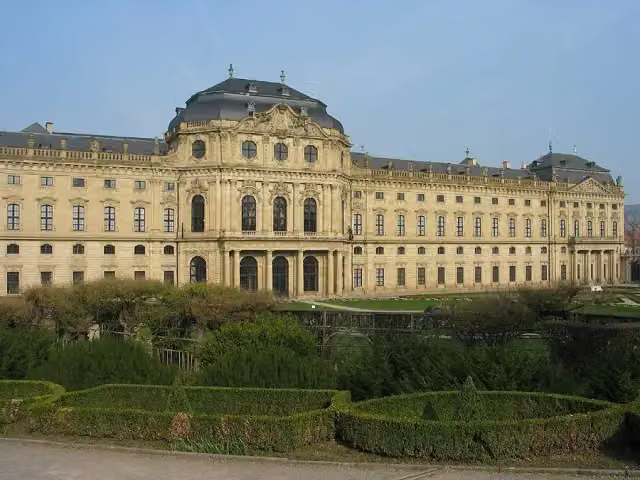 Würzburg ResidenceAttraction · 765 m from the route
- 2
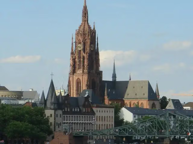 Imperial Cathedral of Saint BartholomewAttraction · 344 m from the route
- 3
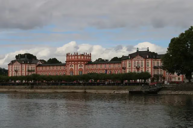 Biebrich PalaceAttraction · 4.9 km from the route
- 4
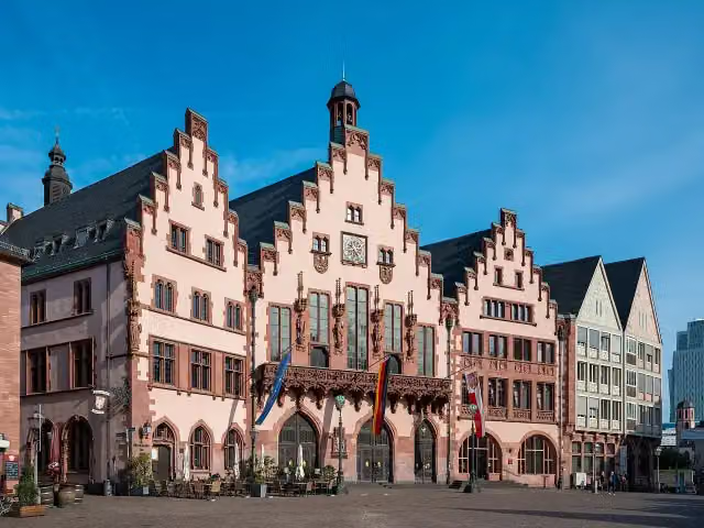 RömerAttraction · 354 m from the route
- 5
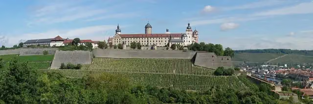 Marienberg FortressAttraction · 530 m from the route
- 6
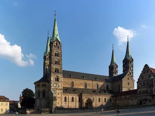 Bamberg CathedralAttraction · 924 m from the route
- 7
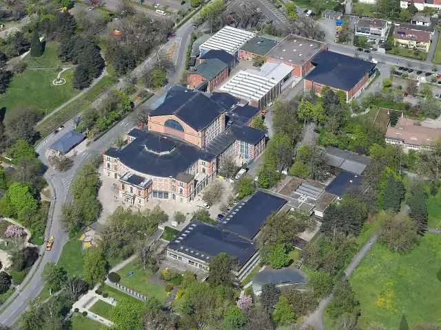 FestspielhausAttraction · 1.4 km from the route
- 8
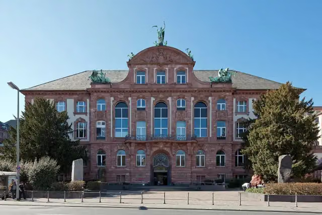 Senckenberg NaturmuseumMuseum · 2.2 km from the route
- 9
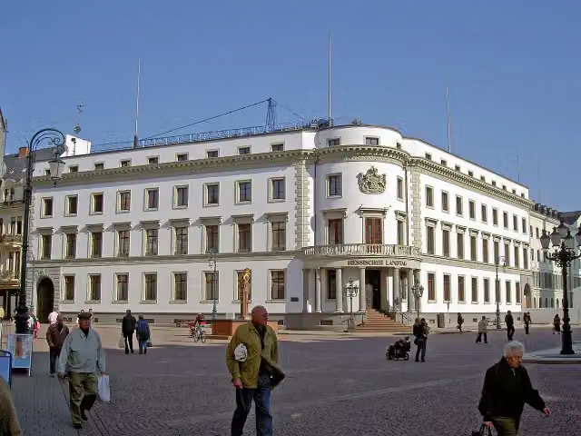 Stadtschloss WiesbadenCastle · 9.1 km from the route
- 10
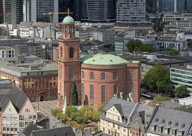 St. Paul's ChurchAttraction · 455 m from the route
- 11
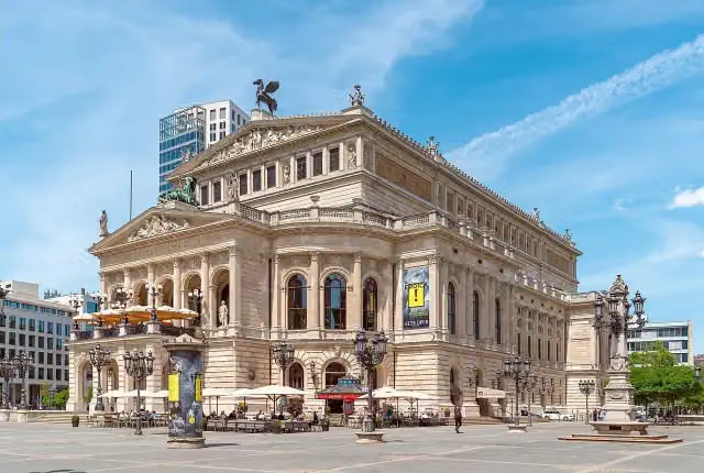 Alte OperAttraction · 1.2 km from the route
- 12
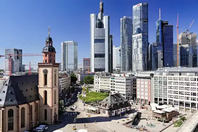 HauptwacheAttraction · 748 m from the route
- 13
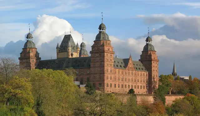 Schloss JohannisburgAttraction · 112 m from the route
- 14
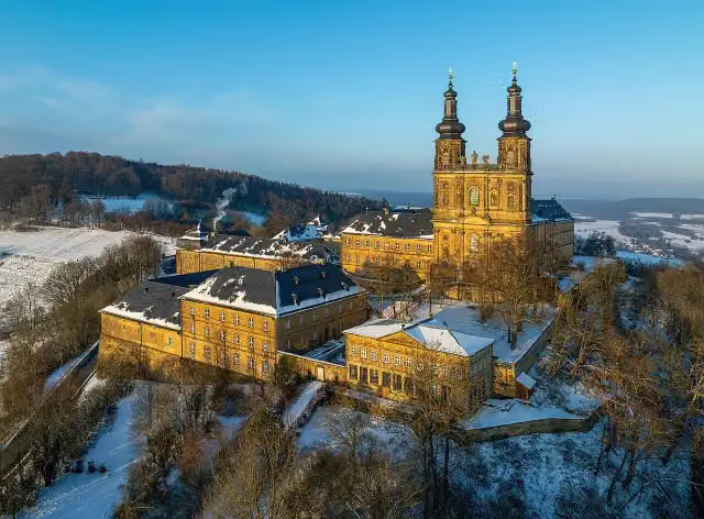 Kloster BanzAttraction · 1.5 km from the route
- 15
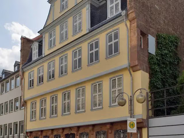 Goethe HouseAttraction · 560 m from the route
- 16
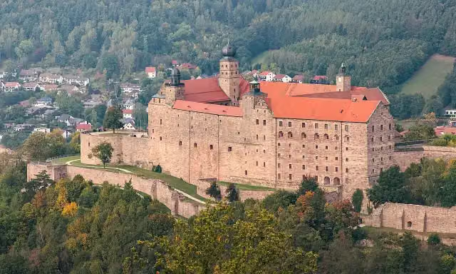 PlassenburgAttraction · 329 m from the route
- 17
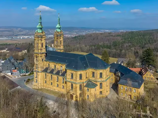 Basilika VierzehnheiligenAttraction · 1 km from the route
- 18
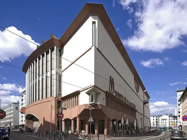 Museum MMKMuseum · 492 m from the route
- 19
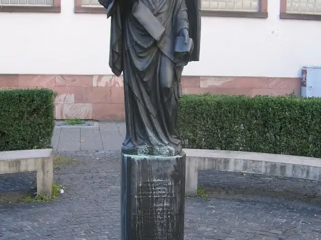 Frankfurter EngelMemorial · 1 km from the route
- 20
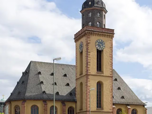 St. Catherine's ChurchAttraction · 698 m from the route
- 21
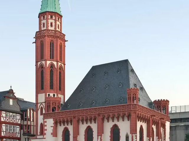 Old St. Nicholas ChurchAttraction · 283 m from the route
- 22
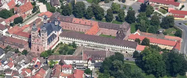 Abbey ChurchAttraction · 6.6 km from the route
- 23
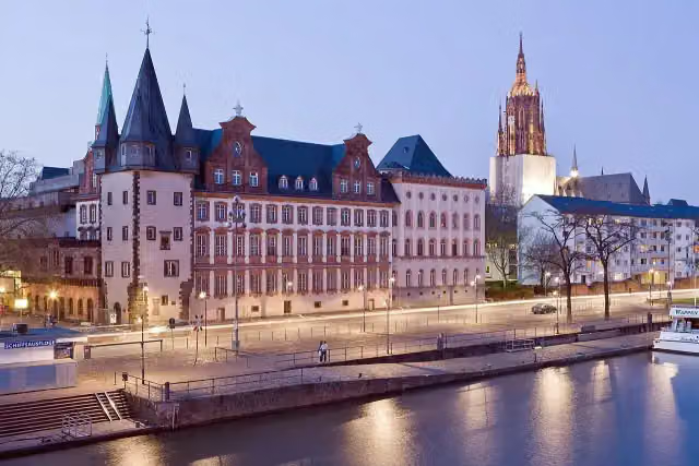 Historical Museum FrankfurtMuseum · 243 m from the route
- 24
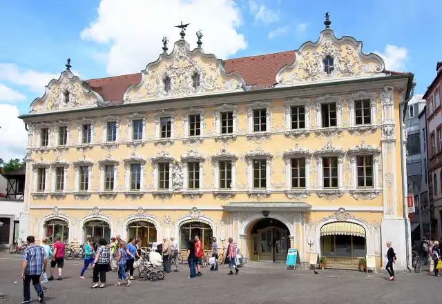 FalkenhausAttraction · 251 m from the route
- 25
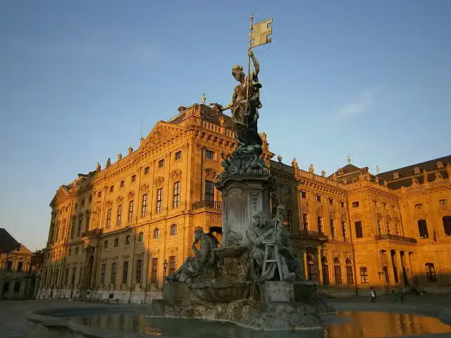 FrankoniabrunnenAttraction · 699 m from the route
Explore more
Frequently asked questions
How long is Main-Radweg?
Main-Radweg is 599 km long, in 7 parts of 85.6 km on average. Allow ± 5:40 h per part of riding: 15 km an hour, without breaks.
Is this route a circular ride?
No, the route starts and ends at different spots.
Where does this route start?
The route starts in Bischofsgrün.
How hard is this route?
Hard per stage, with 114 m per stage of climbing.
Are there toilets along this route?
Yes, there are 113 public toilets within 100 m of the route. The longest stretch without a toilet is 34.7 km.
Can you fill up with water along this route?
Yes, there are 29 water fountains and refill points within 100 m of the route.
What is there to see along this route?
Along the way you pass Gefallenendenkmal, Soldatendenkmal Neuenmarkt and Schloss Unternschreez.
Can I download this route as a GPX file?
Yes. Sign in with your Outdoor Pitstop account and choose Download GPX at the top of this page: 10 routes a month for free, unlimited with Pro.
Starting point
More routes from this place
Route data © OpenStreetMap contributors





