 Outdoor Pitstop
Cycle route · Rosenthal am Rennsteig · Updated on 14 November 2026
Euregio-Egrensis-Radfernweg [DE-BY (Bayern)] cycle route
Euregio-Egrensis-Radfernweg [DE-BY (Bayern)] is a cycle route of 209.5 km from Rosenthal am Rennsteig. Along the way you'll find 313 benches, 5 water fountains and refill points, 17 public toilets and 2 bike pumps.
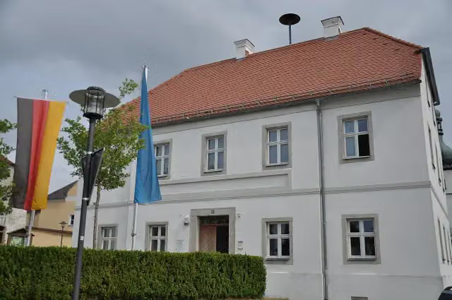
i
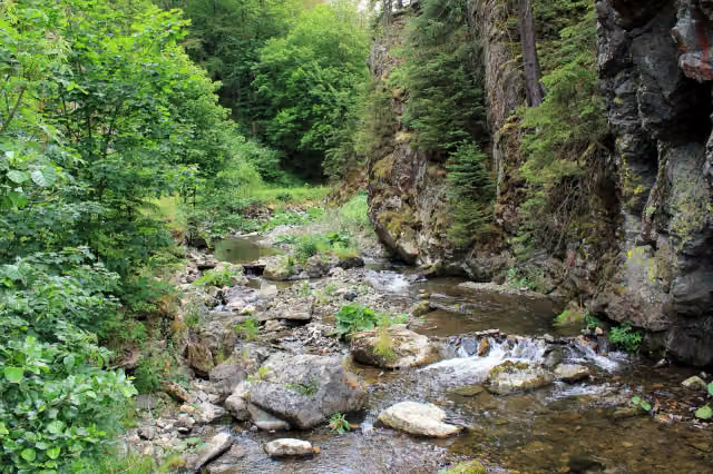
i
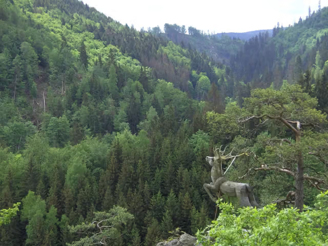
i
The route step by step
From start to finish, with what you pass along the way and the distance in between.
- 209.5 km
- ± 14:00 h
- ↑ 3,183 m · ↓ 2,851 m
- Hard
- From A to B
- Regional route
Start in Rosenthal am Rennsteig
0 km291 m · bench
Public toilet
291 m3.3 km · 15 benches
Public toilet
3.6 km3.5 km · 12 benches
Public toilet
7.1 km558 m · bench
Public toilet
7.7 km18.3 km · 25 benches
Water point
26 km13.6 km · 5 benches
Public toilet
39.6 km25.9 km · 8 benches

Bergbaumuseum Kupferberg
65.5 kmMuseum
4.4 km · 14 benches
Wirsberger Burg
69.9 kmCastle
3.2 km · 27 benches
Burgstall Rabenstein
73.1 kmCastle
16.5 km · 27 benches
Water point
89.6 km9.2 km · 7 benches
Public toilet
98.8 km263 m · 4 benches
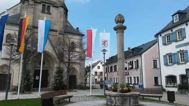
Gefallenendenkmal
99 kmMemorial
170 m · 2 benches
Public toilet
99.2 km6.8 km · 19 benches
Public toilet and bike pump
106 km2.6 km · 2 benches
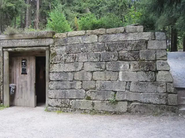
Besucherbergwerk Gleißinger Fels
108.6 kmAttraction
17.2 km · 39 benches
Public toilet
125.7 km244 m · 2 benches
Public toilet
126 km747 m
Water point
126.7 km9.6 km · 22 benches
2 public toilets and water point
136.3 km391 m · 2 benches
2 public toilets
136.7 km12.6 km · 20 benches
Public toilet
149.2 km8.8 km · 10 benches
Water point
158 km4.2 km · 14 benches
Public toilet
162.2 km266 m · 3 benches
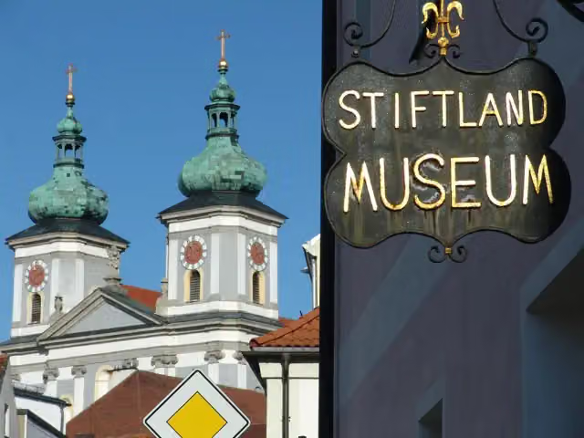
Stiftlandmuseum
162.5 kmMuseum
19.4 km · 4 benches
Bike pump
181.9 km198 m · 2 benches
Public toilet
182.1 km1.6 km · 6 benches
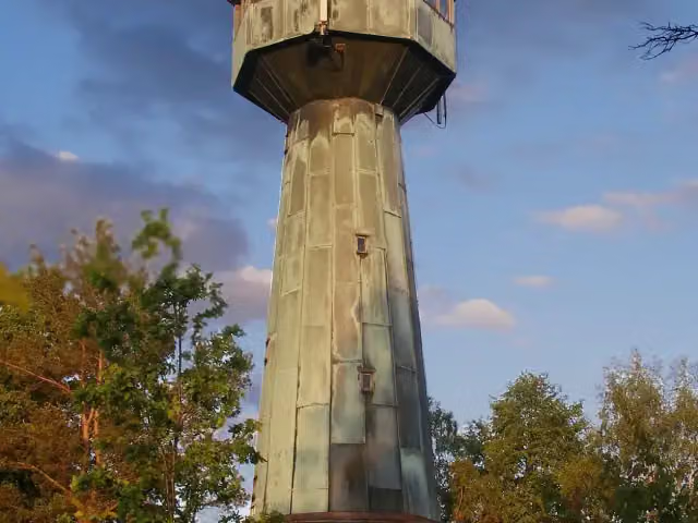
Grenzlandturm
183.7 kmViewpoint
15 km · 12 benches
Gelebtes Museum Mähring
198.7 kmMuseum
10.8 km · 8 benches
Finish
209.5 km
Longest stretch without a toilet: 59.1 kmBetween 39.6 km and 98.8 km there is no public toilet within 100 m of the route.
The route with the pitstops and sights within 100 m of it.
8 sights along the way
In the order you pass them. With the Outdoor Pitstop app you hear their story on the spot.
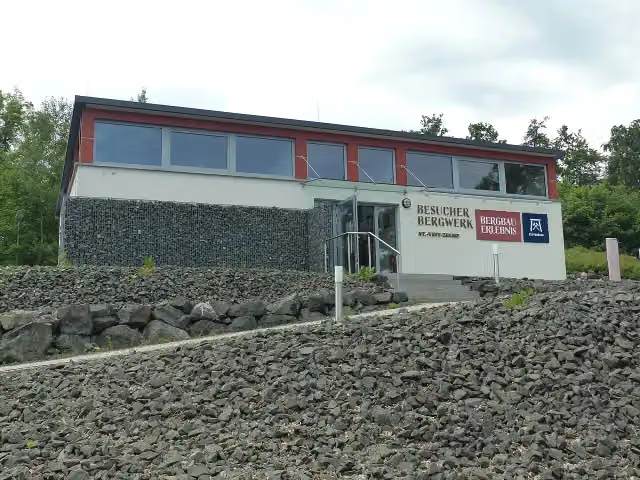
i
Photo: PeterBraun74 · Wikimedia Commons · CC BY-SA 4.0View the photo on Wikimedia CommonsMuseum · after 65.5 km

Castle · after 69.9 km
Castle · after 73.1 km
i
Photo: Lucorient · Wikimedia Commons · CC BY-SA 4.0View the photo on Wikimedia CommonsMemorial · after 99 km
i
Photo: PeterBraun74 · Wikimedia Commons · CC BY-SA 3.0View the photo on Wikimedia CommonsAttraction · after 108.6 km
i
Photo: Walter J. Pilsak, Waldsassen · Wikimedia Commons · CC BY-SA 3.0View the photo on Wikimedia CommonsMuseum · after 162.5 km
i
Photo: Richard Huber · Wikimedia Commons · CC BY 3.0View the photo on Wikimedia CommonsViewpoint · after 183.7 km
i
Photo: Rujuh · Wikimedia Commons · CC BY-SA 4.0View the photo on Wikimedia CommonsMuseum · after 198.7 km
Elevation and terrain
- Up
- ↑ 3,183 m
- Down
- ↓ 2,851 m
- Highest point
- 775 m
- Lowest point
- 360 m
- 5-10% slope · 26.3 km
Elevation from Copernicus GLO-30 (European Union and ESA), smoothed.
produced using Copernicus WorldDEM-30 © DLR e.V. 2010-2014 and © Airbus Defence and Space GmbH 2014-2018 provided under COPERNICUS by the European Union and ESA; all rights reserved
Way types
209.5 km in total- Road: 87.2 km
- Track: 62 km
- Street: 26.8 km
- Busy road: 14.7 km
- Path: 12.7 km
- Cycle path: 5.2 km
- Footpath (walk your bike): 525 m
Surfaces
209.5 km in total- Asphalt: 98.5 km
- Gravel: 38.5 km
- Paved: 8.2 km
- Unpaved: 250 m
- Unknown: 63.6 km
About the cycle route Euregio-Egrensis-Radfernweg [DE-BY (Bayern)]
Updated on 14 November 2026, with data from OpenStreetMap, the AHN and Copernicus.
Where do you cycle?
Euregio-Egrensis-Radfernweg [DE-BY (Bayern)] is a cycle route of 209.5 km that starts in Rosenthal am Rennsteig. It does not end where it starts. Along the way you pass Bergbaumuseum Kupferberg (after 65.5 km), Wirsberger Burg (after 69.9 km) and Burgstall Rabenstein (after 73.1 km).
How hard is the route?
You climb 3,183 m in total and descend 2,851 m. Allow ± 14:00 h, without breaks. The level is hard.
What roads do you cycle on?
The longest part is road (87.2 km), track (62 km) and street (26.8 km). Of the surface, 98.5 km asphalt and 38.5 km gravel. For 63.6 km the surface is not known.
Pitstops along the way
Within 100 metres of the route there are 313 benches, 5 water fountains and refill points, 17 public toilets and 2 bike pumps. You can fill your bottle after 26 km, after 89.6 km, after 126.7 km, after 136.3 km and after 158 km. The longest stretch without a toilet is 59.1 km. The Outdoor Pitstop app navigates you there.
Part of Euregio-Egrensis-Radfernweg Bayern-Thüringen-Sachsen-Böhmen
Website of the routeCycle routes nearby
6- Euregio-Egrensis-Radfernweg [DE-TH (Thüringen)]Hard · From A to B121.6 km
- Radrunde OberfrankenHard · From A to B295.1 km
- EuroVelo 13 - Iron Curtain Trail - part 10Hard · From A to B303.6 km
- Rennsteig-RadwanderwegHard · From A to B199.2 km
- [D11] Ostsee-Oberbayern 10 [Oberfranken Nord]Hard · From A to B102.8 km
- Saaleradweg Etappe 3 - Von Blankenstein nach ZiegenrückModerate · From A to B44 km
Sights nearby
Within 10 km of the route, best known first.
- 1
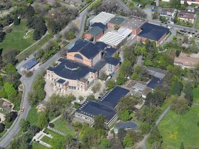 FestspielhausAttraction · 9.7 km from the route
- 2
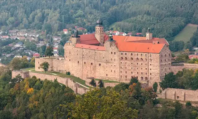 PlassenburgAttraction · 8.8 km from the route
- 3
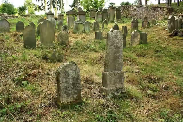 židovský hřbitovRuins · 7.6 km from the route
- 4
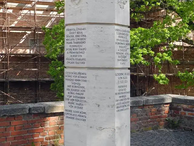 Štaufský sloupMemorial · 8 km from the route
- 5
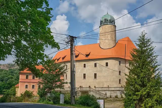 zámek LibáCastle · 8.6 km from the route
- 6
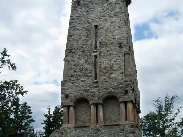 Bismarckova rozhlednaObservation tower · 5 km from the route
- 7
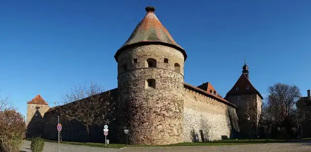 Burg HohenbergCastle · 5.3 km from the route
- 8
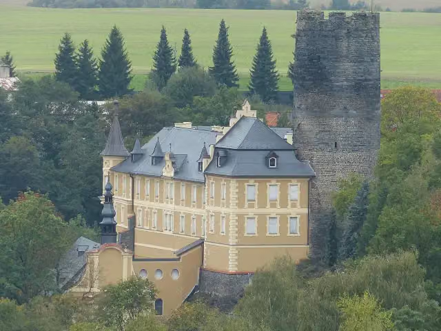 Starý HrozňatovCastle · 5.6 km from the route
- 9
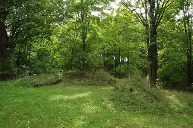 zřícenina hradu BoršengrýnRuins · 7.7 km from the route
- 10
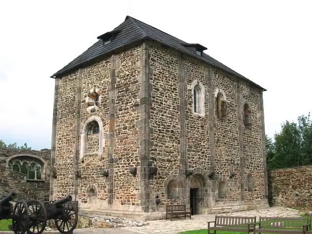 Cheb CastleAttraction · 8 km from the route
- 11
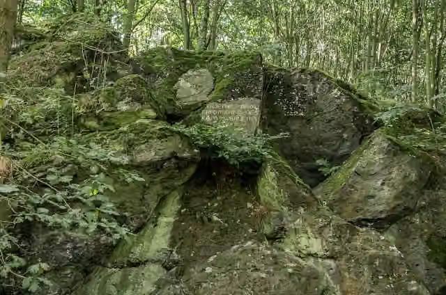 Komorní hůrkaAttraction · 8.8 km from the route
- 12
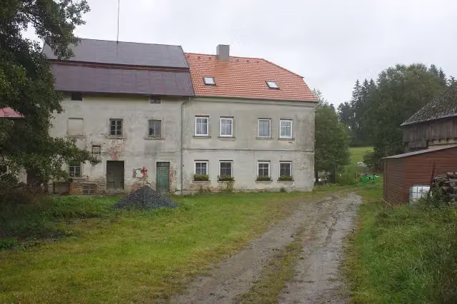 Lorencův mlýnAttraction · 9.2 km from the route
- 13
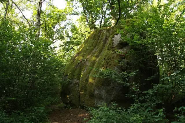 Kynžvartský kámenAttraction · 9.7 km from the route
- 14
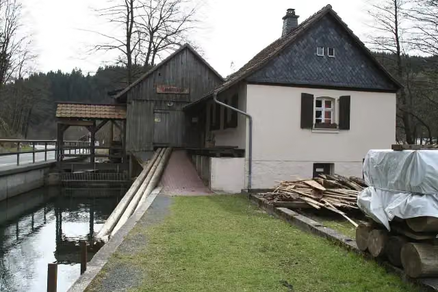 Teichmühle SteinwiesenMuseum · 95 m from the route
- 15
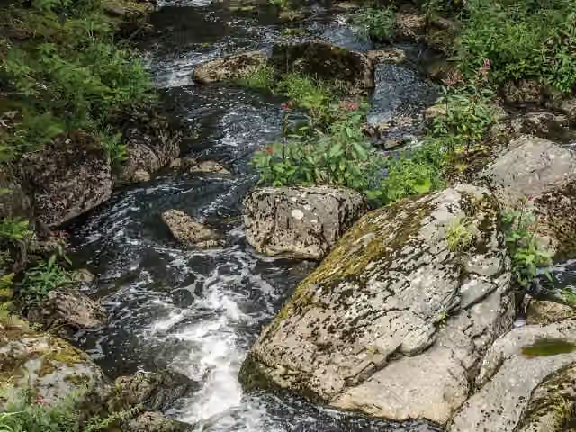 HöllentalAttraction · 125 m from the route
- 16
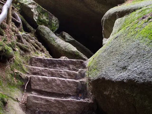 Felsenlabyrinth LuisenburgAttraction · 159 m from the route
- 17
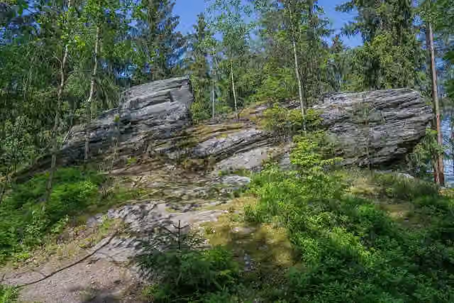 Wenderner SteinAttraction · 163 m from the route
- 18
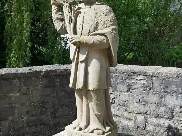 MemorialMemorial · 218 m from the route
- 19
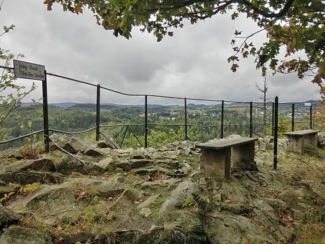 König DavidViewpoint · 275 m from the route
- 20
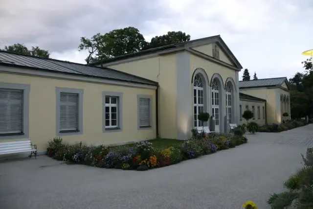 Klenze-BauArchaeological site · 356 m from the route
- 21
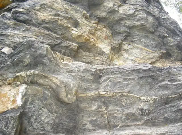 Felsen am LerchenbühlAttraction · 484 m from the route
- 22
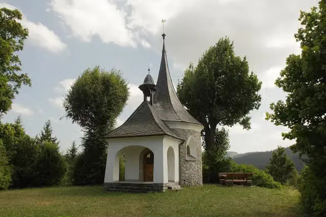 Burg WaldenfelsArchaeological site · 501 m from the route
- 23
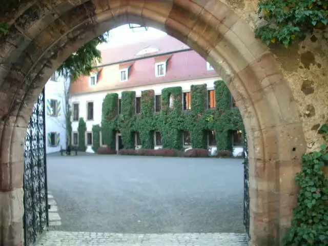 Schloss NeuguttenbergCastle · 609 m from the route
- 24
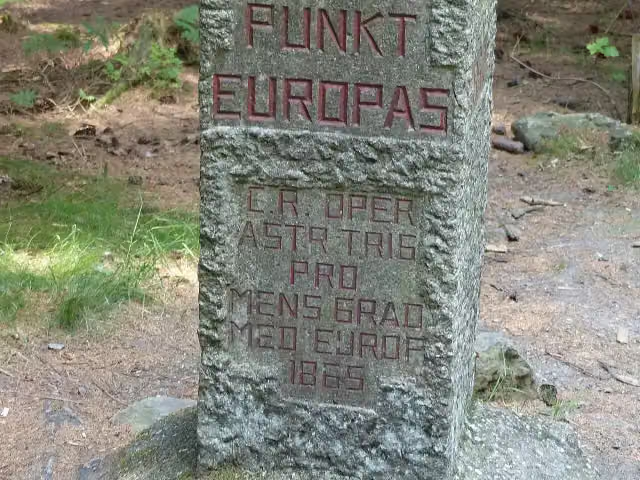 Mittelpunkt Europas - Střed EvropyAttraction · 626 m from the route
- 25
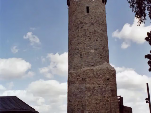 Burgruine LichtenbergCastle · 783 m from the route
Explore more
More cycle routes around Rosenthal am Rennsteig
Frequently asked questions
How long is Euregio-Egrensis-Radfernweg [DE-BY (Bayern)]?
Euregio-Egrensis-Radfernweg [DE-BY (Bayern)] is 209.5 km long. Allow ± 14:00 h of riding: 15 km an hour, without breaks.
Is this route a circular ride?
No, the route starts and ends at different spots.
Where does this route start?
The route starts in Rosenthal am Rennsteig.
How hard is this route?
Hard, with 3,183 m of climbing.
Are there toilets along this route?
Yes, there are 17 public toilets within 100 m of the route. The longest stretch without a toilet is 59.1 km.
Can you fill up with water along this route?
Yes, there are 5 water fountains and refill points within 100 m of the route.
What is there to see along this route?
Along the way you pass Bergbaumuseum Kupferberg, Wirsberger Burg and Burgstall Rabenstein.
Can I download this route as a GPX file?
Yes. Sign in with your Outdoor Pitstop account and choose Download GPX at the top of this page: 10 routes a month for free, unlimited with Pro.
Starting point
More routes from this place
Route data © OpenStreetMap contributors





