 Outdoor Pitstop
Cycle route · Bayreuth · Updated on 14 November 2026
Radrunde Oberfranken cycle route
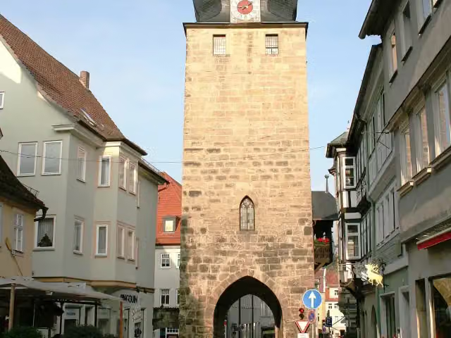
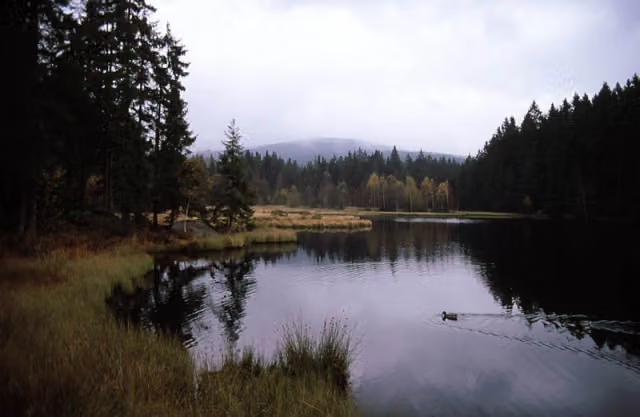
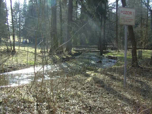
Radrunde Oberfranken is a cycle route of 295.1 km from Bayreuth. Along the way you'll find 408 benches, 11 water fountains and refill points, 18 public toilets, 3 bike pumps and 1 honesty box.
i
i
i
The route step by step
From start to finish, with what you pass along the way and the distance in between.
- 295.1 km
- ± 19:40 h
- ↑ 2,366 m · ↓ 2,430 m
- Hard
- From A to B
- Regional route
Start in Bayreuth
0 km14.2 km · 26 benches
Public toilet
14.2 km2.1 km · 6 benches
Water point
16.3 km9.3 km · 7 benches
Public toilet
25.6 km264 m · 4 benches

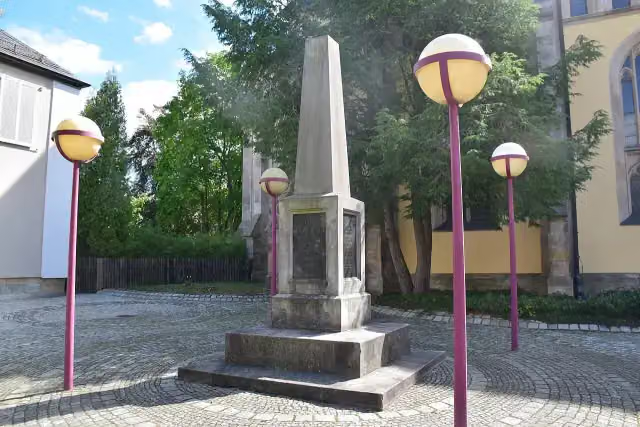
Gefallenendenkmal
25.8 kmMemorial
169 m · 2 benches
Public toilet
26 km22.5 km · 43 benches
Public toilet
48.6 km21.1 km · 11 benches
Bike pump
69.6 km6.8 km · 13 benches
Public toilet and water point
76.4 km621 m · bench
Public toilet
77 km151 m · 2 benches
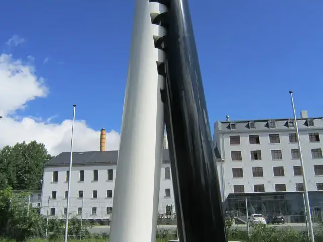
Kriegerdenkmal für die Gefallenen des deutsch-französischen Krieges 1870/71
77.2 kmMemorial
3.6 km · 9 benches
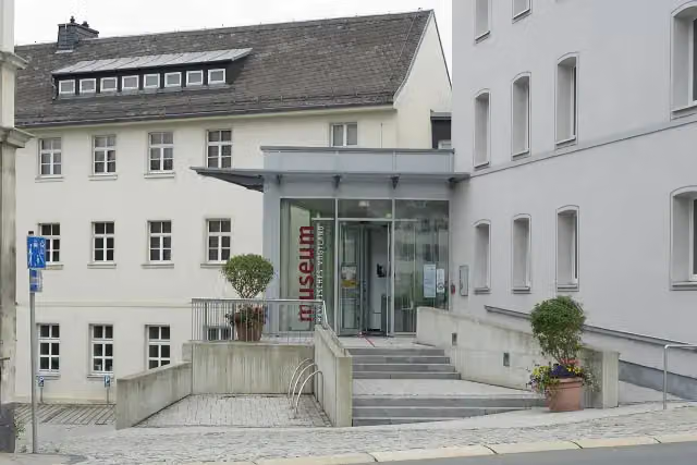
Porzellanikon - Staatliches Museum für Porzellan
80.8 kmMuseum
24.8 km · 6 benches
Public toilet and honesty box
105.6 km12 km · 8 benches
Public toilet
117.6 km3.7 km · 27 benches
Water point and bike pump
121.2 km331 m · 4 benches
Johann-Christian-Reinhart-Cabinett and 1 more
121.6 kmMuseum Bayerisches Vogtland
10 km · 28 benches
Jean-Paul-Museum Joditz
131.6 kmMuseum
10 km · 19 benches
Water point
141.6 km7 km · 9 benches
Drehkreuz des Wanderns
148.6 kmPublic toilet
1.4 km · 12 benches
Public toilet
149.9 km3.3 km · 15 benches
Public toilet
153.2 km3.5 km · 13 benches
Public toilet
156.8 km441 m · bench
Public toilet
157.2 km21.9 km · 25 benches
Heimatmuseum
179.2 kmMuseum
14.6 km · 8 benches
Synagoge
193.8 kmPublic toilet and water point
291 m · 8 benches
Ehrensäule
194.1 kmMemorial
2.4 km · 11 benches
Water point
196.4 km11.8 km · 4 benches
Wasserschloss Mitwitz
208.3 kmCastle
18.4 km · 9 benches
Water point
226.7 km9.7 km · 5 benches
Bike pump
236.3 km
Show the other 8 steps
5 km · 5 benches
Public toilet
241.3 km23.6 km · 14 benches
Water point
264.9 km8.9 km · 19 benches
Public toilet
273.8 km18.6 km · 11 benches
Grabstätte Friedrich Rückert and 1 more
292.4 kmFriedrich-Rückert-Gedächtnisstätte
2 km · 13 benches
Public toilet
294.5 km215 m · bench
Water point
294.7 km160 m · bench
Spitaltor
294.8 kmAttraction
247 m · 8 benches
Finish
295.1 kmAt the finish: Judentor, public toilet and 2 water fountains and refill points.
Longest stretch without a toilet: 47.5 kmBetween 193.8 km and 241.3 km there is no public toilet within 100 m of the route.
The route with the pitstops and sights within 100 m of it.
15 sights along the way
In the order you pass them. With the Outdoor Pitstop app you hear their story on the spot. 7 more along the route are on the map.
i
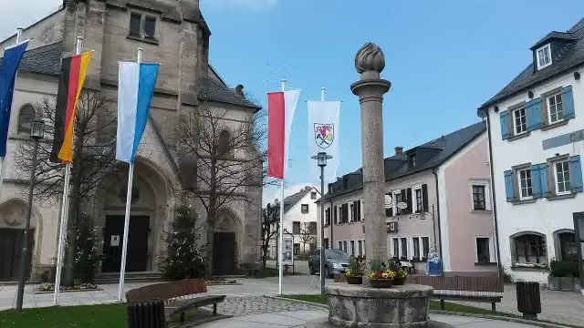
Photo: Lucorient · Wikimedia Commons · CC BY-SA 4.0View the photo on Wikimedia CommonsMemorial · after 25.8 km
Memorial · after 77.2 km
i
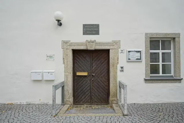
Photo: Corradox · Wikimedia Commons · CC BY-SA 3.0View the photo on Wikimedia CommonsMuseum · after 80.8 km
i
Photo: PantheraLeo1359531 · Wikimedia Commons · CC BY 4.0View the photo on Wikimedia CommonsMuseum · after 121.6 km
i
Photo: PantheraLeo1359531 · Wikimedia Commons · CC BY 4.0View the photo on Wikimedia CommonsMuseum · after 121.6 km
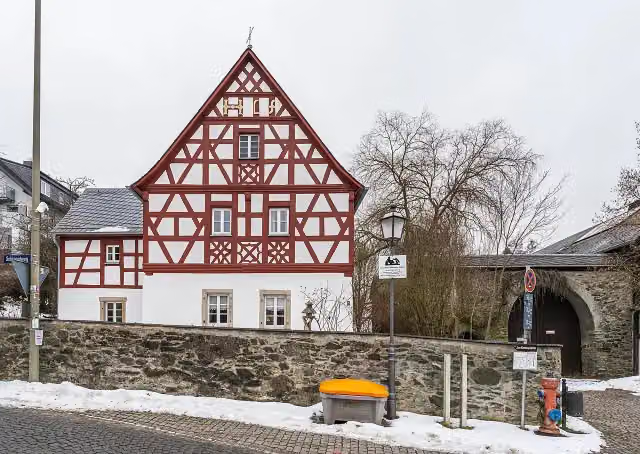
i
Photo: PantheraLeo1359531 · Wikimedia Commons · CC BY-SA 4.0View the photo on Wikimedia CommonsMuseum · after 131.6 km

Memorial · after 148.7 km
Museum · after 179.2 km
Elevation and terrain
- Up
- ↑ 2,366 m
- Down
- ↓ 2,430 m
- Highest point
- 810 m
- Lowest point
- 297 m
- 5-10% slope · 10.4 km
- 1 flight of stairs
Elevation from Copernicus GLO-30 (European Union and ESA), smoothed.
produced using Copernicus WorldDEM-30 © DLR e.V. 2010-2014 and © Airbus Defence and Space GmbH 2014-2018 provided under COPERNICUS by the European Union and ESA; all rights reserved
Way types
295.1 km in total- Road: 98.1 km
- Track: 64.9 km
- Path: 54.2 km
- Street: 33.4 km
- Cycle path: 28.2 km
- Busy road: 12.6 km
- Footpath (walk your bike): 1 km
- Steps (carry your bike): 1 flight of stairs
- Unknown: 1.9 km
Surfaces
295.1 km in total- Asphalt: 191.6 km
- Gravel: 33.9 km
- Paved: 5.8 km
- Unpaved: 2.5 km
- Natural: 250 m
- Unknown: 60.3 km
About the cycle route Radrunde Oberfranken
Updated on 14 November 2026, with data from OpenStreetMap, the AHN and Copernicus.
Where do you cycle?
Radrunde Oberfranken is a cycle route of 295.1 km that starts in Bayreuth. It does not end where it starts. You start in Bamberg and finish in Bamberg. Along the way you pass Gefallenendenkmal (after 25.8 km), Kriegerdenkmal für die Gefallenen des deutsch-französischen Krieges 1870/71 (after 77.2 km) and Porzellanikon - Staatliches Museum für Porzellan (after 80.8 km).
How hard is the route?
You climb 2,366 m in total and descend 2,430 m. There is 1 flight of steps along the way. Allow ± 19:40 h, without breaks. The level is hard.
What roads do you cycle on?
The longest part is road (98.1 km), track (64.9 km) and path (54.2 km). Of the surface, 191.6 km asphalt and 33.9 km gravel. For 60.3 km the surface is not known.
Pitstops along the way
Within 100 metres of the route there are 408 benches, 11 water fountains and refill points, 18 public toilets, 3 bike pumps and 1 honesty box. The longest stretch without a toilet is 47.5 km. The Outdoor Pitstop app navigates you there.
Cycle routes nearby
6Sights nearby
Within 10 km of the route, best known first.
- 1
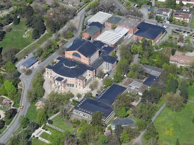 FestspielhausAttraction · 2.2 km from the route
- 2
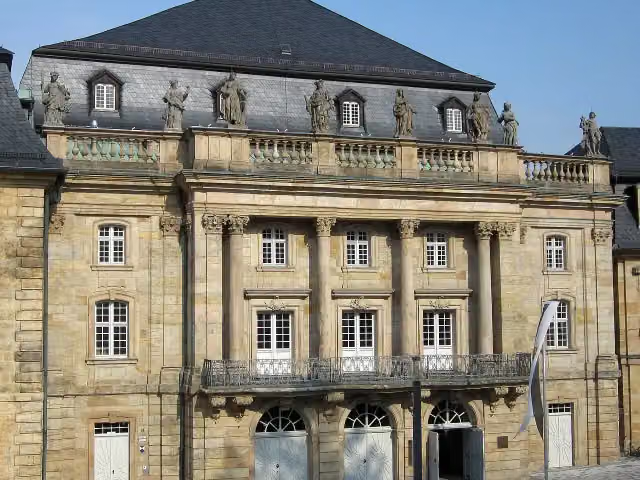 Margravial Opera HouseAttraction · 3.1 km from the route
- 3
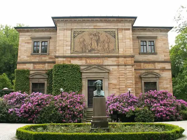 Richard-Wagner-MuseumMuseum · 3.3 km from the route
- 4
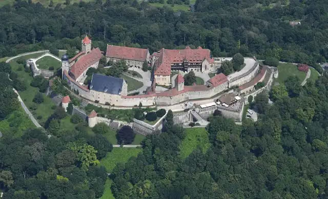 Veste CoburgCastle · 1.2 km from the route
- 5
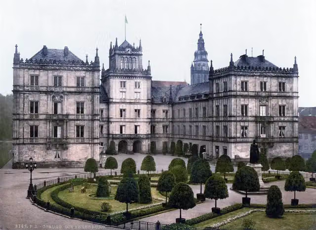 Schloss EhrenburgAttraction · 194 m from the route
- 6
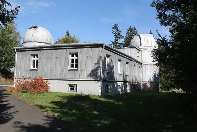 Sternwarte SonnebergAttraction · 5 km from the route
- 7
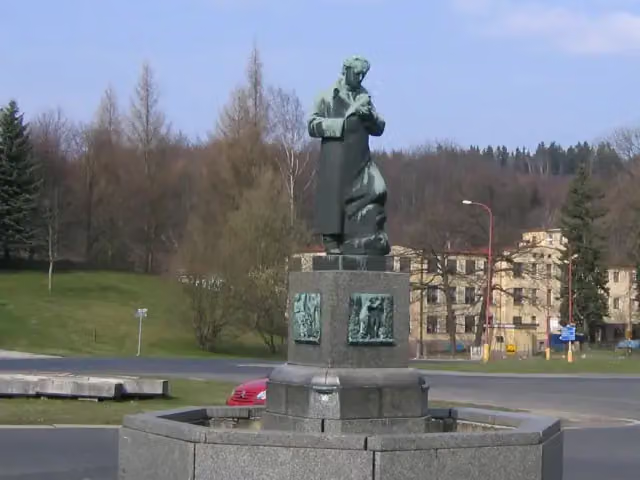 Goethův památníkMemorial · 4.9 km from the route
- 8
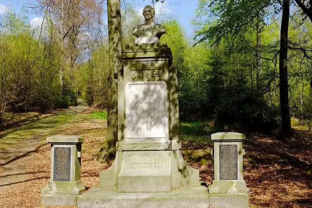 Theodor KörnerMemorial · 5.9 km from the route
- 9
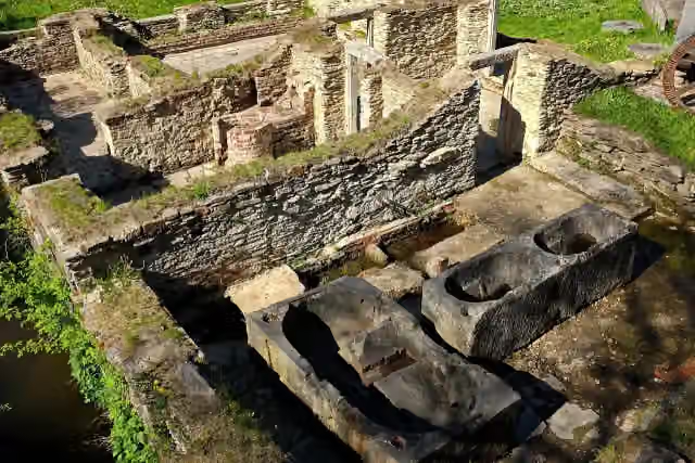 Papírna DoubravaAttraction · 8.3 km from the route
- 10
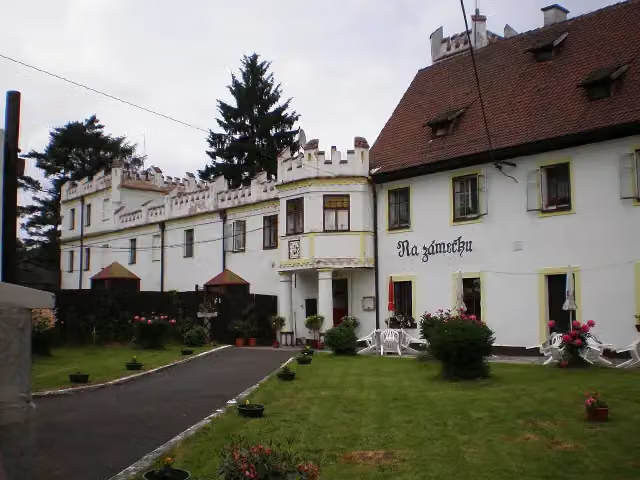 Zámek DoubravaCastle · 8.5 km from the route
- 11
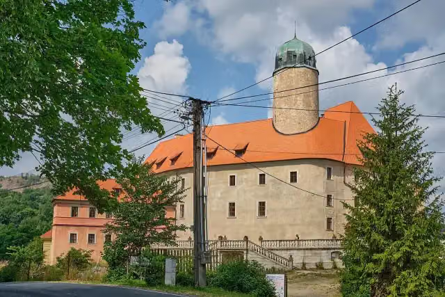 zámek LibáCastle · 8.5 km from the route
- 12
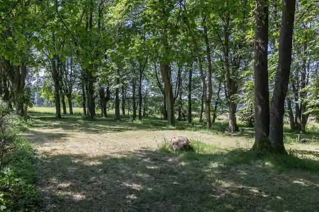 Hřbitov zaniklé obce ÚjezdAttraction · 1.9 km from the route
- 13
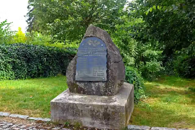 Pomník padlým v 1.sv.v.Memorial · 4.7 km from the route
- 14
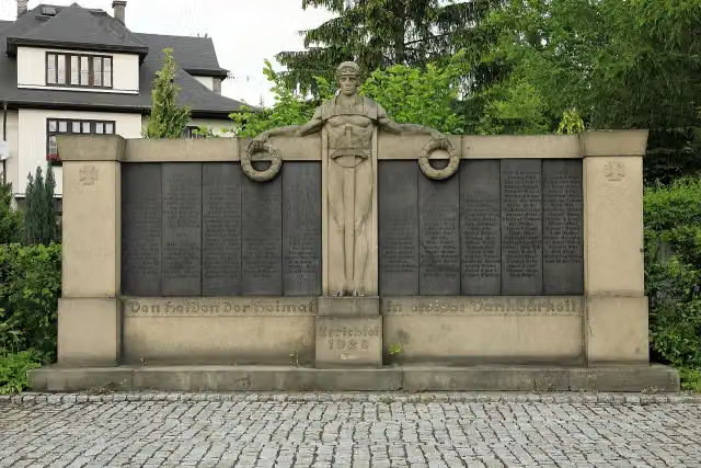 Památník padlým v 1.sv.v.Memorial · 4.7 km from the route
- 15
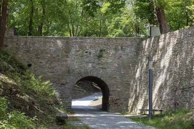 Kamenný hřbitovní mostAttraction · 4.8 km from the route
- 16
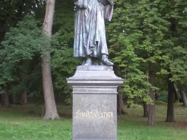 Pomník Dr. Martina LutheraMemorial · 4.8 km from the route
- 17
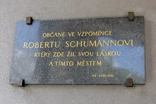 Robert SchumannMemorial · 4.9 km from the route
- 18
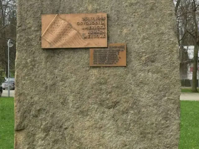 Pomník padlým ve 2.sv.v.Memorial · 5.2 km from the route
- 19
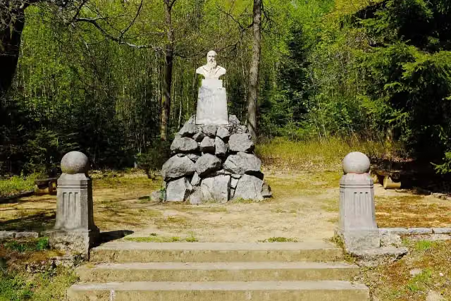 F. L. JahnMemorial · 5.7 km from the route
- 20
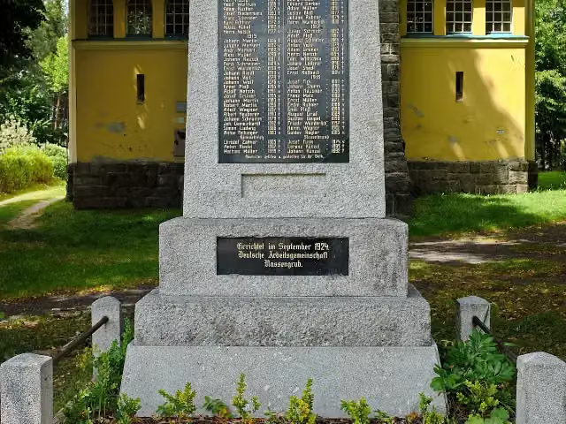 Památník padlým v 1.sv.v.Memorial · 6 km from the route
- 21
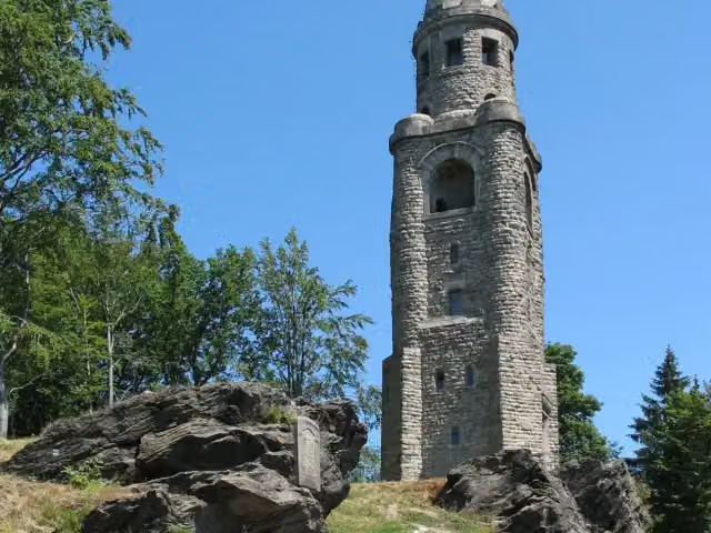 rozhledna Háj u AšeObservation tower · 6.1 km from the route
- 22
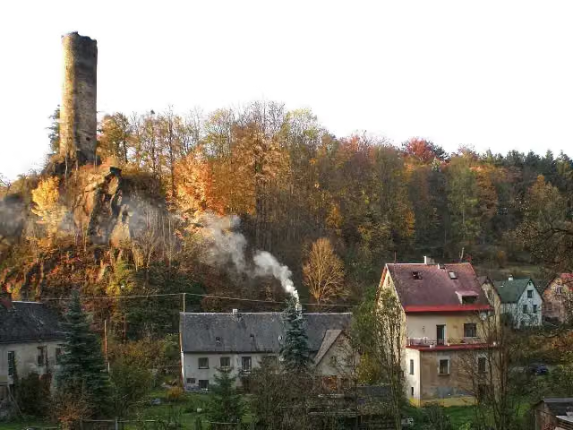 NeubergCastle · 6.2 km from the route
- 23
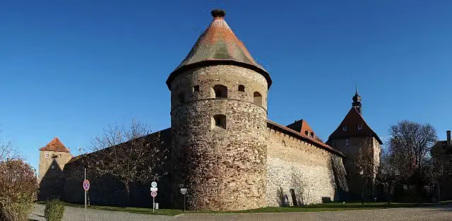 Burg HohenbergCastle · 7.1 km from the route
- 24
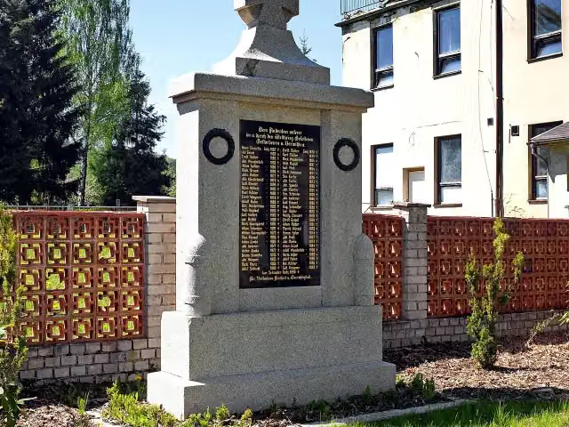 Památník padlým v 1.sv.v.Memorial · 8.3 km from the route
- 25
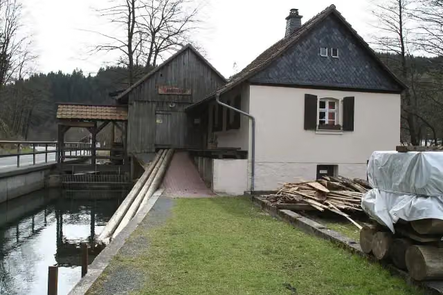 Teichmühle SteinwiesenMuseum · 99 m from the route
Explore more
More cycle routes around Bayreuth
Frequently asked questions
How long is Radrunde Oberfranken?
Radrunde Oberfranken is 295.1 km long. Allow ± 19:40 h of riding: 15 km an hour, without breaks.
Is this route a circular ride?
No, the route runs from Bamberg to Bamberg.
Where does this route start?
The route starts in Bayreuth.
How hard is this route?
Hard, with 2,366 m of climbing.
Are there toilets along this route?
Yes, there are 18 public toilets within 100 m of the route. The longest stretch without a toilet is 47.5 km.
Can you fill up with water along this route?
Yes, there are 11 water fountains and refill points within 100 m of the route.
What is there to see along this route?
Along the way you pass Gefallenendenkmal, Kriegerdenkmal für die Gefallenen des deutsch-französischen Krieges 1870/71 and Porzellanikon - Staatliches Museum für Porzellan.
Can I download this route as a GPX file?
Yes. Sign in with your Outdoor Pitstop account and choose Download GPX at the top of this page: 10 routes a month for free, unlimited with Pro.
Starting point
More routes from this place
Route data © OpenStreetMap contributors





