 Outdoor Pitstop
Cycle route · Kulmbach · Updated on 14 November 2026
Main-Radweg, Abschnitte 3 bis 9 cycle route
Main-Radweg, Abschnitte 3 bis 9 is a cycle route of 324.6 km from Kulmbach. Along the way you'll find 944 benches, 16 water fountains and refill points, 59 public toilets and 18 bike pumps.
i
i
i
The route step by step
From start to finish, with what you pass along the way and the distance in between.
- 324.6 km
- ± 21:40 h
- ↑ 369 m · ↓ 528 m
- Hard
- From A to B
- Regional route
Start in Kulmbach
0 km18 km · 17 benches

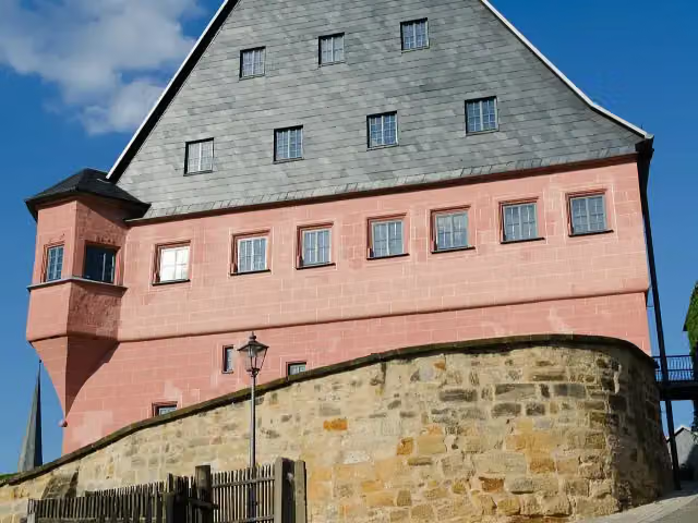
Schloss Strössendorf
18 kmCastle
8.8 km · 4 benches
Public toilet
26.7 km5.8 km · 15 benches
Sammlung Fossilien des Jura
32.5 kmMuseum
205 m
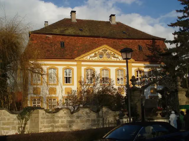
Stadtschloss
32.7 kmPublic toilet and water point
207 m · 3 benches
Stadtmuseum
32.9 kmMuseum
8.8 km · 19 benches
Public toilet
41.8 km7.1 km · 14 benches
Water point
48.8 km1.2 km · 6 benches
Bike pump
50.1 km5 km · 5 benches
Schloß Unterleiterbach
55 kmCastle
7.2 km
Public toilet
62.3 km297 m
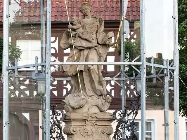
Marienstatue
62.6 kmMemorial
5.2 km · bench
Water point
67.8 km280 m · 3 benches
Public toilet and water point
68.1 km5.8 km · 39 benches
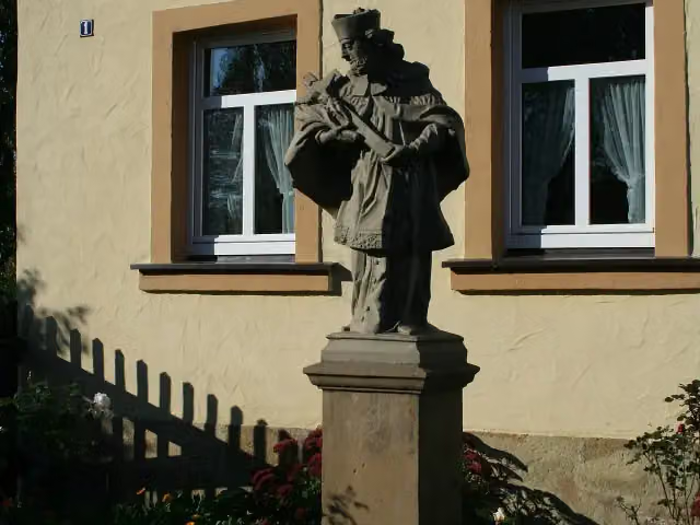
St. Nepomuk
73.9 kmMemorial
4.7 km · 12 benches
Bike pump
78.6 km6.3 km · 13 benches
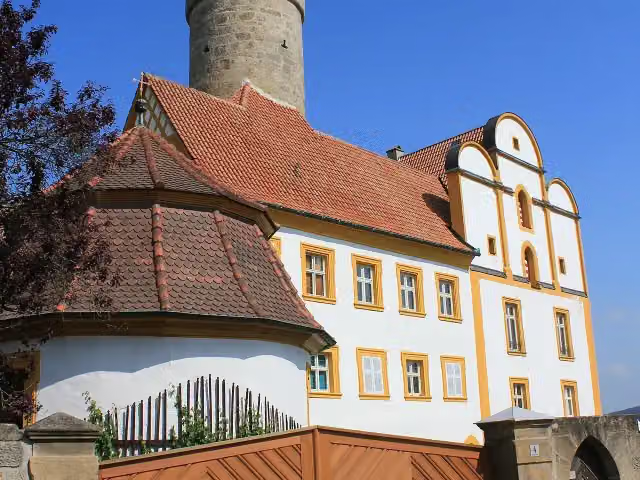
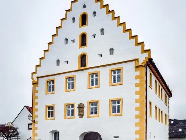
Schloss Trunstadt
84.9 kmCastle
8.6 km · 21 benches
Bike pump
93.5 km2.4 km · 7 benches
Water point
95.9 km1.6 km · 5 benches
Public toilet
97.4 km2.4 km · 9 benches
Water point
99.9 km2.6 km · 12 benches
Hexenturm
102.5 kmPublic toilet
4.6 km · 3 benches
2 public toilets
107 km2.5 km · bench
Denkmal für Carl Alexander Heideloff and 2 more
109.6 kmRitterkapelle and Observation tower
411 m · 5 benches
Public toilet
110 km184 m · 3 benches
Public toilet
110.2 km215 m · 6 benches
2 public toilets
110.4 km6.7 km · 7 benches
Bike pump
117.1 km10.1 km · 14 benches
Public toilet and bike pump
127.2 km5 km · 18 benches
Public toilet
132.2 km
Show the other 54 steps
180 m · bench
Bike pump
132.3 km178 m · 11 benches
Industriedenkmal "Alter Kran"
132.5 km2 public toilets and bike pump
155 m · bench
Naturkundliches Museum and 1 more
132.7 kmMuseum Georg Schäfer and public toilet
241 m · 3 benches
Hafenkran
132.9 kmBike pump
6.1 km · 33 benches
Public toilet
139 km11 km · 13 benches
Public toilet and bike pump
150 km1.7 km · bench
Museum für Militär und Zeitgeschichte
151.7 kmMuseum
2.7 km · 2 benches
Public toilet
154.4 km7.5 km · 9 benches
Public toilet
161.9 km10.8 km · 12 benches
Public toilet
172.7 km4 km · 5 benches
2 public toilets and water point
176.7 km6.4 km · 23 benches
Public toilet
183.1 km3.3 km · 20 benches
Public toilet
186.4 km3.9 km · 6 benches
Public toilet and water point
190.3 km9.9 km · 39 benches
Public toilet and water point
200.2 km501 m · bench
Public toilet and bike pump
200.7 km6.3 km · 16 benches
Trachtenmuseum
207 km2 public toilets
1.6 km · bench
Trias-Museum an der Ochsenfurt
208.7 kmMuseum
4.2 km · 3 benches
Bike pump
212.9 km4.1 km · 26 benches
Public toilet
217 km3.2 km · 16 benches
Public toilet
220.2 km278 m · 7 benches
Kriegerdenkmal
220.5 kmMemorial
1.7 km · 5 benches
Public toilet
222.2 km812 m · 19 benches
Public toilet
223 km1.1 km · 23 benches
Bike pump
224 km1.9 km · 23 benches
Gartenpavillon des ehemaligen Augustinerklosters
225.9 kmPublic toilet
339 m · 5 benches
2 public toilets, water point and bike pump
226.2 km154 m · 9 benches
Old Main Bridge
226.4 kmPublic toilet
565 m · 21 benches
3 public toilets and water point
226.9 km303 m · 4 benches
Bike pump
227.2 km1.1 km · 2 benches
Bike pump
228.3 km686 m · 11 benches
2 public toilets
229 km2.4 km · 12 benches
Hausmadonna
231.5 kmMemorial
160 m · 2 benches
Hausmadonna and 1 more
231.6 kmPietà and water point
2.5 km · 46 benches
Public toilet
234.1 km323 m
Bike pump
234.5 km782 m · 3 benches
Public toilet
235.2 km198 m · bench
Public toilet
235.4 km10.9 km · 18 benches
Water point
246.3 km637 m · 2 benches
Public toilet
247 km4.4 km · 10 benches
Public toilet
251.3 km2.3 km · 13 benches
Public toilet
253.6 km158 m
Stadtgeschichtliches Museum Karlstadt
253.8 kmBike pump
211 m · 2 benches
Public toilet
254 km14.9 km · 26 benches
Water point
268.9 km159 m · 11 benches
Public toilet, water point and bike pump
269 km3.3 km · 9 benches
Water point
272.3 km19.9 km · 75 benches
Public toilet
292.3 km9.2 km · 29 benches
Public toilet
301.5 km768 m · 13 benches
Public toilet
302.2 km5.4 km · 10 benches
2 public toilets
307.6 km2.4 km · 4 benches
Burg Homburg
310.1 kmPublic toilet
13.7 km · 20 benches
Schlösschen im Hofgarten
323.7 kmCastle
835 m · 5 benches
Finish
324.6 km
Longest stretch without a toilet: 29.3 kmBetween 68.1 km and 97.4 km there is no public toilet within 100 m of the route.
The route with the pitstops and sights within 100 m of it.
28 sights along the way
In the order you pass them. With the Outdoor Pitstop app you hear their story on the spot. 20 more along the route are on the map.
i
Photo: Trollhead · Wikimedia Commons · CC BY-SA 3.0View the photo on Wikimedia CommonsCastle · after 18 km

Museum · after 32.5 km
i
Photo: Tilman2007 · Wikimedia Commons · CC BY-SA 3.0View the photo on Wikimedia CommonsCastle · after 32.7 km
Museum · after 32.9 km
i
Photo: User:JFKCom · Wikimedia Commons · CC BY-SA 3.0View the photo on Wikimedia CommonsCastle · after 55 km
i
Photo: Tilman2007 · Wikimedia Commons · CC BY-SA 4.0View the photo on Wikimedia CommonsMemorial · after 62.6 km
i
Photo: Mombasa · Wikimedia Commons · CC BY-SA 3.0View the photo on Wikimedia CommonsMemorial · after 73.9 km
i
Photo: Ermell · Wikimedia Commons · CC BY-SA 4.0View the photo on Wikimedia CommonsCastle · after 84.9 km
Elevation and terrain
- Up
- ↑ 369 m
- Down
- ↓ 528 m
- Highest point
- 307 m
- Lowest point
- 140 m
- 1 flight of stairs
Elevation from Copernicus GLO-30 (European Union and ESA), smoothed.
produced using Copernicus WorldDEM-30 © DLR e.V. 2010-2014 and © Airbus Defence and Space GmbH 2014-2018 provided under COPERNICUS by the European Union and ESA; all rights reserved
Way types
324.6 km in total- Path: 154.6 km
- Track: 45.5 km
- Street: 42.4 km
- Cycle path: 38.4 km
- Road: 35.5 km
- Busy road: 4.5 km
- Footpath (walk your bike): 2.9 km
- Steps (carry your bike): 1 flight of stairs
- Unknown: 125 m
Surfaces
324.6 km in total- Asphalt: 304.3 km
- Paved: 14.3 km
- Gravel: 4.1 km
- Unpaved: 25 m
- Unknown: 1.2 km
About the cycle route Main-Radweg, Abschnitte 3 bis 9
Updated on 14 November 2026, with data from OpenStreetMap, the AHN and Copernicus.
Where do you cycle?
Main-Radweg, Abschnitte 3 bis 9 is a cycle route of 324.6 km that starts in Kulmbach. It does not end where it starts. You start in Kulmbach and finish in Wertheim. Along the way you pass Schloss Strössendorf (after 18 km), Sammlung Fossilien des Jura (after 32.5 km) and Stadtschloss (after 32.7 km).
How hard is the route?
You climb 369 m in total and descend 528 m. There is 1 flight of steps along the way. Allow ± 21:40 h, without breaks. The level is hard.
What roads do you cycle on?
The longest part is path (154.6 km), track (45.5 km) and street (42.4 km). Of the surface, 304.3 km asphalt and 14.3 km paved. For 1.2 km the surface is not known.
Pitstops along the way
Within 100 metres of the route there are 944 benches, 16 water fountains and refill points, 59 public toilets and 18 bike pumps. The longest stretch without a toilet is 29.3 km. The Outdoor Pitstop app navigates you there.
Part of Main-Radweg
Website of the routeCycle routes nearby
6- Radrundweg Kulmbach KU1Hard · Circular ride85.3 km
- [D11] Ostsee-Oberbayern 11 [Oberfranken Mitte]Hard · From A to B61 km
- [D11] Ostsee-Oberbayern 10 [Oberfranken Nord]Hard · From A to B102.8 km
- Saar-Mosel-Main [Bamberg - Kulmbach]Hard · From A to B74.3 km
- Saar-Mosel-Main [Kulmbach - Schirnding]Hard · From A to B113.4 km
- EV4 Germany, Bamberg - BayreuthHard · From A to B103.9 km
Sights nearby
Within 10 km of the route, best known first.
- 1
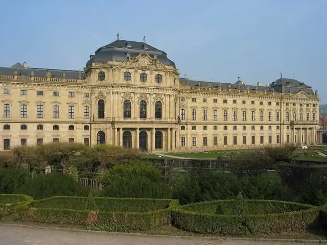 Würzburg ResidenceAttraction · 765 m from the route
- 2
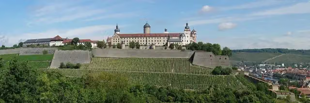 Marienberg FortressAttraction · 530 m from the route
- 3
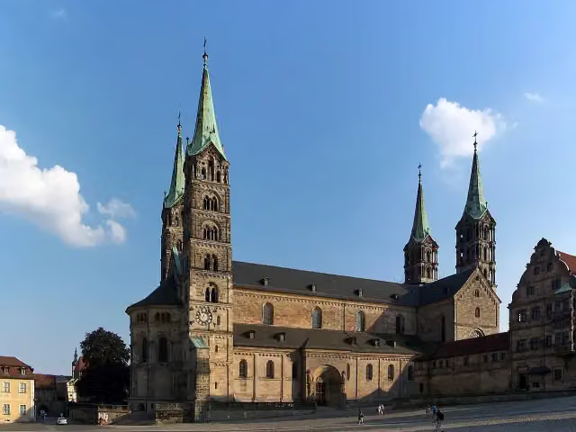 Bamberg CathedralAttraction · 3.2 km from the route
- 4
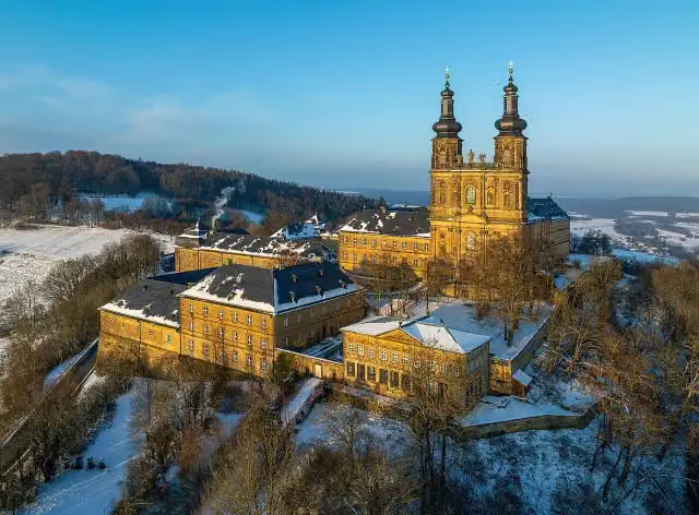 Kloster BanzAttraction · 1.5 km from the route
- 5
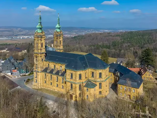 Basilika VierzehnheiligenAttraction · 1 km from the route
- 6
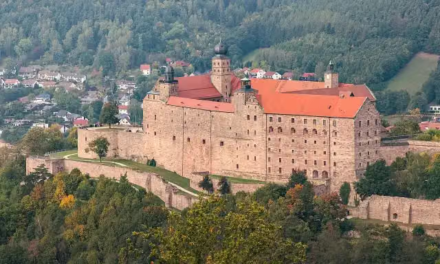 PlassenburgAttraction · 4.4 km from the route
- 7
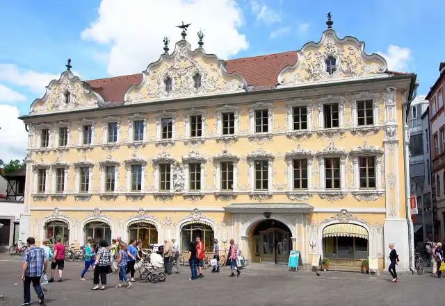 FalkenhausAttraction · 251 m from the route
- 8
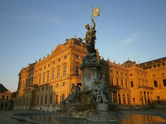 FrankoniabrunnenAttraction · 699 m from the route
- 9
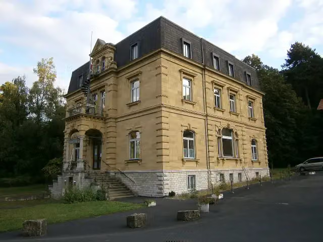 Siebold-MuseumMuseum · 332 m from the route
- 10
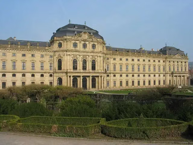 Martin-von-Wagner-MuseumMuseum · 766 m from the route
- 11
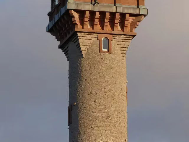 Aussichtsturm FrankenwarteObservation tower · 1.5 km from the route
- 12
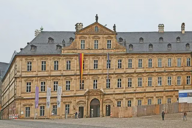 Neue ResidenzMuseum · 3.1 km from the route
- 13
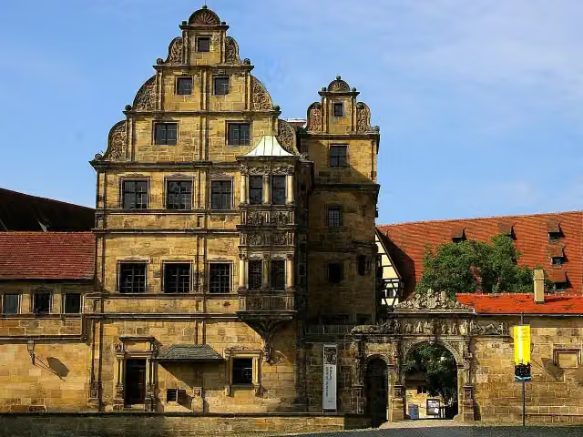 Old CourtAttraction · 3.1 km from the route
- 14
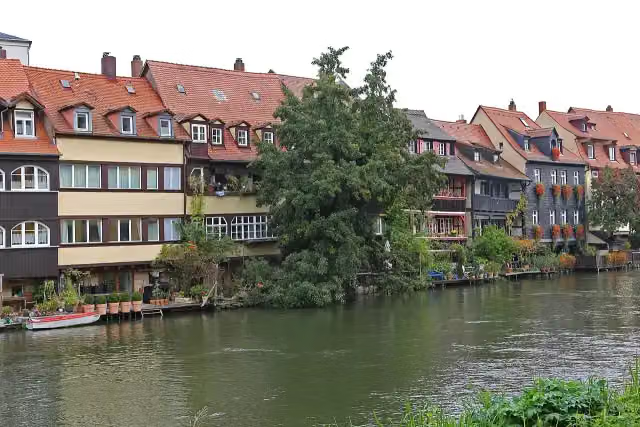 Little VeniceAttraction · 3 km from the route
- 15
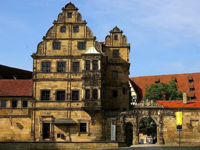 Historisches MuseumMuseum · 3.2 km from the route
- 16
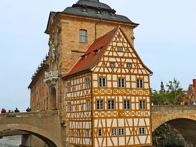 Old City HallAttraction · 3.4 km from the route
- 17
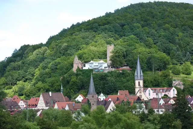 ScherenburgCastle · 95 m from the route
- 18
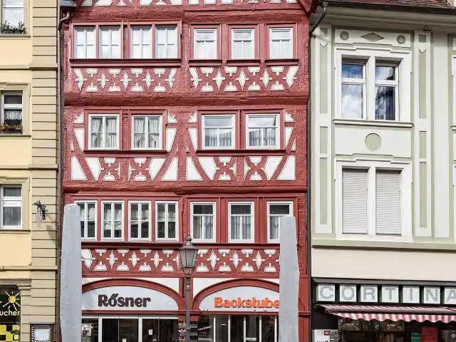 Conditorei MuseumMuseum · 105 m from the route
- 19
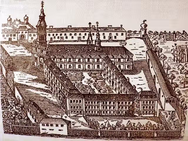 Schloss ObertheresCastle · 129 m from the route
- 20
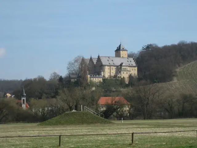 Schloss MainbergCastle · 133 m from the route
- 21
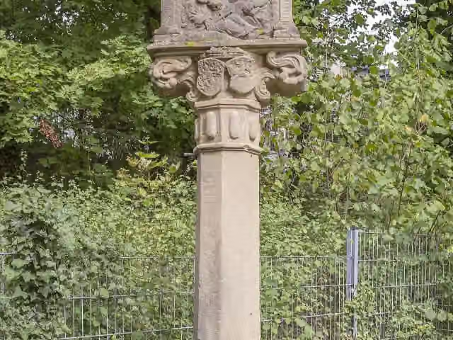 Schloss DitfurthCastle · 137 m from the route
- 22
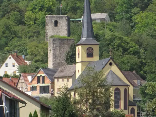 Burgruine LaudenbachRuins · 143 m from the route
- 23
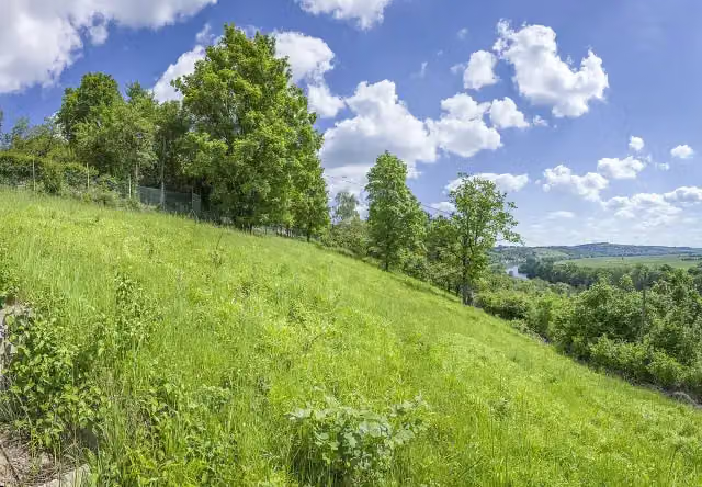 BeerhüterturmObservation tower · 149 m from the route
- 24
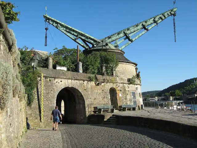 Alter KranenAttraction · 154 m from the route
- 25
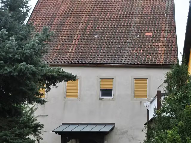 Ehemaliges SchlossCastle · 160 m from the route
Explore more
More cycle routes around Kulmbach
Frequently asked questions
How long is Main-Radweg, Abschnitte 3 bis 9?
Main-Radweg, Abschnitte 3 bis 9 is 324.6 km long. Allow ± 21:40 h of riding: 15 km an hour, without breaks.
Is this route a circular ride?
No, the route runs from Kulmbach to Wertheim.
Where does this route start?
The route starts in Kulmbach.
How hard is this route?
Hard, with 369 m of climbing.
Are there toilets along this route?
Yes, there are 59 public toilets within 100 m of the route. The longest stretch without a toilet is 29.3 km.
Can you fill up with water along this route?
Yes, there are 16 water fountains and refill points within 100 m of the route.
What is there to see along this route?
Along the way you pass Schloss Strössendorf, Sammlung Fossilien des Jura and Stadtschloss.
Can I download this route as a GPX file?
Yes. Sign in with your Outdoor Pitstop account and choose Download GPX at the top of this page: 10 routes a month for free, unlimited with Pro.
Starting point
More routes from this place
Route data © OpenStreetMap contributors





