 Outdoor Pitstop
Cycle route · Niederstetten · Updated on 14 November 2026
Württemberger Weinradweg cycle route
Württemberger Weinradweg is a cycle route of 414.5 km from Niederstetten. Along the way you'll find 1,614 benches, 26 water fountains and refill points, 50 public toilets, 41 bike pumps and 7 honesty boxes and farm vending machines.
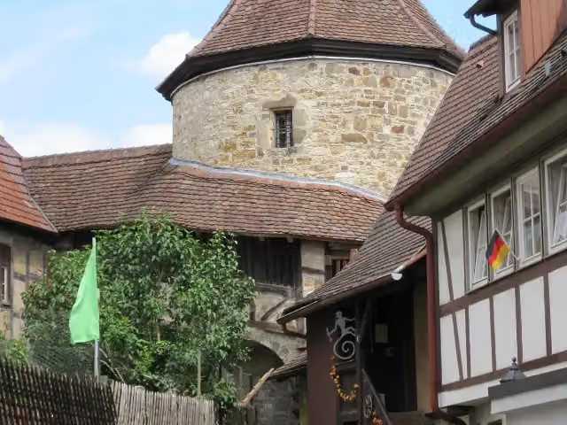
i
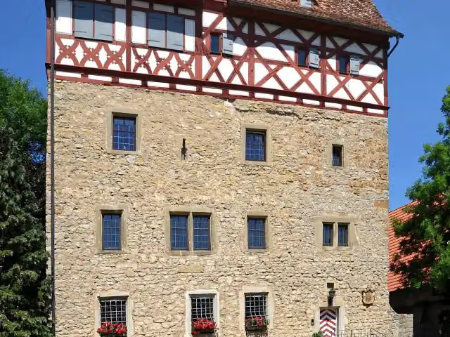
i
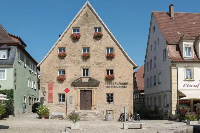
i
The route step by step
From start to finish, with what you pass along the way and the distance in between.
- 414.5 km
- ± 3:25 h per stage
- ↑ 2,583 m · ↓ 2,515 m
- Moderate per stage
- From A to B
- Regional route
Start in Niederstetten
0 km7.2 km · 8 benches

Schloss Laudenbach
7.2 kmCastle
308 m
Public toilet
7.5 km4 km · 6 benches
Public toilet
11.5 km214 m
Tauberländer Dorfmuseum
11.7 kmPublic toilet
11.6 km · 33 benches
Bike pump
23.3 km1.5 km · 2 benches
Schlosskirche and 2 more
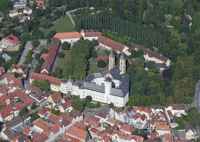
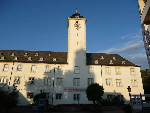
24.8 kmResidenzschloss, Deutschordensmuseum and public toilet
173 m · 8 benches
2 public toilets
25 km173 m · 2 benches
Public toilet
25.1 km6.7 km · 10 benches
Stuppacher Madonna
31.8 kmAttraction
10.2 km · 5 benches
Honesty box
42 km17.8 km · 8 benches
Water point
59.8 km1 km · bench
Bike pump
60.9 km4.4 km · 25 benches
Bike pump
65.3 km1.8 km · 8 benches
Public toilet
67.1 km194 m · 2 benches
3 water fountains and refill points
67.3 km4.8 km · 7 benches
Public toilet
72.1 km531 m · 4 benches
Water point
72.6 km6.6 km · 8 benches
Water point
79.2 km416 m · 4 benches
Public toilet
79.6 km6.4 km
Public toilet
85.9 km8.3 km · 11 benches
Public toilet
94.3 km5.7 km · 11 benches
Honesty box
100 km4.6 km · 4 benches
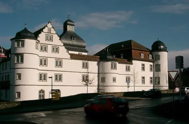
Schloss Pfedelbach
104.5 kmPublic toilet
14.5 km · 16 benches
Bike pump
119 km900 m · 10 benches
Schloss Affaltrach
119.9 kmCastle
747 m
Bike pump
120.7 km1.2 km · bench
Honesty box
121.8 km2.4 km · 14 benches
Bike pump
124.3 km2.5 km · 22 benches
Bike pump
126.8 km
Show the other 77 steps
1.7 km · 26 benches
Public toilet
128.5 km293 m · 13 benches
Bike pump
128.8 km6.2 km · 30 benches
Bike pump
135 km1.6 km · 6 benches
Trappenseeschlösschen
136.6 kmBike pump
2.5 km · 26 benches
Kunsthalle Vogelmann
139.1 kmMuseum
231 m · 4 benches
Hafenmarktturm and 1 more
139.3 kmRathaus Heilbronn
425 m · 8 benches
experimenta
139.7 km2 public toilets
1.3 km · 45 benches
Bike pump
141.1 km250 m · 14 benches
Public toilet
141.3 km939 m · 8 benches
Bike pump
142.3 km11.8 km · 17 benches
Public toilet
154.1 km9.3 km · 26 benches
Weinbaustube
163.4 kmMuseum
11.3 km · 14 benches
Public toilet
174.7 km2.6 km · 3 benches
Honesty box
177.3 km6.5 km · 68 benches
Regiswindiskirche
183.9 kmPublic toilet
251 m · 16 benches
Water point and bike pump
184.1 km10.5 km · 19 benches
Public toilet
194.6 km1.6 km · 35 benches
Public toilet
196.2 km8.3 km · 14 benches
Bike pump
204.5 km8.7 km · 12 benches
Bike pump
213.2 km2.9 km · 7 benches
Bike pump
216.1 km5 km · 6 benches
Public toilet
221.1 km646 m · 27 benches
Water point
221.7 km277 m · 9 benches
Bike pump
222 km1.4 km · 3 benches
Public toilet
223.4 km6.1 km · 16 benches
Historische Schmiede Neckargröningen
229.5 kmMuseum
487 m · 5 benches
Public toilet and bike pump
230 km4.3 km · 14 benches
Water point
234.3 km625 m · 2 benches
Public toilet and bike pump
234.9 km23.1 km · 89 benches
Schloss Großheppach
258 kmCastle
1.1 km · bench
Public toilet
259.1 km780 m · 3 benches
Water point
259.8 km6.5 km · 30 benches
Water point and bike pump
266.4 km9 km · 42 benches
Public toilet and water point
275.4 km1.1 km
Weinbaumuseum Stuttgart
276.5 kmPublic toilet
6.3 km · 31 benches
2 public toilets
282.8 km398 m · 13 benches
Pliensauturm
283.2 kmAttraction
340 m · 7 benches
Villa Merkel
283.5 kmPublic toilet
9.1 km · 61 benches
Public toilet
292.6 km583 m · 4 benches
Hundertwasserhaus "Wohnen unterm Regenturm"
293.2 kmWater point and bike pump
548 m · 2 benches
Public toilet
293.8 km1.6 km · 10 benches
Public toilet and bike pump
295.4 km5.5 km · 24 benches
Bike pump
300.9 km3.6 km · 11 benches
Public toilet
304.5 km1.4 km · 10 benches
2 water fountains and refill points
305.9 km667 m · 23 benches
Stadtbalkon Nürtingen
306.5 kmPublic toilet, 2 water fountains and refill points and bike pump
445 m · 30 benches
Blockturm
307 kmAttraction
4.7 km · 10 benches
Bike pump
311.7 km8.6 km · 37 benches
3 public toilets and 5 water fountains and refill points
320.3 km3.4 km · 37 benches
Deutsches Ordensmuseum
323.7 kmMuseum
9.4 km · 11 benches
Public toilet
333.1 km550 m · 8 benches
Public toilet and water point
333.7 km384 m · 13 benches
Stadtarchiv Metzingen
334.1 kmPublic toilet
7.1 km · 22 benches
Bike pump
341.1 km851 m · 25 benches
Bike pump
342 km657 m · 5 benches
Bike pump
342.7 km10.4 km · 10 benches
Public toilet
353.1 km1.6 km
Bike pump
354.7 km4.7 km · 4 benches
Bike pump
359.3 km295 m · 14 benches
Bike pump
359.6 km1.7 km · 30 benches
Bike pump
361.4 km804 m · 19 benches
Public toilet and bike pump
362.2 km213 m · 16 benches
Bike pump
362.4 km331 m · 37 benches
Danneckersche Nymphengruppe
362.7 kmWater point
496 m · 37 benches
Wildermuthdenkmal
363.2 kmMemorial
288 m · 6 benches
Public toilet and bike pump
363.5 km1.1 km · 24 benches
Bike pump
364.6 km5.8 km · 33 benches
Honesty box
370.4 km14.4 km · 28 benches
Bike pump
384.8 km10.4 km · 27 benches
2 public toilets
395.2 km175 m · 2 benches
Public toilet, water point and 2 bike pumps
395.4 km2.7 km · 2 benches
Honesty box
398.1 km2 km
Honesty box
400.1 km1.8 km · 6 benches
Bike pump
402 km6.9 km · 17 benches
Kultur-Historisches Museum
408.9 kmWater point
153 m · 6 benches
Pfeifferturm
409.1 kmPublic toilet and bike pump
5.4 km · 14 benches
Finish
414.5 km
Longest stretch without a toilet: 42 kmBetween 25.1 km and 67.1 km there is no public toilet within 100 m of the route.
The route with the water points, toilets and sights within 100 m of it.
29 sights along the way
In the order you pass them. With the Outdoor Pitstop app you hear their story on the spot. 21 more along the route are on the map.
i
Photo: Holger Uwe Schmitt · Wikimedia Commons · CC BY-SA 4.0View the photo on Wikimedia CommonsCastle · after 7.2 km
i
Photo: Tilman2007 · Wikimedia Commons · CC BY-SA 4.0View the photo on Wikimedia CommonsMuseum · after 11.7 km
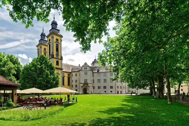
i
Photo: Holger Uwe Schmitt · Wikimedia Commons · CC BY-SA 4.0View the photo on Wikimedia CommonsAttraction · after 24.8 km
i
Photo: Carsten Steger · Wikimedia Commons · CC BY-SA 4.0View the photo on Wikimedia CommonsAttraction · after 24.8 km
i
Photo: Immanuel Giel · Wikimedia Commons · CC BY-SA 4.0View the photo on Wikimedia CommonsMuseum · after 24.8 km
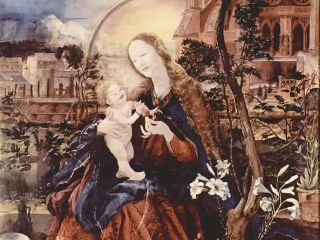
Attraction · after 31.8 km
i
Photo: Pfedelbacher at German Wikipedia (Original text: Pfedelbacher) · Wikimedia Commons · CC BY-SA 3.0View the photo on Wikimedia CommonsCastle · after 104.5 km
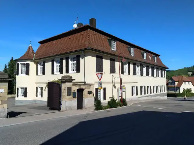
Castle · after 119.9 km
Stages (8)
- 1Württemberger Weinradweg Etappe 1: Niederstetten - Ingelfingen63.4 km
- 2Württemberger Weinradweg Etappe 2: Ingelfingen - Bretzfeld48.2 km
- 3Württemberger Weinradweg Etappe 3: Bretzfeld - Heilbronn28.1 km
- 4Württemberger Weinradweg Etappe 4: Heilbronn - Marbach a. N.76.7 km
- 5Württemberger Weinradweg Etappe 5: Marbach - Esslingen67.6 km
- 6Württemberger Weinradweg Etappe 6: Esslingen - Metzingen49 km
- 7Württemberger Weinradweg Etappe 7: Metzingen - Rottenburg a. N.62.5 km
- 8Verbindungsstrecke Württemberger Weinradweg - Badischer Weinradweg19.1 km
Elevation and terrain
- Up
- ↑ 2,583 m
- Down
- ↓ 2,515 m
- Highest point
- 480 m
- Lowest point
- 154 m
- 5-10% slope · 15.1 km
- 10-15% slope · 766 m
- 20% slope or steeper · 506 m
Elevation from Copernicus GLO-30 (European Union and ESA), smoothed.
produced using Copernicus WorldDEM-30 © DLR e.V. 2010-2014 and © Airbus Defence and Space GmbH 2014-2018 provided under COPERNICUS by the European Union and ESA; all rights reserved
Way types
414.5 km in total- Track: 159.1 km
- Street: 109.4 km
- Path: 69 km
- Road: 47.3 km
- Cycle path: 11.6 km
- Busy road: 8.5 km
- Footpath (walk your bike): 8.2 km
- Unknown: 175 m
Surfaces
414.5 km in total- Asphalt: 356.7 km
- Paved: 17.1 km
- Gravel: 15.2 km
- Unknown: 24.2 km
About the cycle route Württemberger Weinradweg
Updated on 14 November 2026, with data from OpenStreetMap, the AHN and Copernicus.
Where do you cycle?
Württemberger Weinradweg is a cycle route of 414.5 km that starts in Niederstetten. It does not end where it starts. Along the way you pass Schloss Laudenbach (after 7.2 km), Tauberländer Dorfmuseum (after 11.7 km) and Schlosskirche (after 24.8 km).
How hard is the route?
You climb 2,583 m in total and descend 2,515 m. Allow ± 3:25 h per stage, without breaks. Per stage the level is moderate.
What roads do you cycle on?
The longest part is track (159.1 km), street (109.4 km) and path (69 km). Of the surface, 356.7 km asphalt and 17.1 km paved. For 24.2 km the surface is not known.
Pitstops along the way
Within 100 metres of the route there are 1,614 benches, 26 water fountains and refill points, 50 public toilets, 41 bike pumps and 7 honesty boxes and farm vending machines. The longest stretch without a toilet is 42 km. The Outdoor Pitstop app navigates you there.
Cycle routes nearby
6- Hohenloher ResidenzenwegModerate · From A to B47.4 km
- Liebliches Taubertal - Der "Sportive"Hard · From A to B162.6 km
- Wein-RadreiseEasy · From A to B24.7 km
- Kraichgau-Hohenlohe-RadwegHard · From A to B184.9 km
- Liebliches Taubertal - Der "Klassiker"Hard · From A to B101.7 km
- Main-Tauber-Fränkischer Rad-AchterHard · From A to B332.1 km
Sights nearby
Within 10 km of the route, best known first.
- 1
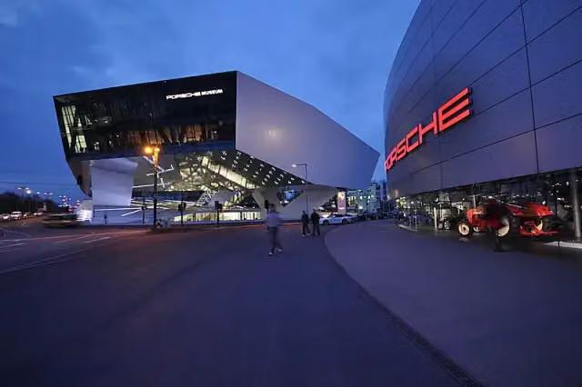 Porsche MuseumMuseum · 4 km from the route
- 2
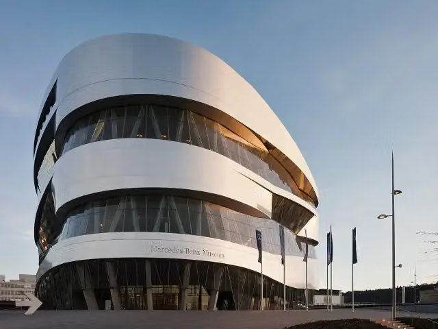 Mercedes-Benz MuseumMuseum · 2.6 km from the route
- 3
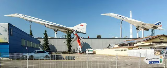 Technik-Museum SinsheimMuseum · 9.5 km from the route
- 4
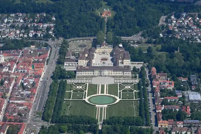 Schloss LudwigsburgAttraction · 1.9 km from the route
- 5
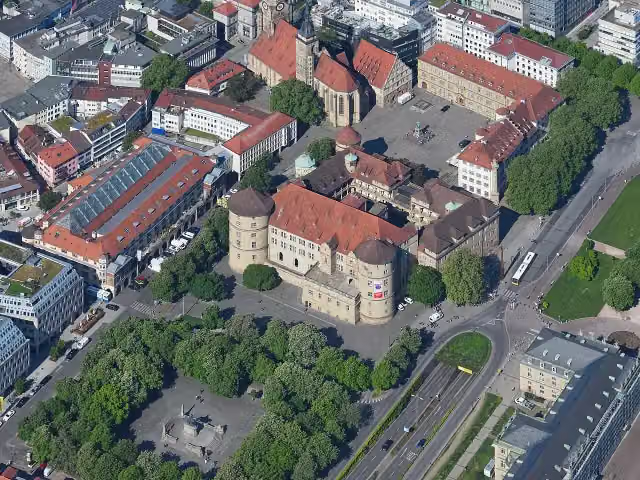 Altes SchlossCastle · 5.6 km from the route
- 6
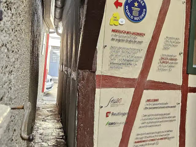 SpreuerhofstraßeAttraction · 7 km from the route
- 7
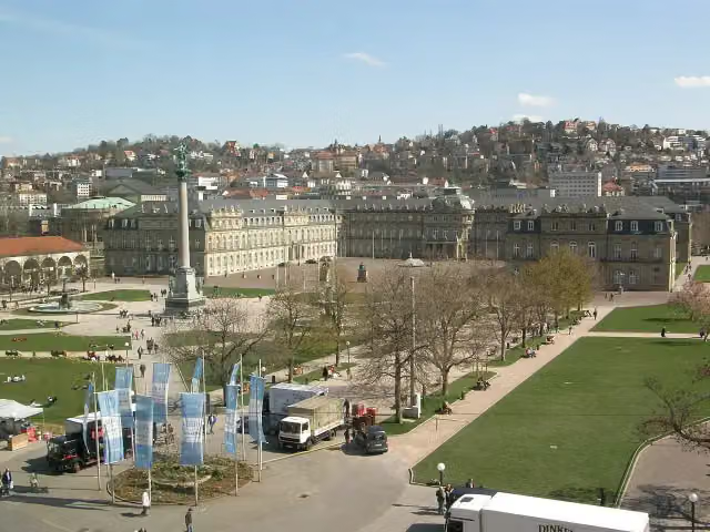 Neues SchlossCastle · 5.4 km from the route
- 8
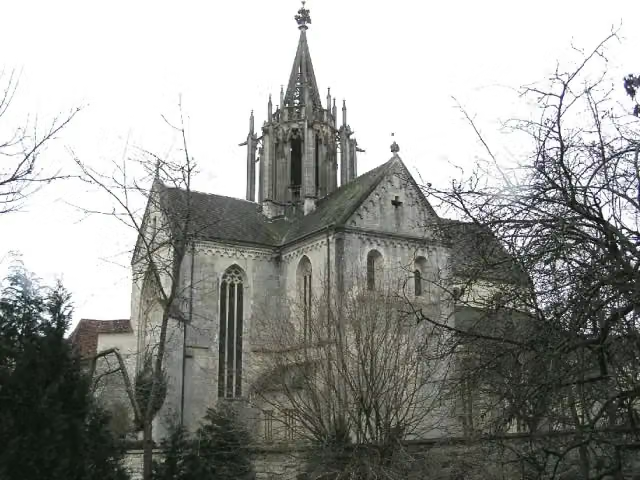 Kloster BebenhausenMuseum · 4.3 km from the route
- 9
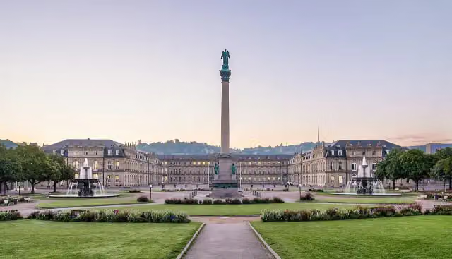 SchlossplatzAttraction · 5.5 km from the route
- 10
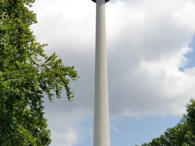 Fernsehturm StuttgartAttraction · 6.4 km from the route
- 11
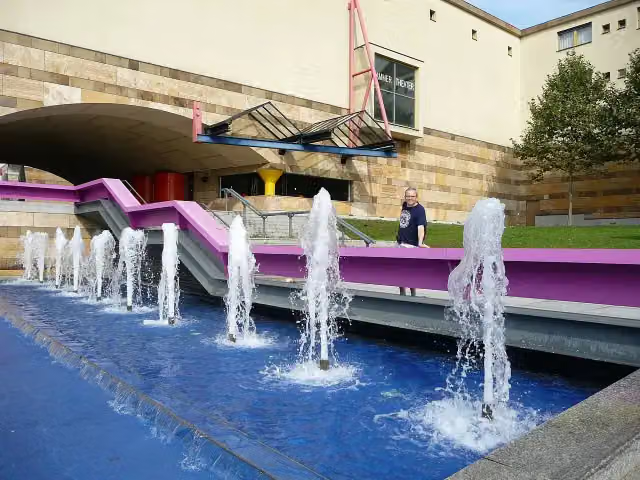 StaatsgalerieMuseum · 4.9 km from the route
- 12
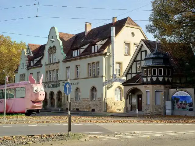 SchweinemuseumMuseum · 3.1 km from the route
- 13
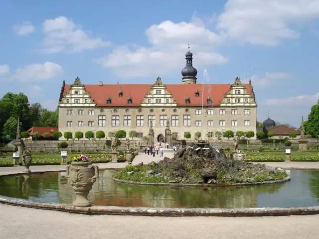 Schloss WeikersheimAttraction · 162 m from the route
- 14
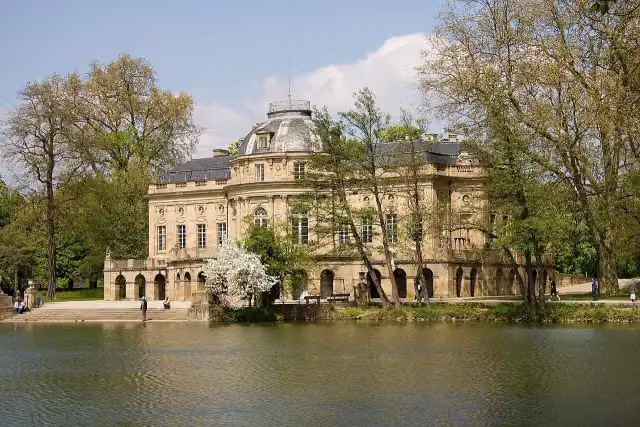 Monrepos CastleAttraction · 3.1 km from the route
- 15
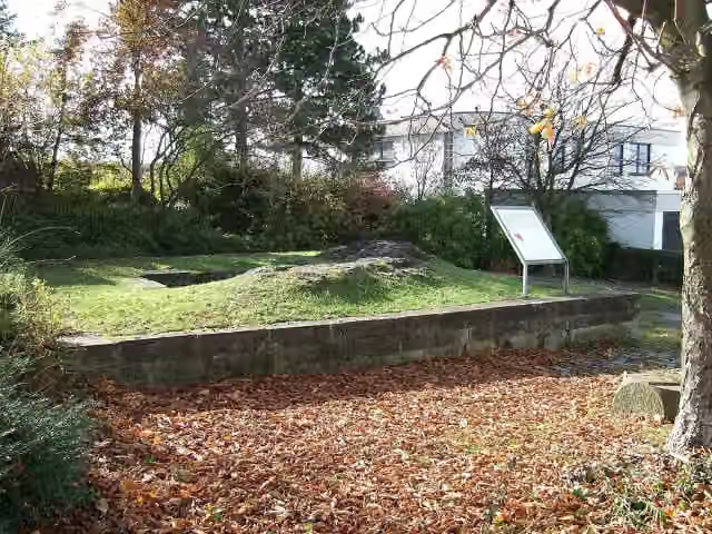 Burg FrauenbergCastle · 4.6 km from the route
- 16
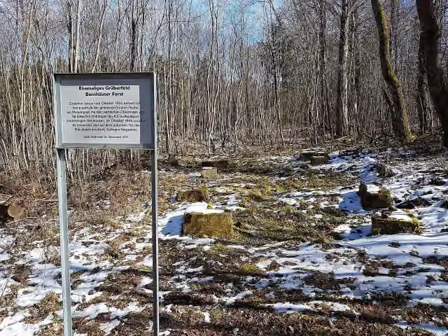 Ehemaliges Gräberfeld, Bernhäuser ForstMemorial · 8.2 km from the route
- 17
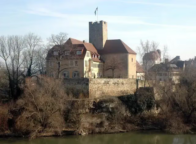 GrafenburgCastle · 101 m from the route
- 18
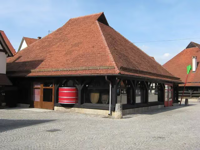 WeinbaumuseumMuseum · 103 m from the route
- 19
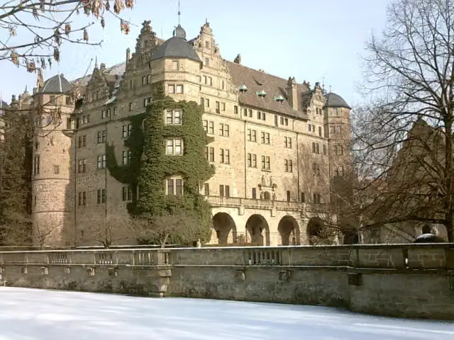 Neuenstein CastleAttraction · 106 m from the route
- 20
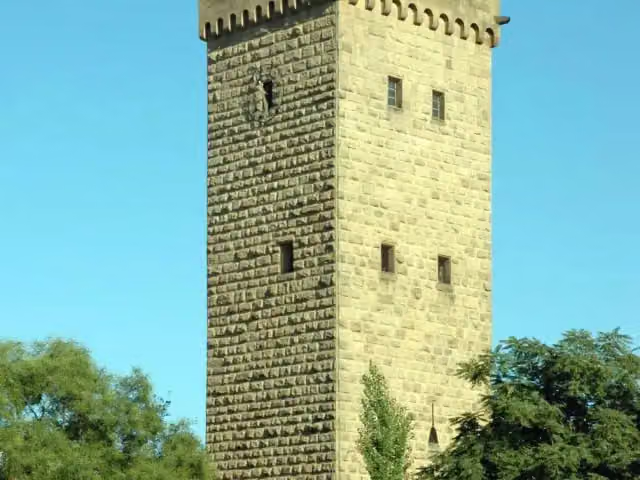 GötzenturmAttraction · 116 m from the route
- 21
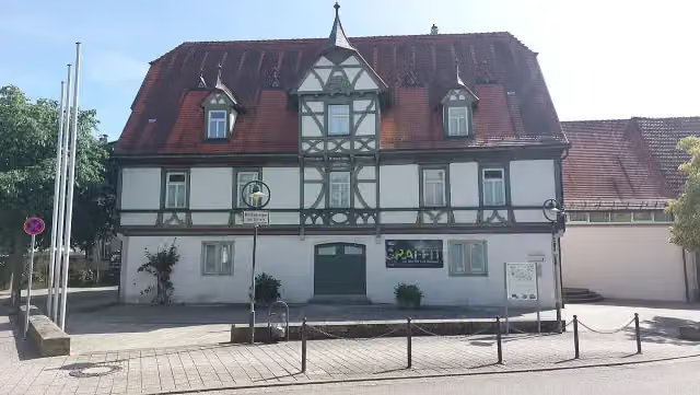 Stadtmuseum NürtingenMuseum · 122 m from the route
- 22
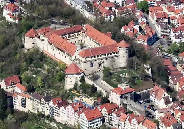 Schloss HohentübingenAttraction · 145 m from the route
- 23
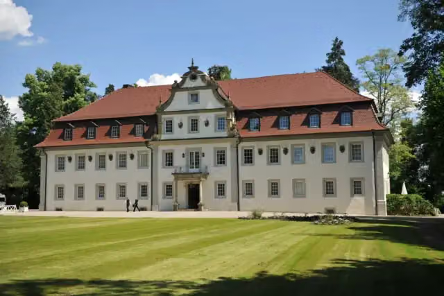 Jagdschloss FriedrichsruheCastle · 146 m from the route
- 24
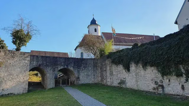 Burg HofenRuins · 147 m from the route
- 25
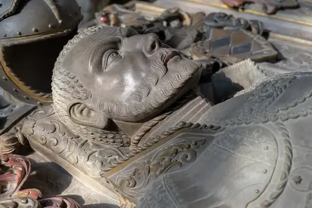 GrablegeAttraction · 148 m from the route
Explore more
More cycle routes around Niederstetten
Frequently asked questions
How long is Württemberger Weinradweg?
Württemberger Weinradweg is 414.5 km long, in 8 stages of 51.8 km on average. Allow ± 3:25 h per stage of riding: 15 km an hour, without breaks.
How many stages does this route have?
The route is split into 8 stages of 51.8 km on average, 414.5 km in all. The shortest stage is 19.1 km, the longest 76.7 km.
Is this route a circular ride?
No, the route starts and ends at different spots.
Where does this route start?
The route starts in Niederstetten.
How hard is this route?
Moderate per stage, with 323 m per stage of climbing.
Are there toilets along this route?
Yes, there are 50 public toilets within 100 m of the route. The longest stretch without a toilet is 42 km.
Can you fill up with water along this route?
Yes, there are 26 water fountains and refill points within 100 m of the route.
What is there to see along this route?
Along the way you pass Schloss Laudenbach, Tauberländer Dorfmuseum and Schlosskirche.
Which stage of this route has the most points of interest?
Stage 1 (63.4 km), with 6 points of interest along the route, such as Schloss Laudenbach, Tauberländer Dorfmuseum and Schlosskirche.
Can I download this route as a GPX file?
Yes. Sign in with your Outdoor Pitstop account and choose Download GPX at the top of this page: 10 routes a month for free, unlimited with Pro.
Starting point
More routes from this place
Route data © OpenStreetMap contributors





