 Outdoor Pitstop
Cycle route · Bad Bentheim · Updated on 5 November 2026
Oranjefietsroute
Oranjefietsroute is a cycle route of 191.1 km from Bad Bentheim. Along the way you'll find 371 benches and picnic tables, 7 water fountains and refill points and 6 public toilets.
i
i
i
The route step by step
From start to finish, with what you pass along the way and the distance in between.
- 191.1 km
- ± 1:15 h per stage
- Easy per stage
- From A to B
- National route
- Colour of the signs
Start in Bad Bentheim
0 km5.2 km · bench
Public toilet
5.2 km11.3 km · 34 benches
Public toilet and water point
16.5 km7.6 km · 31 benches
Public toilet
24.1 km8.9 km · 8 benches
Water point
33 km2.7 km · 7 benches

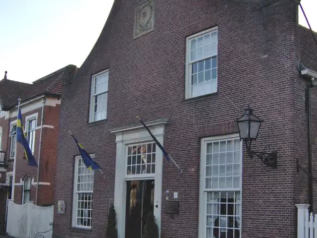
Bussemakerhuis
35.7 kmMuseum
1.7 km · 31 benches
Water point
37.4 km13.9 km · 26 benches
Water point
51.3 km72.4 km · 55 benches
Water point
123.7 km1.5 km · bench
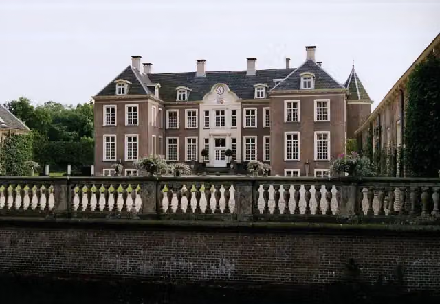
Kasteel Ampsen
125.3 kmCastle · Audio story · 2 min
1.7 km · 2 benches
Water point
127 km13.1 km · 20 benches
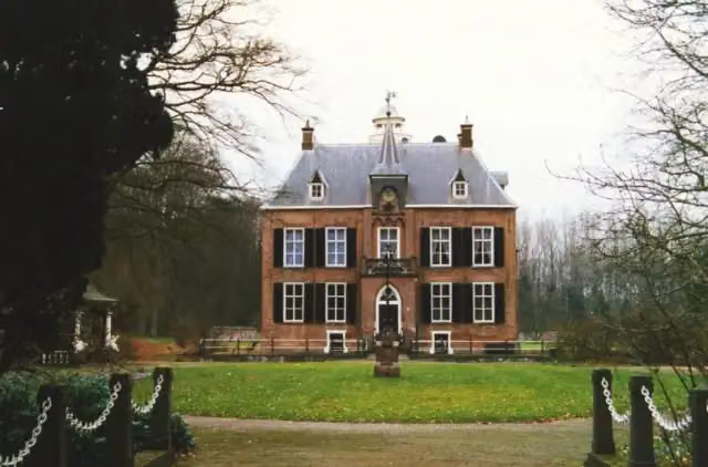
Den Bramel
140.1 kmCastle
10.1 km · 14 benches
Public toilet
150.2 km2.8 km · 20 benches
Public toilet
153 km1 km · 14 benches
Public toilet and water point
154 km23 km · 54 benches
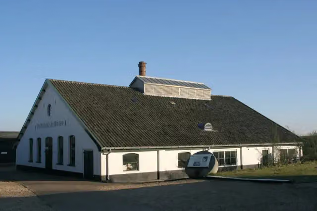
Papierfabriek De Middelste Molen
177.1 kmMuseum
14 km · 53 benches
Finish
191.1 km
Longest stretch without a toilet: 126.1 kmBetween 24.1 km and 150.2 km there is no public toilet within 100 m of the route.
The route with the water points, toilets and sights within 100 m of it.
4 sights along the way
In the order you pass them. With the Outdoor Pitstop app you hear their story on the spot.
Bussemakerhuis
Museum · after 35.7 km
- Audio story · 2 min
i
Photo: Kasteelbeer · Wikimedia Commons · CC BY-SA 3.0 nlView the photo on Wikimedia CommonsKasteel Ampsen
Castle · after 125.3 km
 Story
i
Photo: Peter van der Wielen · Wikimedia Commons · CC BY-SA 3.0 nlView the photo on Wikimedia CommonsDen Bramel
Castle · after 140.1 km
- Story
i
Photo: Quistnix at nl.wikipedia · Wikimedia Commons · CC BY-SA 2.5View the photo on Wikimedia CommonsPapierfabriek De Middelste Molen
Museum · after 177.1 km
Stages (10)
- 104 - Bad Bentheim - De Lutte10.2 km
- 205 - De Lutte - Oldenzaal6.3 km
- 306 - Oldenzaal - Borne20 km
- 407 - Borne - Delden14.3 km
- 508 - Delden - Diepenheim35.4 km
- 609 - Diepenheim - Markelo18.9 km
- 710 - Markelo - Lochem22 km
- 811 - Lochem - Zutphen26.4 km
- 912 - Zutphen - Brummen11.9 km
- 1013 - Brummen - Apeldoorn25.6 km
Elevation and terrain
Way types
191.1 km in total- Road: 95.1 km
- Cycle path: 57.9 km
- Track: 15 km
- Street: 14.8 km
- Path: 5.5 km
- Busy road: 1.7 km
- Footpath (walk your bike): 425 m
- Steps (carry your bike): 1 flight of stairs
Surfaces
191.1 km in total- Asphalt: 99.1 km
- Gravel: 40.4 km
- Paved: 24 km
- Unpaved: 3.6 km
- Natural: 3.3 km
- Unknown: 20.2 km
About the cycle route Oranjefietsroute
Updated on 5 November 2026, with data from OpenStreetMap and the AHN.
Where do you cycle?
Oranjefietsroute is a cycle route of 191.1 km that starts in Bad Bentheim. It does not end where it starts. You start in Lingen and finish in Apeldoorn. Along the way you pass Bussemakerhuis (after 35.7 km), Kasteel Ampsen (after 125.3 km) and Den Bramel (after 140.1 km).
How hard is the route?
There is 1 flight of steps along the way. Allow ± 1:15 h per stage, without breaks. Per stage the level is easy.
What roads do you cycle on?
The longest part is road (95.1 km), cycle path (57.9 km) and track (15 km). Of the surface, 99.1 km asphalt and 40.4 km gravel. For 20.2 km the surface is not known.
Pitstops along the way
Within 100 metres of the route there are 371 benches and picnic tables, 7 water fountains and refill points and 6 public toilets. The longest stretch without a toilet is 126.1 km. The Outdoor Pitstop app navigates you there.
The Oranjefietsroute is a long-distance cycle route from Lingen in Germany to Apeldoorn; the part in our data is about 190 km, from Bad Bentheim through Twente and the Achterhoek to Apeldoorn, in ten stages. You ride via De Lutte and the Lutterzand to Oldenzaal, Borne and Delden, past the Twickel estate to Diepenheim and Markelo, and via Lochem, Kasteel Ampsen and Den Bramel to Zutphen. Then it continues via Brummen and its estates to Apeldoorn. More than half is asphalt and a fifth gravel. You follow the orange signs. We know of six toilets and seven water taps on the way.
Cycle routes nearby
4Sights nearby
Within 10 km of the route, best known first.
- 1
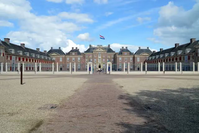 Paleis het LooCastle · 1.8 km from the route
- 2
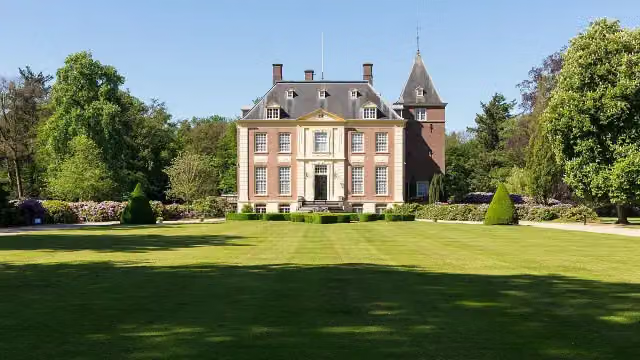 Huis VerwoldeCastle · 700 m from the route
- 3
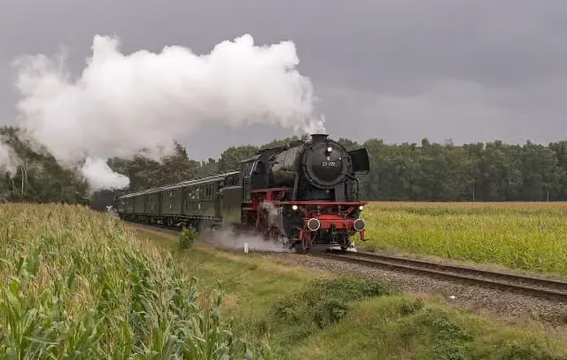 Veluwsche Stoomtrein MaatschappijMuseum · 1.1 km from the route
- 4
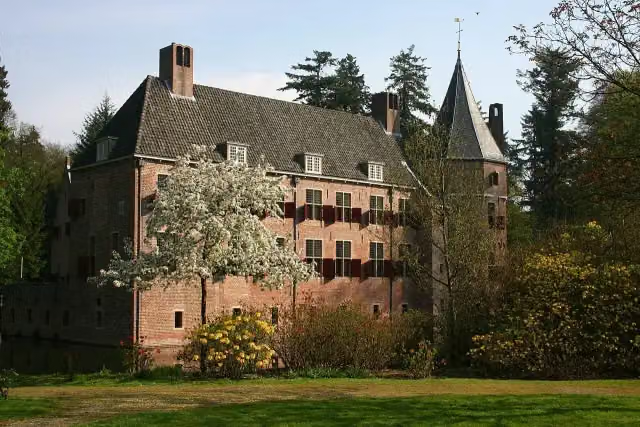 Kasteel Het Oude LooCastle · 2.1 km from the route
- 5
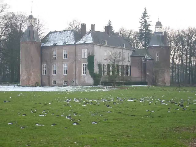 Kasteel HackfortCastle · 2.9 km from the route
- 6
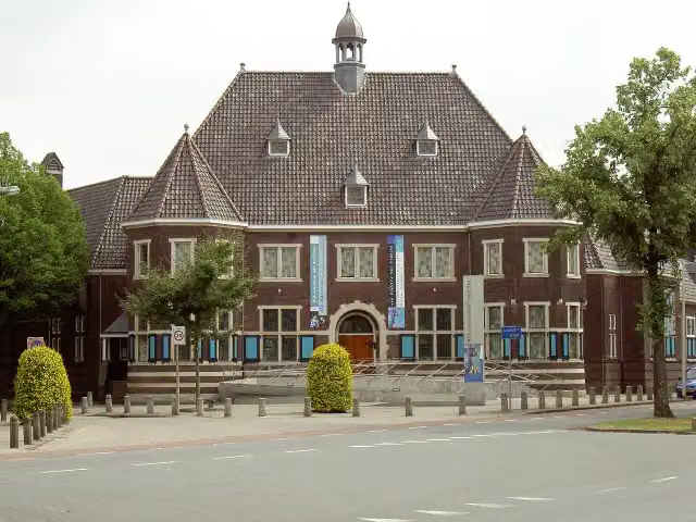 Rijksmuseum TwentheMuseum · 8 km from the route
- 7
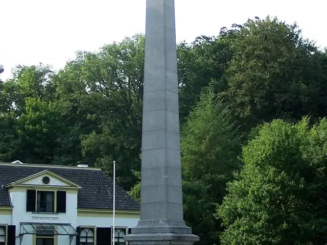 De NaaldMemorial · 1.2 km from the route
- 8
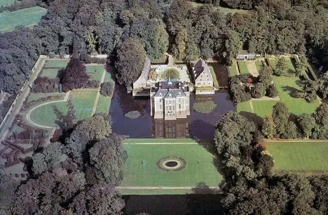 Kasteel MiddachtenCastle · 9.2 km from the route
- 9
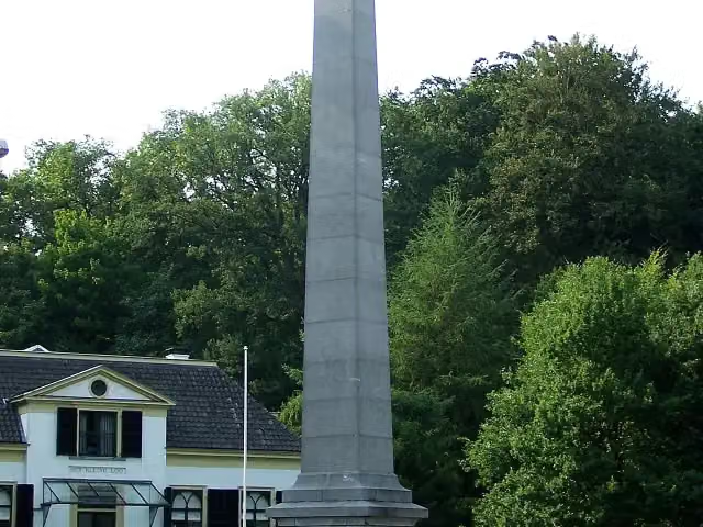 30 april 2009Memorial · 1.2 km from the route
- 10
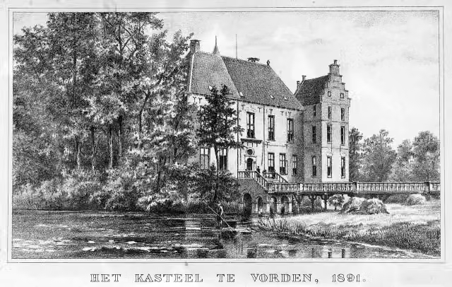 Kasteel VordenCastle · 1.4 km from the route
- 11
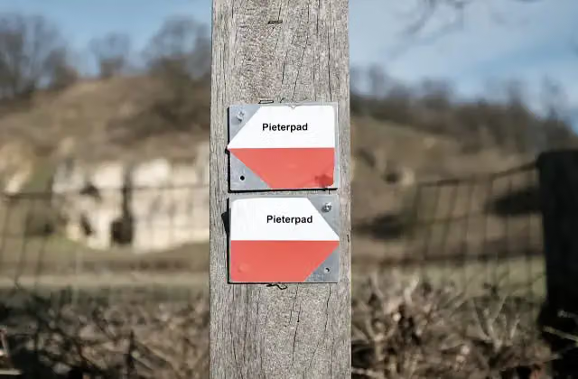 Halverwege PieterpadMemorial · 1.5 km from the route
- 12
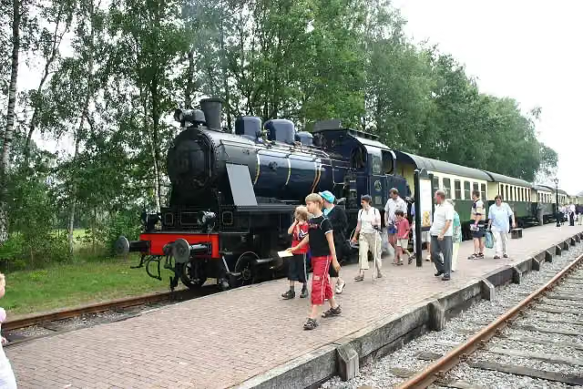 SeinhuisjeAttraction · 4.2 km from the route
- 13
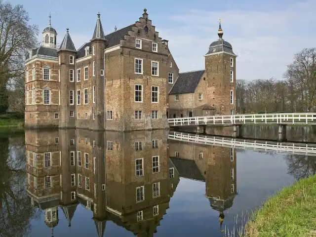 Kasteel Huize RuurloCastle · 7.9 km from the route
- 14
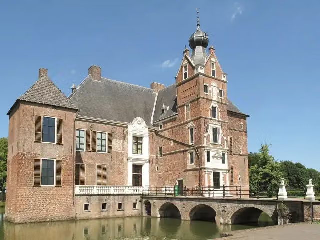 Kasteel CannenburchMuseum · 8 km from the route
- 15
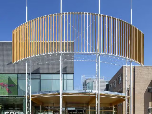 CODAMuseum · 392 m from the route
- 16
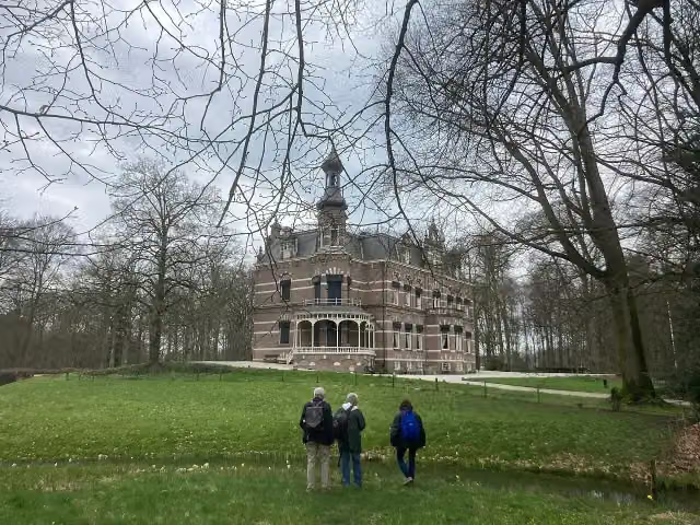 Kasteel 't SuiderasCastle · 4.4 km from the route
- 17
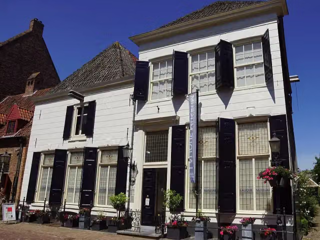 Lalique MuseumMuseum · 8.1 km from the route
- 18
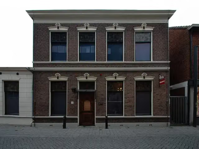 Museum HengeloMuseum · 2.8 km from the route
- 19
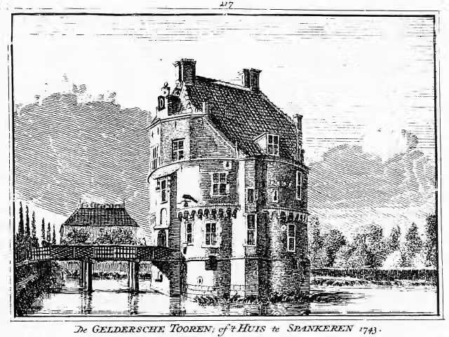 Gelderse TorenCastle · 3.3 km from the route
- 20
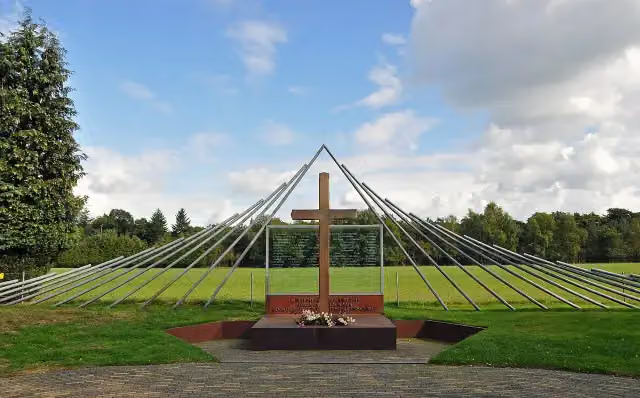 Monument Woeste HoeveMemorial · 6.9 km from the route
- 21
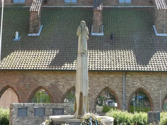 Gideon-monumentMemorial · 139 m from the route
- 22
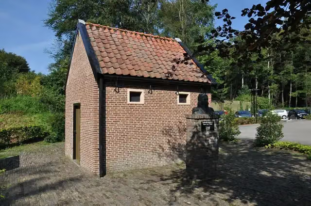 De EchoputAttraction · 5.6 km from the route
- 23
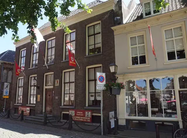 Streekmuseum De Roode ToorenMuseum · 8.2 km from the route
- 24
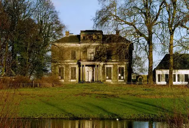 Kasteel ReuversweerdCastle · 3.1 km from the route
- 25
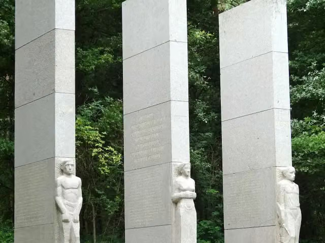 Provinciaal Verzetsmonument OverijsselMemorial · 240 m from the route
Explore more
Frequently asked questions
How long is Oranjefietsroute?
Oranjefietsroute is 191.1 km long, in 10 stages of 19.1 km on average. Allow ± 1:15 h per stage of riding: 15 km an hour, without breaks.
Is this route a circular ride?
No, the route runs from Lingen to Apeldoorn.
Where does this route start?
The route starts in Bad Bentheim.
How hard is this route?
Easy per stage.
Are there toilets along this route?
Yes, there are 6 public toilets within 100 m of the route. The longest stretch without a toilet is 126.1 km.
Can you fill up with water along this route?
Yes, there are 7 water fountains and refill points within 100 m of the route.
What is there to see along this route?
Along the way you pass Bussemakerhuis, Kasteel Ampsen and Den Bramel.
Starting point
More routes from this place
Route data © OpenStreetMap contributors





