 Outdoor Pitstop
Cycle route · Kapelle · Updated on 5 November 2026
Jo de Roo wielerroute cycle route
Jo de Roo wielerroute is a cycle route of 107 km from Kapelle. Along the way: 46 benches and picnic tables, 1 water point, 1 public toilet and 1 food stand.
The route step by step
From start to finish, with what you pass along the way and the distance in between.
- 107 km
- ± 7:10 h
- ↑ 95 m · ↓ 101 m
- Hard
- From A to B
- Local route
- Colour of the signs
Start in Kapelle
0 km24.5 km · 11 benches
Public toilet
24.5 km42.3 km · 14 benches
Food stand
66.8 km885 m
Water point
67.7 km39.3 km · 21 benches
Finish
107 km
Longest stretch without a toilet: 82.5 kmBetween 24.5 km and 107 km there is no public toilet within 100 m of the route.
The route with the pitstops and sights within 100 m of it.
Elevation and terrain
- Up
- ↑ 95 m
- Down
- ↓ 101 m
- Highest point
- 19 m
- Lowest point
- -1 m
Nowhere steeper than 5%.
Elevation from AHN (Rijkswaterstaat), smoothed.
Way types
107 km in total- Road: 59.2 km
- Cycle path: 25.2 km
- Street: 21.7 km
- Busy road: 825 m
Surfaces
107 km in total- Asphalt: 55.9 km
- Paved: 3.5 km
- Unknown: 47.5 km
About the cycle route Jo de Roo wielerroute
Updated on 5 November 2026, with data from OpenStreetMap and the AHN.
Where do you cycle?
Jo de Roo wielerroute is a cycle route of 107 km that starts in Kapelle. It does not end where it starts.
How hard is the route?
You climb 95 m in total and descend 101 m. Allow ± 7:10 h, without breaks. The level is hard.
What roads do you cycle on?
The longest part is road (59.2 km), cycle path (25.2 km) and street (21.7 km). Of the surface, 55.9 km asphalt and 3.5 km paved. For 47.5 km the surface is not known.
Pitstops along the way
Within 100 metres of the route there are 46 benches and picnic tables, 1 water point, 1 public toilet and 1 food stand. You can fill your bottle after 67.7 km. The longest stretch without a toilet is 82.5 km. The Outdoor Pitstop app navigates you there.
The Jo de Roo wielerroute is a road-bike loop of about 107 km across Zuid-Beveland and a small part of West Brabant, through the area where the Zeeland racing cyclist Jo de Roo grew up. You ride via Kattendijke, Wilhelminadorp, Vlake, Bath, Waarde and Schore, along the Oosterschelde and the Westerschelde and Saeftinghe, through the municipalities of Goes, Kapelle, Reimerswaal and Woensdrecht. It is signposted clockwise and can be shortened to two loops. Just over half is asphalt. We know of one toilet, one water tap and a food stall on the way.
Source: Wikipedia (CC BY-SA)
Cycle routes nearby
3Sights nearby
Within 10 km of the route, best known first.
- 1
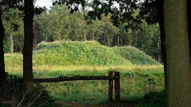 Fort De RoovereFort · 9.2 km from the route
- 2
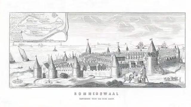 ReimerswaalArchaeological site · 6.7 km from the route
- 3
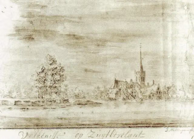 ValkenisseArchaeological site · 585 m from the route
- 4
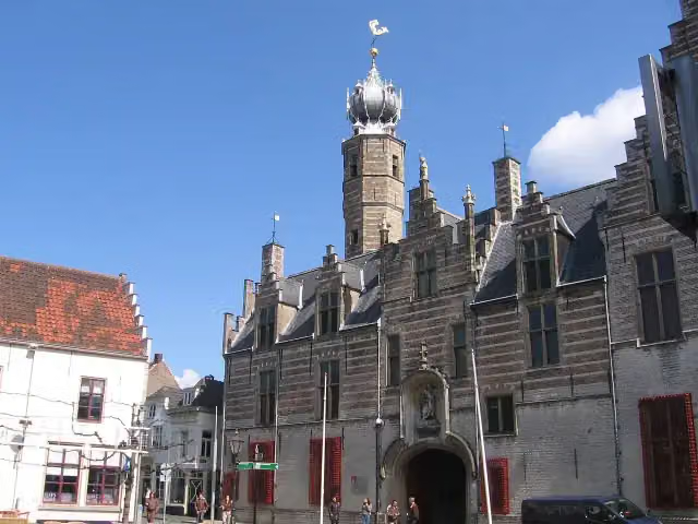 MarkiezenhofMuseum · 5.7 km from the route
- 5
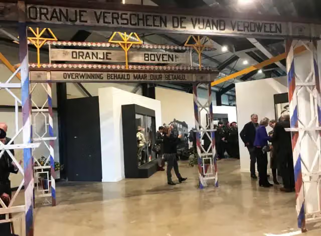 Zeeland Liberation MuseumMuseum · 7.8 km from the route
- 6
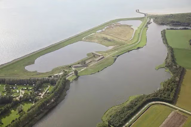 WatersnoodmuseumMuseum · 9.7 km from the route
- 7
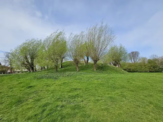 Berg van TrojeArchaeological site · 9.9 km from the route
- 8
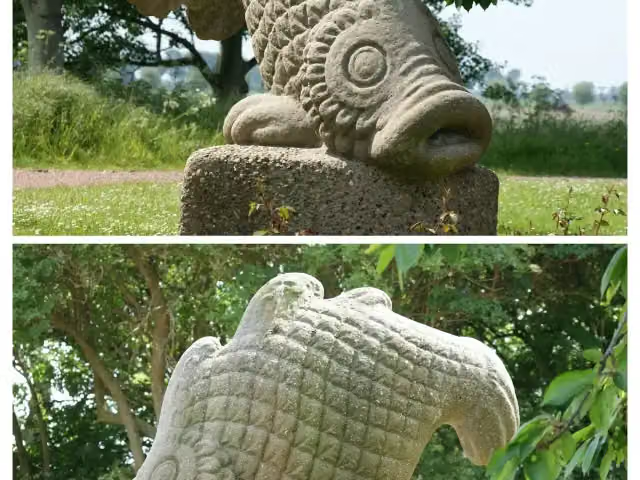 Watersnoodmonument StavenisseMemorial · 7.1 km from the route
- 9
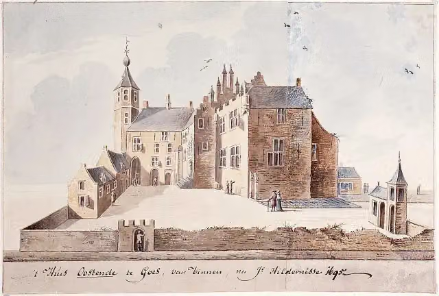 CastleCastle · 2 km from the route
- 10
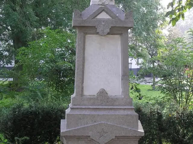 MemorialMemorial · 3.1 km from the route
- 11
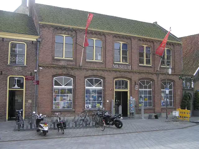 Historisch museum de BevelandenMuseum · 2 km from the route
- 12
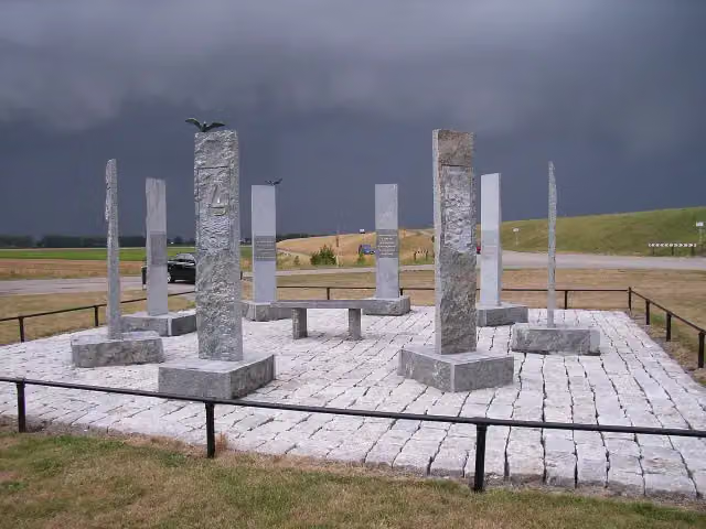 WatersnoodmonumentMemorial · 5.1 km from the route
- 13
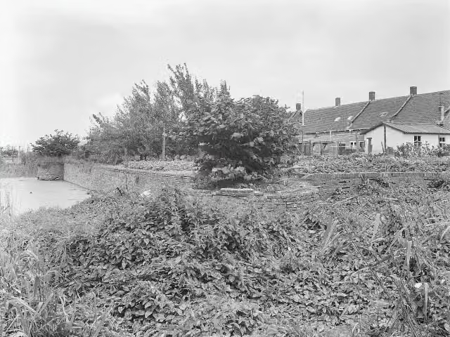 Het BosCastle · 7.2 km from the route
- 14
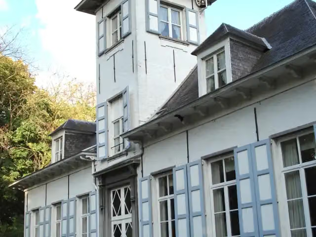 Kasteel ReigershofCastle · 8 km from the route
- 15
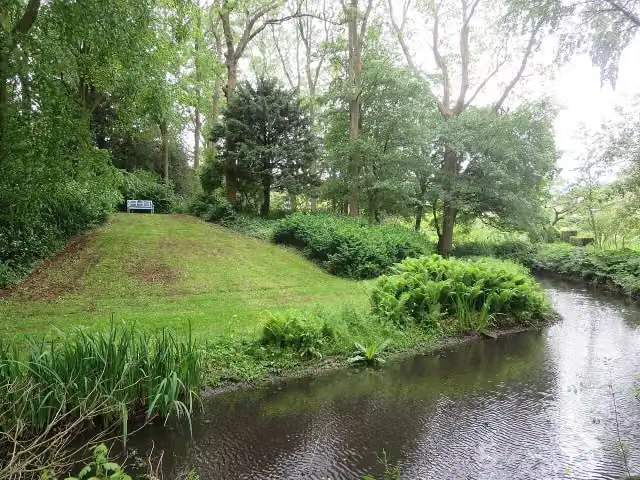 VliedbergArchaeological site · 9.2 km from the route
- 16
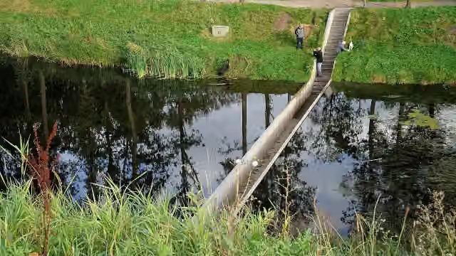 Moses BridgeAttraction · 9.3 km from the route
- 17
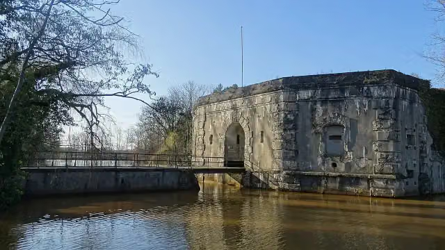 Fort van StabroekFort · 9.3 km from the route
- 18
 Zeeuws Fruit MuseumMuseum · 2.7 km from the route
- 19KraaijenbergMuseum · 2.5 km from the route
- 20Uitkijktoren KraaijenbergObservation tower · 2.5 km from the route
- 21Observation towerObservation tower · 3.3 km from the route
- 22Observation towerObservation tower · 3.7 km from the route
- 23WilhelmietenmuseumMuseum · 4.9 km from the route
- 24PanoramaheuvelViewpoint · 6.5 km from the route
- 25PolderMASMuseum · 6.5 km from the route
Explore more
More cycle routes around Kapelle
Frequently asked questions
How long is Jo de Roo wielerroute?
Jo de Roo wielerroute is 107 km long. Allow ± 7:10 h of riding: 15 km an hour, without breaks.
Is this route a circular ride?
No, the route starts and ends at different spots.
Where does this route start?
The route starts in Kapelle.
How hard is this route?
Hard, with 95 m of climbing.
Are there toilets along this route?
Yes, there are 1 public toilet within 100 m of the route. The longest stretch without a toilet is 82.5 km.
Can you fill up with water along this route?
Yes, there are 1 water point within 100 m of the route.
Start place
More routes from this place
Route data © OpenStreetMap contributors





