 Outdoor Pitstop
Walking route · Het Hogeland · Pieterpad part 1 - Pieterburen-Vorden · Updated on 6 November 2026
Pieterpad deel 1 - Pieterburen-Vorden walk
Pieterpad deel 1 - Pieterburen-Vorden is a walk of 239.8 km from Het Hogeland. Along the way you'll find 631 benches and picnic tables, 21 water fountains and refill points and 17 public toilets.
i
i
i
The route step by step
From start to finish, with what you pass along the way and the distance in between.
- 239.8 km
- ± 4:10 h per stage
- ↑ 305 m · ↓ 294 m
- Moderate per stage
- From A to B
- National route
Start in Het Hogeland
0 km4.8 km · 4 benches
Public toilet
4.8 km26.6 km · 85 benches
Water point
31.3 km180 m · 5 benches

Noorderplantsoen
31.5 kmPublic toilet
157 m · 13 benches
Public toilet
31.7 km650 m · 30 benches
Public toilet
32.3 km296 m · 14 benches
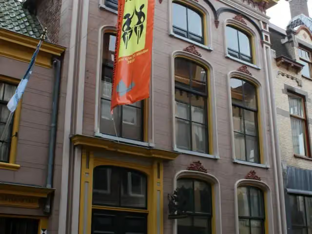
Museum aan de A
32.6 km2 public toilets
599 m · 28 benches
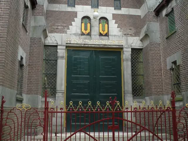
Synagoge Groningen
33.2 kmMuseum · Audio story · 2 min
245 m · 8 benches
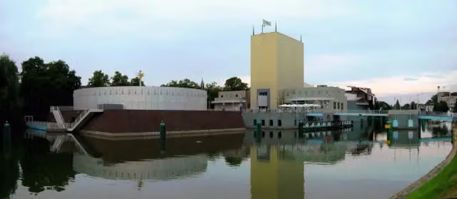
Groninger Museum
33.4 km4 public toilets and 2 water fountains and refill points
151 m · 4 benches
Water point
33.6 km9.9 km · 60 benches
Water point
43.5 km9.3 km · 16 benches
Hunebed D3 Midlaren and 1 more
52.8 kmHunebed D4 Hunenborg
2.2 km · 13 benches
2 water fountains and refill points
55 km3.2 km · 23 benches
Public toilet
58.1 km189 m
Public toilet
58.3 km5.3 km · 10 benches
Hunebed D10 Gasteren
63.6 kmAttraction
8.6 km · 14 benches
Hunebed D17 Rolde and 1 more
72.2 kmHunebed D18 Rolde
2.1 km · 3 benches
Public toilet
74.3 km513 m
Water point
74.8 km18.2 km · 29 benches
Water point
93.1 km21.1 km · 21 benches
Water point
114.2 km20.7 km · 20 benches
Kasteel van Coevorden
134.9 kmCastle · Audio story · 2 min
389 m · 10 benches
2 water fountains and refill points
135.3 km19.5 km · 56 benches
Water point
154.8 km23.4 km · 37 benches
Herdenkingsmonument Kamp Erika
178.2 kmMemorial · Audio story · 2 min
3 km · 3 benches
Water point
181.2 km14.5 km · 17 benches
Water point
195.6 km3.9 km · 20 benches
Rijkswerkkamp Twilhaar
199.6 kmMemorial
10.2 km · 27 benches
Public toilet
209.8 km1.5 km · 7 benches
2 public toilets and 2 water fountains and refill points
211.3 km
Show the other 5 steps
304 m · 9 benches
Water point
211.6 km14.7 km · 20 benches
2 water fountains and refill points
226.3 km10.9 km · 16 benches
Den Bramel
237.2 kmCastle
1.8 km · 5 benches
Public toilet and water point
239 km721 m · 4 benches
Finish
239.8 km
Longest stretch without a toilet: 135.4 kmBetween 74.3 km and 209.8 km there is no public toilet within 100 m of the route.
The route with the water points, toilets and sights within 100 m of it.
13 sights along the way
In the order you pass them. With the Outdoor Pitstop app you hear their story on the spot. 5 more along the route are on the map.
- Audio story · 2 min
i
Photo: Janwillemvanaalst · Wikimedia Commons · CC BY-SA 4.0View the photo on Wikimedia CommonsNoorderplantsoen
Archaeological site · after 31.6 km
Museum aan de A
Museum · after 32.6 km
- Audio story · 2 min
i
Photo: Weefemwe · Wikimedia Commons · CC BY-SA 3.0 nlView the photo on Wikimedia CommonsSynagoge Groningen
Museum · after 33.2 km
 Audio story · 2 min
i
Photo: nl:Gebruiker:Ra-smit, colour adapted by User:Lyzzy · Wikimedia Commons · CC BY-SA 3.0View the photo on Wikimedia CommonsGroninger Museum
Museum · after 33.5 km
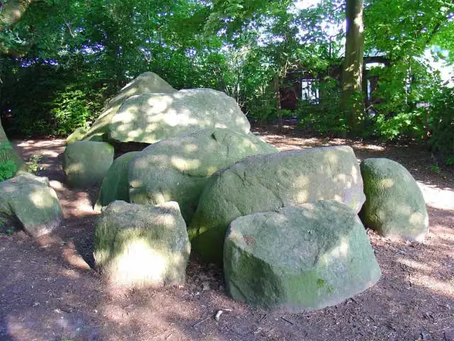 Story
Hunebed D3 Midlaren
Archaeological site · after 52.8 km
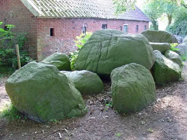 Story
hunebed D4 Hunenborg
Archaeological site · after 52.8 km
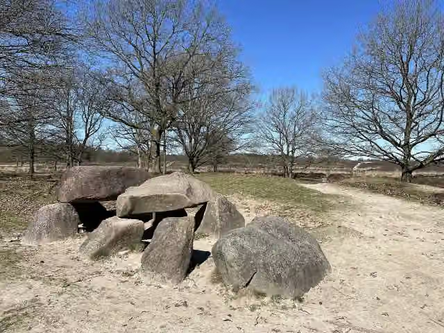 Story
i
Photo: Vincent van Zeijst · Wikimedia Commons · CC BY-SA 4.0View the photo on Wikimedia CommonsHunebed D10 Gasteren
Attraction · after 63.6 km
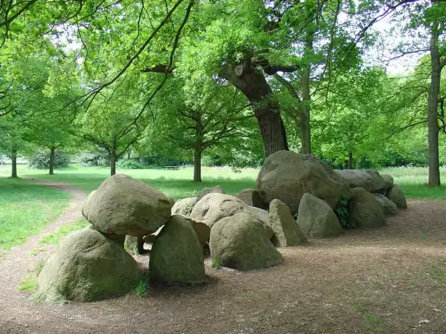 Story
Hunebed D17 Rolde
Archaeological site · after 72.2 km
Stages (13)
- 1Pieterpad deel 1 - 1Pieterpad part 1 - 112.1 km
- 2Pieterpad deel 1 - 2Pieterpad part 1 - 221.5 km
- 3Pieterpad deel 1 - 3Pieterpad part 1 - 321.4 km
- 4Pieterpad deel 1 - 4Pieterpad part 1 - 417.3 km
- 5Pieterpad deel 1 - 5Pieterpad part 1 - 518.4 km
- 6Pieterpad deel 1 - 6Pieterpad part 1 - 623.4 km
- 7Pieterpad deel 1 - 7Pieterpad part 1 - 721.3 km
- 8Pieterpad deel 1 - 8Pieterpad part 1 - 819 km
- 9Pieterpad deel 1 - 9Pieterpad part 1 - 920.6 km
- 10Pieterpad deel 1 - 10Pieterpad part 1 - 1020.9 km
- 11Pieterpad deel 1 - 11Pieterpad part 1 - 1115.5 km
- 12Pieterpad deel 1 - 12Pieterpad part 1 - 1215 km
- 13Pieterpad deel 1 - 13Pieterpad part 1 - 1313.5 km
Elevation and terrain
- Up
- ↑ 305 m
- Down
- ↓ 294 m
- Highest point
- 76 m
- Lowest point
- -0 m
- 5-10% slope · 2 km
- 6 stairs
Elevation from AHN (Rijkswaterstaat), smoothed.
Way types
239.8 km in total- Track: 78.3 km
- Road: 70.7 km
- Path: 38 km
- Cycleway: 29.9 km
- Footpath: 12.3 km
- Street: 9.3 km
- Busy road: 325 m
- Stairs: 6 stairs
Surfaces
239.8 km in total- Asphalt: 56.9 km
- Paved: 35.4 km
- Natural: 34.4 km
- Unpaved: 23.1 km
- Gravel: 15.9 km
- Unknown: 73.3 km
About the walking route Pieterpad deel 1 - Pieterburen-Vorden
Updated on 6 November 2026, with data from OpenStreetMap and the AHN.
Where do you walk?
Pieterpad deel 1 - Pieterburen-Vorden is a walking route of 239.8 km that starts in Het Hogeland. It does not end where it starts. You start in Pieterburen and finish in Vorden. Along the way you pass Noorderplantsoen (after 31.6 km), Museum aan de A (after 32.6 km) and Synagoge Groningen (after 33.2 km).
How hard is the route?
You climb 305 m in total and descend 294 m. There are 6 flights of steps along the way. Allow ± 4:10 h per stage, without breaks. Per stage the level is moderate.
What paths do you walk on?
The longest part is track (78.3 km), road (70.7 km) and path (38 km). Of the surface, 56.9 km asphalt and 35.4 km paved. For 73.3 km the surface is not known.
Pitstops along the way
Within 100 metres of the route there are 631 benches and picnic tables, 21 water fountains and refill points and 17 public toilets. The longest stretch without a toilet is 135.4 km. The Outdoor Pitstop app navigates you there.
Part of Pieterpad (LAW 9)
Website of the routeWalks nearby
6- Nederlands Kustpad deel 3, sectie 10A1Moderate · From A to B13.8 km
- Nederlands Kustpad deel 3, sectie cHard · From A to B21.9 km
- Nederlands Kustpad deel 3, sectie 10Moderate · From A to B18.9 km
- Nederlands Kustpad deel 3, sectie 11Moderate · From A to B19.3 km
- Groningen Loopt: De Marne 2Moderate · Circular walk12.5 km
- Groningen Loopt: De Marne 1Moderate · Circular walk19.2 km
Sights nearby
Within 10 km of the route, best known first.
- 1
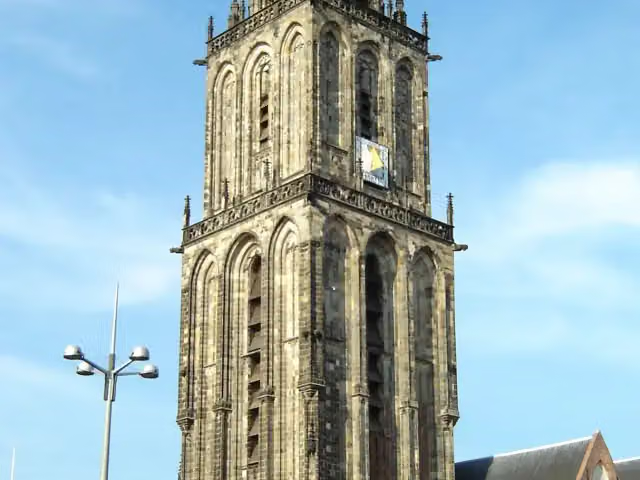 MartinitorenViewpoint · 406 m from the route
- 2
 Hortus HarenAttraction · 1.4 km from the route
- 3
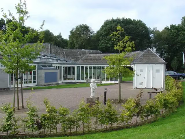 HunebedcentrumMuseum · 4.7 km from the route
- 4
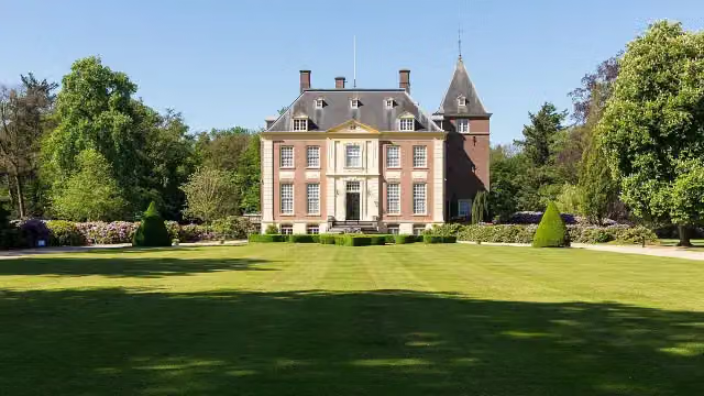 Huis VerwoldeCastle · 143 m from the route
- 5
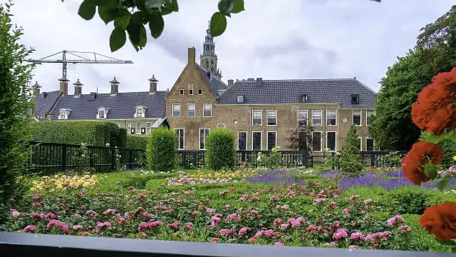 PrinsentuinAttraction · 610 m from the route
- 6
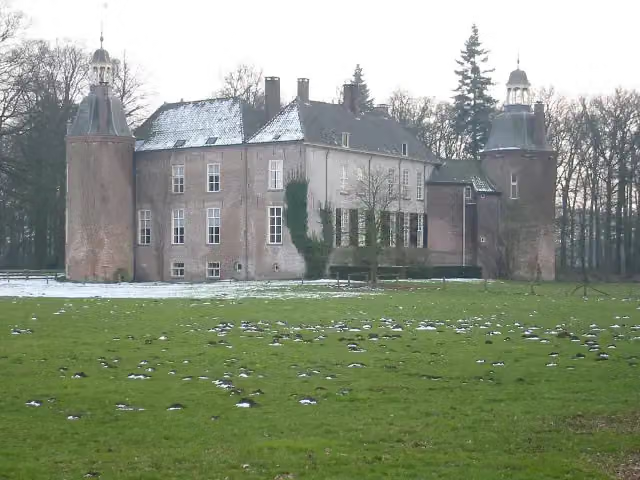 Kasteel HackfortCastle · 2.7 km from the route
- 7
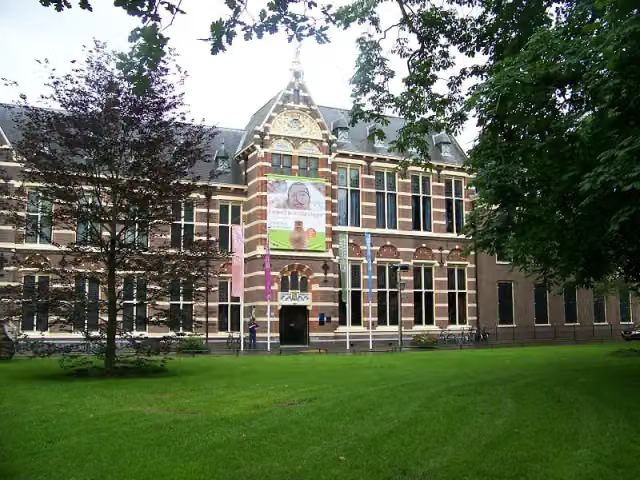 Drents MuseumMuseum · 5 km from the route
- 8
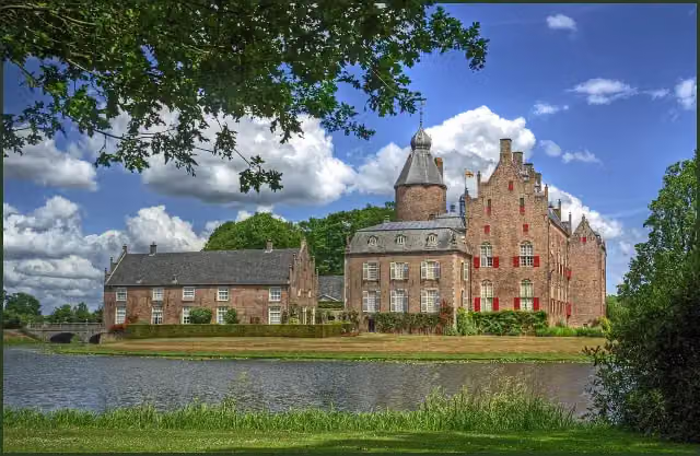 Kasteel RechterenCastle · 8.3 km from the route
- 9
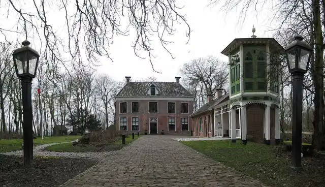 AllersmaborgAttraction · 2.6 km from the route
- 10
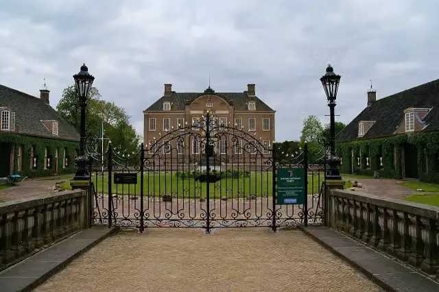 Kasteel EerdeCastle · 1.7 km from the route
- 11
 Internationaal KlompenmuseumMuseum · 3.4 km from the route
- 12
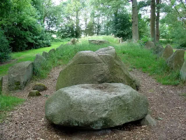 Hunebed D43 Emmen SchimmeresArchaeological site · 6 km from the route
- 13
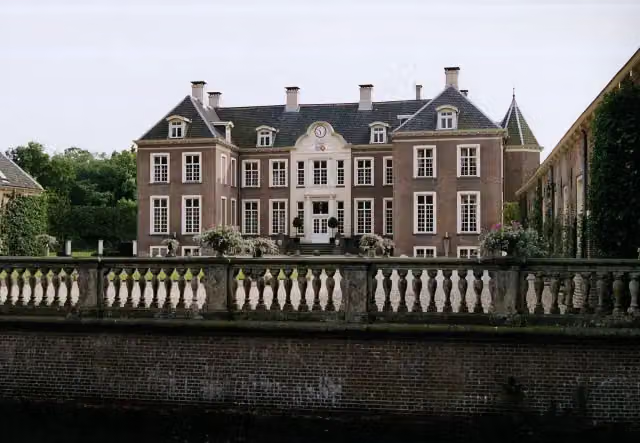 Kasteel AmpsenCastle · 3.5 km from the route
- 14
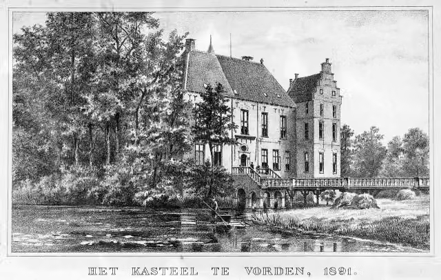 Kasteel VordenCastle · 130 m from the route
- 15
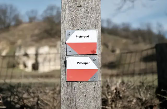 Halverwege PieterpadMemorial · 198 m from the route
- 16
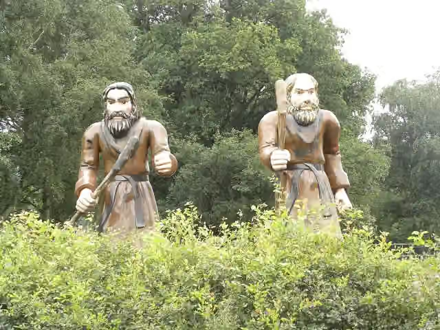 Openluchtmuseum Ellert en BrammertMuseum · 866 m from the route
- 17
 Gold RushAttraction · 5.7 km from the route
- 18
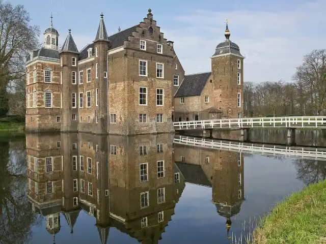 Kasteel Huize RuurloCastle · 8.9 km from the route
- 19
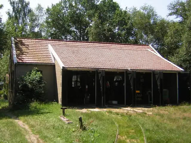 Industrieel Smalspoor MuseumMuseum · 9.6 km from the route
- 20
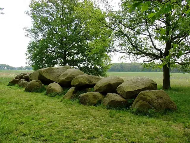 Hunebed D16 BallooArchaeological site · 1.6 km from the route
- 21
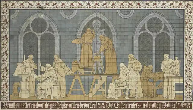 KloostermuseumMuseum · 2.9 km from the route
- 22
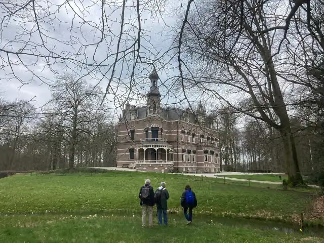 Kasteel 't SuiderasCastle · 4.6 km from the route
- 23
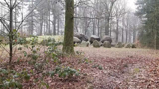 Hunebed D49 Papeloze kerkArchaeological site · 430 m from the route
- 24
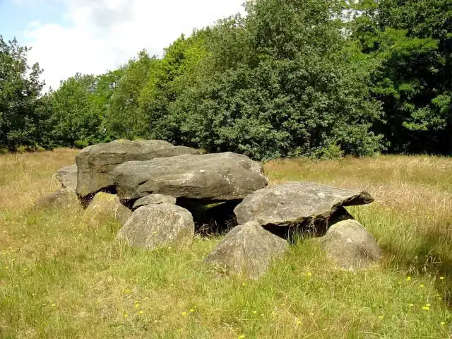 Hunebed D41 Emmen NoordArchaeological site · 6.2 km from the route
- 25
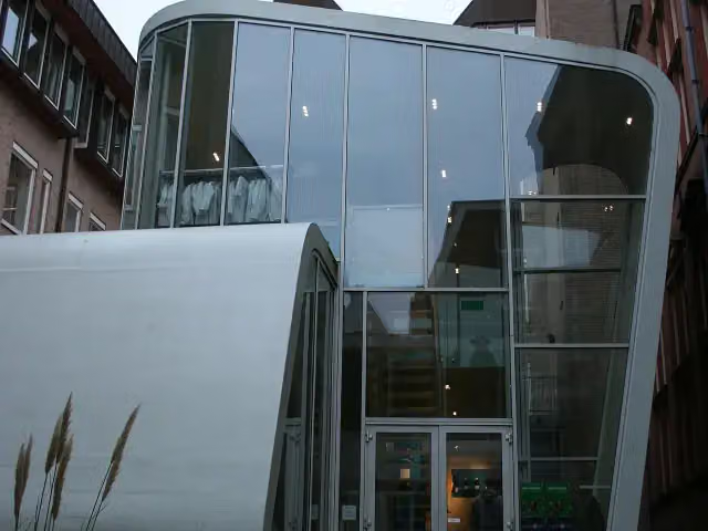 University MuseumMuseum · 198 m from the route
Explore more
More walks around Het Hogeland
Frequently asked questions
How long is Pieterpad deel 1 - Pieterburen-Vorden?
Pieterpad deel 1 - Pieterburen-Vorden is 239.8 km long, in 13 stages of 18.4 km on average. Allow ± 4:10 h per stage of walking: 4.5 km an hour and 10 minutes more per 100 metres of climbing, without breaks.
Is this route a circular walk?
No, the route runs from Pieterburen to Vorden.
Where does this route start?
The route starts in Het Hogeland.
How hard is this route?
Moderate per stage, with 23 m per stage of climbing.
Are there toilets along this route?
Yes, there are 17 public toilets within 100 m of the route. The longest stretch without a toilet is 135.4 km.
Can you fill up with water along this route?
Yes, there are 21 water fountains and refill points within 100 m of the route.
What is there to see along this route?
Along the way you pass Noorderplantsoen, Museum aan de A and Synagoge Groningen.
Starting point
More routes from this place
Route data © OpenStreetMap contributors





