 Outdoor Pitstop
Walking route · Hardinxveld-Giessendam · Updated on 5 November 2026
Avelingen route walk
Avelingen route is a walk of 5 km from Hardinxveld-Giessendam. Along the way you'll find 5 benches and picnic tables.
The route step by step
From start to finish, with what you pass along the way and the distance in between.
- 5 km
- ± 1:05 h
- ↑ 7 m · ↓ 4 m
- Easy
- From A to B
- Local route
Start in Hardinxveld-Giessendam
0 km5 km · 5 benches
Finish
5 km
No public toilet along the wayThere is no public toilet within 100 m of the route. Go before you start, or find one a bit further away in the app.
The route with the pitstops and sights within 100 m of it.
Elevation and terrain
- Up
- ↑ 7 m
- Down
- ↓ 4 m
- Highest point
- 6 m
- Lowest point
- -1 m
- 2 stairs
Elevation from AHN (Rijkswaterstaat), smoothed.
Way types
5 km in total- Track: 2.5 km
- Path: 1.4 km
- Cycleway: 667 m
- Street: 300 m
- Stairs: 2 stairs
- Road: 25 m
Surfaces
5 km in total- Gravel: 1.9 km
- Natural: 1.8 km
- Asphalt: 667 m
- Paved: 75 m
- Unknown: 575 m
About the walking route Avelingen route
Updated on 5 November 2026, with data from OpenStreetMap and the AHN.
Where do you walk?
Avelingen route is a walking route of 5 km that starts in Hardinxveld-Giessendam. It does not end where it starts.
How hard is the route?
The route is almost flat. You climb 7 m in total and descend 4 m. There are 2 flights of steps along the way. Allow ± 1:05 h, without breaks. The level is easy.
What paths do you walk on?
The longest part is track (2.5 km), path (1.4 km) and cycleway (667 m). Of the surface, 1.9 km gravel and 1.8 km natural. For 575 m the surface is not known.
Pitstops along the way
Within 100 metres of the route there are 5 benches and picnic tables. There is no public toilet within 100 metres of the route. The Outdoor Pitstop app navigates you there.
Walks nearby
6- Pelgrimspad 1 - 8Moderate · From A to B17.6 km
- Pelgrimspad 1 - 7Hard · From A to B27.2 km
- Biesboschpad - 6Moderate · From A to B19.2 km
- Biesboschpad - 7Moderate · From A to B19.6 km
- Pelgrimspad 1 - 04 en Romeinse Limespad 05 - Omleiding Broedseizoen en met hondEasy · From A to B2.1 km
- Waterliniepad - 19Moderate · From A to B19.1 km
Sights nearby
Within 10 km of the route, best known first.
- 1
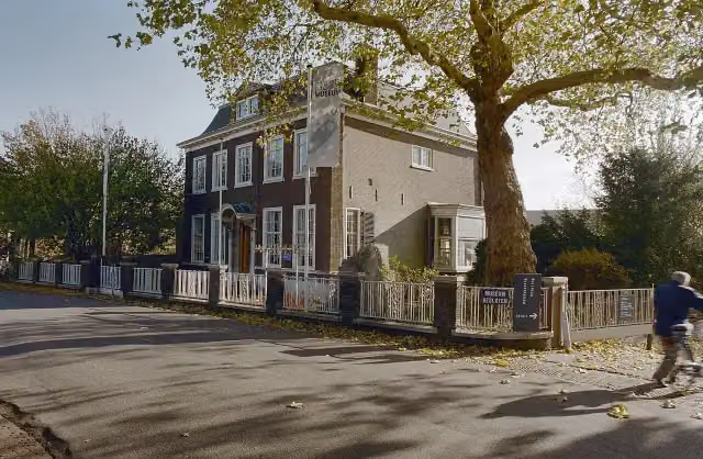 Nationaal BaggermuseumMuseum · 8.7 km from the route
- 2
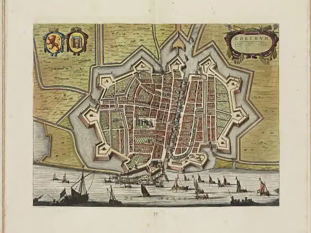 Vesting GorinchemCastle · 3.3 km from the route
- 3
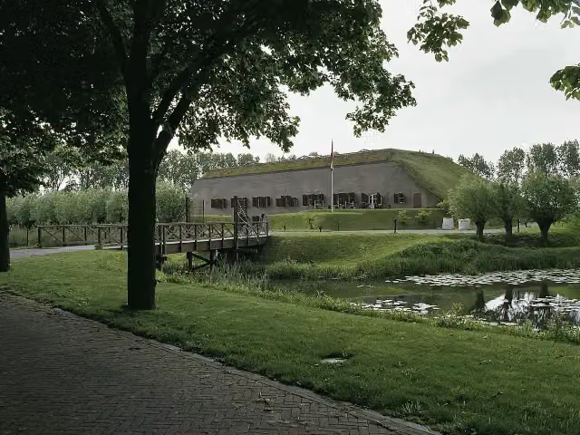 Fort bij het SteurgatFort · 3.1 km from the route
- 4
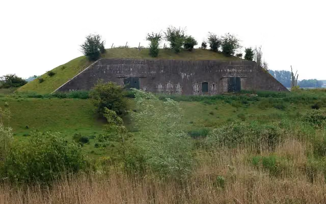 Batterij onder BrakelFort · 9.6 km from the route
- 5
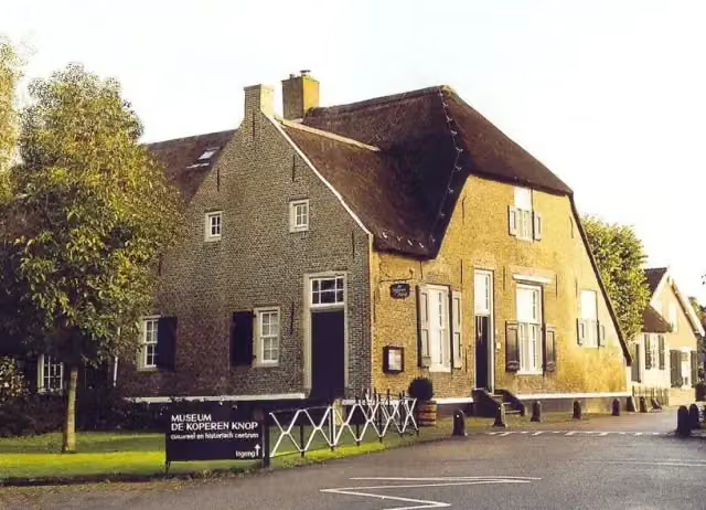 Museum De Koperen KnopMuseum · 2.6 km from the route
- 6
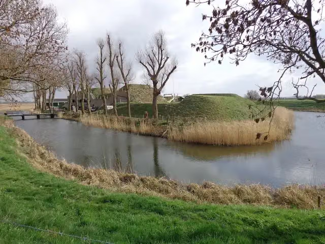 Werk aan de BakkerskilFort · 4.2 km from the route
- 7
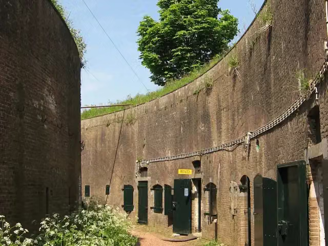 Fort VurenFort · 7.2 km from the route
- 8
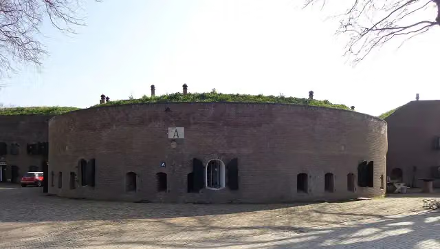 Fort aan de Uppelse DijkFort · 3.6 km from the route
- 9
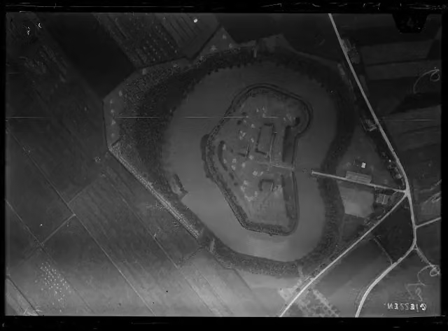 Fort bij GiessenFort · 8.6 km from the route
- 10
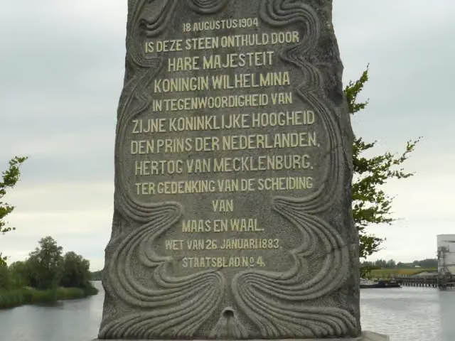 Scheiding van Maas en WaalMemorial · 9.5 km from the route
- 11
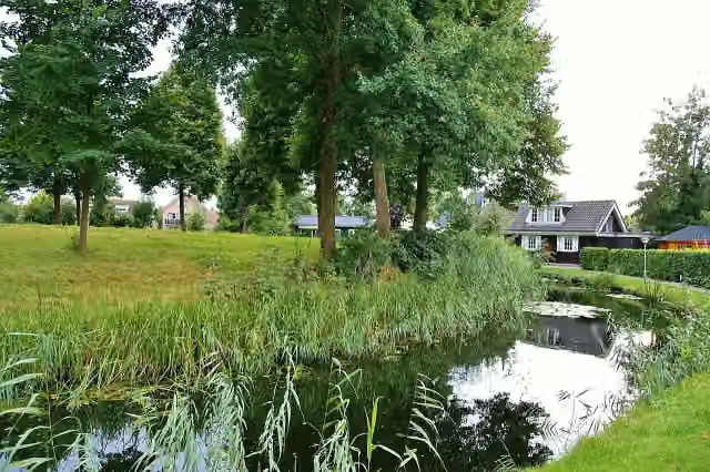 GiessenburgRuins · 2.2 km from the route
- 12
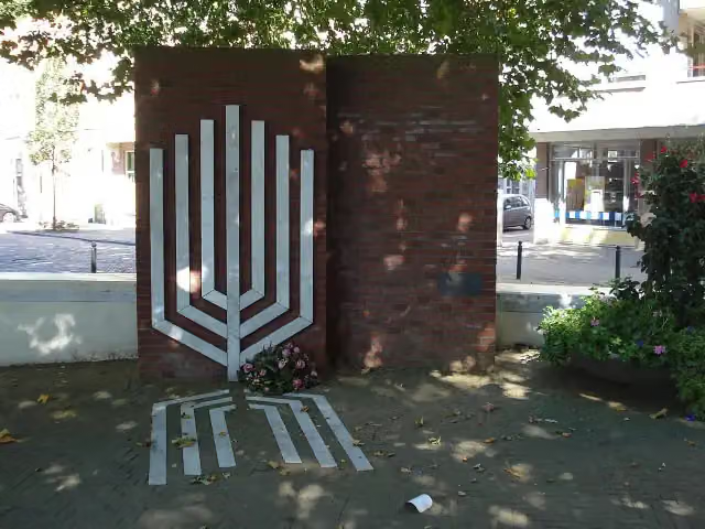 Joods MonumentMemorial · 3 km from the route
- 13
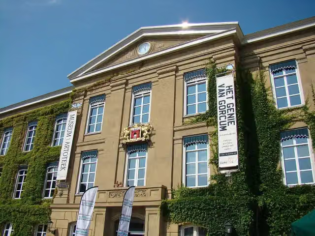 Gorcums MuseumMuseum · 3.2 km from the route
- 14
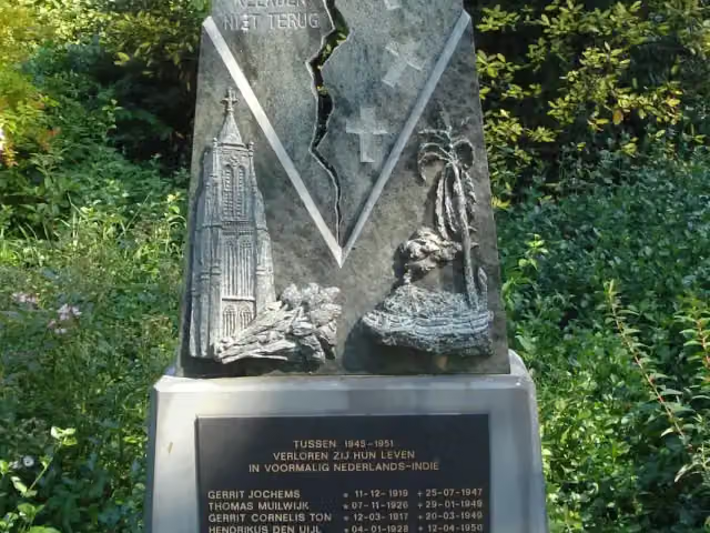 Indië-MonumentMemorial · 3.4 km from the route
- 15
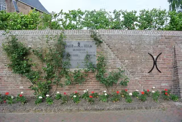 MemorialMemorial · 4.7 km from the route
- 16
 Loevestein CastleCastle · 6.7 km from the route
- 17Observation towerObservation tower · 7.6 km from the route
Explore more
Frequently asked questions
How long is Avelingen route?
Avelingen route is 5 km long. Allow ± 1:05 h of walking: 4.5 km an hour and 10 minutes more per 100 metres of climbing, without breaks.
Is this route a circular walk?
No, the route starts and ends at different spots.
Where does this route start?
The route starts in Hardinxveld-Giessendam.
How hard is this route?
Easy, with 7 m of climbing.
Are there toilets along this route?
No, there is no public toilet within 100 m of the route. Go before you start.
Can you fill up with water along this route?
No, there is no water point within 100 m of the route. Bring enough water.
Starting point
More routes from this place
Route data © OpenStreetMap contributors





