 Outdoor Pitstop
Walking route · Cleves · X1 Borderland Way · Updated on 14 November 2026
X1 Grenzlandweg walk
X1 Grenzlandweg is a walk of 202.5 km from Cleves. Along the way you'll find 456 benches, 2 water fountains and refill points, 9 public toilets, 3 bike pumps and 1 honesty box.
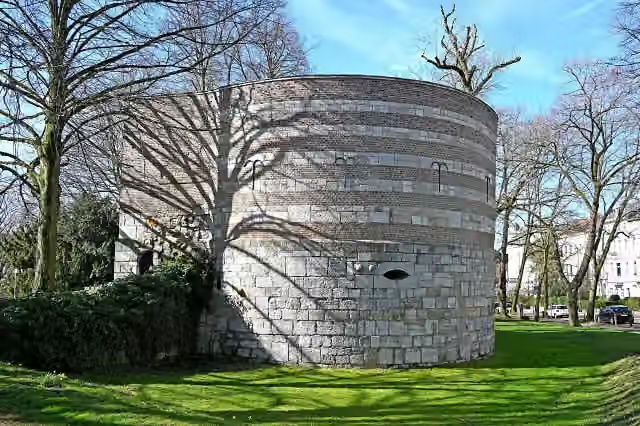
i
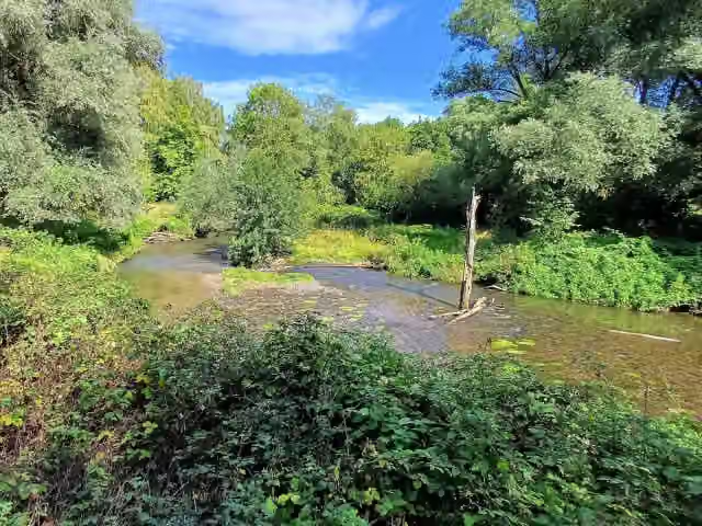
i
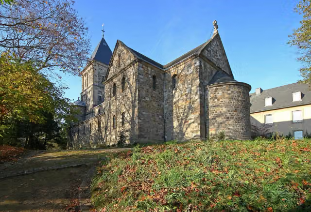
i
The route step by step
From start to finish, with what you pass along the way and the distance in between.
- 202.5 km
- ± 46:25 h
- ↑ 867 m · ↓ 771 m
- Hard
- From A to B
- Regional route
Start in Cleves
0 kmAt the start: Aussichtsturm.
23.5 km · 35 benches

Haus zu den Fünf Ringen
23.5 kmWater point
26.5 km · 14 benches
Haus Steprath
49.9 kmCastle
2.2 km · 3 benches
Schloss Walbeck
52.1 kmCastle
3.1 km
Bike pump
55.2 km4.4 km · 4 benches
Fort Hazepoot
59.6 kmArchaeological site
13.8 km · 18 benches
3 public toilets
73.4 km6.4 km · 29 benches
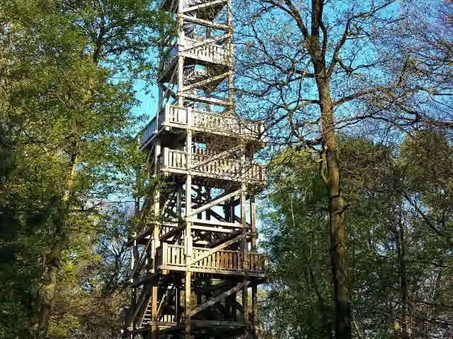
Aussichtsturm Taubenberg
79.8 kmObservation tower
876 m · 16 benches
2 public toilets
80.7 km1.6 km · 7 benches
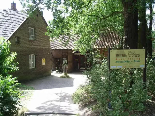
Textilmuseum Die Scheune
82.3 kmPublic toilet and bike pump
5 km · 23 benches
Motte Alt-Krickenbeck
87.3 kmArchaeological site
1.2 km · 10 benches
Public toilet
88.5 km378 m · bench
Public toilet
88.9 km604 m · 4 benches
Bike pump
89.5 km22.6 km · 50 benches
Observation tower
112.1 kmObservation tower
10.4 km · 35 benches
Honesty box
122.5 km21.5 km · 36 benches
Georgsdenkmal
144 kmMemorial
163 m · 8 benches
Burg Wassenberg and 1 more
144.2 kmBergfried
28.7 km · 44 benches
Ehem. Burg (Ursulinen Kloster)
172.8 kmCastle
203 m · bench
Public toilet
173 km13.7 km · 28 benches
Water point
186.7 km4.9 km · 10 benches
Burg Wilhelmstein
191.6 kmAttraction
6.3 km · 12 benches
Burg Soerserhaus
197.9 kmCastle
4.6 km · 68 benches
Finish
202.5 kmAt the finish: Ehrenmal.
Longest stretch without a toilet: 84.2 kmBetween 88.9 km and 173 km there is no public toilet within 100 m of the route.
The route with the pitstops and sights within 100 m of it.
16 sights along the way
In the order you pass them. With the Outdoor Pitstop app you hear their story on the spot. 8 more along the route are on the map.

Observation tower · after 12 m
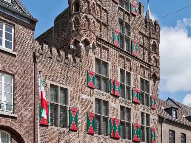
i
Photo: kaʁstn Disk/Cat · Wikimedia Commons · CC BY-SA 3.0 deView the photo on Wikimedia CommonsMonument · after 23.5 km
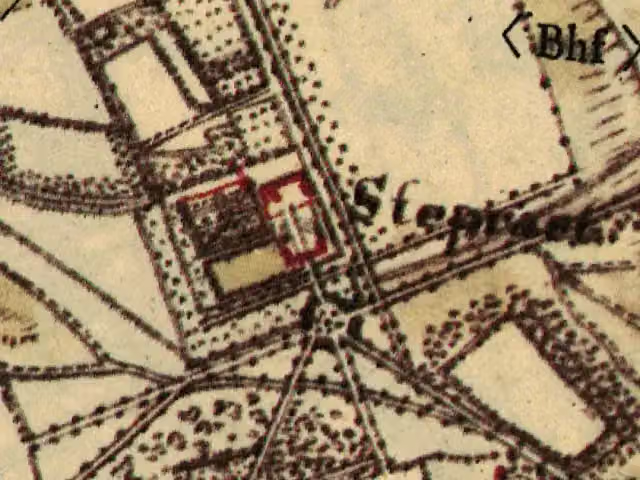
Castle · after 49.9 km
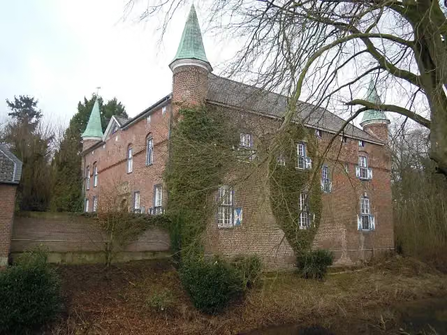
i
Photo: Berthgmn · Wikimedia Commons · CC BY-SA 3.0View the photo on Wikimedia CommonsCastle · after 52.1 km
Archaeological site · after 59.6 km
i
Photo: Beisenkrieger · Wikimedia Commons · CC BY-SA 4.0View the photo on Wikimedia CommonsObservation tower · after 79.8 km
i
Photo: Bodoklecksel · Wikimedia Commons · CC BY-SA 3.0View the photo on Wikimedia CommonsMuseum · after 82.3 km
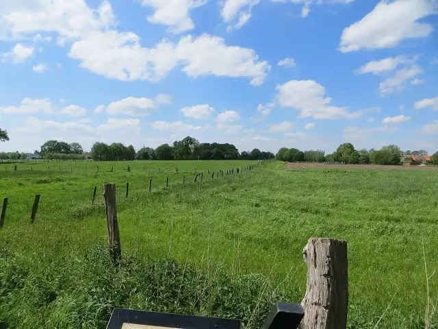
i
Photo: Kurwal · Wikimedia Commons · CC BY-SA 4.0View the photo on Wikimedia CommonsArchaeological site · after 87.3 km
Elevation and terrain
- Up
- ↑ 867 m
- Down
- ↓ 771 m
- Highest point
- 231 m
- Lowest point
- 13 m
- 7 stairs
Elevation from Copernicus GLO-30 (European Union and ESA), smoothed.
produced using Copernicus WorldDEM-30 © DLR e.V. 2010-2014 and © Airbus Defence and Space GmbH 2014-2018 provided under COPERNICUS by the European Union and ESA; all rights reserved
Way types
202.5 km in total- Track: 112.9 km
- Path: 40.3 km
- Road: 22.5 km
- Street: 18.8 km
- Footpath: 4.9 km
- Busy road: 1.2 km
- Cycleway: 875 m
- Stairs: 7 stairs
Surfaces
202.5 km in total- Gravel: 48.3 km
- Asphalt: 45.3 km
- Unpaved: 24.3 km
- Paved: 12.8 km
- Natural: 7.3 km
- Unknown: 64.1 km
About the walking route X1 Grenzlandweg
Updated on 14 November 2026, with data from OpenStreetMap, the AHN and Copernicus.
Where do you walk?
X1 Grenzlandweg is a walking route of 202.5 km that starts in Cleves. It does not end where it starts. Along the way you pass Aussichtsturm (after 12 m), Haus zu den Fünf Ringen (after 23.5 km) and Haus Steprath (after 49.9 km).
How hard is the route?
You climb 867 m in total and descend 771 m. There are 7 flights of steps along the way. Allow ± 46:25 h, without breaks. The level is hard.
What paths do you walk on?
The longest part is track (112.9 km), path (40.3 km) and road (22.5 km). Of the surface, 48.3 km gravel and 45.3 km asphalt. For 64.1 km the surface is not known.
Pitstops along the way
Within 100 metres of the route there are 456 benches, 2 water fountains and refill points, 9 public toilets, 3 bike pumps and 1 honesty box. You can fill your bottle after 23.5 km and after 186.7 km. The longest stretch without a toilet is 84.2 km. The Outdoor Pitstop app navigates you there.
Walks nearby
6- Rhein-Niers-Fleuth-WegHard · From A to B67.7 km
- Europäischer Fernwanderweg E8, Nordrhein-WestfalenHard · From A to B469.7 km
- Grote Rivierenpad - 15Moderate · From A to B16.9 km
- Noaberpad etappe 23Moderate · From A to B18.1 km
- Romeinse Limespad - 19aModerate · From A to B17.7 km
- Jakobs-Pilgerweg Nijmegen-KölnHard · From A to B234.6 km
Sights nearby
Within 10 km of the route, best known first.
- 1
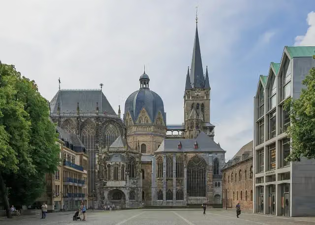 Aachen CathedralAttraction · 860 m from the route
- 2
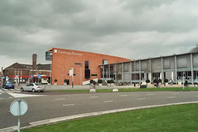 Limburgs MuseumMuseum · 4.7 km from the route
- 3
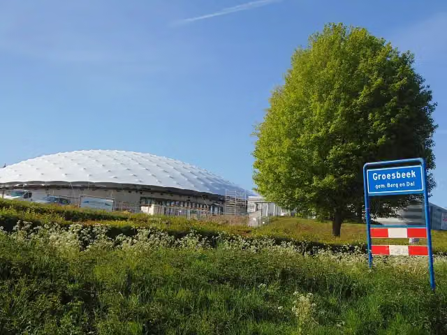 Freedom MuseumMuseum · 8.7 km from the route
- 4
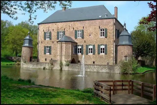 Kasteel ErensteinCastle · 2.1 km from the route
- 5
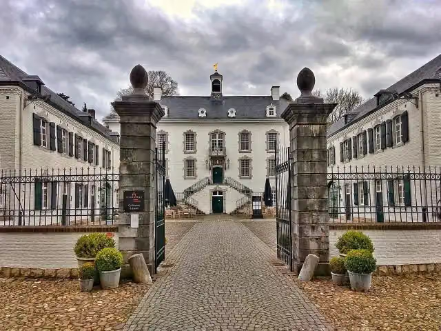 Kasteel VaalsbroekCastle · 6.3 km from the route
- 6
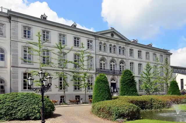 Huis BloemendalCastle · 4.9 km from the route
- 7
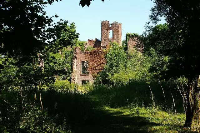 Kasteel BleijenbeekCastle · 7.6 km from the route
- 8
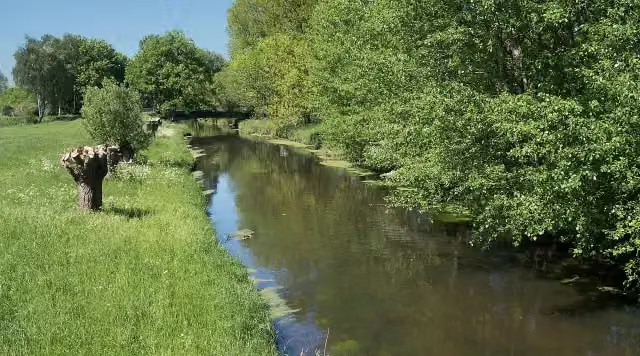 NiersmündungAttraction · 8.7 km from the route
- 9
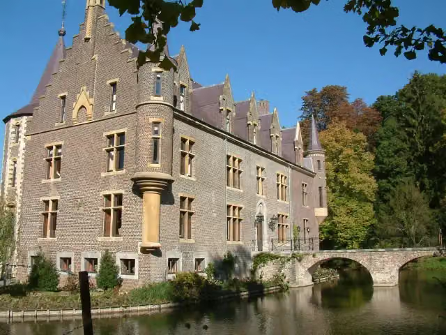 Kasteel TerwormCastle · 8.8 km from the route
- 10
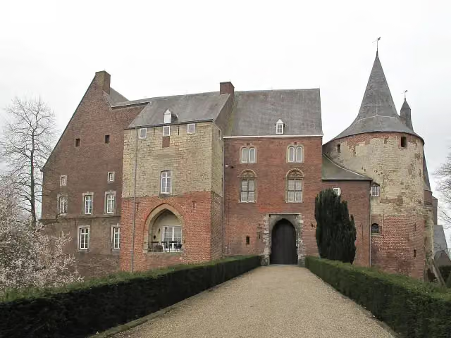 Kasteel HornCastle · 9.8 km from the route
- 11
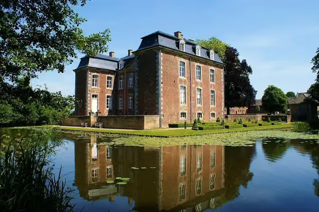 Kasteel CortenbachCastle · 9.9 km from the route
- 12
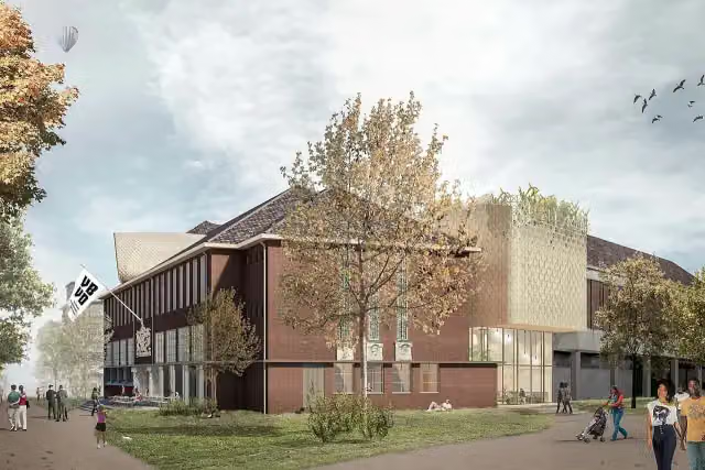 Museum van Bommel van DamMuseum · 4.8 km from the route
- 13
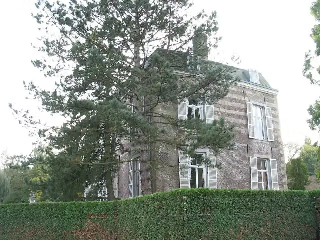 Kasteel StrijthagenCastle · 3 km from the route
- 14
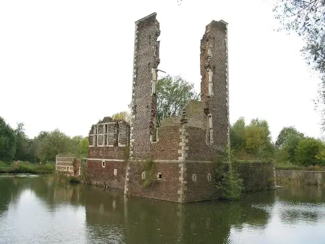 Kasteelruïne SchaesbergRuins · 5.5 km from the route
- 15
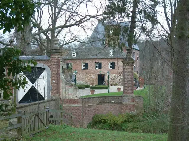 Kasteel LemiersCastle · 5.8 km from the route
- 16
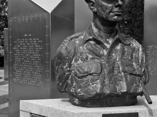 Nationaal Indië MonumentMemorial · 8.7 km from the route
- 17
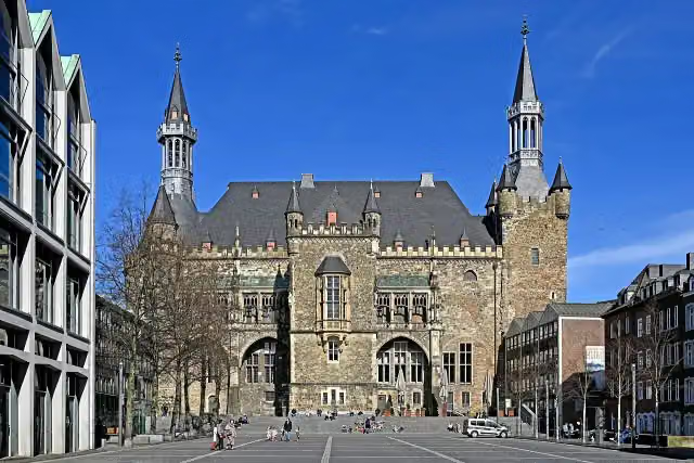 Aachen Town HallAttraction · 713 m from the route
- 18
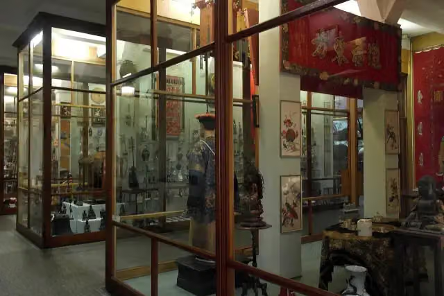 Missiemuseum SteylMuseum · 3.6 km from the route
- 19
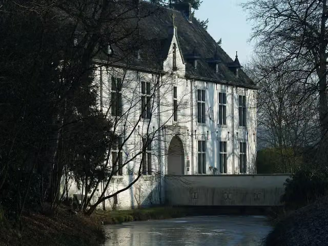 De BercktCastle · 4.7 km from the route
- 20
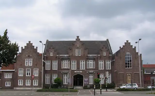 CuypershuisMuseum · 8.3 km from the route
- 21
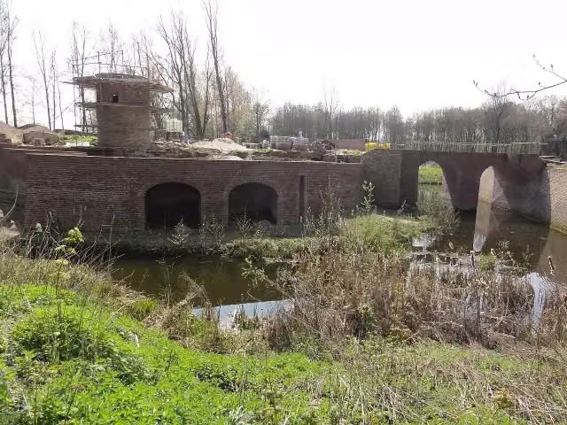 Kasteel GeijsterenCastle · 9.6 km from the route
- 22
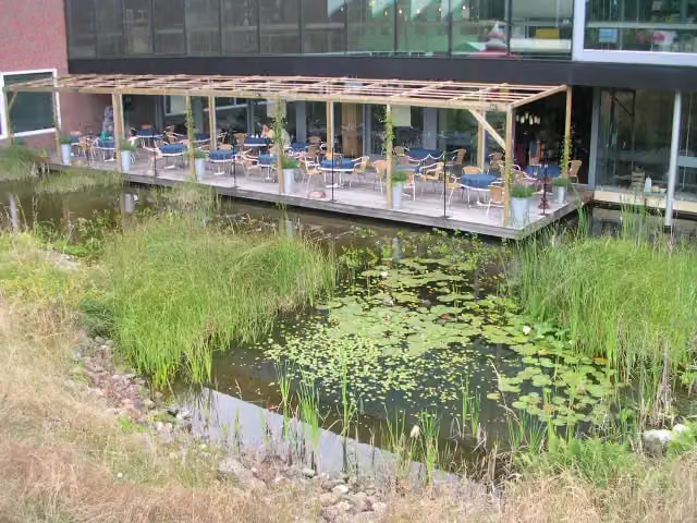 Discovery MuseumMuseum · 2.3 km from the route
- 23
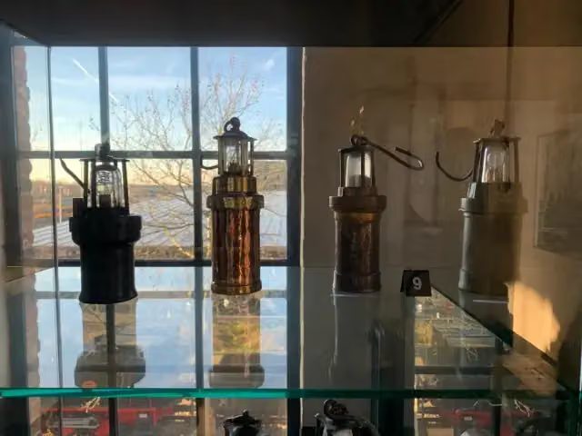 Nederlands MijnmuseumMuseum · 6.8 km from the route
- 24
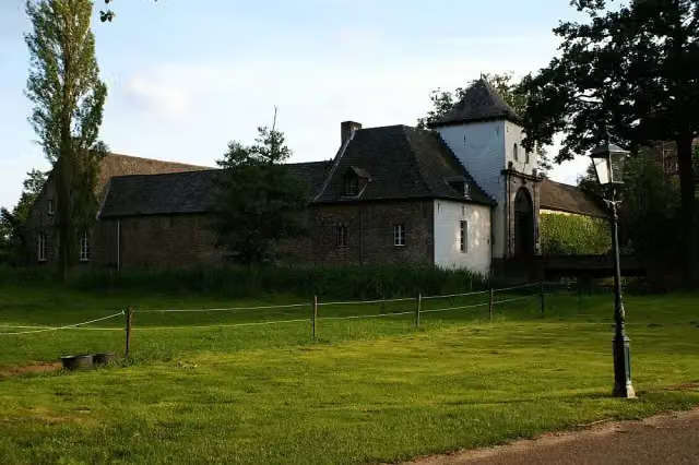 Kasteel DaelenbroeckCastle · 5.8 km from the route
- 25
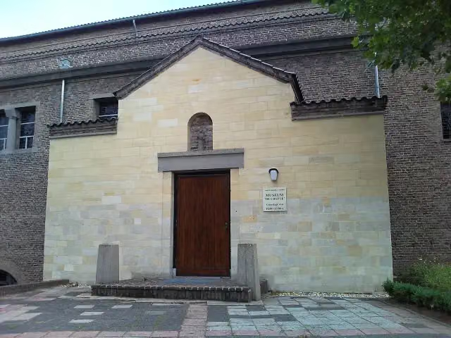 De CrypteMuseum · 7.2 km from the route
Explore more
Frequently asked questions
How long is X1 Grenzlandweg?
X1 Grenzlandweg is 202.5 km long. Allow ± 46:25 h of walking: 4.5 km an hour and 10 minutes more per 100 metres of climbing, without breaks.
Is this route a circular walk?
No, the route starts and ends at different spots.
Where does this route start?
The route starts in Cleves.
How hard is this route?
Hard, with 867 m of climbing.
Are there toilets along this route?
Yes, there are 9 public toilets within 100 m of the route. The longest stretch without a toilet is 84.2 km.
Can you fill up with water along this route?
Yes, there are 2 water fountains and refill points within 100 m of the route.
What is there to see along this route?
Along the way you pass Aussichtsturm, Haus zu den Fünf Ringen and Haus Steprath.
Can I download this route as a GPX file?
Yes. Sign in with your Outdoor Pitstop account and choose Download GPX at the top of this page: 10 routes a month for free, unlimited with Pro.
Starting point
More routes from this place
Route data © OpenStreetMap contributors





